Standing on the summit of Glacier National Park’s Logan Pass last August, I watched the sun illuminate peaks stretching endlessly toward the Canadian border.
It struck me that most visitors I met that day had only a vague sense of where Montana actually sits on the map—and how its location shapes everything from its weather to its wild character.
- Montana is located in the northwestern United States, bordered by Canada to the north and four US states
- It’s the 4th largest state by area but only 44th in population—meaning vast wilderness and few crowds
- The state spans two time zones (Mountain and Pacific in a small western section)
- Major airports in Bozeman, Missoula, Billings, and Kalispell provide easy access
- Montana’s location creates dramatic climate variations—pack layers regardless of season
- Distance matters here: Glacier to Yellowstone is 450+ miles (plan accordingly)
Montana’s Exact Geographic Position
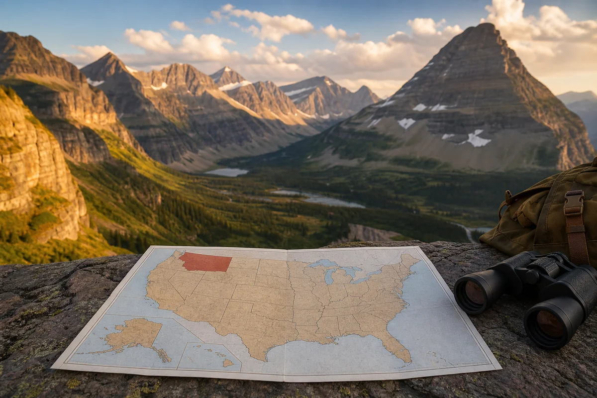
Let me give you the precise answer first: Montana sits in the northwestern corner of the contiguous United States, roughly between 44°N and 49°N latitude and 104°W to 116°W longitude. The 49th parallel forms its entire northern boundary—that famous invisible line separating the US from Canada.
I’ve driven this border region multiple times, and there’s something almost surreal about standing at the Port of Sweetgrass crossing, knowing the landscape looks identical on both sides yet belongs to two different nations.
Montana occupies 147,040 square miles, making it the fourth-largest state in the country. To put that in perspective, during my road trip across the state last summer, I drove the equivalent distance of traveling from New York City to Charlotte, North Carolina—and I never left Montana.
Montana’s Neighboring States and International Border
Understanding Montana’s neighbors helps you plan realistic routes and appreciate the state’s unique position.
The Canadian Border: 545 Miles of International Boundary
Montana shares its entire northern edge with Canada, specifically the provinces of British Columbia, Alberta, and Saskatchewan. I’ve crossed at several points, including the remote Roosville crossing near Eureka and the busier Sweet Grass/Coutts port on I-15.
This international border isn’t just a line on a map—it shapes Montana’s culture, economy, and even its wildlife. Grizzly bears, wolves, and caribou move freely across this boundary through protected corridors. Waterton-Glacier International Peace Park, which I explored over five days during my visit, represents one of the world’s first transboundary protected areas.

Idaho: The Western Neighbor
Montana’s western boundary with Idaho follows the rugged Bitterroot Mountains for much of its length. When I drove Interstate 90 from Missoula toward Spokane, the border crossing near Lookout Pass felt like entering another world—suddenly the forests grew thicker, and the valleys narrowed.
The Idaho border stretches approximately 475 miles, much of it through some of the most remote wilderness in the Lower 48.
Wyoming: The Southern Connection to Yellowstone
Wyoming sits directly south of Montana, and this border is crucial for travelers because Yellowstone National Park straddles both states. During my multiple trips to Yellowstone, I’ve stayed in both West Yellowstone, Montana, and Gardiner, Montana—both gateway towns that technically sit in Montana while providing direct park access.
The Wyoming border runs about 364 miles, crossing from the dramatic Beartooth Highway in the east to the gentle ranch lands near the Idaho corner.
North Dakota and South Dakota: The Eastern Plains
Montana’s eastern borders with the Dakotas run through dramatically different terrain than the mountainous west. When I drove from Billings to Theodore Roosevelt National Park in North Dakota, the landscape transformed from rugged rimrocks to rolling prairie—endless grasslands that felt like an ocean of grass.
The North Dakota border stretches about 211 miles, while the South Dakota border adds another 98 miles of shared boundary.
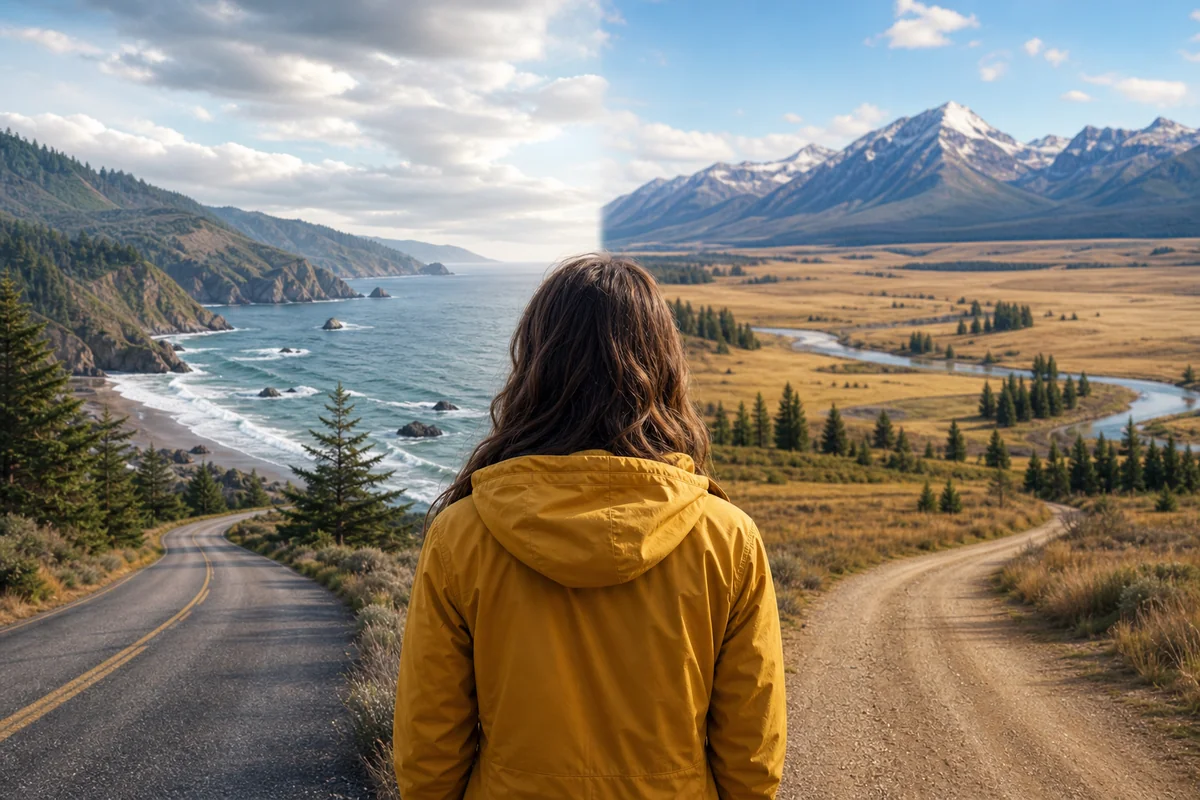
Understanding Montana’s Two Distinct Regions
Here’s something that surprises many first-time visitors: Montana is essentially two states in one, divided by the Continental Divide.
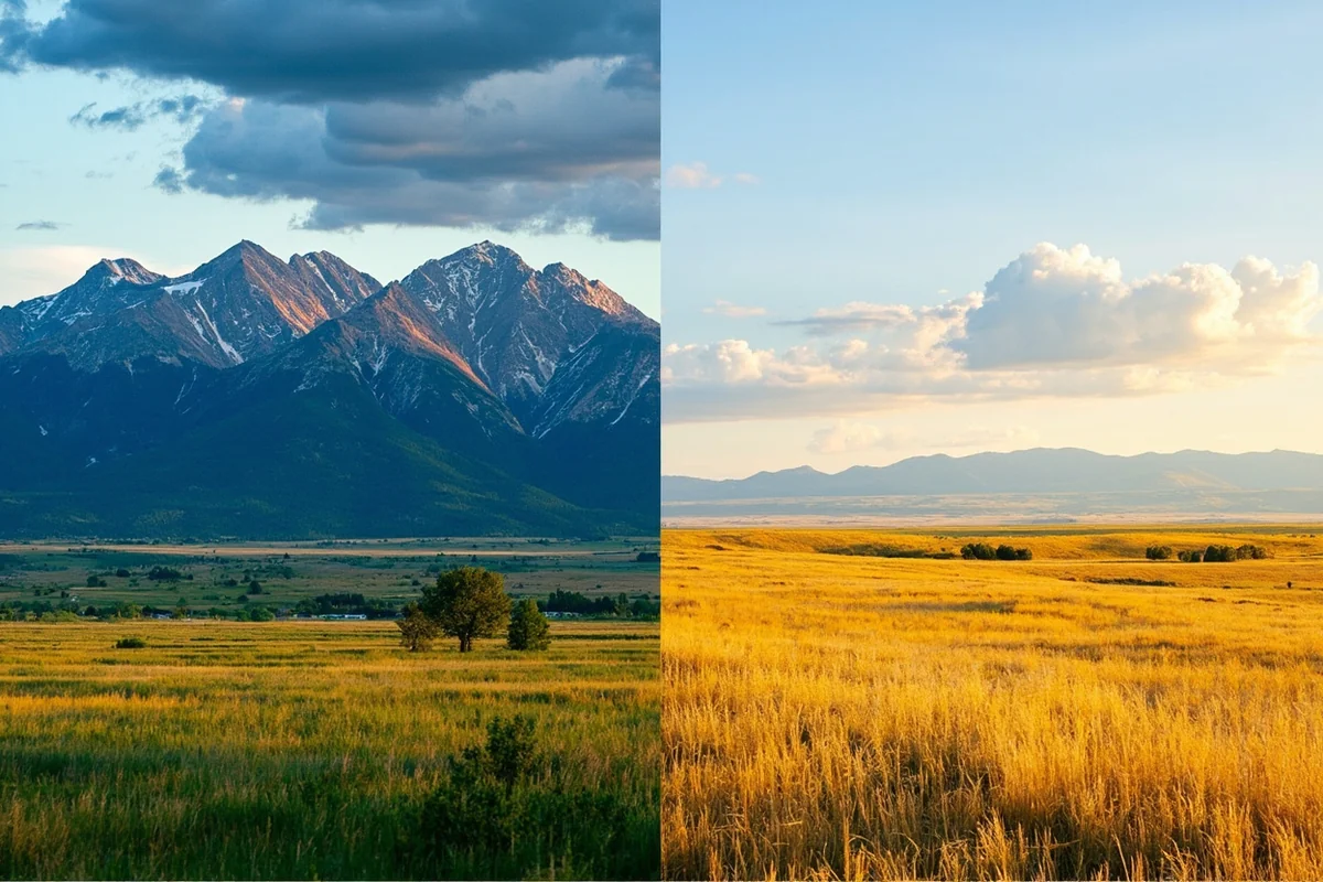
Western Montana: The Mountain Region
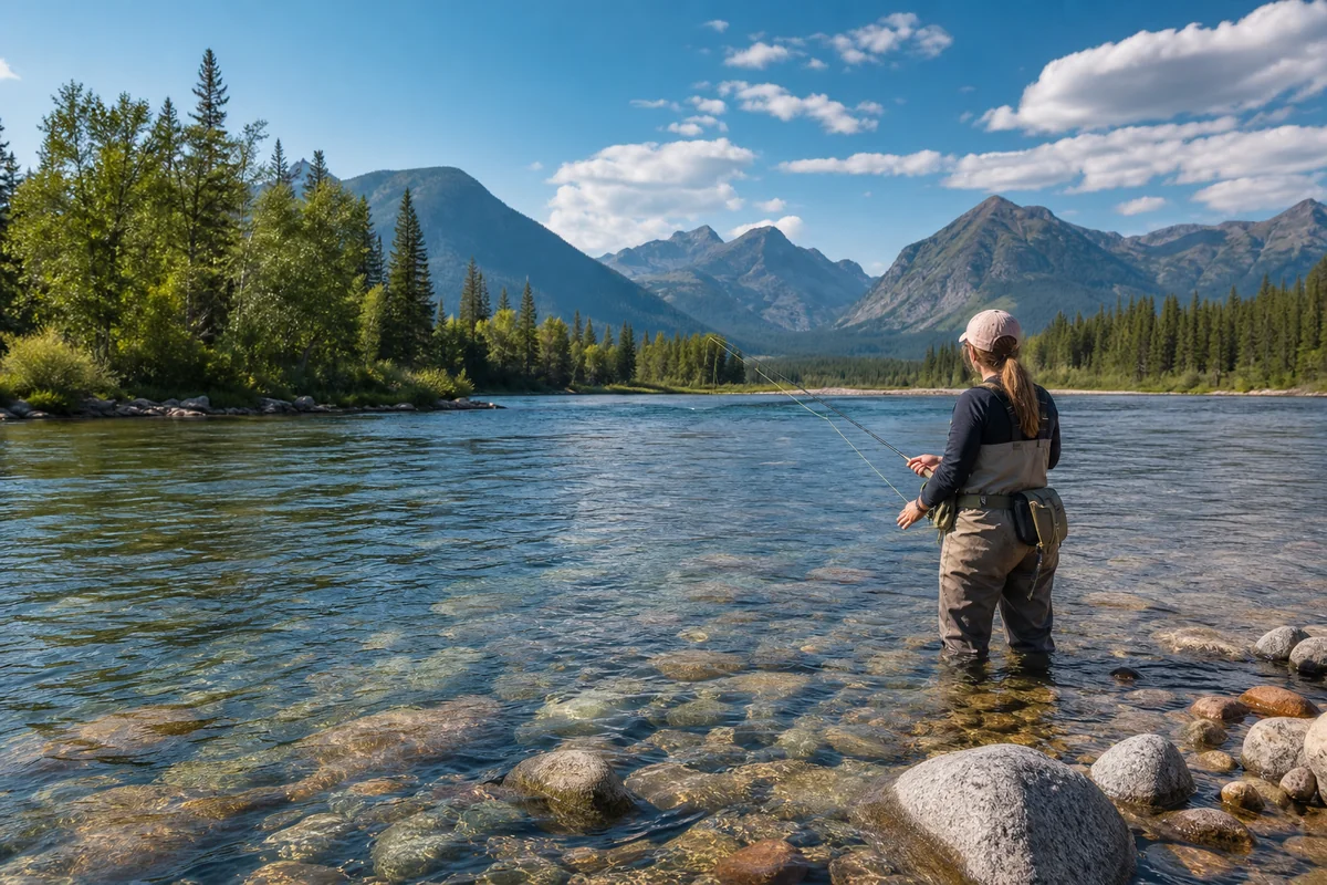
This is the Montana most people picture—soaring peaks, crystal-clear rivers, and dense forests. I’ve spent countless days exploring this region, from paddleboarding on Flathead Lake (the largest natural freshwater lake west of the Mississippi) to hiking the trails around Whitefish.
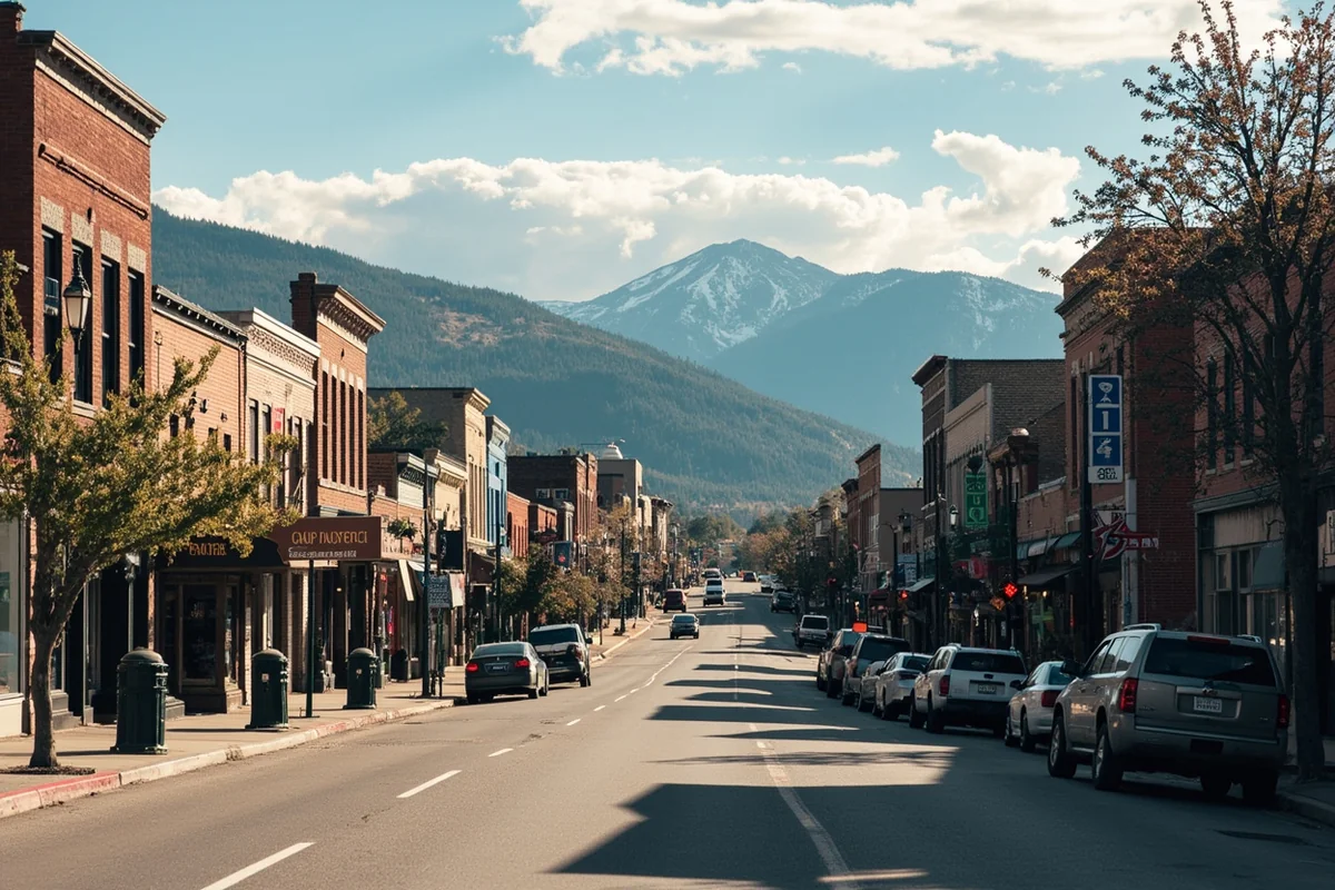
Western Montana includes Glacier National Park, Missoula, Kalispell, Helena, and the famous ski towns like Big Sky and Whitefish. The terrain is dominated by the Northern Rocky Mountains, with elevations ranging from valley floors around 3,000 feet to peaks exceeding 12,000 feet.
This region experiences a modified maritime climate due to Pacific weather systems pushing through the mountain passes. I’ve seen rain in Missoula while Billings baked in sunshine—they’re in the same state but essentially different climate zones.
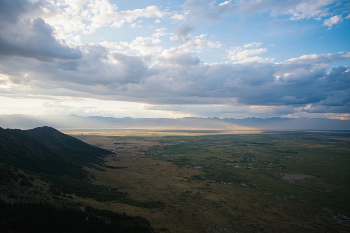
Eastern Montana: The High Plains
East of the Rockies, Montana transforms into high plains prairie—cattle country that stretches to the horizon. I’ll admit I initially overlooked this region, but my trip to the Missouri River Breaks last fall completely changed my perspective.
This is where Lewis and Clark paddled through, where millions of bison once roamed, and where you can still experience the authentic American West without crowds. Eastern Montana includes Billings (the state’s largest city), Miles City, Glendive, and vast expanses of agricultural land.
Elevations drop significantly here, ranging from about 2,000 feet along the Missouri River to around 4,000 feet on the higher plateaus.
Practical Location Considerations for Trip Planning
Now let me share what I wish I’d known before my first Montana trip—the practical realities of traveling in such a massive state.
Distances Are Genuinely Vast
| Route | Distance | Drive Time |
|---|---|---|
| Glacier NP to Yellowstone NP | 460 miles | 7-8 hours |
| Missoula to Billings | 340 miles | 5 hours |
| Bozeman to Glacier NP | 300 miles | 4.5 hours |
| Helena to Miles City | 330 miles | 5 hours |
| Kalispell to Great Falls | 220 miles | 3.5 hours |
I cannot stress this enough: don’t try to visit Glacier and Yellowstone in the same weekend. I’ve met frustrated travelers who didn’t realize they’d be spending their entire trip in a car.
The Time Zone Split
Montana primarily operates on Mountain Time, but here’s a quirk that catches some visitors off guard: a small section of western Montana near Glacier National Park technically falls into the Pacific Time Zone, though most businesses and services operate on Mountain Time for practical purposes.
When I was coordinating meeting friends in West Glacier last summer, this caused minor confusion. Just set your phone to automatic time zone updates and you’ll be fine.

How Montana’s Location Affects Your Travel Experience
Climate Variations by Location
Montana’s geographic position creates wild weather variations. During my February visit to Big Sky, temperatures dropped to -15°F, while my August trip to the same area saw highs near 85°F.
The western mountains receive 300+ inches of snow annually in some locations—fantastic for skiing but challenging for winter travel. Eastern Montana sees less precipitation but experiences more extreme temperature swings.
I recommend always packing layers regardless of season. On a single day hiking at Glacier’s Many Glacier area, I wore a down jacket at sunrise, stripped to a t-shirt by noon, and needed rain gear by afternoon.
Wildlife Patterns Based on Geography
Montana’s location along the Northern Rockies creates one of the most diverse wildlife habitats in North America. Grizzly bears concentrate primarily in the western mountains and northern wilderness areas. I’ve had close encounters (at safe distances) near Many Glacier Hotel and along the Blackfoot River.
The eastern plains support different species—pronghorn antelope, prairie dogs, and countless birds. During my drive through the Charles M. Russell National Wildlife Refuge, I counted over 50 pronghorn in a single afternoon.
Getting to Montana: Access Points Based on Your Origin
Understanding Montana’s location helps you choose the smartest entry point.
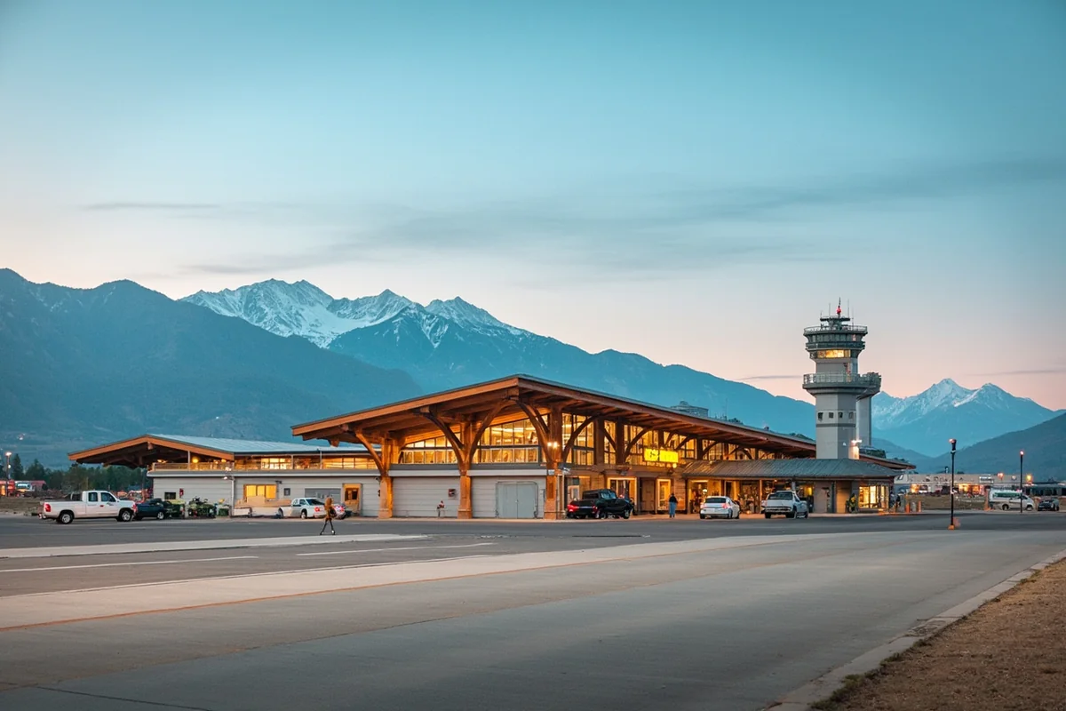
Major Airports
Montana has eight commercial airports, but four handle the majority of visitors:
**Bozeman Yellowstone International (BZN)** has become Montana’s busiest airport. When I flew in last October, I was impressed by the efficiency despite growing passenger numbers. It’s ideal for Yellowstone access and Big Sky skiing.
**Missoula International (MSO)** serves western Montana beautifully. I prefer it for trips focused on the Bitterroot Valley, Clark Fork River, and general exploration of the western region.
**Glacier Park International (FCA)** in Kalispell is your gateway to Glacier National Park. During peak summer, I’ve found better flight availability here than some might expect.
**Billings Logan International (BIL)** serves eastern Montana and provides access to the Beartooth Highway—one of America’s most spectacular drives.
Driving Distances from Major US Cities
| From | To Bozeman | To Missoula |
|---|---|---|
| Seattle, WA | 680 miles | 480 miles |
| Denver, CO | 640 miles | 835 miles |
| Salt Lake City, UT | 470 miles | 495 miles |
| Minneapolis, MN | 920 miles | 1,050 miles |
| Portland, OR | 700 miles | 480 miles |
If you’re driving from the Pacific Northwest, I recommend entering Montana via I-90 through Lookout Pass. The descent into the Clark Fork Valley is stunning, and you’ll immediately understand why Montanans love their state.
From the south, I-15 through Butte provides quick access, though the Beartooth Highway (seasonal) from Red Lodge offers an unforgettable alternative route into the state.
Montana’s Location Within the Greater Yellowstone Ecosystem
Here’s context that transformed how I understand Montana: the state contains significant portions of the Greater Yellowstone Ecosystem, one of the largest intact temperate ecosystems on Earth.
This 20-million-acre region centers on Yellowstone National Park but extends deep into Montana through wilderness areas, national forests, and private ranch lands. When I guided friends through the Paradise Valley—that stunning corridor between Livingston and Gardiner—I explained that they were witnessing a wildlife migration corridor used by elk, bears, and wolves for thousands of years.
Montana’s northern position in this ecosystem means cooler temperatures and longer winters, which affects everything from when trails open to when wildlife becomes most active.
How Montana’s Remote Location Shapes the Culture
After spending extended time in Montana, I’ve come to understand how geography creates culture. Montana’s relative isolation from major population centers has fostered a distinctive mindset.
Self-Reliance Is Necessary
When the nearest hospital might be an hour away and winter storms can close roads for days, people learn to prepare. I’ve noticed that Montanans I’ve met carry emergency gear in their vehicles year-round—something visitors should adopt.
Space Changes Perspectives
There’s something about being in a state with just 7.4 people per square mile that shifts your mental state. During my week in the Missouri River Breaks, I didn’t see another vehicle for three consecutive days. That kind of solitude isn’t accidental—it’s a direct result of Montana’s location and geography.
Gateway Communities Thrive
Montana’s position as the northern gateway to Yellowstone and the host of Glacier National Park has created vibrant tourism economies in towns like West Yellowstone, Gardiner, Whitefish, and Bigfork. I’ve watched these communities evolve over multiple visits, balancing preservation with progress.
Regional Breakdown: Where to Base Yourself
Based on Montana’s location and layout, here’s my honest guidance on where to base yourself depending on your interests.
Northwest Montana (Glacier Region)
Base yourself in Whitefish, Kalispell, or Columbia Falls for Glacier National Park access. I prefer Whitefish for its walkable downtown and excellent restaurants—The Bulldog Saloon’s burgers became a ritual during my last visit.
This region sits closest to Canada and experiences the heaviest snowfall. Summer temperatures remain pleasant, rarely exceeding the mid-80s.
Western Montana (Missoula Region)
Missoula makes an excellent base for exploring the Bitterroot Valley, floating the Clark Fork River, and accessing extensive hiking trails. The university town vibe means great food, breweries, and cultural events.
I spent two weeks based in Missoula during my recent trip and never ran out of day-trip options.
Southwest Montana (Yellowstone Region)
Bozeman, Big Sky, Livingston, and West Yellowstone serve different needs. Bozeman offers the best mix of amenities and access. West Yellowstone puts you directly at Yellowstone’s west entrance but has limited off-season appeal.
Livingston, where I stayed for a week last fall, provides authentic Montana character without Bozeman’s growing crowds.
Central Montana
Helena, the state capital, and Great Falls provide access to the Rocky Mountain Front—that stunning transition zone where the mountains meet the plains. The Bob Marshall Wilderness complex, accessible from this region, remains one of the wildest places in the Lower 48.
Eastern Montana
Billings serves as the practical base for eastern exploration, though I’d encourage venturing to smaller towns like Miles City or Lewistown for authentic high plains experiences.
The Makoshika State Park outside Glendive surprised me with its badlands beauty—a landscape I never associated with Montana until I experienced it firsthand.
Seasonal Considerations Based on Montana’s Northern Location
Montana’s position between the 45th and 49th parallels creates dramatic seasonal variations.
Summer (June-August)
Days stretch incredibly long—during my July visit to Glacier, I photographed sunset at 10 PM. Temperatures in valleys reach the 80s and 90s, while mountain areas stay cooler.
This is prime season, and popular areas get crowded. I’ve learned to hit trailheads by 7 AM to find parking at Glacier’s most popular spots.
Fall (September-October)
My favorite season. Larch trees turn golden in the western forests, elk begin bugling, and crowds thin dramatically. Temperatures remain comfortable for hiking, though nights grow cold.
I’ve watched September snow dustings on the peaks while still hiking comfortably in shorts—that’s Montana’s fall in a snapshot.
Winter (November-April)
Montana’s northern location means serious winters. Going-to-the-Sun Road closes to vehicles, typically by mid-October, not reopening until late June. However, ski resorts thrive, and wildlife watching improves as animals descend to lower elevations.
I’ve experienced -20°F in the Yellowstone corridor in January. Pack extreme cold weather gear if visiting during winter months.
Spring (May-Early June)
Shoulder season brings muddy trails, unpredictable weather, and fewer crowds. River levels run high from snowmelt, making this excellent for whitewater rafting but challenging for some backcountry access.
Understanding Montana’s Position in American History
Montana’s location made it a crossroads of American expansion and Indigenous history.
The Lewis and Clark Expedition crossed Montana in 1805-1806, following the Missouri River through the eastern plains and crossing the Bitterroots into Idaho. I’ve retraced portions of their journey, and standing at the Great Falls of the Missouri—where they spent a month portaging around obstacles—connects you to that history viscerally.
This land was home to numerous Indigenous nations, including the Blackfeet, Crow, Salish, Kootenai, and many others. The Blackfeet Reservation borders Glacier National Park, and I encourage visitors to engage respectfully with tribal museums and cultural centers.
Montana’s location also made it central to the mining boom that defined the late 1800s. Butte’s copper mines once produced wealth rivaling the world’s largest fortunes. Today, that history remains visible in the Berkeley Pit and the headframes dotting the landscape.
Practical Tips Based on Montana’s Location
Let me share specific advice from my experiences:
**Fuel up frequently.** Gas stations can be 80+ miles apart in eastern Montana. I learned this lesson nervously watching my fuel gauge near Jordan.
**Cell service is unreliable.** Montana’s sparse population means towers are spread thin. Download offline maps before venturing into rural areas.
**Wildlife encounters are real.** Montana’s position in major wildlife corridors means bear spray isn’t optional for hiking—it’s essential. I carry it on every trail.
**Border crossing requires documentation.** If you’re visiting Waterton Lakes National Park in Canada (connected to Glacier), bring your passport.
**Elevation affects cooking and breathing.** Much of Montana sits above 4,000 feet, with mountain passes exceeding 7,000 feet. I notice the altitude during strenuous hikes, especially when coming from sea level.
Why Montana’s Location Makes It Special
After years of exploring Montana, I’ve concluded that its location creates a perfect combination of factors rarely found elsewhere.
It’s far enough north to experience true wilderness—grizzly bears, wolves, and wolverines still roam here. It’s positioned where multiple ecosystems collide—Pacific maritime forests meet Rocky Mountain peaks meet northern Great Plains. It’s close enough to Canada to feel international influence while remaining distinctly American.
The same geography that makes Montana challenging to reach—those vast distances, remote communities, and extreme seasons—also protects it from overdevelopment. When I stand on a mountain ridge and see nothing but wilderness stretching to every horizon, I’m grateful for Montana’s position on the map.
That location isn’t just coordinates. It’s the reason Big Sky Country lives up to its name.
Frequently Asked Questions
Where is Montana located in the United States?
Montana is located in the northwestern region of the United States, bordered by North Dakota and South Dakota to the east, Wyoming to the south, and Idaho to the west. It also shares a 545-mile international border with Canada to the north, making it one of only four US states that border our northern neighbor.
How far is Montana from major US cities?
Montana is about 550 miles from Seattle, 640 miles from Denver, and roughly 1,100 miles from Los Angeles by car. From the Midwest, Chicago is approximately 1,500 miles away, while Dallas sits about 1,400 miles to the southeast. I’d recommend flying into Bozeman or Missoula if you’re coming from the East Coast.
What states and countries border Montana?
Montana shares borders with four US states: Idaho to the west, Wyoming to the south, and North Dakota and South Dakota to the east. To the north, Montana borders the Canadian provinces of British Columbia, Alberta, and Saskatchewan, which makes it a convenient jumping-off point for international road trips.
What region of Montana should I visit first as a traveler?
For first-time visitors, I recommend western Montana where you’ll find Glacier National Park, Missoula, and Flathead Lake—the largest natural freshwater lake west of the Mississippi. Eastern Montana offers a completely different experience with rolling prairies and Big Sky country, but most travelers prefer starting with the dramatic mountain scenery in the west.
What airports fly into Montana and where are they located?
Montana has eight commercial airports spread across the state, with Bozeman Yellowstone International being the busiest and offering the most flight options. Missoula International is ideal for accessing Glacier National Park, while Billings Logan International serves eastern Montana. I’ve found that flights into Bozeman typically offer the best connections from major US hubs.
Is Montana close to Yellowstone National Park?
Yes, Montana shares Yellowstone National Park’s northern border, and three of the park’s five entrances are located in Montana. The towns of West Yellowstone, Gardiner, and Cooke City all provide direct access to the park. Bozeman is only about 90 miles from the north entrance, making it a popular base for Yellowstone visitors.
How long does it take to drive across Montana?
Driving across Montana on Interstate 90 from the Idaho border to North Dakota takes approximately 9-10 hours covering about 550 miles—it’s the fourth largest state in the US. If you’re traveling north to south, expect around 4-5 hours from the Canadian border to Wyoming. I always budget extra time because the scenery constantly tempts you to pull over.
Sources
- https://mco.cfc.umt.edu/ghcn/station/US1MTFH0017.html
- https://www.census.gov/geographies/reference-files/2010/geo/state-local-geo-guides-2010/montana.html
- https://www.msudenver.edu/wp-content/uploads/2022/06/Statesnativelanguagesdiverse.pdf
- https://www.umt.edu/this-is-montana/columns/stories/montana-winters.php
- https://scholarworks.umt.edu/cgi/viewcontent.cgi?article=1084&context=ruralinst_independent_living_community_participation
- https://www.usgs.gov/educational-resources/highest-and-lowest-elevations