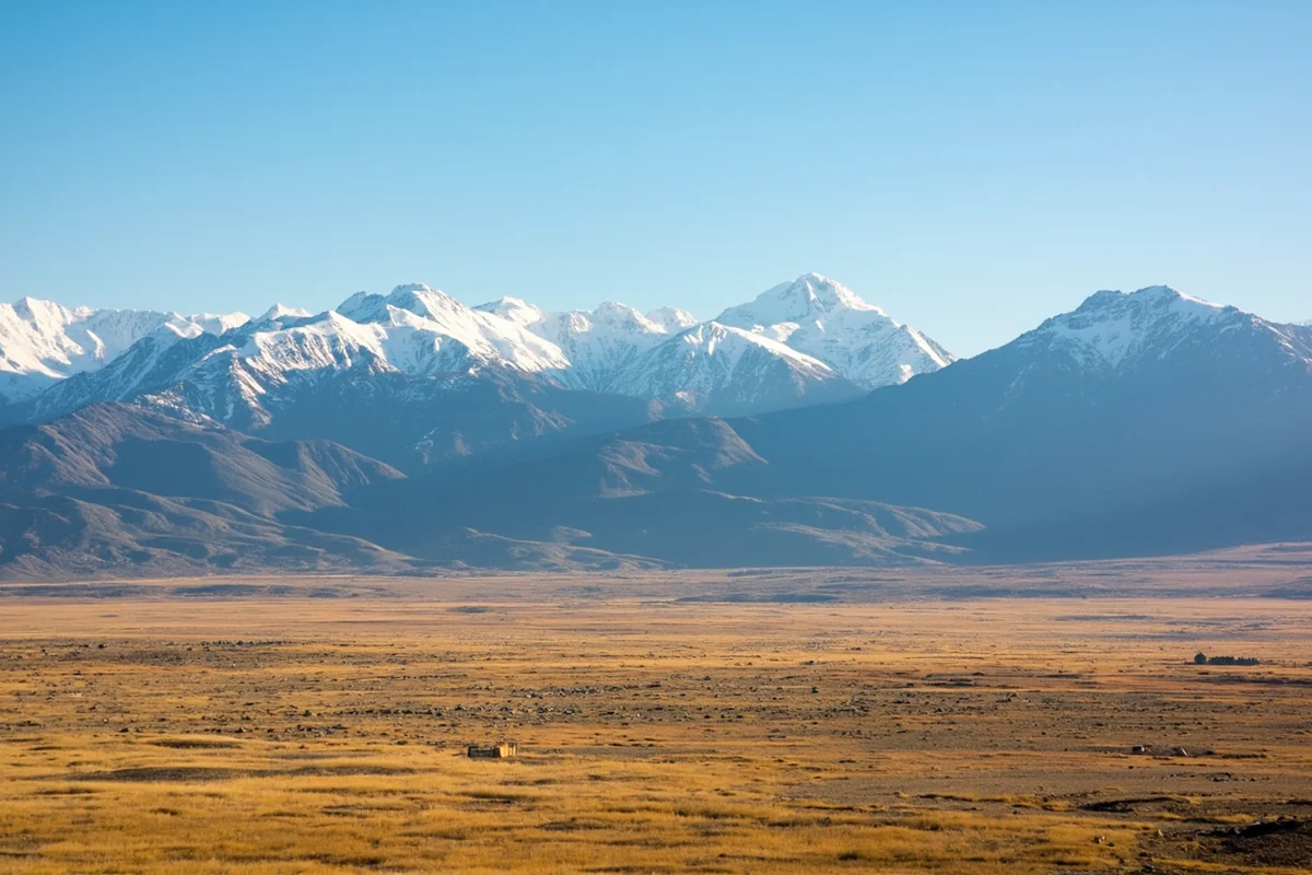
Standing at the summit of Going-to-the-Sun Road last August, I watched the sun paint the Rocky Mountain peaks in shades of amber and realized I could see for what felt like forever—yet I was looking at just a tiny fraction of Montana’s immense landscape.
The question “Is Montana the biggest state?” comes up constantly when I talk to fellow travelers, and the answer might surprise you while simultaneously making you appreciate Montana’s vast size even more.
- Montana is NOT the biggest state—it ranks 4th in total area at 147,040 square miles
- Alaska is #1 (over 4x Montana’s size), followed by Texas (#2) and California (#3)
- Montana IS the biggest state among the contiguous 48 states by landmass when you factor in water coverage
- Despite ranking 4th, Montana has fewer people than any state except Wyoming, making it feel utterly enormous
- The state’s size impacts everything from road trip planning to cell service availability
The Truth About Montana’s Size Ranking
Let me cut straight to the chase: Montana is the fourth-largest state in the United States by total area. Alaska dominates at number one, followed by Texas, then California, with Montana claiming the fourth spot.
But here’s where things get interesting. When I drove across Montana on Highway 2 during my first visit—a grueling 12-hour journey from the North Dakota border to the Idaho state line—I became convinced Montana had to be the biggest state. How could anything be larger than this?
The numbers tell a different story. Montana covers 147,040 square miles total, which breaks down to approximately 145,546 square miles of land and 1,494 square miles of water.
How Montana Compares to the Top 5 States
| Rank | State | Total Area (sq mi) | Comparison to Montana |
|---|---|---|---|
| 1 | Alaska | 665,384 | 4.5x larger |
| 2 | Texas | 268,596 | 1.8x larger |
| 3 | California | 163,695 | 1.1x larger |
| 4 | Montana | 147,040 | — |
| 5 | New Mexico | 121,590 | 0.83x Montana’s size |
When I share these statistics with people, they’re often shocked by how much bigger Alaska really is. During a conversation with a park ranger at Glacier National Park last summer, she put it perfectly: “Alaska is so massive that if you cut it in half, both pieces would still be larger than Texas.”
That certainly puts things in perspective.
Why Montana Feels Like the Biggest State
Here’s my honest take after spending considerable time exploring Big Sky Country: Montana *feels* more enormous than states that technically outrank it. There’s a psychological and practical element to Montana’s size that statistics alone can’t capture.
The Population Factor
Montana has roughly 1.1 million residents spread across those 147,040 square miles. That works out to about 7.5 people per square mile.
Compare that to California, which packs nearly 40 million people into its 163,695 square miles—roughly 254 people per square mile. Even Texas, at 268,596 square miles, has over 30 million residents.
When I drove from Bozeman to Malta last fall—about 350 miles across the state’s midsection—I passed through towns with populations smaller than my apartment building back home. The town of Harlowton, roughly halfway through my journey, has around 900 people.
The Infrastructure Reality
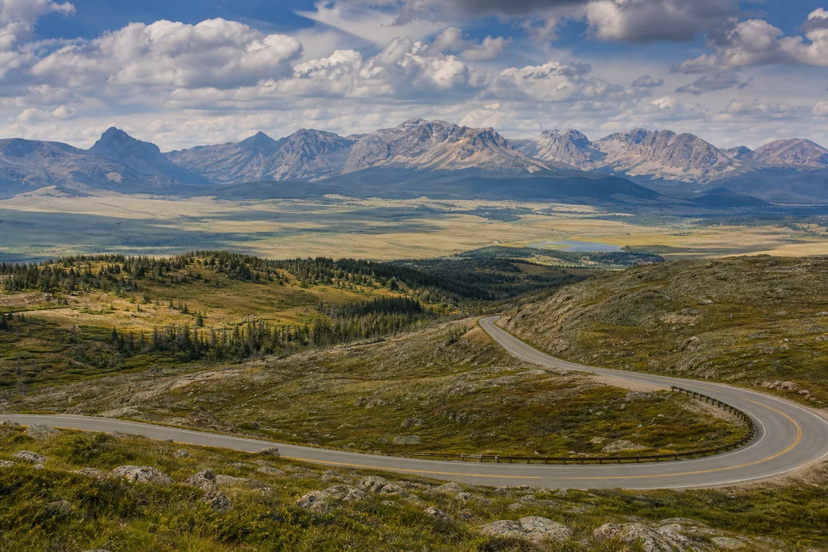
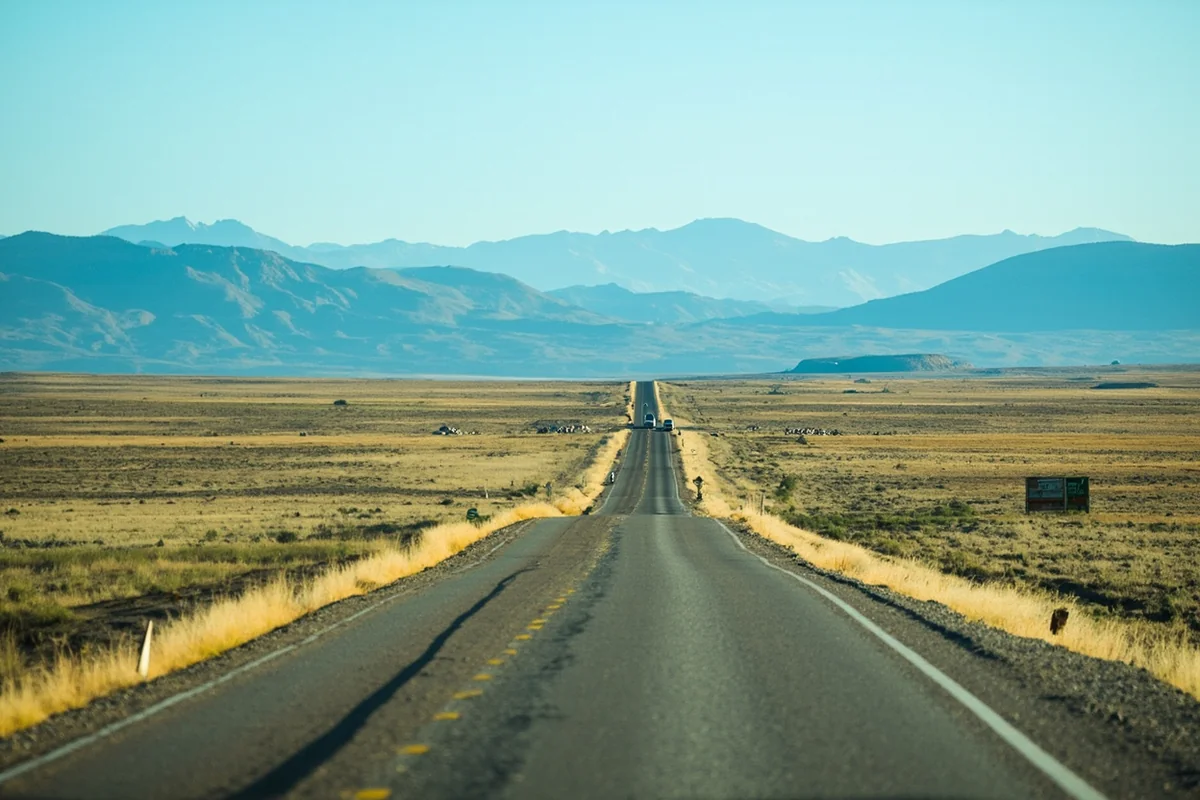
Montana’s road system reflects its sparse population. I’ve driven stretches of Highway 200 through central Montana where I didn’t see another car for 45 minutes.
There are only two interstate highways crossing the entire state: I-90 running east-west in the southern portion, and I-15 running north-south through the western half. That’s it for the nation’s fourth-largest state.
This minimal infrastructure makes Montana feel absolutely massive when you’re actually trying to get somewhere. You’ll understand how much land is in Montana once you’re three hours into a drive with two more hours to go.
The Landscape Diversity
Montana’s terrain changes dramatically as you cross the state, which amplifies the feeling of enormity. The physical features of Montana include everything from alpine peaks to prairie grasslands.
On my drive from Glacier National Park to Miles City last spring, I passed through glaciated valleys, dense evergreen forests, rolling wheat fields, and finally the badlands of eastern Montana. It felt like crossing through four different states.
Montana’s International Size Comparisons
One of the best ways to grasp Montana’s scale is to compare it with countries and regions you might be familiar with. These comparisons always spark interesting conversations when I’m traveling.
Montana vs. European Countries
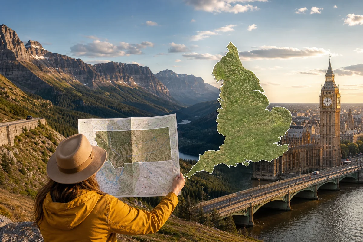
Montana is larger than the entire United Kingdom, which covers about 93,628 square miles. When I mention that Montana compared to England shows Big Sky Country being more than twice the size, people’s jaws drop.
If you’re curious about broader comparisons, exploring how Montana compares to European nations reveals just how substantial this single state really is. Montana exceeds the size of Germany (137,988 square miles) and is considerably larger than Italy (116,348 square miles).
Montana vs. Asian Countries
Montana is larger than Japan, which spans about 145,937 square miles. Consider that: a single US state with barely a million people is bigger than an island nation with 125 million people.
It’s also larger than the Philippines (115,831 square miles) and roughly comparable to Vietnam (127,881 square miles).
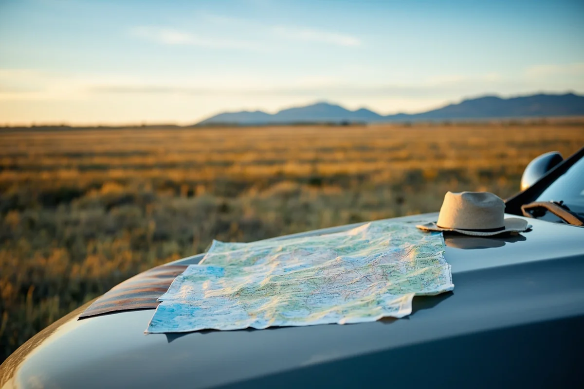
What Montana’s Size Means For Your Trip Planning
After years of exploring Montana, I’ve learned that underestimating travel times is the most common mistake visitors make. Here’s what you genuinely need to know.
Realistic Driving Times
Forget what Google Maps tells you. Those estimates assume perfect conditions, but Montana throws curveballs.
During my trip from Billings to Glacier National Park last June—about 340 miles—Google suggested 5 hours. My actual time? Seven hours. I stopped for wildlife crossings three times, got stuck behind a cattle drive near Big Timber, and hit construction outside Great Falls.
Here are realistic driving times I’ve personally experienced:
- Billings to Glacier National Park: 5-7 hours (340 miles)
- Bozeman to Missoula: 3.5-4 hours (200 miles via I-90)
- Great Falls to Helena: 1.5 hours (89 miles)
- Missoula to Glacier: 2.5-3.5 hours (150 miles, heavily traffic-dependent in summer)
- Billings to Miles City: 2.5 hours (146 miles)
- Border to border (east to west via Highway 2): 10-12 hours
Gas Station Planning
This is crucial, and I learned it the hard way. There’s a 100-mile stretch on Highway 200 between Jordan and Circle with no gas stations whatsoever.
My advice: never pass a gas station with less than half a tank in rural Montana. I once coasted into Culbertson on fumes after misjudging distances in the state’s northeastern corner.
Cell Service Realities
Montana’s size creates massive dead zones for cellular service. I lost signal for a three-hour stretch while driving through the Missouri Breaks area last summer.
Download offline maps before venturing into central and eastern Montana. Let someone know your itinerary. This isn’t paranoia—it’s practical planning for the nation’s fourth-largest state.
The “Biggest” Claims Montana Can Make
While Montana isn’t the biggest state overall, it does hold some legitimate size-related superlatives worth knowing about.
Largest Wilderness Areas
Montana contains the Bob Marshall Wilderness Complex, which spans over 1.5 million acres and represents one of the largest wilderness areas in the lower 48 states. When I backpacked into the Bob Marshall’s Chinese Wall formation two summers ago, I went four days without seeing another human.
The state also houses portions of the Absaroka-Beartooth Wilderness (944,000 acres) and the Selway-Bitterroot Wilderness (over 1.3 million acres shared with Idaho).
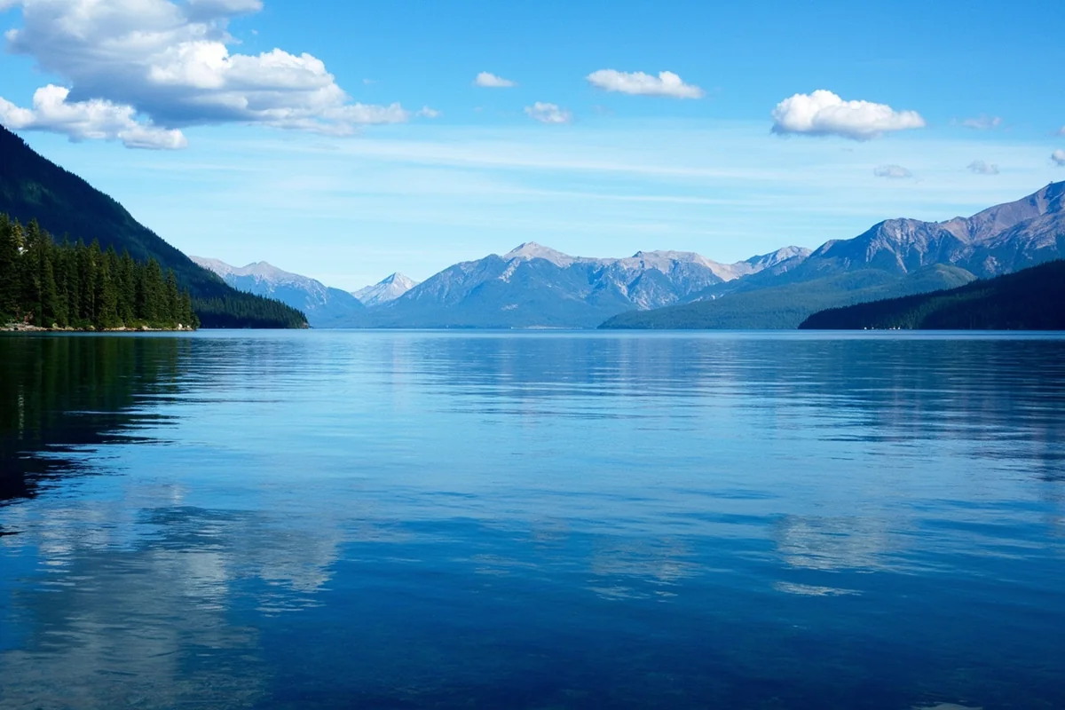
Largest Freshwater Lake West of the Mississippi
Flathead Lake covers approximately 191.5 square miles, making it the largest natural freshwater lake west of the Mississippi River in the contiguous United States.
I spent a week kayaking Flathead Lake last August, and even paddling several hours each day, I barely explored a fraction of its shoreline. The water is so clear in spots that you can see the bottom 30 feet down.
Largest Elk Herds
Montana hosts the largest wild elk population in the country, with estimates around 150,000 animals. During my visits to the Gallatin Valley in early autumn, I’ve watched herds of 200+ elk grazing in single meadows.
How Montana Got So Big: A Brief History
Understanding Montana’s size requires a quick historical detour. The territory’s boundaries weren’t always what they are today.
Montana Territory was established in 1864, carved primarily from Idaho Territory. The borders shifted several times before statehood in 1889.
Gold discoveries drove the territory’s early development, but the vast agricultural potential of the eastern plains ultimately shaped its final boundaries. Legislators wanted enough territory to support a viable state economy—and they certainly got it.
When Montana achieved statehood on November 8, 1889, it entered the Union as the fourth-largest state, a ranking it has maintained ever since.
Living With Montana’s Size: Perspectives From Locals
During my travels through Montana, I’ve had countless conversations with residents about how the state’s size affects daily life. Their perspectives offer insights no guidebook provides.
A rancher near Miles City told me he drives 80 miles round-trip just to get groceries. “That’s just normal out here,” he shrugged. “You learn to plan ahead.”
A teacher in Lewistown explained that some of her students ride school buses for 90 minutes each way because their family ranches are so remote.
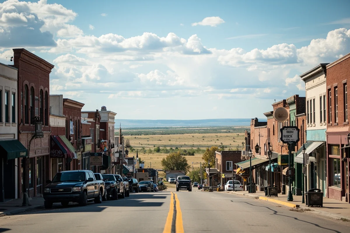
A bartender in Butte laughed when I asked about dating apps: “Your options might be two hours away. You better really like someone to drive that far.”
These conversations shifted my understanding of Montana’s size from an abstract statistic to a lived reality. The fourth-largest state doesn’t just cover a lot of ground on a map—it shapes every aspect of life for those who call it home.
Planning Your Montana Trip: Size-Specific Advice
Based on everything I’ve experienced exploring this enormous state, here’s my practical advice for trip planning.
Don’t Try to See Everything
First-time visitors often want to hit Glacier National Park, Yellowstone, and everything in between in a single week. Don’t do this.
I tried that approach during my first Montana trip and spent more time behind the wheel than actually experiencing anything. Now I pick one region per visit and explore it thoroughly.
Consider Regional Focus Areas
Montana naturally divides into distinct regions, each requiring several days minimum:
- Glacier Country (Northwest): Glacier National Park, Flathead Lake, Missoula, Whitefish. Allow 5-7 days minimum.
- Yellowstone Country (Southwest): Northern Yellowstone, Bozeman, Big Sky, Paradise Valley. Allow 4-6 days.
- Central Montana: Great Falls, Helena, Missouri River country, ghost towns. Allow 3-5 days.
- Eastern Montana: Makoshika State Park, Miles City, Fort Peck Lake, Hi-Line communities. Allow 4-5 days.
Build in Buffer Days
Montana’s size means weather delays, wildlife encounters, and unexpected road closures can derail tight schedules. I always build at least one extra day into any Montana itinerary.
Last September, a early snowstorm closed Going-to-the-Sun Road two days earlier than usual. Travelers with rigid schedules missed one of Glacier’s most iconic experiences.
Book Accommodations Strategically
In a state this large with this few hotels, accommodation options become scarce outside major towns. During peak summer season, I’ve seen every hotel room within 100 miles of Glacier National Park fully booked.
Reserve lodging well in advance, especially if you’re visiting between June and September. I typically book Montana summer accommodations 4-6 months ahead.
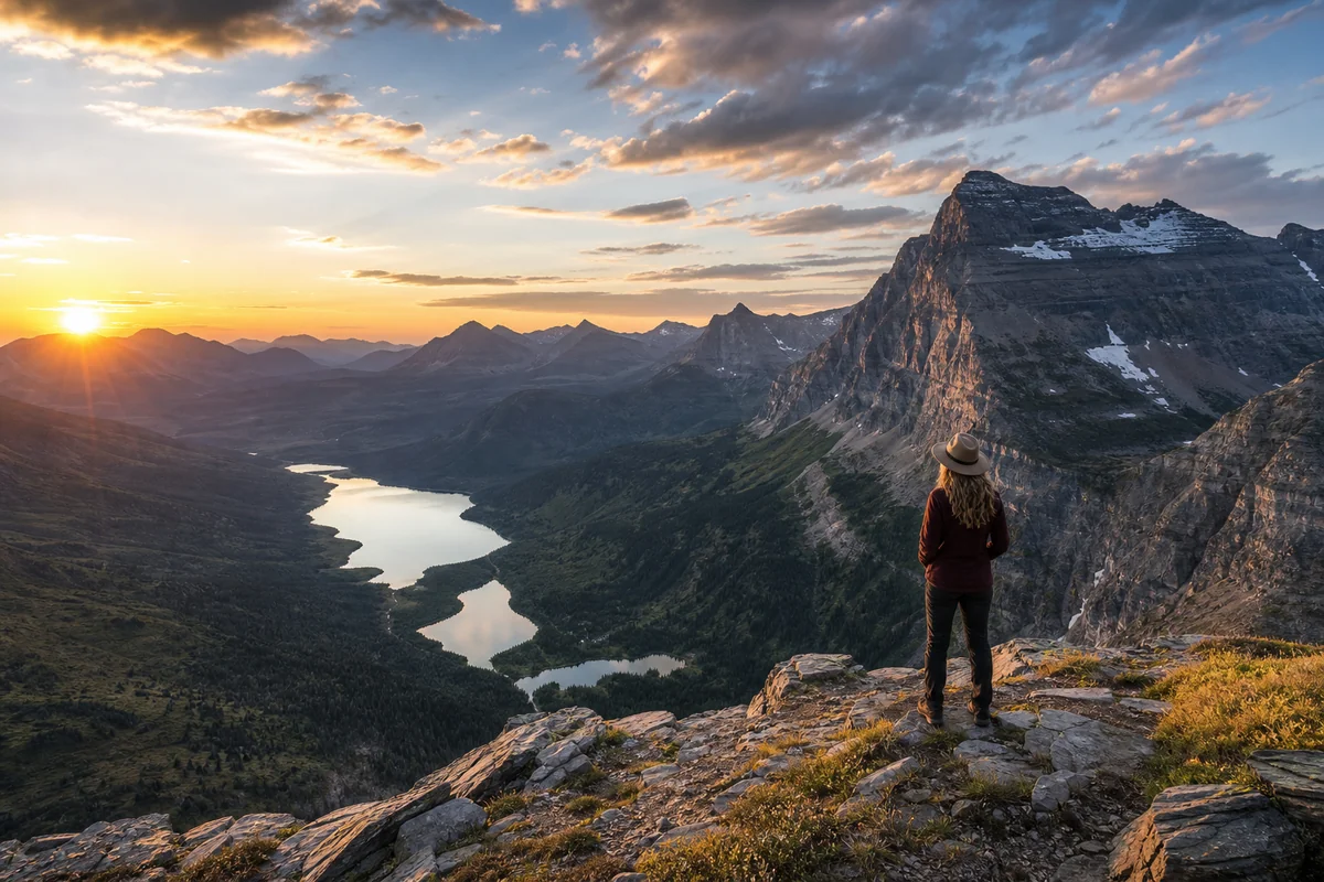
The Psychological Impact of Montana’s Vastness
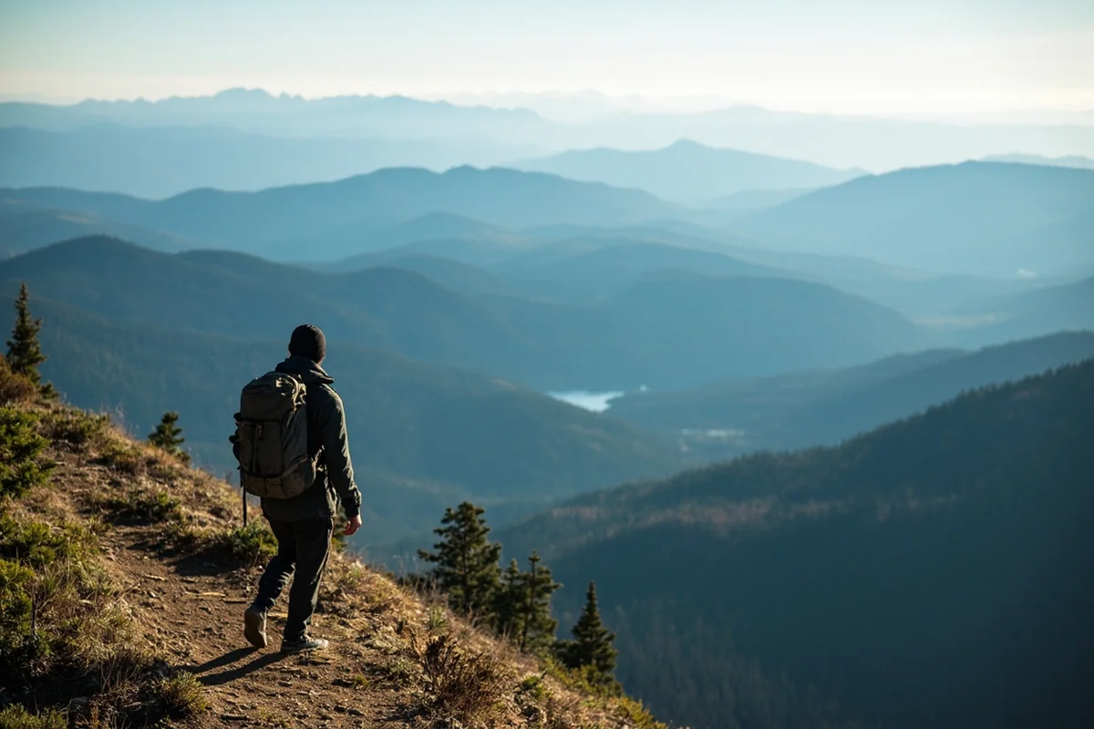
There’s something about Montana’s scale that affects visitors on a deeper level than mere inconvenience. I’ve felt it many times.
Standing alone on a ridgeline in the Beartooth Mountains, with nothing but wilderness in every direction, you feel genuinely small. Not in a diminishing way—in an awe-inspiring, perspective-shifting way.
Montana’s fourth-place ranking in state size becomes almost irrelevant when you’re experiencing that enormity firsthand. Whether it’s technically the biggest state doesn’t matter when the landscape stretches beyond comprehension.
A friend who visited me during a Montana trip said it best: “I’ve driven through Texas, and it’s big. But Texas still feels tamed somehow. Montana feels like it could swallow you whole.”
That untamed quality—that sense of genuine wilderness persisting in the modern age—stems directly from Montana’s combination of massive size and minimal population.
Seasonal Considerations for Montana’s Size
Montana’s size intersects with seasonal changes in ways that dramatically affect travel planning.
Winter Complications
From November through April, many of Montana’s higher-elevation roads close entirely. Going-to-the-Sun Road typically opens late June and closes mid-October.
Winter storms can strand travelers for days. I spent an unplanned night in Havre when a blizzard dropped two feet of snow and closed Highway 2 in both directions.
Summer Advantages
The long summer days—we’re talking 16+ hours of daylight in June—allow you to maximize Montana’s size more effectively. I’ve started hikes at 5 AM and returned at 9 PM with plenty of light remaining.
Shoulder Season Sweet Spots
September and early October offer my favorite Montana conditions. The crowds thin out, fall colors emerge, and most roads remain open. Wildlife becomes more active as animals prepare for winter.
The state’s size becomes more manageable during these shoulder seasons simply because you’re not competing with as many tourists for limited infrastructure.
Final Thoughts: Size in Context
So, is Montana the biggest state? No—it ranks fourth behind Alaska, Texas, and California.
But after spending years exploring this incredible state, I can tell you that rankings barely scratch the surface. Montana’s 147,040 square miles contain enough diversity, wilderness, and open space to feel utterly infinite.
The fourth-largest state in America offers first-place experiences: pristine wilderness, genuine solitude, and landscapes that humble everyone who encounters them.
Whether you’re planning your first Montana road trip or your fifteenth, never underestimate how much territory you’re dealing with. Pack extra snacks, download offline maps, and give yourself permission to slow down.
Montana earned its “Big Sky Country” nickname for good reason. The sky really does feel bigger here—because there’s just so much more of it to see.
Frequently Asked Questions
Is Montana the biggest state in the United States?
No, Montana is not the biggest state—that title belongs to Alaska, which is over four times larger. However, Montana ranks as the 4th largest state in the US, covering an impressive 147,040 square miles. To put Montana’s size in perspective, it’s larger than Germany and could fit the entire state of New York inside it nearly three times.
How long does it take to drive across Montana from east to west?
Driving across Montana on Interstate 90 from the North Dakota border to the Idaho border covers approximately 550 miles and takes about 8-9 hours of non-stop driving. I always recommend breaking this journey into two days so you can actually enjoy the dramatic landscape changes from rolling prairies to towering Rocky Mountain peaks. Factor in extra time for Bozeman, Missoula, and scenic detours like the Beartooth Highway.
What is the best time to visit Montana if I want to explore its vast landscapes?
The best time to visit Montana for exploring its expansive terrain is June through September when most roads, including Going-to-the-Sun Road in Glacier National Park, are fully open. July and August offer the warmest weather with average highs of 70-85°F, perfect for hiking Montana’s 27 million acres of public land. If you’re hoping to avoid crowds while still catching good weather, I’d suggest early June or mid-September.
How much does a road trip across Montana typically cost per day?
A Montana road trip typically costs between $150-$300 per day for two people, depending on your accommodation choices and activities. Budget travelers can find campsites for $20-$35 per night and motels starting around $80, while mid-range hotels run $120-$200 per night in popular areas like Whitefish or Bozeman. Gas stations can be 50+ miles apart in eastern Montana, so I recommend budgeting around $60-$80 daily for fuel if you’re covering significant distances.
What should I pack for traveling through Montana’s large and varied terrain?
Pack layers regardless of season because Montana’s vast size means you’ll experience dramatic temperature swings—sometimes 40°F differences between morning and afternoon. Essential items include a quality rain jacket, sturdy hiking boots, sunscreen, bear spray if hiking in backcountry areas, and a reliable cooler since services are sparse across much of the state. I never travel Montana without a physical road map or downloaded offline GPS maps, as cell service is unreliable across thousands of square miles.
Why does Montana feel bigger than other large US states when visiting?
Montana feels enormous because it has the lowest population density of any state except Alaska and Wyoming, with only about 7 people per square mile across its 147,040 square miles. Unlike Texas or California, Montana has no major metropolitan areas—its largest city, Billings, has just 120,000 residents. When you’re driving through Montana, you’ll regularly go 100+ miles between towns, which creates that iconic Big Sky Country feeling of endless open space.
Can I visit both Glacier and Yellowstone National Parks in one Montana trip?
Yes, but plan carefully because these parks are roughly 460 miles apart—about a 7-8 hour drive through Montana’s massive interior. I recommend at least 7-10 days to meaningfully experience both parks without feeling rushed, allowing 3-4 days at each location plus travel time. The drive between them through the Rocky Mountain Front is stunning, so consider overnight stops in Great Falls or Helena to break up the journey and explore more of Montana’s vast landscape.
Sources:
- https://cybercemetery.unt.edu/archive/statab/20110707015745/http://www.census.gov/compendia/statab/2011/tables/11s0355.pdf
- https://uk.usembassy.gov/states-of-the-union-states-of-the-u-s/#
- https://laborstats.alaska.gov/trends/jan91art1.pdf
- https://www.census.gov/library/stories/2021/04/2020-census-data-release.html
- https://www.alaska.gov/kids/learn/population.htm