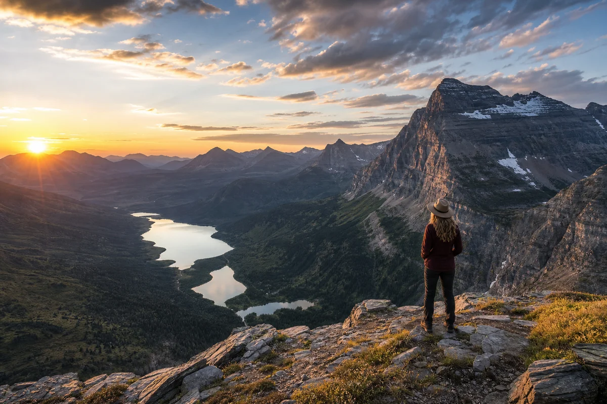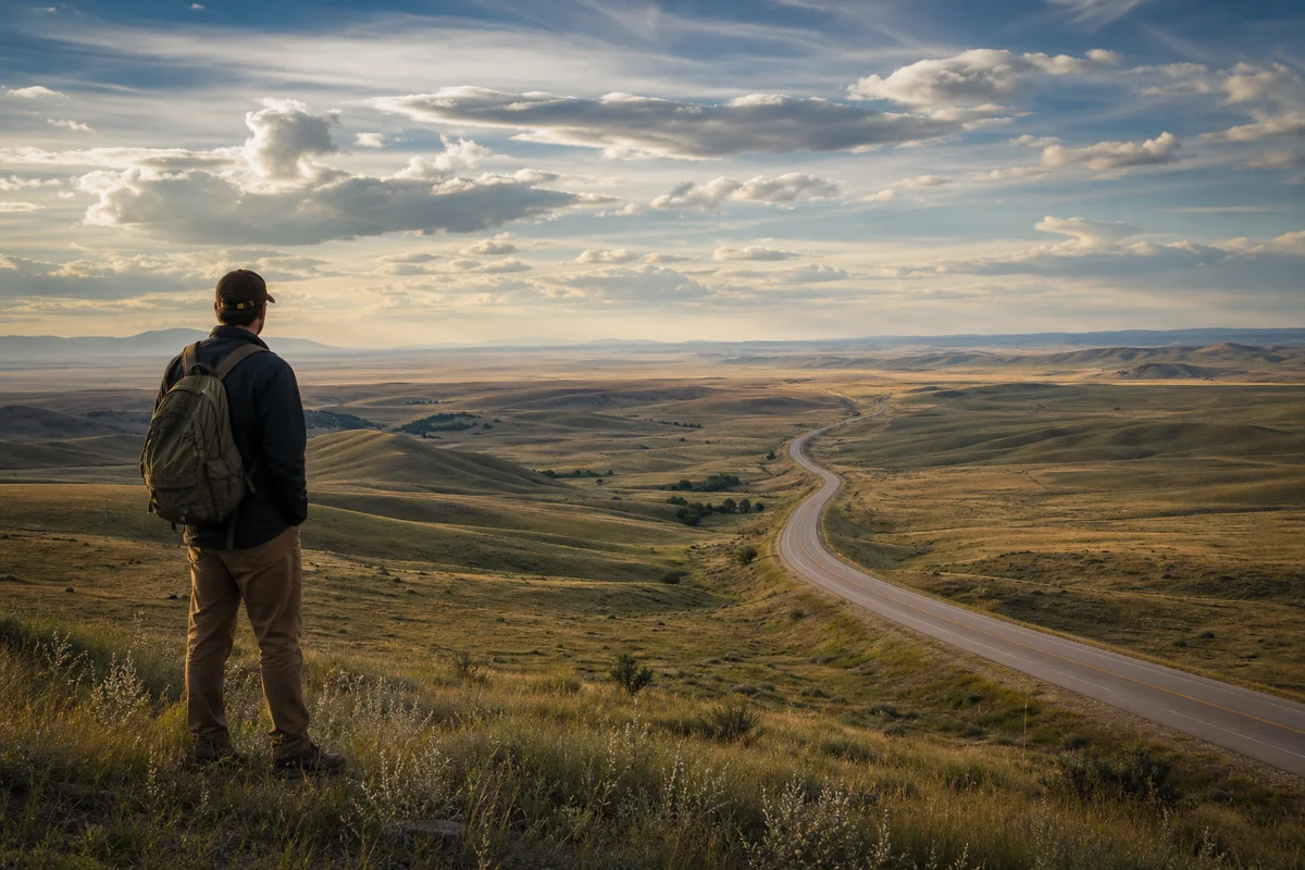
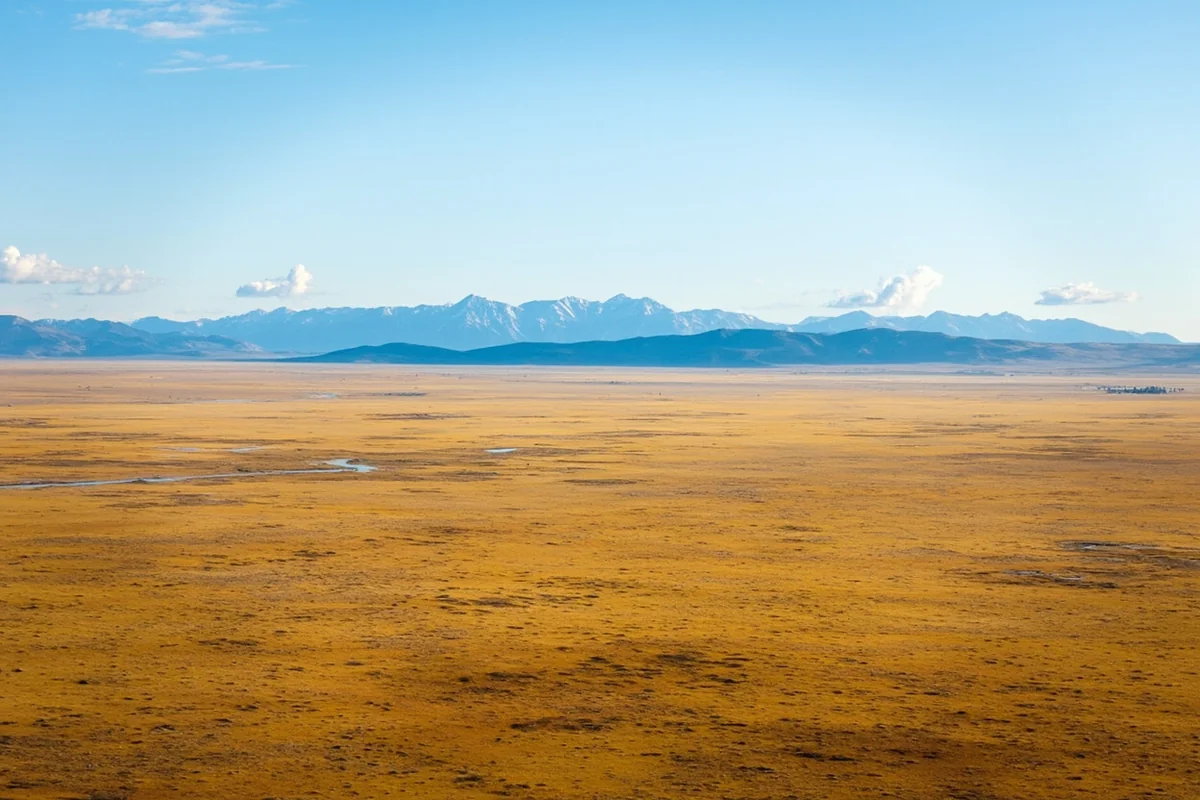
I’ll never forget standing at the North Dakota border near Wibaux, squinting westward into a seemingly endless expanse of rolling prairie, and realizing that Glacier National Park — my destination — was still a full day’s drive away.
That moment crystallized something no map had prepared me for: Montana isn’t just big, it’s a kind of big that fundamentally changes how you travel.
- Montana covers 147,040 square miles — the fourth largest state — with drive times that can exceed 10 hours border to border
- The state spans two time zones, two distinct geographic regions, and dramatically different climates
- Most visitors underestimate distances; plan for 300-400 miles between major attractions
- Population density is just 7.5 people per square mile, meaning services can be far apart
- A meaningful Montana trip requires either focused regional exploration or 2+ weeks of travel time
Liked this article?
Add Roaming Montana as a preferred source so you see more of our articles and guides on Google.
The Numbers Behind Big Sky Country
When locals call Montana “Big Sky Country,” they’re not exaggerating for tourism’s sake. At 147,040 square miles, Montana sprawls across an area that defies the mental maps most Americans carry.
During my first trip to Montana a decade ago, I made the classic rookie mistake. I scheduled Glacier National Park on Monday, Yellowstone on Tuesday, and a ranch stay near Billings on Wednesday. My GPS promptly informed me this plan required roughly 24 hours of driving in three days.
The state stretches 559 miles from east to west — roughly the same distance as driving from New York City to Raleigh, North Carolina. North to south, you’re looking at 321 miles, comparable to a trek from Dallas to Houston and back halfway.
How Montana Stacks Up Nationally
While Montana isn’t America’s largest state, it holds a respectable fourth place behind Alaska, Texas, and California. But here’s what makes Montana’s size feel more impactful: unlike those states, much of Montana remains genuinely remote.
California packs 39 million people into its borders. Texas has 30 million. Montana? Just 1.1 million residents scattered across that massive footprint.
| Comparison | Area (sq mi) | Population | People per sq mi |
|---|---|---|---|
| Montana | 147,040 | 1.1 million | 7.5 |
| Colorado | 104,094 | 5.8 million | 55.7 |
| Wyoming | 97,813 | 577,000 | 5.8 |
| Idaho | 83,569 | 1.9 million | 22.7 |
That 7.5 people per square mile figure becomes very real when you’re driving Highway 200 through central Montana and haven’t seen another vehicle in 45 minutes.
Understanding Montana’s Two Distinct Halves
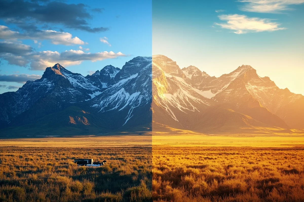
The Continental Divide doesn’t just split Montana’s watersheds — it cleaves the state into two fundamentally different travel experiences. Montana’s physical features range from glacier-carved peaks to prehistoric seabeds, and understanding this split is essential for planning.
Western Montana: The Mountain Kingdom
Last summer, I spent two weeks exploring western Montana, and I could have easily spent two months. This region contains the Montana most visitors picture: jagged peaks, pristine lakes, and forested valleys that smell of pine and possibility.
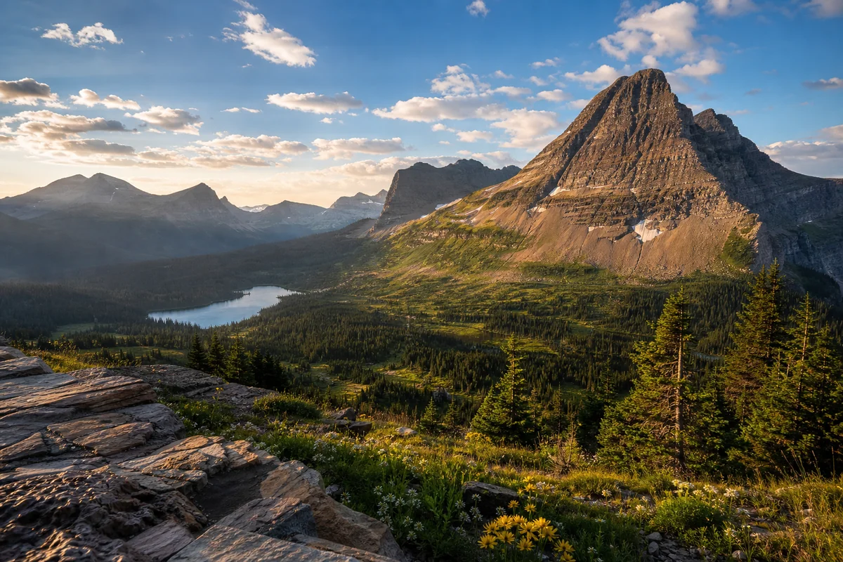
The Rockies dominate everything here. Glacier National Park anchors the northwest corner with over a million acres of wilderness. The Flathead Valley stretches south, connecting charming towns like Whitefish, Kalispell, and Bigfork along Flathead Lake — the largest natural freshwater lake west of the Mississippi.
Missoula serves as the de facto capital of western Montana culture. When I was there during a recent October, the university town buzzed with farmers market vendors, outdoor gear shops, and coffee roasters who take their craft seriously.
The Bitterroot Valley reaches south from Missoula, offering some of the state’s most accessible mountain scenery. During my visit, I hiked Blodgett Canyon and encountered exactly four other people in six hours — a solitude that feels increasingly rare in the American West.
Eastern Montana: The Forgotten Frontier
I’ll be honest: eastern Montana gets overlooked, sometimes even by Montanans. But dismissing this region means missing something profound about what makes this state unique.
The Great Plains roll eastward from the Rocky Mountain Front in waves of grass and sky that can feel almost oceanic. The sheer amount of land in Montana becomes viscerally apparent here, where you can drive for hours seeing nothing but wheat fields, cattle, and the occasional pronghorn antelope.
I drove Highway 2 across the Hi-Line last fall, tracing the route of the old Great Northern Railway. Towns like Malta, Glasgow, and Wolf Point appear like islands in a sea of prairie, each with their own character and cautious friendliness toward visitors.
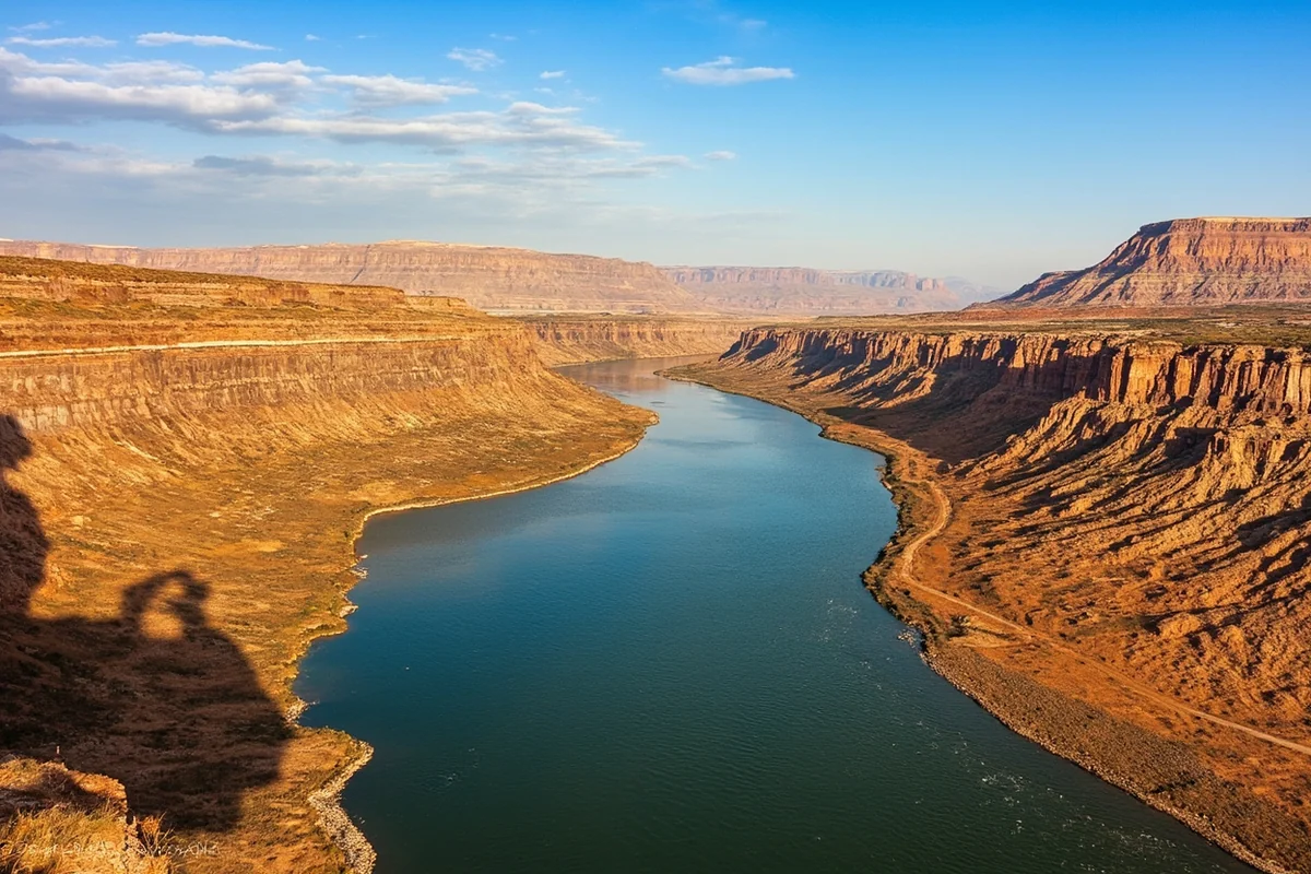
The Missouri Breaks — a labyrinth of badlands carved by the Missouri River — hide in north-central Montana like a secret the state keeps from casual tourists. When I kayaked a stretch near Fort Benton (the “Birthplace of Montana”), I floated through the same wild landscape Lewis and Clark described in 1805, virtually unchanged.
Real Drive Times That Will Change Your Plans
Here’s where I need to get practical, because this information will make or break your trip.
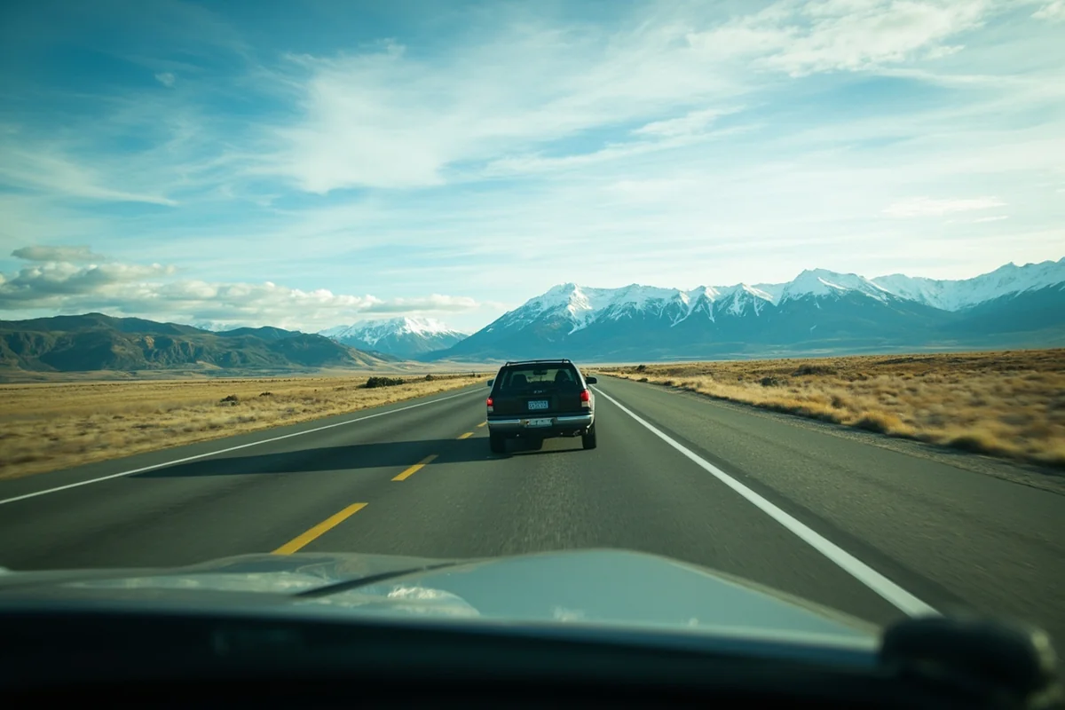
Montana operates on what I call “honest miles” — the distance shown on your map is rarely the full story. Two-lane highways, mountain passes, wildlife crossings, and construction zones add time that GPS algorithms consistently underestimate.
Major Route Drive Times (Realistic, Not Optimistic)
- Glacier National Park to Yellowstone (West Entrance): 350 miles, 6-7 hours minimum
- Missoula to Billings: 340 miles, 5-5.5 hours via I-90
- Bozeman to Great Falls: 165 miles, 2.5-3 hours
- Billings to Glacier National Park: 400 miles, 6.5-7.5 hours
- Helena to Miles City: 290 miles, 4.5-5 hours
- Whitefish to Sidney (east border): 550+ miles, 8-9 hours
I’ve driven most of these routes multiple times. The Bozeman-to-Great Falls run through the Canyon Ferry area is gorgeous but demands attention. The stretch from Billings to Glacier via Highway 89 north of Great Falls ranks among America’s most underrated scenic drives.
What Slows You Down
Wildlife doesn’t care about your schedule. I’ve been stopped by bison blocking roads near the Missouri Breaks, deer crossings that required sudden braking on Highway 93, and once, memorably, a stubborn cow that had escaped its pasture near Roundup.
Winter changes everything. Even in late September, mountain passes can see sudden snow. Going-to-the-Sun Road in Glacier typically closes by mid-October and doesn’t reopen until June or July. Beartooth Highway outside Yellowstone follows a similar schedule.
Construction season runs roughly May through October, with flaggers creating delays across the state. Montana DOT does an admirable job maintaining rural roads, but that maintenance has to happen sometime.
International Perspective: Montana’s Global Scale
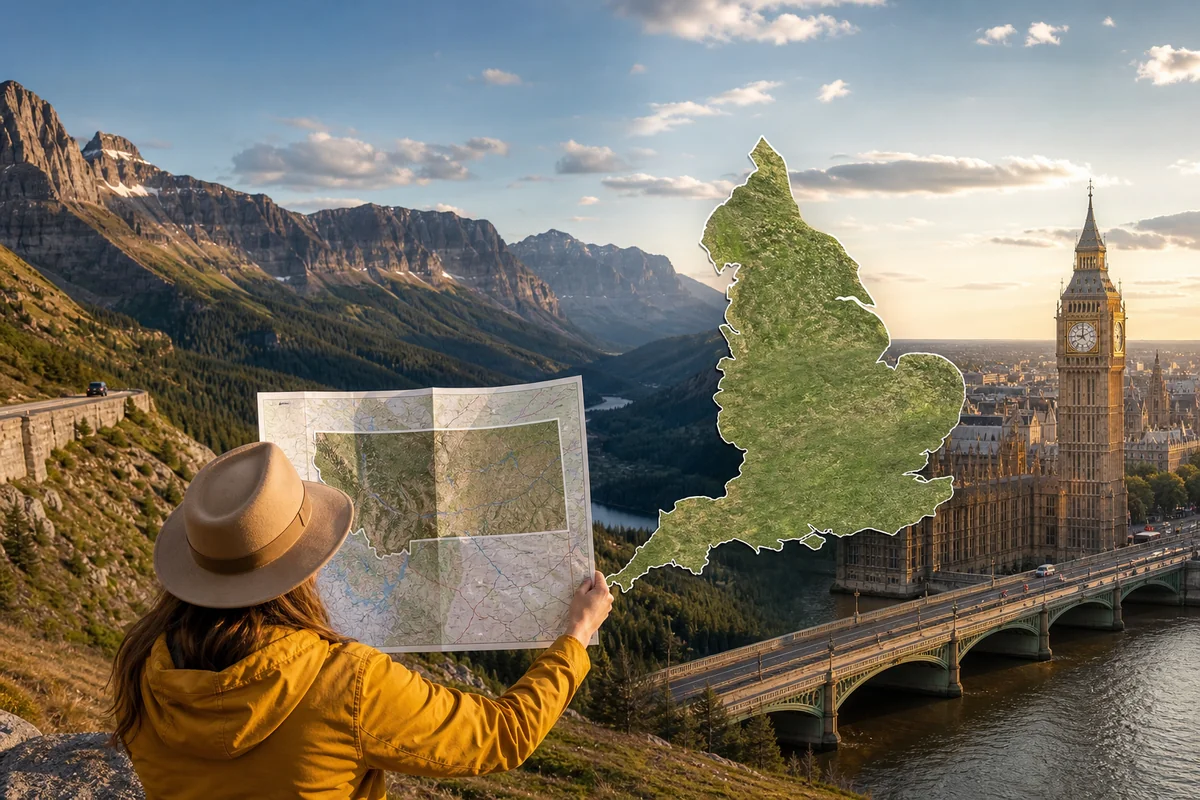
Sometimes understanding scale requires comparison. Montana compared to England reveals just how expansive this state really is — Montana is actually larger than England, which covers about 50,301 square miles.
Think about that: you could fit nearly three Englands inside Montana’s borders. All of London, Manchester, Liverpool, and every English village combined, tripled, and you’d still have room left over.
When measured against European countries, Montana outpaces Portugal, Austria, Ireland, and many others. The state rivals Germany’s land area, though Germany packs over 83 million people into similar square footage.
I find these comparisons useful because many international visitors (and plenty of Americans) drastically underestimate what “crossing Montana” actually involves. If you’re from Europe, imagine driving from Amsterdam to Paris, then continuing to Lyon. That’s roughly the east-west transit of Montana.
The Two Time Zones Problem
Montana is one of only a handful of states split between time zones, and this quirk catches travelers off guard constantly.
Most of the state operates on Mountain Time. However, a significant chunk of Glacier National Park’s west side, along with communities near the Idaho border, runs on Pacific Time. If you’re staying in Whitefish and driving into the western portion of Glacier, you might cross time zones without realizing it.
I learned this the hard way when I showed up an hour late for a guided boat tour on Bowman Lake. The outfitter graciously rescheduled, but my embarrassment lingered longer than the sunburn I got that day.
How to Actually Plan a Montana Trip Around the State’s Size
After dozens of Montana trips across fifteen years, I’ve developed a practical framework for helping people plan realistic itineraries.
Option 1: The Regional Deep Dive (Recommended for First-Timers)
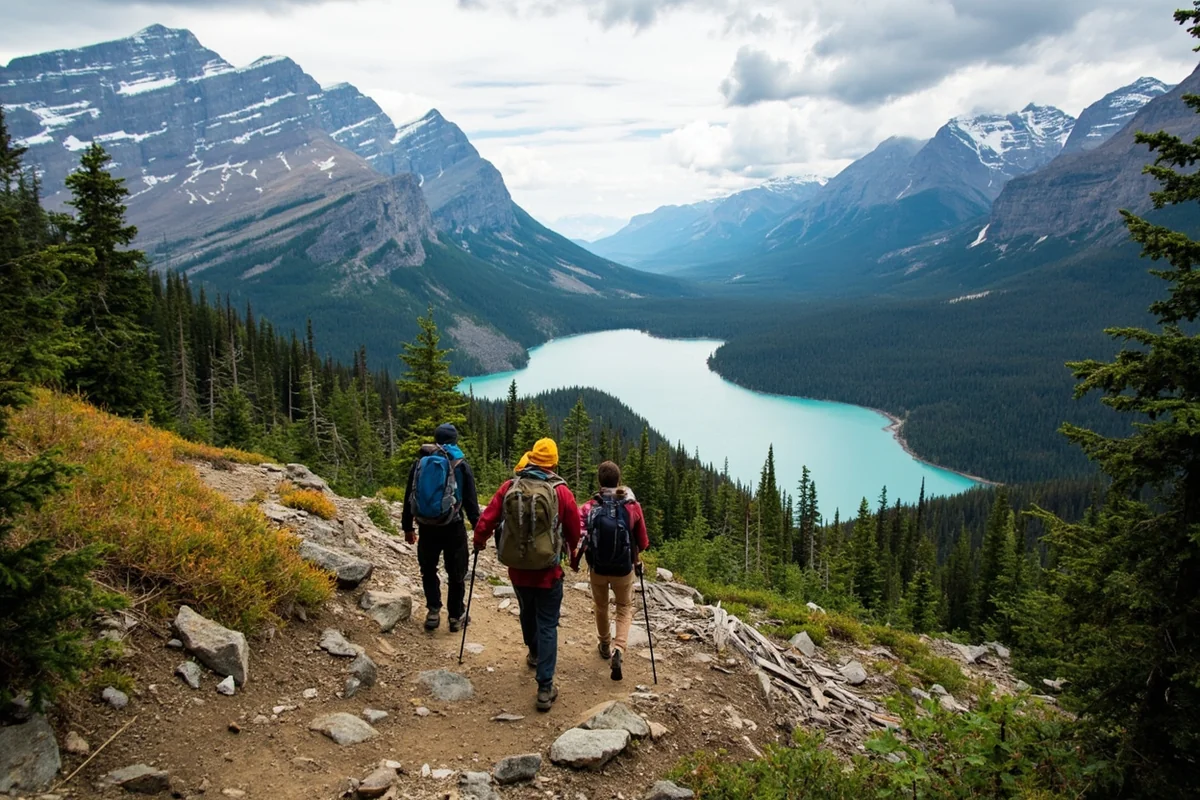
Pick one region and explore it thoroughly. Western Montana alone could fill two weeks without repetition.
A focused Glacier-area trip might include:
- 2-3 days in Glacier National Park proper
- 1-2 days exploring Whitefish and Flathead Lake
- A day trip to the National Bison Range
- A float trip on the Middle Fork of the Flathead River
Similarly, a Yellowstone-centric trip could anchor in Bozeman or Livingston and explore:
- 3-4 days in Yellowstone’s northern reaches (accessible from Montana)
- A day in Paradise Valley along the Yellowstone River
- 2 days in the Gallatin Canyon and Big Sky area
- A morning at the Museum of the Rockies in Bozeman
Option 2: The Highway Connector (For Those With Time)
If you have two weeks or more, you can connect major regions with overnight stops that become destinations themselves.
My favorite Montana loop covers about 1,200 miles and hits:
- Bozeman (2 nights)
- Great Falls (1 night — don’t skip the Lewis and Clark Interpretive Center)
- Glacier National Park area (3 nights)
- Missoula (2 nights)
- Philipsburg and the Pintler Scenic Route (1 night)
- Butte (1 night — the mining history is fascinating)
- Return to Bozeman
This route keeps daily drives manageable while showcasing western Montana’s diversity.
Option 3: The Off-the-Beaten-Path Eastern Expedition
For visitors returning to Montana or seeking something different, the eastern plains offer profound solitude and surprising attractions.
An eastern Montana itinerary might include:
- Makoshika State Park near Glendive (badlands and dinosaur fossils)
- Medicine Rocks State Park’s sandstone formations
- Fort Peck Dam and the Charles M. Russell National Wildlife Refuge
- The Hi-Line communities and their homesteading heritage
- Big Hole National Battlefield for sobering Nez Perce War history
I spent five days on a similar eastern route last spring and encountered more pronghorn than people. That ratio suited me perfectly.
Practical Implications of Montana’s Size
Gas Stations and Services
Here’s a rule I live by in Montana: never pass a gas station with less than half a tank if you’re heading into rural areas.
On Highway 200 between Great Falls and Lewistown, gas stops can be 60+ miles apart. In eastern Montana, that gap can stretch even further. Cell service becomes spotty to nonexistent across vast swaths of the state.
I carry a paper map (yes, really), extra water, and snacks on every Montana drive. During a trip through the Big Snowy Mountains two summers ago, I hit a patch of road with no cell service for three hours. My offline downloaded maps saved the day.
Lodging Realities
Montana’s size means lodging options concentrate in population centers, leaving gaps that require planning.
Between Great Falls and Glacier, your options narrow significantly. Between Bozeman and Billings, you’re looking at smaller towns like Big Timber or Livingston (both lovely, but limited).
During peak summer season, everything near Glacier and Yellowstone books months in advance. I’ve had luck with cancellation hunting 2-3 weeks before arrival, but banking on that strategy adds stress to any trip.
Eastern Montana offers more last-minute flexibility but fewer total options. Towns like Malta or Miles City might have three or four motels total, plus a scattering of ranch stays and vacation rentals.
Food and Dining
Montana’s culinary scene has evolved dramatically over the past decade, but restaurant density correlates directly with population.
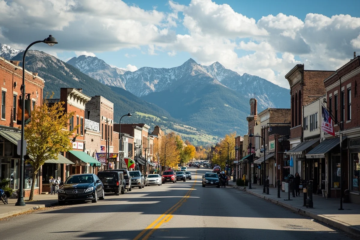
In Bozeman, Missoula, Whitefish, and Billings, you’ll find excellent dining ranging from farm-to-table restaurants to authentic international cuisine. Bozeman’s food scene particularly impressed me during a recent trip — the competition among restaurants has pushed quality higher.
In smaller towns, expect solid but straightforward American fare: steakhouses, diners, and the occasional Mexican restaurant. I’ve eaten many memorable meals in small Montana towns, but “memorable” sometimes meant “the only option open past 8 PM.”
Pack snacks and be flexible. I’ve made meals of gas station jerky and grocery store cheese more often than I’d like to admit.
Weather’s Geographic Reach
Montana’s size creates meteorological diversity that surprises visitors expecting uniform conditions.
I’ve experienced 80-degree sunshine in Billings while friends in Kalispell dealt with rain and 55 degrees — on the same July day. The Rocky Mountain barrier creates dramatically different weather patterns between eastern and western Montana.
Eastern Montana trends toward continental extremes: hot summers, brutally cold winters, and wind that never seems to quit. Western Montana moderates somewhat thanks to Pacific weather patterns sneaking through mountain passes.
The mountains themselves create microclimates. Glacier National Park can see snow any month of the year (yes, including July and August). Meanwhile, valley floors bake in summer sun.
For trip planning, check forecasts for your specific destinations, not just “Montana weather.” The state is simply too large for generalized forecasts to mean much.
Why Montana’s Size Matters for Your Trip
I’ve framed much of this article around logistics, but Montana’s vastness offers something beyond practical challenges: it provides an increasingly rare experience of genuine space.
In an era when most American destinations feel discovered, Instagrammed, and slightly overcrowded, Montana still offers room to breathe. The empty highways aren’t just empty — they’re an invitation to slow down and notice.
Last September, I pulled off Highway 89 somewhere between Choteau and Browning. No particular reason, just a turnout with a view. I sat on my tailgate for twenty minutes watching afternoon light paint the Rocky Mountain Front in shades of gold and shadow. No other cars passed.
That moment — unremarkable yet profound — captures what Montana’s size truly offers. The state is big enough to absorb visitors without feeling overrun, wild enough to surprise even repeat visitors, and empty enough to provide the solitude that modern life increasingly lacks.
Final Thoughts on Tackling the Treasure State
Montana will demand more of your time than you probably expect to give it. Embrace that reality early, and your trip transforms from a rushed checklist into something more meaningful.
Plan fewer destinations with more time at each. Build buffer days into your itinerary for weather delays, unexpected discoveries, or simply the luxury of lingering somewhere beautiful.
Accept that you won’t see everything. I’ve been visiting Montana for fifteen years, and I still haven’t explored Makoshika State Park, haven’t floated the Smith River, haven’t driven the Beartooth Highway in fall colors. The list of “someday” destinations grows longer each visit.
That’s not frustrating — it’s liberating. Montana’s size guarantees that something new will always wait for your next trip. The state is big enough to hold a lifetime of discoveries, and generous enough to share them with anyone willing to slow down and pay attention.
Start somewhere. Anywhere. The specific destination matters less than the commitment to explore at Montana’s pace rather than your own. Give this magnificent, massive state the time it deserves, and it will reward you with experiences you’ll carry long after the drive home ends.
Frequently Asked Questions
How big is Montana compared to other US states?
Montana is the fourth-largest state in the US, covering 147,040 square miles—that’s larger than Germany and nearly the size of Japan. To put it in perspective, you could fit Maine, New Hampshire, Vermont, Delaware, Rhode Island, and Connecticut inside Montana with room to spare. I always tell visitors to think of it as a small country rather than a typical state when planning their trip.
How long does it take to drive across Montana?
Driving across Montana from east to west on Interstate 90 covers roughly 550 miles and takes about 8-9 hours of nonstop driving. However, I’d recommend planning for at least 2-3 days to actually enjoy the journey, as rushing through means missing incredible stops like Billings, Bozeman, and Missoula. The vast distances between towns mean gas stations can be 50+ miles apart in rural areas, so always fill up when you can.
What’s the best way to plan a road trip through Montana’s vast landscape?
I recommend dividing Montana into regions—Glacier Country, Yellowstone Country, and Eastern Montana—and focusing on one or two areas rather than trying to see everything in one trip. Plan driving days of no more than 250-300 miles to avoid fatigue and allow time for spontaneous stops at scenic pullouts. Download offline maps before you go, as cell service is spotty or nonexistent across much of Montana’s rural highways.
How much does gas cost when traveling long distances in Montana?
Gas prices in Montana typically range from $3.00-$4.00 per gallon, and you should budget around $150-$250 for fuel if you’re doing a week-long road trip covering 1,000+ miles. I always carry a spare gas can in remote areas like Highway 200 or the Hi-Line, where stations can be 80 miles apart. Filling up in larger towns like Billings, Great Falls, or Missoula usually offers the best prices.
What should I pack for traveling across Montana’s remote areas?
Essential items include a roadside emergency kit, extra water (at least 2 gallons), non-perishable snacks, a paper map, and a car phone charger since distances between services can exceed 100 miles. I also pack layers year-round because Montana’s vast terrain means you can experience 30-degree temperature swings in a single day. A spare tire in good condition is non-negotiable—I’ve seen travelers stranded for hours waiting for help on remote highways.
When is the best time to visit Montana if I want to explore multiple regions?
Late June through mid-September offers the best conditions for covering Montana’s vast distances, with most roads open, longer daylight hours, and pleasant temperatures in the 70s-80s°F. I prefer early September when summer crowds thin out but Going-to-the-Sun Road in Glacier is still accessible. Avoid planning an ambitious multi-region trip in winter, as mountain passes close and blizzards can shut down highways for days.
Are there any tips for first-time visitors surprised by Montana’s size?
The biggest mistake I see is underestimating travel time—Google Maps doesn’t account for winding mountain roads, wildlife crossings, or the irresistible urge to pull over for photos every 20 minutes. Book accommodations in advance, especially in gateway towns like Whitefish or West Yellowstone, because options are limited and distances to alternatives can be 60+ miles. Embrace the vastness rather than fighting it; some of my best Montana memories happened during those long, scenic drives between destinations.
Sources:
- https://www.census.gov/quickfacts/fact/table/MT/PST045222
- https://www.nass.usda.gov/Statistics_by_State/Montana/Publications/Special_Interest_Reports/MT_2016_Ag_Facts_04192017.pdf
- https://www.umt.edu/center-rocky-mountain-west/region/
- https://www.census.gov/geographies/reference-files/2010/geo/state-area.html
- https://spot.colorado.edu/~beer/COUNTRIES/UNITED%20KINGDOM/index.html