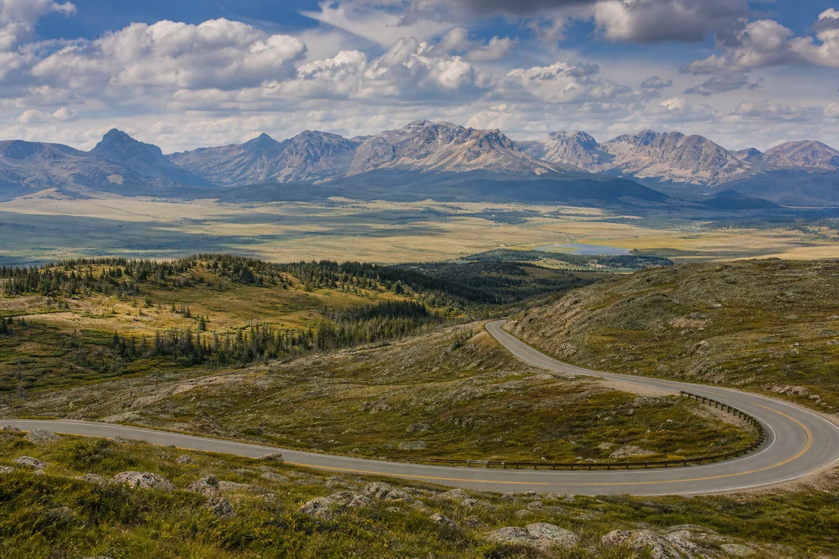
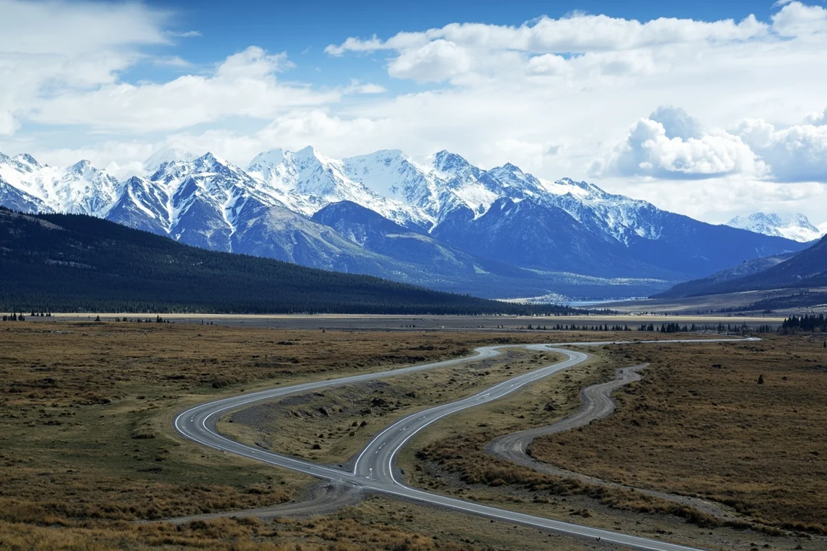
Standing at the edge of the Beartooth Highway last August, I watched the road snake through alpine tundra for what seemed like forever—and realized I’d barely scratched the surface of Montana’s landmass.
This state isn’t just big; it’s a sprawling wilderness that fundamentally changes how you plan, drive, and experience travel. Understanding Montana’s vast size isn’t just trivia—it’s essential knowledge that will shape every decision you make on your trip.
- Montana encompasses 147,040 square miles (380,800 square kilometers) of land
- It’s the 4th largest US state but has only about 1.1 million residents
- Driving across the state east-to-west takes 8+ hours on I-90
- Public lands make up roughly 30% of the state (federal and state combined)
- The state is larger than entire countries like Germany or Japan
- Plan for 2-3 hour minimum drives between major attractions
Liked this article?
Add Roaming Montana as a preferred source so you see more of our articles and guides on Google.
The Raw Numbers: Montana’s Land Area Explained
Montana covers exactly 147,040 square miles, making it the fourth-largest state in the United States. To put that in perspective, during my three-week road trip last summer, I drove over 2,800 miles and still missed entire regions I’d planned to explore.
The state stretches approximately 559 miles from east to west and 321 miles from north to south. When I planned my itinerary from Billings, I genuinely underestimated how long it would take to reach Glacier National Park—nearly seven hours of driving through landscapes that shifted from prairie to mountain like chapters in a geology textbook.
Breaking down the total area: 145,552 square miles is land, while 1,490 square miles consists of water. Those water acres include over 3,000 named lakes and 170,000 miles of streams and rivers. I spent three days fishing on the Yellowstone River near Livingston and barely covered a tiny fraction of the waterways available.
How Montana Compares to Other States
Many travelers ask whether Montana is the largest state, and while it’s impressively massive, it ranks fourth. Alaska dwarfs everything at 665,384 square miles, followed by Texas at 268,596 square miles and California at 163,695 square miles.
What makes Montana unique is the combination of its enormous size and sparse population. With roughly 1.1 million residents, the population density sits at about 7.5 people per square mile. Compare that to New Jersey’s 1,263 people per square mile, and you understand why Montana feels like an escape from civilization.
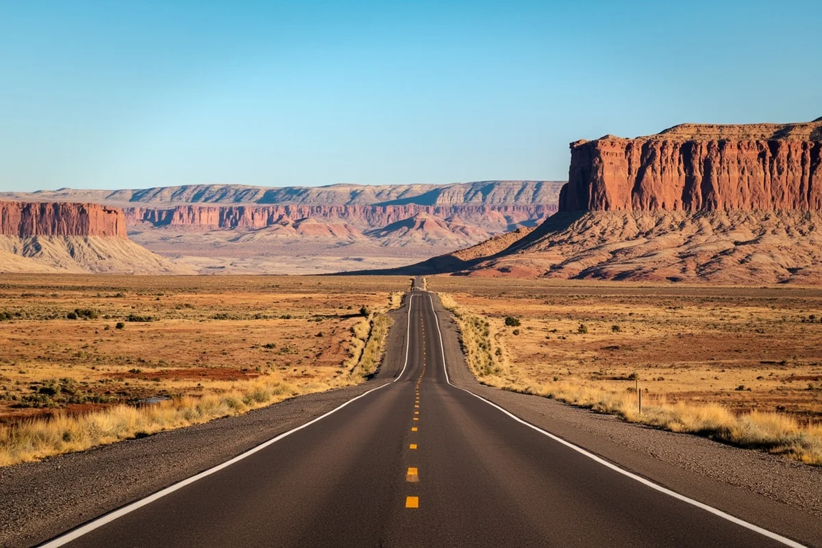
During my visit to the Charles M. Russell National Wildlife Refuge, I drove for 90 minutes without passing another vehicle. The solitude was both exhilarating and humbling—a reminder that much of Montana remains genuinely wild.
International Size Comparisons That Actually Help
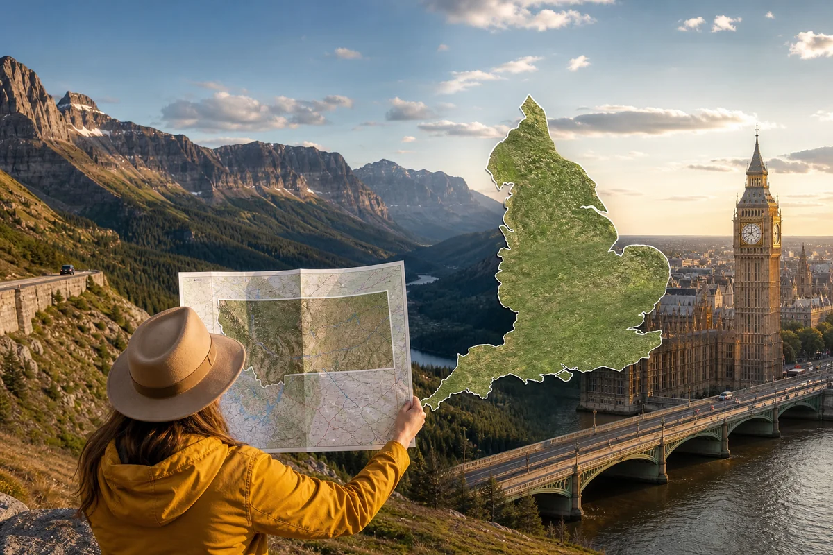
Numbers mean little without context. When I told my British friend I was driving across Montana, she asked how long that would take compared to driving across England. The answer surprised her: Montana is actually larger than the entire United Kingdom.
Montana versus England makes for a fascinating comparison—Montana could fit England (50,337 square miles) nearly three times over. The same trip that takes you from London to Edinburgh would barely get you from Missoula to Billings.
Comparing Montana to Europe offers even more perspective. Montana is larger than Germany (137,988 square miles) and substantially bigger than Japan (145,937 square miles). One American state contains more land than entire nations with populations in the tens of millions.
| Location | Square Miles | Compared to Montana |
|---|---|---|
| Montana | 147,040 | — |
| Germany | 137,988 | 93% of Montana |
| Japan | 145,937 | 99% of Montana |
| United Kingdom | 93,628 | 64% of Montana |
| England | 50,337 | 34% of Montana |
| New York State | 54,555 | 37% of Montana |
Public Lands: The Land You Can Actually Explore
Here’s what really matters for travelers: a massive portion of Montana’s land is publicly accessible. Approximately 30% of Montana consists of federal and state public lands, totaling over 44 million acres open for recreation.
The breakdown of public land ownership tells an important story:
- National Forests: 16.8 million acres across 10 national forests
- Bureau of Land Management (BLM): 8 million acres
- National Parks/Monuments: 1.3 million acres (including Glacier NP)
- State Trust Lands: 5.2 million acres
- National Wildlife Refuges: 1.1 million acres
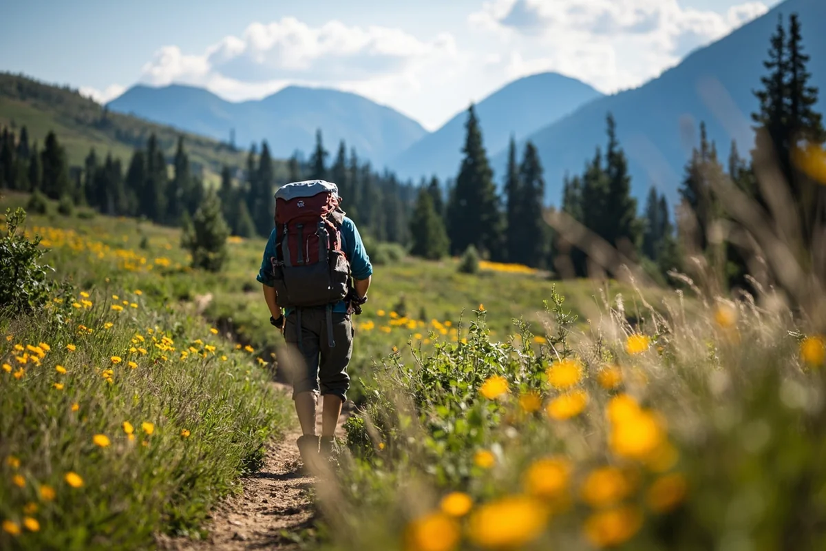
During my recent trip to the Helena-Lewis and Clark National Forest, I hiked for six hours without seeing another person. The trailhead had three cars in the parking lot on a Saturday morning in July. This simply doesn’t happen in most American wilderness areas.
Understanding Montana’s Physical Geography
Montana’s diverse physical features divide roughly into two distinct regions. The western third is dominated by the Rocky Mountains, while the eastern two-thirds consists of high plains and prairie grasslands.
The Continental Divide runs through western Montana, creating dramatically different ecosystems on either side. I experienced this firsthand when I camped near Marias Pass—rain fell steadily on the western slope while the eastern side remained dry and sunny just miles away.
Western Montana: Mountain Wilderness
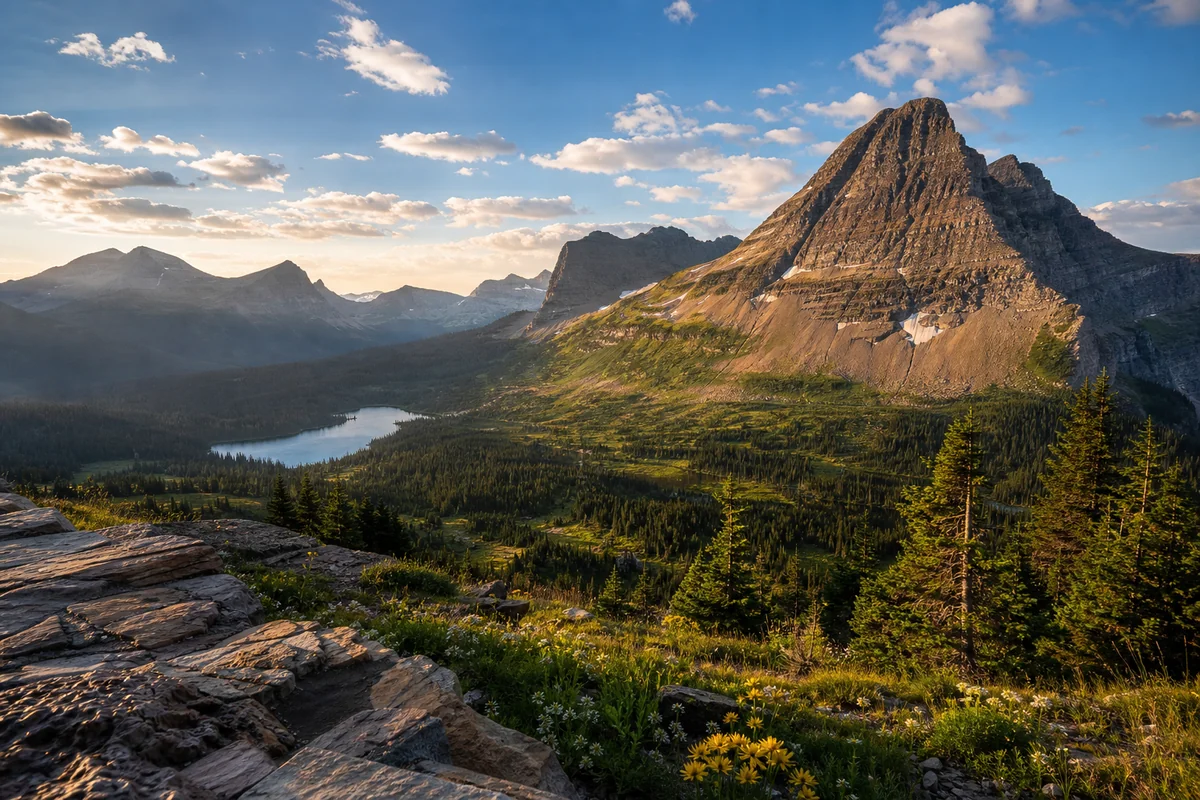
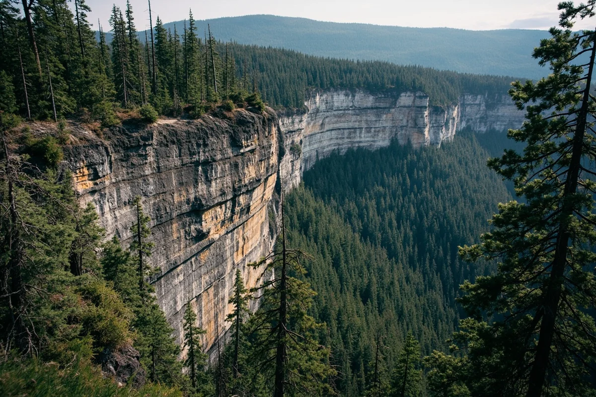
The mountainous west contains some of the most spectacular terrain in North America. Glacier National Park alone encompasses over 1 million acres, featuring 700+ miles of hiking trails through alpine ecosystems.
I spent four days backpacking in the Bob Marshall Wilderness Complex, which covers 1.5 million acres of roadless terrain. Rangers told me that some sections see fewer than 50 visitors per year. The combination of size and difficulty creates authentic wilderness experiences that have largely disappeared elsewhere in the lower 48 states.
The Bitterroot, Cabinet, and Absaroka ranges offer similar remoteness. When I drove through the Bitterroot Valley on Highway 93, I watched the jagged peaks stretch endlessly southward—a wall of granite separating Montana from Idaho.
Eastern Montana: The Forgotten Two-Thirds
Most visitors focus exclusively on western Montana and miss the vast prairie that defines the majority of the state. This region of rolling grasslands, river breaks, and badlands offers a completely different Montana experience.
The Hi-Line—Highway 2 running along Montana’s northern border—passes through some of the emptiest landscape in the continental United States. I drove from Havre to Wolf Point (about 200 miles) and counted the cars I passed: seventeen total.
Charles M. Russell National Wildlife Refuge sprawls across 1.1 million acres of Missouri River breaks. The landscape looks prehistoric—eroded coulees, hoodoos, and painted hills that could pass for Mars. I watched a herd of elk cross the road at sunset while ravens circled overhead.
Practical Implications of Montana’s Size for Travelers
Understanding Montana’s land area isn’t academic—it fundamentally shapes trip planning. Here’s what I learned from multiple extended visits.
Driving Distances Will Surprise You
The straight-line distance between popular destinations is deceiving. Montana roads follow river valleys, pass through mountain ranges, and rarely offer direct routes.
- Glacier National Park to Yellowstone National Park: 380 miles (6-7 hours)
- Missoula to Billings via I-90: 350 miles (5 hours)
- Bozeman to Glacier via Highway 93: 315 miles (5.5 hours)
- Great Falls to Miles City: 290 miles (4 hours)
I made the rookie mistake of trying to visit both Glacier and Yellowstone in a five-day trip. By day three, I’d spent more time in the car than on trails. Now I recommend choosing one region and exploring it thoroughly.
Gas Stations and Services Are Sparse
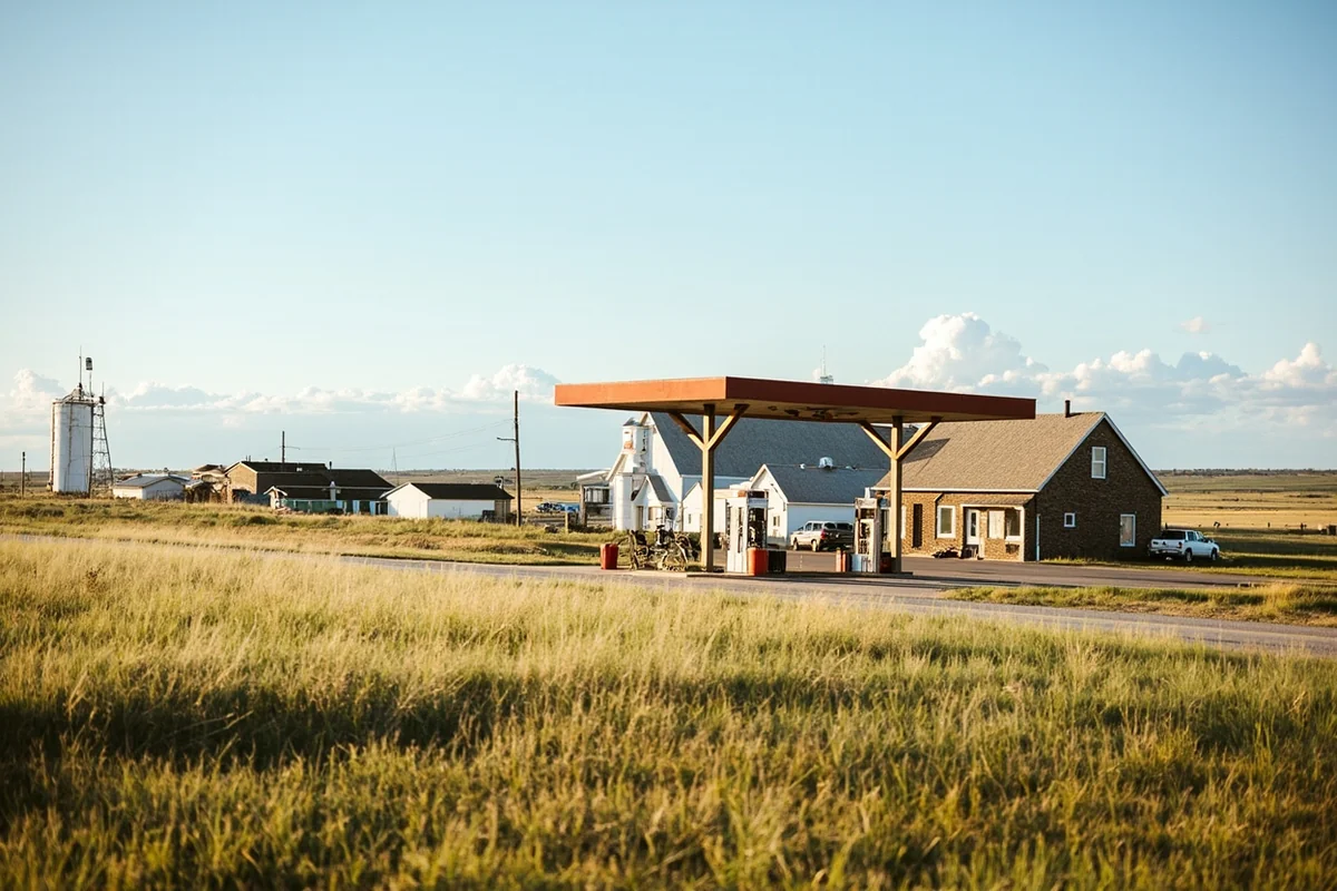
On Highway 200 between Lewistown and Jordan, I passed exactly one gas station in 115 miles. My rental car’s fuel gauge dropped to a quarter tank, and genuine anxiety set in.
Always fill up when you see a gas station in rural Montana. Cell service disappears for stretches of 50+ miles on many highways. I carry emergency supplies—water, snacks, warm clothes—even on summer day drives.
Weather Varies Dramatically Across the State
Montana’s size creates multiple climate zones. During my September visit, I experienced 85°F heat in Billings, snow flurries at Logan Pass, and 40°F nights camping near the Missouri River—all within 48 hours.
The Rocky Mountain Front sees some of the most extreme weather variations in North America. When I stayed in Choteau, locals warned me about chinook winds that can raise temperatures 50 degrees in a single day. Pack layers regardless of season.
Land Ownership and Access: What Travelers Need to Know
Montana’s checkerboard land ownership pattern creates confusion for visitors. Many areas show a patchwork of public and private land that can be nearly impossible to navigate without detailed maps.
Using OnX Maps Changed Everything
I resisted paying for a mapping app until a rancher (politely) informed me I was trespassing on private land while hunting for a fishing access point. The OnX Hunt app—about $30 annually—displays property boundaries and land ownership in real time.
State Trust Lands require a recreational use license ($8 for residents, $50 for non-residents) for activities like hiking, camping, and fishing. I’ve found incredible uncrowded camping on state lands outside Ennis and near the Crazy Mountains.
The Block Management Program
Montana’s Block Management Areas (BMAs) provide free public access to over 7 million acres of private land enrolled in the program. While primarily designed for hunters, many BMAs allow general recreation during certain seasons.
I discovered a stunning BMA property near the Smith River that offered miles of hiking through ponderosa pine forest with zero other visitors. The Montana Fish, Wildlife & Parks website lists all enrolled properties with access information.
Where Montana’s Land Goes: A Breakdown
Understanding land use helps contextualize what you’ll see while traveling:
- Farms and Ranches: Approximately 60 million acres (59% of total land)
- National Forests: 16.8 million acres
- BLM Lands: 8 million acres
- State Lands: 5.2 million acres
- National Parks/Wildlife Refuges: 2.4 million acres
- Tribal Lands: 8.1 million acres across seven reservations
- Other (urban areas, etc.): Remaining acreage
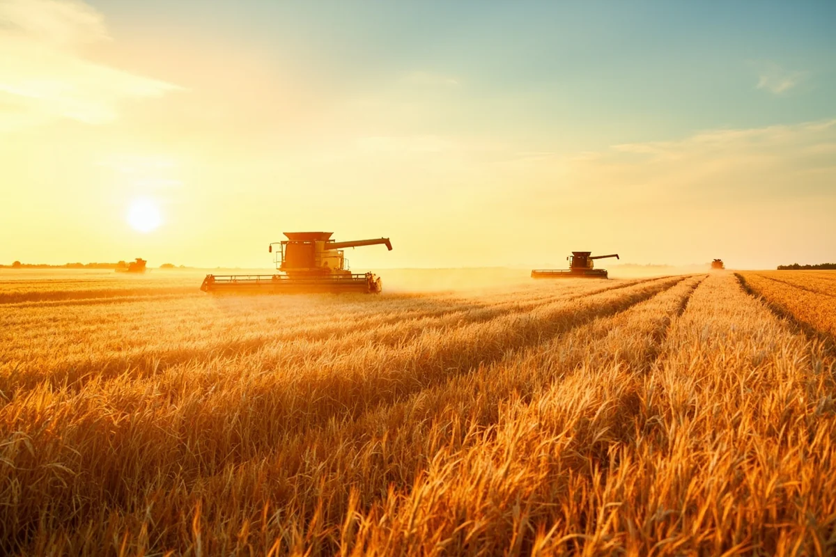
The agricultural dominance of Montana’s landscape surprised me initially. Driving through the Golden Triangle wheat region between Great Falls and Havre, I watched combines work fields that stretched to every horizon. The scale of farming here matches the scale of everything else.
Tribal Lands: Respect and Protocol
Montana’s seven Native American reservations—Blackfeet, Crow, Flathead, Fort Belknap, Fort Peck, Northern Cheyenne, and Rocky Boy’s—encompass over 8 million acres. These sovereign lands have their own regulations and access rules.
When I visited the Blackfeet Reservation adjacent to Glacier National Park, I purchased a tribal fishing permit and received detailed information about which areas were open to visitors. The tribal headquarters was welcoming and helpful.
Always research specific tribal regulations before visiting. Some areas are culturally significant and closed to non-tribal members. Other locations offer remarkable cultural tourism experiences, like the Blackfeet Cultural Center in Browning or the Northern Cheyenne’s Four Winds gift shop in Lame Deer.
Planning Your Trip Around Montana’s Size
After numerous trips totaling over 8,000 miles across Montana, I’ve developed practical strategies for managing the state’s scale.
Choose Regions, Not Attractions
Rather than listing must-see attractions statewide, focus on geographic regions. I break Montana into five practical travel zones:
Northwest Montana (Glacier Region): Glacier National Park, Flathead Lake, Whitefish, Kalispell. Allow minimum 4-5 days.
Southwest Montana (Rocky Mountain Front): Missoula, Bitterroot Valley, Philipsburg, Anaconda. Allow minimum 3-4 days.
South-Central Montana (Yellowstone Gateway): Bozeman, Big Sky, Paradise Valley, Livingston, northern Yellowstone. Allow minimum 4-5 days.
Central Montana (Missouri River Country): Great Falls, Helena, Fort Benton, Upper Missouri Breaks. Allow minimum 3-4 days.
Eastern Montana (High Plains): Billings, Miles City, Makoshika State Park, Charles M. Russell NWR. Allow minimum 3-4 days.
Build in Buffer Days
Weather delays, unexpected discoveries, and sheer driving fatigue will derail tight schedules. During my last trip, a wildfire closed a key highway near Lincoln, adding four hours to my route. Another time, I stumbled upon a bluegrass festival in Townsend and happily lost an entire day.
I now plan for 60% of the activity I think I can accomplish. Montana rewards spontaneity and punishes over-planning.
Consider a Hub-and-Spoke Strategy
Instead of constantly relocating lodging, I base myself in one town for 3-4 nights and take day trips. From Bozeman, I easily reached Big Sky (45 minutes), Livingston (25 minutes), and even Virginia City (90 minutes) without packing and unpacking daily.
This approach also supports local businesses and gives you backup plans when weather interferes.
Seasonal Considerations Across This Massive State
Montana’s size means different regions have dramatically different optimal travel seasons.
Summer (June-August)
Peak season everywhere, but the western mountains stay cooler while eastern plains can exceed 100°F. The Going-to-the-Sun Road in Glacier typically opens fully by early July. I prefer late June when crowds are lighter and wildflowers peak.
Fall (September-October)
My favorite time to visit. Larch trees turn gold in the northwestern forests while elk bugle in the southern mountains. The shoulder season means better lodging availability and smaller crowds. Late September along the Blackfoot River remains my most memorable Montana experience.
Winter (November-March)
The mountain regions receive significant snowfall, while the eastern plains see extreme cold but less snow. Many services in tourist towns operate reduced hours or close entirely. However, places like Big Sky and Whitefish offer world-class skiing with shorter lift lines than Colorado resorts.
Spring (April-May)
Often overlooked but rewarding for wildlife viewing. Bears emerge from hibernation, newborn animals appear, and rivers run high with snowmelt. Be prepared for mud, lingering snow at elevation, and variable weather. Many high-elevation roads and trails remain closed.
What I Wish I’d Known Before My First Montana Trip
After years of exploring this massive state, several lessons stand out.
First, Montana’s size demands humility. No single trip can comprehensively cover the state. I’ve accepted that Montana will remain a work in progress—a lifetime destination that reveals new layers with each visit.
Second, the emptiness is the point. Visitors from populated areas sometimes find the isolation unsettling. I’d encourage leaning into it. The solitude available in Montana has become increasingly rare in modern America.
Third, infrastructure limitations are features, not bugs. The sparse services, minimal cell coverage, and long distances between towns protect the very wildness that makes Montana special. Pack accordingly and adjust expectations.
Finally, talking to locals yields better information than any guidebook. The rancher who directed me to a hidden hot spring near Wise River, the bartender in White Sulphur Springs who recommended a secret fishing spot, the Forest Service ranger who shared a shortcut around road construction—these interactions shaped my best Montana memories.
Final Thoughts on Montana’s Vast Land
Those 147,040 square miles translate to something more significant than a number. They represent a different kind of travel—one where the journey between destinations holds as much value as the destinations themselves.
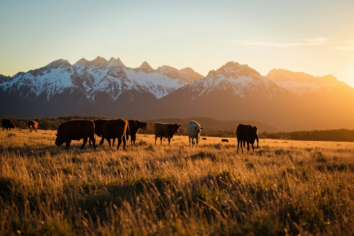
I’ve driven highways at sunset where the golden light stretched across prairie for forty unbroken miles. I’ve hiked into wilderness where the only sounds were wind and moving water. I’ve stood on mountain passes and counted the ridgelines receding into blue distance.
Montana’s land offers room to breathe in ways that have largely vanished from American life. The size creates inconvenience, requires adaptation, and demands patience. It also creates opportunity—for solitude, for discovery, for the kind of authentic wilderness experience that our grandparents might have recognized.
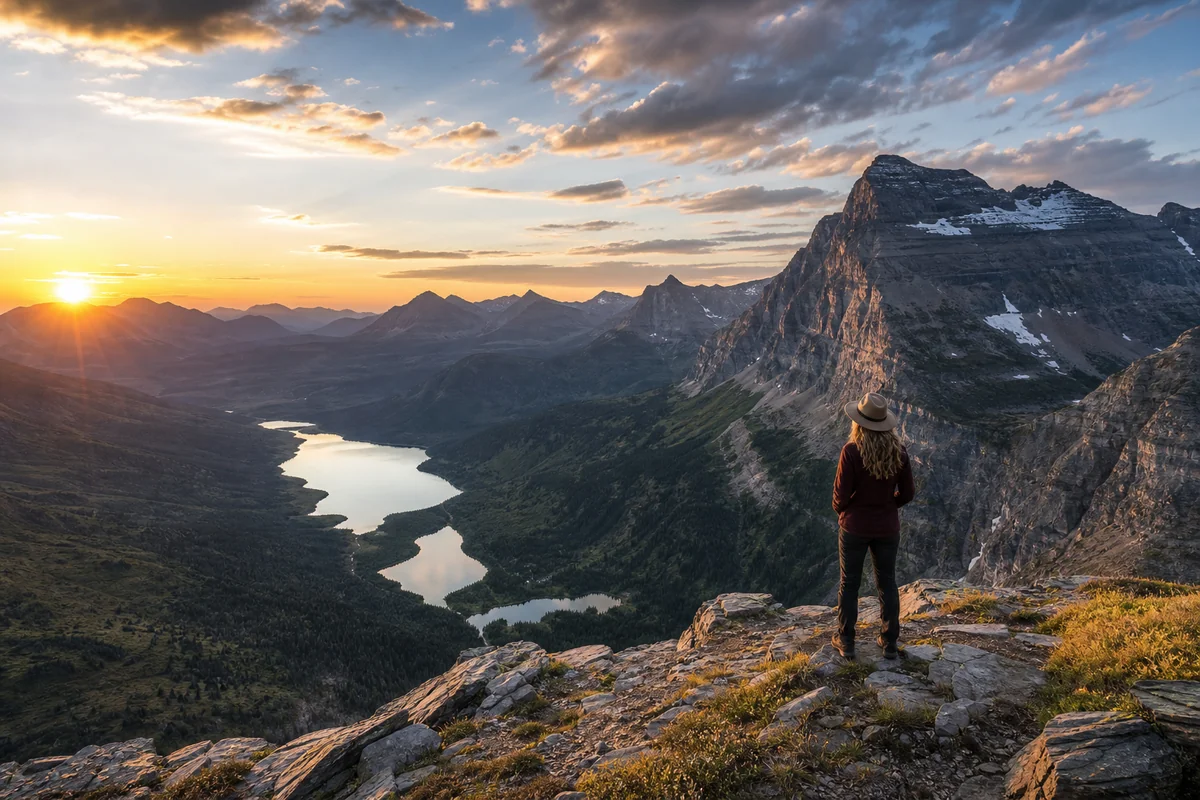
When you finally stand on a Montana ridgeline and watch the landscape unfold in every direction, the numbers make sense. This is what 147,040 square miles feels like: immense, humbling, and absolutely worth the effort to explore.
Frequently Asked Questions
How much land does Montana have in total square miles?
Montana spans an impressive 147,040 square miles, making it the fourth-largest state in the US. To put that in perspective for trip planning, you could fit the states of Maine, New Hampshire, Vermont, Massachusetts, Rhode Island, Connecticut, New York, and New Jersey all within Montana’s borders with room to spare.
How long does it take to drive across Montana from east to west?
Driving across Montana on I-90 from the North Dakota border to the Idaho border covers approximately 550 miles and takes around 8-9 hours of nonstop driving. I always recommend breaking this into a two-day trip so you can actually stop and enjoy the dramatic landscape changes from prairies to mountains without feeling rushed.
What percentage of Montana is public land open for visitors to explore?
Approximately 30% of Montana’s land is publicly owned, which translates to over 27 million acres of national forests, BLM land, state parks, and wilderness areas open for hiking, camping, and recreation. This abundance of public land means you’ll have endless opportunities for free or low-cost outdoor adventures without needing permits for most day-use activities.
How much does it cost to visit Montana’s largest national parks and public lands?
Glacier National Park charges $35 per vehicle for a 7-day pass, while Yellowstone (partially in Montana) costs $35 as well. If you’re planning an extended road trip exploring Montana’s vast lands, I highly recommend the $80 America the Beautiful annual pass, which covers entrance to all national parks and federal recreation areas.
What’s the best time of year to explore Montana’s vast wilderness areas?
Late June through mid-September offers the best access to Montana’s extensive backcountry, as high-elevation roads like Going-to-the-Sun Road typically don’t fully open until late June due to snow. I’ve found July and August ideal for exploring remote areas, though September brings fewer crowds and stunning fall colors across the mountains.
How far apart are Montana’s major tourist destinations from each other?
Montana’s massive size means significant distances between attractions—Glacier National Park to Yellowstone is about 340 miles (6 hours), while Missoula to Billings spans 350 miles across the state. Planning your itinerary around these distances is crucial, and I suggest budgeting at least 7-10 days to reasonably explore multiple regions without spending your entire vacation in the car.
What should I pack for a road trip across Montana’s diverse landscapes?
Given Montana’s 147,000 square miles of varied terrain, pack layers for temperature swings of 30-40 degrees between morning and afternoon, even in summer. I never travel Montana without a reliable paper map (cell service is spotty across vast stretches), a full tank of gas when possible since stations can be 80+ miles apart in eastern Montana, and bear spray if you’re exploring any backcountry areas.