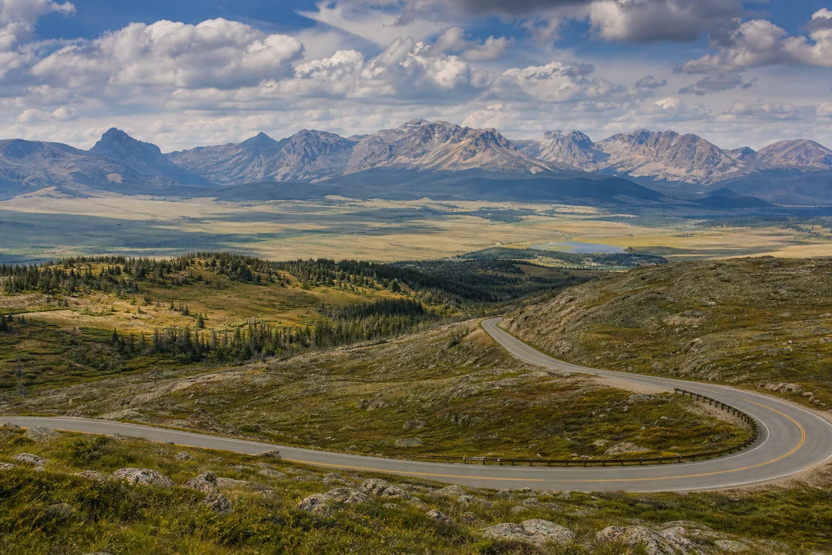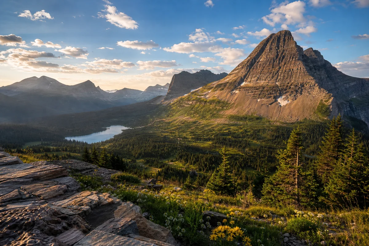
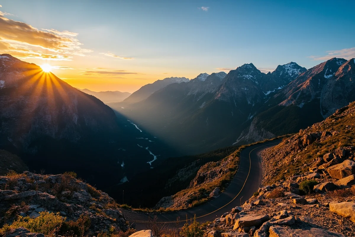
Standing at the edge of the Going-to-the-Sun Road last August, I watched the morning light creep across a landscape so massive it seemed to stretch into tomorrow.
That moment—when I truly grasped Montana’s vast size and the sheer diversity of its physical features—changed everything about how I plan road trips in Big Sky Country.
- Montana spans 147,040 square miles with terrain ranging from 1,800 feet to over 12,000 feet elevation
- The Continental Divide splits the state, creating dramatically different landscapes east and west
- Major physical regions include the Rocky Mountains, Great Plains, and glacially-carved valleys
- Expect to drive 5-8 hours to cross the state—plan accordingly
- Each region offers distinct experiences: alpine lakes, prairie grasslands, river canyons, and badlands
- Seasonal changes dramatically alter accessibility and appearance of physical features
Liked this article?
Add Roaming Montana as a preferred source so you see more of our articles and guides on Google.
Understanding Montana’s Scale: Why It Matters for Your Trip
I’ll be honest—I underestimated Montana on my first visit in 2019. I thought I could “see Montana” in a week. After three separate extended trips over the past five years, I’ve barely scratched the surface.
Montana ranks as the fourth-largest state in the US by land area. To put that in perspective, if you’re curious whether Montana is the largest state, it’s not—but it’s close, and that size translates directly to mind-boggling geographic diversity.
When I drove from Glacier National Park to Makoshika State Park near Glendive last summer, it took me nearly eight hours. I crossed through alpine tundra, dense coniferous forests, rolling foothills, and finally into badlands that looked like Mars.
That drive taught me something crucial: Montana isn’t one destination. It’s at least six or seven distinct landscapes stitched together by highways and history.
The Continental Divide: Montana’s Defining Feature
The Continental Divide runs through Montana for roughly 800 miles, and during my most recent September trip, I made it a point to cross it multiple times. Each crossing felt like entering a new country.
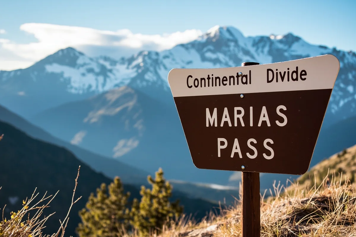
At Marias Pass near East Glacier, the divide sits at 5,213 feet—the lowest crossing of the Continental Divide in the US north of New Mexico. I stopped here at dawn one morning and watched clouds literally split as they hit the mountains, some drifting east toward the Missouri River drainage, others west toward the Pacific.
West of the Divide
The western third of Montana catches Pacific moisture, and you’ll notice immediately. When I drove into Missoula last October, the hillsides were carpeted in Western Red Cedar and Western Hemlock—trees you won’t find east of the divide.
This region receives 15-30 inches of precipitation annually, and the landscape reflects it. Everything feels greener, softer, more forgiving.
The valleys here are broad and flat-bottomed, carved by ancient glaciers. The Flathead Valley, Bitterroot Valley, and Missoula Valley all share this characteristic—steep mountain walls rising from fertile bottomland that now hosts farms, ranches, and the state’s most populous cities.
East of the Divide
Cross that invisible line, and Montana transforms. I remember my first drive east from Helena through the Smith River canyon—within 30 miles, the landscape opened up like someone had pulled back curtains.
Eastern Montana is high prairie, technically part of the Great Plains. Annual precipitation drops to 10-15 inches in most areas. The grass turns golden by July and stays that way until snow covers it.
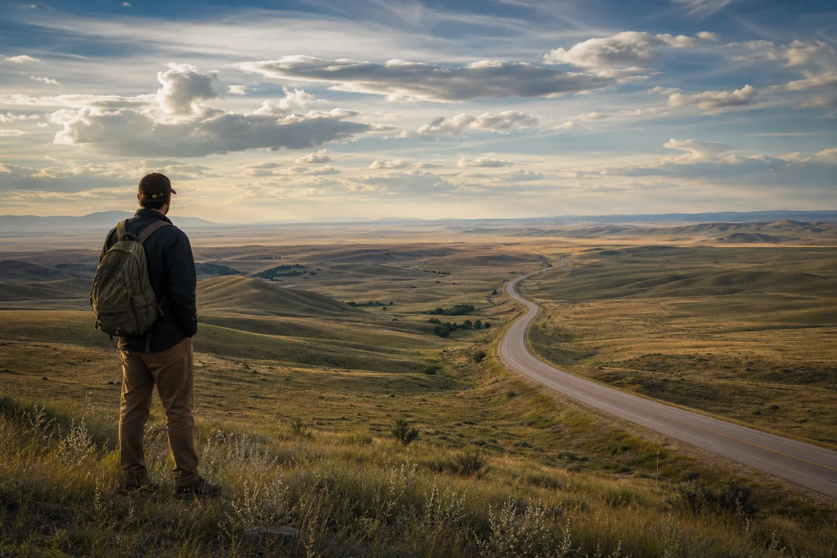
This isn’t empty land, though many travelers skip it. It’s just a different kind of full—full of sky, wind, pronghorn, and silence so complete you can hear your own heartbeat.
Mountain Ranges: More Than Just the Rockies
Montana contains over 100 named mountain ranges. That fact blew my mind when I first learned it, and I’ve spent considerable time since then trying to experience as many as possible.
The Northern Rockies
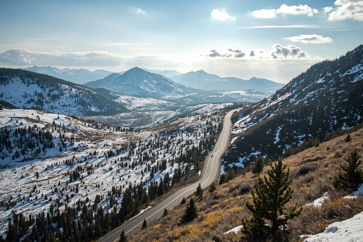
These are the mountains that dominate postcards and Instagram feeds. Glacier National Park anchors the northern section, and I’ve visited six times now across different seasons.
What makes these mountains distinctive is their geology. The Lewis Overthrust created a unique situation where ancient Precambrian rocks—some over 1.5 billion years old—sit atop much younger Cretaceous formations. At Chief Mountain, you can see billion-year-old rock resting on material that’s “only” 70 million years old.
The peaks here are dramatic: sharp, carved by glaciers, streaked with snow even in August. Granite Peak in the Beartooths reaches 12,807 feet—Montana’s highest point—and I watched alpenglow paint it pink during a backpacking trip two summers ago.
The Absaroka-Beartooth Wilderness
South of Livingston and Bozeman, these ranges feel different from Glacier country. The rock is volcanic in origin, darker, more crumbly in places.
I spent four days backpacking here last July, and the high alpine plateaus felt prehistoric. Above 10,000 feet, you’re essentially walking on tundra—tiny wildflowers, pikas chirping from rock piles, and views that stretch into Wyoming.
The Beartooth Highway (US 212) offers the easiest way to experience this landscape without a heavy pack. I’ve driven it three times, and each trip revealed something new—marmots sunning on boulders, mountain goats traversing impossible slopes, thunderstorms building over distant peaks.
Island Ranges
Montana’s central and eastern regions contain isolated mountain ranges that rise abruptly from surrounding prairie. These “island ranges” fascinated me long before I visited them.
The Crazy Mountains, northeast of Livingston, are particularly striking. They’re composed of igneous rock that punched through the plains about 50 million years ago. From the highway, they look almost too dramatic to be real—jagged spires rising from golden grassland.
I hiked to Crazy Peak’s base camp a few years back, and the experience felt surreal. One moment I was walking through sagebrush; hours later, I was scrambling over granite in terrain that could pass for the Alps.
The Big Snowy Mountains, Little Rockies, Judith Mountains, and Bears Paw Mountains offer similar contrasts, though they’re less visited and less developed. If you want genuine solitude with Montana’s physical features, these island ranges deliver.
Rivers and Watersheds: Montana’s Liquid Geography
Water shapes Montana’s physical features as much as mountains do, and understanding the major rivers helps you understand the landscape itself.
The Missouri River System
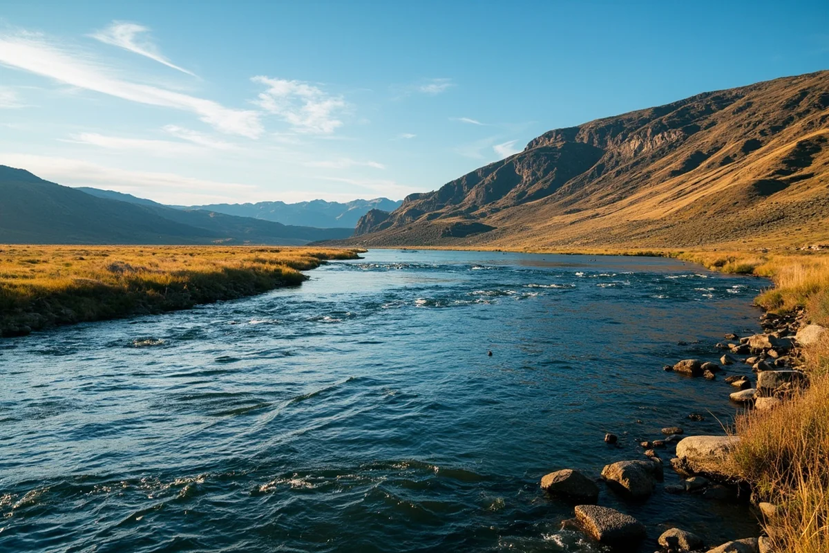
At Three Forks, I watched the Jefferson, Madison, and Gallatin rivers merge to form the Missouri. Lewis and Clark camped near this spot in 1805, and standing there felt like touching history.
The Missouri dominates central and eastern Montana, and its character changes dramatically along its course. Near Great Falls, the river drops through a series of now-dammed waterfalls that once presented major obstacles to early travelers.
Farther downstream, the Missouri Breaks offer some of Montana’s most unusual scenery. I floated 47 miles of the Wild and Scenic Missouri last May, and the white sandstone formations, called “white cliffs,” rising from the water’s edge made me feel like I’d entered another planet.
The Yellowstone River
The longest undammed river in the lower 48 states, the Yellowstone flows for 692 miles from its source in Wyoming through Montana to its confluence with the Missouri near the North Dakota border.
I’ve fished the Yellowstone near Livingston multiple times, and its character there—cold, clear, fast—reflects its mountain origins. By the time it reaches Miles City and beyond, it’s a different river entirely: slower, warmer, edged by cottonwoods instead of conifers.
The Yellowstone carves through Paradise Valley, and driving Highway 89 along its banks last summer, I understood why early settlers chose that name. The river, the mountains, the valley’s gentle curves—it’s almost unreasonably beautiful.
The Flathead and Clark Fork Systems
West of the divide, rivers flow toward the Pacific. The Flathead River drains most of northwest Montana, including Glacier National Park, and feeds Flathead Lake—the largest natural freshwater lake west of the Mississippi in the contiguous US.
I’ve kayaked sections of the Middle Fork Flathead, which runs along Glacier’s southern boundary, and the water clarity amazed me. You can see every rock, every cutthroat trout, through 20 feet of green-tinted glacial melt.
The Clark Fork, Montana’s largest river by volume, flows through Missoula and eventually reaches the Columbia River system. Its physical features reflect both natural processes and human history—the Berkeley Pit in Butte and its associated environmental challenges have shaped the upper Clark Fork for over a century.
Plains, Prairies, and Badlands: The Eastern Two-Thirds
Most visitors focus on western Montana’s mountains, but understanding how much land is in Montana reveals that roughly 60% of the state is prairie and high plains.
The Hi-Line
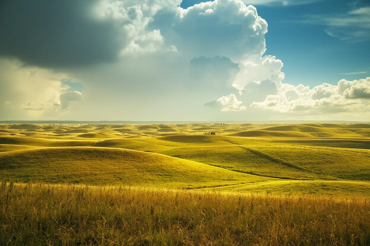
I drove US Highway 2 across Montana’s northern tier last spring, following the route that once brought settlers by train. The landscape here is subtle, and you have to slow down to appreciate it.
Short-grass prairie dominates, punctuated by seasonal wetlands called “prairie potholes.” These temporary pools provide crucial habitat for migratory waterfowl, and during my May drive, I saw more ducks than I could count.
The horizon feels impossibly distant on the Hi-Line. I stopped at Havre and spent an afternoon just sitting, watching clouds march across a sky that seemed to extend forever.
The Missouri Breaks
This region, centered on the Upper Missouri River National Monument, offers Montana’s most dramatic badlands. When I floated through here, I couldn’t believe I was still in Montana—the landscape looked more like southern Utah.
Centuries of erosion have carved sandstone and shale into fantastic shapes. Weathered spires, mushroom-shaped pedestals, and deeply incised coulees create a maze-like terrain that’s challenging to navigate on foot.
The breaks were outlaw country in the late 1800s, and I could see why. Even with GPS, I’d struggle to track someone through this landscape.
Makoshika State Park
Near Glendive, Montana’s largest state park protects badlands that rival anything in the Dakotas. I spent two days exploring here last August, and the physical features are remarkable.
These formations are older than the Missouri Breaks badlands—Paleocene and Late Cretaceous in age. Dinosaur fossils emerge regularly from the eroding slopes, and the park’s museum displays Triceratops skulls and T-rex teeth found within park boundaries.
The hiking trails here wind through terrain that looks genuinely alien. Steep pinnacles called “hoodoos” rise from wash bottoms, their capstones protecting softer material beneath.
Glacial Features: Evidence of the Ice Ages
Much of Montana’s dramatic topography results from glaciation, and understanding this history helps you interpret what you’re seeing.
Active and Recently-Active Glaciers
Glacier National Park still contains glaciers, though they’re shrinking rapidly. During my most recent September visit, rangers told me the park now contains about 25 named glaciers, down from 150 a century ago.
I hiked to Grinnell Glacier and was struck by how small it’s become compared to historical photos. The ice is beautiful—streaked with blue, groaning occasionally—but it’s also a sobering reminder of climate change’s visible impacts.
Glacially-Carved Valleys
Even where glaciers no longer exist, their handiwork dominates Montana’s mountain landscapes. U-shaped valleys with flat floors and steep walls characterize Glacier National Park, the Beartooths, and most of western Montana’s major ranges.
The Flathead Valley, where I’ve spent considerable time over the years, is essentially a massive glacial trough. The same forces that carved it also deposited the debris that created Flathead Lake’s natural dam.
Glacial Lakes
Montana contains hundreds of glacially-formed lakes, from tiny alpine tarns to substantial bodies of water. Flathead Lake covers 191 square miles; Seeley Lake, Swan Lake, and Whitefish Lake all occupy glacial basins.
These lakes share certain characteristics: cold, clear water; abrupt depth changes; and irregular shorelines where ice deposited debris. Swimming in Swan Lake last July, the water was bracing even in high summer—fed by snowmelt and shaded by surrounding mountains.
Climate Zones and Their Physical Expression
Montana spans multiple climate zones, and this diversity creates dramatic physical contrasts within short distances.
Alpine and Subalpine Zones
Above about 9,000 feet, Montana enters alpine territory. Trees disappear, replaced by tundra-like meadows, rock, and snow.
I’ve spent multiple trips exploring these high zones, and the physical features are distinctive: frost-patterned ground, rock glaciers (slow-moving piles of ice-cemented debris), and wind-sculpted krummholz—trees twisted into horizontal mats by relentless exposure.
The seasons compress at these elevations. During a mid-July hike in the Beartooths, I walked past blooming wildflowers, lingering snowfields, and frozen tarns within a single mile.
Semi-Arid Basins
Montana’s intermountain valleys—places like Butte, Helena, and Dillon—sit in rainshadows created by surrounding mountains. Annual precipitation in these basins often falls below 12 inches.
The physical landscape reflects this dryness: sagebrush dominates hillsides, cottonwoods line waterways, and irrigation dictates where green things grow.
I spent a week exploring the Big Hole Valley a few summers back, and the contrast between irrigated hayfields and surrounding brown slopes was stark. Understanding these basins helps you understand Montana’s agricultural patterns and settlement history.
Practical Implications for Travelers
All this geography directly affects trip planning. Here’s what I’ve learned through experience:
| Physical Region | Best Season | Key Considerations |
|---|---|---|
| Glacier National Park | July-September | Going-to-the-Sun Road typically opens mid-June to early July; crowds peak August |
| Beartooth Plateau | Late June-September | Beartooth Highway closes October-May; snow possible any month at high elevations |
| Eastern Plains | May-June, September-October | July-August can exceed 100°F; spring offers wildflowers and migrating birds |
| Missouri Breaks | May-June, September | River trips require advance permits; summer heat can be intense |
| Flathead Valley | June-October | Lake activities best July-August; ski season December-March |
| Southwest Montana (Butte, Dillon) | May-October | High elevation means cool nights even in summer; hot springs provide year-round attraction |
Elevation Changes
Montana’s lowest point sits at 1,804 feet near the North Dakota border; its highest exceeds 12,800 feet. That 11,000-foot difference means dramatic temperature and weather variations.
I learned this the hard way on a July trip when I packed only for summer weather. At 10,000 feet in the Beartooths, morning temperatures dropped into the 30s, and afternoon thunderstorms brought graupel—soft hail that stung exposed skin.
Always pack layers, regardless of season. I now carry rain gear, a warm fleece, and a hat even on day hikes.
Driving Distances
Montana’s physical size means significant driving. For context, comparing Montana versus England reveals that Montana is larger than all of England—with far fewer roads and services.
When I plan Montana trips now, I budget driving days as separate from activity days. Trying to combine long drives with hiking or sightseeing leads to exhaustion and frustration.
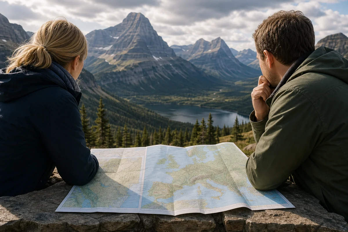
Similarly, when looking at Montana versus Europe, the scale becomes even clearer—you can’t treat Montana like a compact European destination where everything is an hour apart.
Services and Infrastructure
Montana’s physical features include vast stretches with minimal services. Eastern Montana, in particular, requires planning around fuel stops, lodging availability, and cell service gaps.
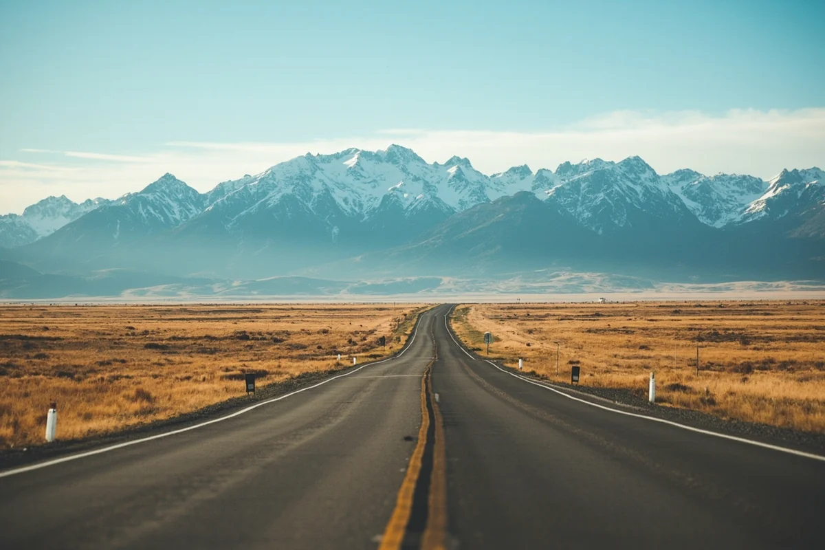
During my Hi-Line drive, I went over 100 miles without seeing a gas station. Fill up whenever you can, carry water and snacks, and don’t rely on GPS or cell service in remote areas.
Hidden Gems: Physical Features Off the Beaten Path
After multiple trips, I’ve developed favorites that most visitors miss:
The Pryor Mountains
South of Billings, this range contains ice caves, wild horse herds, and views into the Bighorn Canyon. I spent a long weekend exploring here and saw exactly two other vehicles.
The physical landscape is rugged limestone—sinkholes, caves, and exposed rock. The ice caves near the summit maintain frozen chambers year-round, and exploring them with a headlamp felt like spelunking on another world.
The Centennial Valley
Wedged between the Centennial and Gravelly Ranges, this remote valley hosts Red Rock Lakes National Wildlife Refuge. I visited in early October and watched trumpeter swans against a backdrop of snow-dusted peaks.
Access requires a long drive on gravel roads, and services are nonexistent. But the physical beauty—a pristine valley with lake, marsh, meadow, and mountain—made the effort worthwhile.
The Tobacco Root Mountains
Between Butte and Bozeman, these mountains offer excellent hiking without Glacier’s crowds. I’ve bagged several peaks here, including Hollowtop Mountain, and the views of surrounding ranges are spectacular.
The Tobacco Roots show evidence of both glaciation and volcanic activity, creating a complex physical landscape that geology buffs will appreciate.
Seasonal Transformations
Montana’s physical features change dramatically with the seasons, and I’ve experienced enough of them to offer observations:
Spring (April-June)
Rivers run high with snowmelt—dangerous but spectacular. Waterfalls reach peak flow. Higher elevations remain snow-covered, limiting access but offering ski touring opportunities.
Wildflower season peaks in May and June at lower elevations, transforming prairies into carpets of color.
Summer (July-September)
This is prime season for accessing high-altitude physical features. Alpine wildflowers bloom briefly. Rivers drop and clear, improving fishing conditions.
July and August bring afternoon thunderstorms to mountain areas—plan hikes for early morning.
Fall (September-November)
Larch trees turn gold in October, and I’ve photographed these “golden ghosts” in Glacier and the Seeley-Swan Valley. The color rivals New England in intensity.
Wildlife becomes more visible as animals prepare for winter. Elk bugling echoes through mountain valleys.
Winter (December-March)
Most high-elevation features become inaccessible. But lowland areas offer wildlife viewing, uncrowded hot springs, and solitude.
I’ve visited Yellowstone’s Montana gateway communities in winter and found a peaceful alternative to summer chaos.
Final Thoughts on Montana’s Physical Features
After years of exploring, I’m convinced that Montana’s physical features offer something unique in the American landscape. The combination of scale, diversity, and wildness creates experiences unavailable elsewhere in the lower 48.
Planning around these features—rather than treating them as backdrop—transforms a Montana trip from a checklist exercise into genuine exploration.
Whether you’re drawn to glaciated peaks, prairie horizons, river canyons, or badlands formations, Montana delivers. The key is giving yourself enough time to experience the diversity, respecting the distances involved, and remaining open to unexpected discoveries.
I’ve learned more about geology, ecology, and my own relationship with wild places during Montana trips than anywhere else. The physical landscape teaches you things, if you let it.
That’s the real gift of Montana’s physical features: not just scenery, but education. Not just views, but perspective on time, scale, and the forces that shape our world.
Start planning, pack layers, fill your tank, and prepare to be humbled by a landscape that doesn’t compromise.
Frequently Asked Questions
How big is Montana compared to other US states?
Montana is the fourth-largest state in the US, spanning 147,040 square miles—roughly the size of Germany. When I planned my trip, I realized Montana is larger than the combined area of 10 northeastern states, so don’t underestimate driving distances between destinations.
How long does it take to drive across Montana from east to west?
Driving across Montana on I-90 from the North Dakota border to Idaho covers approximately 550 miles and takes about 8-9 hours of nonstop driving. I recommend breaking this into two days to enjoy the dramatic landscape changes from rolling prairies to rugged mountain ranges.
What are the major mountain ranges to visit in Montana?
Montana features over 100 named mountain ranges, with the Rocky Mountains dominating the western third of the state. The most popular ranges for travelers include the Absaroka Range near Yellowstone, the Mission Mountains, and the stunning peaks of Glacier National Park’s Lewis Range, where summits exceed 10,000 feet.
How much of Montana is public land I can explore?
Approximately 30% of Montana—about 29 million acres—is public land managed by federal and state agencies. This means incredible free access to hiking, camping, and fishing across national forests, BLM land, and state parks without entrance fees in most areas outside Glacier and Yellowstone.
What’s the elevation range in Montana and how should I prepare?
Montana’s elevation spans from 1,804 feet at the Kootenai River to 12,799 feet at Granite Peak. I recommend spending a day acclimating before strenuous hikes above 7,000 feet, staying hydrated, and packing layers since mountain temperatures can drop 30°F from base to summit.
How far apart are Montana’s major tourist destinations?
Glacier National Park to Yellowstone’s north entrance is roughly 340 miles and a 6-hour drive through scenic valleys. Bozeman to Missoula is about 200 miles, while Great Falls sits centrally at 150 miles from either city—budget more time than GPS estimates since winding mountain roads slow travel considerably.
What percentage of Montana is wilderness and how does that affect trip planning?
Montana contains over 3.4 million acres of federally designated wilderness areas where no motorized vehicles are permitted. This means certain iconic areas like the Bob Marshall Wilderness require multi-day backpacking trips or horseback outfitter services, so plan ahead and book guides early for peak summer season.
Sources:
- https://www.mdt.mt.gov/travinfo/bordercrossings.shtml
- https://www.census.gov/quickfacts/MT
- https://www.nps.gov/romo/learn/nature/geologic_formations.htm
- https://www.usgs.gov/science-support/osqi/yes/resources/education/about-maps/map-projections/continental-divide-americas
- https://www.fs.usda.gov/detail/bitterroot/about-forest/?cid=fsm9_016602
- https://agr.mt.gov/Our-Agency/Marketing-Information/Brochures/Ag-Industry
- http://fwp.mt.gov/fishing/guide/montana-fishing-guide/montana-river-fishing-guide/yellowstone-river
- https://www.sciencebase.gov/catalog/item/5b194f1ce4b092d965237f5f