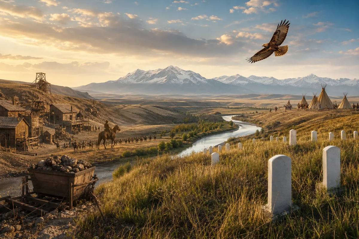
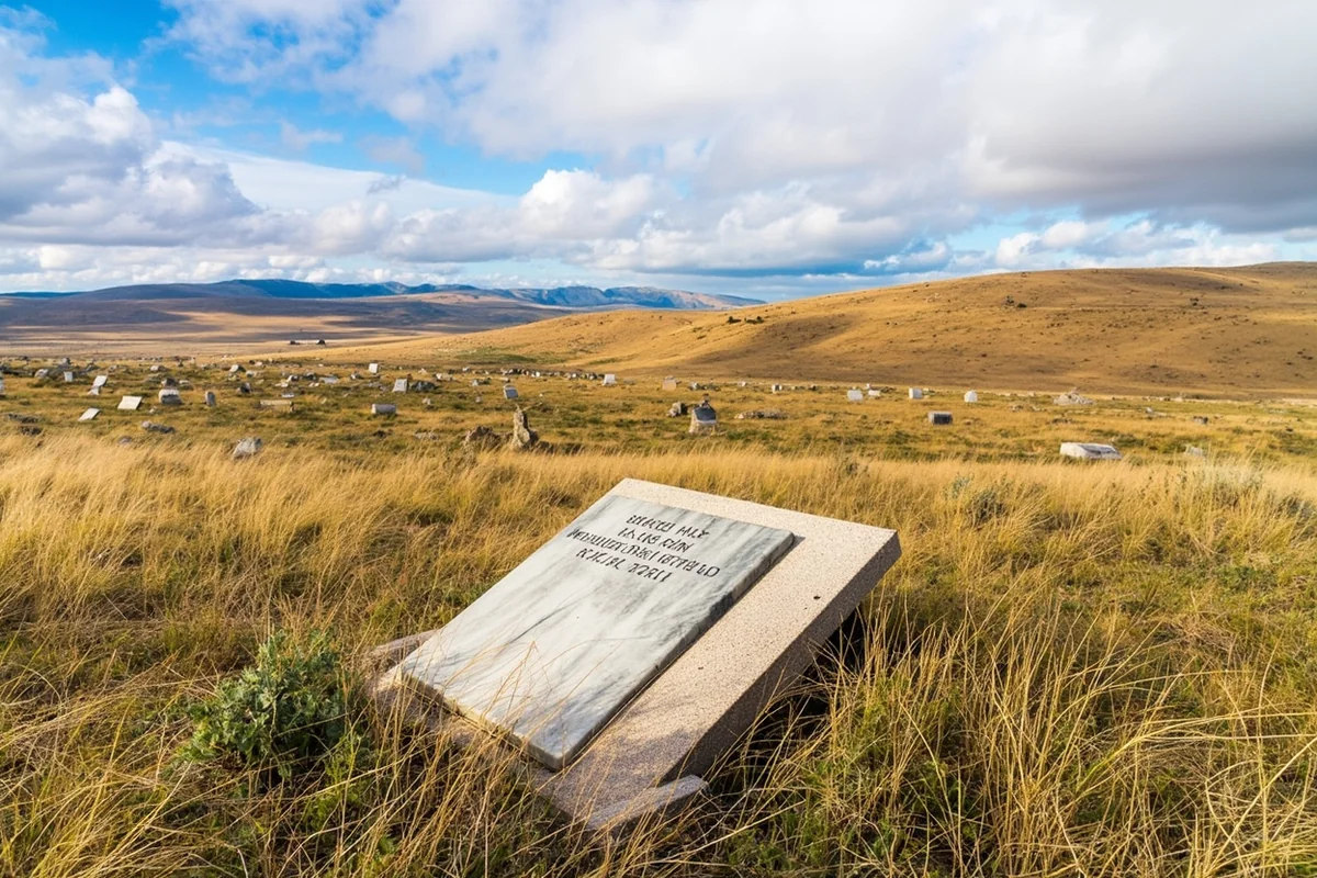
Standing on the windswept bluffs above the Little Bighorn River last June, I watched a red-tailed hawk circle over the white marble headstones marking where Custer’s men fell, and I realized something profound: Montana isn’t just a place where history happened—it’s where American history took unexpected turns that still shape us today.
From the gold strikes that brought chaos and fortune to the quiet missile silos that could have ended civilization, this state has witnessed some of the most pivotal moments in our national story.
If you’re interested in exploring Montana history firsthand, you’re in for an experience unlike anywhere else in America. The landscape itself feels like a living museum, with battle sites, ghost towns, and cultural landmarks scattered across millions of acres of stunning terrain.
- Montana’s key historical events span from prehistoric times through the Cold War era
- The Battle of Little Bighorn (1876) remains the most visited historical site in the state
- Gold discoveries in the 1860s transformed Montana from wilderness to territory within years
- Statehood in 1889 followed decades of territorial conflict and copper wars
- Cold War missile installations made Montana a nuclear superpower
- Native American heritage sites offer essential context for understanding all other events
- Plan 7-10 days to properly experience Montana’s major historical locations
Before European Contact: The Indigenous Foundation
I’ve spent countless hours in Montana, and one thing I always tell visitors is that the state’s history didn’t begin with Lewis and Clark. When I visited the First Peoples Buffalo Jump State Park near Ulm, a Blackfeet cultural interpreter helped me understand that these cliffs had been used for communal hunting for over 1,000 years before any European set foot in Montana.
The archaeological evidence is staggering. During my visit, I walked along the mile-long cliff edge where countless bison were driven to their deaths by highly coordinated tribal hunters. The bone deposits at the base of some jumps are 18 feet deep.
Montana was home to numerous Indigenous nations, each with distinct territories and cultures. The Blackfeet Confederacy dominated the northern plains, while the Crow controlled much of south-central Montana. The Salish, Kootenai, and Pend d’Oreilles lived in the western valleys, and the Cheyenne and Sioux had territories in the eastern regions.
Understanding Montana’s name origin and meaning actually connects to this pre-colonial period—the Spanish word for “mountainous” perfectly described the landscape these tribes had called home for millennia.
Visiting Indigenous Heritage Sites Today
When I toured the Plains Indian Museum in Browning on the Blackfeet Reservation, I spent three hours examining artifacts and artwork that span thousands of years. The museum sits directly on the reservation, and I strongly recommend hiring a local guide for additional context.
The Pictograph Cave State Park near Billings offers another window into prehistoric Montana. On my last visit, I arrived early morning when the light was perfect for viewing the 2,000-year-old paintings on the sandstone walls.
| Indigenous Heritage Site | Location | Best Time to Visit | Admission |
|---|---|---|---|
| First Peoples Buffalo Jump | Ulm (near Great Falls) | May-September | $6/vehicle |
| Pictograph Cave State Park | Billings | April-October | $6/vehicle |
| Museum of the Plains Indian | Browning | Year-round | $5 adults |
| Chief Plenty Coups State Park | Pryor | May-September | $6/vehicle |
Lewis and Clark: The Corps of Discovery (1805-1806)
The Lewis and Clark expedition spent more time in present-day Montana than in any other state, and I’ve retraced significant portions of their route.
When I stood at the confluence of the Missouri and Marias Rivers near Loma, I tried to imagine William Clark’s confusion as he attempted to determine which fork was the true Missouri.
The Corps entered Montana on April 26, 1805, near the present-day border with North Dakota. They wouldn’t leave until June 1806, having crossed the Rockies, nearly starved, and established the first documented American presence in this vast territory.
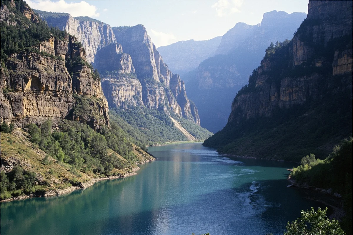
Gates of the Mountains
On a recent trip, I took the two-hour boat tour through the Gates of the Mountains north of Helena. This is the exact spot where Meriwether Lewis wrote in his journal about the “most remarkable cliffs” that appeared to close in behind the expedition’s canoes.
The limestone walls still rise 1,200 feet straight up from the water. Our boat captain pointed out the same geological features Lewis documented 219 years ago.
I recommend booking the afternoon departure when the sun illuminates the east-facing cliffs.
Pompeys Pillar: Clark’s Signature
The only remaining physical evidence of the Lewis and Clark expedition along their entire route sits 28 miles east of Billings. William Clark carved his name and the date—July 25, 1806—into a sandstone pillar, and you can still see it today behind protective glass.
When I visited Pompeys Pillar National Monument, I walked the boardwalk to the signature and spent time reading the interpretive displays about Sacagawea’s son, Jean Baptiste, whom Clark nicknamed “Pomp.” Clark named this pillar for the child.
The visitor center provides excellent context, and the views from the top of the pillar across the Yellowstone River Valley are worth the climb.
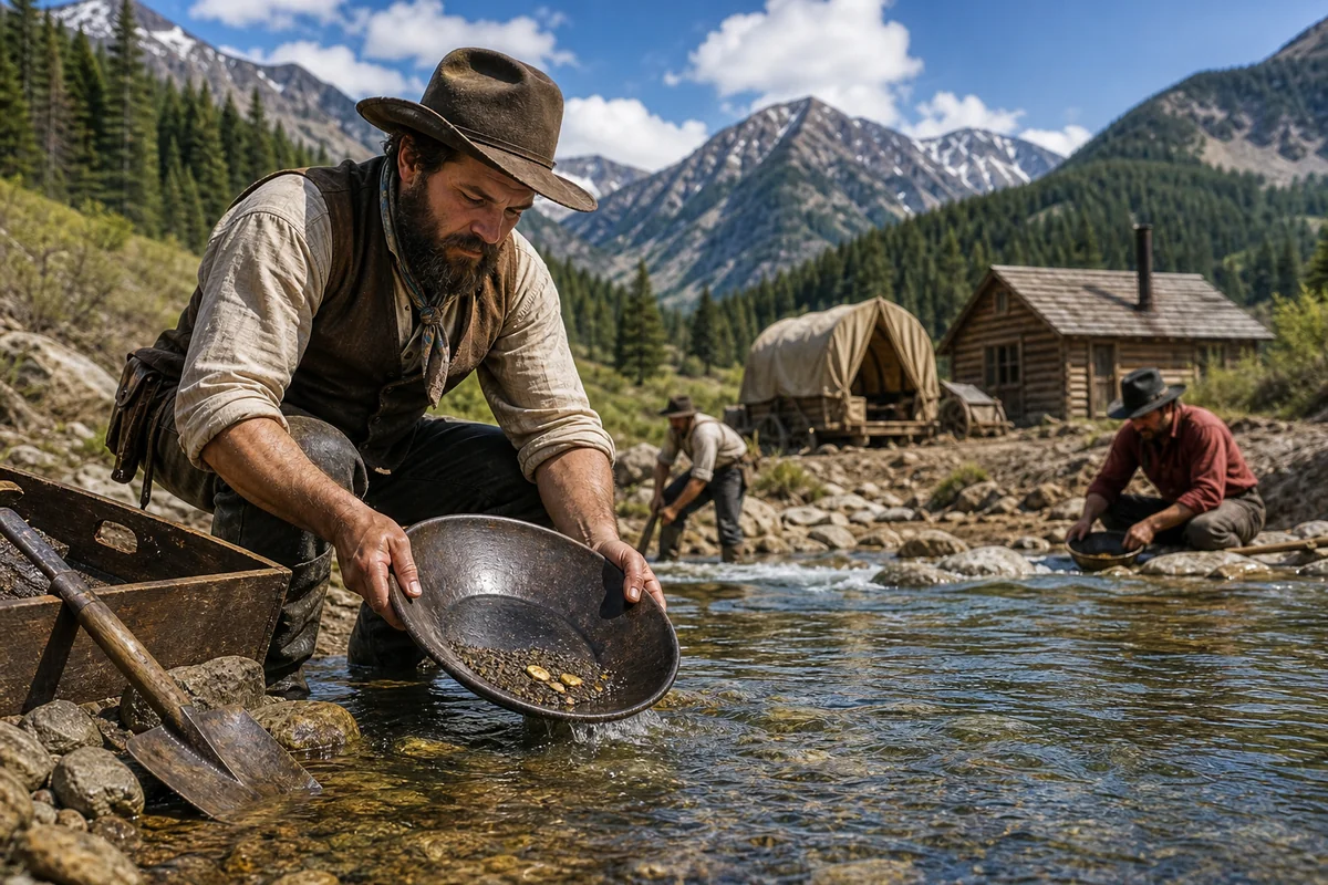
The Gold Rush Era: When Montana Exploded (1862-1870s)
Nothing transformed Montana more rapidly than gold. When I explored Montana’s gold rush history, I discovered that within just a few years, dozens of mining camps sprang up, Montana became a territory, and the Indigenous way of life began its tragic collapse.
Gold was first discovered at Gold Creek in 1852, but the major strikes that brought floods of prospectors came later. Grasshopper Creek (Bannack) in 1862, Alder Gulch (Virginia City) in 1863, and Last Chance Gulch (Helena) in 1864 each created instant cities.
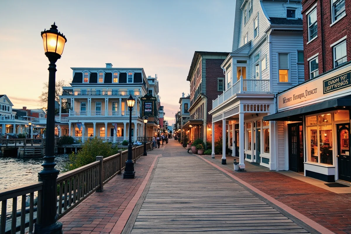
Virginia City and Nevada City: Living Ghost Towns
I’ve visited Virginia City four times, and I’m still discovering new details. Unlike many ghost towns that are mere ruins, Virginia City and its neighbor Nevada City have been preserved and partially restored into the most authentic gold rush experience I’ve found anywhere in the West.
During my most recent stay last summer, I walked the boardwalks of Virginia City after the tourists had left for the day. The creaking wooden buildings, the original storefronts, and the complete absence of modern intrusions created an eerie but powerful sense of time travel.
The Nevada City Museum and Music Hall features the largest collection of antique music machines in the world. The curator demonstrated a massive orchestrion for our small group, and the sound filled the building with Victorian-era mechanical music.
Here’s what many visitors miss: the actual gold dredge ponds and mining remnants are visible throughout the Alder Gulch between the two towns. I spent an afternoon hiking the abandoned mining areas and found rusted equipment, collapsed mine entrances, and the unmistakable scars of hydraulic mining.
Bannack: Where Montana Began
Bannack State Park preserves Montana’s first territorial capital and the site of Montana’s first major gold strike. When I walked through Bannack on an October afternoon, I was completely alone among 60 preserved structures.
The town is genuinely haunted by its history. The sheriff’s office where Henry Plummer—later revealed as the leader of a murderous road agent gang—once sat in authority still stands. The Meade Hotel, built from the brick of an abandoned mill, anchors the main street.
I always recommend Bannack Days on the third weekend of July when the town comes alive with reenactors, demonstrations, and activities. However, visiting in the off-season provides a more contemplative experience.
The Vigilante Period and Road Agent Crisis
Between 1862 and 1864, a gang of road agents murdered an estimated 100+ people traveling Montana’s gold routes. What makes this period historically significant is the vigilante response that followed.
When citizens discovered that Sheriff Henry Plummer was actually leading the gang, they formed a Vigilance Committee in December 1863. Over the next few weeks, they hanged 22 men, including Plummer himself.
The Montana state prison history has roots in this chaotic period when the territory had virtually no functioning law enforcement.
I visited the hangman’s building in Virginia City where five men were executed simultaneously on January 14, 1864. The small structure still stands, and the docent provided details I’ve never read in any book.
The Battle of Little Bighorn: June 25-26, 1876
No single event in Montana’s history captures American imagination like Custer’s Last Stand. I’ve visited the Little Bighorn Battlefield National Monument three times, in different seasons, and each visit revealed new understanding.
When I first arrived at the visitor center, I expected a straightforward battle narrative. What I found was far more complex—a story of cultural collision, military hubris, and Indigenous resistance that still resonates today.

Understanding What Actually Happened
Lieutenant Colonel George Armstrong Custer led approximately 700 men of the 7th Cavalry against a village of Lakota Sioux, Northern Cheyenne, and Arapaho that numbered between 7,000-10,000 people, including an estimated 1,500-2,000 warriors.
Custer divided his command into three battalions and attacked. His battalion of roughly 210 men was wiped out to the last soldier. Two other battalions under Major Marcus Reno and Captain Frederick Benteen were besieged on a hilltop four miles away, suffering heavy casualties before reinforcements arrived.
For the Indigenous nations, this was their greatest military victory—and the beginning of their final defeats. The U.S. response to Little Bighorn was massive retaliation that ultimately ended the free-ranging life of the Plains tribes.
Walking the Battlefield
During my last visit, I took the ranger-led walking tour of Last Stand Hill. The ranger explained how archaeological work in the 1980s using metal detectors completely revised understanding of the battle.
I then drove the 4.5-mile tour road that connects various battle areas. Deep Ravine, where 28 soldiers’ bodies were found, remains unmarked by the road.
The Reno-Benteen Battlefield, where the surviving soldiers desperately defended their hilltop position for two days, is often overlooked by visitors.
The Indian Memorial, added in 2003, provides essential Indigenous perspective. The circular design honors the warriors who defended their families and way of life.
I spent four hours at the battlefield and could have stayed longer. Plan accordingly—this isn’t a quick stop.
Practical Tips for Visiting
The battlefield sits 65 miles southeast of Billings. Summer temperatures often exceed 100°F on the exposed hillsides, so bring water, sunscreen, and a hat.
The visitor center has air conditioning and excellent museum exhibits. The bookstore carries the definitive works on the battle.
Annual commemorations on June 25-26 draw large crowds. If you want a contemplative experience, visit early morning or late afternoon in the shoulder seasons.
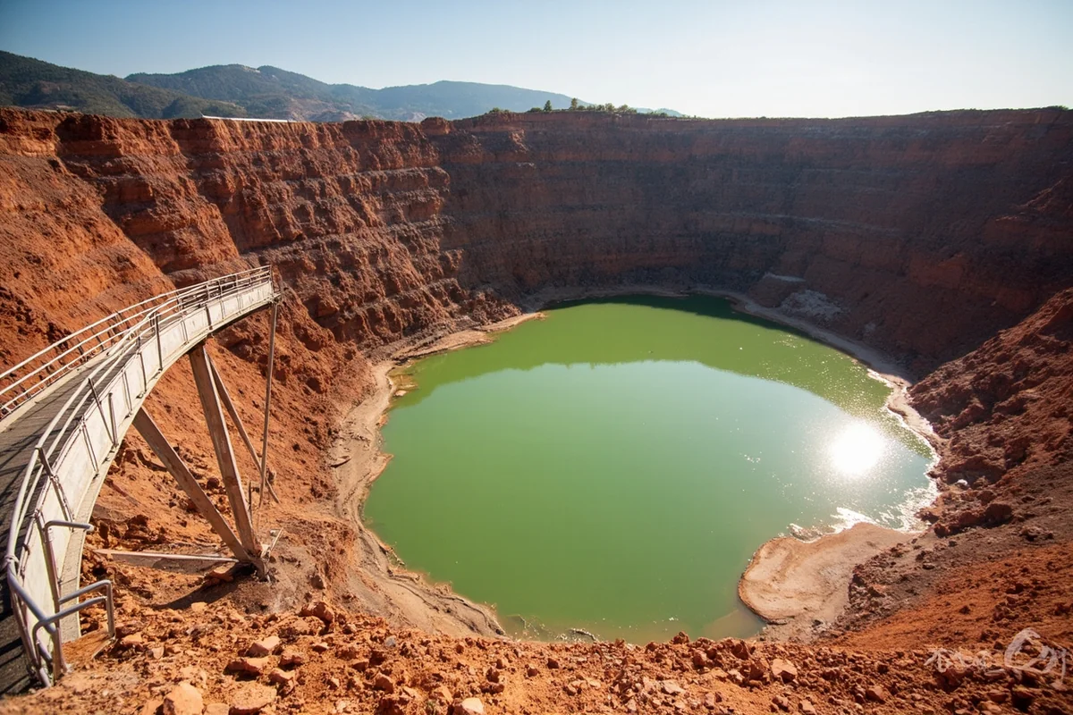
The Copper Kings and the War for Butte (1880s-1910s)
Montana’s second mining boom wasn’t gold—it was copper. And the fight for control of Butte’s copper created one of the most corrupt, violent, and economically significant chapters in American industrial history.
When I toured the Berkeley Pit—the massive open-pit mine that literally consumed much of Butte—I grasped the scale of what happened here. The pit is one mile long, half a mile wide, and 1,780 feet deep. It’s now filled with toxic water.
The War of the Copper Kings
Three men—Marcus Daly, William Andrews Clark, and F. Augustus Heinze—fought for control of Butte’s copper wealth in a conflict that involved bribery of entire legislatures, bought judges, competing newspapers, and industrial espionage.
During my walking tour of uptown Butte, our guide showed us buildings once owned by competing copper kings, pointing out how they’d try to outdo each other architecturally. The courthouse where Heinze won favorable rulings from his “pet judge” still stands.
The legacy of the Copper Kings includes Montana’s state capital being located in Helena rather than Anaconda (Marcus Daly’s company town)—decided by a bitterly fought election in 1894 that involved widespread vote-buying on both sides.
Butte Today: Mining Heritage Tourism
Butte has embraced its rough history. The World Museum of Mining, built on an actual former mine yard, offers tours into underground mine workings. I took the underground tour and descended into the Orphan Girl Mine, where a former miner explained the brutal working conditions that killed thousands.
The Mai Wah Museum in Butte documents the Chinese community that once numbered 2,000 people—a population drawn by mining opportunities and later subject to severe discrimination and violence.
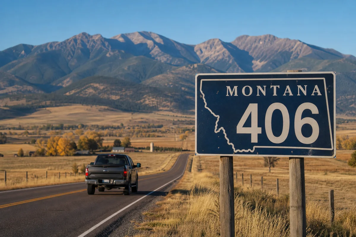
Speaking of Montana’s unique character, the state’s identity is so tied to its history that even what Montana’s 406 area code means to residents reflects a sense of pride in being part of a singular place.
Statehood: November 8, 1889
Montana became the 41st state on November 8, 1889, but the path to statehood was anything but smooth. The territory had been governed—and often misgoverned—since 1864, and powerful mining interests fought to shape the state constitution to their advantage.
When I explored the Montana State Capitol in Helena, I noticed how the building itself reflects the copper wealth that funded Montana’s early statehood. The copper dome required 6,500 pounds of copper.
The legacy of Montana’s pioneers is celebrated throughout the capitol building in murals and statuary.
The Constitutional Convention
Montana’s constitution was written in Helena during a 45-day convention in 1889. The document was remarkably progressive for its time, including provisions for direct democracy and limits on corporate influence in politics—ironic given how copper money dominated the territory.
The original constitution building, the Helena Business Improvement District, can be visited. While it’s now used for other purposes, historical plaques mark its significance.
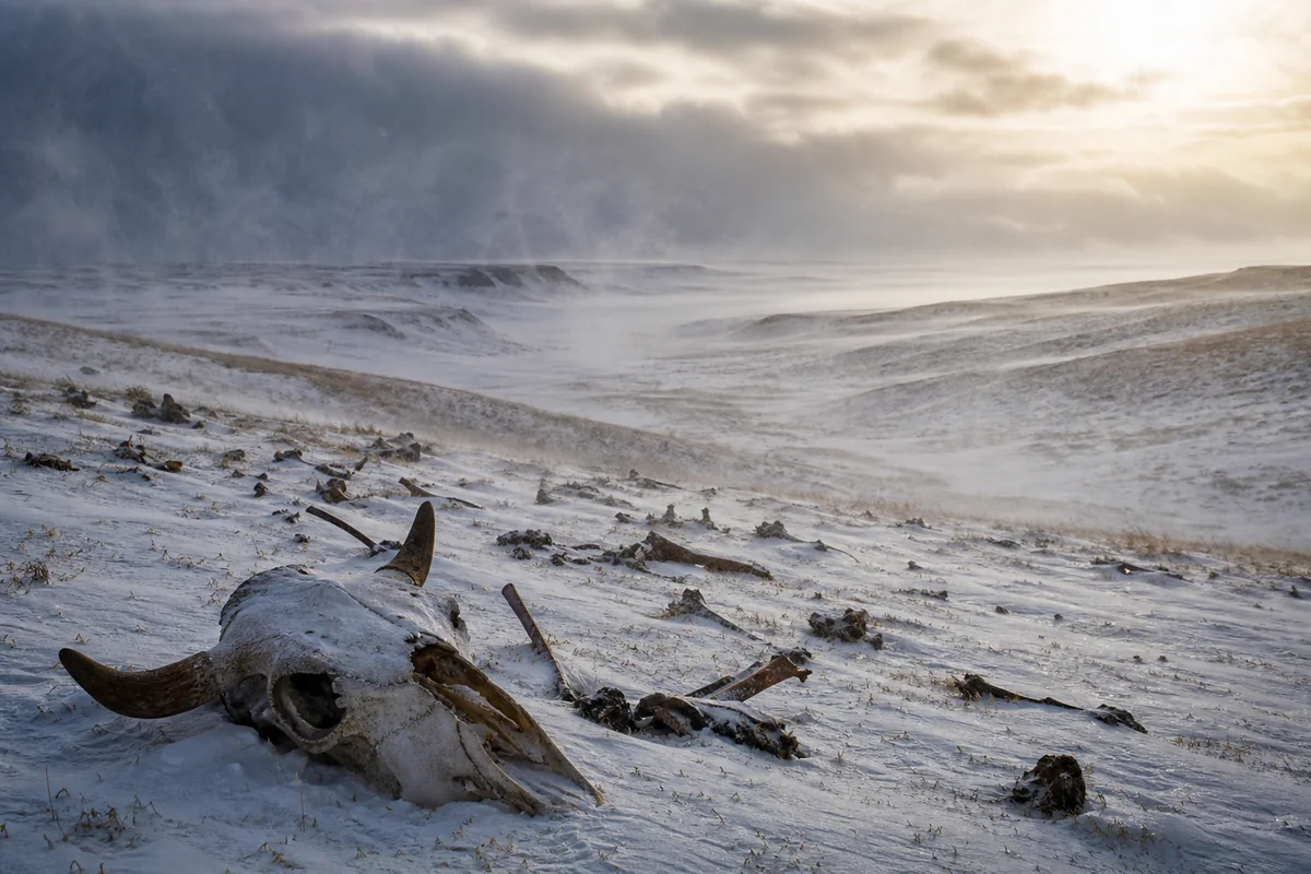
The Hard Winter of 1886-1887: End of the Open Range
Before visiting Montana, I recommend understanding the harsh Montana winter of 1886 that fundamentally transformed the cattle industry. This single winter killed an estimated 90% of cattle in some areas.
When I spoke with a rancher near Miles City, he explained that his family’s operation dates to 1888—the year after the disaster forced a complete rethinking of cattle ranching. Those who survived switched from open-range grazing to raising hay, building shelters, and maintaining smaller herds.
Charlie Russell, Montana’s most famous artist, was working as a cowboy during that winter. His watercolor “Waiting for a Chinook”—showing a starving cow surrounded by wolves—became the iconic image of the disaster. The original hangs in the Montana Historical Society in Helena, and I stood before it for a long time.
The worst winters in Montana’s history have repeatedly shaped human settlement and activity in ways that visitors can still observe today.
The Great Fire of 1910: When Mountains Burned
On August 20-21, 1910, a firestorm burned approximately three million acres across Montana, Idaho, and Washington in just 36 hours. Eighty-five people died, mostly firefighters. This single event transformed American wildfire policy and created the U.S. Forest Service as we know it today.
Montana’s fire history is critical context for understanding the state’s forests and current fire management debates.
When I hiked in the Lolo National Forest, the forest ranger pointed out areas where 1910 burn scars are still visible. The lodgepole pines that regenerated after the fire are now themselves reaching fire-susceptible maturity.
The Ranger Station in Missoula has interpretive displays about the firefighters who died, including the famous “lost crew” at Setzer Creek.
The Homestead Boom and Bust (1909-1919)
Between 1909 and 1918, over 42,000 homesteaders filed claims in Montana, lured by railroad advertising and the Enlarged Homestead Act that offered 320 acres of “free” land.
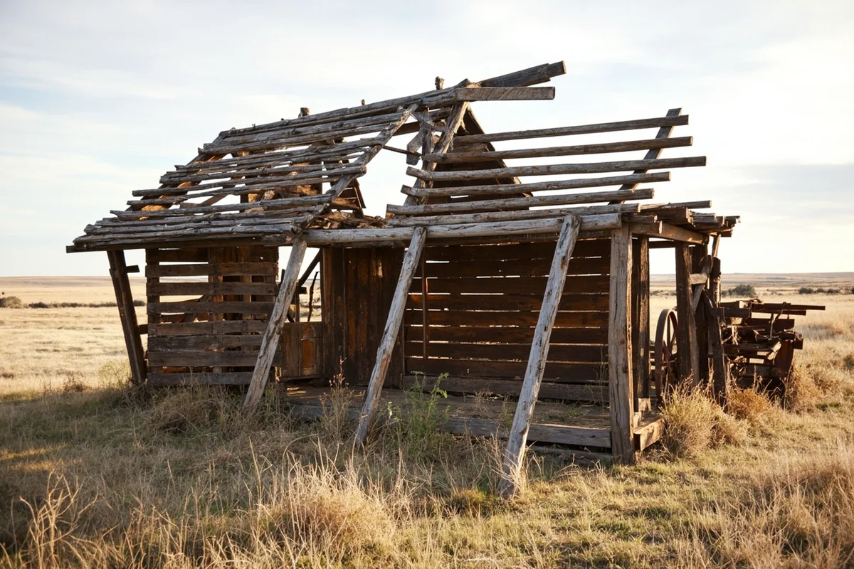
Most of them failed. The droughts of the late 1910s and 1920s turned optimistic farms into dusty failures. Eastern Montana is still dotted with abandoned homesteads, their collapsed buildings slowly returning to the earth.
During a drive from Lewistown to Jordan, I counted over a dozen visible homestead ruins. The Mon-Dak Heritage Center in Sidney has an excellent exhibit on the homestead era, including photographs of families in front of sod houses.
Montana in the World Wars
Montana contributed disproportionately to both World Wars. Fort Missoula served as an internment camp for Italian and Japanese nationals during World War II—a dark chapter I learned about during a visit to the Historical Museum at Fort Missoula.
Today, Montana’s active military bases continue the state’s military tradition, though the focus has shifted to Air Force operations.
The Italian internment story is particularly unusual. Many of the Italians detained at Fort Missoula were merchant seamen whose ships had been caught in American ports when Italy entered the war. The museum displays their artwork, crafts, and documents from that period.
The Cold War: Montana’s Missile Fields
Few visitors realize that Montana was—and partially remains—one of America’s most significant nuclear weapons deployments. At its peak, Montana hosted 200 Minuteman missile silos surrounding Malmstrom Air Force Base near Great Falls.
Montana’s missile silos and launch sites are scattered across the north-central part of the state, and visiting them provides a sobering Cold War experience.
When I visited the Minuteman Missile NHS visitor center (technically in South Dakota, but Montana’s installations were nearly identical), I descended into a launch control center and stood where officers once waited for orders that, fortunately, never came.
The secret military bases in Montana during the Cold War extended beyond the well-documented missile fields.
Natural Disasters That Shaped Montana
Montana’s major earthquakes have dramatically altered the landscape. The 1959 Hebgen Lake earthquake, magnitude 7.5, remains one of the strongest earthquakes ever recorded in the continental United States.
When I visited Earthquake Lake, created when the quake triggered a massive landslide that dammed the Madison River, I walked the interpretive trail past the mass grave where 28 victims remain buried beneath millions of tons of rock. The memorial is one of the most powerful historical sites I’ve experienced anywhere.
The visitor center at Earthquake Lake has seismographs, displays about the disaster, and ranger programs during summer months.
Cultural Heritage: Beyond the Headlines
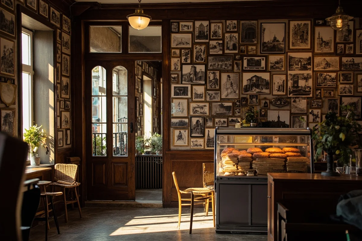
History isn’t just about battles and disasters. Montana’s food history and culinary heritage tells stories of Indigenous foodways, immigrant traditions, and adaptations to a challenging environment.
During my time in Butte, I ate a pasty at Gamer’s Cafe—a Cornish meat pie brought by immigrant miners in the 1880s. The recipe hasn’t changed.
Even Montana’s darker history offers lessons. Serial killers with links to Montana remind us that even remote areas weren’t immune to American violence.
And geological history predating humans is also part of the story. Montana’s underwater history refers to the ancient seaways that once covered the region, leaving behind the fossil beds that tourists can explore today.
Planning Your Montana History Trip
After all my travels across Montana, I’ve developed what I consider the ideal historical itinerary. This requires at least seven days, preferably ten.
Days 1-2: Start in Billings
Visit Pictograph Cave, Pompeys Pillar, and the Western Heritage Center. Drive to Little Bighorn Battlefield for an afternoon visit.
Days 3-4: Southwest Montana
Explore Virginia City, Nevada City, and Bannack. Overnight in Dillon or Virginia City.
Day 5: Butte
World Museum of Mining, Berkeley Pit, uptown walking tour. The Finlen Hotel provides period-appropriate lodging.
Days 6-7: Helena and Great Falls
Montana State Capitol, Montana Historical Society Museum, Gates of the Mountains boat tour, First Peoples Buffalo Jump, C.M. Russell Museum.
Optional Extensions:
Earthquake Lake and Yellowstone add 2-3 days from the southwest Montana section. Fort Missoula and the Flathead Valley add 2 days from the Helena area.
Final Thoughts on Experiencing Montana’s History
What strikes me most after years of exploring Montana’s historical sites is how recent everything feels. There are people alive today whose grandparents homesteaded on the prairie, whose great-grandparents prospected for gold, whose families remember when the last free Indigenous communities were forced onto reservations.
Montana’s history isn’t sealed behind glass. You walk on it, drive through it, and if you’re paying attention, you feel its weight everywhere you go.
The key is slowing down. Don’t try to check boxes or race from monument to monument. Pick a few sites that genuinely interest you and spend real time there. Read the interpretive signs. Talk to the rangers and docents. Sit quietly at the overlooks.
This is land that has witnessed tremendous change in a remarkably short time. When you stand at Little Bighorn or walk through Virginia City or gaze into the abyss of the Berkeley Pit, you’re connecting with events that shaped not just Montana but America itself.
That’s worth whatever time you can give it.
Frequently Asked Questions
What are the most important historical events that happened in Montana?
Montana’s history is shaped by pivotal events including the Battle of Little Bighorn in 1876, the copper mining boom in Butte during the late 1800s, and the Lewis and Clark Expedition passing through in 1805-1806. The state also played a significant role in the homesteading era and witnessed the tragic Marias Massacre of 1870. I recommend visiting Little Bighorn Battlefield National Monument and the World Museum of Mining to experience these stories firsthand.
Where can I visit Battle of Little Bighorn sites in Montana and how much does it cost?
Little Bighorn Battlefield National Monument is located near Crow Agency, about 65 miles southeast of Billings off Interstate 90. Entrance fees are $25 per vehicle or $20 per motorcycle, and the pass is valid for 7 days. I found the ranger-led tours incredibly moving and recommend arriving early in summer to avoid crowds and afternoon heat.
What is the best time of year to visit Montana’s historical landmarks?
Late May through September offers the best weather for exploring Montana’s outdoor historical sites, with most attractions fully operational. I personally prefer early June or September when crowds thin out and temperatures are comfortable for walking tours. Winter visits work well for indoor museums like the Montana Historical Society in Helena, though some battlefield sites have limited access due to snow.
How do I follow the Lewis and Clark Trail through Montana?
The Lewis and Clark National Historic Trail crosses Montana for roughly 1,000 miles, following the Missouri River and crossing the Rocky Mountains near Lolo Pass. Key stops include Pompeys Pillar near Billings, the Gates of the Mountains near Helena, and Travelers’ Rest State Park in Lolo. I suggest allowing at least 5-7 days to properly explore the major interpretive centers and scenic pullouts along the route.
What should I bring when visiting Montana ghost towns and mining history sites?
Pack sturdy hiking boots, layers for unpredictable mountain weather, sunscreen, and plenty of water since many ghost towns like Bannack and Garnet lack amenities. I always bring a flashlight for exploring old structures and cash for small entrance fees or donations at preserved sites. Cell service is unreliable in remote areas, so download offline maps before heading to places like Virginia City or Nevada City.
Are there any Native American historical sites open to visitors in Montana?
Yes, Montana offers several significant Native American heritage sites including Little Bighorn Battlefield, First Peoples Buffalo Jump State Park near Great Falls, and the Museum of the Plains Indian in Browning near Glacier National Park. Many sites on tribal lands require permits or guided tours out of respect for sacred grounds. I recommend booking tours through tribal tourism offices for authentic perspectives on Blackfeet, Crow, and Salish-Kootenai history.
How much does a Montana history-focused road trip cost for a week?
Budget approximately $150-250 per day for two people, covering mid-range lodging, meals, gas, and attraction fees throughout Montana. National monument passes run $25-35, while state parks charge $6-8 per vehicle, and museums typically cost $8-15 per adult. I saved money by camping at state park sites near Bannack and Virginia City for around $28-34 per night while splurging on historic hotels in towns like Butte and Helena.
Sources
- https://mt.gov/discover/brief_history.aspx
- https://guides.loc.gov/homestead-act
- https://www.nps.gov/libi/learn/historyculture/battle-story.htm
- https://www.blm.gov/blog/2021-09-09/northern-pacific-railroad-completion-site
- https://www.doi.gov/blog/9-things-you-didnt-know-about-glacier-national-park
- https://www.malmstrom.af.mil/About-Us/History/Malmstrom-History/