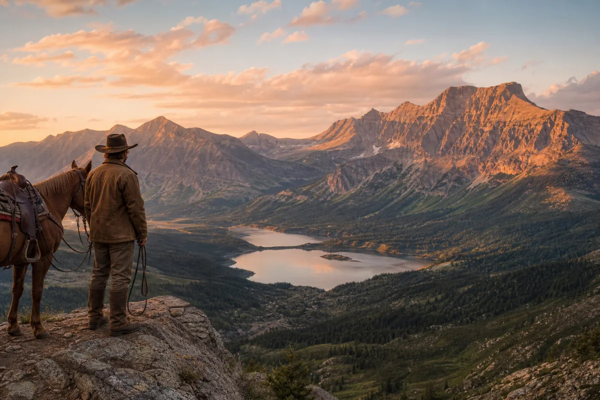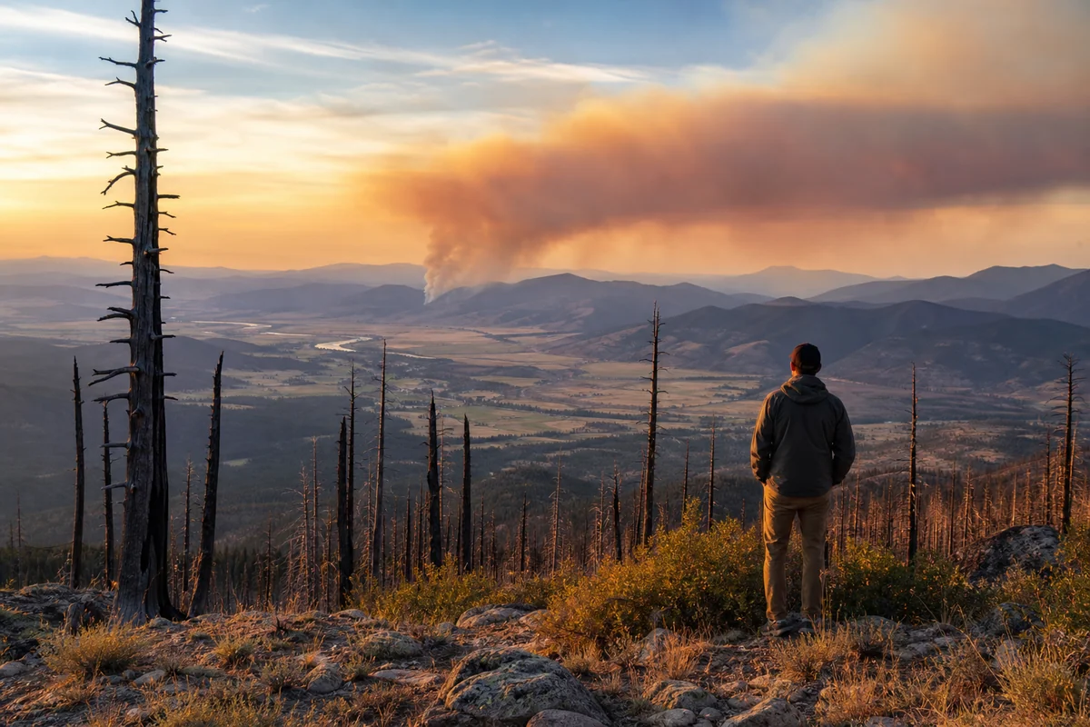
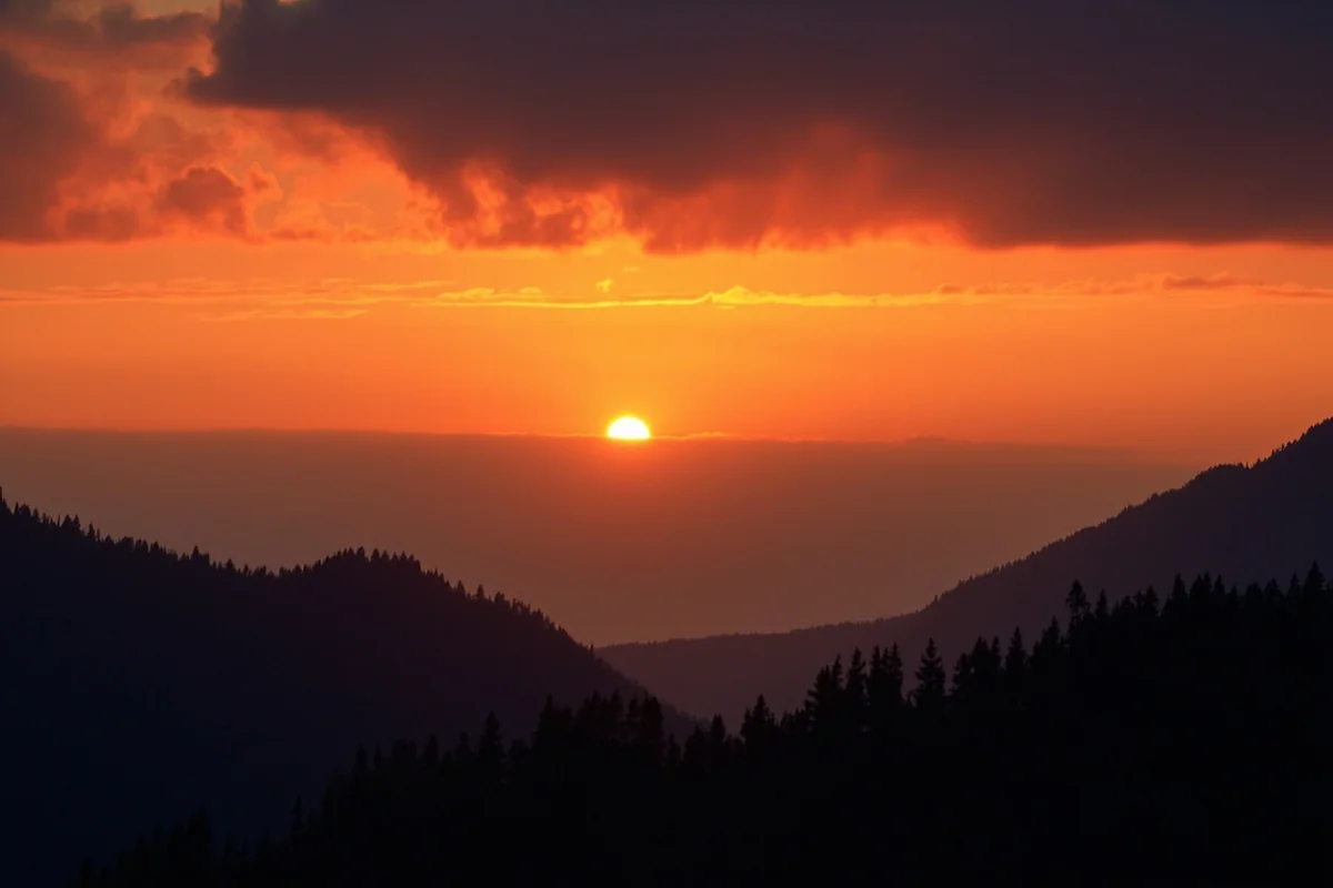
Standing on a ridgeline above the Bitterroot Valley last August, I watched a column of smoke rise twenty miles to the south—a visceral reminder that fire has always been part of Montana’s story.
The charred snags around me, remnants of the devastating 2000 Bitterroot fires, stood like silent monuments to a force that has shaped this landscape for millennia, and understanding this history fundamentally changed how I experience and appreciate Big Sky Country.
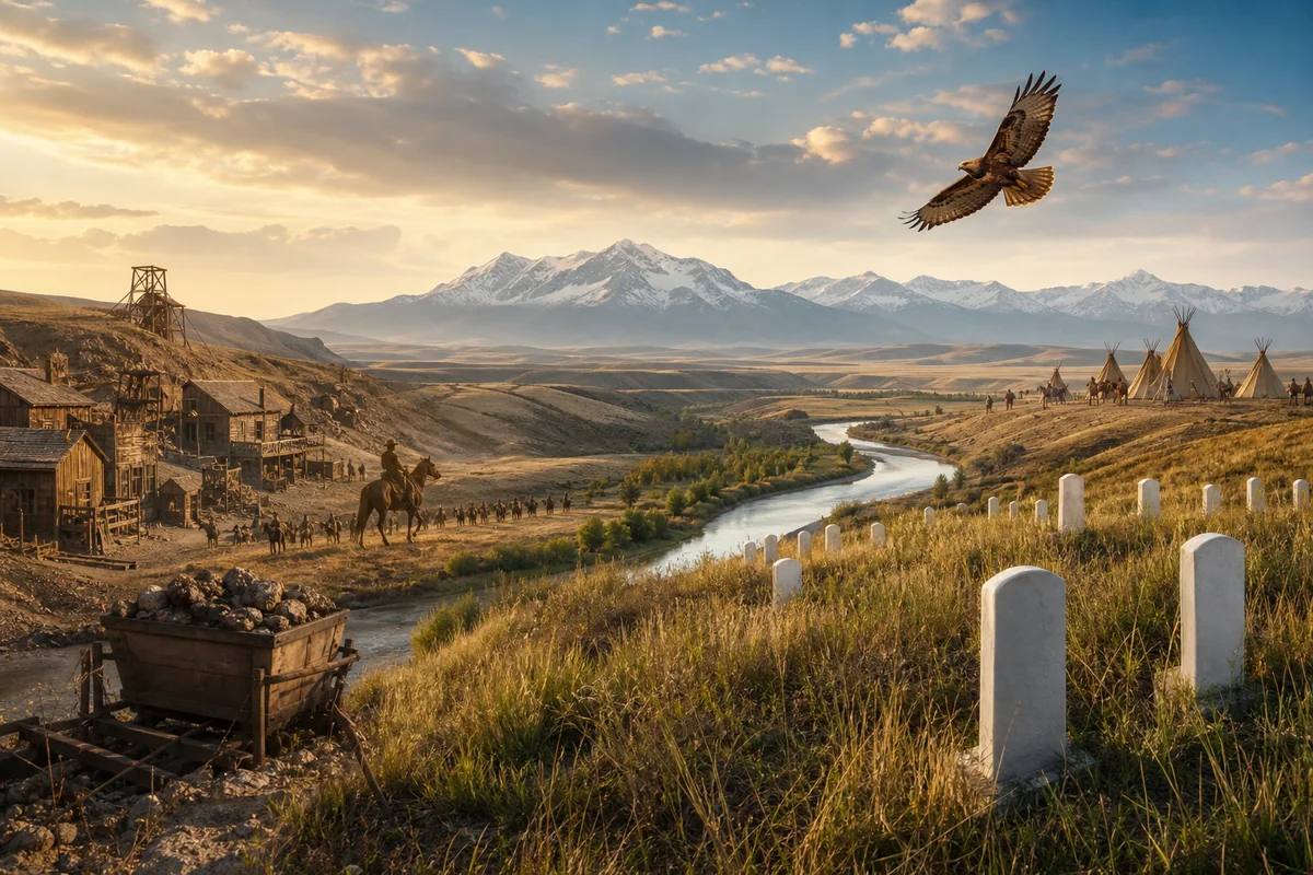
If you’re exploring Montana History, wildfire is an essential chapter—one that connects indigenous land management practices to modern conservation debates, and one that every visitor should understand before hitting the trail.
- Montana has experienced catastrophic wildfires since 1910’s “Big Blowup” that killed 85 people and burned 3 million acres across the Northern Rockies
- Fire season typically runs June through October, with August and September being the most active months for travelers to monitor
- The 1988 Yellowstone fires and 2017 fire season are among the most significant events shaping current policy
- Visitors can explore fire history at numerous interpretive sites, ranger stations, and living memorials across the state
- Understanding fire ecology enhances your Montana experience—burned areas offer unique wildlife viewing and wildflower displays
- Air quality monitoring and fire restriction awareness are essential trip planning tools
Why Montana’s Fire History Matters to Today’s Traveler
When I first started exploring Montana seriously about seven years ago, I made the rookie mistake of viewing burned forests as damaged goods—areas to drive through quickly on my way to “prettier” destinations. It took a Forest Service ranger near Seeley Lake to set me straight during my second summer in the state.
“You’re looking at one of the most biologically productive ecosystems in North America,” she told me, gesturing at a hillside of blackened lodgepole pine. “Give it two years, and this place will be exploding with life.”
She was absolutely right. The following summer, that same hillside was carpeted with fireweed, paintbrush, and lupine—and I spotted more elk in that burn area than I’d seen anywhere else in Montana that year. Understanding fire history isn’t just academic; it directly impacts where you should hike, when you should visit, and what you’ll experience.
Fire has also shaped key historical events in Montana, influencing settlement patterns, economic development, and even the establishment of the national forest system as we know it today.
The Big Blowup of 1910: The Fire That Changed Everything
No discussion of Montana fire history can begin anywhere except August 1910. I’ve stood at the memorial sites, read the firsthand accounts, and hiked portions of the burned-over terrain—and even a century later, this event defies comprehension.
On August 20 and 21, 1910, hurricane-force winds drove multiple fires across the Northern Rockies in what became known as “The Big Blowup” or “The Big Burn.” In just two days, approximately three million acres burned across Montana, Idaho, and Washington. Eighty-five people died, including 78 firefighters.
The town of Wallace, Idaho, just across the Montana border, burned almost entirely. In Montana, the fires devastated communities throughout the western mountains, including portions of Missoula County, Mineral County, and Sanders County.
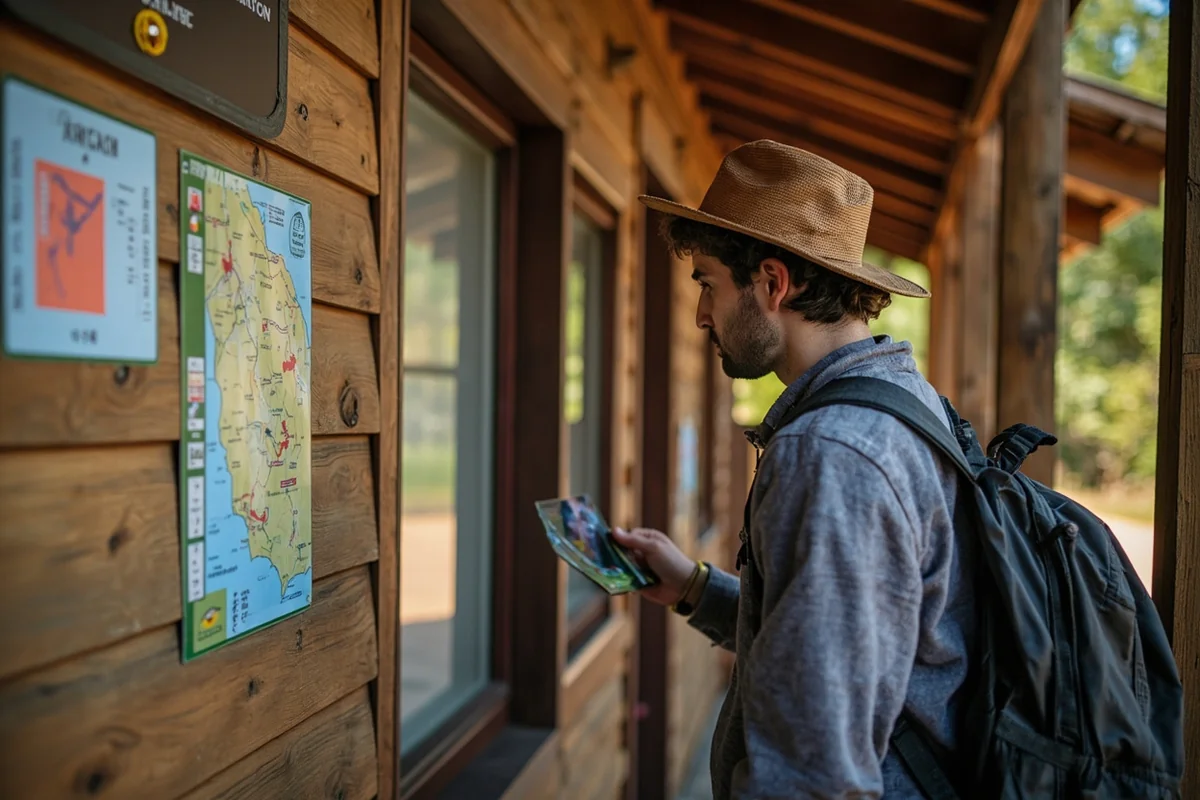
Visiting Big Blowup Historical Sites
During a road trip along Highway 200 last summer, I stopped at several locations connected to the 1910 fires. The Ninemile Ranger Station Historic District, just west of Missoula, served as a critical hub during the firefighting efforts and now operates as an interpretive center.
I spent a morning there learning about the mule-packing operations that supplied firefighters in the backcountry—a logistical challenge that seems almost impossible given the tools available in 1910.
The Pulaski Tunnel, accessible via a 2.5-mile hike from the Pulaski Tunnel Trail trailhead near Wallace, marks where ranger Ed Pulaski saved 45 men by leading them into an abandoned mine as fire swept overhead. While technically in Idaho, it’s an easy day trip from Missoula and essential for anyone interested in fire history.
In Montana proper, the St. Regis area contains numerous historical markers and remnant artifacts from the 1910 fires. The local historical society maintains excellent documentation, though you’ll need to call ahead to arrange access to some materials.
How 1910 Shaped American Forest Policy
The 1910 fires didn’t just burn trees—they incinerated the early Forest Service’s reputation and forced a complete rethinking of fire management. The “10 AM Policy,” established in 1935, mandated that all fires be suppressed by 10 AM the morning following their report.
This aggressive suppression approach seemed logical at the time but created unintended consequences that Montana is still dealing with today. By preventing natural, low-intensity burns, forests accumulated unprecedented fuel loads—essentially setting the stage for the megafires we now experience regularly.
When I spoke with a retired Forest Service fire behavior analyst at a Missoula coffee shop a few years back, he put it bluntly: “We spent a century fighting fire, and fire won.”
The 1988 Yellowstone Fires: A National Wake-Up Call
If you’ve visited Yellowstone National Park—which straddles the Montana-Wyoming border and is a must-see for any Montana traveler—you’ve walked through the legacy of 1988.
That summer, I was too young to remember the actual fires, but my parents have vivid memories of watching news coverage showing America’s first national park apparently going up in smoke. When I finally visited in my twenties, I expected devastation. Instead, I found revelation.
What Actually Happened in 1988
The 1988 Yellowstone fires burned approximately 793,000 acres within the park—about 36% of its total area. Nine major fires combined with numerous smaller blazes during a summer of extreme drought and unprecedented wind events.
At the time, public outcry was intense. “Let it burn” policies implemented in the 1970s seemed to have failed catastrophically. Media coverage focused almost exclusively on destruction.
But here’s what I’ve learned from multiple visits since: the 1988 fires were a masterclass in ecosystem resilience. Lodgepole pine, Yellowstone’s dominant tree species, has evolved with fire. Their serotinous cones require heat to open and release seeds.
Walking through areas that burned in 1988 today, you’ll find dense stands of 35-year-old lodgepole—a thriving forest that replaced its predecessor exactly as nature intended.
Visitor Experience in Post-1988 Yellowstone
On my most recent Yellowstone trip in late September, I specifically sought out burn areas for wildlife viewing. These regenerating forests offer superior sightlines compared to mature stands, and ungulates are attracted to the abundant new growth.
I spotted a grizzly bear digging for whitebark pine nuts in a 1988 burn area near Dunraven Pass—a sighting made possible precisely because fire had opened up the terrain.
The Yellowstone fires also intersected with other forces shaping Montana. That same harsh Montana winter of 1886 that devastated the cattle industry followed years of drought conditions, reminding us that Montana’s climate has always been defined by extremes.
Montana’s Major Fire Seasons: A Timeline for Travelers
Beyond the famous fires, Montana has experienced numerous significant fire seasons that continue to impact the travel experience. Here’s what I’ve learned matters most for visitors:
| Year | Fire Event | Acres Burned | Current Visitor Impact |
|---|---|---|---|
| 1910 | The Big Blowup | 3 million (regional) | Historical sites, memorials |
| 1988 | Yellowstone Complex | 793,000 | Regenerating forests, wildlife viewing |
| 2000 | Bitterroot Fires | 356,000 | Visible burn scars, interpretive trails |
| 2003 | Glacier Park Fires | 136,000 | Trail closures, ongoing restoration |
| 2017 | Statewide Season | 1.3 million | Multiple areas, varied recovery |
| 2021 | Statewide Season | 700,000+ | Recent burns, some closures |
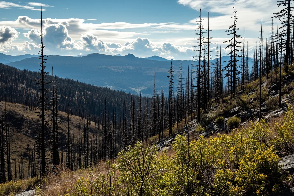
The 2000 Bitterroot Fires: Personal Observations
The Bitterroot Valley, stretching south from Missoula to the Idaho border, experienced catastrophic fires during the summer of 2000. I’ve driven Highway 93 through this valley dozens of times, and the fire’s signature remains unmistakable more than two decades later.
What strikes me most is the variability. Some hillsides show complete stand replacement—every mature tree killed, now replaced by dense young forest. Other areas, sometimes just hundreds of yards away, show mosaic burn patterns where some large trees survived.
This variability matters for hikers. On the Blodgett Canyon Overlook trail during a visit last October, I walked through patches of mature forest, recently burned areas, and 2000-era regeneration all within a four-mile round trip. It felt like experiencing a century of forest history compressed into a single hike.
2017: Montana’s Historic Modern Fire Season
The 2017 fire season hit Montana harder than any in recent memory. By summer’s end, over 1.3 million acres had burned—an area larger than the entire state of Delaware.
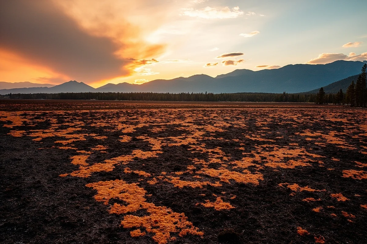
I was in Montana during August 2017, and the experience was surreal. Smoke filled valleys from Missoula to Bozeman, reducing visibility to less than a mile on some days. The sun turned deep red by midday. Respiratory warnings covered the entire western half of the state.
The Lolo Peak Fire burning just south of Missoula forced evacuations and burned over 50,000 acres. The Rice Ridge Fire near Seeley Lake exceeded 150,000 acres and burned for months. The Lodgepole Complex in Garfield County torched over 270,000 acres of grassland and timber.
For travelers, 2017 demonstrated that fire season is real and can significantly impact any Montana trip. I ended up adjusting my itinerary multiple times that summer, shifting from backcountry camping to visiting museums and historical sites in towns with better air quality.
Interestingly, areas around Montana’s active military bases maintain extensive fire breaks and suppression resources, making them less susceptible to wildfire spread.
Indigenous Fire Practices: The History Before European Contact
Long before European settlement, Montana’s indigenous peoples—including the Salish, Kootenai, Blackfeet, Crow, and others—used fire as a sophisticated land management tool. Understanding this history has enriched my appreciation for what I see in Montana’s forests today.
Controlled burns served multiple purposes: maintaining grasslands for bison herds, encouraging berry production, clearing travel routes, driving game during hunts, and signaling between groups. These weren’t accidental or uncontrolled fires—they were deliberate, seasonal, and ecologically informed.
Evidence in the Landscape
Ecologists studying Montana’s pre-contact forests have identified fire scars on ancient trees indicating burn frequencies much higher than occurred during the 20th-century suppression era. Some areas burned every 7-15 years, creating park-like forests with widely spaced large trees and grassy understories.
The “natural” forests many visitors expect to see in Montana—dense stands of uniformly aged trees—are actually products of fire suppression. The legacy of pioneers who settled Montana included disrupting indigenous fire practices that had maintained the landscape for thousands of years.
When I hike through areas that have experienced recent prescribed burns, I’m often struck by how different they feel—more open, more diverse, more alive—than the dense second-growth forests that dominate much of the state.
Where to Learn About Indigenous Fire Practices
The Salish-Kootenai tribal headquarters in Pablo offers cultural programs that sometimes address traditional ecological knowledge, including fire use. I’d recommend calling ahead to ask about current offerings.
The Museum of the Rockies in Bozeman includes exhibits on Northern Plains indigenous cultures that touch on land management practices. The Montana Historical Society in Helena also maintains archives and occasionally hosts programs related to this topic.
Speaking with indigenous community members and cultural interpreters has taught me more than any book could. If you have the opportunity to attend a tribal cultural event or interpretive program during your Montana visit, take it.
Fire Ecology 101: What Montana’s Burned Forests Teach Us
I’ll be honest: it took me years of Montana travel to truly appreciate burned forests. But once I understood the ecology, I started actively seeking out fire-affected areas.
The Three Recovery Stages
**Immediate Post-Fire (0-3 years):** The landscape looks stark, even apocalyptic. Blackened snags stand against empty sky. But look closer: fireweed sprouts within weeks of a burn. Ground-nesting birds move in. Woodpeckers feast on bark beetles in dying trees.
**Early Succession (3-15 years):** This is when burned areas become wildflower spectacles. The Moose Fire near Glacier burned in 2001, and when I hiked through the area around year seven, the display of beargrass, paintbrush, and glacier lilies was genuinely breathtaking—far more impressive than adjacent unburned forest.
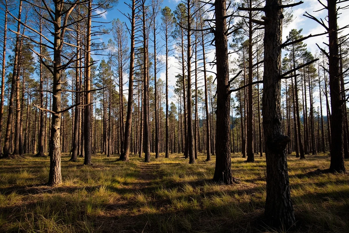
**Forest Reestablishment (15-80+ years):** Young trees begin dominating the landscape. Dense “dog hair” stands of lodgepole pine create challenging hiking but excellent deer and elk cover. Eventually, self-thinning creates mature forest structure.
Understanding these stages helps you know what to expect. A 2021 burn will look very different from a 2000 burn, and both offer unique experiences.
Wildlife in Burned Areas
Some of my best wildlife encounters have come in fire-affected forests. Black-backed woodpeckers, a species I’d never see in mature forest, specialize in burned areas. I’ve watched them excavating nest cavities in standing dead trees near Seeley Lake.
Elk congregate in burns for the abundant forage. Moose browse regenerating willows in riparian burn zones. Raptors hunt the open terrain more effectively than in dense forest.
If wildlife viewing is part of your Montana plan, don’t skip the burned areas.
Planning Your Trip Around Fire Season
Practical concerns matter. Here’s what I’ve learned about timing Montana trips with fire season in mind.
Monthly Fire Risk Overview
May-June: Generally low fire risk. Some prescribed burning may cause localized smoke. Excellent time for travel if you want to avoid fire concerns entirely.
July: Risk increasing. Some years see significant fire activity by mid-July; others remain quiet. Monitor conditions as your trip approaches.
August: Peak fire season. Most major Montana fire seasons—1910, 1988, 2000, 2017—hit hardest in August. Not a reason to avoid Montana, but definitely requires awareness.
September: Still active fire season, though decreasing intensity. Some of the most serious smoke impacts I’ve experienced have been in early September when inversions trap smoke in valleys.
October: Generally lower risk, though fires can persist until significant precipitation arrives. One of my favorite months to visit—fall colors, fewer crowds, and usually clearer air than August.
Essential Resources for Fire-Aware Travel
I check these resources obsessively when planning summer Montana trips:
- InciWeb: The interagency incident information system. Current fire locations, sizes, and containment status.
- AirNow.gov: Real-time air quality data. Critical for respiratory health decisions.
- Montana DNRC: State fire restrictions, including campfire bans.
- Glacier/Yellowstone NPS sites: Park-specific closures and conditions.
Don’t rely on conditions from last week—fire situations can change dramatically in 24 hours.
Fire History Sites You Can Visit Today
Beyond understanding fire’s role in Montana’s ecology, you can visit specific sites that illuminate this history.
Smokejumper Visitor Center, Missoula
This is my top recommendation for anyone interested in Montana fire history. The Smokejumper Visitor Center at the Aerial Fire Depot just outside Missoula offers free tours of active smokejumper facilities.
I’ve taken the tour twice—once during off-season when crews were training, and once in early summer when they were on alert. Both experiences were exceptional.
You’ll see the parachute loft where jumpers pack their own chutes, the ready room where crews await deployment, and historical exhibits covering smokejumping from its 1940 origins to present day. The guides are often active or retired smokejumpers with incredible stories.
Mann Gulch, Gates of the Mountains Wilderness
Mann Gulch is sacred ground for wildland firefighters. On August 5, 1949, a fire blowup killed 13 firefighters—12 smokejumpers and one fire guard—in what became the deadliest single-incident firefighter fatality in American history until the 1994 South Canyon Fire.
The site is accessible only by boat or on foot. I’ve visited via boat tour from the Gates of the Mountains Marina north of Helena. The crosses marking where each man fell create an emotional landscape that’s impossible to forget.
Norman Maclean’s book “Young Men and Fire” chronicles the Mann Gulch disaster and is essential reading for understanding both the event and broader fire history. I’d recommend reading it before visiting.
Glacier National Park Fire History
Glacier has experienced numerous significant fires, and the park service interprets this history well. The 2003 fires burned over 136,000 acres—about 13% of the park. The 2015 Reynolds Creek Fire closed Going-to-the-Sun Road for a period.
Stop at any visitor center for fire ecology information. The Apgar Visitor Center has particularly good exhibits. Ranger programs sometimes focus specifically on fire history—check the schedule when you arrive.
The contrast between burned and unburned areas is stark along many popular trails. When I hiked Highline Trail last July, we walked through extensive 2017 burn areas with dramatic views that wouldn’t exist without fire opening the canopy.
The Intersection of Fire and Montana’s Other Histories
Fire history connects to nearly every other aspect of Montana’s past. Montana’s gold rush brought miners who clearcut vast forests for fuel and timber, reducing fire-resilient old growth. Railroad construction created ignition sources while simultaneously opening remote areas to firefighting access.
Even seemingly unrelated histories intersect. Montana missile silos and launch sites from the Cold War era include maintained fire breaks as part of security protocols. Montana state prison history includes inmate firefighting crews that still deploy to fires today.
The connections run deeper than you might expect. Montana’s underwater history—dams and reservoirs—relates to fire management through water supply for suppression efforts. Even Montana’s major earthquakes have fire connections, as the 1959 Hebgen Lake quake’s landslide dam created suppression water sources.
Climate and the Future of Montana Fire
I’ve noticed changes even in my relatively short time seriously exploring Montana. Seasons seem longer. Fires burn later into fall. Smoke events that once seemed unusual now feel routine.
Climate scientists project continued warming and drying in the Northern Rockies, extending fire seasons and increasing fire intensity.
The implications for travelers are real: summer trip windows may shift, flexibility becomes more important, and understanding fire ecology becomes not just interesting but essential.
The Montana worst winters that historically suppressed fire activity seem less certain as climate patterns shift. Even the meaning of Montana’s 406 area code—a symbol of state identity—takes on different weight when considering the challenges facing Big Sky Country.
Living with Fire: What Montanans Have Taught Me
Spending time in Montana communities has shifted my perspective on fire more than any book or website. Montanans live with fire in ways that visitors from less fire-prone regions might not understand.
In Seeley Lake, where the 2017 Rice Ridge Fire burned for months, I’ve talked with residents about the experience. The trauma was real—weeks of evacuation uncertainty, respiratory impacts, economic disruption. But so was resilience.
“Fire’s been here longer than us,” one longtime resident told me. “We learn to live with it or we leave.”
That pragmatism extends to how Montanans view their landscapes. The charred forests that might seem damaged to visitors are simply the current stage of a cycle that’s been turning for millennia. Next year’s wildflowers. Next decade’s young forest. Next century’s old growth—assuming no fire intervenes, which it probably will.
This perspective has enriched my Montana travels immeasurably. I no longer see burned forests as scarred or diminished. I see them as alive, transforming, and deeply connected to everything Montana has been and will be.
Final Thoughts for Fire-Aware Montana Travel
Understanding Montana’s fire history isn’t just about appreciating the past—it’s about traveling more intelligently, more safely, and more meaningfully in the present.
Check conditions before you go. Pack flexibility into your itinerary. Bring a good N95 mask during fire season (I keep one in my daypack from July through September). And when you encounter burned forests, resist the urge to see them as damaged.
Instead, look for the fireweed blooming in the ash. Listen for the woodpeckers. Watch for elk grazing the regenerating slopes. This is Montana as it has always been—dynamic, fierce, and endlessly renewing.
The state’s history includes darker chapters and hidden stories, just as its landscapes include rich culinary heritage and even debates about what the state’s name means.
But fire may be the most persistent thread connecting it all—shaping the land, challenging the people, and creating the Montana that draws travelers from around the world.
When you visit, you’re not just seeing a landscape. You’re seeing a story written in flame and renewal, going back centuries and continuing today. Approach it with respect, preparation, and curiosity, and Montana’s fire history will deepen every mile of your journey.
Frequently Asked Questions
When is wildfire season in Montana and how does it affect travel plans?
Montana’s wildfire season typically runs from June through September, with July and August being the most active months historically. I always recommend checking current fire conditions on InciWeb and Montana DNRC’s website before your trip, as smoke can impact visibility at places like Glacier National Park and cause temporary road closures.
What were the most destructive wildfires in Montana history?
The Great Fire of 1910, also called the Big Blowup, burned over 3 million acres across Montana and Idaho in just two days, killing 85 people and shaping modern firefighting policy. More recently, the 2017 fire season burned over 1.3 million acres in Montana, making it one of the worst seasons on record and a significant chapter in Montana wildfire history.
Can I visit historic wildfire sites in Montana as a tourist?
Yes, several historic fire sites offer educational experiences for visitors interested in Montana fire history. The Ninemile Remount Depot near Missoula showcases firefighting history from the 1930s, while interpretive trails in the Lolo National Forest tell the story of the 1910 fire with admission typically free or under $5.
How do Montana wildfires impact air quality for travelers with asthma or allergies?
During active fire seasons, air quality in Montana can range from moderate to hazardous, especially in valleys like Missoula and the Flathead region where smoke settles. I suggest travelers with respiratory conditions pack N95 masks, check AirNow.gov daily, and have flexible itineraries to relocate to clearer areas if needed.
What should I pack for a Montana trip during potential wildfire conditions?
Essential items include N95 respirator masks, eye drops for smoke irritation, and a portable air purifier for your hotel room if you’re sensitive to smoke. I also recommend bringing layers since fires can cause temperature swings, plus downloading offline maps in case cell service is disrupted in remote areas.
Are Montana national parks and campgrounds open during wildfire season?
Most Montana parks remain open during fire season, but specific trails, campgrounds, and roads may close with little notice due to active fires or hazardous conditions. Glacier and Yellowstone typically post real-time closure updates on their websites, and I’ve found calling ranger stations 24-48 hours before arrival gives you the most accurate access information.
How far in advance should I book Montana accommodations during wildfire season?
I recommend booking 2-3 months ahead for summer travel but choosing refundable reservations in case fires force itinerary changes. Properties in gateway towns like Whitefish, West Yellowstone, and Bozeman fill up quickly, and during major fire events, rooms can become scarce as evacuees and firefighting crews need housing.
Sources
- https://www.fs.usda.gov/Internet/FSE_DOCUMENTS/stelprdb5444731.pdf
- https://www.usfa.fema.gov/statistics/states/montana.html
- https://www.nifc.gov/fire-information/nfn
- https://www.flickr.com/photos/usdagov/9421030181
- https://www.flickr.com/photos/usdagov/9421043075
- https://www.flickr.com/photos/fsnorthernregion/9394850821
- https://commons.wikimedia.org/wiki/File:St_Maries_1910_Fire_Memorial
- https://www.flickr.com/photos/lukedetwiler/10504216413
- https://picryl.com/media/glacier-park-villas-edna-sears-graham-cabin-south-of-lake-mcdonald-lodge-on
- https://www.flickr.com/photos/kimtashjian/48277288581
- https://www.facebook.com/DiscoverBitterrootNF/photos/a.219140744893703/856097394531365/https://picryl.com/media/fire-near-old-faithful-complex-2-dea078
- https://www.rawpixel.com/image/3388314/free-photo-image-car-tree-fire-forest