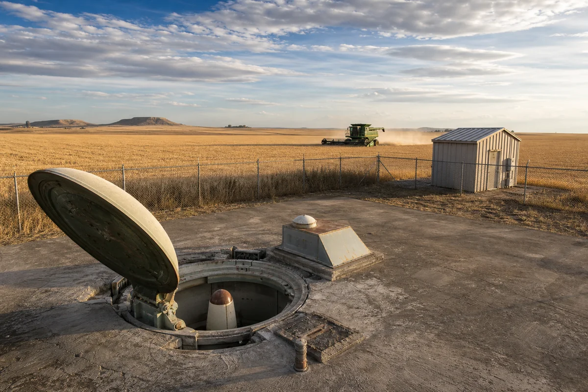
Standing in a wheat field outside Great Falls last September, I watched a rancher’s combine harvester rumble past a chain-link fence that surrounded nothing but a concrete pad and a small metal building—unremarkable, except that twelve feet beneath my boots sat the remnants of a nuclear missile silo that once held enough destructive power to level a major city.
Montana’s landscape is dotted with these Cold War relics, and exploring them offers one of the most unexpectedly moving experiences in Montana History.
- Montana once housed 200 Minuteman missile silos across the north-central prairie, with 150 still active today at Malmstrom Air Force Base
- The only publicly accessible missile silo site is located near Lewiston—a self-guided experience on private ranch land
- Several decommissioned sites are visible from public roads throughout Cascade, Chouteau, and Fergus counties
- Best time to visit: Late spring through early fall when gravel roads are accessible
- Plan 2-3 days to explore multiple sites, combining visits with Great Falls attractions
- This is real Cold War history hiding in plain sight—no admission fees for roadside viewing
Liked this article?
Add Roaming Montana as a preferred source so you see more of our articles and guides on Google.
Why Montana Became America’s Nuclear Arsenal
When I first learned that Montana held more nuclear weapons than most countries, I couldn’t quite wrap my head around it. But after spending three separate trips exploring these sites and talking with locals who remember the construction boom of the 1960s, the strategic logic became crystal clear.
Montana’s location made it ideal for intercontinental ballistic missiles (ICBMs). The northern latitude meant shorter flight paths to Soviet targets, while the vast, sparsely populated prairie provided natural security and buffer zones between silos.
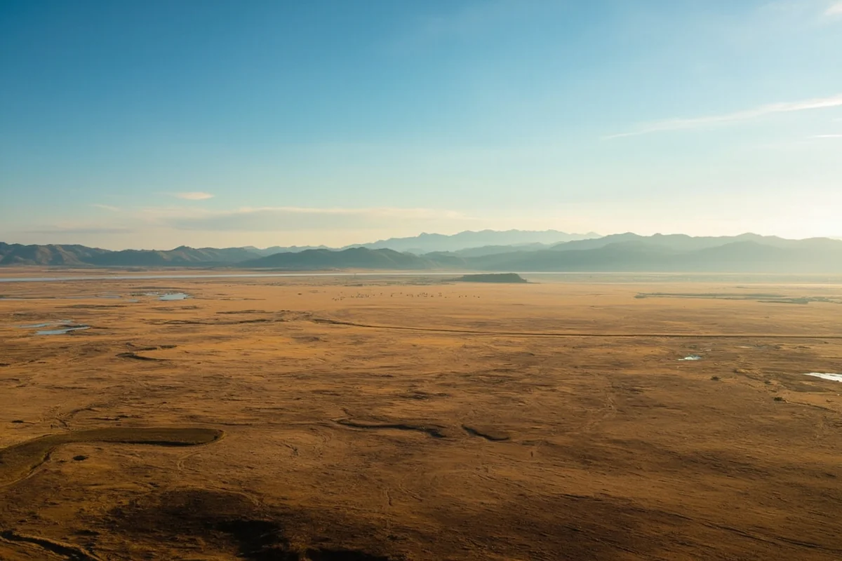
The terrain itself was perfect—flat enough for construction and maintenance, remote enough to reduce civilian risk, and spread out enough that no single enemy strike could eliminate multiple missiles. When you drive across the Hi-Line today, you’ll understand. There’s simply nothing out there but grass, wheat, and sky.
Construction began in 1961 under President Kennedy, and within three years, 200 Minuteman missiles stood ready beneath Montana soil. The project employed thousands of workers and pumped millions of dollars into communities like Great Falls, Lewiston, and Conrad.
I spoke with Harold, a retired electrician in Roy, during my visit last summer. His father helped wire the launch facilities. “Every bar in town was packed every night,” he told me. “Money was flowing. Nobody talked about what they were building. You just didn’t ask.”
This massive military presence shaped key historical events in Montana and continues to influence the region today. The economic impact transformed rural communities, and the cultural legacy—a strange blend of pride and unease—remains palpable.
Understanding the Minuteman Missile System
Before visiting, I recommend understanding what you’re actually looking at. The system has two components: Launch Facilities (LFs) and Launch Control Facilities (LCFs).
Launch Facilities (The Silos)
Each Launch Facility housed a single Minuteman missile in a hardened underground silo. What you see on the surface today is minimal: a concrete closure slab (if decommissioned), a fence, and sometimes a small equipment building.
The real structure extends 80 feet underground. The missile itself stood about 60 feet tall, ready to launch within 30 seconds of receiving an authenticated order.
During my visit to a decommissioned site near Geraldine, I was struck by how small the surface footprint appeared. Maybe an acre of land, total. Yet beneath that modest patch of prairie, engineers had constructed a feat of Cold War engineering designed to survive a near-direct nuclear hit.
Launch Control Facilities (The Capsules)
Launch Control Facilities are larger surface installations where two-person crews maintained 24-hour watch over ten missiles each. These underground capsules, suspended on massive shock absorbers, could withstand incredible force while crews waited for orders that, thankfully, never came.
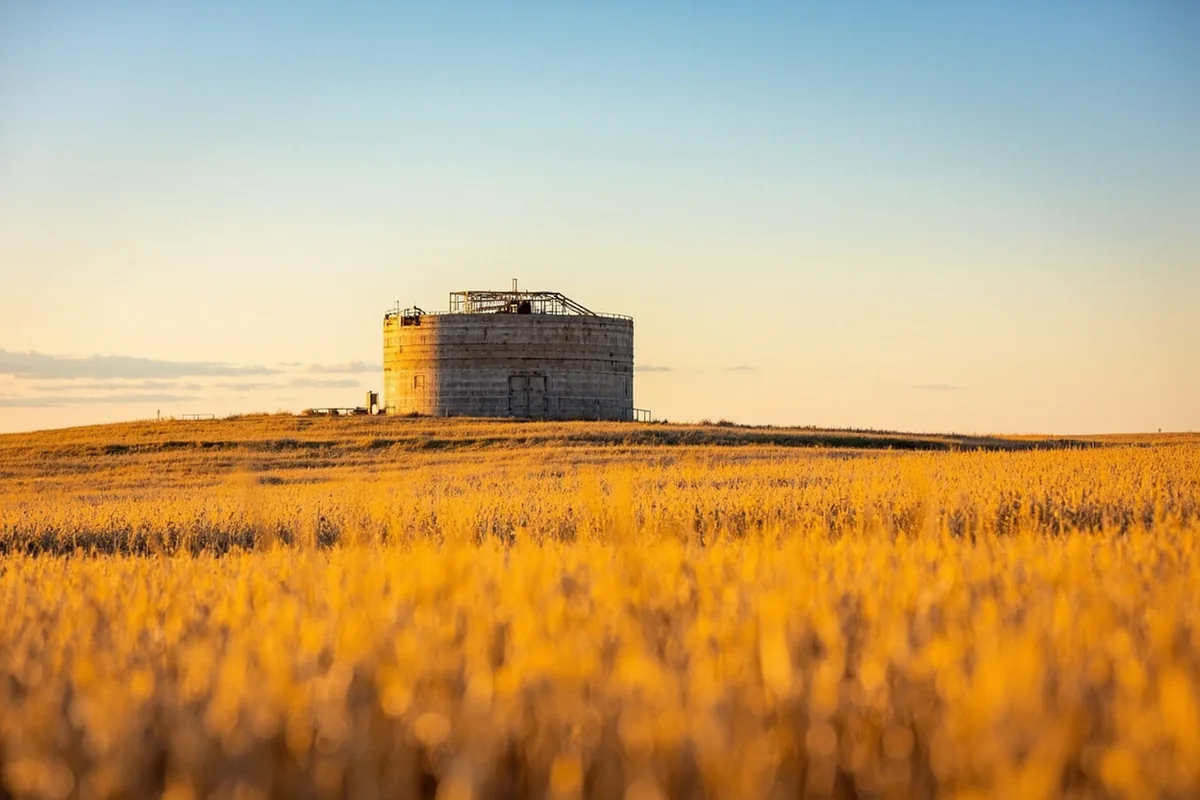
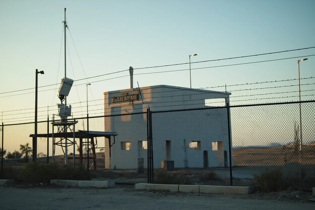
The LCF sites are more visible than silos. They include above-ground support buildings, communication towers, and security fencing. Several decommissioned LCFs near Great Falls are visible from public roads, though access to the properties themselves is restricted.
Active vs. Decommissioned Sites: What You Need to Know
Here’s where visitors often get confused, and I want to be absolutely clear because approaching active military installations incorrectly can lead to serious problems.
Active Sites (Off-Limits)
Montana’s 341st Missile Wing at Malmstrom Air Force Base currently maintains 150 Minuteman III missiles across the region. These sites are active military installations.
You cannot visit them. You cannot photograph them up close. Armed security forces patrol these areas, and trespassing will result in federal charges.
During one of my drives through Chouteau County, I inadvertently turned down a gravel road that led toward an active site. Within two minutes, a white security vehicle appeared behind me. The guard was professional but firm—I needed to turn around immediately. No photographs, no questions.
If you see a site with fresh fencing, maintained roads, communication equipment, and warning signs, assume it’s active and keep your distance. View from public roads only.
Decommissioned Sites (Accessible with Conditions)
Following various arms reduction treaties, 50 Montana silos were decommissioned and destroyed. These sites had their missiles removed, silos imploded or filled with concrete, and security systems dismantled.
Many decommissioned sites now sit on private ranch land. While not technically tourist attractions, several landowners permit respectful visitors. Always ask permission if you want to explore beyond the public road right-of-way.
The surface features at decommissioned sites vary. Some have been completely erased—just a slightly uneven patch of ground where the silo once stood. Others retain concrete structures, fencing, and access roads that make them identifiable.
The Best Sites to Visit on Your Montana Missile Silo Tour
After exploring dozens of sites across multiple trips, I’ve identified the most rewarding experiences for visitors genuinely interested in this history.
Malmstrom Air Force Base Museum and Memorial
Start your journey in Great Falls at the Malmstrom Museum. Located on base but accessible to civilians with proper identification, this museum provides essential context for everything you’ll see in the field.
The museum houses a decommissioned Minuteman II missile, launch equipment, historical photographs, and personal items from the men and women who served in Montana’s missile fields. I spent over two hours here during my first visit, and the docents—many of them veterans—shared incredible first-hand accounts.
Plan to arrive early on a weekday. Weekends can be crowded, and the security check-in process takes time. Bring a valid government ID.
Oscar-Zero Launch Control Facility and November-33 Silo (North Dakota)
I know this technically isn’t Montana, but it’s close enough and important enough that I must mention it. The Ronald Reagan Minuteman Missile State Historic Site near Cooperstown, North Dakota, offers the only fully preserved Minuteman launch control facility and silo open to the public.
If you want to actually go underground and stand where missileers once sat, this is your only option in the region. I made the five-hour drive from Great Falls last summer, and it was absolutely worth it.
The experience is sobering. Standing in that capsule, seeing the launch keys, reading the checklist for initiating nuclear war—it makes the abstract concrete in ways that roadside viewing simply cannot.
Driving Tour: Cascade County Sites
For Montana-specific exploration, I recommend a driving tour through Cascade County. This area contains numerous decommissioned sites visible from public roads.
Start from Great Falls and head north on Highway 87 toward Fort Benton. Along this route, you’ll pass multiple former silo locations. Look for access roads leading to small, fenced areas in otherwise empty fields.
Near Geraldine, I found three decommissioned sites within ten miles of each other. The concrete closure slabs were clearly visible, and rusting equipment remained behind collapsing fences. It felt archaeological—like visiting ruins, except these ruins are younger than I am.
Judith Basin County Back Roads
For a more adventurous exploration, the gravel roads of Judith Basin County offer access to several well-preserved decommissioned sites. I spent an entire day here during my September visit, though I don’t recommend it without a capable vehicle and offline navigation.
The town of Roy makes a good base. Locals are friendly and often happy to share locations of former sites, along with stories from the construction era. The Montana food culinary heritage shows here too—the small cafes serve hearty ranch cooking that sustained missile crews during shift changes.
Practical Planning Information
| Planning Factor | Details |
|---|---|
| Best Season | May through October; many gravel roads become impassable in winter and spring mud season |
| Recommended Duration | 2-3 days to explore Great Falls museums and multiple field sites |
| Base Location | Great Falls offers the best lodging, dining, and services; some visitors prefer Lewiston for a rural experience |
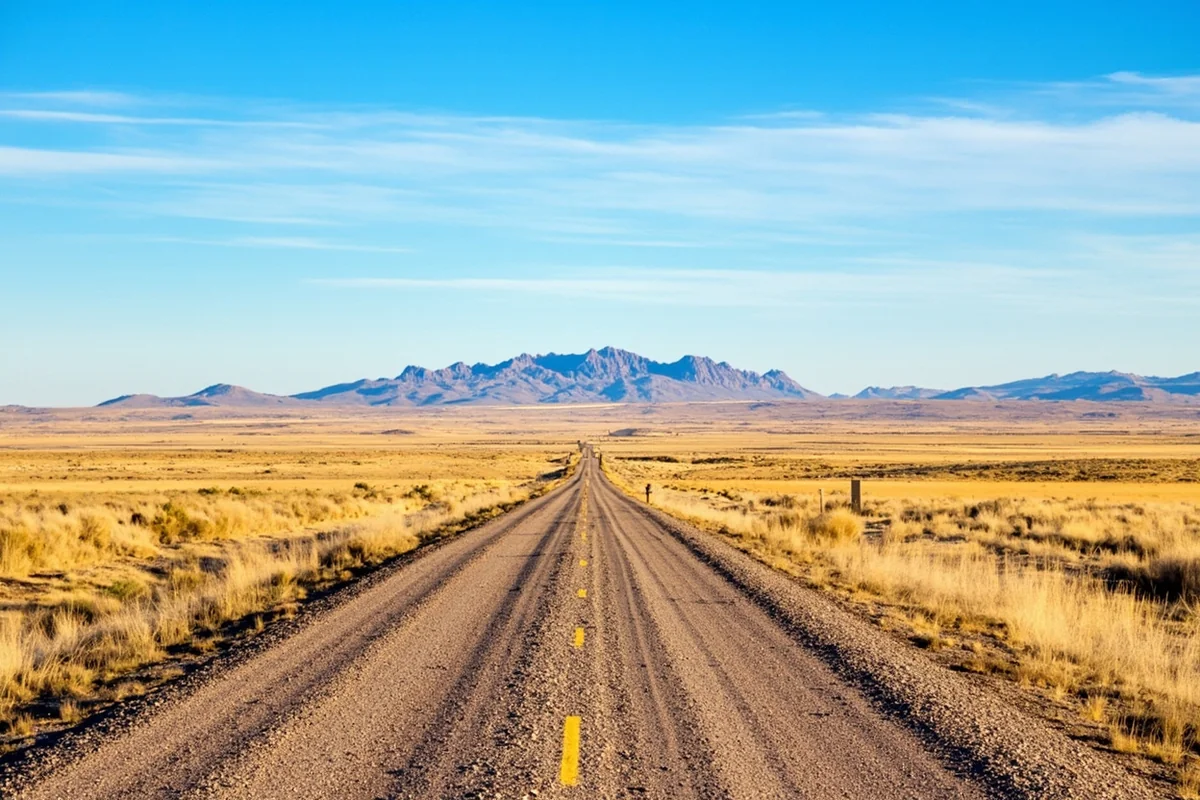
| Vehicle Requirements | High-clearance vehicle recommended for gravel roads; 4WD helpful but not essential in dry conditions |
| Costs | Roadside viewing is free; Malmstrom Museum is free; North Dakota historic site charges $8 admission |
| Cell Service | Extremely limited outside Great Falls; download offline maps before departing |
| Fuel | Fill up in Great Falls or Belt; gas stations are scarce in silo country |
What to Bring
Based on my experiences, pack the following:
- Paper maps or downloaded offline maps—GPS signals can be unreliable, and cell service is nearly nonexistent
- Binoculars for viewing active sites from legal distances
- Camera with a good zoom lens
- Full tank of gas and a spare container if venturing far from paved roads
- Water and snacks—you won’t find convenience stores out here
- Sunscreen and a hat—shade is rare on the prairie
- A healthy respect for private property boundaries
The Human Stories Behind the Silos
What struck me most during my visits wasn’t the engineering or the geopolitics—it was the human element. Thousands of people lived and worked in these fields, carrying responsibilities most of us can barely imagine.
The missileers who pulled 24-hour shifts underground, ready to turn keys that would end civilization. The security forces who patrolled empty prairies through Montana’s brutal winters. The maintenance crews who ensured missiles remained operational despite extreme weather.
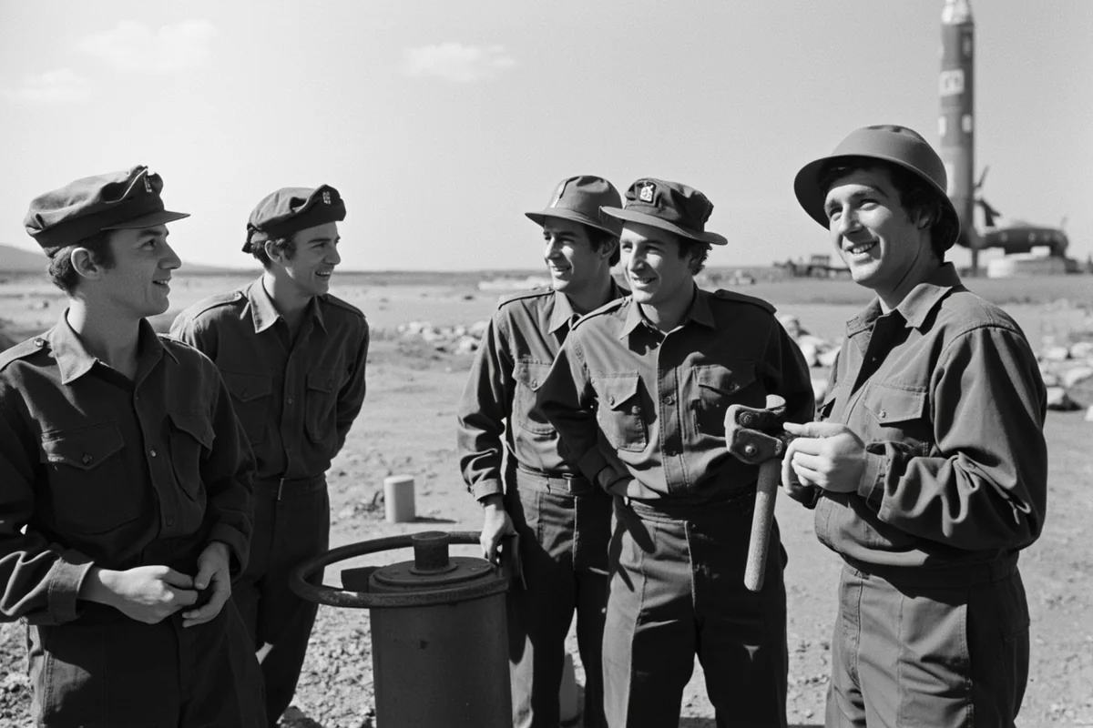
One retired missileer I met at a Great Falls coffee shop described the psychological weight of the job. “You trained for something you prayed you’d never have to do,” he said. “And you lived in a state of readiness that never let up.”
The harsh Montana winter of 1886 devastated cattle ranching, but the winters that missile crews endured posed different challenges. Security patrols continued through -40°F conditions. Maintenance crews worked exposed to wind and cold that could kill within minutes.
This wasn’t glamorous service. It was isolated, psychologically demanding, and relentlessly monotonous punctuated by the ever-present knowledge that everything could change in an instant.
How Decommissioning Works
I found the decommissioning process fascinating, and understanding it helps you interpret what you see at former sites.
Under various arms treaties, decommissioned missiles were removed and either destroyed or repurposed for space launches. The silos themselves underwent “destruction” to treaty specifications—typically by imploding the hardened launch tube and filling it with concrete.
The closure slabs you see at decommissioned sites were designed to be visible to Soviet (later Russian) satellites, providing verification that the sites were truly neutralized. This explains why some concrete caps appear deliberately prominent—they were meant to be seen from space.
Support buildings were demolished, fencing was left to decay, and the land was returned to ranchers who had leased it during the Cold War. Today, cattle graze around the remnants. Wheat grows right up to the fence lines. Prairie reclaims its own.
The Ongoing Mission
Montana’s missile mission continues. The 150 Minuteman III missiles still deployed represent roughly one-third of America’s land-based nuclear deterrent.
These aren’t museum pieces. They’re active weapons, maintained by active military personnel who rotate through Montana from bases across the country. The infrastructure that supported 200 missiles in the 1960s now supports a smaller but still substantial force.
You’ll share the road with military vehicles if you explore this region. White security trucks patrol constantly. Convoys move between sites. Helicopters conduct aerial surveillance.
For those interested in the broader military presence here, I recommend reading about secret military bases in Montana—the missile fields are just one piece of a larger strategic picture.
Combining Your Visit with Other Montana History
A missile silo tour pairs naturally with other historical explorations. The same remoteness that made Montana ideal for nuclear weapons attracted prospectors during the Roaming Montanald Rush, and many small towns you’ll pass through have mining heritage alongside Cold War history.
The legacy of pioneers who settled this land remains visible in abandoned homesteads and ranching communities. The missile era represents another chapter in Montana’s story of people finding purpose in vast, challenging landscapes.
I recommend spending at least part of your trip in Great Falls, exploring both military history and the cultural attractions. The C.M. Russell Museum houses incredible Western art, providing balance to the stark military sites.
Photographing Missile Sites
Photography is permitted at decommissioned sites and from public roads near active installations. However, common sense and legal boundaries apply.
Never photograph active sites up close or from anything other than public roads. Don’t use drones anywhere near active installations—this will trigger immediate security response.
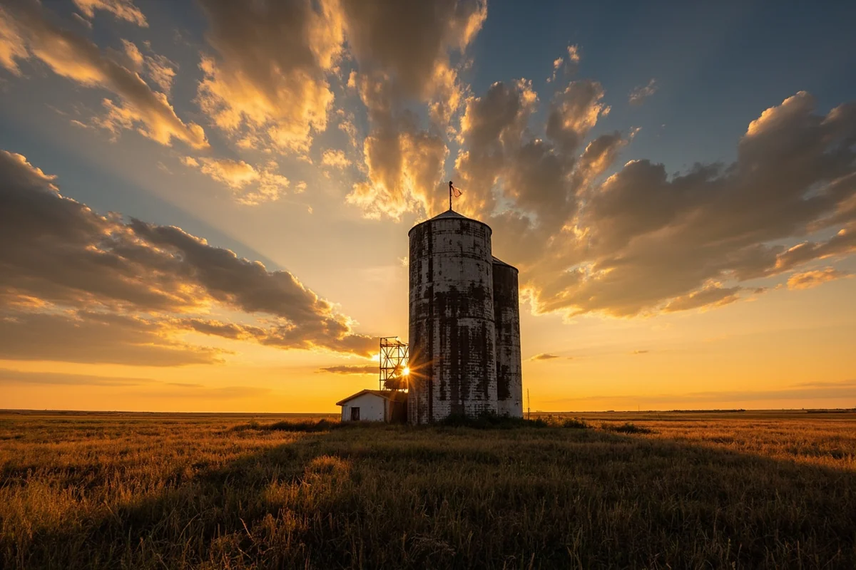
For decommissioned sites, the best photographs capture the contrast between military hardware and pastoral landscape. I like shooting at golden hour when the prairie grass glows and the concrete takes on warm tones.
The emptiness itself photographs powerfully. Wide shots that emphasize the isolation help viewers understand why these locations were chosen and what it meant to serve there.
A Note on Respect and Responsibility
This isn’t a theme park. The sites represent real history, real weapons, and real sacrifice.
I’ve seen disrespectful behavior at decommissioned sites—graffiti, trash, attempts to excavate or souvenir-hunt. Don’t be that person. These locations deserve the same respect you’d show any historical site.
For active installations, maintain safe distances and follow all posted restrictions. Security personnel take their jobs seriously, and interfering with nuclear security—even unintentionally—carries serious consequences.
The communities that host these installations have complex relationships with them. Some residents feel pride in the defense mission. Others carry anxiety about living near nuclear weapons. Many hold both feelings simultaneously.
When talking with locals, be respectful of these nuances. Don’t romanticize nuclear warfare or treat the sites as curiosities divorced from their purpose.
Understanding the Regional Context
Montana’s missile fields exist within a broader landscape shaped by dramatic events—both natural and human-caused. The state has experienced significant earthquakes that tested military infrastructure, and wildfire history that occasionally threatened sites.
The area code 406 covers this entire region, a single code for a state larger than many countries. Even Montana’s name origin speaks to the mountains that frame this prairie landscape where missiles hide underground.
The worst winters in Montana history tested both the missile technology and the people who maintained it. Understanding this climate helps visitors appreciate the dedication required for continuous nuclear readiness.
Even Montana’s prison history intersects with the missile era—construction crews included some from correctional work programs, and the influx of workers created law enforcement challenges in small communities.
The darker chapters of Montana history, including connections to serial killers, remind us that the state’s isolation has attracted different kinds of people seeking escape from oversight—whether military strategists hiding missiles or criminals hiding themselves.
And the underwater history of Montana might seem unrelated, but the geological surveys that mapped ancient lakebeds also helped engineers understand the soil conditions for silo construction.
Recommended Itinerary: Three Days in Missile Country
Based on my multiple visits, here’s how I’d structure a dedicated exploration:
Day One: Great Falls Orientation
Arrive in Great Falls and check into lodging. Spend the afternoon at the Malmstrom Museum, taking time to read everything and talk with docents. This context makes the field visits meaningful.
Evening, explore downtown Great Falls. The Giant Springs State Park offers a peaceful contrast to military history, and several good restaurants provide options for dinner.
Day Two: Cascade County Driving Tour
Start early and head north toward Fort Benton. Pack lunch—you won’t find restaurants where you’re going.
Follow Highway 87 north, then branch onto county roads through missile country. Plan to cover 100-150 miles of driving, stopping frequently to observe and photograph sites.
Return to Great Falls via a different route, perhaps through the town of Belt. The Sun River Canyon provides dramatic scenery if you have remaining daylight.
Day Three: Judith Basin Exploration
Drive southeast to Judith Basin County. The small towns of Hobson, Stanford, and Roy offer glimpses of communities shaped by missile construction.
This area requires more adventurous driving but rewards with well-preserved sites and excellent conversations with locals. Fill your tank before leaving Great Falls.
Return via Highway 87, stopping at any sites you missed on Day Two.
Final Reflections
Leaving Montana after my most recent visit, driving south through the prairies where missiles still stand watch, I found myself profoundly grateful—for the peace that held during the Cold War, for the people who maintained that peace through readiness, and for the landscape itself, which absorbs such heavy history while remaining achingly beautiful.
These sites don’t attract huge crowds. You won’t find gift shops or interpretive centers at most locations. What you will find is genuine history, visible and tangible, demanding thoughtful engagement rather than passive consumption.
The Montana missile silos represent a chapter of American history that most people acknowledge only abstractly. Actually standing above a silo, understanding what rested beneath your feet and what decisions might have been made there, transforms that abstraction into something concrete and haunting.
I encourage you to make this trip. Come prepared with knowledge and respect. Leave with questions that don’t have easy answers—about war, about peace, about the choices nations make and the people who carry those choices forward.
The prairie will still be there, indifferent and eternal. The silos will wait beneath the wheat fields. And you’ll drive away changed, carrying a piece of history most travelers never encounter.
Frequently Asked Questions
Where can I visit Montana missile silos and Cold War launch sites?
The Malmstrom Air Force Base in Great Falls is the center of Montana’s missile history, though active silos aren’t open to the public. However, you can explore the Malmstrom Museum and Heritage Center for free, which features fascinating Cold War exhibits including Minuteman missile displays. Several decommissioned silo sites are scattered across north-central Montana’s plains, and while most are on private land, driving the rural highways gives you a sense of how these nuclear deterrents were hidden across the landscape.
Is there a Montana missile silo museum I can tour?
Yes, the Malmstrom Museum and Heritage Center in Great Falls offers the best accessible look at Montana’s nuclear missile history. I found the exhibits covering the Minuteman program and Cold War tensions incredibly well-documented, with actual missile components on display. The museum is free to visit and open Tuesday through Saturday, though you’ll need a photo ID to enter the base.
How many nuclear missile silos are in Montana and are any still active?
Montana currently hosts approximately 150 active Minuteman III intercontinental ballistic missile silos spread across roughly 20,000 square miles of the north-central region. These are part of the 341st Missile Wing based at Malmstrom AFB and remain fully operational as part of America’s nuclear deterrent. Active sites are strictly off-limits to civilians and surrounded by security measures, so stick to the museum for your Cold War exploration.
What is the best time of year to visit Montana’s missile silo sites and museums?
Late spring through early fall (May to September) offers the most pleasant weather for exploring north-central Montana’s missile country, with temperatures ranging from 60-85°F. Summer months are ideal if you want to combine the museum visit with scenic drives past rural silo locations without battling snow or icy roads. I’d avoid January through March when harsh winter conditions can make remote highway travel challenging.
How far is the Malmstrom missile museum from Glacier National Park?
The Malmstrom Museum in Great Falls is approximately 150 miles southeast of Glacier National Park’s west entrance, making it an easy 2.5 to 3-hour drive. This makes for a perfect day trip or stopover if you’re traveling between Glacier and Yellowstone along Highway 89. I recommend combining both attractions for a Montana itinerary that covers natural beauty and fascinating military history.
Can I photograph Montana missile silos from public roads?
You can photograph decommissioned or marked silo locations from public roads, but I strongly advise against approaching active missile sites or their security fences. Active silos are monitored 24/7 and getting too close will trigger a rapid security response. Stick to designated pullouts and public highways, and never trespass on private ranch land where many silos are located—Montana ranchers take property boundaries seriously.
What should I bring when visiting Montana Cold War missile history sites?
Bring a valid government-issued photo ID for museum entry on Malmstrom AFB, plus a good road atlas or downloaded offline maps since cell service is spotty in rural missile country. I’d pack binoculars for distant silo viewing, plenty of water, and snacks since services are sparse between small towns. Comfortable walking shoes work fine for the museum, but sturdy footwear is smart if you’re exploring any roadside historical markers in the grasslands.
Sources
- https://www.defense.gov/Multimedia/Experience/Americas-Nuclear-Triad/
- https://www.afnwc.af.mil/Weapon-Systems/Minuteman-III-LGM-30G/
- https://www.nps.gov/articles/minuteman-missiles-on-the-great-plains.htm
- https://coldwarheartland.ku.edu/landscapes/rural-missile-sites
- https://commons.wikimedia.org/wiki/File:490th_Missile_Squadron
- https://nara.getarchive.net/media/an-extreme-long-shot-of-a-minuteman-missile
- https://commons.wikimedia.org/wiki/File:10th_Missile_Squadron