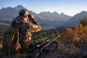
I still remember standing in a gas station parking lot outside Bozeman at 4 AM, my headlamp illuminating a crumpled paper map while I frantically tried to figure out if I was about to cross into Hunting District 311 or 360—two areas with vastly different regulations and tag requirements.
That morning taught me a lesson every Montana hunter eventually learns: understanding the state’s hunting area maps isn’t just helpful, it’s absolutely essential for a legal and successful hunt.
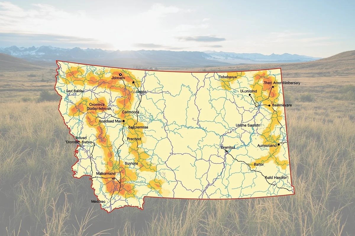
If you’re planning a hunting trip to Big Sky Country, consider this your comprehensive Montana Hunting Guide companion specifically focused on navigating the intricate web of hunting districts that cover the state’s 147,000 square miles.
- Montana divides its hunting land into 900+ numbered districts, each with specific regulations
- FWP’s official online map tool (MyFWP) is free and essential for trip planning
- Hunting districts are grouped into seven administrative regions across the state
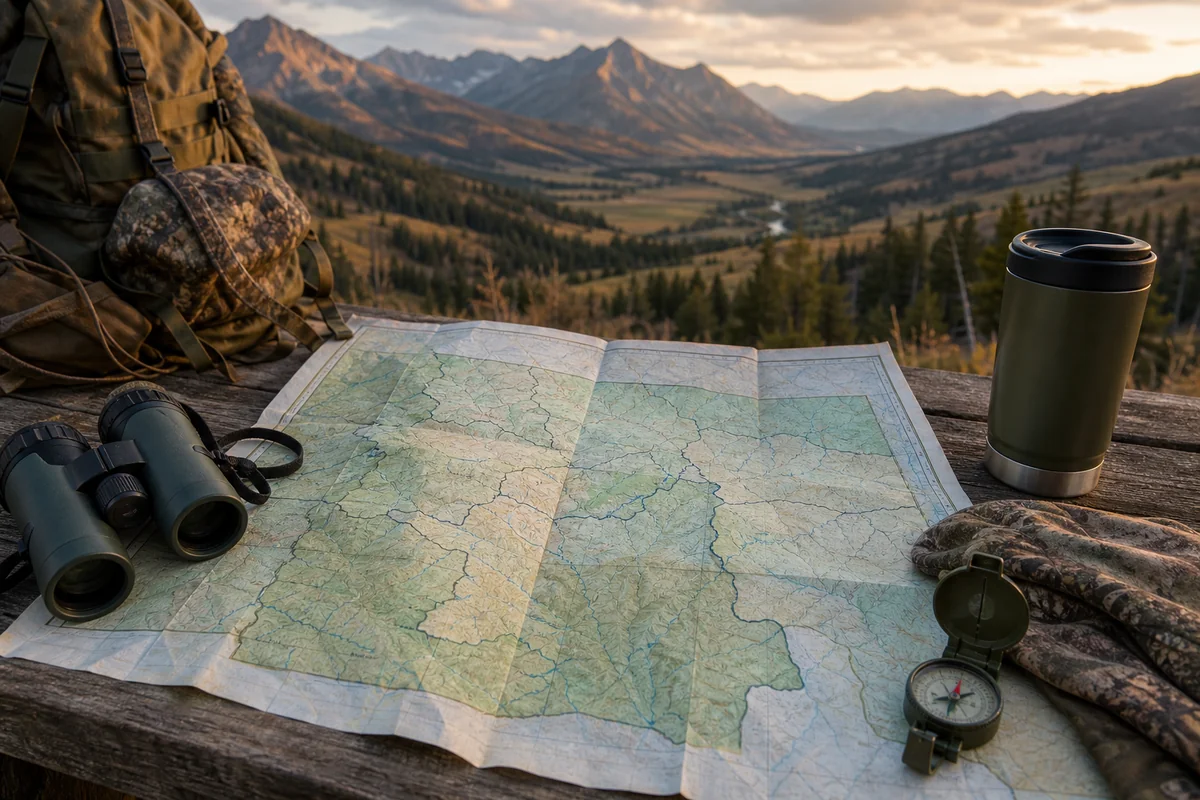
- Paper maps are still crucial as backup—cell service is unreliable in most hunting areas
- District boundaries often follow natural features: rivers, ridgelines, and roads
- Understanding district groupings can dramatically improve your tag application strategy
Why Montana’s Hunting District System Matters
During my first Montana hunt back in 2018, I naively assumed I could simply buy a license and hunt anywhere in the state. I couldn’t have been more wrong.
Montana Fish, Wildlife & Parks (FWP) divides the entire state into over 900 individual hunting districts. Each district has its own set of regulations governing what species you can pursue, what weapons are permitted during specific seasons, and how many animals can be harvested.
This system exists for good reason. Montana’s wildlife management approach is incredibly precise, adjusting harvest levels district by district based on population surveys, habitat conditions, and conservation goals.
For example, when I hunted elk in Montana last fall near the Missouri Breaks, District 410 had general elk tags available over-the-counter, while neighboring District 411 required a limited-entry permit that took me three years of preference points to draw.
The Consequences of Getting It Wrong
I’ve witnessed hunters receive citations for harvesting animals in the wrong district. During the 2022 rifle season, a fellow hunter in our camp shot a nice mule deer buck, only to discover—after the fact—that he’d crossed a district boundary marked by a small creek.
The fine wasn’t cheap, and he lost his hunting privileges in Montana for two years. Game wardens take boundary violations seriously, and “I didn’t know” isn’t a valid defense.
Understanding Montana’s Seven Administrative Regions
Before diving into specific districts, you need to understand how Montana organizes its hunting areas at the regional level.
FWP divides the state into seven administrative regions, each with its own regional office, wildlife biologists, and management priorities. During my years hunting across Montana, I’ve found that understanding these regions helps tremendously with trip planning.
Region 1: Northwest Montana
Headquartered in Kalispell, Region 1 covers the mountainous northwest corner of the state. This is prime country for whitetail deer hunts in Montana, black bear, and mountain lion.
I spent a week in Region 1 districts around the Flathead Valley during the 2021 archery season. The terrain is heavily forested with thick timber—challenging hunting but stunning scenery.
Popular districts here include 100-104 in the Flathead area and 110-124 near the Cabinet Mountains. Access can be tricky due to extensive private land, but the national forest holdings offer solid public hunting.
Region 2: West-Central Montana
Based in Missoula, Region 2 includes some of Montana’s most iconic hunting ground. The Bitterroot Valley, Blackfoot River corridor, and portions of the Bob Marshall Wilderness all fall within this region.
Last September, I hunted District 204 near Seeley Lake and found excellent bear hunting opportunities along with steady elk activity.
This region tends to see higher hunting pressure due to its proximity to Missoula’s population center, but the backcountry areas still offer genuine wilderness experiences.
Region 3: Southwest Montana
Region 3, headquartered in Bozeman, might be Montana’s most famous hunting destination. Districts here encompass the Madison Valley, Gallatin Range, and Paradise Valley along the Yellowstone River.
I’ve hunted Region 3 more than any other, and for good reason. The elk populations are robust, the scenery is world-class, and the public land access is excellent.
Districts 301, 310, 311, and 360 near Bozeman consistently produce quality animals. The area around Ennis (Districts 320-324) offers exceptional mule deer hunting that rivals anywhere in the West.
Region 4: North-Central Montana
Great Falls serves as the headquarters for Region 4, which covers the prairie breaks and mountain front terrain of north-central Montana.
This region is where you’ll find some of Montana’s best antelope hunting and excellent opportunities for mule deer in the breaks country.
Districts 400-417 along the Rocky Mountain Front offer a unique hunting experience where prairie meets mountains. During a 2020 hunt in District 406, I watched elk moving from the high country down onto the plains—a migration pattern unlike anything I’d seen elsewhere.
Region 5: South-Central Montana
Billings-based Region 5 encompasses the Absaroka-Beartooth country, Crazy Mountains, and portions of the Yellowstone River valley.
The districts surrounding the Crazies (Districts 510, 511, 580) are legendary among Montana hunters. When I hunted District 510 last November, the combination of alpine terrain and lower-elevation grasslands created excellent movement patterns.
This region also includes prime upland bird hunting in the agricultural areas around the Yellowstone Valley.
Region 6: Northeast Montana
Region 6, headquartered in Glasgow, covers Montana’s vast northeastern prairie country. This is big, open country with smaller mountain ranges punctuating the grasslands.
The Charles M. Russell National Wildlife Refuge and surrounding districts (620-652) offer excellent hunting for mule deer, antelope, and surprisingly good elk opportunities in the breaks.
I hunted the CMR region during the 2019 rifle season and was struck by how different the experience felt compared to mountain hunting. Long-range glassing and patient stalking are essential skills here.
Region 7: Southeast Montana
Miles City hosts Region 7, covering Montana’s southeastern corner including the Powder River country and portions of the Custer National Forest.
This region features some of Montana’s most underrated hunting. Districts 700-780 offer quality mule deer hunting with significantly less pressure than western Montana.
The bighorn sheep hunting opportunities in the Pryor Mountains (District 780) are exceptional, though tags are extremely limited.
How to Access Official Montana Hunting Area Maps
Now let’s get practical. Here’s exactly how to access and use Montana’s hunting area maps based on my experience navigating these systems over multiple seasons.
The MyFWP Online Map Tool
FWP’s MyFWP mapping system is your primary resource. I use it constantly during both planning and active hunting.
To access it, visit the Montana FWP website and navigate to the “Hunt Planner” or “Maps” section. The interactive tool allows you to zoom into any location in the state and see district boundaries overlaid on aerial imagery.
What I love about this tool: you can toggle between satellite view and topographic view, filter by specific species regulations, and even see Block Management Area locations for additional access.
The search function lets you enter a specific district number or click anywhere on the map to identify which district you’re viewing. During my planning for this year’s deer hunting trip, I spent hours exploring different districts to compare public land availability.
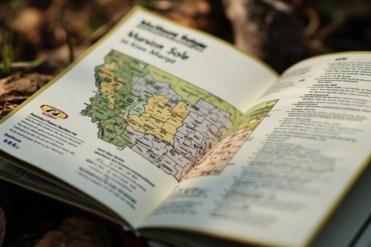
Downloading Printable PDF Maps
FWP publishes printable PDF maps for each region, and I strongly recommend downloading these before your trip.
These regional hunting district maps show all district numbers and boundaries at a scale that’s actually readable. I print copies and keep them in my truck and pack as backup.
The PDFs also include detailed information about access routes, trailheads, and public land boundaries that aren’t always obvious on the digital tool.
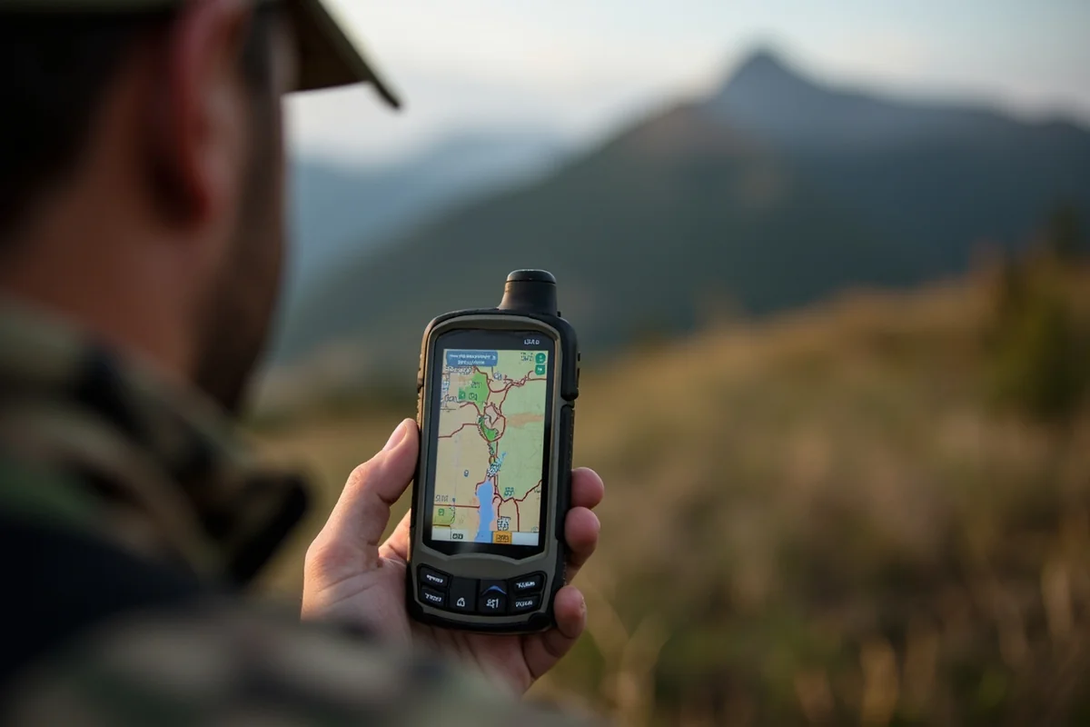
Mobile App Options
Several third-party apps integrate Montana’s hunting district data. OnX Hunt is probably the most popular among Montana hunters, and I’ve used it extensively.
The advantage of apps like OnX is real-time GPS tracking that shows exactly where you are relative to district boundaries. During a hunt in the Bridger Mountains last year, OnX saved me from accidentally crossing into District 312 when I thought I was still in 311.
That said, don’t rely solely on apps. Cell service is spotty or nonexistent in most Montana hunting areas. I always carry paper maps and a GPS unit with downloaded maps as backup.
Physical Map Sources
FWP regional offices typically have printed maps available, and I’ve picked up many over the years during license purchases.
Sporting goods stores in Montana hunting towns—places like Bob Ward’s in Bozeman, Scheels in Billings, or local shops in smaller communities—often stock regional hunting maps and can offer local knowledge about specific districts.
The Montana State Library also maintains an excellent collection of historical and current hunting district maps if you want to research how boundaries have changed over time.
Decoding Montana Hunting District Numbers
Here’s something that took me several seasons to fully understand: Montana’s district numbering system follows a logical pattern once you crack the code.
The Regional Numbering System
District numbers generally correspond to the region where they’re located. Districts starting with “1” are in Region 1, districts starting with “2” are in Region 2, and so on.
Within each region, lower numbers typically indicate areas closer to the regional headquarters or major population centers, while higher numbers are more remote.
For example, District 101 is relatively close to Kalispell in Region 1, while District 190 is in a more remote corner of the same region.
District Groupings and Management Units
FWP often groups adjacent districts for management purposes, especially for elk and deer regulations. You’ll see references to “HD 311-360” or “HD 410, 411, 416, 417” when regulations apply to multiple districts.
Understanding these groupings helps with license application strategy. If your preferred district is hard to draw, neighboring districts in the same management unit often have similar habitat and animal populations with better tag availability.
During my research for a mule deer tag last year, I discovered that District 620 had a draw success rate around 50%, while adjacent District 621—with nearly identical terrain—was closer to 80%.
Special District Designations
Some districts have special designations worth noting. “Administrative” districts (often designated with “00” numbers) have specific management purposes and may be closed to hunting or require special permits.
Wildlife Management Areas (WMAs) sometimes have their own district designations with unique regulations. The Wall Creek WMA near Ennis, for example, operates under different rules than surrounding districts.
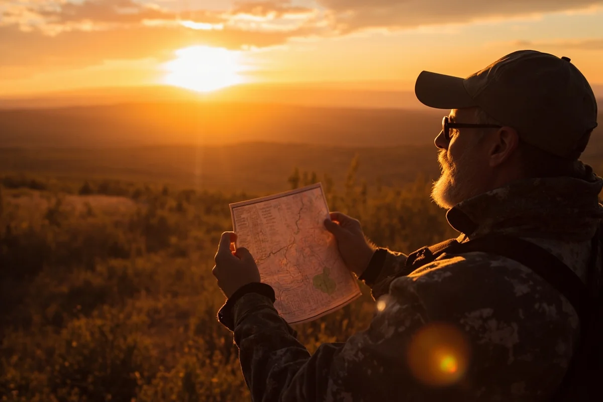
Practical Tips for Using Montana Hunting Maps
After countless hours in the field and many lessons learned the hard way, here’s my practical advice for effectively using Montana’s hunting area maps.
Pre-Trip Planning Strategies
Start your map study weeks before your hunt, not the night before. I typically spend 10-15 hours with maps and aerial imagery before a trip to a new area.
Look for terrain features that concentrate game movement: saddles, water sources, transition zones between timber and meadow. Mark these locations digitally and on paper.
Cross-reference hunting district maps with public land maps. A district might look promising until you realize 80% of it is private land with no access.
Check Block Management Area availability within your target districts. These private land access programs open significant acreage, and you can hunt on Montana state land in addition to BMA properties.
Field Navigation Best Practices
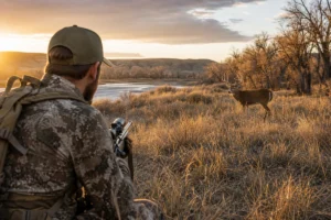
Always know the exact boundaries of your hunting district before leaving camp each morning. I review boundary features (creeks, ridgelines, roads) every day during a hunt.
Physical landmarks trump GPS coordinates. A creek or ridgeline won’t run out of batteries or lose satellite signal. Memorize the natural features that define your district’s boundaries.
When hunting near boundaries, I set GPS waypoints at key crossing points and check my position frequently. One wrong drainage can put you in the wrong district faster than you’d think.
Understanding Boundary Markers
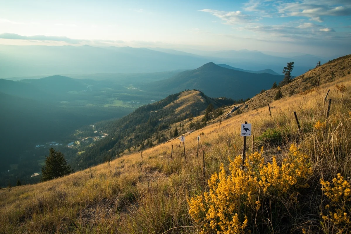
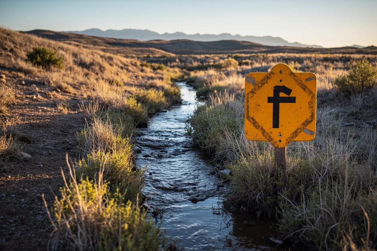
Montana doesn’t physically mark most hunting district boundaries in the field. Unlike state or national forest boundaries, you won’t find signs saying “You are now entering District 360.”
Some boundaries follow obvious features like highways, major rivers, or the Continental Divide. Others follow arbitrary lines that only exist on maps—section lines, lat/long coordinates, or historical survey boundaries.
The most dangerous boundaries are the subtle ones. Small creeks that barely show on maps, low ridgelines that don’t look significant on the ground, or county roads that aren’t well-marked.
Species-Specific Map Considerations
Different game species require different approaches to map study. Here’s how I adapt my map analysis based on what I’m hunting.
Elk Hunting District Strategy
For elk, I focus on districts with a mix of timber cover and feeding areas at various elevations. Elk move seasonally, so understanding how district boundaries relate to migration corridors is crucial.
The hunting seasons heavily influence elk location. Early archery season finds them high; late rifle season pushes them toward winter range at lower elevations.
Some districts allow unlimited general elk tags, while others require limited-entry permits. The difference often comes down to access—hard-to-reach districts tend to have more available tags because hunter pressure naturally limits harvest.
Deer Hunting Map Analysis
Mule deer and whitetails occupy different habitats, and I study maps differently for each species.
For muleys, I look for districts with broken terrain, coulees, and rimrock country. Reviewing deer hunting regulations alongside maps helps identify which districts have antler restrictions or limited permits.
Whitetail maps focus on river bottoms, agricultural edges, and dense cover. The best whitetail districts often straddle private agricultural land and public river corridors.
Waterfowl and Upland Bird Considerations
Duck hunting requires different mapping entirely. I study wetland locations, pothole density, and access points to public waters.
The Central Flyway cuts through eastern Montana, making Region 6 and 7 districts particularly productive for waterfowl. But some of the best swan hunting opportunities are in western Montana’s Pacific Flyway overlap.
Upland bird hunting benefits from maps showing CRP land, stubble fields, and brushy creek bottoms. State lands and Block Management Areas become crucial for accessing pheasant, Hungarian partridge, and sharptail habitat.
Advanced Map Strategies for Serious Hunters
Once you’ve mastered the basics, these advanced strategies can take your Montana hunting success to the next level.
Analyzing Hunter Pressure Patterns
FWP publishes harvest statistics by district, and smart hunters use this data in conjunction with maps.
I overlay harvest numbers onto maps to identify pressure patterns. Districts with easy road access and high harvest numbers get crowded; districts with limited access and moderate harvest might indicate opportunity.
Trailhead parking areas visible on satellite imagery tell you a lot about pressure. During my scout of District 313 last summer, I found three heavily used trailheads on the north side and zero established access points on the south—guess which side I hunted?
Using Historical Maps for Scouting
Comparing current maps with historical imagery reveals important habitat changes. Old logging roads that don’t appear on current maps often still exist and provide access.
Burns visible on older satellite imagery create excellent edge habitat years later. A fire that swept through a district in 2015 might have created perfect elk habitat by now.
I’ve also found that historical hunting district boundaries sometimes reveal management insights. A district that was recently subdivided usually indicates growing game populations that FWP wanted to manage more precisely.
Integrating Weather and Terrain Analysis
Sophisticated hunters combine hunting area maps with weather pattern analysis. Prevailing wind direction, thermal patterns, and storm approach angles all influence game movement.
Terrain maps reveal how animals will move during weather events. The north-facing slopes in District 311 hold snow longer, pushing deer to south-facing aspects earlier in the season—a pattern I’ve used successfully for three consecutive years.

Common Map-Related Mistakes to Avoid
Learn from my errors and those of hunters I’ve observed over the years.
Ignoring Seasonal Changes
District regulations often change by season. A district open for general rifle season might be limited-entry only during archery season, or vice versa.
I’ve seen hunters show up for a hunt only to discover their license wasn’t valid for that particular district during that season. Always verify current Montana hunting regulations for your specific district and season.
The shoulder season adds another layer of complexity, with specific districts designated for extended cow elk harvest.
Underestimating Distance and Terrain
Flat maps lie about steep terrain. A drainage that looks like a half-mile crossing on a map might take two hours of brutal climbing in reality.
I learned this lesson painfully in the Absaroka-Beartooth wilderness, where map distances bear little relationship to actual travel time through cliffy, timbered terrain.
Use contour lines and slope analysis tools before committing to a route. What looks like a reasonable trek on paper might be genuinely dangerous in the field.
Failing to Verify Current Information
District boundaries occasionally change. New wilderness designations, land acquisitions, or management adjustments can alter what you thought you knew.
Always use the current year’s regulations and maps. I keep historical maps for comparison, but I never assume last year’s boundaries are still accurate.
Emergency closures due to fire, flood, or disease outbreaks can temporarily change district access. Check FWP alerts before heading into the field.
Essential Resources and Where to Find Them
Here’s my curated list of resources for Montana hunting map research.
| Resource | What It Provides | Cost |
|---|---|---|
| FWP MyFWP Tool | Official district boundaries, regulations, harvest data | Free |
| OnX Hunt App | GPS tracking, offline maps, landowner information | $30/year for MT |
| Gaia GPS | Topographic maps, route planning, waypoint management | Free basic / $40 premium |
| USGS Store | 7.5-minute topographic maps | $15-20/map |
| Montana Cadastral | Land ownership, section lines | Free |
Before heading out, make sure you understand hunting license costs and have secured your Montana hunting license well in advance.
Putting It All Together: A Map-Based Hunt Planning Process
Here’s the systematic process I follow when planning a Montana hunt, refined over years of trial and error.
Step 1: Identify Target Districts
Based on your target species, available tags, and travel logistics, narrow your focus to 3-5 potential districts. Research harvest statistics, draw odds, and access options for each.
Step 2: Deep-Dive Map Study
For each candidate district, spend at least two hours with maps and satellite imagery. Identify public land blocks, access points, terrain features, and potential camp locations.
Step 3: Ground-Truth When Possible
If you can scout before the season, validate your map study on the ground. Roads shown on maps might be gated; promising terrain might be thick blowdown.
Step 4: Develop Primary and Backup Plans
Create detailed hunt plans for your primary district and at least one backup option. Weather, fire, or unexpected crowding might force a change.
Step 5: Prepare Navigation Redundancy
Download digital maps for offline use. Print paper maps at usable scales. Mark critical boundaries on your GPS. Never rely on a single navigation method.
Final Thoughts on Navigating Montana’s Hunting Areas
Mastering Montana’s hunting area maps transforms you from a visitor into a serious hunter capable of finding success in Big Sky Country.
The system seems overwhelming at first—over 900 districts with constantly evolving regulations. But once you understand the logic behind the organization, everything falls into place.
I’ve spent more time with Montana hunting maps than I care to admit. That investment has paid dividends in filled tags, incredible experiences, and the quiet confidence that comes from knowing exactly where I am and what I’m legally allowed to do.
Whether you’re planning your first Montana hunt or your fiftieth, approach the mapping process with patience and thoroughness. The animals don’t care whether you understand the boundary system, but the game wardens certainly do.
Beyond big game, Montana offers incredible specialty hunting opportunities. The muzzleloader season provides unique timing, while specialty permits for wolf, buffalo, and small game can round out a Montana hunting trip.
Take the time to truly understand the maps. Your success—and your legal standing—depends on it.
Frequently Asked Questions
How do I read and use a Montana hunting area map effectively?
Montana’s hunting district maps divide the state into numbered regions, each with specific regulations and season dates. I recommend downloading the official FWP hunting district maps and cross-referencing them with the current regulations booklet to understand boundaries, access points, and which species are legal to harvest in each area.
Where can I find free Montana hunting unit maps for trip planning?
The Montana Fish, Wildlife & Parks website offers free downloadable hunting district maps in PDF format, and their interactive MyFWP map tool lets you explore boundaries, public land access, and block management areas. I also use onX Hunt and HuntStand apps which overlay hunting units on topographic maps for about $30-100 annually.
What are the best Montana hunting regions for out-of-state hunters?
Regions 3, 4, and 7 are popular among visiting hunters due to abundant public land access and healthy elk and mule deer populations. I’ve found that hunting districts in central Montana offer less pressure than the famous areas near Bozeman, and non-resident licenses cost between $550-1,050 depending on the species you’re pursuing.
When is the best time to visit Montana for hunting season?
General rifle season typically runs from late October through late November, which I consider prime time for deer and elk hunting. Archery seasons open in early September, offering warmer weather and bugling elk, while the rut activity peaks mid-November making it ideal for trophy hunters willing to brave colder temperatures.
How much does a Montana hunting trip cost for non-residents?
Budget around $2,000-4,500 for a DIY Montana hunting trip, including non-resident elk/deer combo licenses ($1,050), lodging ($80-150/night), fuel, and gear. Guided hunts range from $4,000-8,000 for deer to $6,000-12,000 for elk, which includes access to private land and expert knowledge of specific hunting units.
What gear should I pack for hunting Montana’s backcountry areas?
I always pack layered clothing rated for temperatures from 20-60°F, quality waterproof boots broken in for mountain terrain, and a GPS device preloaded with Montana hunting unit boundaries. Essential items include bear spray for grizzly country, a reliable optic for glassing vast terrain, and a detailed topographic map as backup since cell service is spotty across most hunting districts.
How do I find public land access points on Montana hunting maps?
Montana’s Block Management Program opens over 7 million acres of private land to public hunting, and access points are marked on FWP maps and require free permits. I use the Montana Public Land Access Guide alongside hunting unit maps to identify walk-in areas, trailheads, and legal corner-crossing routes to reach landlocked public parcels.