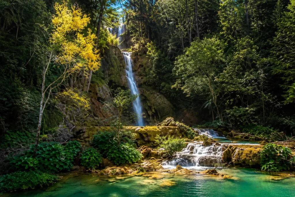
Most waterfalls have centuries of names and maps behind them. Paradise Falls, Montana is different — it didn’t officially exist on paper until October 3, 2007, when the Montana Geographic Names Committee voted to give this hidden cascade its name. Before that date, it was just water falling through forest that almost nobody visited. That anonymity is still largely intact today, which is exactly the point.
I understood why this hidden gem remains one of the most sought-after destinations among Montana waterfalls enthusiasts who crave authentic wilderness experiences over crowded tourist stops.
- Paradise Falls, Montana refers primarily to a waterfall in Helena National Forest, Lewis and Clark County, accessed via Dead Man Road and Dead Man Creek — named in 2007 with no maintained hiking trail.
- The town of Paradise, Montana (Sanders County, Clark Fork River corridor) is a separate but related travel destination associated with this waterfall by name, home to Quinn’s Hot Springs Resort and surrounded by scenic northwestern Montana.
- The keyword “paradise falls” is dominated nationally by California’s Wildwood Park version (Thousand Oaks, 3,600+ AllTrails reviews). This guide covers the Montana version specifically.
- Best visited May–September; requires a partner, GPS, and emergency supplies; access is off-trail and unmarked.
- Combine with Quinn’s Hot Springs for an ideal northwestern Montana overnight.
Searching for a different Paradise Falls? This guide is for Paradise Falls, Montana. If you’re looking for Paradise Falls in California (Wildwood Regional Park, Thousand Oaks), Paradise Falls in North Carolina (Nantahala National Forest, Tuckasegee), Paradise Falls in Wyoming (Bighorn National Forest), or the Fallout 3 video game location, jump to the disambiguation section near the bottom. This post covers the Montana waterfall.
Liked this article?
Add Roaming Montana as a preferred source so you see more of our articles and guides on Google.
Montana’s Paradise Falls at a Glance
| Location | Helena National Forest, Lewis and Clark County, Montana |
|---|---|
| Watershed | Left Hand Fork of Dead Man Creek |
| Access road | Dead Man Road, Helena National Forest |
| Route | ~0.5 miles upstream from Dead Man Creek junction |
| Trail type | No maintained trail — unmarked off-trail approach |
| Difficulty | Moderate (terrain, navigation, no markers) |
| Named | October 3, 2007 — Montana Geographic Names Committee |
| Previously | Nameless until 2007 |
| Best season | May–September |
| Permit | No |
| Cell service | None |
| Requirements | GPS device, hiking partner, emergency supplies |
| Nearest hot springs | Quinn’s Hot Springs Resort, Paradise, MT (~30 min by car) |
The Story Behind the Name
Most Montana waterfalls carry names that date to the 19th century — miner’s names, homesteader’s names, Indigenous place names.
Paradise Falls is an outlier. As recently as 2006, this waterfall had no official name at all. It was a local feature known to a handful of people in Lewis and Clark County, flowing through Helena National Forest without any formal designation.
In 2007, the Montana Geographic Names Committee — the body that administers the official naming of geographic features across the state — held a vote on the waterfall. On October 3, 2007, the name “Paradise Falls” was formally adopted.
It is one of the more recently named significant waterfalls in Montana, which explains why coverage of it remains sparse even today: the trail guides, alltrails entries, and tourism brochures haven’t caught up with a waterfall that’s been named for under two decades.
That youth in naming reflects a genuine wildness. Paradise Falls sits in Helena National Forest in Lewis and Clark County, accessed via Dead Man Road and Dead Man Creek — names that carry their own character. There is no maintained trail to the falls.
Reaching them requires following the Left Hand Fork of Dead Man Creek approximately half a mile upstream from where it meets Dead Man Creek. The route involves uneven terrain, stream crossings, and navigation without marked junctions. It is not a casual stroll.
This is, in short, a waterfall that rewards the curious and the prepared — and turns back the unprepared quickly.
Getting to Paradise Falls, Montana
The short version: Dead Man Road in Helena National Forest, Lewis and Clark County. Follow Dead Man Creek upstream to the Left Hand Fork, then continue upstream approximately 0.5 miles.
The longer version with context: Dead Man Road is a forest road in Helena National Forest, accessible from the Lewis and Clark County area west/southwest of Helena. The drive to the road’s start is paved; the forest road itself is unpaved and subject to seasonal conditions — rough after rain, rutted in spring, generally passable to high-clearance vehicles in summer.
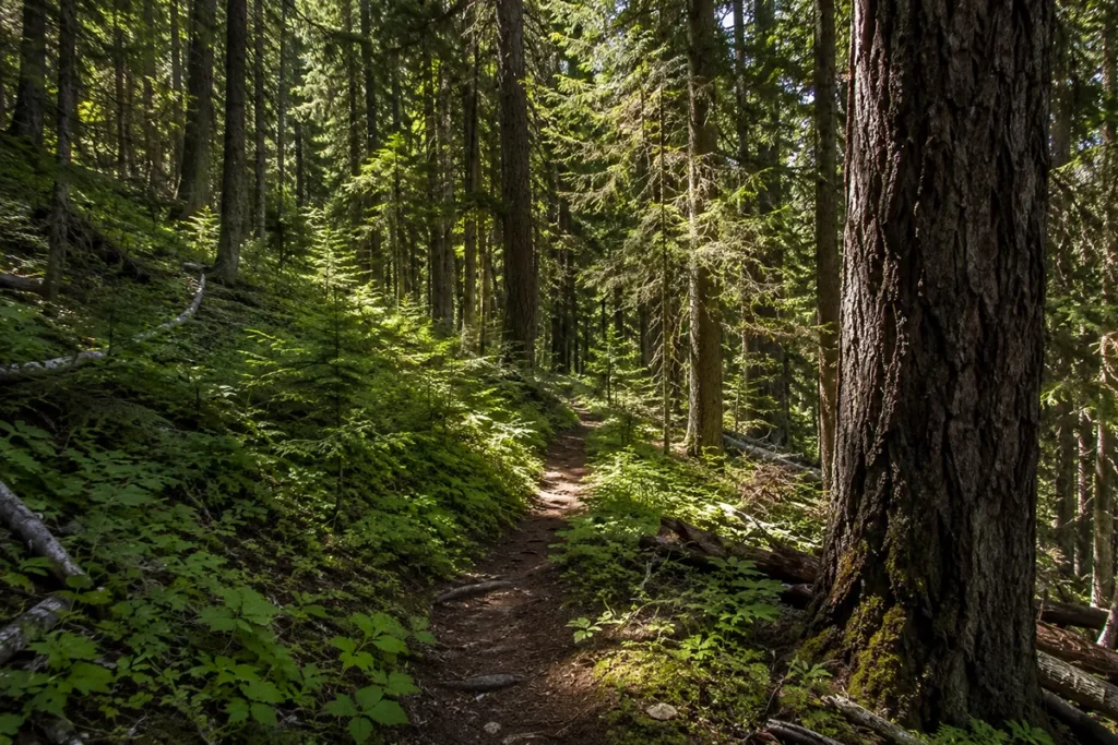
There is no formal trailhead for Paradise Falls. Parking near the road is the standard approach; from there, hikers follow the Left Hand Fork of Dead Man Creek upstream. The creek itself serves as the primary navigation guide — stay with the water.
Important: Download offline maps and GPS coordinates before leaving cell service range. Coverage ends well before you reach the forest road. Take a screenshot of the satellite view showing the creek junction and your target direction.
[Current road conditions: Contact the Helena Ranger District, Helena-Lewis and Clark National Forest, before your trip. Seasonal road closures apply.]
What to Expect on the Approach
Because there is no marked trail, every visit to Paradise Falls is slightly different — the “path” is wherever previous hikers have walked and the creek banks allow. A few consistent elements from those who have visited:
The creek crossing situation. You will cross water. How many times and how challenging those crossings are depends entirely on the season and recent precipitation. Late June snowmelt makes every creek crossing more serious. Mid-August low water makes crossings trivial. Bring trekking poles regardless.
The forest character. Helena National Forest in this area is dominated by Douglas fir and mixed conifer — cooler, shadier, and more sheltered than the exposed ridgelines nearby. This works in your favor on hot summer days but also means the trail stays wetter longer after rain.
The half-mile upstream walk. Once you’ve located the Left Hand Fork of Dead Man Creek and its junction with Dead Man Creek, the falls are approximately 0.5 miles upstream. This is the key navigation point — the junction of the two creeks. From there, follow the Left Hand Fork, keeping water in earshot and generally moving uphill.
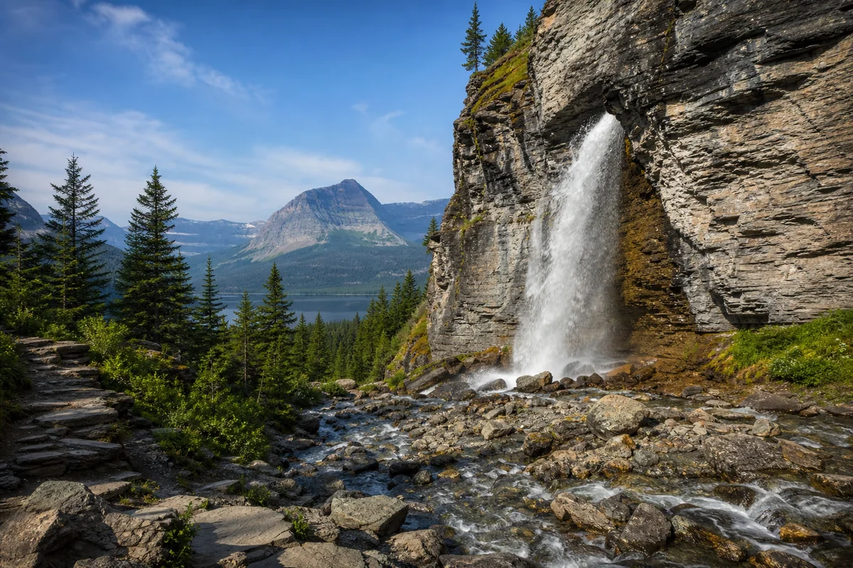
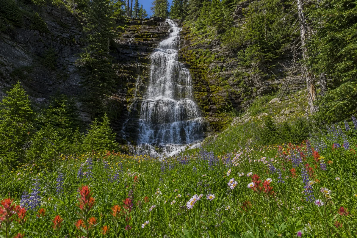
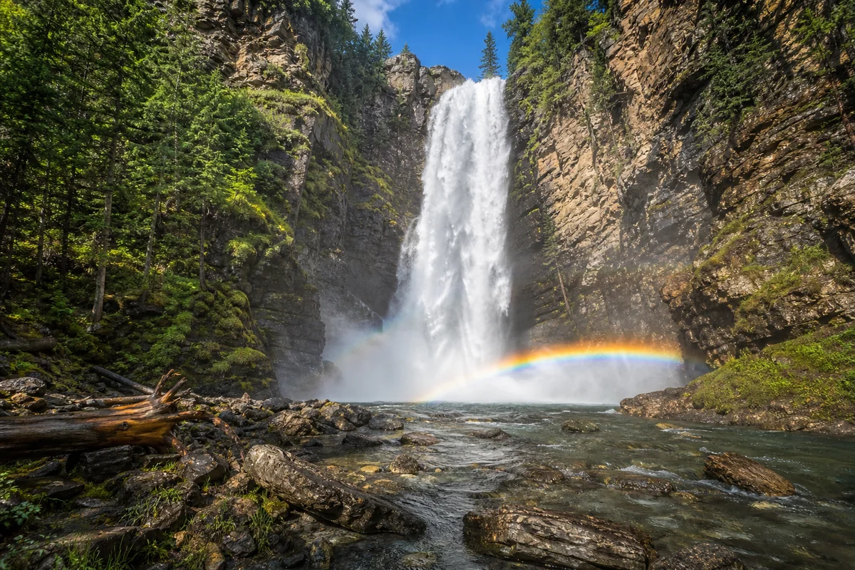
What you’ll find at the base. The falls drain into a pool described by those who’ve visited as tranquil — calmer and more intimate than the thundering cascades of more popular Montana waterfall destinations. The setting is secluded forest, likely with no other visitors present.
Navigation is the challenge, not the distance. The total approach is short — under a mile each way. The challenge is finding and staying on the right line without trail markers. This is why a GPS device and a hiking partner are genuinely non-optional, not just recommended precautions.
Best Time to Visit Paradise Falls Montana
May–June (Peak Flow, Challenging Access): Snowmelt from the surrounding Helena National Forest hills creates the strongest water flow. The pool at the base will be at its fullest. However, creek crossings are more demanding and Dead Man Road may be soft and muddy in early May. High-clearance is essential. Check road conditions with the ranger district first.
July–August (Best Conditions): The forest road dries and firms up. Creek crossings become easier. Water flow is still good through July. August sees a gradual reduction in volume. This is when the approach is most accessible and conditions most forgiving. Bug season peaks in June and July — see my Montana bug season guide before planning a June visit.
September (Fall Character): Western larch in the surrounding mountains turn brilliant gold in late September — one of Montana’s most underrated autumn spectacles. Water flow will be lower, but the visual setting compensates. Fewer insects. Cooler temperatures. This is a legitimate second-best window.
October–April (Not Recommended): The forest road closes or becomes impassable with snow. Avalanche risk increases in adjacent terrain. Unless you have winter backcountry experience and appropriate gear, wait for the seasonal opening.
For broader Montana seasonal planning, see my best time to visit Montana guide.
What to Bring: A Realistic Checklist
Standard short hike gear doesn’t quite cut it for Paradise Falls. The unmarked approach and remote forest setting require more preparation than a signed trailhead with a maintained path.
Non-negotiable:
- GPS device with downloaded offline maps (phone GPS works only with pre-cached maps; cell service is absent)
- Hiking partner — solo off-trail navigation in Helena National Forest is inadvisable
- Bear spray — this is active bear country in both black bear and grizzly range
- Water and water treatment (filter or tablets) — the creek looks clear but treat all backcountry water
- First aid kit including moleskin, antiseptic, and emergency blanket
- Navigation backup — paper topo map as GPS battery backup
Strongly recommended:
- Trekking poles for creek crossings
- Waterproof hiking boots — you will get wet feet at some point
- Layers — forest shade and mist keep the waterfall area significantly cooler than the trailhead
- Snacks for energy on the return
- Emergency whistle
- Charged external battery pack
The Clark Fork River Corridor: The Other “Paradise” in Montana
The town of Paradise, Montana sits in Sanders County along the Clark Fork River, reached via I-90 west to Exit 47 at St. Regis, then north on MT-135 for approximately 20 miles along the river.
This is a different geographic area from the Lewis and Clark County Paradise Falls above — but it’s closely associated in search results and travel planning because the name overlap is natural.
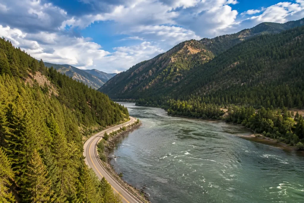
The Clark Fork River corridor between St. Regis and Paradise is one of the most scenic river drives in northwestern Montana.
MT-135 follows the Clark Fork through a forested canyon, with the river frequently visible and small communities appearing every several miles. The town of Plains sits about 15 miles north of Paradise. Thompson Falls is further along the corridor.
For visitors primarily interested in the Sanders County / Paradise town area rather than the Helena National Forest waterfall, the landscape offers its own rewards:
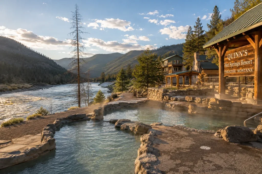
Quinn’s Hot Springs Resort sits right on the Clark Fork in Paradise, MT — one of the most celebrated hot springs destinations in the state. The mineral pools are fed by natural geothermal water and set against the river and surrounding mountains.
If you’re in this part of Montana, Quinn’s deserves significant time. See my Quinn’s Hot Springs guide for what to expect, pool details, and reservation strategy.
The Clark Fork River itself offers excellent fishing — cutthroat and bull trout hold in the deeper pools throughout the corridor. A Montana fishing license is required; check current regulations with Montana FWP.
Thompson Falls (the waterfall, not just the town) is accessible along this same corridor — a short walk from the Thompson Falls dam area. See my Thompson Falls guide for trail details.
Wild Horse Hot Springs is another thermal option in this part of Sanders County, less developed than Quinn’s but popular with locals. See my Wild Horse Hot Springs guide for current access and what to expect.
Combining Paradise Falls with a Montana Hot Springs Trip
The best way to visit the Paradise Falls / Clark Fork area is as part of an overnight hot springs trip. This is how most Montana-based travelers approach this region, and it’s the right call.
Day 1: Drive MT-135 north from St. Regis into the Clark Fork corridor. Stop at the Paradise area for lunch and a walk along the Clark Fork. Check in at Quinn’s Hot Springs Resort in the afternoon — evening pools are the main event.
Day 2 (Morning): Depending on which Paradise Falls you’re targeting — if the Helena National Forest version, you’ll need to factor in the drive back east toward Lewis and Clark County (this is a separate trip segment). If you’re primarily doing the Clark Fork corridor, use this morning for the Clark Fork River trail hike or a drive to Thompson Falls.
For those specifically targeting the Helena National Forest Paradise Falls: This is best done as a separate Helena-area day trip. Dead Man Road and Dead Man Creek are in Lewis and Clark County, significantly east of the Sanders County corridor. Combining both in one trip requires either an overnight in Helena or a very early departure from the Clark Fork area.
Lolo Hot Springs — on the return drive from the Clark Fork corridor back toward Missoula — makes an excellent final stop. See my Lolo Hot Springs guide for current pool details and pricing.
For a comprehensive look at Montana’s geothermal options, my Montana hot springs guide covers the full state inventory.
Montana Waterfalls to Combine With Paradise Falls
If you’re building a waterfall-focused Montana itinerary, the northwestern region offers several strong options within range of the Clark Fork corridor.
Kootenai Falls (Lincoln County) — The largest undammed stretch of the Kootenai River plunges through a dramatic gorge. Accessible from a suspension bridge. One of the most powerful waterfall experiences in Montana. See my Kootenai Falls guide.
Morrell Falls (Seeley Lake area) — A more substantial maintained trail leads to a spectacular 90-foot plunge deep in the Bob Marshall Wilderness boundary. Significantly more visitor-friendly than Paradise Falls. See my Morrell Falls guide.
Thompson Falls (Sanders County, same corridor) — On the Clark Fork River, with a short accessible trail from a viewpoint near the dam. Strong flow in spring. See my Thompson Falls guide.
For the full Montana waterfall inventory, see my Montana waterfalls guide.
Safety for Paradise Falls (Non-Negotiable Points)
This is not a maintained trail. These precautions are not boilerplate — they reflect the actual conditions of an unmarked off-trail approach in Lewis and Clark County.
Always hike with a partner. An ankle injury on an unmarked route in Helena National Forest with no cell service is a serious situation. A solo hiker who gets hurt has limited options. This is non-negotiable.
GPS with offline maps, not just phone navigation. Phone GPS requires pre-cached maps. Without cell service, Google Maps and Apple Maps are non-functional for navigation. Download a topographic map of the Dead Man Creek drainage before you leave pavement. Apps like Gaia GPS and AllTrails allow offline download of trail maps.
Tell someone where you’re going and when to expect you back. Leave a physical note in your car at the trailhead with your planned route and return time. This is the most important search-and-rescue tool for remote Montana locations.
Bear spray, accessible. Not in your pack — on your hip, clipped and ready. Lewis and Clark County has active grizzly range in portions of the national forest. Black bears are widespread. This applies to every Montana backcountry location.
Check the road before driving out. Dead Man Road is a forest road subject to seasonal closure and post-storm damage. Call the Helena Ranger District for current conditions before a long drive. A washed-out road that traps your vehicle is a far worse outcome than a postponed hike.
What I Wish Someone Had Told Me Before Visiting
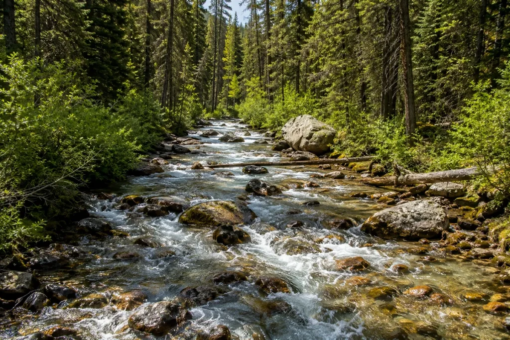
The ‘trail’ is the creek. There’s no beaten dirt path to Paradise Falls. The most reliable navigation strategy is to find the water and follow it upstream. When the Left Hand Fork of Dead Man Creek appears, you turn there. The falls are at the end of the water.
Start the GPS tracking before you leave the car. The most disorienting moment on unmarked approaches is finding your way back. If you’ve been recording your route, return navigation is simple. If you haven’t, the forest has a way of looking identical in every direction.
The drive on Dead Man Road takes longer than the map suggests. Forest roads require slower speeds than paved roads. What looks like 5 miles on a map might take 20–25 minutes. Factor this into your day — starting later than 9 AM in summer means arriving at the waterfall in peak afternoon heat and rushing the return hike.
Quinn’s Hot Springs is worth the extra night. If you’re driving more than 2 hours to reach this part of Montana, make it an overnight at Quinn’s. The hot springs in the evening after a day of hiking are the kind of experience that makes a trip memorable. See my Quinn’s Hot Springs guide.
The area around Paradise, MT is beautiful in its own right. Even if the off-trail waterfall approach seems too ambitious, the Clark Fork corridor is worth the drive. The scenery on MT-135, the river, and the small communities have a quiet, authentic northwestern Montana character that the tourist-heavy destinations don’t.
June has mosquitoes. The forested creek corridors of Helena National Forest are prime mosquito habitat in June. Head net, DEET, and long sleeves. July is still buggy but better. August is the best window for insects. See my Montana bug season guide.
Practical Information Summary
| Detail | Information |
|---|---|
| Primary location | Helena National Forest, Lewis and Clark County, MT |
| Access | Dead Man Road → Dead Man Creek → Left Hand Fork |
| Distance to falls | ~0.5 miles upstream from creek junction |
| Trail type | No maintained trail — off-trail creek navigation |
| Named | October 3, 2007 (Montana Geographic Names Committee) |
| Permit | Not required |
| Fee | None |
| Cell service | None — download offline maps before departing |
| Nearest town | [verify nearest service town via Helena Ranger District] |
| Nearest hot springs | Quinn’s Hot Springs, Paradise, MT (~30 min from Sanders County) |
| Best months | July–August (conditions); May–June (peak flow) |
| Required gear | GPS, partner, bear spray, water treatment, first aid |
| Road conditions | Contact Helena Ranger District before visit |
Disambiguation: “Paradise Falls” Across America
Because the keyword “paradise falls” returns competing results from several states and even a popular video game, here’s a quick reference for searchers who landed here looking for something else:
Paradise Falls, Montana (This Guide)
Helena National Forest, Lewis and Clark County. Named October 3, 2007. Access via Dead Man Road and Dead Man Creek. No maintained trail — off-trail approach along the Left Hand Fork. Remote, quiet, genuinely undiscovered by mass tourism. Partner and GPS required.
The town of Paradise, Montana (Sanders County, Clark Fork River) is a separate but nearby area associated with this waterfall by name, home to Quinn’s Hot Springs Resort and accessible via I-90 Exit 47 at St. Regis, then north on MT-135.
Paradise Falls, California (Wildwood Regional Park, Thousand Oaks)
The dominant “paradise falls” search result nationwide. A 40-foot waterfall on the Arroyo Conejo in Wildwood Regional Park, reached via several routes including the 2.9-mile Mesa/Teepee/Moonridge loop. Extremely popular — AllTrails has 3,600+ reviews. Free parking. Dogs and bikes welcome. Flows year-round (partly fed by street runoff). Near Los Angeles; family-friendly. This is not in Montana.
Paradise Falls, North Carolina (Nantahala National Forest)
A 100-foot waterfall in a slot canyon near Tuckasegee, NC in Nantahala National Forest. Only 0.4 miles round trip but considered challenging due to steep, technical descent with ropes installed. Swimming allowed at the base. Near Wolf Creek Dam. AllTrails has 560+ reviews. This is not in Montana.
Paradise Falls, Wyoming (Bighorn National Forest)
A moderate 1.6-mile hike near Big Falls in Bighorn National Forest. 452 feet elevation gain. Beautiful pine forest and meadow setting. Water shoes recommended for the slide area. AllTrails has 300+ reviews. This is not in Montana.
Paradise Falls (Fallout 3, Video Game)
A fictional location in Bethesda’s 2008 RPG. A pre-war shopping mall converted to a slaver settlement in the post-apocalyptic Capital Wasteland. Led by Eulogy Jones. This is not a real place. If you’re here by mistake from searching Fallout game content, try the Fallout Wiki.
Conclusion
Paradise Falls, Montana is genuinely worth tracking down — not because it’s the most spectacular waterfall in the state (several top it on spectacle), but because it embodies something increasingly rare: a waterfall that most visitors won’t find.
Named barely two decades ago, accessed without a maintained trail, located in a corner of Helena National Forest that doesn’t appear on standard tourist maps. The effort filters out the casual visitor and rewards the prepared one with genuine solitude.
Pair it with the Clark Fork River corridor, a night at Quinn’s Hot Springs, and the scenic drive through Sanders County, and you have a northwestern Montana trip that most Montana visitors will never experience. That’s the point.
Questions about Paradise Falls or the Clark Fork corridor? Drop them in the comments.
Frequently Asked Questions
Where exactly is Paradise Falls in Montana?
Paradise Falls in Montana is located in Helena National Forest, Lewis and Clark County. It is accessed via Dead Man Road and Dead Man Creek — specifically, the falls sit approximately 0.5 miles upstream along the Left Hand Fork of Dead Man Creek from the junction with Dead Man Creek. There is no maintained trail; the approach follows the creek itself. Contact the Helena Ranger District for current road conditions and directions to Dead Man Road before your visit.
Is Paradise Falls, Montana the same as the one near Paradise, MT?
No — these are two distinct geographic areas that share the “paradise” name. Paradise Falls proper is in Lewis and Clark County, in Helena National Forest near Dead Man Creek. The town of Paradise is in Sanders County along the Clark Fork River (I-90 Exit 47 at St. Regis, north on MT-135) — a separate area with its own character and attractions, including Quinn’s Hot Springs Resort. Both are worth visiting but require different directions.
When was Paradise Falls, Montana officially named?
October 3, 2007 — the Montana Geographic Names Committee formally adopted the name “Paradise Falls” for this waterfall. Before that date, the falls were nameless on official records. This makes it one of the more recently named significant waterfalls in Montana, which explains why trail documentation and visitor coverage remain sparse.
Is there a maintained hiking trail to Paradise Falls?
No. There is no maintained, signed hiking trail to Paradise Falls in Montana. The approach follows an informal route along the Left Hand Fork of Dead Man Creek, approximately 0.5 miles upstream from the Dead Man Creek junction. This is an off-trail adventure requiring a GPS device with offline maps, a hiking partner, and appropriate backcountry preparedness. It is not suitable as a casual walk.
How difficult is visiting Paradise Falls Montana?
The physical distance is short (under a mile each way), but the difficulty comes from navigation, not endurance. Without a maintained trail or markers, the route requires active navigation via GPS and creek-following. Creek crossings add technical difficulty, especially during spring snowmelt (May–June). The falls are appropriate for fit hikers with backcountry experience and navigation skills, but not for casual day-hikers expecting a marked path.
What is the best time of year to visit Paradise Falls Montana?
July and August offer the best balance of accessible road conditions, manageable creek crossings, and reasonable water flow. May and June deliver peak water flow but wetter, muddier conditions. September is excellent for fall color in the surrounding larch forests, though water volume decreases. The forest road is typically closed or impassable from late October through late spring.
Is there an entrance fee to visit Paradise Falls Montana?
No entrance fee is required to visit Paradise Falls in Helena National Forest. There is no trailhead fee or park admission. The forest road and adjacent land are managed by the Helena-Lewis and Clark National Forest. Dispersed recreational use follows standard Leave No Trace and national forest regulations.
What should I bring for Paradise Falls Montana?
Because there is no maintained trail, the packing list goes beyond a standard day hike: a GPS device with pre-downloaded offline maps (mandatory — no cell service), a hiking partner, bear spray worn accessibly on your hip, at least 2 liters of water plus water treatment tablets or filter, a first aid kit, trekking poles for creek crossings, waterproof boots, layers for temperature change at the falls, and emergency supplies including a whistle and emergency blanket.
Are there bears near Paradise Falls Montana?
Yes. Helena National Forest in Lewis and Clark County has populations of both black bears and grizzly bears. Bear spray is required gear — worn accessibly, not stored in a pack. Make noise on the approach, especially around dense vegetation and creek bends where visibility is limited. The unmarked, low-traffic nature of the Paradise Falls approach means wildlife encounters are less likely than on popular maintained trails, but preparedness is non-negotiable.
What else is near Paradise Falls and Paradise, Montana worth visiting?
Near the town of Paradise (Sanders County, Clark Fork River): Quinn’s Hot Springs Resort is the primary draw — one of Montana’s best hot springs experiences. The Clark Fork River corridor (MT-135) offers excellent fishing and river scenery. Wild Horse Hot Springs is another thermal option in the area. Thompson Falls is further along the corridor. For the Helena National Forest / Lewis and Clark County area: Helena itself is nearby with full city amenities, museums, and the state Capitol.
How does Paradise Falls Montana compare to other Montana waterfalls?
Paradise Falls is distinguished primarily by its remoteness and lack of tourism infrastructure rather than its physical scale. For scale and power, Kootenai Falls and Morrell Falls are more impressive. For accessibility and crowds, any maintained-trail waterfall in Glacier National Park or Hyalite Canyon is easier. Paradise Falls occupies a specific niche: a genuinely undiscovered off-trail waterfall that most Montana visitors — even devoted waterfall seekers — will never find. That’s its appeal.
Is Paradise Falls in Montana different from Paradise Falls in California?
Completely different. Paradise Falls, California (Wildwood Regional Park, Thousand Oaks) is a 40-foot waterfall in Southern California reachable via a 2.9-mile trail with 3,600+ AllTrails reviews. It is extremely popular, free, family-friendly, and flows year-round. Paradise Falls, Montana is in Helena National Forest, has no maintained trail, was only officially named in 2007, and receives a tiny fraction of the California version’s visitors. If your search landed you on this page but you’re planning a California trip, see AllTrails or Hikespeak for the Wildwood Park version.