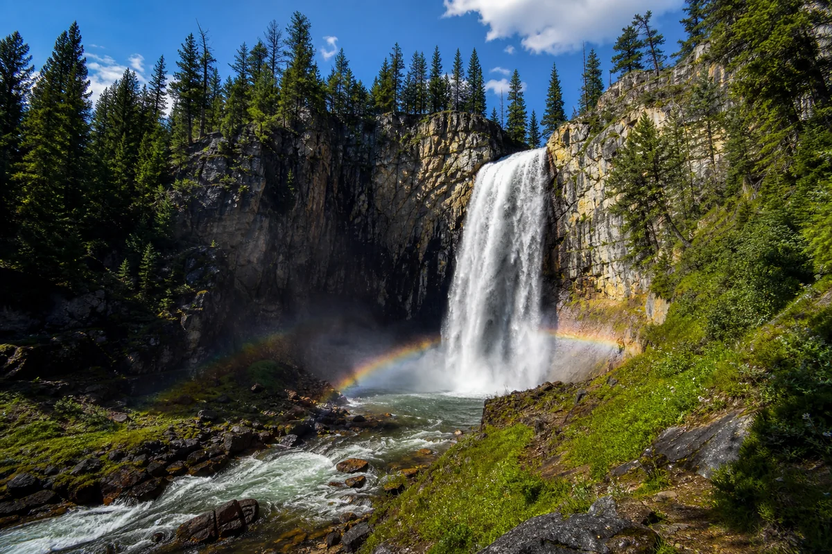
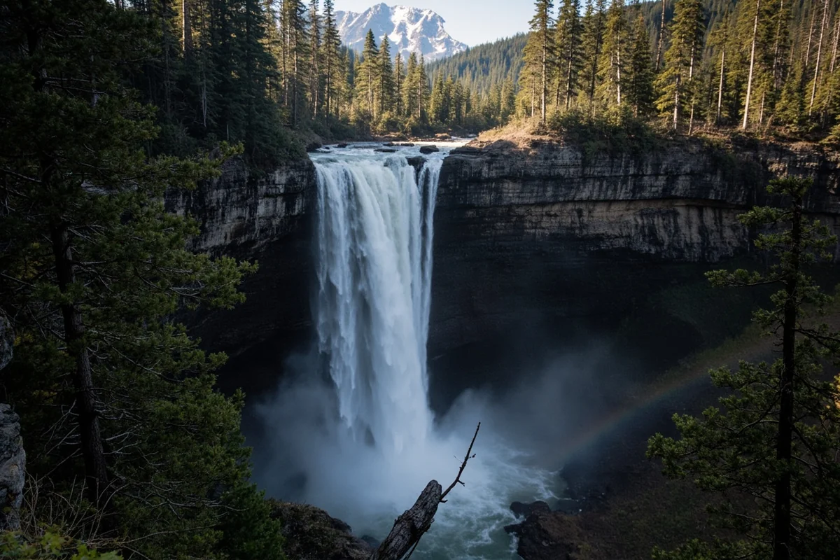
The moment I rounded that final bend and heard the thunderous roar of Morrell Falls crashing down nearly 100 feet of granite cliff, I understood why this hike consistently ranks among the most beloved Montana waterfalls experiences.
Standing there last summer, mist coating my face while afternoon sunlight created dancing rainbows in the spray, I felt that rare combination of accessibility and wilderness immersion that makes Montana’s backcountry so special.
- 5.4-mile round trip hike with 640 feet elevation gain — rated moderate and family-friendly
- Best visited June through October; peak flow typically late June after snowmelt
- Trailhead requires Forest Service Road 4381 access (sometimes rough but passable for most vehicles)
- No permits required, but bring bear spray — this is active grizzly country
- Allow 2.5-4 hours depending on pace and photography stops
- The falls drops approximately 90 feet in a stunning double-tiered cascade
Liked this article?
Add Roaming Montana as a preferred source so you see more of our articles and guides on Google.
What Makes Morrell Falls Worth the Drive
During my visit in mid-July, I quickly realized why Morrell Falls has earned its reputation as one of the Seeley-Swan Valley’s crown jewels. The waterfall isn’t just tall — it’s dramatic, powerful, and set against a backdrop of rugged Mission Mountain wilderness that feels genuinely remote despite the relatively approachable trail.
What separates Morrell Falls from other Montana cascades I’ve explored, like Holland Lake Falls further south in the Swan Valley, is the sheer volume of water. Fed by Morrell Creek and snowmelt from the surrounding peaks, this waterfall doesn’t trickle — it pounds.
The falls actually consist of two distinct tiers. The upper cascade drops about 40 feet before pooling briefly on a rocky ledge, then the main event plummets another 50 feet into a churning pool below.
Getting to Morrell Falls Trailhead
Let me be honest about the drive in — it’s part of the adventure, and not always in a good way. The trailhead sits at the end of Forest Service Road 4381, which branches off Morrell Creek Road about 6 miles north of Seeley Lake.
From Seeley Lake, head north on Highway 83 for approximately 1 mile, then turn right onto Morrell Creek Road (also called Cottonwood Lakes Road on some maps). Follow this for about 6 miles until you reach the junction with FR 4381.
Here’s where I need to give you the real talk: that final stretch on FR 4381 can be rough. When I drove it last summer, recent rains had created some significant ruts and a few muddy sections that made me grateful for my SUV’s clearance.
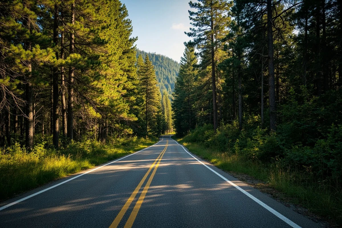
Most passenger cars can make it in dry conditions, but I’d recommend caution after heavy rain. Take it slow, avoid the worst ruts, and you’ll probably be fine. If you’re driving a low-clearance sedan, consider parking at the junction and walking the final mile to the trailhead.
| Driving Detail | Information |
|---|---|
| Distance from Missoula | Approximately 55 miles (1 hour 15 minutes) |
| Distance from Seeley Lake | Approximately 7 miles (20-30 minutes) |
| Road Conditions | Paved to FR 4381, then gravel (occasionally rough) |
| Trailhead Parking | Dirt lot with space for 15-20 vehicles |
| Facilities | Vault toilet at trailhead, no potable water |
The Morrell Falls Trail: Step by Step
I’ve broken down this hike into sections based on my experience, because knowing what to expect at each stage makes the journey more enjoyable.
The First Mile: Gentle Forest Walking
The trail starts easy and stays that way for the first mile or so. You’ll walk through beautiful mixed conifer forest — Douglas fir, lodgepole pine, and western larch creating a shaded canopy that’s particularly welcome on hot summer afternoons.
The path here is wide and well-maintained, almost like walking on a soft carpet of pine needles. This section gave me time to warm up and settle into my hiking rhythm.
I spotted several species of wildflowers along this stretch during my July visit, including wild rose, fireweed, and what I believe were bunchberry dogwood carpeting the forest floor.
Morrell Lake Junction and Beyond
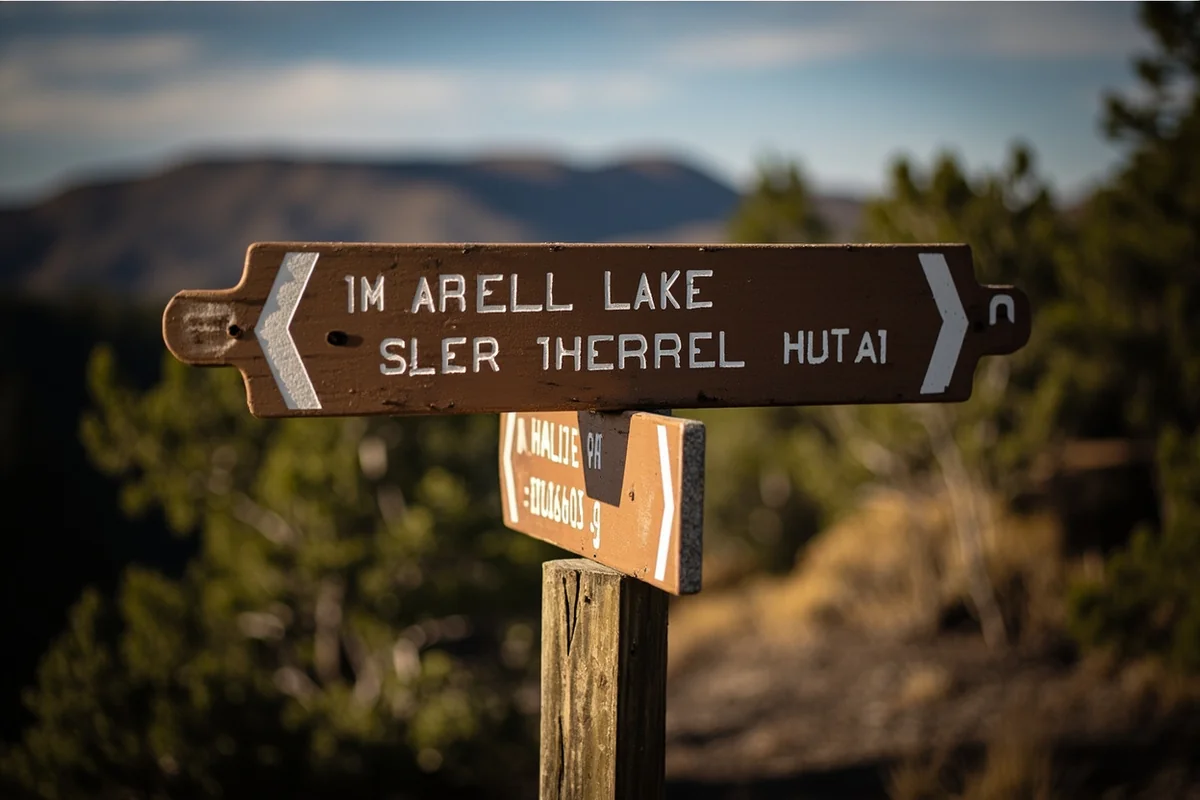
Around mile 1.3, you’ll reach a signed junction for Morrell Lake. The lake itself sits a short detour to the left and makes a lovely add-on if you have time — I’d estimate an extra 20-30 minutes round trip.
During my hike, I stayed focused on the falls but made a mental note to return and explore the lake another day. Locals told me it’s a popular fishing spot for cutthroat trout.
Continue right at this junction to stay on the Morrell Falls trail. The path remains gentle through this section.
The Middle Section: Creek Crossings and Gradual Climb
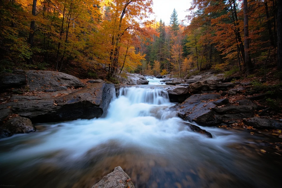
After the lake junction, the trail begins its gradual ascent toward the falls. You’ll cross Morrell Creek on a sturdy wooden footbridge around mile 2.0 — one of the highlights of the hike for me.
I paused on this bridge for several minutes, watching the crystal-clear water rush beneath my feet. The sound of the creek provided a natural soundtrack that amplified my sense of being deeply immersed in wilderness.
Beyond the bridge, the trail follows the creek more closely. The forest opens up in places, offering glimpses of the surrounding ridgelines.
This is also where I started noticing the trail climbing more noticeably. Nothing strenuous, but enough to get my heart rate up slightly.
The Final Push to the Falls
The last half-mile brings the most significant elevation gain as you approach the falls. The trail gets rockier and narrower, switchbacking up through steeper terrain.
I could hear the falls before I could see them. That deep rumble grew louder with each step, building anticipation that made the slight burn in my legs fade to background noise.
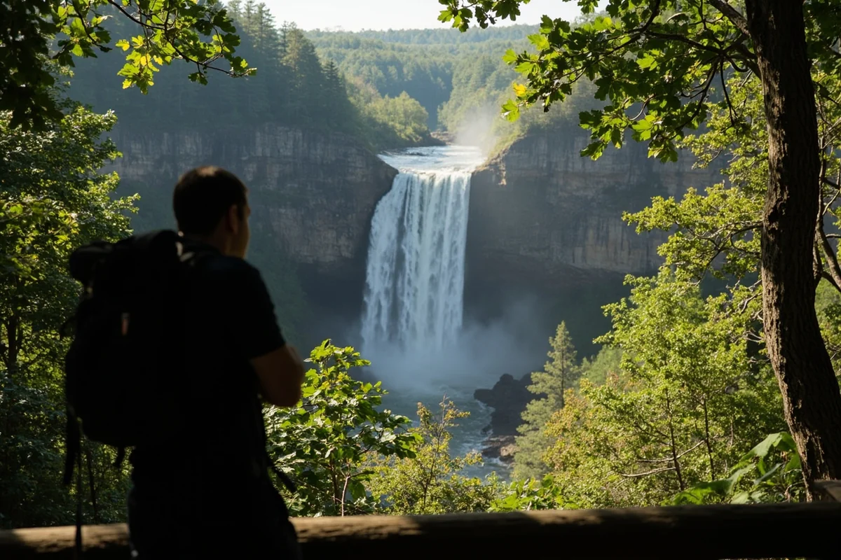
The trail delivers you to a viewing area below the falls. From here, the full majesty of Morrell Falls becomes apparent.

Experiencing the Falls Up Close
I spent nearly an hour at the falls during my visit, and I’d encourage you to budget similar time. The official viewing area provides excellent sightlines, but there’s more to explore.
A rough use trail scrambles closer to the base of the falls. I carefully made my way down and was rewarded with face-fulls of refreshing mist and a perspective that made the falls feel absolutely massive.
Fair warning: the rocks near the base are perpetually wet and slippery. I watched one fellow hiker take a nasty tumble trying to get the perfect photo. Tread carefully and prioritize your safety over any Instagram shot.
The pool at the base looked tempting on that warm July afternoon, but the water was snowmelt-cold — probably around 45°F. A few brave souls were wading ankle-deep, but full immersion looked like a recipe for instant hypothermia.
Photography Tips from My Experience
For photographers, I learned a few things the hard way. Bring a lens cloth or bandana — the mist will coat your lens within minutes if you’re anywhere near the base.
Morning light is tricky here because the falls face east and are set in a deep canyon. I found late morning to early afternoon offered the best combination of light reaching the falls while avoiding harsh shadows.
If you want that silky smooth water effect, bring a tripod and neutral density filter. The spray can be challenging for long exposures, so position yourself at the upper viewing area for cleaner shots.
The rainbow I mentioned earlier? That magic happens when afternoon sun hits the mist just right, typically between 2-4 PM on sunny days. I got lucky and witnessed about 15 minutes of double rainbow action that made the entire trip worthwhile.
When to Visit Morrell Falls
Timing your visit correctly makes a huge difference in your experience. Here’s what I’ve learned from multiple trips and conversations with Seeley Lake locals.
Peak Season: Late June Through July
This window offers the ultimate combination of massive water flow and (usually) accessible trail conditions. Snowmelt swells Morrell Creek to its maximum, creating a thundering spectacle that photographs like a dream.
However, expect company. On a Saturday in late June, I counted over 40 other hikers on the trail. The parking lot was full by 10 AM.
For a more solitary experience during peak season, hit the trail early — I mean 7 AM early — or come on a weekday.
Late Summer: August Through September
Water volume decreases noticeably by August, but the falls remain impressive. I actually prefer this window for the reduced crowds and more comfortable temperatures.
The forest takes on golden hues by mid-September as the western larch turn color. Combining a Morrell Falls hike with fall foliage makes for an exceptional experience.
Shoulder Seasons: May and October
Early May can be dicey. Snowpack at the trailhead elevation (around 4,800 feet) typically melts by late April or early May, but lingering snow patches higher on the trail can make passage difficult.
I attempted a late April visit a few years back and turned around after encountering thigh-deep snow about a mile in. Not fun.
October offers beautiful fall scenery but significantly reduced water flow. The falls become more delicate than dramatic, which has its own charm.
Winter Access
The trail to Morrell Falls is technically accessible for snowshoeing or cross-country skiing in winter, but it’s a serious undertaking. The road to the trailhead isn’t plowed, adding significant distance, and avalanche danger exists in some areas.
I’d recommend this only for experienced winter backcountry travelers with proper avalanche awareness training.
Wildlife and Safety Considerations
This is grizzly country. I can’t emphasize this enough. The Seeley-Swan Valley supports a healthy population of both black bears and grizzlies, and the Morrell Falls corridor sees regular bear activity.
Bear Safety Essentials
Carry bear spray and know how to use it. During my July hike, I passed fresh bear scat on the trail — a stark reminder that we’re visitors in their home.
Make noise on the trail, especially around blind corners and thick brush. I do the “hey bear” call regularly and feel zero embarrassment about it.
Never approach a bear for any reason. If you see one at a distance, detour widely or wait for it to move on.
Other Wildlife Encounters
Beyond bears, I’ve seen deer, elk, and countless squirrels on the Morrell Falls trail. On my last visit, a gorgeous pine marten crossed the path about 30 feet ahead of me — one of those magical wildlife moments that money can’t buy.
Mountain lions inhabit this area too, though they’re rarely seen. Keep children close and maintain awareness of your surroundings.
Trail Hazards
The creek crossings can be challenging during high water. While there are footbridges at the main crossings, some smaller tributaries require rock-hopping that demands careful foot placement.
Fallen trees occasionally block portions of the trail, especially in early season after winter storms. Be prepared to scramble over or around obstacles.
What to Pack for Morrell Falls
Based on my experiences, here’s my recommended packing list for this hike:
- Water: At least 2 liters per person. The trail has no reliable water sources unless you bring a filter.
- Snacks: I always pack more than I think I’ll need. Trail mix, energy bars, and fruit work well.
- Layers: Even on warm days, the falls area is noticeably cooler due to spray and shade. A light fleece saved me from shivering during my July visit.
- Rain jacket: Montana weather changes fast. I’ve started hikes in sunshine and finished in downpours.
- Bear spray: Non-negotiable. Carry it somewhere immediately accessible.
- First aid kit: Basic supplies for blisters, cuts, and minor injuries.
- Sun protection: Hat, sunglasses, and sunscreen for exposed sections.
- Trekking poles: Optional but helpful on the rocky sections near the falls.
- Camera/phone: You’ll want to document this one.
Comparing Morrell Falls to Other Nearby Waterfalls
If you’re planning a waterfall-focused trip to this region of Montana, you’ll want to know how Morrell Falls stacks up against other options.
Versus Holland Lake Falls
Holland Lake Falls is another Seeley-Swan Valley favorite, and I’ve hiked both multiple times. Holland Lake Falls is shorter (about 3 miles round trip) and arguably more accessible, making it better for families with young kids.
However, Morrell Falls delivers more dramatic water volume and that unique double-tiered structure. If you have time for only one, Morrell edges it out in my opinion — unless you’re traveling with small children.
Regional Waterfall Options
The greater Montana waterfall scene offers incredible diversity. For something completely different, consider Kootenai Falls in northwestern Montana — it’s wider than tall and includes a thrilling swinging bridge.
Closer to Glacier National Park, Running Eagle Falls and Saint Mary Falls offer easier access with spectacular scenery.
For adventurous hikers, Passage Creek Falls and Ptarmigan Falls in Glacier National Park require more effort but reward with fewer crowds.
Nearby Attractions and Trip Planning
Morrell Falls works beautifully as a standalone day trip from Missoula or as part of a longer Seeley-Swan Valley exploration.
Seeley Lake Area
The charming community of Seeley Lake offers essential services including restaurants, gas stations, and grocery stores. I always top off my fuel tank here before heading to the trailhead.
For a post-hike meal, Lindey’s Prime Steak House has been my go-to for years. Their steaks are excellent, and the atmosphere feels authentically Montana.
The Seeley Lake area also provides access to numerous other recreational opportunities. Salmon Lake State Park, just south of Seeley Lake, offers excellent swimming and picnicking.
Extended Exploration Options
If you’re making a weekend of it, combine Morrell Falls with other regional waterfalls. Monture Falls lies further up the valley and sees far fewer visitors than Morrell.
The Bob Marshall Wilderness complex borders this area, offering virtually unlimited backcountry adventure for those seeking deeper immersion.
Camping Options
Several Forest Service campgrounds operate in the Seeley Lake area during summer months. River Point Campground and Big Larch Campground both provide convenient base camps for exploring Morrell Falls and the surrounding region.
Reservations are recommended for weekend stays during peak summer season. I’ve been turned away from full campgrounds more than once.
Accessibility and Trail Difficulty Assessment
Let me be straight about who this trail is appropriate for, based on my observations.
Fitness Level Required
I consider Morrell Falls a moderate hike suitable for most reasonably fit adults and children over about 8 years old. The 5.4-mile round trip with 640 feet of elevation gain should be achievable for anyone who walks regularly.
That said, I’ve seen folks struggling on the steeper sections near the falls. If you’re not accustomed to hiking at altitude (the trailhead sits around 4,800 feet), take it slower than you think necessary.
Family Friendliness
I’d rate this trail as family-friendly with caveats. Young children can absolutely complete this hike with patience and encouragement, but it’s not a quick stroll.
The creek crossings require attention with kids, and the rocky sections near the falls demand careful supervision. I watched one family with a toddler in a carrier complete the hike without issues, so it’s definitely doable with proper preparation.
Dog Accessibility
Dogs are allowed on the Morrell Falls trail and must be kept on leash. I’ve encountered many happy trail dogs over my visits.
Bring water for your pup — the creek provides natural drinking opportunities, but carrying backup ensures hydration regardless of conditions.
Seasonal Trail Conditions and Updates
Trail conditions at Morrell Falls vary significantly throughout the hiking season. Here’s what I’ve learned to expect.
Early Season Challenges
May through mid-June often brings lingering snow patches, muddy conditions, and potentially high creek levels that make crossings challenging. I’d recommend waiting until late June for the most enjoyable experience unless you’re comfortable with unpredictable conditions.
Mid-Season Sweet Spot
Late June through August typically offers the best trail conditions. The path is mostly dry, creek levels are manageable, and the falls are running strong.
Late Season Considerations
September and October bring cooler temperatures, beautiful fall colors, and reduced water flow. The trail remains in good condition but can be slippery with fallen leaves.
Checking Current Conditions
Before heading out, I always check the Lolo National Forest website or call the Seeley Lake Ranger District for current trail conditions. They can provide up-to-date information on road access, trail hazards, and bear activity.
Making the Most of Your Morrell Falls Experience
After multiple visits to Morrell Falls, I’ve developed a personal approach that maximizes enjoyment while minimizing frustration.
Start early. I know I’ve mentioned this, but arriving at the trailhead by 8 AM transforms the experience. You’ll beat the crowds, enjoy cooler temperatures, and have the falls largely to yourself for that magical first viewing.
Pack a lunch and plan to eat at the falls. There’s something deeply satisfying about enjoying a meal with that thundering backdrop. I always find a comfortable rock perch and take my time.
Bring something to sit on. A small foam pad or packable seat makes those rock-sitting sessions much more comfortable, especially if the rocks are wet from spray.
Don’t rush the return hike. The trail is beautiful in both directions, and you might spot wildlife or wildflowers you missed on the way up.
Compare your experience to other Montana cascades like Memorial Falls near Kalispell or Ousel Falls in Big Sky — each offers unique characteristics worth experiencing.
For waterfall enthusiasts, I’d also recommend exploring Skalkaho Falls in the Bitterroot area, Palisade Falls near Bozeman, and the dramatic Grotto Falls for completely different waterfall experiences across Montana.
Final Thoughts on Morrell Falls
After countless Montana waterfall hikes, Morrell Falls remains in my personal top five. It delivers that perfect combination of accessible yet adventurous, popular yet still somewhat uncrowded (if you time it right), and genuinely spectacular without requiring expert-level hiking abilities.
The drive in can test your patience, the trail demands moderate fitness, and the bears keep you alert — but these minor challenges only amplify the reward when you finally stand before that crashing cascade.
Whether you’re a Montana local looking for a reliable day trip or a visitor from out of state seeking quintessential Big Sky Country wilderness, Morrell Falls delivers. I’ve brought friends and family here repeatedly, and the reaction is always the same: wonder, gratitude, and an immediate desire to return.
For those building a Montana waterfall bucket list, don’t miss Gros Ventre Falls, Hidden Falls, and Lost Creek Falls as excellent additions to your itinerary. Each offers unique characteristics that complement the Morrell Falls experience perfectly.
Plan your visit, respect the wilderness, and prepare to be amazed. Morrell Falls is waiting.
Frequently Asked Questions
How long is the hike to Morrell Falls in Montana?
The Morrell Falls Trail is approximately 5.4 miles round trip with around 500 feet of elevation gain, making it a moderate hike suitable for most fitness levels. I typically allow 2-3 hours to complete the trail at a leisurely pace with time to enjoy the waterfall. The well-maintained path follows Morrell Creek through beautiful forest, making the journey as scenic as the destination.
What is the best time of year to visit Morrell Falls?
The best time to visit Morrell Falls is late May through July when snowmelt creates the most dramatic water flow and the falls are at peak volume. I’ve found early summer offers the perfect combination of full cascades and comfortable hiking temperatures. The trail is typically accessible from late spring through October, though fall visits offer stunning larch colors with less water volume.
How do I get to the Morrell Falls trailhead from Seeley Lake Montana?
From Seeley Lake, drive north on Highway 83 for about 1 mile, then turn right onto Morrell Creek Road (Forest Road 477) and continue approximately 6 miles to the trailhead parking area. The last portion is a gravel road that’s generally passable for regular vehicles but can be rough in spots. I recommend arriving early on summer weekends since the parking lot fills up quickly.
Is Morrell Falls kid-friendly and suitable for beginners?
Yes, Morrell Falls is one of the most family-friendly waterfall hikes in Montana with a gentle grade and well-marked trail perfect for beginners and children. My kids managed the hike easily, and there are several rest spots along the creek where families can take breaks. The 90-foot waterfall payoff at the end keeps younger hikers motivated throughout the journey.
Do I need a pass or permit to hike Morrell Falls Trail?
No entrance fee or hiking permit is required to access Morrell Falls since the trail is located in the Lolo National Forest. However, parking at the trailhead is free but limited, so plan accordingly during peak season. I always check current trail conditions on the Lolo National Forest website before heading out, especially early in the season.
What should I bring on the Morrell Falls hike?
Pack plenty of water, snacks, and sturdy hiking shoes since parts of the trail can be muddy or have exposed roots. I always bring bear spray since this is grizzly country, plus layers for changing mountain weather and bug spray for summer visits. A camera is essential for capturing the stunning 90-foot cascade, and trekking poles are helpful for creek crossings during high water.
Can you swim at Morrell Falls or Morrell Lake nearby?
Swimming directly at Morrell Falls isn’t practical due to the rocky terrain and cold temperatures, but nearby Morrell Lake offers a refreshing option for a quick dip on hot summer days. The lake is accessible via a short spur trail and provides beautiful views of the surrounding mountains. I recommend bringing a towel and expecting very cold water even in midsummer since it’s fed by mountain snowmelt.
Sources: