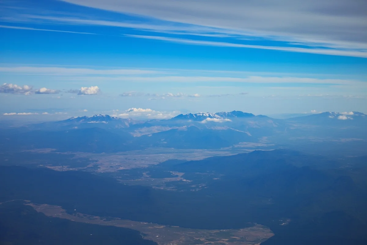
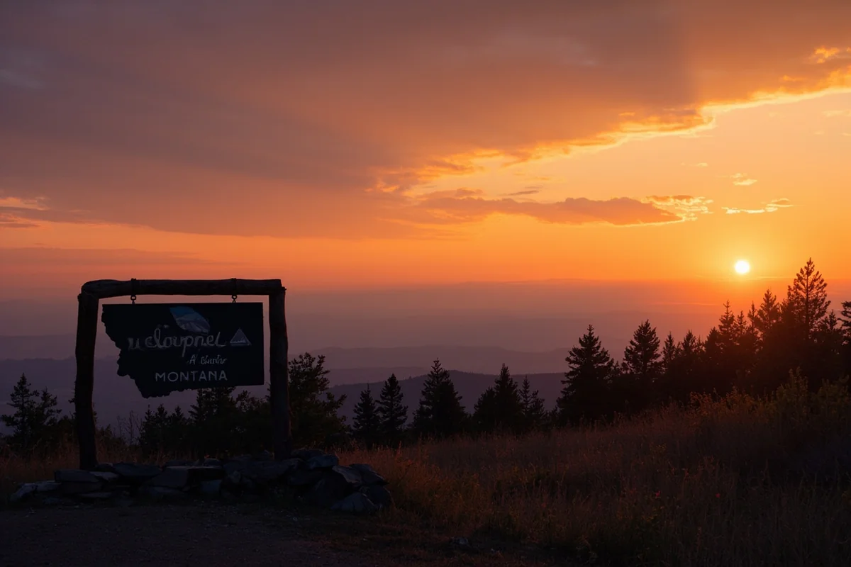
The first time I drove into Montana, I nearly missed my turn because I couldn’t stop staring at the mountains rising from the plains like something out of a dream.
That moment—watching the landscape transform from flat Dakota farmland into rugged, snow-capped peaks—sold me on every future trip to Big Sky Country.
Whether you’re flying into Bozeman, road-tripping across the Hi-Line, or taking the legendary Empire Builder train, getting to Montana is half the adventure. If you’re still in the early stages of your Montana trip planning guide, figuring out your route is the crucial first step.
- Montana has 8 commercial airports — Bozeman and Missoula offer the most flight options
- Driving takes 8-14 hours from most Western US cities; I-90 and I-15 are the main corridors
- Amtrak’s Empire Builder crosses northern Montana with 12 stops — stunning but slow
- Rental cars are essential for exploring once you arrive
- Budget $400-800 for flights, $150-300 for fuel if driving, or $100-250 for train tickets
- Summer and ski season (December-March) see highest prices — book 6-8 weeks ahead
Why Your Route Into Montana Matters More Than You Think
Here’s something most travel guides won’t tell you: how you get to Montana dramatically shapes your entire trip. Last summer, I flew into Billings and spent my first day exhausted from connections and airport logistics. On a different trip, I drove in from Wyoming through the Beartooth Highway, and those first hours in Montana became the highlight of my whole week.
Montana is massive—the fourth-largest state, covering 147,000 square miles. Where you enter determines what you see first, how tired you’ll be, and whether you’ll have a vehicle for exploration. There are plenty of key reasons to visit Montana, but none of them are easily accessible without planning your arrival strategy.
The state’s geography creates natural corridors that funnel travelers toward specific regions. Understanding these routes helps you avoid backtracking hundreds of miles or missing entire sections of the state you wanted to explore.
Flying to Montana: Airports, Airlines, and What I’ve Learned
Montana has eight commercial airports scattered across the state, but they’re definitely not created equal. After flying into five of them over the years, I’ve developed strong opinions about which ones are worth the potential savings and which will leave you stranded.
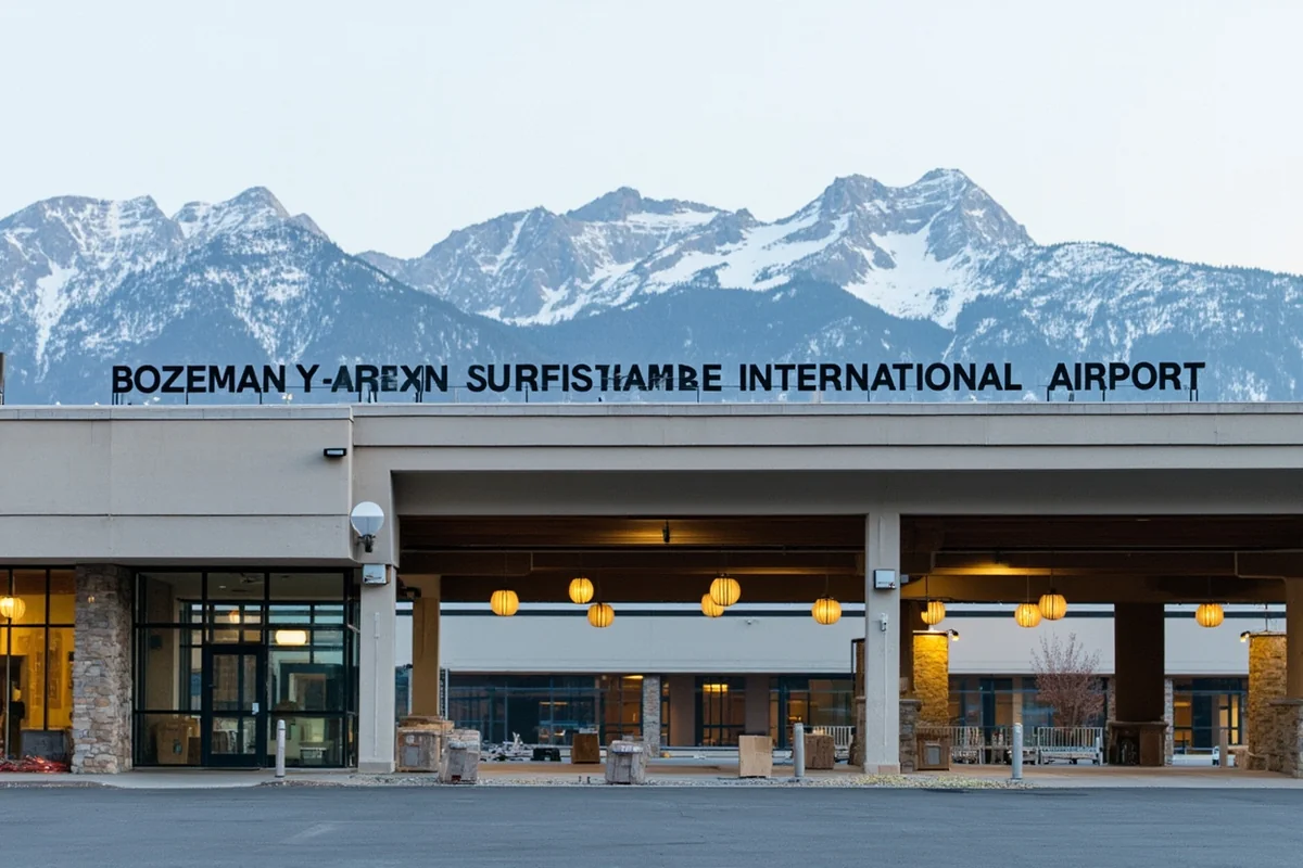
Bozeman Yellowstone International (BZN) — The Main Hub
Bozeman is Montana’s busiest airport, and there’s a good reason for that. During my visit last October, I counted flights from 18 different cities on the departure board—a far cry from what you’ll find at smaller Montana airports.
Direct flights currently operate from major hubs including Seattle, Denver, Salt Lake City, Minneapolis, Dallas, Phoenix, Los Angeles, San Francisco, Chicago, and Atlanta. Airlines serving Bozeman include United, Delta, American, Alaska, Allegiant, Southwest, and Frontier.
I typically find round-trip flights ranging from $350-600 from West Coast cities, $400-700 from the Midwest, and $500-900 from the East Coast. These prices fluctuate wildly based on season—I’ve paid $289 in late September and $847 for almost the same itinerary in July.
The airport sits about 8 miles northwest of downtown Bozeman. Rental car counters are inside the terminal, and I’ve never waited more than 15 minutes for my reservation. Uber and Lyft operate here, but availability can be spotty—I once waited 40 minutes for a ride during a busy ski weekend.
Missoula Montana Airport (MSO) — Western Montana’s Gateway
If you’re heading to Glacier National Park, Flathead Lake, or anywhere in western Montana, flying into Missoula often makes more sense than Bozeman, even if it costs slightly more.
Missoula receives direct flights from Seattle, Denver, Salt Lake City, Minneapolis, Phoenix, Las Vegas, Los Angeles, Portland, and San Francisco. The airport is smaller and calmer than Bozeman—on a recent trip, I walked from the gate to my rental car in under 10 minutes.
Prices typically run $50-100 higher than Bozeman for comparable routes. However, when I calculated the time and fuel savings for a Glacier trip, flying into Missoula saved me nearly 5 hours of driving compared to arriving in Bozeman.
Billings Logan International (BIL) — Eastern Montana Access
Billings is Montana’s largest city and its airport serves as the gateway to the eastern two-thirds of the state. Direct flights come from Denver, Salt Lake City, Minneapolis, Seattle, and Phoenix.
I flew into Billings last spring specifically to explore the Beartooth Highway and Little Bighorn Battlefield. The airport is efficient but feels dated—don’t expect many food options past security. Prices are often $50-150 cheaper than Bozeman for the same origin cities.
Smaller Regional Airports
Montana’s five smaller commercial airports serve specific purposes:
- Glacier Park International (FCA) in Kalispell — My top choice for Glacier National Park trips. Direct flights from Denver, Seattle, Salt Lake City, Minneapolis, and seasonal routes from other cities. Just 30 miles from the park entrance.
- Helena Regional (HLN) — The state capital’s airport with limited service from Denver and Salt Lake City. Useful if Helena is your actual destination.
- Great Falls International (GTF) — Central Montana access with flights from Denver, Salt Lake City, Minneapolis, and Las Vegas. Great Falls is an underrated base for exploring the Hi-Line and eastern front of the Rockies.
- Yellowstone Airport (WYS) in West Yellowstone — Seasonal service (June-September) from Salt Lake City only. Extremely convenient for Yellowstone but limited.
- Bert Mooney Airport (BTM) in Butte — Minimal service from Salt Lake City. Only useful if Butte is your specific destination.
Flight Booking Strategies That Actually Work
After dozens of Montana trips, I’ve identified patterns that consistently save money:
Book 6-8 weeks before summer trips. I track Montana flight prices obsessively, and this window consistently offers the best rates for June-August travel. Waiting until 2-3 weeks out often means paying 40-60% more.
Consider positioning flights. Sometimes flying into Denver or Salt Lake City and connecting the same day saves $200-400 over direct Montana flights. I did this last December—flew from Philadelphia to Denver ($189), then Denver to Bozeman ($79)—saving $340 over the direct connection through Minneapolis.
Check Allegiant and Frontier carefully. These budget carriers serve Bozeman and occasionally Missoula with genuinely cheap fares. I’ve found $99 one-way tickets from Los Angeles on Allegiant. However, add up baggage fees before celebrating—my “cheap” Frontier flight once cost more than United after I added a checked bag and carry-on.
Flexibility matters enormously. Flying Tuesday-Thursday instead of Friday-Sunday can save $150-300 during peak season. I shift my travel days whenever possible.
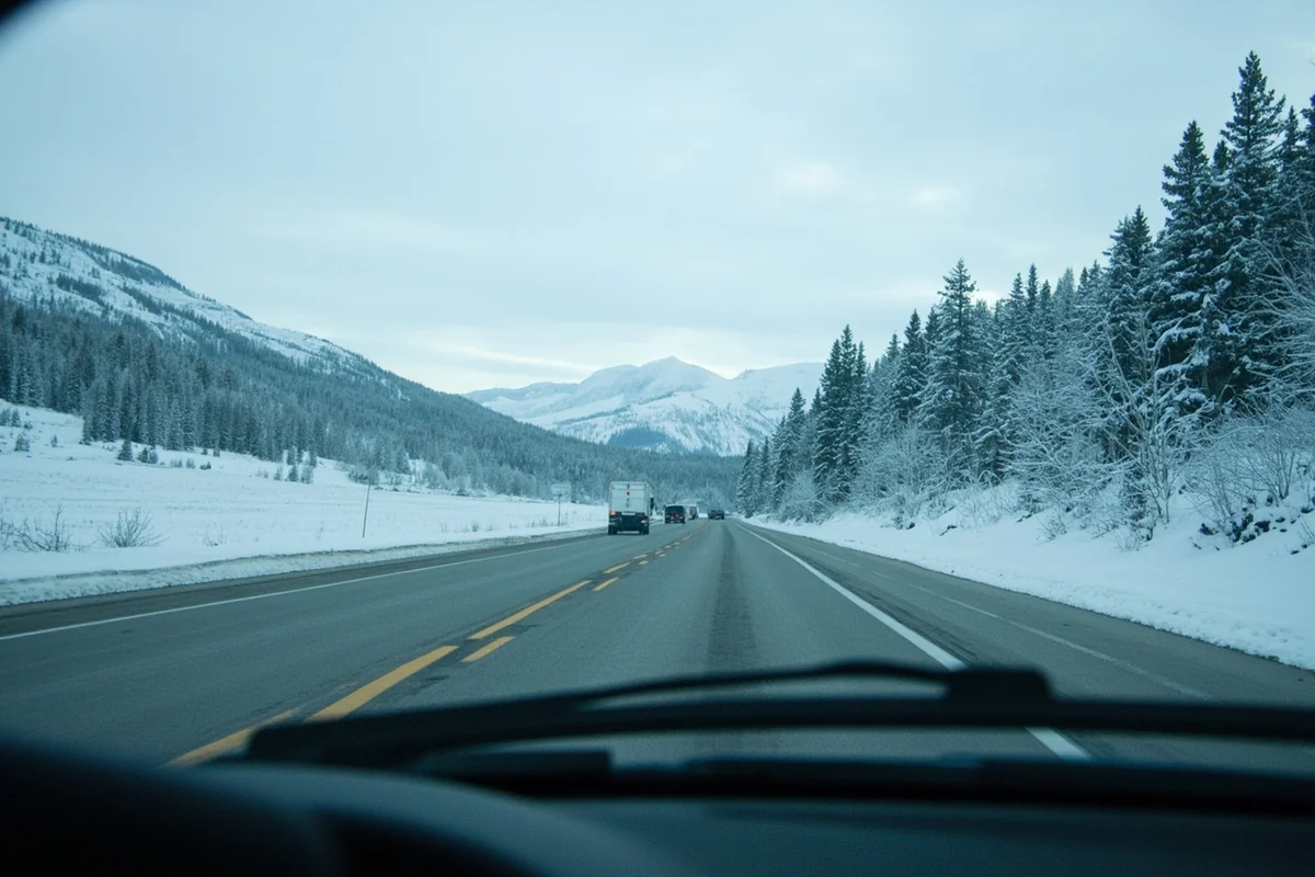
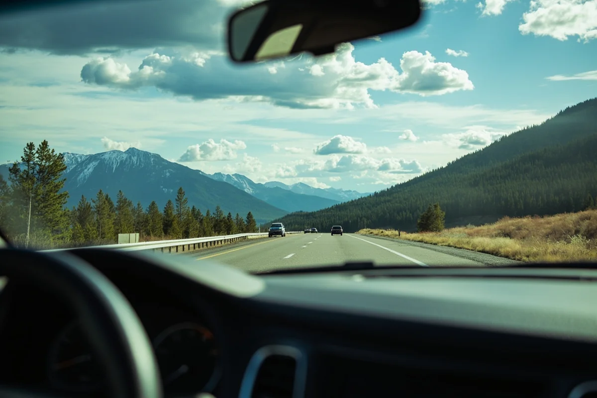
Driving to Montana: Routes, Conditions, and Road Trip Realities
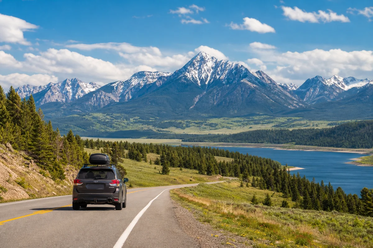
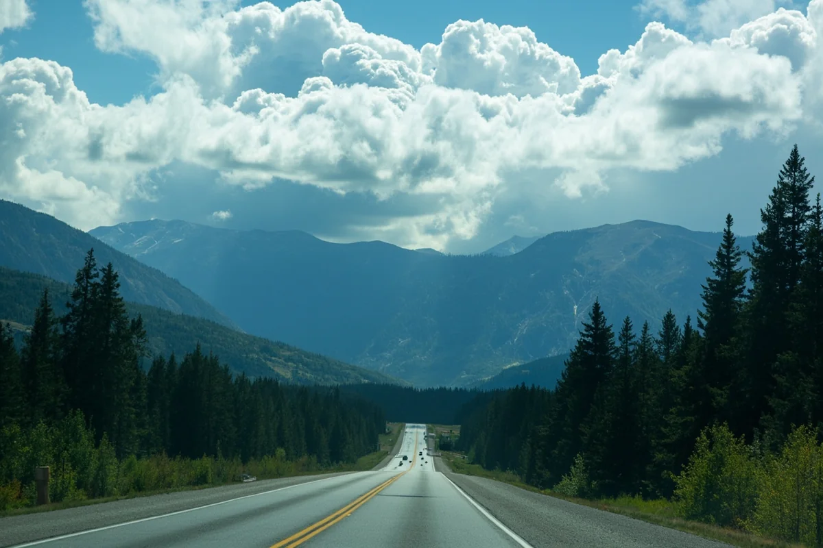
Driving into Montana remains my preferred method when I have the time. The state’s borders are so beautiful that arriving by car means your trip begins the moment you cross the state line.
Major Highway Corridors Into Montana
Interstate 90 (East-West)
I-90 enters Montana from South Dakota near Wibaux and exits into Idaho near Lookout Pass. This is the primary east-west artery, passing through Billings, Bozeman, Butte, and Missoula.
During my last drive across I-90 in August, I covered the 550-mile Montana stretch in about 8 hours with stops. Speed limits are 80 mph on rural interstate sections, and traffic is generally light outside Billings and Bozeman.
The stretch between Bozeman and Missoula through Butte is particularly stunning—you’re driving through the heart of the Rocky Mountains with peaks rising on both sides.
Interstate 15 (North-South)
I-15 connects Montana to Idaho (and Salt Lake City/Las Vegas beyond) in the south and to Alberta, Canada in the north. The highway passes through Butte, Helena, and Great Falls.
I drove this route from Salt Lake City last winter—about 6 hours to reach Butte, 8 hours to Helena. The Idaho-Montana border crossing near Monida is surprisingly dramatic, with the Continental Divide visible to the east.
Interstate 94 (Eastern Montana)
I-94 splits from I-90 near Billings and heads northeast toward North Dakota and Minneapolis. This route crosses the Montana badlands and high plains—not classically scenic but hauntingly beautiful in its emptiness.
The drive from Minneapolis to Billings via I-94 takes about 12 hours. I made this trip once and appreciated the gradual transition from Midwest farmland to Western rangeland.
Scenic Alternative Routes Worth the Extra Time
If you’re not in a hurry, these alternative routes into Montana offer dramatically better scenery than the interstates:
Beartooth Highway from Wyoming
This is genuinely one of America’s most spectacular drives. US-212 climbs from Red Lodge, Montana (or Cooke City, entering from Wyoming/Yellowstone) over 10,947-foot Beartooth Pass. When I drove this route last July, I stopped at least 15 times for photographs.
The highway is only open from late May through mid-October. Snow can close it temporarily even in summer. Plan 3-4 hours for the 68-mile stretch from Yellowstone’s northeast entrance to Red Lodge.
Chief Joseph Scenic Byway from Wyoming
WY-296 connects Cody, Wyoming to the Beartooth Highway and eventually Montana. The route passes through dramatic canyon country and offers views of the Absaroka Range.
US-93 from Idaho
This route enters Montana near the Bitterroot Valley and continues north through Missoula to Flathead Lake and Glacier. It’s one of the most beautiful north-south drives in the American West. Last summer, I took this route instead of I-15 and added only 90 minutes to my travel time while seeing significantly better scenery.
Going-to-the-Sun Road (Seasonal)
While technically not a route “into” Montana, if you’re entering from Alberta through the Chief Mountain border crossing, you can connect to Going-to-the-Sun Road through Glacier National Park. This only works when the road is fully open (typically early July through mid-October).
Driving Times and Distances From Major Cities
| Origin City | Destination | Distance | Drive Time |
|---|---|---|---|
| Seattle, WA | Missoula | 475 miles | 7-8 hours |
| Seattle, WA | Bozeman | 690 miles | 10-11 hours |
| Portland, OR | Missoula | 500 miles | 8-9 hours |
| Denver, CO | Billings | 550 miles | 8-9 hours |
| Denver, CO | Bozeman | 695 miles | 10-11 hours |
| Salt Lake City, UT | Butte | 385 miles | 5.5-6 hours |
| Salt Lake City, UT | Bozeman | 465 miles | 6.5-7 hours |
| Minneapolis, MN | Billings | 860 miles | 12-13 hours |
| Minneapolis, MN | Bozeman | 1,000 miles | 14-15 hours |
| Phoenix, AZ | Bozeman | 1,075 miles | 15-16 hours |
| Los Angeles, CA | Missoula | 1,170 miles | 17-18 hours |
Seasonal Driving Considerations
Montana driving conditions vary dramatically by season, and I’ve learned some lessons the hard way.
Winter (November-March): Interstate highways remain open but can become treacherous quickly. I got caught in a sudden whiteout near Butte one December that reduced visibility to about 20 feet. Mountain passes on secondary routes often close entirely. Always check road conditions at 511mt.net before departing and carry emergency supplies.
Spring (April-May): This is mud season. Some mountain passes remain closed, and unpaved roads can become impassable. The Beartooth Highway typically doesn’t open until late May.
Summer (June-August): Ideal driving conditions, though afternoon thunderstorms are common in the mountains. Construction season means potential delays on major routes. Checking the Montana public holiday schedule before your trip helps you avoid the worst traffic around Memorial Day, July 4th, and Labor Day.
Fall (September-October): My favorite time to drive in Montana. Clear skies, moderate temperatures, minimal traffic. However, early snowstorms can close mountain passes with little warning—I’ve seen Beartooth Highway shut down in late September.
Fuel and Costs for Road Trips
Gas prices in Montana typically run $0.20-0.40 below the national average, though remote areas charge premium prices. I’ve paid $4.50/gallon in West Yellowstone when Bozeman stations were selling for $3.20.
Budget approximately $150-300 for fuel depending on your starting point and vehicle efficiency. My Subaru Outback typically uses about 40 gallons getting from Seattle to Bozeman and back—roughly $140-160 in fuel costs.
One crucial tip: fill up before entering remote stretches. The gap between Billings and Bozeman has multiple stations, but sections of US-2 across northern Montana can go 80+ miles between gas stations.
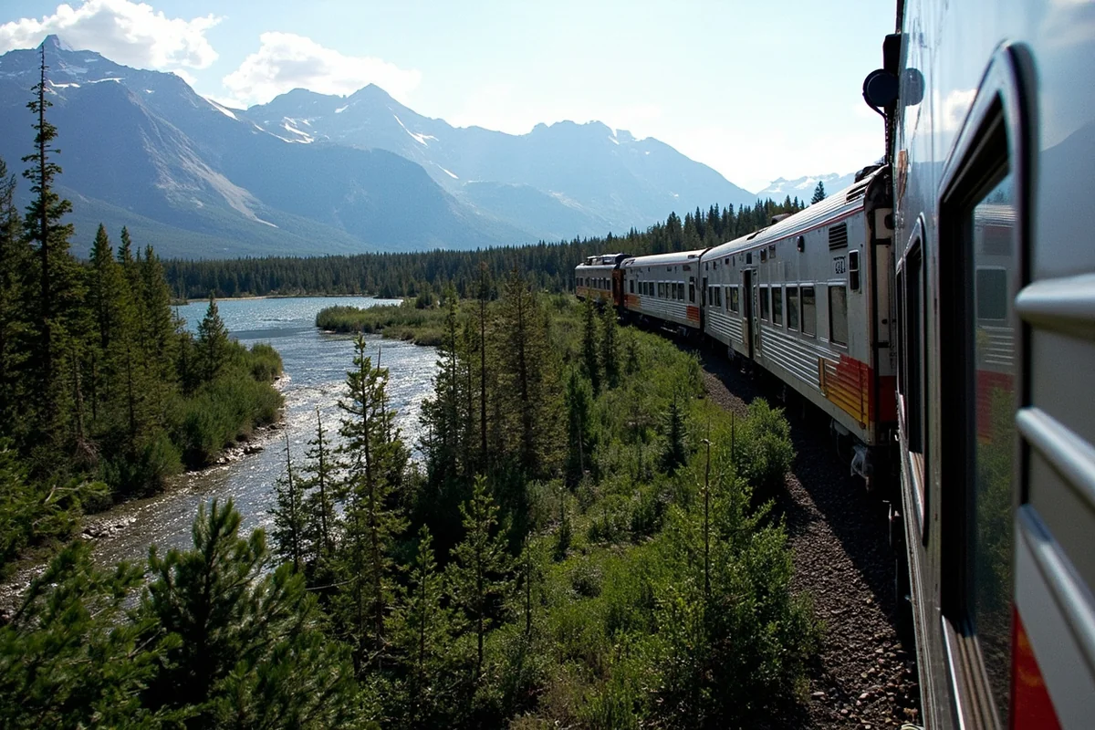
Taking the Train: Amtrak’s Empire Builder
The Empire Builder remains one of America’s most scenic train routes, crossing northern Montana from east to west. I took this train from Chicago to Whitefish two years ago, and it was genuinely memorable—not faster or cheaper than flying, but an experience in itself.
Montana Stops Along the Empire Builder
The train makes 12 stops in Montana:
- Wolf Point (2:15 AM westbound / 3:10 AM eastbound)
- Glasgow (3:45 AM / 1:35 AM)
- Malta (5:30 AM / 11:50 PM)
- Havre (7:35 AM / 9:39 PM)
- Shelby (9:27 AM / 7:45 PM)
- Cut Bank (10:10 AM / 7:00 PM)
- Browning (10:45 AM / 6:26 PM)
- East Glacier Park (11:06 AM / 6:04 PM)
- Essex (12:17 PM / 4:55 PM)
- West Glacier (12:56 PM / 4:18 PM)
- Whitefish (1:30 PM / 3:43 PM)
- Libby (3:27 PM / 1:36 PM)
The westbound timing is dramatically better for scenery—you cross the Rocky Mountains in daylight. Eastbound passengers miss much of Montana’s most spectacular landscapes in darkness.
Practical Train Travel Details
Ticket prices range from about $100-250 for coach seats from Minneapolis or Seattle to Montana stops, depending on how far in advance you book. Roomettes (private sleeping compartments) run $400-900 for the same routes.
Coach class means reclining seats, not beds. I managed decent sleep on my Chicago-Whitefish journey, but I wouldn’t call it restful. The observation car with its floor-to-ceiling windows is fantastic for Montana scenery.
The train runs daily but delays are common. My Empire Builder arrived in Whitefish 3 hours late due to freight traffic in North Dakota. Build flexibility into your Montana itinerary if taking the train.
Major origin stations for Montana-bound travelers include Chicago (18-hour journey to East Glacier), Minneapolis-St. Paul (13 hours), Seattle (11 hours to Whitefish), and Portland (12 hours to Whitefish).
Is the Train Worth It?
I recommend the Empire Builder for travelers who:
- Value the journey as part of the experience
- Are heading specifically to Glacier National Park (East Glacier, West Glacier, and Whitefish stops are incredibly convenient)
- Prefer not to drive or fly for environmental or personal reasons
- Have schedule flexibility to handle potential delays
I don’t recommend it for travelers who:
- Are short on time
- Need to reach southern Montana (Bozeman, Billings, Yellowstone)
- Are traveling with significant luggage
- Have tight connecting schedules
Bus Service to Montana: Limited but Existing
Long-distance bus service to Montana is extremely limited compared to other states. Jefferson Lines operates routes connecting Montana to Minneapolis, Denver, and other regional cities, but service is infrequent and slow.
I’ve never taken a bus to Montana and honestly don’t recommend it for most travelers. The routes require multiple transfers, travel times often exceed 24 hours, and the cost savings over flying are minimal once you factor in the time involved.
The one exception: if you’re traveling on an extreme budget from a nearby city like Spokane or Billings, bus service might make financial sense. Jefferson Lines runs daily service from Spokane to Missoula (about 4.5 hours, roughly $45-60).
Entering Montana from Canada
Four border crossings connect Montana to Alberta and British Columbia:
Sweetgrass/Coutts (I-15) — The busiest crossing, connecting to Calgary. Open 24 hours. Last time I crossed here, processing took about 15 minutes on a Thursday afternoon.
Chief Mountain (Highway 17) — Seasonal crossing (mid-May to late September) connecting to Waterton Lakes National Park. Extremely scenic but limited hours. This is the fastest route between Waterton and Glacier National Park.
Carway/Piegan (Highway 89) — Year-round crossing connecting to Glacier’s east side. Shorter hours than Sweetgrass but usually quicker processing.
Roosville (US-93) — Year-round crossing near Eureka, connecting to British Columbia. This is the route from Vancouver to western Montana.
All crossings require valid passports for US and Canadian citizens. Processing times vary wildly—I’ve waited 5 minutes and I’ve waited 2 hours at the same crossing on different trips.
Getting Around Once You Arrive
Here’s the honest truth: Montana has essentially no practical public transportation for tourists. Once you arrive, you need a vehicle.
Rental Cars
All Montana commercial airports have rental car counters from major companies (Enterprise, Hertz, Avis, Budget, National). I’ve also had good experiences with local agencies.
Rental prices typically run $50-100/day for a standard sedan, $70-130/day for an SUV. During peak summer season, I’ve seen prices spike to $150+/day with limited availability—book early.
Four-wheel drive is unnecessary for most summer trips but essential for winter travel or accessing unpaved roads. I always rent an SUV when visiting between November and April.
Organized Tours and Shuttles
Limited shuttle services connect airports to popular destinations:
- Karst Stage runs scheduled shuttles between Bozeman Airport and Big Sky Resort
- Glacier Park, Inc. operates shuttles between Glacier Park International and park destinations
- Various tour companies offer day trips from gateway cities
These services work if you’re staying in one location, but they’re impractical for exploring multiple areas.
Choosing Your Best Route: Decision Framework
After years of Montana travel, here’s how I decide which route to take:
Fly if:
- You’re coming from more than 800 miles away
- You have limited vacation time
- You found a flight deal under $400 round-trip
- You’re heading to a specific region (choose the nearest airport)
Drive if:
- You’re within 700 miles
- You want the journey to be part of the experience
- You’re traveling with lots of gear (camping, skiing, fishing equipment)
- You plan to explore multiple regions
- Gas prices are low and rental car prices are high
Take the train if:
- Glacier National Park is your primary destination
- You have schedule flexibility
- You want a unique travel experience
- You don’t enjoy flying or driving long distances
Budget Comparison: What Each Route Actually Costs
For a hypothetical traveler from Denver to Bozeman (round-trip):
| Method | Cost Range | Time | Notes |
|---|---|---|---|
| Flying | $350-700 | 2-5 hours (with connections) | Add $200-400 for rental car |
| Driving (own car) | $150-200 fuel | 10-11 hours each way | Add wear on vehicle |
| Driving (rental) | $350-600 total | 10-11 hours each way | Includes fuel estimate |
The train isn’t practical from Denver—you’d need to go to Chicago first, making it the most expensive and slowest option.
Planning Resources I Actually Use
Before finalizing your Montana route, I recommend consulting:
Road conditions: 511mt.net provides real-time highway information, construction alerts, and camera feeds. I check this obsessively during winter trips.
Flight prices: Google Flights works well for comparing Montana airports. Set up price alerts for your flexible date range.
Train schedules: Amtrak.com shows current Empire Builder timing and fares. Book roomettes at least 3 weeks ahead for decent prices.
Border wait times: CBP.gov provides estimated wait times at Canadian crossings.
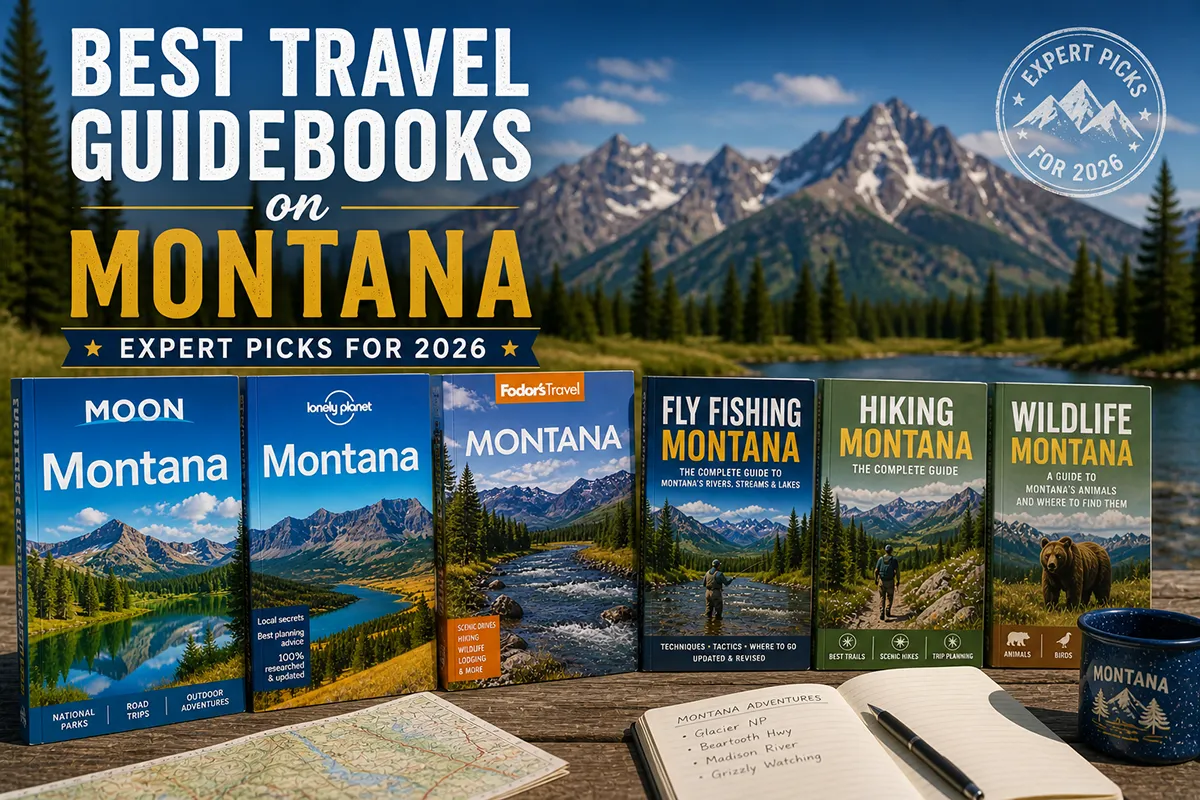
For deeper trip planning, I’ve found that travel guidebooks on Montana provide helpful context about regions you might not have considered, which can influence which airport or route you choose.
Final Thoughts on Getting to Montana
After all these trips, all these routes, and all these calculations, here’s what I’ve concluded: there’s no single “best” way to reach Montana. The right choice depends entirely on where you’re starting, how much time you have, what you want to see, and whether you value the journey or just want to get there.
What I can tell you is this—Montana rewards travelers who put thought into their arrival. Flying into Glacier Park International instead of Bozeman can transform your first day from an exhausting drive into immediate park exploration. Taking the scenic route through Beartooth Pass instead of racing up I-90 can turn transit time into a highlight.
The state’s isolation, which once made it difficult to reach, now makes arrival feel like an achievement. However you get there—stepping off a plane in Bozeman, crossing the state line on I-90, or watching the mountains grow through a train window—you’ll understand why people travel so far to experience Big Sky Country.
Start planning your route, and I’ll see you out there.
Frequently Asked Questions
What is the cheapest way to get to Montana from out of state?
Flying into Bozeman or Billings typically offers the most affordable airfare, with tickets from major US cities ranging from $150-$400 depending on season. I’ve found that booking 6-8 weeks in advance and flying midweek can save you up to 30% compared to weekend travel. If you’re driving from nearby states like Washington or Wyoming, gas costs average around $80-$150 one way depending on your vehicle.
Which Montana airport should I fly into for Glacier National Park?
Glacier Park International Airport (FCA) in Kalispell is your best bet, located just 30 miles from Glacier’s west entrance. I recommend this airport over Missoula (which is 150 miles away) unless you find significantly cheaper flights there. During peak summer season, FCA has direct flights from major hubs like Denver, Seattle, Salt Lake City, and Minneapolis.
How long does it take to drive to Montana from major US cities?
From Seattle, expect about 9-10 hours to reach western Montana; from Denver, it’s roughly 8-9 hours to Billings. Salt Lake City to Bozeman takes approximately 6 hours via I-15, making it one of the shorter drives. I always add an extra hour or two for mountain passes, especially during winter when road conditions can slow you down significantly.
Is Amtrak a good option for getting to Montana?
Amtrak’s Empire Builder route runs across northern Montana with stops in Whitefish, East Glacier, and several smaller towns, making it a scenic option for reaching Glacier National Park. The journey from Seattle takes about 15 hours and costs $80-$200 depending on when you book. I’ve taken this route twice and while it’s slower than flying, the views through the Rockies are absolutely worth it if you have the time.
What is the best time of year to travel to Montana for first-time visitors?
Late June through early September offers the best weather and full access to mountain roads and national park attractions. If you’re flying in, expect peak pricing in July and August when temperatures are comfortable in the 70s-80s°F. I personally prefer early September when crowds thin out, prices drop by 20-30%, and fall colors start appearing in the valleys.
Do I need a rental car to get around Montana?
Yes, a rental car is essentially mandatory for exploring Montana since public transportation is extremely limited outside of a few shuttle services near Glacier. Rental cars at Montana airports typically run $50-$120 per day depending on season, and I strongly recommend booking well in advance for summer trips. Consider an SUV or all-wheel-drive vehicle if you’re visiting between October and May due to unpredictable mountain weather.
Can I take a bus to Montana from nearby states?
Greyhound and Jefferson Lines operate limited bus routes to Montana cities like Billings, Missoula, and Bozeman, but service is infrequent and travel times are long. A bus from Salt Lake City to Bozeman takes around 10 hours and costs $60-$100 one way. Honestly, I only recommend this option for budget travelers with flexible schedules since you’ll still need transportation once you arrive.
Sources