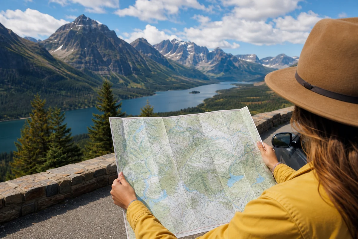
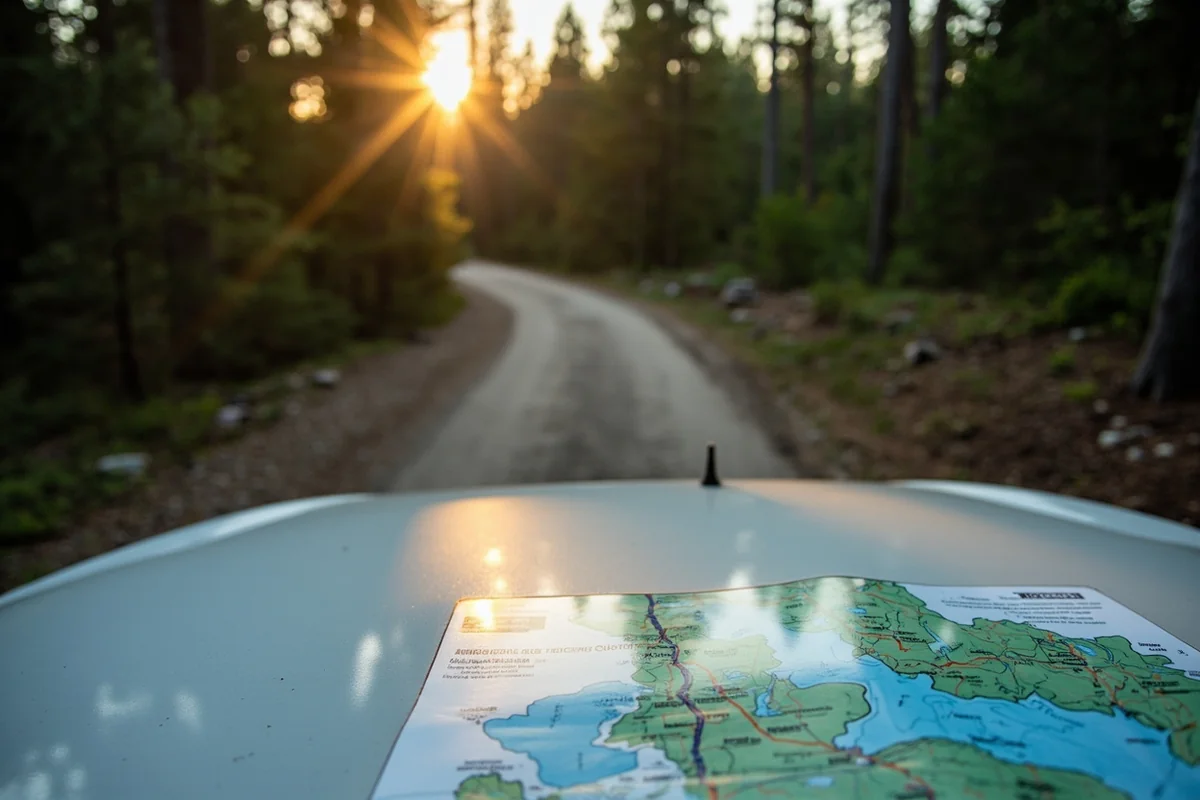
I was somewhere between Missoula and the Idaho border when my phone lost signal for the third time that day, and I realized that the crumpled paper road map wedged between my passenger seat and center console had just become my most valuable possession.
That moment—standing at a pullout near Lolo Pass, unfolding a physical map across my hood while snow dusted the Bitterroots—taught me something every Montana traveler needs to understand: navigating this state is an adventure unto itself, and preparation makes all the difference.
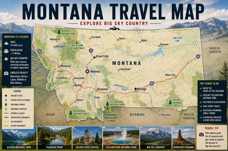
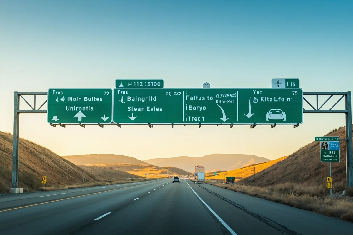
Whether you’re planning routes using a comprehensive Montana travel map with cities or relying on GPS, understanding how Montana’s road system actually works will transform your trip from stressful to spectacular.
- Montana has over 74,000 miles of public roads, but only two interstates—I-90 and I-15—making highway navigation simpler than you’d expect
- Always carry a physical road map; cell service disappears across roughly 40% of the state’s most scenic areas
- Seasonal road closures affect major routes including Going-to-the-Sun Road (typically closed October through June) and Beartooth Highway (mid-October to late May)
- The state’s numbered highway system uses logical patterns: US routes for major corridors, MT routes for regional connections, secondary routes often unpaved
- Download offline maps, check road conditions at 511mt.net, and plan for longer drive times than GPS estimates suggest
Why Montana Road Navigation Is Unlike Anywhere Else
During my first Montana road trip back in 2018, I made the rookie mistake of assuming navigation here would work like driving through Colorado or California. I quickly learned otherwise when what Google Maps called a “minor delay” turned into a three-hour detour around a washout on a Forest Service road outside Red Lodge.
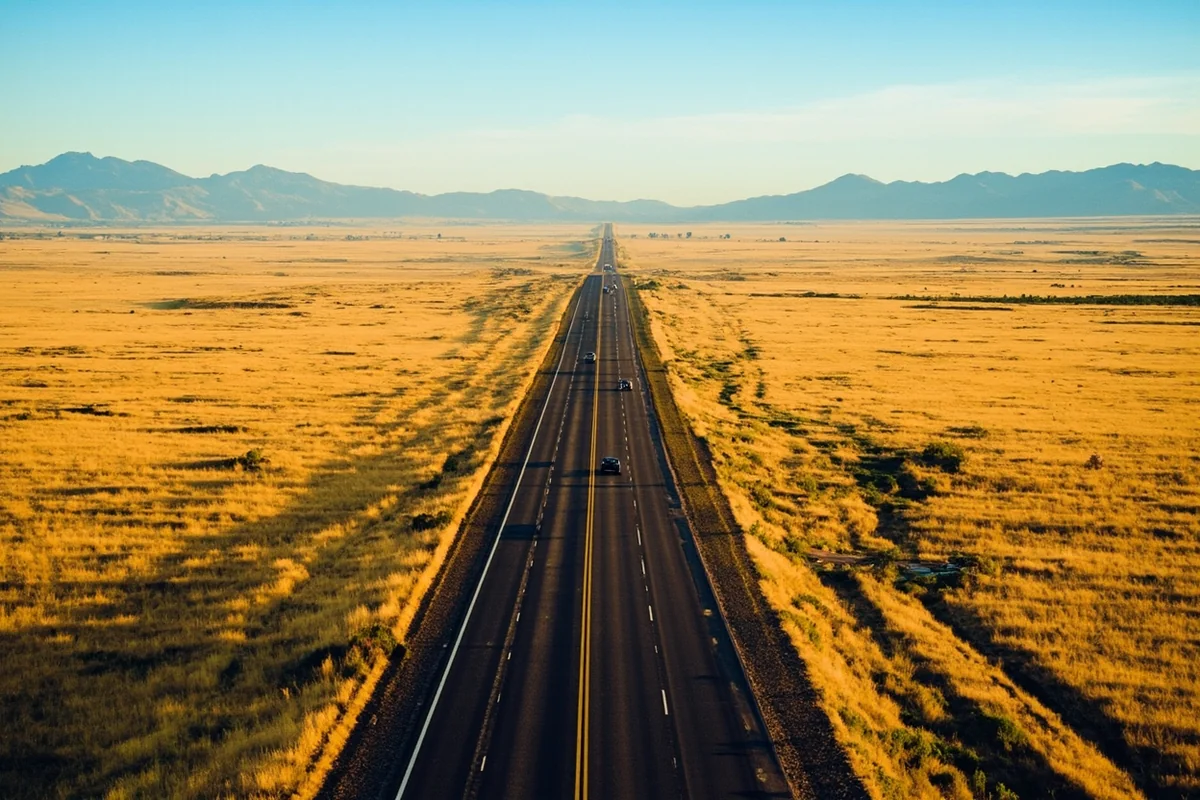
Montana is the fourth-largest state by land area but ranks 44th in population. That math creates a unique driving reality: vast distances between services, limited road options in many areas, and infrastructure that can change dramatically with weather and season.
The state contains approximately 74,000 miles of public roads. Of those, about 10,000 miles are state-maintained highways, while the rest falls under county, city, or federal jurisdiction. Understanding who maintains what matters because road conditions vary enormously depending on that classification.
The Two Interstate Lifelines
Montana’s simplicity starts with its interstate system. Unlike the spaghetti maps of eastern states, Montana has exactly two interstates: I-90 running east-west across the southern third of the state, and I-15 running roughly north-south through the western portion.
I-90 enters Montana near St. Regis from Idaho and crosses 550 miles to the Wyoming border near Hardin. This is the state’s primary east-west corridor, passing through Missoula, Butte, Bozeman, Livingston, and Billings.
I-15 enters from Idaho near Monida, passes through Butte and Helena, then continues to the Canadian border at Sweetgrass. These two interstates intersect at Butte, making that city the unofficial crossroads of Montana travel.
When I’m short on time and just need to cover ground, these interstates deliver reliable, well-maintained travel. But they’ll also show you the least interesting slices of Montana.
Understanding Montana’s Highway Numbering System
Once you leave the interstates, Montana’s highway system follows patterns that become intuitive once you recognize them. Grasping this numbering logic has saved me from wrong turns more times than I can count.
US Routes: The Major Corridors
US-numbered highways represent the state’s primary non-interstate routes. These are federally designated and generally offer good pavement, regular services, and year-round maintenance.
US-2 is the crown jewel—the “Hi-Line” running east-west across Montana’s northern tier from Troy to the North Dakota border. I drove this entire route last summer and found it delivers quintessential Montana: endless wheat fields, small railroad towns frozen in time, and views of Glacier National Park’s peaks rising from the plains.
US-93 runs north-south through the Flathead and Bitterroot valleys, connecting Missoula to the Canadian border at Roosville. This is one of Montana’s most scenic drives, passing through the Mission Mountains corridor and along Flathead Lake.
US-87 serves as an alternative north-south route, running from Billings up through Lewistown and Havre. It’s less traveled than US-93 but passes through some of the state’s most authentic ranch country.
US-89 is perhaps my favorite—a route that connects Yellowstone’s north entrance through White Sulphur Springs, Great Falls, and up to Glacier National Park at St. Mary. During my recent trip through this corridor, I counted more pronghorn antelope than other vehicles.
Montana State Routes: Regional Connections
Routes designated with “MT” numbers are state highways maintained by the Montana Department of Transportation. Quality varies more than US routes, but most primary MT highways are paved and passable year-round.
MT-200 deserves special attention as Montana’s longest state route, stretching over 400 miles from the Idaho border near Heron to the North Dakota border near Fairview. I’ve driven sections repeatedly and found it reveals Montana’s diversity—from dense western forests through prairie ranch lands to badlands topography.
MT-1 connects Anaconda to Drummond via the historic Georgetown Lake area. On a recent trip, I found this short route packed with more nineteenth-century mining history than many states offer in their entirety.
MT-78 and MT-298 are lesser-known routes I’d recommend for photographers: both pass through the visually stunning Absaroka-Beartooth country south of Billings.
Secondary Numbers and Forest Service Roads
Three-digit and four-digit route numbers typically indicate county roads or Forest Service roads. This is where Montana navigation gets genuinely adventurous—and where your paper map becomes essential.
Many of these secondary routes are unpaved. Some are well-graded gravel suitable for any vehicle; others require high clearance or four-wheel drive. A few are barely maintained two-tracks.
I learned this lesson firsthand when my GPS directed me down Forest Service Road 315 outside Seeley Lake, promising a “shortcut” to Highway 200. What the algorithm didn’t mention was that spring snowmelt had turned the route into a muddy obstacle course that added two hours to my drive.
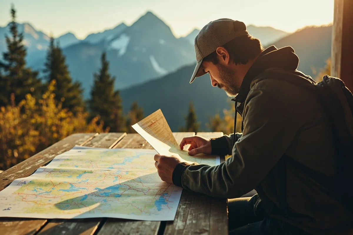
Essential Maps and Navigation Resources
Over years of Montana travel, I’ve developed a multi-layered navigation approach that combines old and new technology. Neither alone is sufficient.
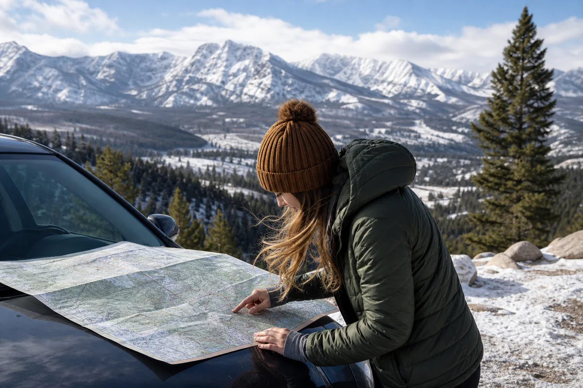
Paper Maps: Non-Negotiable
I carry at least two physical maps on every Montana trip. My go-to is the Benchmark Montana Road & Recreation Atlas, a spiral-bound book that breaks the state into detailed sections showing topography, public lands, campgrounds, and road classifications.
The Montana Department of Transportation also publishes a free official highway map, available at visitor centers and rest areas or by mail. It lacks the detail of the Benchmark atlas but excels at showing current highway routes and approximate mileages.
For backcountry exploration, I’ll add US Forest Service motor vehicle use maps (MVUMs) for specific national forests. These free maps—available at ranger stations or downloadable from the Forest Service website—show exactly which roads are open to vehicles, which require permits, and which have seasonal closures.
Digital Resources Worth Downloading
Technology helps, but only if you prepare before losing signal. I download offline maps for my entire route before leaving home.
Google Maps allows offline area downloads up to about 1,500 square miles per map. For a Montana road trip, I typically download 8-10 overlapping areas to ensure coverage.
Gaia GPS is my preferred app for backcountry navigation. Its subscription service ($40/year) provides detailed topographic maps, public land boundaries, and excellent offline functionality. During a trip through the Big Snowy Mountains last fall, Gaia was the only app that showed the county road I needed.
OnX Hunt, despite its name, has become popular among road trippers for its detailed property boundaries and road network data. At $30/year for a single-state subscription, it’s worth considering if you’re planning extensive exploration.
The 511MT System
Before any Montana drive, I check 511mt.net or call 511 from any phone. This system provides real-time road conditions, construction updates, and camera views from locations statewide.
During my drives through Lookout Pass on I-90 and Marias Pass on US-2, I’ve learned that conditions can change dramatically within a few miles. What’s clear pavement in Missoula might be snow-packed and icy at the pass just 60 miles away.
The 511 cameras are particularly valuable during winter. I once waited an extra day in Great Falls after checking cameras showed whiteout conditions on I-15 north of Dutton—a decision that likely prevented a dangerous drive.

Montana’s Most Important Scenic Routes
Beyond basic navigation, understanding Montana’s designated scenic routes helps you make the most of road time. For a visual overview of key destinations along these routes, the map of Montana attractions provides excellent context for trip planning.
Going-to-the-Sun Road
This 50-mile route through Glacier National Park is Montana’s most famous drive—and its most restrictive. The road typically opens in late June or early July and closes again by mid-October, depending on snowfall.
I’ve driven Going-to-the-Sun Road four times across different years, and I can confirm that early morning visits (before 8 AM) or late afternoon arrivals offer the best experience. Midday traffic in July and August creates backups that can add an hour to your crossing.
The road has vehicle restrictions: nothing over 21 feet long or 8 feet wide can pass through the middle section. If you’re driving an RV or towing a trailer, you’ll need to leave it outside the park or take a shuttle.
Beartooth Highway
US-212 from Red Lodge to Cooke City might be the most dramatic paved road in the lower 48 states. It climbs to nearly 11,000 feet, crosses alpine tundra, and delivers views that had me stopping every few minutes during my first traverse.
Like Going-to-the-Sun, Beartooth Highway closes seasonally—typically mid-October through late May. Even when officially open, snow can close it temporarily well into June.
I drove this route last July and found snow still piled 10 feet high along the road near the summit. The temperature dropped 35 degrees between Red Lodge and the top. Bring layers regardless of the season.
Pioneer Mountains Scenic Route
MT-484 south of Wise River is a hidden gem I discovered accidentally when construction closed my planned route several years ago. This 44-mile loop climbs through the Pioneer Mountains past ghost towns, abandoned mines, and subalpine lakes.
The route is partially unpaved but generally suitable for passenger cars in summer. It connects to Polaris and the ghost town of Coolidge, offering history buffs a chance to explore genuine mining-era remains.
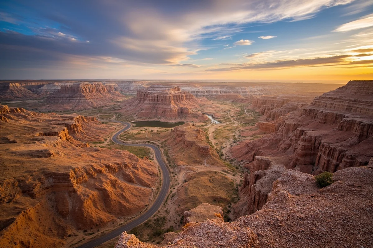
The Charles M. Russell Scenic Route
US-191 through the Missouri River Breaks showcases a Montana landscape most visitors never see. I drove this route from Lewistown to Malta on a recent trip and encountered perhaps ten other vehicles over 90 miles.
The breaks—dramatic eroded badlands formations carved by the Missouri River—look like something from the American Southwest transplanted to the northern plains. Plan extra time here; the road drops into canyons and climbs through formations that beg for photography stops.
Seasonal Road Considerations
Montana’s seasons create a road network that’s effectively different from month to month. Understanding these patterns is essential for realistic trip planning.
Winter: November Through March
I’ve driven Montana in every month, and winter demands the most respect. Interstate highways remain open and plowed during most conditions, but mountain passes can close temporarily during severe storms.
Lookout Pass on I-90 and Marias Pass on US-2 see the heaviest winter weather. Both routes require chain requirements more often than the Montana sections of I-90 or I-15.
Secondary highways get plowed less frequently in winter. If you’re planning to drive routes like MT-200 or US-89 during winter months, add significant buffer time and carry emergency supplies.
I always pack a winter kit for cold-month driving: blankets, food, water, a shovel, traction devices, and a fully charged phone battery bank. The time I slid into a ditch near Augusta during a January snowstorm taught me these precautions aren’t optional.
Spring: April Through June
Spring is Montana’s trickiest driving season. Lower elevation roads clear while high passes remain snowbound. Frost heaving creates potholes that can damage tires and suspension.
Mud season affects many Forest Service and county roads from late March through May. Routes that are excellent in summer become impassable quagmires when snowmelt saturates unpaved surfaces.
River flooding occasionally closes lowland roads during heavy runoff years. The 2022 floods that devastated parts of Yellowstone also closed roads throughout south-central Montana for weeks.
Summer: July Through September
This is Montana’s prime road season. High passes open, construction projects proceed (sometimes causing delays), and nearly every route becomes accessible.
Fire season can impact road travel starting in mid-July. Smoke reduces visibility in valley areas, sometimes dramatically. In 2017, I drove US-93 through the Flathead Valley in smoke so thick that headlights were required at noon.
Road closures due to active fires are less common but do occur. Check inciweb.nwcg.gov for current fire information before traveling through fire-prone areas.
Fall: October Through November
Early fall—through mid-October—offers ideal driving conditions. Traffic decreases after Labor Day, high passes remain open, and fall colors create spectacular scenery.
By late October, high-elevation routes begin closing. Plan any Beartooth Highway or Going-to-the-Sun Road travel for early in the month.
Hunting season brings increased traffic on backcountry roads from late September through November. You’ll encounter more vehicles on Forest Service roads, and some areas may have restricted access during hunting seasons.
| Route | Typical Opening | Typical Closing | Notes |
|---|---|---|---|
| Going-to-the-Sun Road | Late June/Early July | Mid-October | Vehicle size restrictions apply |
| Beartooth Highway (US-212) | Late May | Mid-October | Weather can close temporarily in summer |
| Chief Joseph Scenic Highway | Late May | Mid-October | Connects to Beartooth Highway |
| Most Forest Service Roads | June | October/November | Check specific forest for details |
Practical Tips From Hard-Won Experience
After logging thousands of miles on Montana roads, I’ve collected advice that goes beyond what any map can show.
Fuel Strategy
Never pass a gas station with less than a quarter tank in Montana. I learned this rule after a nervous 60-mile stretch on US-87 when my fuel light came on and the next town’s only station was closed for renovation.
Outside major corridors, gas stations may close by 8 or 9 PM. Some small-town stations close entirely on Sundays. Planning fuel stops in advance—actually noting on your map where you’ll fill up—prevents anxious situations.
Prices vary substantially across the state. I’ve seen a 40-cent-per-gallon difference between interstate stations and small-town pumps within the same week. Generally, larger towns like Missoula, Billings, and Great Falls offer the best prices.
Cell Service Reality
Expect to lose cell signal regularly outside urban areas and interstate corridors. I’ve found that roughly 40% of my Montana driving happens without usable data.
Verizon and AT&T generally provide the best rural coverage, though neither is reliable everywhere. T-Mobile and smaller carriers have significant gaps outside populated areas.
Some satellite messenger devices (Garmin inReach, Zoleo, SPOT) work when cell phones don’t. For remote backcountry driving, I consider these devices essential safety equipment.

Wildlife Hazards
Montana road maps don’t show wildlife crossings, but collisions with animals represent a genuine driving hazard—especially at dawn, dusk, and night.
Deer and elk cause the most vehicle collisions. I’ve had close calls on US-93 in the Mission Valley, US-89 north of White Sulphur Springs, and MT-200 through the Blackfoot Valley—all areas with high wildlife populations.
Bison present unique challenges near Yellowstone’s north entrance along US-89. They’re unpredictable, can weigh 2,000 pounds, and sometimes decide to stand in the middle of the road.
Reduce speed during low-light hours and scan roadside areas constantly. If an animal is on the shoulder, slow down—where there’s one deer, there are usually more.
Road Conditions vs. GPS Estimates
Add 10-20% to any GPS time estimate for Montana driving. Algorithms assume you’ll maintain speed limits continuously, but Montana’s reality includes slow-moving farm equipment, construction zones, wildlife stops, and the irresistible pull of scenic pullouts.
For gravel roads, I double the GPS estimate. What Google says should take 45 minutes often takes 90 when you’re navigating washboards, loose gravel, and occasional stream crossings.
Mountain passes also slow travel more than GPS expects. The switchbacks on US-212 over Beartooth or MT-43 over Chief Joseph Pass require speeds well below posted limits for safe driving.
Emergency Preparedness
Every Montana road trip should include basic emergency supplies. The distances between services and the unpredictability of conditions make preparation essential rather than optional.
My standard kit includes: two gallons of water, non-perishable snacks, a first aid kit, flashlight with extra batteries, basic tools, jumper cables, tow strap, warm clothing regardless of season, and a paper map.
For winter travel, I add: sleeping bag, hand warmers, snow shovel, kitty litter or sand for traction, and a candle with matches (a candle in a closed vehicle provides surprising warmth).
Planning Routes: A Practical Framework
When I sit down to plan a Montana road trip, I follow a process that balances ambition with realistic expectations.
Start With Anchors
Identify your must-see destinations first. For most visitors, these anchor points include Glacier National Park, Yellowstone’s Montana entrances, or specific towns like Missoula, Bozeman, or Whitefish.
Once you know your anchors, the road map reveals logical corridors between them. Trying to visit Glacier and Yellowstone on a week-long trip, for example, almost always requires some combination of I-90, US-89, or US-287.
Build In Buffer Days
Montana punishes rushed itineraries. Weather delays, unexpected discoveries, and the sheer scale of distances require flexible schedules.
I recommend planning no more than 250-300 miles of driving per day, and fewer if your route includes significant unpaved sections. That sounds modest, but factors in photo stops, meal breaks, and the inevitable detour down an intriguing side road.
Accept That You Can’t See Everything
Montana is simply too large to comprehensively explore in a single trip. I’ve been visiting for years and still have entire regions I haven’t properly experienced.
Focus on one or two areas rather than racing across the state. A week in just the Glacier region or just the Yellowstone area will prove more satisfying than trying to cover both superficially.
Specific Route Recommendations
Based on my travel, here are itineraries that work well for various trip lengths and interests.
One Week: Greatest Hits
Fly into Bozeman, spend two days exploring Yellowstone’s north loop, then drive US-89 north through the Paradise Valley and over the Smith River canyon to Great Falls. Head west on US-2 to Glacier, spend three days there, then return via Missoula and I-90.
This route covers approximately 1,000 miles and hits both major national parks with manageable daily drives.
Two Weeks: Deep Dive
Start in Missoula and spend the first week in northwestern Montana: the Bitterroot Valley, Flathead Lake, Glacier National Park, and the Seeley-Swan corridor. Second week, head east on US-2 across the Hi-Line to Fort Peck, south through the Missouri Breaks, and back to Missoula via Lewistown and Helena.
This itinerary reveals Montana beyond the postcard highlights and totals roughly 1,500 miles.
Long Weekend: Focused Experience
For a three-day trip from Bozeman, I’d suggest the Beartooth Highway loop: south to Red Lodge, over the pass to Cooke City, into Yellowstone briefly at the Northeast Entrance, then back through Livingston.
This creates a manageable 250-mile loop with maximum scenic impact and access to one of America’s greatest mountain drives.
Final Thoughts on Montana Road Navigation
A Montana road map is more than a navigation tool—it’s a promise of adventure and a reminder of scale. Every line on that map represents a story waiting to unfold, from sweeping interstate views to gravel tracks that disappear into wilderness.
After all my Montana travels, I’ve come to view getting a little lost as part of the experience. Some of my best discoveries—a hot spring unmarked on any tourist guide, a wildlife sighting on an empty county road, a conversation with a rancher at a small-town café—happened when I wandered from my planned route.
Carry good maps, check conditions before you drive, prepare for contingencies, and then let Montana’s roads take you somewhere unexpected. That’s where the real adventure lives.
The state’s road system might seem simple compared to more populated areas, but that simplicity is a gift. Fewer choices mean clearer decisions, and clearer decisions mean more time absorbing the scenery rather than stressing about navigation.
Download those offline maps, stash a paper atlas behind your seat, and set out with more flexibility than certainty. Montana’s roads will show you exactly why this state earned its Big Sky reputation—one spectacular mile at a time.
Frequently Asked Questions
Where can I get a free Montana road map for my trip?
I always recommend stopping at Montana visitor centers along major highways like I-90 or I-15, where you can pick up free official state road maps. You can also request a free Montana travel planner and map from the Montana Office of Tourism website about 2-3 weeks before your trip arrives.
What are the most scenic driving routes to include on my Montana road trip map?
The Going-to-the-Sun Road in Glacier National Park is absolutely unmissable, though it’s only open from late June through mid-October. I’d also mark the Beartooth Highway (US-212) near Yellowstone and the Paradise Valley route along Highway 89 south of Livingston on your Montana road map for jaw-dropping mountain scenery.
How many miles across is Montana and how long does it take to drive?
Montana stretches approximately 550 miles from east to west along I-90, which takes about 8-9 hours of nonstop driving. From north to south, you’re looking at roughly 320 miles and 5-6 hours, so I always tell travelers to plan for longer driving days than they might expect.
Do I need a paper Montana road map or will GPS work throughout the state?
I strongly recommend carrying a printed Montana road map because cell service drops out frequently in rural areas, mountain passes, and even parts of Glacier and Yellowstone. My GPS has failed me multiple times on backcountry roads, so having a physical AAA or Benchmark Montana Road Atlas as backup has saved several of my trips.
What road conditions should I check before driving Montana highways in winter?
Montana roads can become treacherous from October through April, so I check the Montana Department of Transportation’s 511 road conditions website daily during winter trips. Mountain passes like Lookout Pass and Marias Pass frequently close during snowstorms, and you’ll want to carry chains, emergency supplies, and budget extra time—sometimes entire days—for weather delays.
How much should I budget for gas when road tripping across Montana?
Gas prices in Montana typically run $3.20-$4.00 per gallon, and with distances between towns sometimes exceeding 80-100 miles, I budget around $150-$200 for a week-long road trip covering 1,000+ miles. Fill up whenever you see a station in rural eastern Montana especially, since the next gas stop might be an hour away.
What are the best Montana road map apps that work offline?
I download offline maps through Google Maps and Gaia GPS before entering Montana’s backcountry areas where service disappears. The onX Offroad app is worth the $30/year subscription if you’re planning to explore Forest Service roads or BLM lands that don’t appear on standard navigation apps.
Sources