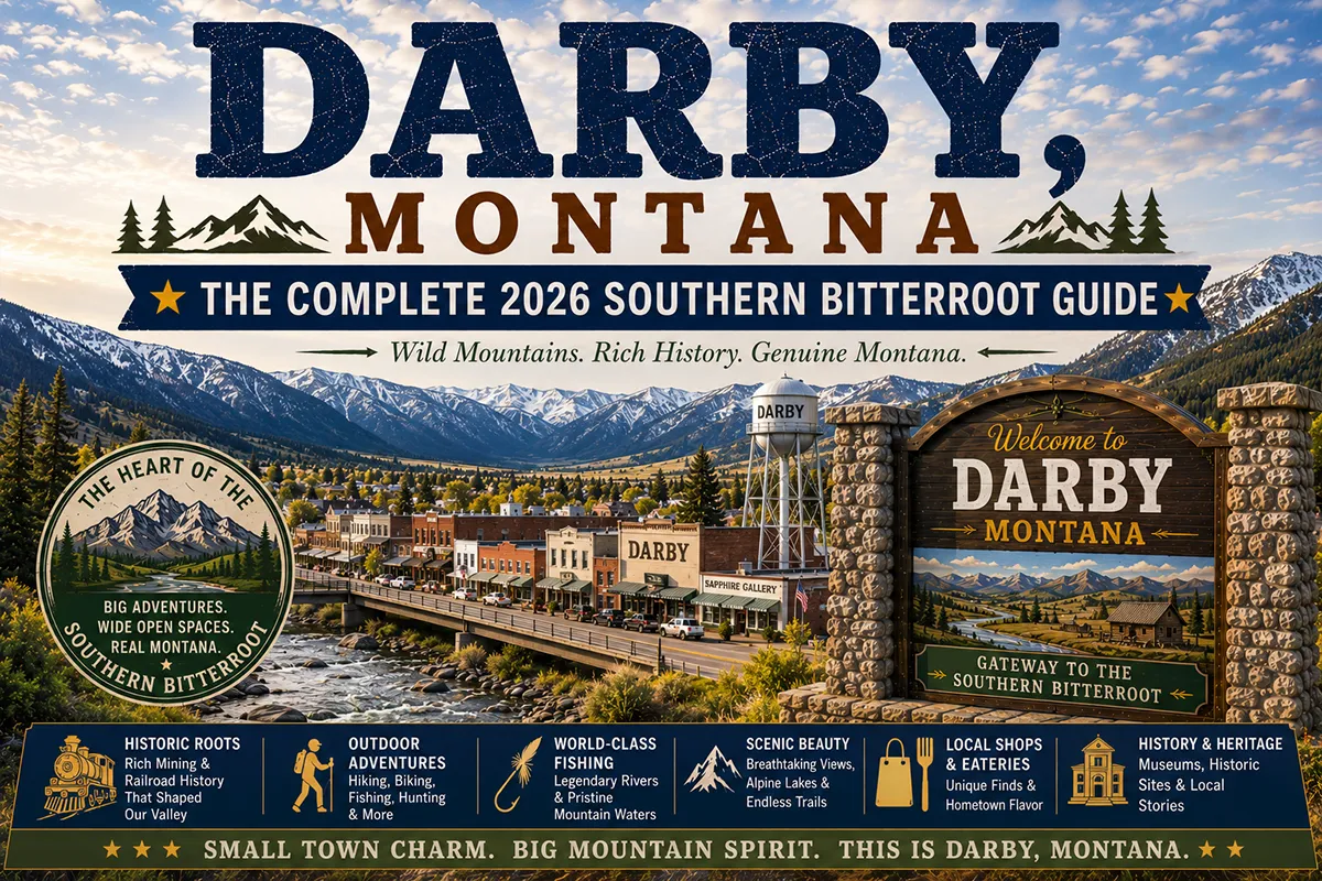
Thirty miles south of Hamilton, the Bitterroot Valley stops pretending to be farmland and becomes wilderness. The mountains close in, the valley floor narrows, and at Darby the road splits — east fork and west fork — heading into separate mountain corridors.
The East Fork climbs toward the Anaconda-Pintler Wilderness. The West Fork winds through canyon country to Painted Rocks Reservoir, deep in the Bitterroot Mountains. Darby, a town of about 700, sits at this split. It’s the last real town before the southern Bitterroot goes fully wild.
TL;DR
- Darby (~700) is the southernmost substantial town in the Bitterroot Valley on US-93 — 20 miles south of Hamilton and 45 miles north of Lost Trail Pass.
- The West Fork Road leads from Darby 20 miles to Painted Rocks State Park — a reservoir surrounded by the Bitterroot Mountains and one of the valley’s most scenic drives.
- Trapper Peak (10,157 ft) — the highest mountain in the Bitterroot Range — is accessible from West Fork trailheads.
- East Fork Bitterroot River provides excellent brown and cutthroat trout fishing.
- Lost Trail Powder Mountain ski area is 45 miles south on the Montana-Idaho border.
- Best for: wilderness hikers, Bitterroot anglers, remote canyon drivers, and off-the-beaten-path Bitterroot travelers.
Liked this article?
Add Roaming Montana as a preferred source so you see more of our articles and guides on Google.
Darby at a Glance
| Population (2020) | ~700 |
|---|---|
| County | Ravalli County |
| Region | Western Montana (Bitterroot Valley) |
| Elevation | 3,886 ft |
| Distance to Hamilton | ~20 miles north (~25 min) |
| Distance to Lost Trail Pass | ~45 miles south (~55 min) |
| Distance to Missoula | ~70 miles north (~1.25 hours) |
| Best for | Painted Rocks drive, Trapper Peak wilderness, East Fork fishing, remote southern Bitterroot |
What Makes Darby Different
The valley south of Hamilton gets progressively more remote and mountain-dominated. Darby is the last community of any size before the valley splits into the East and West Forks. Beyond Darby, the choices are wilderness or Idaho.
The West Fork Road — formally West Fork Road/Forest Service Road 473 — is the drive that defines Darby. Starting in town and heading southwest, the road follows the West Fork of the Bitterroot River through a narrowing canyon for about 20 miles to Painted Rocks Reservoir.
The drive itself is destination-worthy — canyon walls rising, the river running clear beside the road, occasional deer and elk visible on the slopes. Painted Rocks Reservoir provides camping, boating, and fishing at the end of the drive.
Trapper Peak towers above the West Fork — at 10,157 feet, the highest summit in the Bitterroot Range. The trail to the peak is long (7+ miles one-way) and strenuous, but rewarding. Multiple shorter trails in the West Fork drainages are accessible for day hikers.
For broader trip context, see my Montana cities and towns hub.
The Top 10 Things to Do In & Around Darby
1. Drive the West Fork Road to Painted Rocks
The signature Darby experience — follow the West Fork Road from town approximately 20 miles through the canyon to Painted Rocks State Park and Reservoir. The drive alone is worth the trip; the reservoir provides a destination. Allow 2–3 hours round trip including stops.
2. Painted Rocks State Park
A mountain reservoir in the West Fork Bitterroot drainage — boating, fishing (rainbow and brown trout), swimming, and camping. Set against dramatic Bitterroot Mountain scenery. State park campgrounds are available Memorial Day through Labor Day.
3. Hike to Trapper Peak
The highest point in the Bitterroot Range (10,157 ft). The Trapper Peak Trail starts at the Trapper Creek Job Corps trailhead, west of Darby. 7+ miles one-way with 4,000+ feet of elevation gain — this is a serious alpine hike for fit, experienced hikers. Views from the summit encompass the entire Bitterroot Valley and surrounding ranges.
4. East Fork Bitterroot River Fly Fishing
The East Fork Bitterroot rises in the Anaconda-Pintler Wilderness and joins the main river near Darby. Excellent brown trout and Westslope cutthroat access at multiple public sites. The upper East Fork is particularly productive.
5. Selway-Bitterroot Wilderness Access
Multiple trailheads west of Darby access the Selway-Bitterroot Wilderness — one of the largest wilderness complexes in the lower 48. Serious backcountry terrain requiring planning and preparation. Contact the Darby Ranger District for current conditions.
6. Ski Lost Trail Powder Mountain (45 miles south)
Montana’s oldest ski area on the Idaho border at Lost Trail Pass — affordable, local-culture mountain with 1,400 feet of vertical. See Hamilton guide for full context.
7. Sula Country Store & Restaurant (20 miles south)
A beloved mountain community gathering place in the tiny settlement of Sula on US-93 south of Darby — excellent stop for groceries, gas, and a meal before heading south into the pass.
8. Darby Pioneer Memorial Museum
Local history museum covering the timber, ranching, and Forest Service history of the southern Bitterroot Valley. Gives context for the area’s development and the communities that shaped it.
9. West Fork Fishing
The West Fork Bitterroot above Painted Rocks is excellent for smaller stream cutthroat and brown trout fishing — more intimate than the main river.
10. Bitterroot River (Main Stem) Near Darby
The Bitterroot flows through Darby — consistent brown and rainbow trout fishing with public access sites near town. More accessible than the forks for casual fishing.
Where to Stay
| Hotel | Vibe | Price | Best For |
|---|---|---|---|
| Wilderness Motel | Local, basic, clean | $90–130 | Most travelers |
| Painted Rocks Campground | Reservoir setting | $15–25 | Campers |
| West Fork Cabins / vacation rentals | Canyon or riverside | $150–300 | Couples, anglers |
| Hamilton (20 min north) | Full hotel selection | $140–230 | Travelers wanting more |
Where to Eat
- Darby Café — local breakfast and lunch
- Sula Country Store (20 min south) — excellent sandwiches and supplies; mountain community character
- Hamilton dining (20 min north) — best dinner options; see Hamilton guide
Getting There
From Hamilton: 20 miles south on US-93, about 25 minutes.
From Missoula: ~70 miles south on US-93, about 1.25 hours.
From Lost Trail Pass: 45 miles north on US-93, about 55 minutes.
When to Visit
Summer (June–August): Best for West Fork Road/Painted Rocks, Trapper Peak hiking, East Fork fishing. All campgrounds and facilities open.
Fall (September–October): Best brown trout fishing on the East Fork and main river; excellent elk activity. Darby area hunting culture is significant.
Winter (November–March): Lost Trail Powder Mountain ski season. US-93 to Lost Trail Pass generally stays open.
Spring (April–May): West Fork Road may be muddy or gated in early spring — check Darby Ranger District.
Personal Tips
West Fork Road is a must. Even non-hikers and non-anglers should drive the West Fork Road to Painted Rocks — the canyon scenery is exceptional and the 40-minute drive each direction is worth it for the views alone.
Trapper Peak requires a full day. Don’t attempt it as an afternoon hike. An early morning start (6–7 a.m.) with full supplies is the right approach.
Stop at Sula Country Store going south. On any drive to Lost Trail Pass, Sula is the last reliable food and fuel stop. They have excellent sandwiches.
East Fork is better than the main river for cutthroat. The upper East Fork holds genuine Westslope cutthroat in beautiful mountain stream conditions.
The southern Bitterroot feels different from the northern Bitterroot. Less developed, fewer people, more wildlife. The character shift is noticeable by Darby.
Darby Quick Facts
| Founded | 1880s (Bitterroot Valley settlement) |
|---|---|
| Named for | James W. Darby, early settler |
| Trapper Peak | 10,157 ft — highest in Bitterroot Range |
| Lost Trail Pass | 45 miles south on US-93 |
| Average summer high | 82°F |
| Average winter low | 14°F |
Conclusion
Darby marks the boundary between the cultivated Bitterroot Valley and the wild Bitterroot backcountry. The West Fork Road is one of Montana’s finest accessible canyon drives. Trapper Peak is the range’s highest summit. The East Fork delivers quieter, better trout fishing than most Bitterroot sections. For travelers who’ve seen Hamilton and the upper valley, continuing south to Darby is one of the best moves in the Bitterroot.
Have a Darby question? Drop it in the comments — I read every one.
Frequently Asked Questions
Is Darby Montana worth visiting?
Yes — Darby is worth visiting for the West Fork Road to Painted Rocks State Park (one of western Montana’s most scenic canyon drives), Trapper Peak wilderness hiking (the Bitterroot Range’s highest summit at 10,157 ft), East Fork Bitterroot trout fishing, and access to the Selway-Bitterroot Wilderness. It’s the southern end of the developed Bitterroot Valley and the gateway to genuinely remote terrain.
What is the West Fork Road near Darby?
The West Fork Road runs approximately 20 miles southwest from Darby through the West Fork Bitterroot River canyon to Painted Rocks State Park and Reservoir. The canyon drive is scenic and worth doing even without hiking — passing through narrowing canyon terrain with the river alongside. Painted Rocks Reservoir at the end provides camping, boating, and fishing.
What is Trapper Peak near Darby?
Trapper Peak (10,157 ft) is the highest summit in the Bitterroot Mountain Range, located in the Selway-Bitterroot Wilderness above the West Fork drainage near Darby. The trail is approximately 7 miles one-way with 4,000+ feet of elevation gain — a serious day hike for experienced, fit hikers with an early start.
How far is Darby from Hamilton?
Darby is approximately 20 miles south of Hamilton on US-93 — about a 25-minute drive. Hamilton is the nearest substantial town with full hotel and dining options.
Is there good fly fishing near Darby Montana?
Yes — the East Fork Bitterroot River above Darby is excellent for Westslope cutthroat and brown trout, particularly in the upper reaches closer to the Anaconda-Pintler Wilderness. The West Fork above Painted Rocks is productive for smaller stream fishing. The main Bitterroot River through Darby also provides accessible brown and rainbow trout fishing.