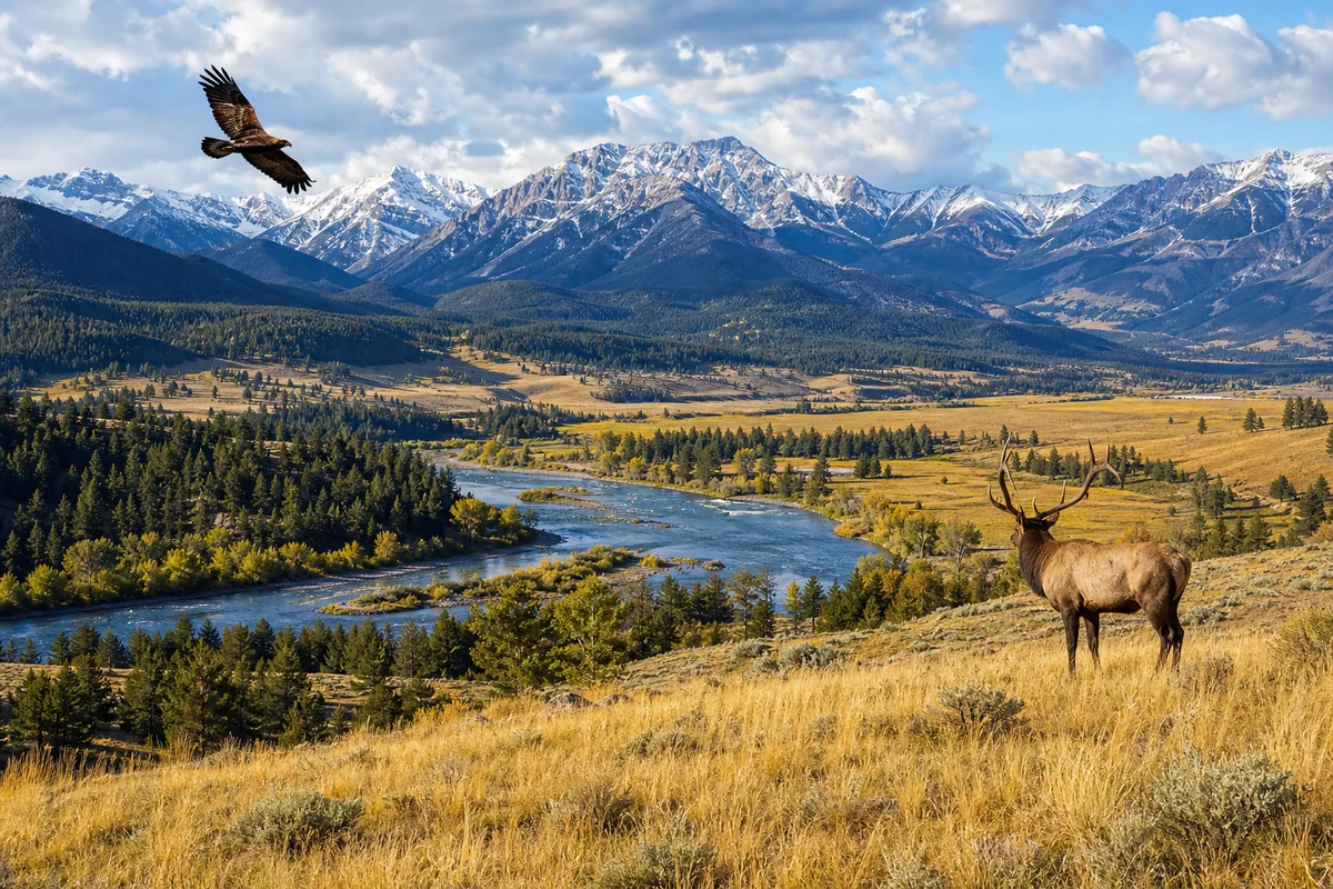
Standing at the Port of Chief Mountain last September, I watched the sun paint the Rocky Mountains gold across two countries simultaneously—a view that perfectly captures why Montana’s position along the Canadian border makes it one of America’s most uniquely situated states.
That moment, with Glacier National Park stretching behind me and Alberta’s Waterton Lakes visible ahead, reminded me why understanding where Montana is located matters so much for planning an unforgettable trip.
- Yes, Montana sits directly on the Canadian border, sharing 545 miles with three Canadian provinces (British Columbia, Alberta, and Saskatchewan)
- Montana has 14 official border crossing points, ranging from busy 24-hour ports to tiny seasonal crossings
- The border region offers incredible experiences including the Waterton-Glacier International Peace Park—the world’s first
- Crossing requires valid passport, passport card, or NEXUS card for US citizens returning home
- Border towns like Sweetgrass, Roosville, and Eureka offer unique small-town Montana experiences
- The 49th parallel runs straight across Montana’s northern edge with fascinating historical significance
The Geographic Reality: Montana’s Northern Edge
When I first moved to Montana over a decade ago, I was struck by how the Canadian border shapes daily life here in ways most Americans never consider. Montana doesn’t just touch Canada—it embraces 545 miles of international boundary, making it the third-longest US-Canada border of any state (after Alaska and Michigan).
This border isn’t just a line on a map. It’s a living, breathing part of Montana’s identity that affects everything from ecological diversity across different biomes to the cultural connections that span nations.
The border follows the 49th parallel from the Idaho border near Yaak all the way east to North Dakota. During my drives along Highway 2, which parallels much of this northern stretch, I’ve noticed how the landscape doesn’t care about political boundaries—the same prairie grasses wave on both sides, and the same mountain ranges refuse to acknowledge where America ends and Canada begins.
Three Provinces, One Montana Border
What surprises many travelers I meet is that Montana doesn’t just border “Canada” in some generic sense. We share frontiers with three distinct Canadian provinces, each offering different experiences for those who choose to cross.
British Columbia: The Western Mountains
The westernmost portion of Montana’s border meets British Columbia, and this is where I’ve found some of the most dramatic scenery. Near Eureka, the landscape is thick with evergreen forests that continue uninterrupted into Canada.
I crossed at Roosville during a spring road trip a few years back, and the transition felt almost invisible—except for the sudden appearance of kilometers instead of miles on the speed limit signs. British Columbia’s Kootenay region just north of the border mirrors the forested mountains of northwestern Montana’s Tobacco Valley.
Alberta: Gateway to the Rockies
The Alberta border section is where Montana’s Rocky Mountain majesty truly shines. This is the region I know best, having spent countless days exploring Glacier National Park and its Canadian sister, Waterton Lakes.
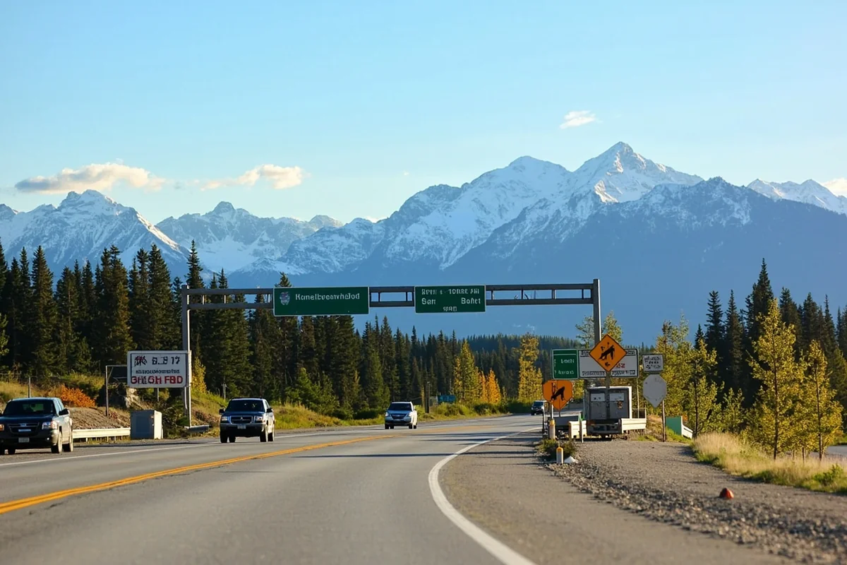
The Chief Mountain crossing, which I mentioned earlier, operates seasonally (typically May through September) and provides the most scenic border crossing I’ve experienced anywhere in North America. When I drove through there last fall, a park ranger on the Canadian side told me they’d seen grizzly bear activity near the crossing just that morning.
The town of Carway on the Alberta side feels like stepping back in time—a tiny community where cattle ranching still dominates and the pace of life moves with the seasons.
Saskatchewan: The Prairie Connection
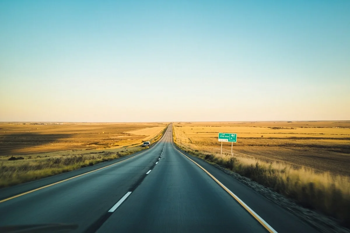
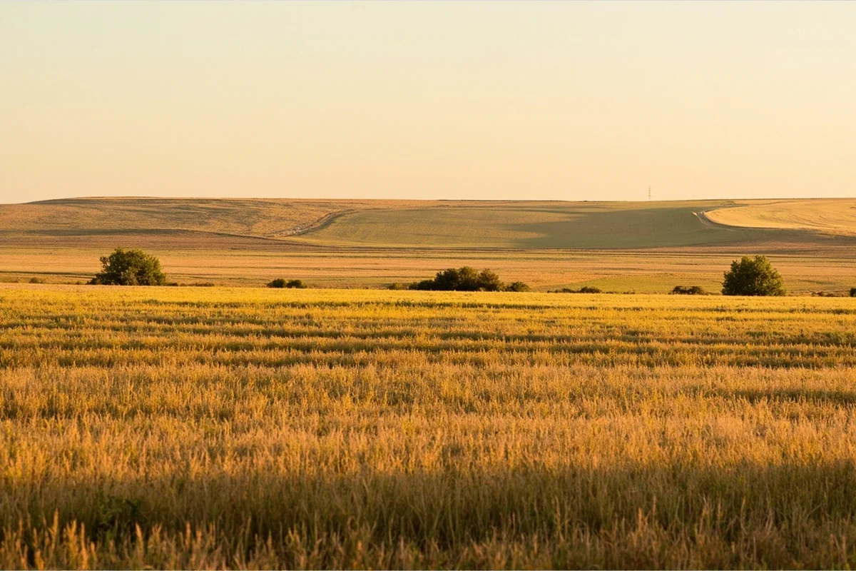
Eastern Montana’s border with Saskatchewan represents a completely different landscape. Here, the Rocky Mountains are distant memories, replaced by the sweeping grasslands that define Montana’s Great Plains character.
I drove up to the Willow Creek crossing near Scobey once, just to see what it looked like. The land was so flat I could see grain elevators in Canada from miles away on the American side. This agricultural region feels more connected to the Canadian prairies than to Montana’s western mountains—a reminder of how diverse this state really is when you consider Montana’s varying elevations.
Montana’s 14 Border Crossings: A Complete Guide
During my years exploring Montana’s northern reaches, I’ve crossed at several of these ports of entry. Here’s what you need to know about each one, based on my experiences and conversations with border agents.
| Port Name | Location | Hours | Notes |
|---|---|---|---|
| Roosville | Near Eureka | 24 hours | Gateway to BC’s Kootenay region |
| Piegan | Near Babb | 7am-11pm (seasonal hours) | Year-round crossing to Waterton |
| Chief Mountain | Glacier National Park | 9am-6pm (seasonal) | Open May-Sept only; most scenic |
| Sweetgrass | Near Shelby | 24 hours | Busiest MT crossing; I-15 |
| Del Bonita | South of Milk River | 9am-5:30pm | Quiet rural crossing |
| Wild Horse | Near Havre | 8am-9pm | Access to Cypress Hills |
| Morgan | Near Loring | 9am-5pm | Very remote; limited traffic |
| Turner | Near Turner | 9am-5:30pm | Small agricultural crossing |
| Whitetail | North of Whitetail | 8am-9pm (summer) | Seasonal hours vary |
| Opheim | Near Opheim | 9am-5pm | Minimal traffic; prairie views |
| Scobey | Near Scobey | 8am-9pm | Access to Coronach, SK |
| Willow Creek | Near Plentywood | 9am-5:30pm | Eastern Montana prairie |
| Raymond | Near Raymond | 9am-5:30pm | Small farming community |
My advice? If you’re planning to cross, call ahead or check the CBP website for current hours. I once showed up at Del Bonita at 4:30 PM, not realizing the hours had changed seasonally. The crossing was already closed, and I had to drive two hours east to find another option.
The Waterton-Glacier International Peace Park: Where Borders Disappear
No discussion of Montana’s Canadian border is complete without talking about what I consider one of the most remarkable places on Earth: the Waterton-Glacier International Peace Park.
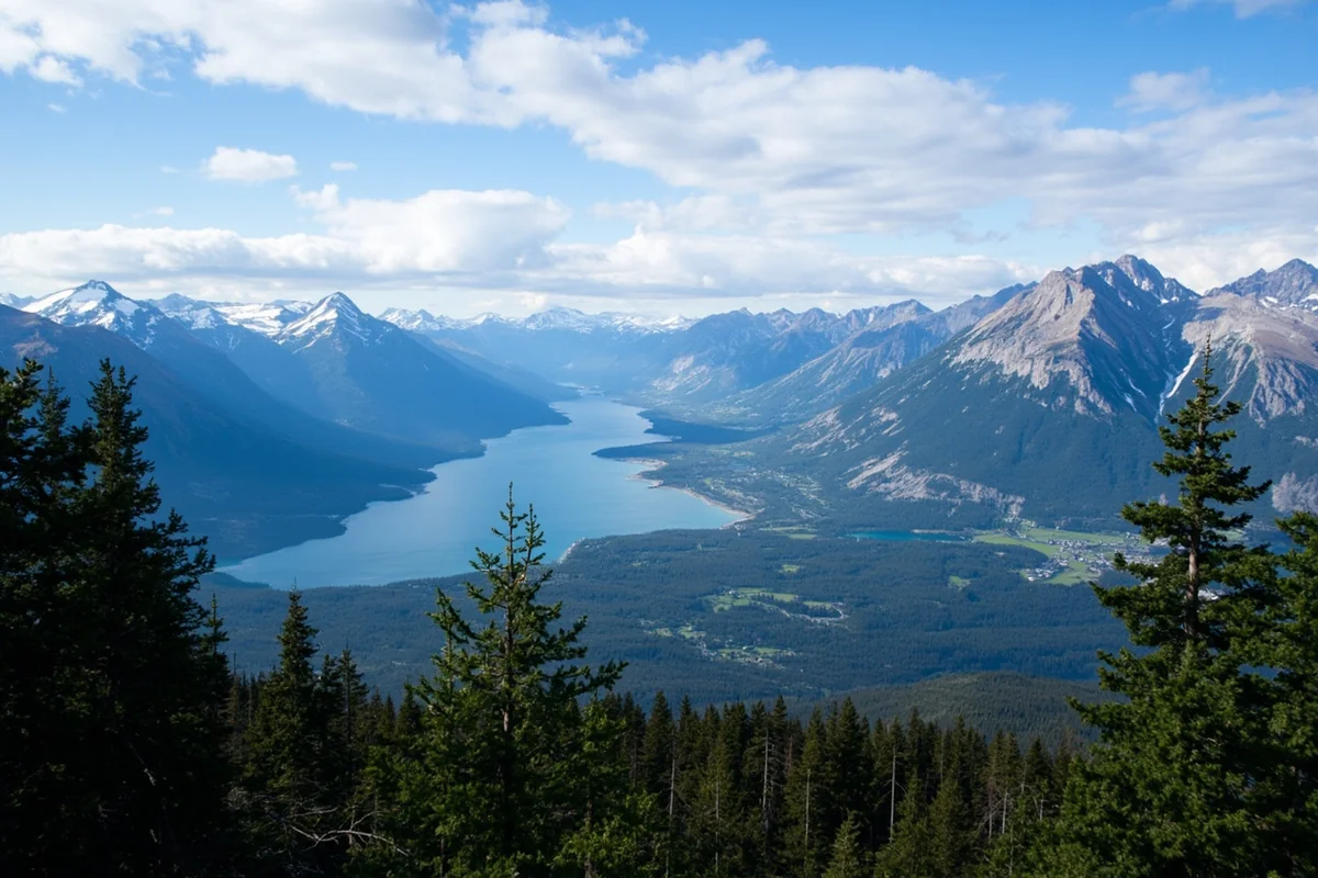
Established in 1932, this was the world’s first international peace park. When I hiked to Goat Haunt at the southern tip of Waterton Lake during a backpacking trip three summers ago, I watched a park ranger give a presentation to visitors from both countries about the shared conservation efforts that make this collaboration possible.
The wildlife here doesn’t recognize the border either. Grizzlies tracked by researchers move freely between nations, and the same wolf packs hunt on both sides. I’ve seen elk grazing within sight of the international boundary marker posts, completely oblivious to the political significance of their location.
Crossing by Boat at Goat Haunt
One of the most unique border crossings in North America isn’t a road at all. The historic boats that cruise Waterton Lake from the townsite down to Goat Haunt, Montana constitute an official port of entry.
I took this crossing on a windy August afternoon, and the Canadian border agent boarded the boat mid-lake to check passports before we docked at Goat Haunt. It felt surreal—like something from a different era of travel.
Note that Goat Haunt was restricted for several years following the Kenow Fire in 2017, which burned much of the surrounding area. When I returned in 2022, the landscape was still visibly recovering, with burned snags standing among new growth—a powerful reminder of the fire ecology that shapes both parks.
Border Towns Worth Visiting
Montana’s border communities have personalities as distinct as the landscapes they occupy. Since Montana is overwhelmingly rural, these towns tend to be small but full of character.
Eureka: Gateway to the Tobacco Valley
Eureka sits just south of the Roosville crossing, and I’ve grown to love this unpretentious logging town. With a population under 1,500, it feels like stepping into Montana’s past.
During my last visit, I stopped at the Tobacco Valley Historical Village, a collection of restored buildings from the area’s homesteading era. The volunteer guide, a lifelong Eureka resident, told me stories about the days when timber trucks crossed into Canada constantly and the border felt more like a formality than a barrier.
The town’s location makes it perfect for exploring both Glacier National Park (about 90 minutes southeast) and Canada’s Fernie, British Columbia (about an hour north). I’ve done day trips to Fernie’s ski resort from a base in Eureka—though you’ll want to carry your passport even for such casual excursions.
Sweetgrass: Where the Hi-Line Meets Canada
Sweetgrass might be the most ironically named town in Montana. It sits amid some of the least sweet-smelling country imaginable—vast agricultural lands where grain elevators dominate the skyline.
But there’s something compelling about this place. As the busiest border crossing in Montana, sitting at the junction of Interstate 15 and the Trans-Canada Highway, Sweetgrass sees trucks and travelers from across the continent.
I stopped here on a winter road trip, grabbing coffee at a small convenience store while semi-trucks idled in the cold, waiting their turn at the customs booths. The truck stop diner served surprisingly good pie—a tip from a driver headed to Calgary who said it was his regular stop.
Havre: The Hi-Line’s Biggest Town
While not directly on the border, Havre serves as the commercial hub for Montana’s northern tier and makes an excellent base for exploring the border region.
The Havre Beneath the Streets tour remains one of my favorite Montana experiences. During a visit a few years ago, I explored the underground businesses that operated below street level during the early 1900s—brothels, opium dens, and legitimate shops alike. This history connects directly to the border, as many Chinese immigrants arrived here via Canada during exclusionary periods of American immigration law.
Why the 49th Parallel? A Brief History
Every time I stand near the border and look at those white obelisks marking the international boundary, I wonder: why here? The answer involves some fascinating history that enriches any border visit.
The 49th parallel became the border through the Oregon Treaty of 1846, but the story starts earlier. In the Montana region, competing claims from Britain and the United States nearly led to war. The slogan “Fifty-Four Forty or Fight” captured American ambitions to push the border much further north.
In the end, diplomacy prevailed, and the 49th parallel was extended from the Lake of the Woods (in Minnesota) to the Pacific. This perfectly straight line has nothing to do with geography, rivers, or mountain ranges—it’s a pure abstraction imposed on the landscape.
Walking along the border cut during a hike near Roosville, I was struck by how the 20-foot-wide cleared swath through the forest seems almost absurd—a surgical incision through wilderness that otherwise connects seamlessly.
Practical Tips for Crossing the Montana-Canada Border
Based on my many crossings, here’s what I wish someone had told me before my first trip.
Documents You’ll Need
US citizens returning from Canada need one of the following:
- Valid US passport
- US passport card (land and sea crossings only)
- NEXUS card
- Enhanced Driver’s License (if your state offers them; Montana doesn’t)
Children under 16 can cross with a certified birth certificate when traveling with parents, but I recommend passports for the whole family to avoid any complications.
What to Expect at the Border
Most crossings take under 10 minutes during non-peak times. I’ve waited as little as zero cars at tiny crossings like Del Bonita and up to 45 minutes at Sweetgrass on a summer Friday afternoon.
Border agents on both sides will typically ask:
- Where are you going?
- How long will you be staying?
- What’s the purpose of your trip?
- Are you carrying any firearms, tobacco, alcohol, or large amounts of currency?
Answer honestly and directly. I’ve found the agents at the smaller Montana crossings to be generally friendly and efficient, often genuinely curious about why someone would choose their obscure port over busier options.
Items to Declare or Leave Behind
Bringing firearms into Canada requires advance paperwork—don’t show up with hunting rifles expecting to explain them at the border. I’ve seen travelers turned around for exactly this mistake.
Certain foods, plants, and animal products are restricted. Fresh fruits and vegetables can be complicated; commercial goods with labels are usually fine.
Cannabis is particularly tricky. Though legal in various forms on both sides of the border, transporting it across remains a federal offense that can result in serious consequences, including future entry bans.
The Border’s Influence on Montana’s Character
Living in Montana, I’ve come to understand how profoundly the Canadian border shapes our state’s identity. This isn’t just geography—it’s culture, economy, and daily life.
Economic Connections
Trade flows constantly across these crossings. Alberta’s oil industry, British Columbia’s forestry, and Saskatchewan’s agriculture all connect to Montana businesses. I’ve met truckers in Sweetgrass who know the Canadian prairie as intimately as any local.
The border also affects Montana’s varied landscapes, from the high desert regions in the south to the northern forests that continue seamlessly into British Columbia.
Cultural Ties
Indigenous nations whose territories span the border maintain connections that predate either country’s existence. The Blackfeet Nation in Montana and the Blackfoot Confederacy in Alberta share ancestry, language, and traditions, and the Jay Treaty technically grants them the right to cross freely—though modern bureaucracy sometimes complicates this.
During a powwow I attended on the Blackfeet Reservation, I met dancers who had family attending simultaneously in Lethbridge, Alberta. The border, for them, remains an arbitrary line through their homeland.
Weather and Climate
Montana’s position along the Canadian border means we get weather straight from the Arctic. Those “Alberta Clipper” storms that meteorologists mention? They slam into Montana first, bringing rapid temperature drops and blowing snow.
I’ve experienced temperature swings of 40 degrees in hours when these systems roll in. It’s a visceral reminder that nothing separates us from the Canadian prairies except politics.
Day Trips Across the Border
For travelers wondering whether a Canada excursion is worth the border hassle, I can definitively say yes. Here are trips I’ve done and recommend.
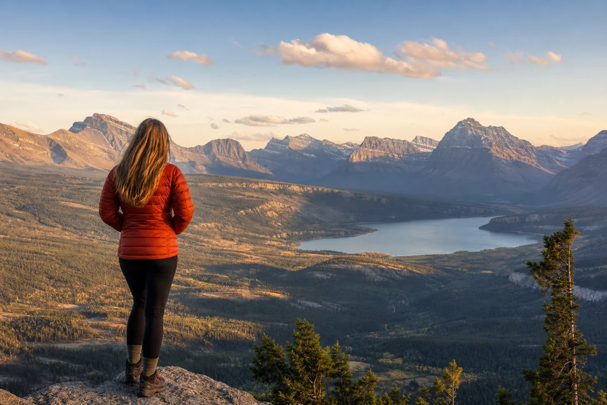
Waterton Lakes National Park (from Glacier)
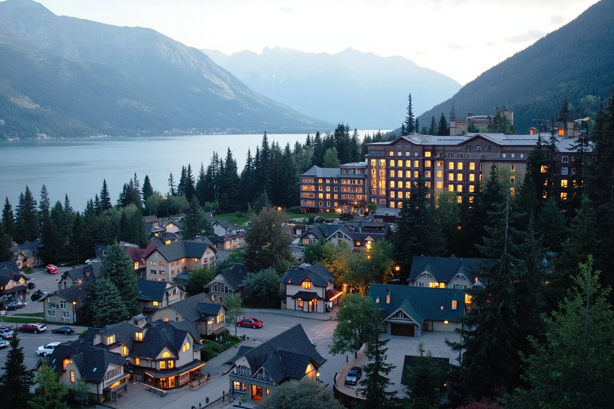
This is the obvious choice and absolutely worthwhile. The charming townsite of Waterton offers excellent restaurants, unique shops, and that famous Prince of Wales Hotel perched dramatically above the lake.
I suggest leaving early from St. Mary or Many Glacier, crossing at Chief Mountain (when open) or Piegan, and spending a full day exploring. The Red Rock Canyon and Cameron Falls are both walkable from town. Budget at least 30-45 minutes for border crossings in each direction during summer.
Fernie, British Columbia (from Eureka)
This mountain town offers a distinctly Canadian ski village atmosphere. During an early autumn visit, I found the downtown filled with locals enjoying coffee shop patios—a different vibe than Montana’s more rugged towns.
The drive through the Elk Valley is stunning. Even if you’re not skiing, Fernie makes a memorable day trip for the scenery, food, and cultural contrast alone.
Writing-on-Stone Provincial Park (from Northern Montana)
This Alberta gem protects some of North America’s most significant indigenous rock art. I visited via the Sweetgrass crossing and spent an afternoon walking among the sandstone hoodoos, examining petroglyphs and pictographs that span thousands of years.
The landscape feels otherworldly—like nothing in Montana despite being just miles from the border. Guided tours during summer months provide cultural context I wouldn’t have understood otherwise.
Montana’s Border in Context
Understanding Montana’s Canadian border helps clarify some common geographic confusions. Unlike coastal states, Montana is entirely landlocked, making our northern international boundary all the more significant for connection to the wider world.
Some people mistakenly imagine Montana as being near the West Coast because of its western mountain regions. In reality, Montana sits far from West Coast states like California, Oregon, and Washington. Our western border touches Idaho, not the Pacific.
Others wonder if Montana belongs to the Midwest, given the agricultural character of our eastern plains. As I’ve written elsewhere, Montana doesn’t fit the traditional Midwest definition—we’re more accurately described as part of the American West or Northwest.
This geographic distinctiveness—bordered by Canada to the north, three US states to the west and south, and two more to the east (Montana touches four US states total)—makes our Canadian frontier feel all the more significant. It’s our only international boundary, our window to another country.
When people ask whether Montana is in the Northwest, the Canadian border provides part of the answer. Northwestern Montana—the region around Glacier, Eureka, and Kalispell—shares more in common with British Columbia’s interior than with anywhere in the American Midwest or Southwest.
Planning Your Border Region Adventure
Best Times to Visit
Summer (June through August) offers the most accessible border experience. Chief Mountain crossing is open, Waterton services are fully operational, and weather cooperates for outdoor adventures.
However, I’ve also loved early autumn visits when crowds thin dramatically. September in Glacier and Waterton means golden larches, bugling elk, and crossings where you might be the only car in line.
Winter travel is possible but requires preparation. Only Sweetgrass, Roosville, and a few others operate 24/7. Roads can be treacherous, and many parks services close entirely.
Where to Stay
On the Montana side, I recommend these bases for border exploration:
- East Glacier Park: Charming lodges and easy access to Piegan crossing
- Many Glacier: Stunning scenery, close to Chief Mountain
- Eureka: Unpretentious town near Roosville, good restaurants
- Havre: Practical base for Hi-Line exploration, more amenities
For understanding what type of region Montana truly is, spending time in both the mountainous west and the prairie east along the border provides invaluable perspective.
Getting There
Most travelers approach the border region from:
- Kalispell: Fly into Glacier Park International, drive north
- Great Falls: Practical gateway to Sweetgrass and Hi-Line
- Interstate 15: The main north-south corridor through central Montana
- Highway 2: The “Hi-Line” route paralleling the border from west to east
Final Thoughts: The Border as Destination
When I first set out to understand Montana’s Canadian border, I expected to find a line—a division, a barrier. What I discovered instead was a zone of connection, where landscapes ignore politics and communities span nations.
Yes, Montana is located on the Canadian border. But more than that, Montana’s border region offers experiences found nowhere else in America: international peace parks, indigenous histories that predate either nation, tiny crossings where you might chat with an agent about local fishing spots, and vast landscapes that remind you how arbitrary our boundaries really are.
Whether you cross into Canada for an afternoon in Waterton or simply drive Highway 2 watching the border posts march eastward toward Saskatchewan, Montana’s northern edge deserves exploration. It’s taught me that this state isn’t just big—it’s borderless in spirit, connected to a continent in ways that maps can only hint at.
Next time someone asks you if Montana is on the Canadian border, you can tell them: not only is it there, but it’s one of the best reasons to visit.
Frequently Asked Questions
Does Montana share a border with Canada?
Yes, Montana shares a 545-mile border with Canada, making it one of four US states that border our northern neighbor. The state touches the Canadian provinces of British Columbia, Alberta, and Saskatchewan, offering multiple crossing points for travelers heading north.
What are the main border crossing points between Montana and Canada?
Montana has several border crossings, with the busiest being Sweet Grass/Coutts on I-15 and Roosville near Eureka on US-93. I’ve found that crossing times are typically shortest early morning on weekdays, and you’ll need a valid passport or NEXUS card to enter Canada.
How far is Glacier National Park from the Canadian border?
Glacier National Park sits directly on the Montana-Canada border and connects with Canada’s Waterton Lakes National Park to form the Waterton-Glacier International Peace Park. The park’s northern boundary is literally the international border, so you can hike trails that cross into Canada with proper documentation.
What is the best time to visit Montana’s Canadian border region?
The best time to visit Montana’s northern border region is June through September when Going-to-the-Sun Road is fully open and weather is mild. I recommend July and August for wildflower viewing, though expect larger crowds. Winter visits offer skiing but many border crossings have reduced hours.
How much does it cost to travel from Montana into Canada for a day trip?
A day trip from Montana into Canada is relatively affordable, with no border crossing fees, though you’ll need a valid passport ($165 for a new adult passport). Budget around $50-100 for gas, meals, and activities in nearby Canadian towns like Lethbridge or Waterton, and remember that your US dollars go further with favorable exchange rates.
What documents do I need to cross from Montana into Canada?
US citizens need a valid passport, passport card, or NEXUS card to cross from Montana into Canada and return. I always recommend carrying your passport book rather than just a passport card in case you decide to fly home from Canada. Make sure your passport has at least six months validity remaining before your trip.
What should I pack for a trip to Montana’s northern border region?
Pack layers regardless of season since Montana’s border region can experience 40-degree temperature swings in a single day. I always bring a rain jacket, sturdy hiking boots, bear spray if planning backcountry activities, and sun protection since the high elevation intensifies UV exposure. Don’t forget your passport and vehicle registration if you’re considering a quick trip across the border.
Sources:
- https://www.ezbordercrossing.com/list-of-border-crossings/montana/
- https://www.worldatlas.com/geography/us-states-that-border-canada.html
- https://en.wikipedia.org/wiki/Geography_of_Montana
- https://www.internationalboundarycommission.org/en/the-boundary-and-you/interesting-facts.php
- https://www.dhs.gov/archive/science-and-technology/news/2020/01/30/snapshot-protecting-our-northern-border-slash-camerapole
- https://www.britannica.com/place/Montana-state
- https://www.umt.edu/this-is-montana/columns/stories/montana_regions_1of3.php
- https://www.umt.edu/this-is-montana/columns/stories/blackfeet.php
- https://dnrc.mt.gov/Water-Resources/Water-Science-and-Data/Basin-Studies/Transboundary-Basin-Information
- https://www.internationalboundarycommission.org/en/about/history.php
- https://historylink.org/File/5247
- https://news.prairiepublic.org/show/dakota-datebook-archive/2022-05-25/northern-boundary-survey
- https://en.wikipedia.org/wiki/Boundary_Commission_Trail
- http://www.bordering110.com/maritza-dominguez-native-crossings/
- https://en.wikipedia.org/wiki/Blackfeet_Nation
- https://digitalcommons.schulichlaw.dal.ca/cgi/viewcontent.cgi?article=1101&context=djls
- https://ptla.org/border-crossing-rights-under-jay-treaty
- https://ca.usembassy.gov/first-nations-and-native-americans/
- https://www.heraldnet.com/news/tribes-tell-members-to-use-tribal-id-at-u-s-border-crossings-with-canada/
- https://www.afn.ca/wp-content/uploads/2020/01/07-19-02-06-AFN-Fact-Sheet-Registration-and-the-Canada-US-Border-final-revised.pdf
- https://www.tsa.gov/travel/tsa-cares/tribal-and-indigenous
- https://montanafreepress.org/2025/04/07/blackfeet-tribal-members-sue-feds-over-canada-tariffs/
- https://www.ijc.org/en/boundary-waters-treaty-1909
- https://www.producer.com/news/water-infrastructure-well-past-its-prime/
- https://www.usbr.gov/newsroom/news-release/4881
- https://flatheadbeacon.com/2025/05/16/water-expected-to-return-to-the-milk-river-12-months-after-pipeline-failure/
- https://montanafreepress.org/2024/08/20/as-the-milk-river-dries-up-funding-process-slows-to-a-trickle/
- https://ijc.org/sites/default/files/ISMMRS%20Newsletter%20%235.pdf
- https://www.ijc.org/sites/default/files/SMMR-Study-Overview-2022.pdf
- https://www.bts.gov/newsroom/transborder-freight-annual-report-2024-0
- https://en.wikipedia.org/wiki/List_of_Canada%E2%80%93United_States_border_crossings
- https://www.cbp.gov/about/contact/ports/MT
- https://biglobalization.org/wp-content/uploads/2022/06/research_project_70_alberta_hale.pdf
- https://www.mdt.mt.gov/other/webdata/external/research/docs/research_proj/canada_impact_nhwy/final_report.pdf
- https://rosap.ntl.bts.gov/view/dot/3009/dot_3009_DS1.pdf?
- https://whc.unesco.org/en/list/354/
- https://parkplanning.nps.gov/showFile.cfm?sfid=775418&projectID=121694
- https://parks.canada.ca/pn-np/ab/waterton/info/index/directeur-management/plan-2022
- https://www.fs.usda.gov/rm/pubs_journals/2020/rmrs_2020_jenkins_m001.pdf
- https://parks.canada.ca/agence-agency/bib-lib/rapports-reports/conservation/conservation-2023/futur-future/pin-pine
- https://www.nps.gov/articles/000/bil-er-project-profile-whitebarkpine.htm
- https://www.americanforests.org/article/two-years-later-the-fight-to-save-the-whitebark-pine-continues/
- https://www.404media.co/cbp-anduril-canada-great-lakes/
- https://www.eff.org/deeplinks/2023/03/cbp-expanding-its-surveillance-tower-program-us-mexico-border-and-were-mapping-it
- https://bpri.wwu.edu/sites/bpri.wwu.edu/files/2025-06/BPRI_Northern%20US%20Border%20Patrol%20Encounters%202024.pdf
- https://www.cbp.gov/newsroom/stats/nationwide-encounters-fy2025