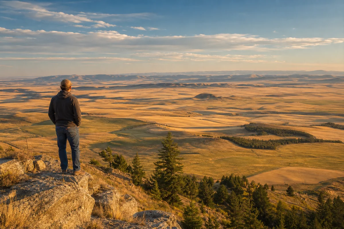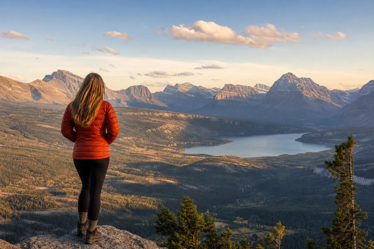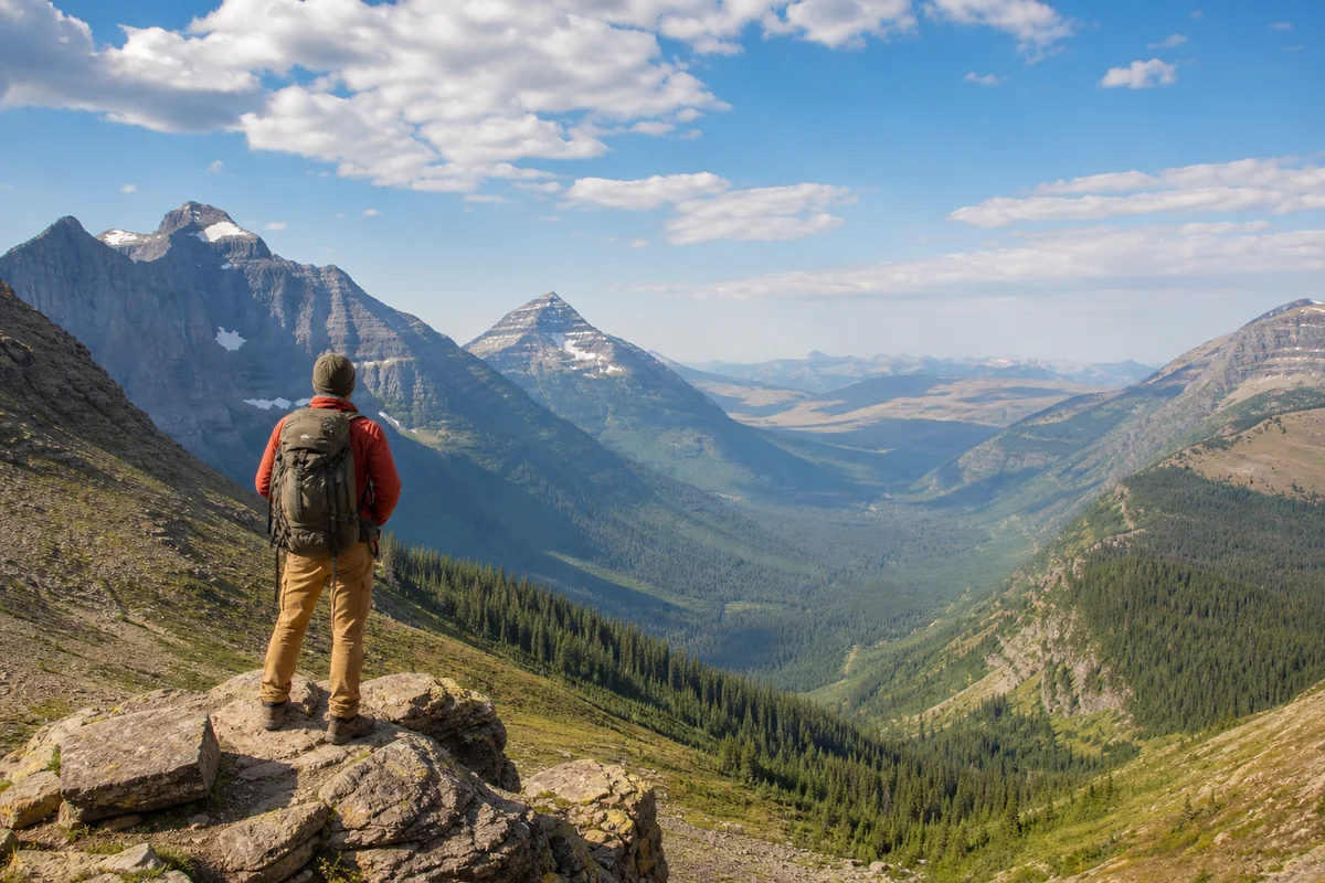
Standing at Logan Pass in Glacier National Park last July, I watched the landscape transform before my eyes—jagged alpine peaks gave way to dense conifer forests, which eventually melted into rolling grasslands stretching toward an impossibly distant horizon.
In that single moment, I understood why defining where Montana is located and what type of region it belongs to isn’t a simple question with a simple answer.
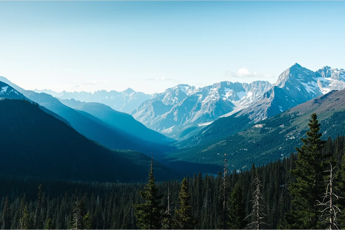
- Montana spans two major geographic regions: the Rocky Mountains in the west and the Great Plains in the east
- The state contains at least five distinct climate zones, from alpine tundra to semi-arid prairie
- Politically, Montana is classified as Mountain West/Northern Rockies region
- The Continental Divide runs through western Montana, creating dramatically different ecosystems on each side
- Planning your trip requires understanding which regional experience you’re seeking—they’re vastly different
Liked this article?
Add Roaming Montana as a preferred source so you see more of our articles and guides on Google.
Montana’s Geographic Identity: More Complex Than You Think
When people ask me what type of region Montana is, I’ve learned to answer with a question: “Which Montana are you talking about?” This isn’t me being difficult—it’s the honest reality of a state that refuses to fit neatly into a single geographic box.
During my travels across Montana over the past six years, I’ve experienced landscapes so different from each other that they could easily belong to separate states. The misty, temperate rainforests near Libby feel nothing like the windswept wheat fields outside Glasgow, which bear no resemblance to the alpine meadows above Red Lodge.
Montana officially belongs to several overlapping regional classifications. The U.S. Census Bureau places it in the Mountain Division of the West Region. Geographers split it between the Northern Rocky Mountains and the Great Plains. Ecologists see it as a transition zone between Pacific Northwest and Great Plains biomes.
For a deeper dive into the Montana biome ecological diversity, I recommend exploring how these different ecosystems support vastly different wildlife and plant communities.
The Two Montanas: Mountains vs. Plains
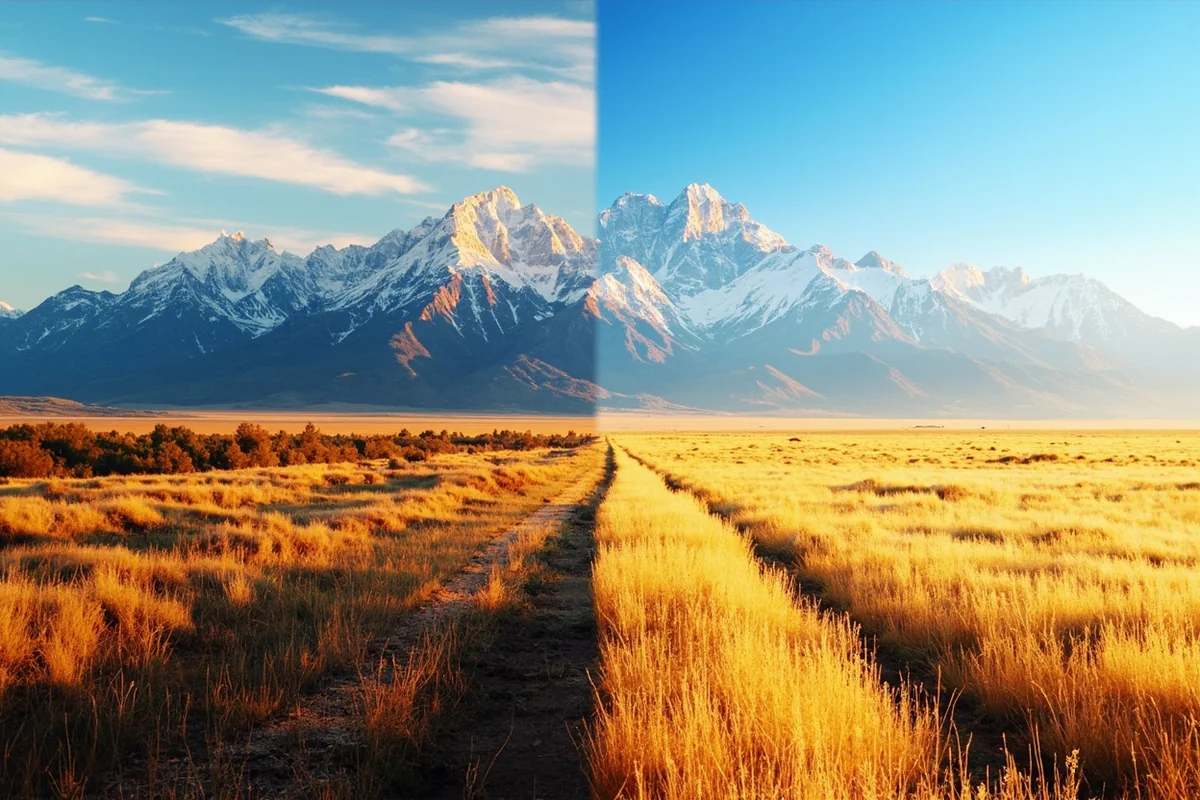
The most fundamental geographic division in Montana is the split between its mountainous western third and its plains-dominated eastern two-thirds. This division isn’t arbitrary—it shapes everything from weather patterns to local culture to what activities you’ll find in each area.
Western Montana: The Rocky Mountain Region
I’ve spent the majority of my Montana exploration time in the western portion of the state, and I understand why most tourists gravitate here. This is the Montana of postcards and tourism brochures—towering peaks, pristine lakes, rushing rivers, and dense evergreen forests.
The Rocky Mountains in Montana include several distinct ranges: the Cabinet Mountains, the Bitterroots, the Mission Range, the Swan Range, the Lewis Range, and the Beartooth Mountains, among others. Each has its own character.
Last summer, I hiked in both the Cabinet Mountains Wilderness and the Absaroka-Beartooth Wilderness within the same week. The Cabinets felt lush and almost Pacific Northwest-like, with moss-covered rocks and thick underbrush. The Beartooths, meanwhile, were stark and alpine, with granite plateaus and crystal-clear lakes sitting above treeline.
Understanding Montana’s elevation variations helps explain why such different environments exist within the same state. Western Montana’s elevations range from around 2,000 feet in some river valleys to over 12,000 feet at the highest peaks.
Eastern Montana: The Great Plains Region
Fewer tourists venture into eastern Montana, but those who do discover a landscape that’s equally stunning in its own way. This is genuine Great Plains country—vast grasslands, dramatic badlands, isolated buttes, and skies so big they feel almost oppressive.
During a road trip across Highway 2 last fall, I drove for hours through landscapes that seemed frozen in time. Pronghorn antelope dotted the hillsides. Weathered homesteads sat abandoned against the horizon. The occasional small town appeared, provided a place to refuel, and disappeared in the rearview mirror.
Eastern Montana absolutely belongs to the Great Plains, a fact I explore more thoroughly in my piece about whether Montana belongs to the Great Plains. But it’s not the flat, featureless prairie many people imagine.
The Missouri River Breaks, which I explored by canoe a few years back, feature dramatic canyon walls and desert-like terrain that seems transplanted from Utah. The badlands formations near Makoshika State Park rival those in the Dakotas for their sculptural beauty.
The Continental Divide: Montana’s Geographic Backbone
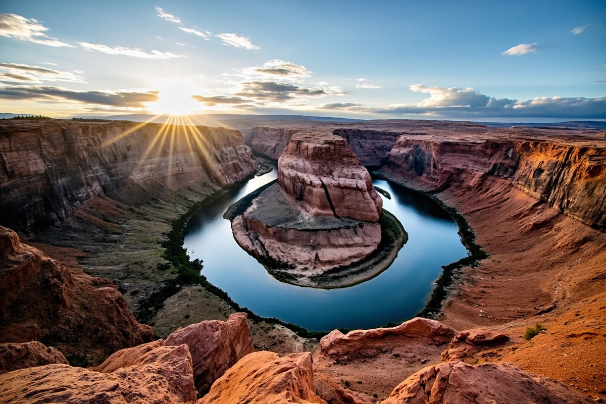
Running roughly north-south through western Montana, the Continental Divide serves as one of the state’s most important geographic features. I’ve stood on this spine of North America at multiple points, from the accessible crossings at Logan Pass and MacDonald Pass to more remote locations in the Bob Marshall Wilderness.
The Divide does more than separate Atlantic-bound and Pacific-bound water. It creates dramatically different climatic conditions on either side.
West of the Divide
The western slopes of the Continental Divide receive Pacific moisture that works its way inland. The result is Montana’s wettest climate—some areas near Libby receive over 90 inches of precipitation annually.
This moisture supports dense cedar and hemlock forests that feel transplanted from the Pacific Northwest. During a spring visit to the Ross Creek Cedar Grove, I walked among 1,000-year-old western red cedars with trunks wider than my car. The air smelled of earth and decay in that productive way that signals a thriving forest ecosystem.
If you’re curious about whether Montana qualifies as Pacific Northwest territory, my investigation into whether Montana is located in the Northwest examines this question from multiple angles.
East of the Divide
Cross to the east side, and the character changes quickly. The mountains create a rain shadow effect, blocking Pacific moisture and creating much drier conditions.
I’ve driven from Missoula to Great Falls on Interstate 90 and watched this transition happen in real-time. Lush forests give way to sagebrush-dotted hillsides, then to open rangeland. Annual precipitation drops from 30+ inches to under 15 inches within a few hours of driving.
Some people wonder whether eastern Montana qualifies as high desert. It’s a reasonable question—the landscape certainly looks desert-like at times. I address this in my piece exploring whether Montana is high desert.
Montana’s Climate Zones: A Regional Breakdown
| Climate Zone | Location | Annual Precipitation | Key Characteristics |
|---|---|---|---|
| Pacific Maritime | Northwestern valleys | 30-90+ inches | Mild winters, lush forests |
| Alpine | Mountain peaks | 40-100+ inches (mostly snow) | Short summers, heavy snowfall |
| Mountain Continental | Mountain valleys east of Divide | 15-25 inches | Cold winters, warm summers |
| Semi-arid Steppe | Central Montana | 10-15 inches | Hot summers, cold winters, wind |
| Northern Great Plains | Eastern Montana | 10-14 inches | Extreme temperature swings |
The practical implication for travelers is significant. During my spring visits to Montana, I’ve experienced snowstorms in Glacier National Park and t-shirt weather in Billings on the same day. Pack layers, bring rain gear, and prepare for the unexpected.
Political and Administrative Regional Classifications
Beyond physical geography, Montana belongs to several political and administrative regions that affect everything from federal policy to cultural identity.
Mountain West Classification
The most common political classification places Montana in the Mountain West or Northern Rockies region, alongside states like Idaho, Wyoming, and Colorado. This grouping reflects shared characteristics: low population density, significant federal land ownership, economies historically based on natural resources, and a cultural emphasis on individual liberty and outdoor recreation.
I’ve met many Montana residents who strongly identify with this Mountain West identity. There’s a sense that they share more in common with their neighbors to the south and west than with states to the east.
However, it’s worth noting that some classify Montana differently. I’ve examined the argument in my piece exploring whether Montana is truly in the Midwest—a classification that makes more sense for the state’s eastern regions than its mountain country.
Federal Land Regions
Montana falls primarily within the jurisdiction of USDA Region 1 (Northern Region) for Forest Service matters. The state contains portions of ten national forests and two national parks, making federal land management a significant aspect of Montana’s regional identity.
I’ve camped on Forest Service land throughout the state, and the accessibility of this public land shapes the Montana experience in profound ways. Unlike more developed states, you’re rarely far from public land where you can hike, fish, hunt, or simply enjoy solitude.
Montana’s International Border Region
Montana shares a 545-mile border with Canada—one of the longest international boundaries of any U.S. state. This border region has its own distinct character.
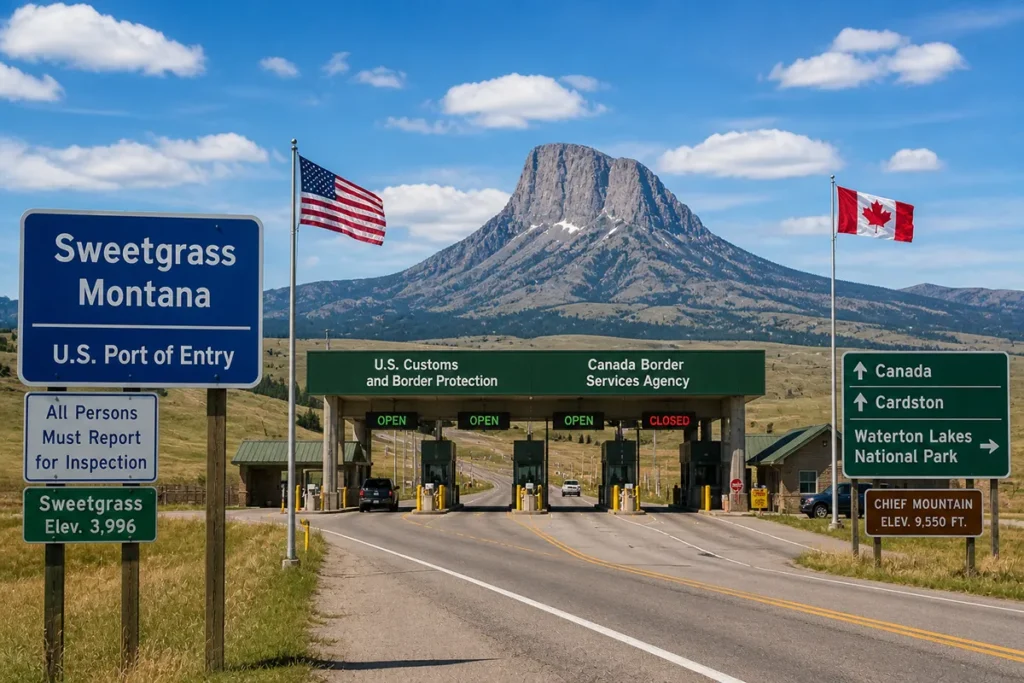
Having crossed at several ports of entry, from the busy Sweetgrass crossing on Interstate 15 to the remote Roosville station near Eureka, I’ve experienced how this border shapes regional identity. There’s significant economic and cultural exchange with Alberta and British Columbia.
The question of whether Montana is located on the Canadian border might seem obvious, but the implications of this border location affect everything from wildlife migration patterns to tourism traffic to local economies.
Glacier National Park shares its northern boundary with Canada’s Waterton Lakes National Park, together forming the Waterton-Glacier International Peace Park. When I visited the Prince of Wales Hotel on the Canadian side, I could look back across the border at the same mountain landscape continuing seamlessly into Montana.
Montana’s Neighbors and Regional Connections
Understanding Montana’s regional context requires knowing its relationship to neighboring states. Montana shares borders with four U.S. states—North Dakota, South Dakota, Wyoming, and Idaho—plus the Canadian provinces of British Columbia, Alberta, and Saskatchewan.
Each border region has distinct characteristics. The Idaho border follows the rugged Bitterroot Range, creating a natural barrier between the states. The Wyoming border transitions through mountainous terrain before entering Yellowstone National Park. The Dakotas borders cross open prairie with few natural barriers.
For a complete breakdown, check out my guide to Montana’s neighboring states and what each border region offers travelers.
One common misconception I’ve addressed is whether Montana touches the ocean. As a landlocked state, Montana is far from any coastline—despite what some might assume given its size. Similarly, my piece on whether Montana is West Coast explores why the state’s western location doesn’t translate to coastal access.
Urban vs. Rural: Montana’s Settlement Patterns
Montana is the fourth-largest state by area but ranks 44th in population. This creates one of the lowest population densities in the nation—about 7 people per square mile.
I’ve driven for hours in eastern Montana without seeing another vehicle. I’ve stayed in towns where the closest grocery store is 60 miles away. This rural character defines much of the Montana experience.
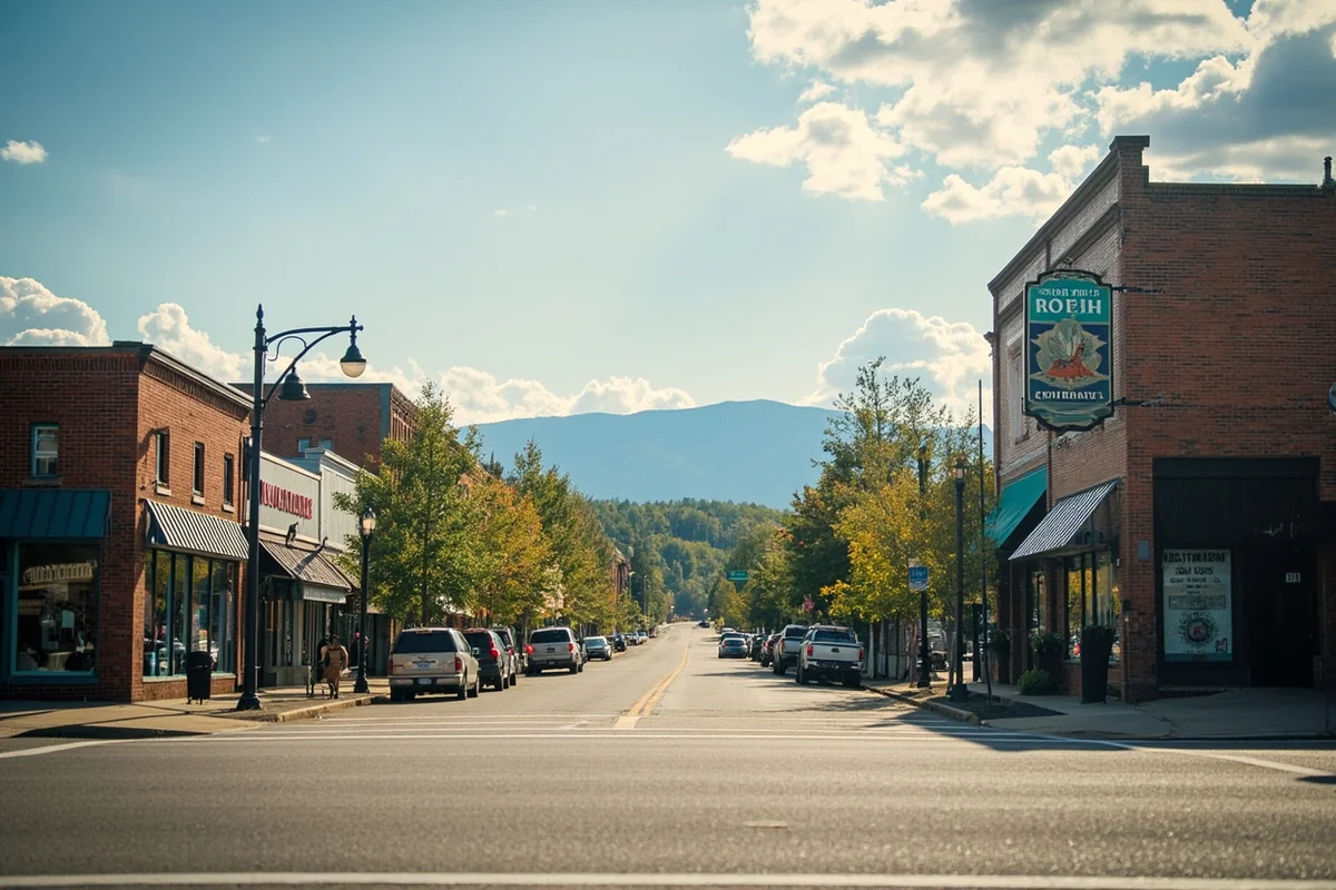
The state has only seven cities with populations over 20,000: Billings, Missoula, Great Falls, Bozeman, Butte, Helena, and Kalispell. These urban centers serve as regional hubs, but even Billings—the largest—would qualify as a small city by national standards.
For more on this topic, my examination of whether Montana is considered rural dives into the statistics and what they mean for visitors.
Practical Implications for Travelers
Understanding Montana’s regional diversity has direct implications for trip planning. Here’s what I’ve learned from years of exploring this state:
Choosing Your Montana Experience
If you want alpine scenery, glacier-carved valleys, and world-class skiing, focus on western Montana. Glacier National Park, the Flathead Valley, Big Sky, and the Bitterroot Valley deliver the mountain experience most visitors imagine.
If you’re interested in history, solitude, and authentic Western ranching culture, eastern Montana rewards exploration. The Little Bighorn Battlefield, Fort Peck Lake, and the Hi-Line towns offer experiences you won’t find in more touristy areas.
If you want both, plan for significant driving time. Missoula to Miles City is over 400 miles—easily a full day’s drive with stops.
Weather Preparation by Region
Western mountain regions require preparation for all four seasons regardless of calendar date. I’ve encountered snowstorms in Glacier National Park in July and warm chinook winds in Whitefish in January. Layered clothing isn’t optional—it’s essential.
Eastern plains regions experience more extreme temperature swings. Summer days can push past 100°F, while winter nights plunge well below zero. Wind is a constant companion—plan for it when camping or photographing landscapes.
Services and Amenities
Western Montana, particularly around population centers like Missoula, Kalispell, and Bozeman, offers reasonably accessible services. Gas stations, grocery stores, and lodging options appear at regular intervals along major highways.
Eastern Montana requires more self-sufficiency. Fill your gas tank when you see a station. Bring snacks and water. Don’t assume you’ll find services when you need them. During one trip near the Canadian border, I drove 120 miles between gas stations—a distance that would seem impossible in most of the country.
Seasonal Considerations by Region
Western mountain regions have distinct tourist seasons. Summer (late June through early September) brings the best access to high-country trails but also the biggest crowds in places like Glacier. Winter transforms the region into a ski destination.
The shoulder seasons—late May and September—often provide the best balance of good weather and manageable crowds. On a recent September trip to Glacier, I had trails nearly to myself while enjoying stable weather and fall colors beginning in the high country.
Eastern Montana is less seasonally restricted in some ways but more challenging in others. Summer heat can be brutal, and winter presents genuine cold-weather survival considerations for outdoor activities. Spring and fall often provide the most pleasant conditions for exploration.
The Cultural Regions of Montana
Beyond physical geography, Montana contains distinct cultural regions shaped by settlement history, economic base, and local traditions.
Ranching Country
Eastern Montana remains genuine ranching territory. Multi-generational cattle operations span landscapes that haven’t fundamentally changed since the open-range era ended. The culture reflects this heritage—self-reliance, connection to the land, and practical adaptability.
When I’ve stopped in towns like Jordan, Ekalaka, or Winnett, I’ve found communities where everyone knows everyone, where the local bar doubles as the community meeting hall, and where a stranger’s presence is noticed and usually welcomed with genuine Western hospitality.
Mining Heritage Communities
Towns like Butte, Anaconda, and Helena carry the legacy of Montana’s mining past. The “Richest Hill on Earth” nickname Butte earned reflects a history that shaped the entire state’s development.
Walking through Butte’s uptown district, I’ve explored the headframes still standing above old mine shafts and wandered ethnic neighborhoods that once housed immigrant communities from around the world. The mining heritage remains visible and celebrated, even as the economy has diversified.
University Towns
Missoula and Bozeman, home to the University of Montana and Montana State University respectively, have distinct cultures influenced by their academic institutions. These towns feel younger, more progressive politically, and more oriented toward outdoor recreation as lifestyle rather than necessity.
When I’m looking for craft breweries, farm-to-table restaurants, or outdoor gear shops, I head to these university communities. They offer amenities that wouldn’t survive in smaller, more isolated towns.
Reservation Communities
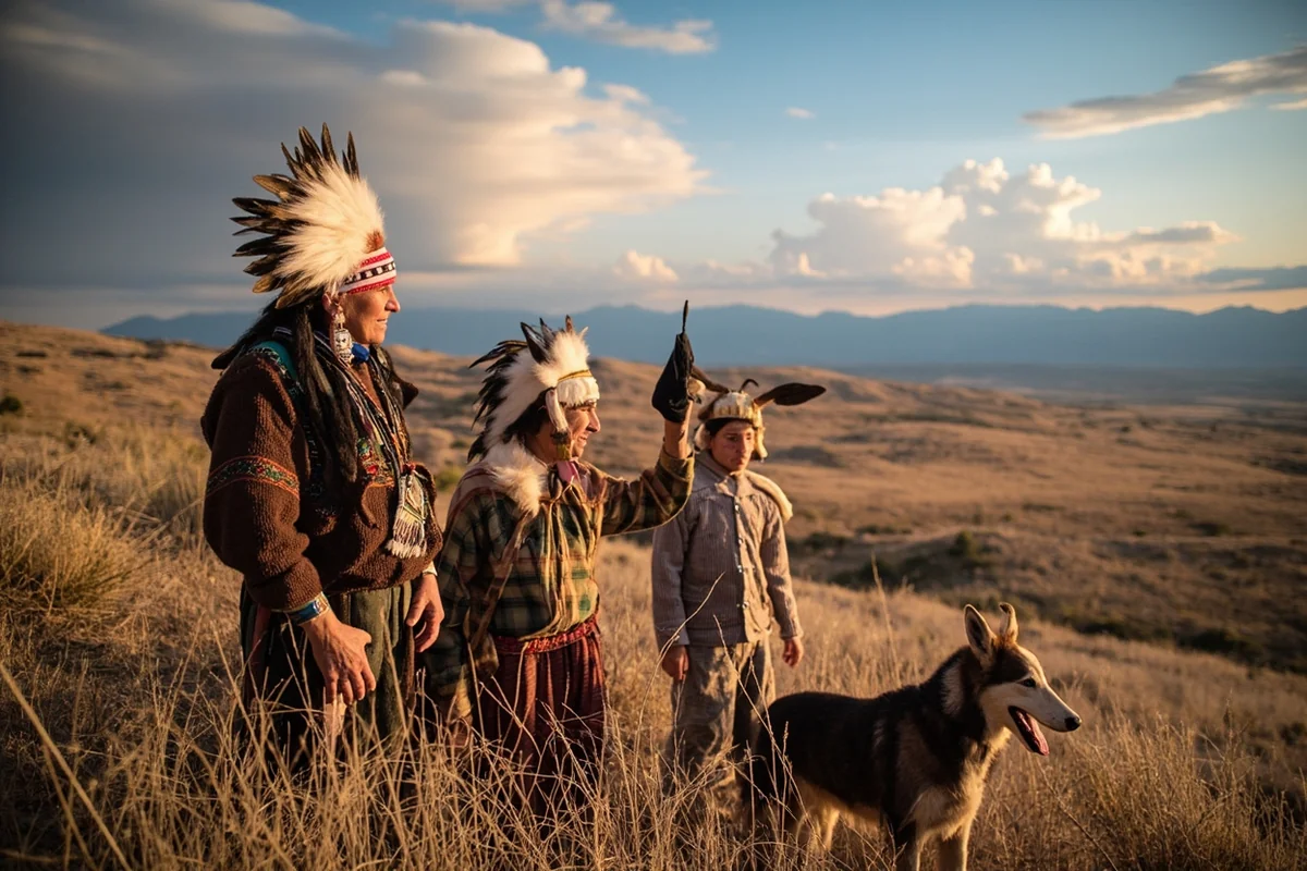
Montana contains seven Indian reservations: Blackfeet, Crow, Flathead, Fort Belknap, Fort Peck, Northern Cheyenne, and Rocky Boy’s. These sovereign nations maintain distinct cultures, governance systems, and traditions.
I’ve visited several reservations and found rich experiences available to respectful visitors. The Museum of the Plains Indian in Browning, powwows open to the public, and guided tours with tribal members have all deepened my understanding of Montana’s Indigenous cultures.
How Regional Classification Affects Your Trip
When planning your Montana adventure, thinking in terms of regions helps organize the overwhelming options.
For National Park Seekers
Glacier National Park dominates the northwestern corner. Yellowstone National Park’s north and northeast entrances provide access from south-central Montana. These parks justify entire trips on their own.
If you’re trying to visit both in one trip, know that they’re separated by about 350 miles of driving. I recommend focusing on one thoroughly rather than rushing between both.
For Fishing Enthusiasts
Montana’s trout streams cluster in different regional concentrations. The famous Flathead, Blackfoot, and Clark Fork rivers flow through western Montana. The Missouri River system drains the central portion. The Yellowstone and Bighorn rivers draw anglers to the south.
Each system has different characteristics, different hatches, and different fishing pressure levels. During my fishing trips, I’ve learned that researching regional conditions makes the difference between memorable days and frustrating ones.
For Scenic Drivers
Western Montana offers dramatic mountain passes: Going-to-the-Sun Road, Beartooth Highway, Highway 12 over Lolo Pass. These routes deliver concentrated scenery but require attention to seasonal closures and weather conditions.
Eastern Montana’s scenic routes reward patience with their subtlety. The Missouri Breaks Back Country Byway, Highway 200 across the Hi-Line, and the quiet roads through the Bull Mountains all offer beauty for those willing to look for it.
Making Sense of Montana’s Regional Complexity
After years of exploring this state, I’ve concluded that Montana’s regional complexity is a feature, not a bug. The fact that no single classification captures the state’s character means there’s always more to discover.
The Rocky Mountain Montana I fell in love with during my first Glacier visit coexists with the Great Plains Montana I’ve grown to appreciate during subsequent travels. Neither is more “real” or “authentic” than the other. They’re simply different expressions of the same remarkable state.
When someone asks me what type of region Montana is, I now have a standard response: “It depends on where you go and what you’re looking for.” This might seem like a cop-out answer, but it’s the honest truth.
Montana is mountain and plain, temperate rainforest and semi-arid steppe, alpine tundra and prairie grassland. It’s urban (relatively speaking) and rural, modern and traditional, accessible and remote.
This complexity requires more planning effort than destinations with simpler characters. But it also means Montana rewards repeat visits in ways that more homogeneous places cannot. Each trip can focus on a different regional experience, revealing new aspects of the state.
Whether you’re drawn to the dramatic peaks of the Northern Rockies or the expansive horizons of the Great Plains, Montana has a region that matches your vision. The key is knowing which Montana you want to experience—and then giving yourself enough time to truly experience it.
Frequently Asked Questions
What type of geographic region is Montana classified as?
Montana spans two distinct geographic regions: the Rocky Mountains in the western third and the Great Plains in the eastern two-thirds. This dramatic contrast means you can experience towering mountain peaks over 10,000 feet and vast prairie grasslands all within the same state, making Montana one of the most geographically diverse destinations in the US.
Is Montana considered a mountain region or a plains region for travel planning?
Montana is actually both, which significantly impacts your trip planning. If you’re heading to Glacier National Park or Missoula, pack for mountain terrain with unpredictable weather. If you’re exploring eastern Montana near places like Makoshika State Park, expect wide-open prairie landscapes with extreme temperature swings between summer and winter.
What is the best time to visit Montana’s different regions?
For Montana’s mountain region, I recommend visiting between late June and early September when Going-to-the-Sun Road is fully open and hiking trails are accessible. The plains region in eastern Montana is best explored in late spring or early fall when temperatures are moderate, typically ranging from 50-70°F, and you’ll avoid the harsh winter winds.
How much does a week-long trip to Montana’s mountain region cost?
A week in Montana’s Rocky Mountain region typically runs $1,500-$2,500 per person for mid-range travel, including lodging near Glacier or Yellowstone ($150-250/night), park entrance fees ($35 per vehicle), gas for mountain driving, and dining. Budget travelers can cut costs significantly by camping ($20-35/night) and cooking their own meals.
What should I pack for traveling through Montana’s diverse regions?
Pack layers regardless of which Montana region you’re visiting since temperatures can swing 40°F in a single day, especially in the mountains. I always bring a waterproof jacket, sturdy hiking boots for mountain terrain, sunscreen for the high-altitude UV exposure, and bear spray if you’re exploring backcountry areas in western Montana.
How far apart are Montana’s mountain and plains regions?
Montana stretches about 550 miles from east to west, so driving from the mountain region near Missoula to the plains around Miles City takes roughly 7-8 hours on Interstate 90. Most visitors stick to one region per trip since the distances are substantial, though a two-week road trip can showcase both landscapes beautifully.
Which Montana region is better for wildlife viewing?
Both regions offer incredible wildlife, but the mountain region around Glacier and Yellowstone is best for spotting grizzly bears, mountain goats, and moose in dramatic alpine settings. The plains region excels for viewing pronghorn antelope, prairie dogs, and bison herds, particularly at the American Prairie Reserve where you’ll find fewer crowds and a more remote experience.
Sources:
- https://mhs.mt.gov/education/Elementary/Chap1.pdf
- https://www.britannica.com/place/Montana-state
- https://en.wikipedia.org/wiki/Montana
- https://en.wikipedia.org/wiki/History_of_Montana
- https://wrcc.dri.edu/Climate/narrative_mt.php
- https://www.fs.usda.gov/rm/pubs_int/int_rp218.pdf
- https://www.montananaturalist.org/blog-post/montanas-rain-shadow-explained/
- https://montanakids.com/facts_and_figures/climate/Climate_Information.htm
- https://en.wikipedia.org/wiki/Chinook_wind
- https://www.umt.edu/this-is-montana/columns/stories/montana_regions_1of3.php
- https://www.umt.edu/this-is-montana/columns/stories/montana_regions_3of3.php
- https://www.montanabusinessquarterly.com/montanas-economy-at-a-glance/
- https://www.ers.usda.gov/data-products/frontier-and-remote-area-codes/documentation
- https://www.ruralhealth.us/getmedia/132306e1-1643-4b40-818a-4d743317dc7e/NRHAFrontierDefPolicyPaperFeb2016.pdf
- https://mchb.tvisdata.hrsa.gov/Narratives/Overview/fcfa2a07-1e29-4111-9d9c-1ae64527ee16
- https://mchb.tvisdata.hrsa.gov/Narratives/Overview/9a5f96d0-a5bd-4671-859f-f15a6cb89294
- https://dphhs.mt.gov/assets/BHDD/CMB/CSCT/FrontierandNonFrontierCounties.pdf
- https://archive.legmt.gov/content/Publications/fiscal/leg_reference/Brochures/Ag-industry-overview.pdf
- https://farmflavor.com/montana/montana-farm-to-table/montanas-diverse-regions-promote-diverse-agriculture/
- https://agr.mt.gov/_docs/aginclass-docs/MDAPublications/2014MT_AgrCommodityMap.pdf
- https://www.nass.usda.gov/Quick_Stats/Ag_Overview/stateOverview.php?state=MONTANA
- https://flatheadbeacon.com/2025/11/25/montanas-changing-economy-from-minerals-to-mansions/
- https://deq.mt.gov/Portals/112/DEQAdmin/Climate/Documents/2020-06-15_Accelerating_Decarbonization_Innovation.pdf
- https://archive.legmt.gov/content/Committees/Interim/2023-2024/Local-Government/Meetings/January-24-2024/2.06-2023_Market_Update-Bozeman.pdf
- https://mtech.edu/news/2024/07/montana-tech-to-develop-photonics-testbed-facility-as-part-of-41-million-headwaters-tech-hub-funding.html
- https://www.eda.gov/sites/default/files/2023-11/Headwaters_Hub.pdf
- https://grokipedia.com/page/Billings_Metropolitan_Statistical_Area
- https://bigskyeconomicdevelopment.org/wp-content/uploads/2025/11/BSED_EconomicPulse_Q4-25.pdf
- https://www.jhconline.com/intermountain-health-begins-construction-on-montanas-first-large-medical-supply-warehouse.html
- https://mt.gov/discover/brief_history
- https://montanafreepress.org/2024/11/25/the-triumph-of-republican-party-in-montana/
- https://en.wikipedia.org/wiki/Red_states_and_blue_states
- https://montanafreepress.org/2024/09/27/new-montanans-more-red-than-blue/
- https://www.yardi.com/blog/news/the-yellowstone-effect/38900.html
- https://ridewayoutwest.com/2025/06/18/can-yellowstone-survive-the-yellowstone-effect/
- https://inthesetimes.com/article/yellowstone-tv-show-finale-gentrification-development-west
- https://www.theguardian.com/environment/2018/jan/21/public-land-battle-private-landowners-montana
- https://inthesetimes.com/article/crazy-privatize-mountain-montana-crazies-land-rural-west-gentrification
- https://archive.legmt.gov/content/For-Legislators/Publications/tribal-nations-handbook-october2016.pdf
- https://lmi.mt.gov/_docs/Publications/EAG-Articles/0824-ReservationEconomies.pdf
- https://lmi.mt.gov/_docs/Publications/EAG-Articles/0220-MontanasReservationEconomies.pdf