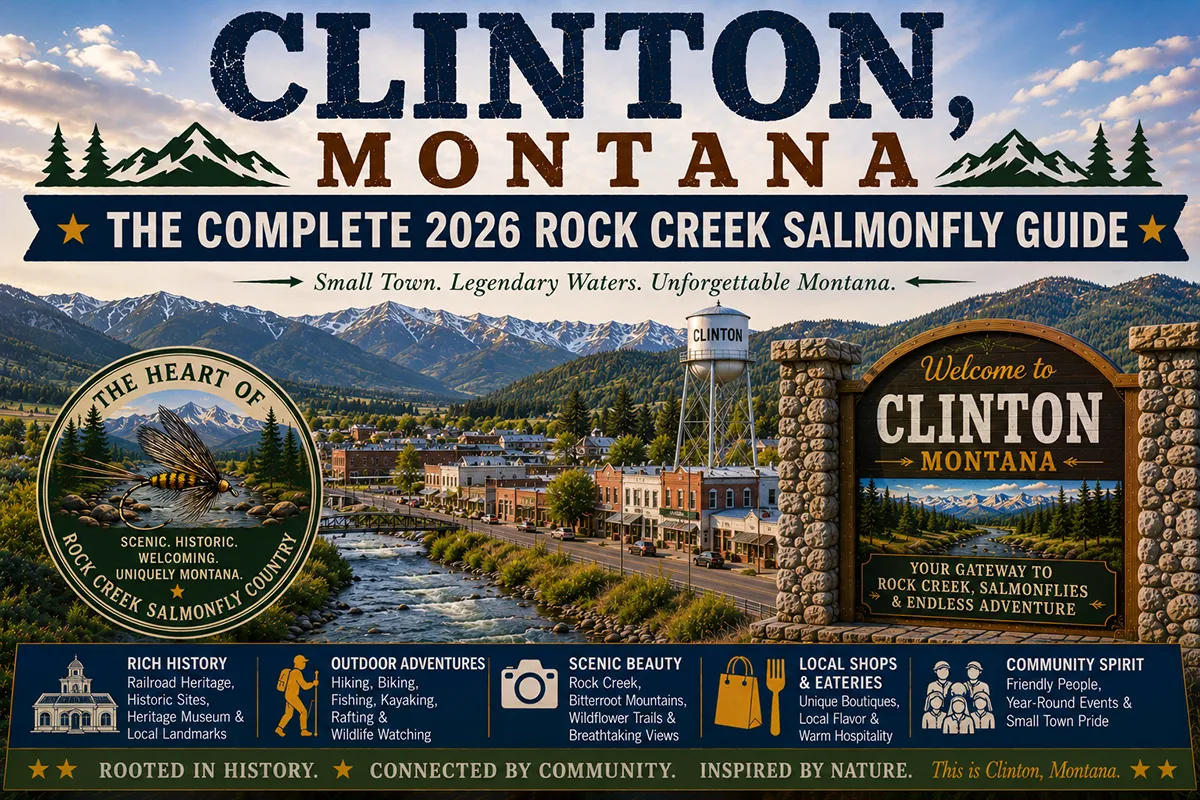
Clinton is a roadside community of about 1,000 people where the Clark Fork River meets the mouth of Rock Creek, one of the best-known trout streams in Montana.
TL;DR
- Clinton sits on I-90 east of Missoula, at the mouth of Rock Creek, and works best as a gateway, not a destination.
- Rock Creek is the draw: a freestone trout stream with a famous salmonfly hatch that usually starts around Memorial Day and peaks in June, and a 42-mile road that follows it.
- Services in town are limited, and Rock Creek Road has none, so fuel, food and spare tires belong on the checklist.
- The best plan pairs Clinton with Missoula, Alberton or Philipsburg, and avoids the high-water weeks if fishing is the goal.
Liked this article?
Add Roaming Montana as a preferred source so you see more of our articles and guides on Google.
What Clinton Is and Why Anglers Know It
Clinton looks like a freeway exit with a bar and a few businesses. The 2020 census counted 1,018 people, down from 1,052 in 2010, according to Wikipedia.
The community sits at about 3,458 feet in southeastern Missoula County. The Clark Fork forms its southwestern edge, and small creeks such as Starvation Creek, Wallace Creek and Dirty Ike Creek join the river from the east.
What makes Clinton matter is what lies just upstream. Rock Creek enters the Clark Fork here after flowing roughly 52 to 55 miles north from the Sapphire Mountains.
Anglers come from across the country for the fishing. Others come for the road, the campgrounds and the quiet.
This guide explains how the area works, when to go, how to use Rock Creek Road and how to avoid common mistakes. It is part of the wider set of Montana cities and towns covered on this site.
Where Clinton Is and How to Reach It
Clinton lies on Interstate 90, east of Missoula. The distance is roughly 17 to 20 miles, and the drive takes about 25 minutes.
The I-90 exit is listed as Exit 126 on the live post, while Wikipedia lists Exit 120. Check signage on arrival.
Drummond lies east along the interstate, and Philipsburg is reached by Rock Creek Road and Montana Highway 348, or by a longer paved route.
Alberton and Frenchtown lie west of Missoula, and Bonner sits between Missoula and Clinton at the Blackfoot confluence.
The nearest commercial airport is in Missoula. The Montana airports guide covers options, and getting around Montana explains rental cars and the limits of transit.
A car is essential. Rock Creek Road is not a place for low-clearance vehicles in wet weather.
A Short History of Clinton and Rock Creek
The community was founded in 1883 as a stage stop and post office called Betters’ Station. In 1892, it was renamed to honor C. L. Clinton, an official of the Northern Pacific Railroad.
The creek’s story is older. The Salish and Pend d’Oreille peoples used Rock Creek for generations, and its name is translated as “logs in the water.”
The 1855 Hellgate Treaty protects tribal rights to hunt, fish and gather in the ceded territory. That context belongs to any visit to the creek.
In the late 1800s, prospectors arrived after gold rumors. Investors, including President Grover Cleveland, put about $1.5 million into the area, but the claims proved thin and the promised railroad never arrived.
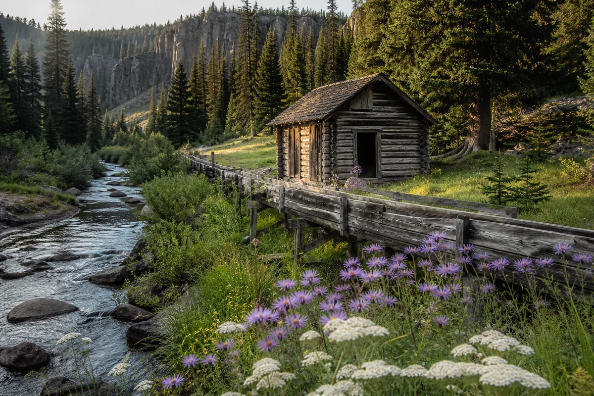
Homesteaders followed. The Morgan-Case Homestead honors Annie Morgan, who settled there in the early 1890s, and the Hogback Homestead includes a wood flume built in 1913. Both can be rented through the Forest Service.
Rock Creek: What Makes It Different
Rock Creek is a freestone stream, which means flows rise and fall with snowmelt and weather. It tends to run high and often unwadeable from May into early June.
By July, the creek is generally wadeable again. Fall usually brings low, clear flows.
The fish include rainbow, brown and westslope cutthroat trout, plus mountain whitefish. Bull trout also live here, and Wikipedia notes that purposefully fishing for them is prohibited.
Fish commonly run 12 to 16 inches, according to Grizzly Hackle. Many are wild, and the fishing pressure is part of the reason catch-and-release is common.
The creek is a Montana favorite because it combines good fish with public access and easy road access. It is also close to Missoula, which means it is busy.
The Montana public stream access law allows fishing within the original high-water mark. Access still requires care around private land.
The Salmonfly Hatch
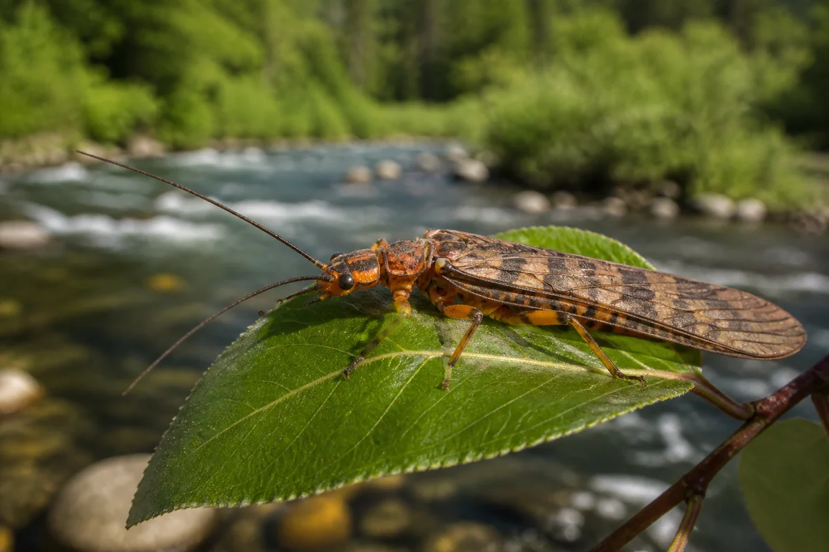
The salmonfly hatch is the event that defines Rock Creek. Grizzly Hackle says it usually starts around Memorial Day and peaks in June.
Timing moves with runoff. In a high-water year, the hatch can arrive while the creek is still too high to fish well.
Golden stones and green drakes join the show by mid-June. Other hatches follow through the season, including caddis, PMDs and tricos.
Anglers who want the hatch should plan flexibly. Check current flows and shop reports, and be ready to shift dates.
The hatch also brings crowds. Lower Rock Creek is busy because it is close to Missoula, and crowds thin by September.
Hatches by Season
Rock Creek fishes well in more months than most visitors expect. This table is based on a regional fly shop’s hatch chart.
| Season | What fish are eating | Notes |
|---|---|---|
| Late winter and early spring | Midges, winter stones, skwalas, blue-winged olives | Quiet, cold, with fewer anglers |
| Late May to June | Salmonflies, golden stones, green drakes | Peak season; high water and crowds |
| July | Golden stones, PMDs, caddis | Wadeable flows return |
| August | Spruce moth, tricos, hoppers | Hot days; fish early or late |
| September and October | Tricos, mahogany duns, October caddis | Lower flows, fewer people |
Hatches vary with weather and water. Treat the table as a guide, not a promise.
Rock Creek Road
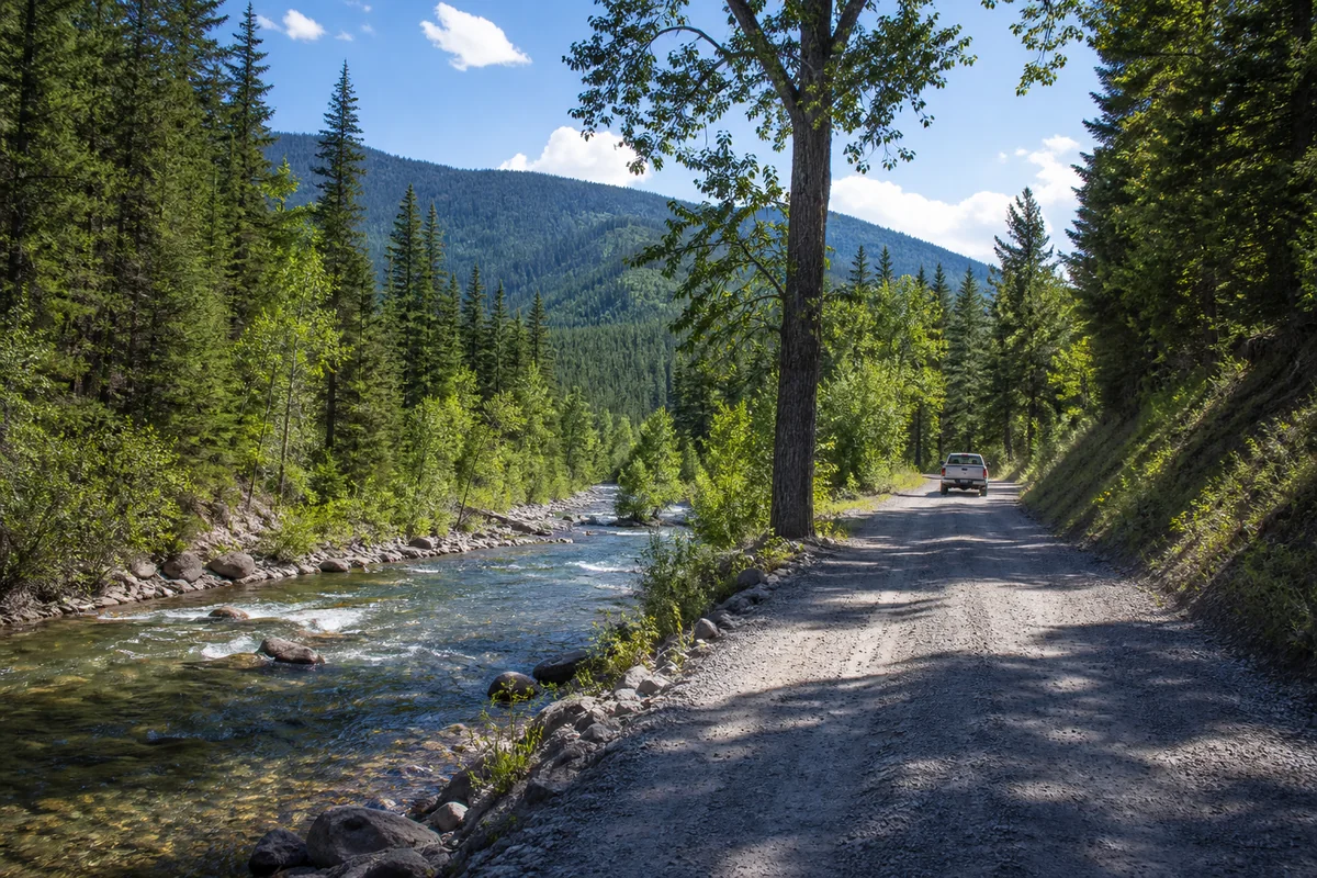
Rock Creek Road is a 42-mile backcountry drive between I-90 at Clinton and the junction with Montana Highway 348. It follows the creek through Lolo National Forest.
The first eight miles are paved, and the rest is gravel beginning at the National Forest boundary. The speed limit is 20 mph along most of the route.
The road is narrow, with many tight turns, and it is often bumpy. A four-wheel-drive vehicle is not needed except during mud season or extended wet weather.
Trailers are allowed only on the paved portion. Large RVs should not attempt the gravel section.
No services exist along the drive. Stock up in Clinton or Philipsburg, and carry water, food, a spare tire and a map.
Most of the road is not maintained for winter travel. Do not plan on driving the full length between late fall and spring.
Light traffic makes the drive pleasant, but wildlife and slow vehicles require attention. Bighorn sheep and songbirds are often seen along the route.
Access Along the Creek
Access changes along the creek. A rough map helps.
Near the mouth to Valley of the Moon. The road is paved, and public access sites include Valley of the Moon, Tamarack, Solomon and Sawmill. Private land is also present.
Valley of the Moon to Gillies Bridge. Much of the land is public Forest Service land, starting near Norton Campground about 12 miles up. Campgrounds include Norton, Harrys Flat, The Dalles and Bitterroot Flat.
Above Gillies Bridge. Parts of the creek flow through mostly private land, and wading below the high-water mark is the usual approach.
The upper creek, above Siria and toward the forks, is generally less pressured. Driving 15 or more miles up the road is often the best way to find solitude.
Float fishing is limited. Grizzly Hackle says the float season is short and ends July 1, and other sources say floating is prohibited in summer.
Camping and Lodging
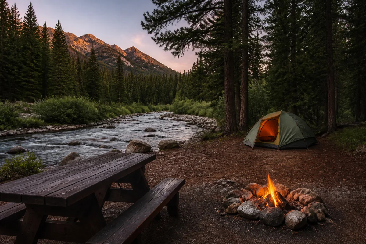
Four riverside Forest Service campgrounds are commonly listed: Harry’s Flat, Siria, Grizzly and Dalles. They are first come, first served and tend to fill quickly in summer.
Primitive campsites are also available. Practice leave-no-trace camping and carry out all trash.
Cabin rentals, short-term rentals and the Rock Creek Mercantile & Motel are listed on booking sites. Book early for the salmonfly weeks.
Missoula is the best base for travelers who want a wider choice of hotels, restaurants and fly shops.
Beyond Fishing: Other Things to Do
Not everyone comes for trout. Rock Creek has other draws.
The Rock Creek microburst
On June 15, 1989, a severe thunderstorm produced a downdraft of about 150 mph that flattened a steep forest. A roadside sign explains the event.
Welcome Creek Wilderness
The 28,135-acre Welcome Creek Wilderness lies along a tributary of Rock Creek. It has no roads or homes, and it offers a quiet hiking option.
Wildlife watching
Rock Creek’s wildlife includes American dippers, osprey, bald eagles, bighorn sheep, deer, elk and moose. Black bears and mountain lions also live in the area.
Keep a respectful distance, store food properly and carry bear spray on hikes.
Alberton Gorge
Alberton lies west of Missoula and offers whitewater on the Clark Fork. It is a good pairing for a day that mixes fishing and rafting.
A Simple Clinton Day Plan
A balanced day mixes the road, the creek and a meal.
Morning. Fuel up and buy supplies in Clinton. Drive the first miles of Rock Creek Road and stop at a public access site.
Midday. Walk or fish upstream from a pullout, away from the most crowded stretch.
Afternoon. Continue up the road for views and a picnic, or turn around and head back toward Missoula.
Evening. Eat in Clinton or Missoula, and watch for wildlife along the road at dusk.
Start early in June. Afternoon thunderstorms are common, and weekend traffic is heavy.
Best Time to Visit Clinton and Rock Creek
Late May and June are the salmonfly weeks. They bring the best-known fishing and the heaviest crowds.
July offers wadeable flows and warm days. Evening hatches can be excellent.
September and early October bring cooler air, fewer anglers and golden cottonwoods.
Winter is quiet. Rock Creek Road is not maintained, and the winter driving guide covers I-90 conditions.
Late summer can bring haze. The wildfire smoke guide explains how to plan. For the wider picture, see the best time to visit Montana.
Clinton, Missoula or Philipsburg: Choosing a Base
Rock Creek can be reached from either end, and the best base depends on the trip. Each option trades convenience for atmosphere.
| Base | Best for | Trade-offs |
|---|---|---|
| Clinton | Early starts on the lower creek, short stays, fast access to the paved section | Few services, limited lodging |
| Missoula | Hotels, restaurants, fly shops, airport access | Roughly a 25-minute drive before the creek begins |
| Philipsburg | Reaching the upper creek and a historic mining-town stay | Longer drive to the lower creek, and the connecting road is gravel |
| Campgrounds on Rock Creek | Waking up beside the water | First come, first served, no services, summer crowds |
Travelers who plan to fish dawn and dusk often choose a creek-side campground or cabin. Those who want variety usually choose Missoula and make day trips.
What to Pack for Rock Creek
Supplies matter more here than in most Montana towns, because the road has no services.
- A full-size spare tire, a jack and a tire gauge
- A full tank of fuel before leaving I-90
- Water, food and a cooler for a full day
- Paper map or downloaded offline maps
- Bear spray and a plan for storing food
- Layers, because canyon mornings can be cold even in June
- Polarized sunglasses, a wading belt and a landing net for anglers
- A Montana fishing license and a copy of current regulations
- Trash bags, since there is no trash service at pullouts
Frequently Asked Questions
Is Clinton, Montana worth visiting?
Clinton suits travelers who want a quiet creek, a scenic gravel drive or trout fishing. Travelers looking for restaurants, shops and museums are better served in Missoula.
When is the Rock Creek salmonfly hatch?
The hatch usually begins around Memorial Day and peaks in June, according to Grizzly Hackle. High runoff can delay good fishing, so check current flows before booking.
How long is Rock Creek Road?
Rock Creek Road runs 42 miles from I-90 at Clinton to Montana Highway 348. The first eight miles are paved, and the remainder is gravel.
Can Rock Creek Road be driven in winter?
Most of the road is not maintained for winter travel. Conditions vary, so winter trips should be limited to the paved section unless local sources confirm otherwise.
Is there gas or food on Rock Creek Road?
No services are reported along the gravel section. Fuel and food should be purchased in Clinton, Missoula or Philipsburg beforehand.
Is Clinton a good base for visiting Missoula?
Clinton works for travelers who prefer a quiet stay, though Missoula has far more lodging and dining. The drive takes about 25 minutes.
Do visitors need a fishing license?
Yes. A Montana fishing license is required, and regulations differ by stretch of river. Fish, Wildlife & Parks publishes current rules.
Etiquette and Safety
Rock Creek is busy, and manners matter. Give other anglers space, and avoid wading through water someone is actively fishing.
Respect private property. Stay below the high-water mark where required, and leave gates as found.
A Montana fishing license is required, and rules change by section. Read the current regulations before fishing.
Cold, fast water is dangerous during runoff. Do not wade alone in high flows, and wear a wading belt.
Honest Expectations
Clinton is small. A bar, a mercantile and a few services are the main offerings.
Cell service can fail on Rock Creek Road. Download maps, and tell someone the route.
Weekends in June are busy, and parking at popular access sites can fill early.
Planning Tips Most Listings Skip
- Check flows before planning a hatch trip.
- Book camping and guides well ahead for late May and June.
- Walk away from access points. A quarter mile often means fewer anglers.
- Carry a full-size spare tire for the gravel road.
- Use best rivers in Montana for other options if Rock Creek is too busy.
- Respect tribal rights and cultural context along the creek.
- Leave no trace, especially around campgrounds and homesteads.
Quick Facts
| Detail | Info |
|---|---|
| County | Missoula |
| Population | 1,018 (2020 census) |
| Elevation | About 3,458 ft |
| Founded | 1883 as Betters’ Station; renamed in 1892 |
| Main road | I-90 |
| Distance to Missoula | Roughly 17 to 20 miles |
| Rock Creek length | About 52 to 55 miles |
| Rock Creek Road | 42 miles to MT 348; first 8 miles paved |
| Salmonfly hatch | Around Memorial Day through June, varies by year |
| Best seasons | Late May to June for hatch; September for quiet |
| Services | Limited; none on Rock Creek Road |
Final Thoughts
Clinton earns its reputation through what lies upstream. A creek, a road and a few historic homesteads make the valley worth a slow visit.
Plan around water and weather, bring supplies and treat the place with care. Save this guide for a western Montana trip, and browse the full set of Montana cities and towns for the next stop.