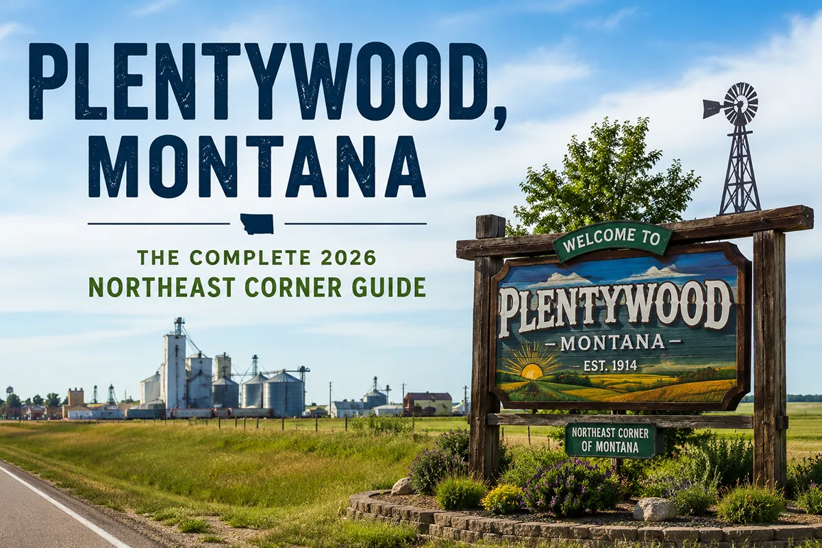
The name came from a frustrated chuck wagon cook named Dutch Henry who told cowboys they could find “plenty wood” for their campfire two miles up the creek. That’s how Plentywood got its name — from a cook, a campfire, and an offhand remark on the northeastern Montana prairie.
The town has more interesting history than that, though. From 1918 to 1934, Sheridan County was governed by the Communist Party of America. Not metaphorically — the party had genuine political control, their own newspaper, and elected officials.
Plentywood was, briefly, the most politically radical county in the United States.
TL;DR
- Plentywood (~1,700) is the county seat of Sheridan County in Montana’s extreme northeastern corner, 25 miles south of Canada and 24 miles west of North Dakota.
- The Outlaw Trail — where Butch Cassidy established a rest station and rustlers moved stolen cattle into Canada — passed through Sheridan County.
- The Sitting Bull surrender site is near Plentywood — the Sioux leader surrendered to U.S. forces near here in 1881 after five years in Canada.
- Sheridan County was governed by the Communist Party from 1918 to 1934 — the most politically radical county in America during that period.
- Brush Lake State Park (31 miles south) is a beautiful prairie lake with white sandy beaches.
- Medicine Lake National Wildlife Refuge is one of the northern plains’ most significant migratory bird habitats.
- Best for: remote northeastern Montana road trips, genuinely unusual American history, birding, and the authentic Hi-Line frontier experience.
Liked this article?
Add Roaming Montana as a preferred source so you see more of our articles and guides on Google.
Plentywood at a Glance
| Population (2020) | ~1,700 |
|---|---|
| County | Sheridan County (county seat) |
| Region | Extreme Northeast Montana |
| Elevation | 2,041 ft |
| Distance to Canadian border | ~25 miles north |
| Distance to North Dakota border | ~24 miles east |
| Distance to Wolf Point | ~85 miles west (~1.5 hours) |
| Distance to Williston, ND | ~75 miles east (~1.25 hours) |
| Best for | Remote northeastern Montana, unusual history, birding, Brush Lake |
What Makes Plentywood Different
Three stories converge at Plentywood that you won’t find combined anywhere else in Montana:
The Outlaw Trail. Butch Cassidy established a rest station in the Big Muddy Valley west of Plentywood, and the trail he used for moving stolen cattle and horses between Wyoming, Montana, and Canada passed through Sheridan County. The rustlers used the remote terrain and the proximity to the Canadian border to evade pursuit. Cassidy named the trail.
The Communist Era. Between 1918 and 1934, the Communist Party of America controlled Sheridan County government. The movement grew from wheat farmers exhausted by boom-and-bust cycles and railroad monopoly pricing. They had their own newspaper (The Producer’s News), elected sheriffs, county commissioners, and other officials, and maintained genuine political control for over a decade. The story of why it rose and fell — drought, federal pressure, and the eventual collapse of agricultural Communism — is one of the most extraordinary in Montana political history.
Sitting Bull’s surrender. Near present-day Plentywood, Sitting Bull and his band of Sioux surrendered to the U.S. Army in July 1881, after five years of refuge in Canada. The surrender ended the final phase of Sioux resistance following the Battle of Little Bighorn.
For broader trip context, see my Montana cities and towns hub.
The Top 10 Things to Do In & Around Plentywood
1. Sheridan County Museum & Civic Center
The regional history museum covering all three of Plentywood’s extraordinary stories — the Outlaw Trail era, the Communist political movement, and the Indigenous history of northeastern Montana. Also: oil boom artifacts, agricultural history, fossil displays. One mile east of town center.
2. Brush Lake State Park (31 miles south)
A prairie lake with white sandy beaches — one of the most visually surprising state parks in Montana. Boasting both RV and tent sites, a boat launch, and recreational fishing spots, Bolster Dam is one of Montana’s best-kept secrets. Clear water, swimming, and camping in an unexpected Great Plains setting.
3. Medicine Lake National Wildlife Refuge
About 25 miles southwest of Plentywood — a critical habitat for colonial nesting waterbirds on the northern Great Plains. American white pelicans, great blue herons, cormorants, and dozens of duck species nest here. During migration, the refuge hosts extraordinary concentrations of waterfowl. One of the most important wildlife refuges in northeastern Montana.
4. Outlaw Trail Historical Drive
Drive the Big Muddy Valley west of Plentywood — the terrain where Butch Cassidy established his rest station and where rustlers moved cattle between Wyoming, Montana, and Canada. Historical markers along county roads trace the route.
5. Sitting Bull Surrender Site (Near Poplar/Wolf Point area)
The approximate location where Sitting Bull and 186 followers surrendered to U.S. forces on July 19, 1881, ending five years of Canadian exile. Historical markers in the region commemorate the event.
6. Sheridan County Fair & Rodeo (August)
The annual county fair in Plentywood — livestock shows, saddle club rodeo, carnival, and community events. One of northeastern Montana’s most authentic county fairs.
7. Blue Moon Bar
Plentywood’s most distinctive establishment — Canadian currency welcome, attached casino, locally famous pizza. The social center of the county.
8. Westby (25 miles north, near Canadian border)
A small border community just 2 miles from Saskatchewan. The northernmost town in Montana east of the mountains — worth a brief detour for the “end of the road” experience.
9. Plentywood Golf Club
A 9-hole course on the Montana prairie — affordable, low-key, surrounded by wheat fields.
10. Big Muddy Valley Scenic Drive
The Big Muddy Creek valley west and south of Plentywood — rolling prairie badlands and creek breaks that provided the hiding terrain for the Outlaw Trail era.
Where to Stay
| Hotel | Vibe | Price | Best For |
|---|---|---|---|
| Sheridan Inn | Local motel, clean | $90–140 | Most travelers |
| Affordable Inn | Budget basic | $80–120 | Very budget |
| Brush Lake State Park | Camping | $20–30 | Campers |
| Plentywood area B&Bs | Limited options | $80–130 | Local character |
Where to Eat
- Blue Moon — pizza, drinks, casino; the cultural center of Plentywood
- Ranch House Café — diner standards, breakfast and lunch
- Cassidy’s Bar & Lounge — bar food with a Butch Cassidy name tip of the hat
- Gold Dollar Lodge — casual meals
Getting There
Plentywood is at the intersection of MT-16 and MT-5.
From Wolf Point: 85 miles east via US-2 and MT-16, about 1.5 hours.
From Williston, ND: 75 miles west via ND-5/MT-5, about 1.25 hours.
From Poplar: 70 miles northeast, about 1.25 hours.
From Canada: Saskatchewan Highway 6 south from Estevan to the border.
When to Visit
Summer (June–August): Brush Lake beach season, Medicine Lake NWR peak activity, county fair in August.
Spring (April–May): Best migration birding at Medicine Lake NWR.
Fall (September–October): Hunting season — upland birds and waterfowl; fall migration at the refuge.
Winter: Very cold and remote. Not recommended for casual visitors.
Personal Tips
Read the Communist era story before visiting. The Sheridan County Museum covers it well, but some background — particularly on the Producer’s News newspaper and the 1924 elections — makes the museum visit far richer. It’s one of the most genuinely unusual political stories in American history.
Medicine Lake NWR in spring. The pelican nesting colony and spring migration make this one of the northern Great Plains’ finest wildlife spectacles. Contact the refuge before visiting for current road access.
Brush Lake is worth the 31-mile drive. The white sand beaches on a prairie lake are genuinely surprising — it doesn’t look like Montana.
Blue Moon accepts Canadian currency. That detail tells you everything about Plentywood’s geographic and cultural position.
Plentywood Quick Facts
| Founded | 1912 | | Named for | “Plenty wood” — comment by chuck wagon cook Dutch Henry | | Communist era | 1918–1934, Sheridan County under Communist Party governance | | Sitting Bull surrender | July 19, 1881, near present-day Plentywood area | | Average summer high | 84°F | | Average winter low | -4°F |
Conclusion
Plentywood is at the edge of Montana in multiple senses — geographically at the state’s extreme northeast corner, and historically at the edge of American political experience. The Communist era alone makes it worth understanding; add the Outlaw Trail, Sitting Bull’s surrender, Brush Lake’s white sand beaches, and Medicine Lake’s wildlife spectacle, and Plentywood rewards travelers who make the long drive.
Have a Plentywood question? Drop it in the comments — I read every one.
Frequently Asked Questions
Is Plentywood Montana worth visiting?
Yes for travelers interested in unusual American history. Plentywood’s combination of the Outlaw Trail (Butch Cassidy’s rest station), the Communist Party era (1918–1934, when Sheridan County was governed by the Communist Party — the most politically radical county in America), Sitting Bull’s surrender site, Brush Lake State Park (white sand beaches on the prairie), and Medicine Lake NWR make it genuinely distinctive.
What was the Communist Party era in Plentywood Montana?
From 1918 to 1934, the Communist Party of America controlled Sheridan County government. The movement arose from wheat farmers exhausted by boom-and-bust cycles and railroad monopoly pricing. The party published their own newspaper (The Producer’s News), elected county commissioners and sheriffs, and maintained genuine political control for over a decade — making Sheridan County briefly the most politically radical county in the United States. The movement collapsed amid drought, federal pressure, and internal divisions.
What is the Outlaw Trail near Plentywood?
The Outlaw Trail was a route used by cattle and horse rustlers to move stolen livestock between Wyoming, Montana, and Canada during the late 19th century. Butch Cassidy named the trail and established a rest station in the Big Muddy Valley west of present-day Plentywood. The remote terrain and proximity to the Canadian border made the area ideal for evading law enforcement.
What is Brush Lake State Park near Plentywood?
Brush Lake State Park is a state park 31 miles south of Plentywood featuring a clear prairie lake with white sandy beaches — a genuinely surprising landscape feature in the northeastern Montana grasslands. The park has RV and tent campsites, a boat launch, and fishing. Considered one of Montana’s most scenic prairie lake destinations.
How far is Plentywood from the Canadian border?
Plentywood is approximately 25 miles south of the Canadian border at the Saskatchewan crossing.