In the summer of 1922, workers drilling for water on the Kevin-Sunburst anticline struck something unexpected. The well flowed oil. Within weeks, the word was out across the Hi-Line: Montana had oil.
The Kevin-Sunburst discovery triggered a land rush in Toole County, brought in major oil companies, and generated the sudden burst of prosperity that led — the very next year — to the bizarre 1923 Jack Dempsey heavyweight boxing match in Shelby, when civic leaders there tried to announce Montana’s new wealth to the world.
The four banks that went bankrupt when the Dempsey fight flopped are part of the story. So are the nodding donkey pump jacks still working the Kevin-Sunburst anticline today, over a century after the original discovery.
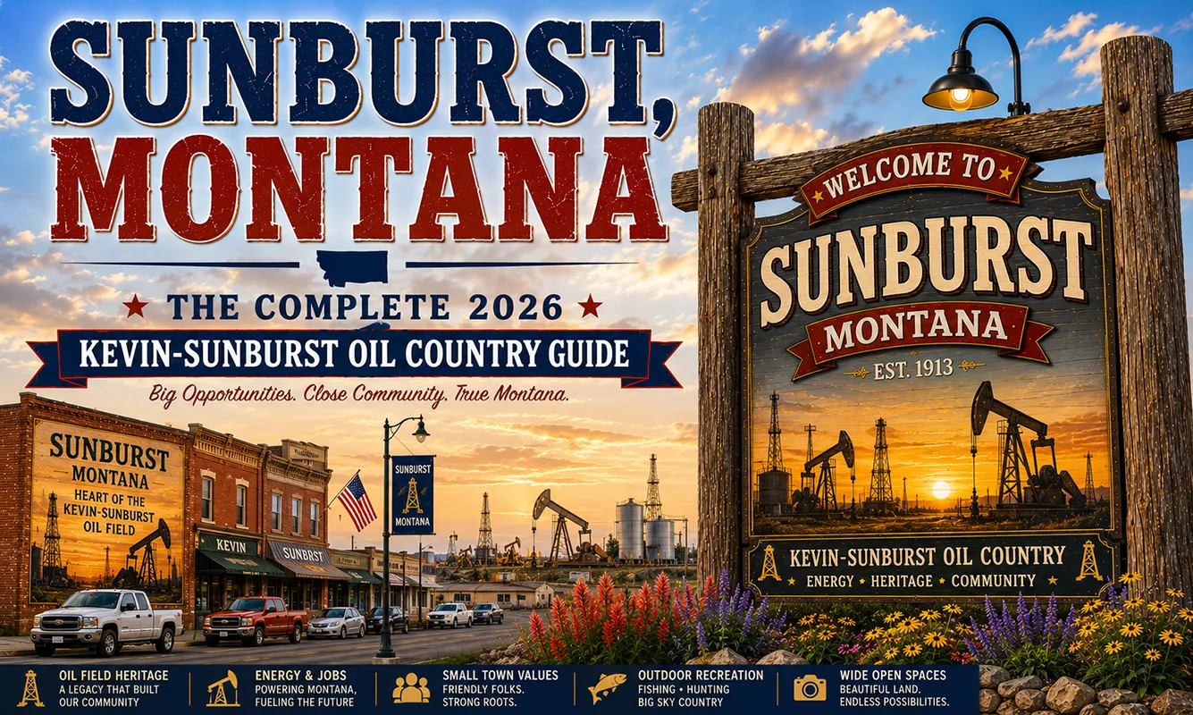
Sunburst, named optimistically for the dawn of a new era when it was platted in 1914, sits at the center of this petroleum landscape. The town is small — about 350 people — and positioned between the Kevin oil infrastructure to the east, the Sweetgrass Hills to the northeast, and the Canadian border to the north. It’s a Hi-Line community shaped entirely by two forces: agriculture and oil.
TL;DR
- Sunburst (~350) is a small Toole County town on US-2 between Shelby (18 miles south) and the Canadian border (12 miles north).
- The Kevin-Sunburst Oil Field — discovered in 1922 — is Montana’s oldest and one of its most continuously productive commercial oil fields.
- The Sweetgrass Hills are visible 20 miles east — the highest isolated peaks in the contiguous US at ~7,000 feet, sacred to the Blackfeet.
- The Port of Sweetgrass (12 miles north on I-15) is one of Montana’s major 24/7 Canada crossings.
- Best for: petroleum history enthusiasts, Canadian border travelers, Sweetgrass Hills admirers, and Hi-Line corridor completers.
Liked this article?
Add Roaming Montana as a preferred source so you see more of our articles and guides on Google.
Sunburst at a Glance
| Population (2020) | ~350 |
|---|---|
| County | Toole County |
| Region | North-Central Montana (Hi-Line) |
| Elevation | 3,497 ft |
| Distance to Shelby | ~18 miles south (~20 min) |
| Distance to Port of Sweetgrass (I-15) | ~12 miles north (~15 min) |
| Distance to Canadian border | ~12 miles north |
| Distance to Cut Bank | ~35 miles west (~40 min) |
| Distance to Conrad | ~30 miles east (~35 min) |
| Best for | Kevin-Sunburst oil field history, Sweetgrass Hills views, Canadian border travel |
What Makes Sunburst Different
Montana’s petroleum industry has its genesis in the ground around Sunburst. Before the Kevin-Sunburst discovery in 1922, Montana’s economy was built on agriculture, cattle, copper, and timber.
The oil discovery opened a fourth major chapter. The Kevin-Sunburst field — formed by a geologic anticline that trapped migrating petroleum — has been producing continuously since 1922, making it Montana’s oldest commercial oil field and one of the longest-running in the entire Mountain West.
The discovery’s timing created one of Montana’s strangest historical moments. Shelby, 18 miles south, suddenly had civic leaders who believed their small Hi-Line town was destined for national prominence.
In 1923 they staged the world heavyweight boxing championship between Jack Dempsey and Tommy Gibbons — built a football-field-sized arena, made it a Fourth of July event, and expected 60,000 paying customers.
Only 7,702 showed up; 13,000 watched for free; four banks went bankrupt. The Marias Museum in Shelby tells this story in full. But the oil that started it is still being pumped in the fields around Sunburst.
The Sweetgrass Hills are the other defining feature of the Sunburst landscape. These three volcanic buttes — East Butte, Gold Butte, and West Butte — rise to approximately 7,000 feet approximately 20 miles east of Sunburst and are the highest isolated peaks in the contiguous United States.
Sacred to the Blackfeet Nation, they’ve been at the center of significant preservation battles in the 1990s and 2000s when mining interests sought access. The hills were protected through a combination of federal land purchase and tribal advocacy.
For broader trip context, see my Montana cities and towns hub.
The Top 10 Things to Do In & Around Sunburst
1. Kevin-Sunburst Oil Field Drive
The primary activity for petroleum history enthusiasts. Drive the county roads and US-2 in the Kevin area east of Sunburst to see the active pump jacks of Montana’s oldest oil field.
The nodding donkeys working in the wheat-and-canola prairie landscape are visually striking — petroleum infrastructure on an agricultural landscape that otherwise looks unchanged from the 1880s cattle era.
No formal tour exists; the field is visible from public roads, and the small community of Kevin (8 miles east) was the center of the original discovery.
2. Sweetgrass Hills Views (East on US-2 toward Kevin)
The drive east from Sunburst toward Kevin and the Sweetgrass Hills is one of the Hi-Line’s more distinctive visual sequences. The three buttes gradually resolve from horizon bumps into substantial peaks as you approach.
At close range, the contrast between the volcanic mountains and the flat wheat country around them is dramatic. Gold Butte (the highest) shows mining scarring from the late 1800s gold operations; the current protected status prevents further development.
3. Port of Sweetgrass, Canada Crossing (12 miles north on I-15)
The Port of Sweetgrass is one of Montana’s most significant 24/7 Canada border crossings — the I-15 connection to Alberta’s Highway 4 toward Lethbridge.
For travelers crossing into Canada, this crossing is generally faster than Roosville (near Eureka) due to its commercial crossing infrastructure. US and Canadian customs both operate 24 hours. Full services on both sides of the border.
4. Shelby’s Marias Museum (18 minutes south)
The Marias Museum in Shelby covers the full Kevin-Sunburst oil discovery story and the 1923 Dempsey-Gibbons boxing match that resulted from the town’s sudden oil-inflated optimism.
The exhibit on the fight — the bankrupt banks, the promotional disaster, the community aftermath — is one of the most entertaining regional history presentations on the Hi-Line. See Shelby guide.
5. Lake Elwell (Tiber Reservoir) via Shelby (30 min south)
One of Montana’s premier walleye fisheries — 17,000+ acres with five boat ramps and campgrounds. See Shelby guide.
6. Cut Bank & Camp Disappointment (35 min west)
The Lewis and Clark expedition’s northernmost point and the WWII Airmen’s Museum. See Cut Bank guide.
7. Hi-Line US-2 Corridor Drive
US-2 through Sunburst continues east to Havre and west toward Cut Bank — classic Hi-Line agricultural and petroleum landscape. The section between Sunburst and Cut Bank passes some of the cleanest Hi-Line scenery in north-central Montana.
8. Kevin Community (8 miles east)
The tiny community of Kevin is nearly a ghost town today — diminished from its oil boom days — but worth driving through to see the original oil infrastructure landscape up close. The pump jacks nearest the discovery site are concentrated around Kevin.
9. Waterfowl Hunting (Fall)
The potholes and wetlands around Sunburst provide fall waterfowl hunting — mallards, teal, and Canada geese using the Hi-Line wetland complex during southward migration.
10. Conrad Day Trip (30 minutes east)
Sweetgrass Hills context, Pondera County Museum, Port of Sweetgrass via I-15. See Conrad guide.
Where to Stay
| Hotel | Vibe | Price | Best For |
|---|---|---|---|
| Sunburst area — no lodging | — | — | Not applicable |
| Shelby (18 min south) | Chain motels, affordable | $100–170 | Most travelers |
| Cut Bank (35 min west) | Local motels | $90–150 | Glacier East access |
| Lethbridge, Alberta (45 min north via port) | Full Canadian city | $120–220 (CDN) | Canada-bound travelers |
Where to Eat
- Sunburst Bar & Café — basic meals, local gathering place
- Shelby dining (18 min south) — Dixie Inn steakhouse and more; see Shelby guide
- Cut Bank dining (35 min west) — see Cut Bank guide
Getting There & Around
From Shelby: 18 miles north on US-2, about 20 minutes.
From Cut Bank: 35 miles east on US-2, about 40 minutes.
For Port of Sweetgrass: Take I-15 north from Shelby 12 miles to the port, or US-2 north from Sunburst to the port access road.
Cell service: Variable in this area; download offline maps before exploring county roads.
What Sunburst Unlocks
Shelby & Marias Museum (18 min south)
The 1923 Dempsey fight story, Lake Elwell walleye fishing.
Cut Bank & Camp Disappointment (35 min west)
Lewis and Clark’s northernmost point, Glacier County Historical Museum.
Port of Sweetgrass (12 min north)
Montana’s major 24/7 I-15 Canada crossing.
Sweetgrass Hills (20 min east toward Kevin)
Highest isolated peaks in the contiguous US; sacred Blackfeet site.
Glacier National Park East Side (1.5 hours west via Cut Bank/Browning)
St. Mary, Many Glacier, Two Medicine.
When to Visit
Summer (June–August): Best weather for oil field drives and Sweetgrass Hills photography; full services in Shelby and Cut Bank for base camping.
Fall (September–October): Waterfowl hunting; harvest season on the Hi-Line wheat and canola fields.
Year-round: The Port of Sweetgrass is open 24/7; US-2 is maintained year-round; the oil field is working in all seasons.
Late February–March: Combine with Lake Elwell fishing or a drive toward Freezout Lake (near Fairfield/Choteau, 1+ hour south) for snow goose migration.
Personal Tips
The Kevin drive is the experience. Get off US-2 at Sunburst and take the county road east toward Kevin. The pump jacks in the wheat fields, the Sweetgrass Hills growing on the horizon — this is what Montana’s petroleum heritage looks like from ground level.
Understand the Dempsey context before visiting Shelby. The 1923 fight is the most extraordinary consequence of the oil discovery. Read the story before walking through the Marias Museum; the exhibit hits harder with context.
Canada crossing logistics. The Port of Sweetgrass is busier than it looks during the day — peak crossing times (8–10 a.m. and 4–6 p.m.) can have waits. Off-peak crossings are much faster. Passports or enhanced driver’s licenses required for both US citizens and Canadian citizens crossing.
The Sweetgrass Hills are sacred land. The hills themselves are private and tribal land; admire from county roads. The Blackfeet Nation’s successful effort to protect the hills from mining in the 1990s is an important contemporary Indigenous land protection story.
Sunburst Quick Facts
| Founded | 1914 | | Named for | The dawn of a new era (optimistic platting era) | | Kevin-Sunburst Oil Field | Oldest commercial oil field in Montana; producing since 1922 | | Port of Sweetgrass | 12 miles north; 24/7 Canada crossing on I-15 | | Sweetgrass Hills | ~7,000 ft; highest isolated peaks in contiguous US; sacred Blackfeet site | | Average summer high | 80°F | | Average winter low | -2°F |
Conclusion
Sunburst is where Montana’s petroleum story begins — the Kevin-Sunburst anticline beneath the town’s foundations produced the first commercial oil in Montana in 1922, triggering a cascade of economic ambition that led to a boxing match, four bankrupt banks, and over a century of continuous production.
The pump jacks still working the field are living history. The Sweetgrass Hills rising to the northeast are ancient history. The border is 12 miles north. This corner of Toole County has more story per square mile than most travelers realize.
Have a Sunburst question? Drop it in the comments — I read every one.
Frequently Asked Questions
Is Sunburst Montana worth visiting?
Worth a deliberate stop for petroleum history enthusiasts — the Kevin-Sunburst Oil Field is Montana’s oldest commercial oil field, active since 1922, and the pump jacks working the anticline near Kevin (8 miles east) are visible from public roads. Combined with the Marias Museum in Shelby (18 min south) covering the 1923 Dempsey fight that resulted from the oil discovery, and Sweetgrass Hills views 20 miles east, Sunburst is more substantive than its small size suggests.
What is the Kevin-Sunburst Oil Field near Sunburst Montana?
The Kevin-Sunburst Oil Field is Montana’s oldest commercial oil field, discovered in 1922 when a well drilled near the community of Kevin struck petroleum. The field is formed by a geologic anticline that trapped migrating oil. It has produced continuously since 1922 — over a century — making it one of the longest-running oil fields in the Mountain West. Active pump jacks remain visible from public roads in the Kevin area east of Sunburst.
How far is Sunburst from the Canadian border?
Sunburst is approximately 12 miles south of the Canadian border at the Port of Sweetgrass — a 24/7 Canada crossing on I-15 connecting to Alberta’s Highway 4. The Port of Sweetgrass is one of Montana’s major commercial and passenger border crossings.
What happened in Shelby in 1923 after the oil discovery?
After oil was discovered near Sunburst and Shelby in 1922, Shelby civic leaders sought to publicize their town’s new prosperity by staging the 1923 world heavyweight boxing championship between Jack Dempsey and Tommy Gibbons. The fight took place on July 4, 1923, but only 7,702 paying customers attended while 13,000 watched for free. Four Shelby banks went bankrupt; the promoter fled to Canada. The Marias Museum in Shelby covers the full story.