By September of 1890, the Central Montana Railroad was dropping fishermen off at various locations along Belt Creek in what is now Sluice Boxes State Park.
When the creek was designated a Blue Ribbon trout stream in the 1920s, the railroad began running special “fishing trains” on Sundays — loaded with Great Falls residents heading south to fish the canyon.
This was a normal thing that happened in rural Montana in 1924. The fishing trains are gone, the railroad grade is now the hiking trail through the park, and the limestone canyon they passed through is as beautiful as it was when those weekend anglers stepped off the cars.
TL;DR
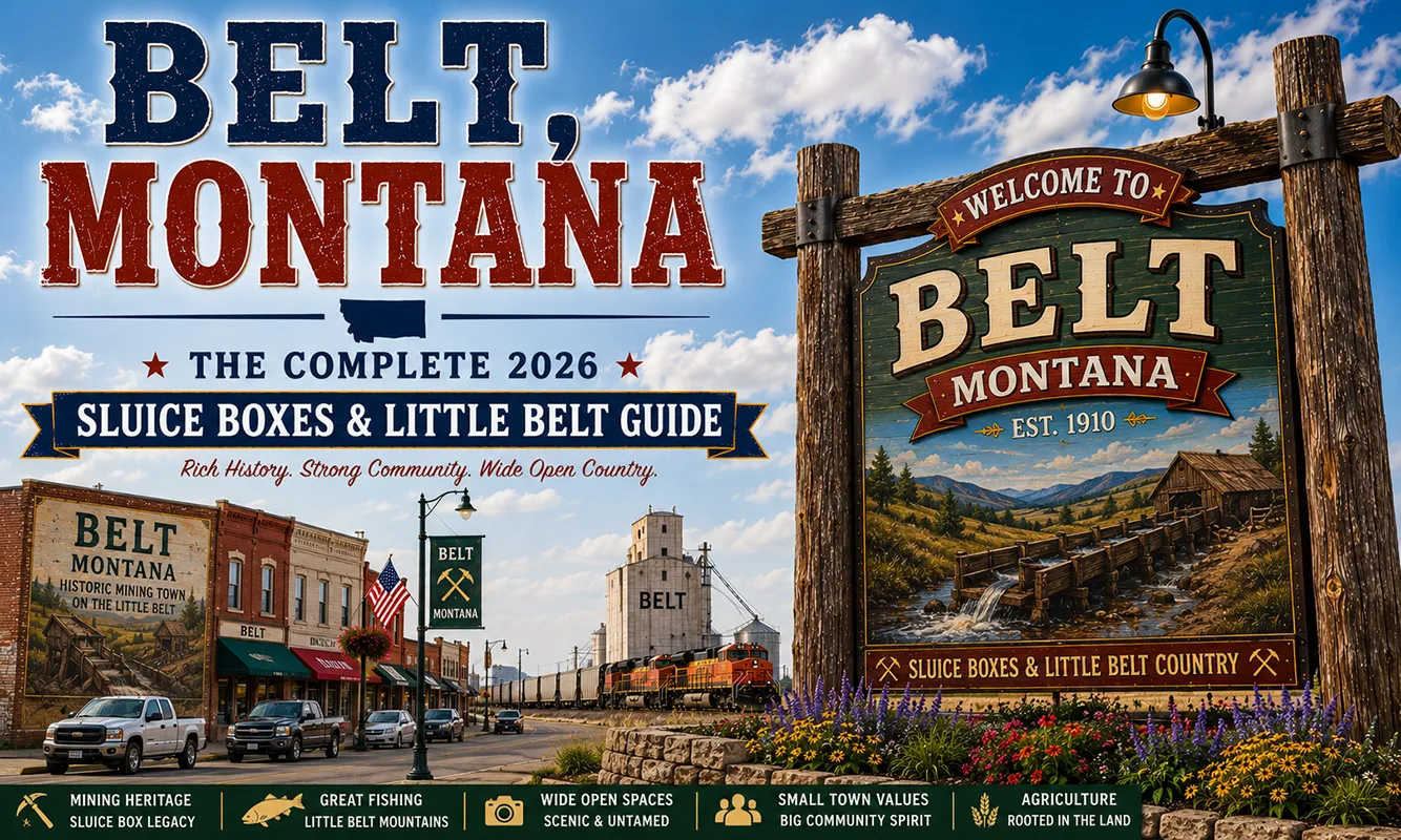
- Belt (~575) is a small Cascade County mining and ranching community 30 miles southeast of Great Falls on US-87.
- Sluice Boxes State Park — 12 miles south via US-89 — follows Belt Creek Canyon through soaring limestone cliffs, with railroad grades, mining ghost towns, and Blue Ribbon trout water. The railroad ran Sunday fishing trains here in the 1920s.
- The Kings Hill Scenic Byway (US-89 south) runs through Belt to the Little Belt Mountains — one of central Montana’s finest scenic drives.
- Best for: Sluice Boxes State Park hikers and anglers, Little Belt Mountains exploration, Kings Hill Scenic Byway travelers.
Liked this article?
Add Roaming Montana as a preferred source so you see more of our articles and guides on Google.
Belt at a Glance
| Population (2020) | ~575 |
|---|---|
| County | Cascade County |
| Region | North-Central Montana |
| Elevation | 3,589 ft |
| Distance to Great Falls | ~30 miles north (~35 min) |
| Distance to Sluice Boxes State Park | ~12 miles south (~15 min) |
| Distance to Lewistown | ~105 miles east (~2 hours) |
| Best for | Sluice Boxes State Park, Belt Creek fishing, Kings Hill Scenic Byway |
What Makes Belt Different
Belt’s identity has been shaped by coal mining, railroads, and now the outdoor recreation that replaced both. The town developed as a coal mining center in the late 19th century — the Belt coal seam powered the Great Northern Railroad’s locomotives across central Montana.
When coal declined, the surrounding agricultural and ranching economy sustained the community. Today Belt is primarily known as the gateway to Sluice Boxes State Park and the northern entry of the Kings Hill Scenic Byway.
The fishing train history is the SERP gap nobody covers adequately. Citizens of nearby Great Falls began visiting the area for fishing, camping, hunting, and other activities as early as 1889 when the railroad connecting silver mines in the Barker and Hughesville mining districts to smelters in Great Falls was completed.
When Belt Creek was named a Blue Ribbon trout stream in the 1920s, the railroad ran special “fishing trains” on Sundays. Think about that for a moment — a railroad specifically running passenger trains on Sundays to drop off trout fishermen at canyon access points. It’s a detail that captures a whole lost world of Montana recreation.
The Kings Hill Scenic Byway (US-89 south from Belt through White Sulphur Springs to Livingston) is one of central Montana’s genuinely underrated drives — the Little Belt Mountains are compact and beautiful, and the route passes through remarkable geological transitions from wheat plains to mountain terrain to the Yellowstone watershed.
For broader trip context, see my Montana cities and towns hub.
The Top 10 Things to Do In & Around Belt
1. Hike Sluice Boxes State Park
The definitive Belt activity. When mining was king in Montana, railroad tracks snaked through mountain ranges to reach small boom towns and haul ore to market. One such mining area lay in the Little Belt Mountains south of Great Falls.
The mining towns of Monarch, Neihart, Hughesville, and Albright thrived briefly while the ore held out. Today, only the small recreational communities of Monarch and Neihart remain.
Hughesville and Albright are ghost towns, and trains no longer chug through the canyons. The abandoned railroad bed is now the primary hiking trail — 8.7 miles out-and-back through the canyon, passing mine remnants, old cabins, a historic railroad trestle (currently closed for through-hiking), and the soaring limestone walls.
Trail details: The Upper Sluice Boxes Trailhead is the standard entry. The trail follows the railroad grade through the canyon. Expect multiple creek crossings — bring water shoes or waterproof boots. The creek is always cold; spring snowmelt raises it dramatically. Dogs on leash welcome.
2. Fish Belt Creek (Blue Ribbon Trout Stream)
Belt Creek through Sluice Boxes is designated Blue Ribbon trout water — wild rainbow and brown trout in a cold, clear limestone creek. The canyon sections fish best, with good pocket water and deep pools below the limestone ledges. Access from the state park trail; backcountry camping is permitted. Montana fishing license required.
3. Drive Kings Hill Scenic Byway (US-89 South)
US-89 from Belt southward into the Little Belt Mountains is one of central Montana’s finest scenic drives.
The highway climbs from the wheat-country plains into increasingly dramatic mountain terrain, passing through Monarch and Neihart (small mining-era communities) before reaching Kings Hill Pass (7,393 feet) — the highest paved mountain pass in Montana east of the Continental Divide. Beyond the pass, White Sulphur Springs is 30 miles south.
4. Explore Ghost Towns — Albright and Riceville
The park includes significant historic structures and remnants of the abandoned towns of Riceville and Albright, which once existed for the purpose of mining limestone in the canyon.
Albright’s limestone smelting furnaces and root cellars are visible on the trail through the park. These are genuine ghost town remnants accessible on foot — not developed interpretive sites, but real structures slowly returning to the canyon.
5. Belt Creek Canyon Float (Experienced Only)
The canyon section of Belt Creek can be floated by experienced kayakers and packrafters during appropriate water levels. The float is technical — narrow limestone slot sections, cold water, and limited pullout options. Only for experienced paddlers with proper equipment. Spring runoff (May–June) brings the highest and most dangerous water.
6. Little Belt Mountains Hiking
Beyond the Sluice Boxes corridor, the Little Belt Mountains offer extensive Lewis and Clark National Forest hiking. The South Fork of the Sun River, Elk and Smith creeks, and numerous drainages offer jumping-off points for backcountry exploration.
The Teton Canyon Road seven miles northwest of Choteau will take you to the Our Lake trailhead where you can take a 7-mile hike to an alpine lake frequented by mountain goats. Within the Little Belts proper, trails access high ridges and alpine basins from multiple trailheads along US-89.
7. Kings Hill Winter Skiing — Showdown Ski Area
Kings Hill Pass hosts Showdown Ski Area — a small, affordable, genuinely local Montana mountain with 1,400 feet of vertical drop and good powder skiing. No resort crowds, no resort prices. Open December through April depending on snowpack.
8. Monarch and Neihart Communities (30–40 miles south)
Two surviving communities from the mining era in the Little Belt Mountains — both significantly smaller today than their 1890s peaks. Monarch has a café and cabins; Neihart has excellent mountain scenery and a few services. Both make natural stopping points on the Kings Hill Scenic Byway drive.
9. Belt Historic Downtown
Belt’s downtown block preserves the character of a 1900s–1910s coal mining supply town. The Belt Coal Company history — including the fires that plagued early coal mining operations here — is part of the town’s identity.
10. Day Trip to Great Falls (35 minutes north)
C.M. Russell Museum, Lewis & Clark Interpretive Center, Giant Springs State Park, Black Eagle Dam, and Montana’s third-largest city. See Great Falls guide.
Where to Stay
Belt has limited lodging. Great Falls is the practical overnight base for most travelers visiting Sluice Boxes.
| Hotel | Vibe | Price | Best For |
|---|---|---|---|
| Belt area vacation rentals | Rustic cabins | $100–180 | Multi-night |
| Showdown Ski Area cabins (40 min south, winter) | Ski season | $130–220 | Skiers |
| Great Falls hotels (35 min north) | Full selection | $130–250 | Most travelers |
| Sluice Boxes backcountry camping | Primitive, in park | Free | Hikers, anglers |
Where to Eat
- Belt Pub — the community gathering place for food and drinks
- The Mint Bar & Café — reliable local meals
- Great Falls (35 min north) — full restaurant variety; see Great Falls guide
- Monarch area cafés (30 min south on Kings Hill Byway) — good stop mid-scenic drive
Getting There & Around
From Great Falls: 30 miles south on US-87 and US-89, about 35 minutes.
For Sluice Boxes: From Belt, drive 15 miles south on US-89, then 2 miles west on a county road to the parking area at Riceville Bridge.
For Kings Hill Scenic Byway: Begin on US-89 south from Belt.
By plane: Great Falls International Airport (GTF) is the nearest major airport, 35 minutes north.
What Belt Unlocks
Sluice Boxes State Park (12 miles south)
The park itself is the primary destination — Blue Ribbon trout, limestone canyon, railroad history.
Kings Hill Scenic Byway (US-89 south)
Through Monarch, Neihart, Kings Hill Pass to White Sulphur Springs and Livingston.
Showdown Ski Area (40 miles south)
Affordable local mountain skiing December–April.
Great Falls (35 min north)
Full city services, C.M. Russell Museum, Lewis & Clark Interpretive Center.
Lewistown (2 hours east)
Central Montana’s most complete small city, via the Judith Basin.
When to Visit
Summer (June–August): Sluice Boxes trail fully accessible, Belt Creek at manageable fishing levels. Kings Hill Scenic Byway clear of snow.
Spring (April–May): Belt Creek in high water — the canyon is spectacular but flooding. Trail may have sections blocked by high water.
Fall (September–October): Best Blue Ribbon fishing in Belt Creek; fall colors in the canyon canyon. Less crowded than summer.
Winter (November–March): Showdown Ski Area open; Sluice Boxes trail accessible but cold. Kings Hill may have snow; check road conditions.
Personal Tips
Multiple creek crossings at Sluice Boxes are cold. Even in August, Belt Creek stays cold — it’s spring-fed and limestone-filtered. Water shoes or waterproof hiking boots make the crossings manageable. Don’t underestimate the creek during spring runoff.
The ghost town remnants reward careful looking. Albright’s limestone furnace structures are subtle — the canyon reclaims things slowly. Bring good eyes and walk slowly through the park sections near the former townsite.
Kings Hill Scenic Byway deserves a full day. Drive all the way to White Sulphur Springs and back, or continue to Livingston and return via I-90. The route through the Little Belts is more than just a scenic highway — each community and landscape transition tells a piece of central Montana’s story.
Fish early morning at Sluice Boxes. Brown trout in Belt Creek are active at first light and in the evening. Midday fishing in summer is significantly less productive on this creek.
Showdown Ski Area is worth knowing. If you’re in central Montana in winter, this is the affordable locals’ mountain — no destination-resort prices, consistent powder, and genuine small-mountain character.
Belt Quick Facts
| Founded | 1882 (coal mining era) |
|---|---|
| Named for | Belt Creek |
| Sluice Boxes State Park | Established 1974; 1,454 acres |
| Fishing trains | Railroad ran special Sunday fishing trains in 1920s |
| Kings Hill Pass | 7,393 ft — highest paved pass east of Continental Divide in Montana |
| Average summer high | 81°F |
| Average winter low | 8°F |
Conclusion
Belt is a small town with an outsized outdoor recreation asset in Sluice Boxes State Park — one of the most visually dramatic and historically layered state parks in Montana. The limestone canyon, the Blue Ribbon trout stream, the ghost town remnants, and the abandoned railroad grade that once carried Sunday fishing trains all combine in a single park. Add the Kings Hill Scenic Byway heading south and the Great Falls connection north, and Belt makes complete sense as a deliberate stop.
Have a Belt question? Drop it in the comments — I read every one.
Frequently Asked Questions
Is Belt Montana worth visiting?
Yes — primarily for Sluice Boxes State Park (12 miles south), which offers one of Montana’s most dramatic limestone canyon hikes along a former railroad grade, Blue Ribbon trout fishing in Belt Creek, and remnants of mining ghost towns. The Kings Hill Scenic Byway starting from Belt is one of central Montana’s finest scenic drives.
What is Sluice Boxes State Park near Belt?
Sluice Boxes State Park is a 1,454-acre state park 12 miles south of Belt, featuring an 8.7-mile out-and-back trail through Belt Creek Canyon along an abandoned railroad grade. The canyon has soaring limestone cliffs, Blue Ribbon trout water, and remnants of mining ghost towns (Albright, Riceville). The park was named for its resemblance to the sluice boxes used by placer miners.
What is the fishing train history at Belt Montana?
Starting in 1889, the Central Montana Railroad dropped fishermen at locations along Belt Creek. After Belt Creek was designated a Blue Ribbon trout stream in the 1920s, the railroad began running special “fishing trains” on Sundays, carrying Great Falls residents to fish the canyon. The railroad grade from those trains is now the Sluice Boxes State Park trail.
What is the Kings Hill Scenic Byway near Belt?
The Kings Hill Scenic Byway is a 71-mile designated scenic byway along US-89 running south from Belt through the Little Belt Mountains past Monarch, Neihart, and Kings Hill Pass (7,393 feet) to White Sulphur Springs. Kings Hill Pass is the highest paved mountain pass east of the Continental Divide in Montana.
How far is Belt from Great Falls?
Belt is approximately 30 miles southeast of Great Falls — about a 35-minute drive south on US-87 and US-89. Great Falls provides the nearest full hotel and restaurant selection.