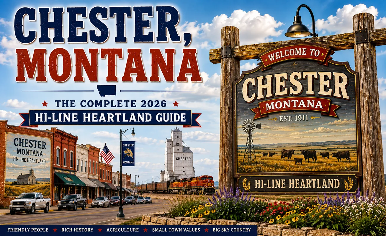
Looking north from Chester on a clear day, three isolated peaks rise from the Canadian border country like mountains that forgot to connect to a range.
Those are the Sweetgrass Hills — East Butte, Gold Butte, and West Butte — and at 7,000 feet, they are the highest isolated peaks in the contiguous United States.
Not the highest mountains, but the highest peaks that stand completely alone, unconnected to any mountain range, rising from the surrounding plains as true geographic outliers.
The Blackfeet people have considered them sacred for centuries. Most travelers on US-2 drive past Chester without knowing any of this.
TL;DR
- Chester (~850) is the county seat of Liberty County on US-2, between Shelby (44 miles west) and Havre (60 miles east) in the Golden Triangle.
- The Sweetgrass Hills — visible north of Chester — are the highest isolated peaks in the contiguous United States at ~7,000 feet, considered sacred by the Blackfeet people.
- Lake Elwell (Tiber Reservoir) is 15 minutes south — one of Montana’s premier walleye fisheries with 17,000+ acres.
- The Liberty Village Arts Center is an unexpected cultural resource for a community of 850.
- 97% of Liberty County’s economy is agricultural — one of the most agricultural counties in Montana.
- Best for: Sweetgrass Hills scenery, Lake Elwell walleye fishing, Hi-Line authentic character, and Golden Triangle agricultural heritage.
Liked this article?
Add Roaming Montana as a preferred source so you see more of our articles and guides on Google.
Chester at a Glance
| Population (2020) | ~850 |
|---|---|
| County | Liberty County (county seat) |
| Region | North-Central Montana (Hi-Line / Golden Triangle) |
| Elevation | 3,130 ft |
| Distance to Shelby | ~44 miles west (~50 min) |
| Distance to Havre | ~60 miles east (~1 hour) |
| Distance to Lake Elwell | ~15 miles south (~20 min) |
| Distance to Sweetgrass Hills | ~35 miles north |
| Best for | Sweetgrass Hills scenery, Lake Elwell walleye fishing, Hi-Line agricultural heritage |
What Makes Chester Different
Liberty County is defined by a single statistic: 97% of its economy is supported by agriculture. With an average farm size of 3,140 acres, Chester serves a rural county that produces wheat, barley, pulses, mustard, and cattle across 913,000 cultivated acres. It is one of the most purely agricultural counties in Montana — the Golden Triangle at its most concentrated.
The Sweetgrass Hills are the geographic revelation that most travelers miss. These three volcanic buttes — formed by igneous intrusion into the surrounding sedimentary plains — rise to approximately 7,000 feet and stand completely isolated from any mountain range.
Gold Butte, named for its gold mining history, is the highest. Tipi rings, multi-room caves, and buffalo jumps have been found throughout the hills, reflecting thousands of years of Blackfeet use. The hills are considered sacred by the Blackfeet Nation.
Lake Elwell (Tiber Reservoir) — formed by the Tiber Dam on the Marias River in the 1950s — provides 17,000+ acres of water recreation just 15 minutes south. The reservoir is one of Montana’s top walleye fisheries.
The Liberty Village Arts Center is Chester’s surprise: a genuine performing and visual arts center serving the Hi-Line community with gallery shows, workshops, and performances — a cultural resource unusual for a town of 850.
For broader trip context, see my Montana cities and towns hub.
The Top 10 Things to Do In & Around Chester
1. View the Sweetgrass Hills (35 miles north)
Drive north from Chester toward Whitlash and the Canadian border. The Sweetgrass Hills grow from small bumps on the horizon to substantial peaks as you approach.
They are sacred Blackfeet land — access to the hills themselves is mostly private; viewing from county roads. Gold Butte (the highest) was mined in the late 1800s. The visual experience of watching these isolated mountains emerge from perfectly flat wheat country is extraordinary.
2. Fish Lake Elwell (Tiber Reservoir)
Montana’s premier walleye fishery — 17,000+ acres with five boat ramps and several campgrounds. Northern pike, lake trout, rainbow trout, and perch also present. The reservoir was created in the mid-1950s to control Marias River flooding and provide irrigation water for the Chester area.
3. Liberty County Museum
Regional history museum in Chester covering the homestead era, agricultural development, and Hi-Line community life. Chester was incorporated in 1913; the county’s agricultural history goes back to the 1910s homestead wave.
4. Liberty Village Arts Center
Gallery shows, performing arts events, workshops, and a gift shop featuring local artists. One of the most active arts centers per capita on the Hi-Line — a genuine cultural community resource.
5. Hi-Line Harvest Festival (August)
A community festival celebrating agriculture and Hi-Line identity — bringing together rural communities across the Hi-Line corridor.
6. Awesome Autos (Chester)
A vintage automobile collection in Chester — more classic cars than most people expect in a community this size.
7. Hutterite Colony Visits
Liberty County has four Hutterite colonies in the county and two nearby — large-scale agricultural operations with hog, poultry, and vegetable production. Some colonies sell goods to the public. The Hutterite culture — a communal Anabaptist tradition dating to 16th-century Austria — is an integral part of Liberty County’s agricultural character.
8. Marias River Corridor
The Marias River flows south of Chester toward the Tiber Dam — historical Lewis and Clark significance (the Marias River camp, June 1805) and fishing access for catfish, pike, and some walleye.
9. Whitlash (35 miles north near Canada)
A tiny border community just miles from the Canadian border — the closest incorporated community to the Sweetgrass Hills. The end-of-the-road feeling is genuine.
10. Chester Golf Course
A 9-hole community course — affordable prairie golf with mountain views on clear days.
Where to Stay
| Hotel | Vibe | Price | Best For |
|---|---|---|---|
| Chester Motel | Local, basic | $85–130 | Most travelers |
| Hi-Way Motel | Budget | $75–110 | Budget |
| Lake Elwell campgrounds | 5 sites near reservoir | $15–30 | Anglers, campers |
| Shelby (44 min west) | Chain options | $110–170 | More variety |
Where to Eat
- Spud’s Café — Chester’s main dining institution; hearty meals for agricultural workers and travelers
- Chester Bar — community gathering place, casual meals
- Pizza Palace — local option
Getting There
From Shelby: 44 miles east on US-2, about 50 minutes.
From Havre: 60 miles west on US-2, about 1 hour.
From Great Falls: ~105 miles north via I-15 and US-2, about 1.75 hours.
When to Visit
Summer (June–August): Lake Elwell at full recreation season; Liberty Arts Center programming; Hi-Line Harvest Festival in August.
Fall (September–October): Best walleye fishing at Lake Elwell; wheat harvest visible across the county.
Year-round: Chester functions as a working agricultural service town in all seasons.
Personal Tips
Look for the Sweetgrass Hills from US-2. Even from the highway, the three buttes are visible on the northern horizon on clear days. They look small at distance — the surprise is how large and isolated they become as you drive toward Whitlash.
Lake Elwell early morning for walleye. Walleye are crepuscular — dawn and dusk fishing dramatically outproduces midday. The reservoir’s walleye population is consistent and well-managed.
Liberty Village Arts Center is worth a stop. It’s genuinely unusual to find this level of arts programming in a Hi-Line town of 850 people. The local artist gift shop alone is worth browsing.
The Hutterite colony context matters. You’ll see large-scale colony operations driving the county roads — understanding that these are Anabaptist communities with 500-year-old European roots makes the landscape more interesting.
Chester Quick Facts
| Founded | 1913 (incorporated) | | Liberty County | Created 1920; 97% agricultural economy | | Sweetgrass Hills | Highest isolated peaks in contiguous US (~7,000 ft) | | Lake Elwell | 17,000+ acres; 5 boat ramps | | Average summer high | 82°F | | Average winter low | 2°F |
Conclusion
Chester rewards Hi-Line travelers who stop deliberately. The Sweetgrass Hills are one of the most distinctive geographic features in northern Montana — sacred to the Blackfeet, startling in their isolation, and almost completely unknown to out-of-state travelers. Lake Elwell is a serious walleye fishery. And the Liberty Village Arts Center is the Hi-Line’s most pleasant surprise.
Have a Chester question? Drop it in the comments — I read every one.
Frequently Asked Questions
Is Chester Montana worth visiting?
Yes — Chester is worth a Hi-Line stop for the Sweetgrass Hills (visible north of town — the highest isolated peaks in the contiguous US, sacred to the Blackfeet), Lake Elwell walleye fishing (one of Montana’s premier fisheries, 15 minutes south), and the Liberty Village Arts Center. As a US-2 community between Shelby and Havre, it’s one of the more substantive stops on the Hi-Line.
What are the Sweetgrass Hills near Chester Montana?
The Sweetgrass Hills are three isolated volcanic peaks — East Butte, Gold Butte, and West Butte — approximately 35 miles north of Chester near the Canadian border. At approximately 7,000 feet, they are the highest isolated peaks in the contiguous United States, completely unconnected to any mountain range. Sacred to the Blackfeet Nation, with documented tipi rings, caves, and buffalo jumps throughout the hills. Gold Butte was mined for gold in the late 1800s.
What is Lake Elwell near Chester Montana?
Lake Elwell (also called Tiber Reservoir) is a 17,000+ acre reservoir on the Marias River, created by Tiber Dam in the 1950s, approximately 15 miles south of Chester. The reservoir is one of Montana’s premier walleye fisheries and also holds northern pike, lake trout, rainbow trout, and perch. Five boat ramps and several campgrounds provide recreation access.