The first Phillips County Fair was held in Dodson in October 1916.
It has run every year since.
That makes the Phillips County Fair — held annually on the fairgrounds at the northern edge of tiny Dodson, Montana — the longest continuously-operating county fair in the state of Montana.
The fair grew out of an even earlier Great Northern Railway-supported annual agricultural showcase that began in 1891. When Phillips County was carved out of Blaine County in 1915, the new commissioners took over the agricultural fair and made it an official county event.
October 1916 was the inaugural year as a county fair. The continuous operation since then has not been interrupted by the Great Depression, two World Wars, the farm crisis of the 1980s, or any of the other events that have closed fairs in other Montana counties.
The reason the fairgrounds is in Dodson rather than the county seat of Malta deserves an explanation.
Dodson sits in the Milk River Valley at the heart of the Milk River Project — the early-20th-century federal irrigation project that transformed the Hi-Line from marginal dryland into productive irrigated agriculture. A major diversion dam sits just west of Dodson.
The main project canal — “the ditch,” as locals still call it — runs straight through town, dividing Dodson into two halves.
At the time of the project’s construction in the 1900s and 1910s, Dodson was vital infrastructure. The fairgrounds was located here for the same reason: this was the agricultural heart of Phillips County.
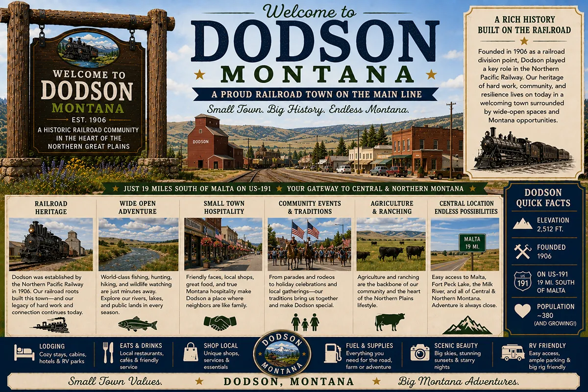
Today Dodson has approximately 100 residents.
The town sits on US Highway 2, about 20 miles east of Malta and 70 miles west of Glasgow. The Great Northern Railway tracks — now BNSF — run on the north side of the highway.
The grain elevators and the fairgrounds anchor the visual character. The 2N Ranch — operated by the Nicholson family for over 100 years — adjoins the fairgrounds on the north and stretches across more than 2,300 acres of Milk River Valley grassland.
TL;DR
- Dodson (~100) is a small Hi-Line community on US-2 in Phillips County, 20 miles east of Malta and 70 miles west of Glasgow.
- The Phillips County Fair — held in Dodson since October 1916 — is Montana’s longest continuously-operating county fair.
- The fair grew out of an earlier Great Northern Railroad-supported agricultural fair dating to 1891.
- The Milk River Project federal irrigation system runs directly through town; the main canal divides Dodson in half.
- A major diversion dam sits just west of town.
- The Fort Belknap Indian Reservation — home of the Aaniih (Gros Ventre) and Nakoda (Assiniboine) tribes — is approximately 15 miles south.
- The 2N Ranch, operated by the Nicholson family for over 100 years, adjoins Dodson on the north.
- Best for: Phillips County Fair attendees, Hi-Line travelers, Milk River Project history, Fort Belknap day trips.
Liked this article?
Add Roaming Montana as a preferred source so you see more of our articles and guides on Google.
Dodson at a Glance
| Population (estimated) | ~100 |
|---|---|
| County | Phillips County |
| Region | North-Central Montana (Hi-Line, Milk River Valley) |
| Elevation | 2,277 ft |
| Distance to Malta (county seat) | ~20 miles west on US-2 (~25 min) |
| Distance to Glasgow | ~70 miles east |
| Distance to Havre | ~80 miles west |
| Distance to Fort Belknap Agency | ~15 miles south |
| Distance to Little Rocky Mountains | ~30 miles south |
| Phillips County established | 1915 (from Blaine County) |
| Inaugural Phillips County Fair | October 1916 |
| Best for | County fair, Hi-Line stops, Milk River Project history, Fort Belknap day trips |
What Makes Dodson Different
Two pieces of infrastructure define everything about Dodson: the Great Northern Railway tracks and the Milk River Project canal.
The Great Northern came through in the early 1890s as James J. Hill pushed his mainline west toward Seattle. The railroad needed water stops, fuel stops, and shipping points across the broad northern prairie.
Dodson became one of dozens of small Hi-Line communities established along the line — modest in scale but essential to the agricultural shipping economy that the railroad was simultaneously creating.
The Milk River Project came later but transformed the area more dramatically.
The Milk River Project
The U.S. Reclamation Service (now Bureau of Reclamation) began the Milk River Project in 1903 — one of the first major federal irrigation projects authorized under the 1902 Newlands Reclamation Act.
The engineering challenge was significant. The Milk River drains from northwestern Montana, loops north into Canada, and re-enters the United States in Phillips County before continuing east to the Missouri.
The project required diversion dams, an extensive canal system, and the construction of Fresno Reservoir near Havre to store water for the irrigation district.
The project was substantially complete by 1939. It eventually irrigated approximately 121,000 acres across Hill, Blaine, and Phillips counties — fundamentally changing the agricultural economics of the Hi-Line.
Dodson was strategically positioned along the project. The main canal — “the ditch” — runs through the heart of town, dividing it into north and south halves. A major diversion dam sits just west of Dodson.
The North Dodson Irrigation District operates the local distribution system. Many of the area ranches — including the historic 2N Ranch — depend on Milk River Project water for forage production.
The Phillips County Fair
The fair grew out of the earlier Great Northern Railroad-supported agricultural fair tradition.
By 1891, the Great Northern was actively promoting Hi-Line agricultural production as part of its broader settlement strategy.
The annual fairs were meant as demonstrations that the demanding northern prairie could produce valuable agricultural commodities — wheat, livestock, hay, root vegetables — when properly managed.
When Phillips County was created in 1915 by separating from Blaine County, the new commissioners voted to take over the existing agricultural fair and reorganize it as an official county event. October 1916 marked the inaugural Phillips County Fair.
Every year since, the fair has run continuously. That makes 109 consecutive Phillips County Fairs as of 2025. No other Montana county can claim the same continuous record.
The fairgrounds itself — including the original grandstand and exhibit buildings on the north side of the Great Northern tracks — is a historically significant landscape that has received increasing attention from Montana preservation researchers.
Fort Belknap Connection
Dodson sits at the northern edge of the historical and contemporary territory of the Aaniih (Gros Ventre) and Nakoda (Assiniboine) peoples.
The Fort Belknap Indian Reservation, established by treaty in 1888, is located about 15 miles south of Dodson, with its agency headquarters at Fort Belknap Agency.
The reservation covers approximately 675,000 acres between the Milk River and the Little Rocky Mountains.
Guided tours from Fort Belknap to Snake Butte, Mission Canyon, and Bear Gulch provide some of the most substantive Indigenous cultural experiences available in north-central Montana.
For broader trip context, see my Montana cities and towns hub.
The Top 6 Things to Do In & Around Dodson
1. Phillips County Fair
The signature annual event — held every year since October 1916.
Typically held in late July or early August. Livestock shows, agricultural exhibits, rodeo events, carnival, food vendors, and the kind of authentic small-town county fair experience that’s increasingly rare in the American West. Verify current dates with Phillips County.
2. Milk River Project Diversion Dam
The major diversion dam just west of Dodson is a working piece of Bureau of Reclamation infrastructure that has shaped Hi-Line agriculture for more than a century. Brief stop; viewing from public access points only.
3. Fort Belknap Indian Reservation Tours
Guided cultural tours from Fort Belknap Agency (~15 miles south) to Snake Butte, Mission Canyon, and Bear Gulch. These tours provide context for the contemporary Aaniih and Nakoda communities and access to landscapes that are otherwise restricted to non-tribal members.
Verify availability with Fort Belknap tourism office before traveling.
4. Little Rocky Mountains Day Trip
The isolated mountain range south of the Hi-Line rises dramatically out of the prairie about 30 miles south of Dodson. Hiking, hunting (with proper permits), and scenic driving. The mountains include both reservation land and Bureau of Land Management property — access varies by ownership.
5. Day Trip to Malta (25 min west)
The Phillips County seat with the Phillips County Museum, the H. Earl Clack Memorial Museum, and additional services. Malta is the practical urban anchor for the eastern Hi-Line.
6. US-2 Hi-Line Drive
Dodson is roughly midway along Montana’s Hi-Line corridor — US Highway 2 between Bainville on the North Dakota border and Browning/West Glacier in the west. The full Hi-Line drive is one of America’s classic cross-state routes.
Where to Stay
Dodson has no dedicated lodging. Most travelers base in Malta (25 min west) or Glasgow (1.5 hours east).
| Lodging | Vibe | Price | Best For |
|---|---|---|---|
| Malta motels (25 min W) | Hi-Line lodging | $90–160 | Most travelers |
| Fort Belknap Casino lodging (south) | Reservation hospitality | $90–140 | Cultural visitors |
| Glasgow hotels (1.5 hrs E) | Larger town options | $100–180 | East Hi-Line base |
| Vacation rentals (Milk River Valley) | Ranch and farm stays | $130–250 | Hunters, longer stays |
Where to Eat
- Dodson Bar & Grill — local community gathering spot; verify current hours
- Malta dining (25 min W) — Hi-Line restaurant variety
- Glasgow restaurants (1.5 hrs E) — broader selection
- Fort Belknap Casino restaurant — available with casino visit
Getting There & Around
From Malta: 20 miles east on US-2, about 25 minutes.
From Glasgow: 70 miles west on US-2, about 1.25 hours.
From Havre: 80 miles east on US-2, about 1.5 hours.
From Wolf Point: ~120 miles east on US-2, about 2 hours.
Cell service: Generally available in Dodson and along US-2. Limited on surrounding ranch roads and at the reservation backcountry sites.
When to Visit
Late July through early August: Phillips County Fair — the year’s signature event. Verify current dates with the fair organization.
Summer (June-August): Best Hi-Line driving conditions; warmest weather; surrounding agriculture at peak.
Fall (September-October): Outstanding fall light on the prairie; hunting season; harvest activity.
Winter (November-March): Severe Hi-Line weather possible. Travel only with proper preparation; temperatures can drop below -30°F.
Spring (April-May): Milk River runoff and irrigation season begins; quieter shoulder season.
Personal Tips
Time a visit for the Phillips County Fair. The fair is genuinely the reason to come to Dodson. The continuous operation since 1916 makes it a substantively meaningful piece of Montana cultural heritage.
Don’t expect tourist amenities. Dodson is a working community. Plan around the fair, the surrounding agricultural infrastructure, and the broader Hi-Line drive context. Tourism services are minimal.
Book Fort Belknap tours in advance. The reservation tour programs operate on limited schedules. Contact the tourism office well before your visit, particularly for summer dates.
Combine with the Little Rocky Mountains. Travelers willing to detour south can access genuinely scenic and uncrowded mountain country. Mission Canyon area is particularly substantive.
Bring full supplies. Hi-Line services are spaced out. Fuel up in Malta or Havre before extended travel. Carry water and snacks.
Dodson Quick Facts
| Population (estimated) | ~100 | | Phillips County established | 1915 (from Blaine County) | | Earlier agricultural fair began | 1891 (Great Northern-supported) | | First Phillips County Fair | October 1916 | | Fair status | Montana’s longest continuously-operating county fair | | Milk River Project authorized | 1903 | | Project substantially complete | 1939 | | Project irrigated acreage | ~121,000 acres | | Diversion dam location | Just west of Dodson | | Fort Belknap Indian Reservation | Established 1888 | | Reservation tribes | Aaniih (Gros Ventre) and Nakoda (Assiniboine) | | 2N Ranch (Nicholson family) | Operating 100+ years | | Average summer high | 84°F | | Average winter low | -6°F |
Conclusion
Dodson is a 100-person Hi-Line community with two genuinely substantive pieces of regional heritage: Montana’s longest continuously-operating county fair and the working infrastructure of one of the earliest federal irrigation projects in the American West.
The Phillips County Fair has run every year since October 1916. The Milk River Project canal still divides the town in half. The 2N Ranch still produces forage with project water. The Fort Belknap Indian Reservation is 15 miles south.
Most Hi-Line travelers drive past Dodson without slowing down. The next time you’re driving US-2 between Malta and Glasgow, at least know what you’re looking at.
Have a Dodson question? Drop it in the comments — I read every one.
Frequently Asked Questions
Is Dodson Montana worth visiting?
Dodson is worth a visit primarily for the Phillips County Fair (Montana’s longest continuously-operating county fair, held every year since October 1916), the Milk River Project irrigation heritage that defines the local landscape, and as a stop on the broader US-2 Hi-Line cross-state drive between Malta and Glasgow. It is not a traditional tourism destination.
What is the Phillips County Fair?
The Phillips County Fair is an annual county agricultural fair held at the fairgrounds on the north side of Dodson, Montana. The fair was inaugurated in October 1916, the year after Phillips County was created by separating from Blaine County, and grew out of an earlier Great Northern Railroad-supported annual agricultural fair dating to 1891. The fair has run continuously every year since 1916 — the longest continuous operation of any county fair in Montana. The fair typically occurs in late July or early August and features livestock shows, agricultural exhibits, rodeo events, carnival rides, and food vendors.
What is the Milk River Project?
The Milk River Project is a federal irrigation project administered by the U.S. Bureau of Reclamation. Authorized in 1903 under the 1902 Newlands Reclamation Act and substantially completed by 1939, the project irrigates approximately 121,000 acres of agricultural land across Hill, Blaine, and Phillips counties along the Hi-Line of north-central Montana. The project includes Fresno Reservoir, multiple diversion dams (including a major dam just west of Dodson), and an extensive canal system. The main canal — locally called “the ditch” — runs directly through Dodson, dividing the town into north and south halves.
How far is Dodson from Malta Montana?
What is the Fort Belknap Indian Reservation?
The Fort Belknap Indian Reservation is a federal Indian reservation located approximately 15 miles south of Dodson, Montana. Established by treaty in 1888, the reservation covers approximately 675,000 acres between the Milk River and the Little Rocky Mountains. It is home to the Aaniih (also called Gros Ventre) and Nakoda (Assiniboine) peoples. The Fort Belknap tribal tourism office offers guided cultural tours to Snake Butte, Mission Canyon, Bear Gulch, and other significant sites on the reservation.
How big is Dodson Montana?
Dodson has approximately 100 year-round residents. The community covers a small footprint on either side of the Milk River Project main canal in Phillips County, Montana.