Montana Highway 200 is one of the least-traveled major highways in the American West. It runs 350+ miles from near Great Falls all the way to Glendive, crossing the entire breadth of central and eastern Montana through Lewistown, Roundup, the Musselshell Valley, and eventually the rolling badlands and ranch country of eastern Dawson County.
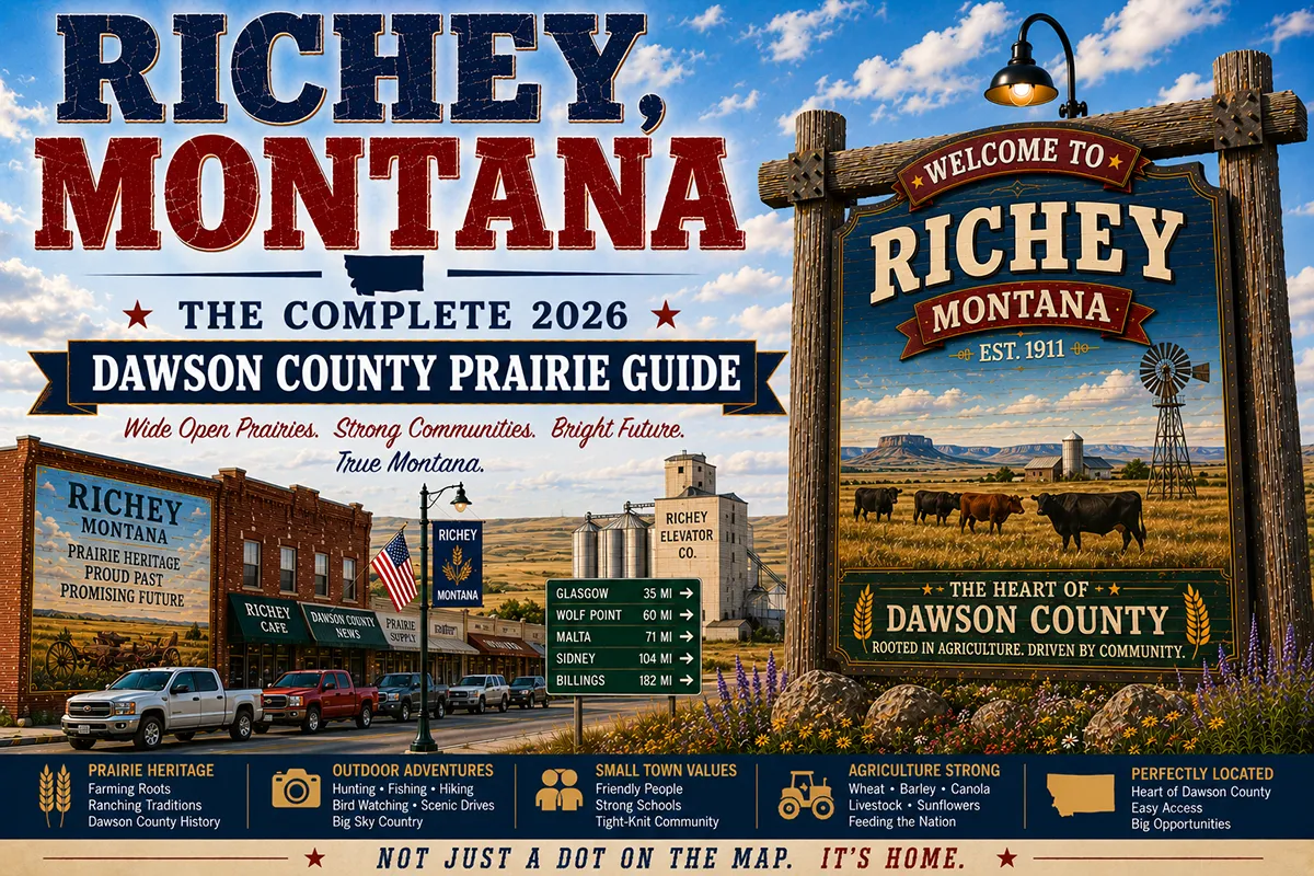
Richey sits 50 miles north of Glendive on this highway — the only real service stop between the county seat and the communities of McCone and Garfield counties to the west.
Most travelers who make the MT-200 drive are doing it deliberately. They’ve chosen this route because they want eastern Montana’s undiluted character — the vast rangeland, the absence of interstate infrastructure, the authentic small communities at 50-mile intervals, and the geological landscape of the Hell Creek Formation that runs through Dawson County’s northern reaches.
Richey is where you stop for fuel and a meal on the northern part of that drive, and where Brorson Lake provides an unexpected recreational option that most people on MT-200 don’t know is available.
Richey was named for Louis J. Richey, an investor in the original townsite development when a railroad spur was being routed through northern Dawson County in the 1910s.
The community grew as a service center for the surrounding dry-land wheat and cattle operations, reached a modest peak in the mid-20th century, and has since contracted to about 145 people — the right size for the agricultural community it serves.
TL;DR
- Richey (~145) is a Dawson County community on MT-200, 50 miles north of Glendive and 60 miles east of Jordan.
- On the MT-200 corridor — one of Montana’s most remote and genuinely cross-state highway experiences.
- Brorson Lake provides walleye, perch, and northern pike fishing plus waterfowl habitat in a quiet, undeveloped setting.
- The surrounding landscape is Hell Creek Formation country — the same Cretaceous geology that produced T. rex and Triceratops fossils near Jordan.
- Best for: MT-200 corridor travelers, eastern Montana road trip completers, Brorson Lake anglers, and Jordan/Hell Creek gateway visitors.
Liked this article?
Add Roaming Montana as a preferred source so you see more of our articles and guides on Google.
Richey at a Glance
| Population (2020) | ~145 |
|---|---|
| County | Dawson County |
| Region | East-Central Montana |
| Elevation | 2,638 ft |
| Distance to Glendive | ~50 miles south (~1 hour on MT-200) |
| Distance to Jordan | ~60 miles west (~1.25 hours) |
| Distance to Circle | ~50 miles west (~55 min) |
| Distance to Miles City | ~90 miles southwest (~1.5 hours) |
| Best for | MT-200 corridor, Brorson Lake, Hell Creek geology, Jordan gateway |
What Makes Richey Different
Dawson County’s northern section is geological country as much as it is agricultural country. The Hell Creek Formation — the late Cretaceous sedimentary layer deposited 66–68 million years ago, right at the K-Pg boundary that marks the mass extinction event — runs through the landscape around Richey and extends west through Garfield County toward Jordan, where it has produced more complete T. rex skeletons than anywhere else on Earth.
This doesn’t mean Richey is a dinosaur destination in the way Jordan or Glendive are — the exposed fossil-bearing badlands are more pronounced further west near Jordan and further south near Glendive’s Makoshika State Park.
But the underlying geology is the same. Roadcuts along MT-200 near Richey expose layered sedimentary sequences; hillsides in the northern Dawson County breaks show the tan and gray color banding characteristic of Hell Creek material. For geologically aware travelers, the landscape has a specific resonance.
Brorson Lake is Richey’s recreational asset — a natural prairie lake west of town that provides walleye, perch, and northern pike fishing in an undeveloped setting.
The lake doesn’t appear in most travel guides; it’s not a state park or recreation area; it has no boat rental or interpretive center. It’s simply a prairie lake with fish in it, accessible from county roads, used by local anglers for generations.
The MT-200 corridor itself is the most significant reason to know Richey. For travelers making the cross-state drive, Richey is the fuel-and-food stop that keeps the route viable.
The nearest alternatives — Glendive to the south, Circle to the west — are 50+ miles in either direction. Richey’s bar, café, and fuel station are not optional conveniences on this stretch of highway; they’re essential.
For broader trip context, see my Montana cities and towns hub.
The Top 10 Things to Do In & Around Richey
1. Fish Brorson Lake
The lake west of Richey holds walleye, perch, and northern pike. Access is via county roads west of town — no formal signage, no developed boat launch, no rental facilities. Small boats can be launched from natural shore access points.
The lake’s walleye are the primary draw; they’re most active in spring (April–May) when water temperatures are rising and fish move into shallower areas, and again in fall (September–October). Pike are present year-round and are aggressive in cooler water.
For ice fishing in winter, Brorson Lake is a local tradition — perch and pike are the primary winter species. Check ice thickness carefully; the lake’s depth variation means some sections freeze more reliably than others.
Montana fishing license required. No special regulations beyond standard statewide rules for these species.
2. Waterfowl Hunting at Brorson Lake (Fall)
The lake and surrounding wetland fringe provide duck and goose hunting from September through November. The lake’s relatively shallow margins and emergent vegetation make it suitable for decoy setups targeting mallards, teal, and diving ducks during fall migration. Contact Montana FWP for current season dates, bag limits, and access provisions.
3. Drive MT-200 West to Jordan (1.25 hours)
The stretch of MT-200 from Richey west to Jordan passes through the northern Dawson County and Garfield County landscape where the Hell Creek Formation geology becomes increasingly prominent.
The terrain shifts from relatively gentle rolling wheat country near Richey to the harder badlands character near Jordan — eroded hillsides, gumbo clay cuts, and the scoria-tinted breaks country that signals proximity to the Hell Creek fossil beds. The drive is genuinely scenic and increasingly remote.
4. Day Trip to Jordan (60 miles west)
Jordan is the most remote county seat in the lower 48 United States, with the richest T. rex fossil territory in the world. The Garfield County Museum has actual Hell Creek fossil material including T. rex bones, and Hell Creek State Park on Fort Peck Reservoir provides access to representative badlands terrain. See Jordan guide.
5. Day Trip to Glendive (50 miles south)
Makoshika State Park — Montana’s largest state park, with 11,000+ acres of dramatic badlands and significant dinosaur fossil history — is 50 miles south in Glendive. The park’s trails access some of the most visually dramatic badlands in Montana. The Frontier Gateway Museum in Glendive has strong dinosaur exhibits. See Glendive guide.
6. Day Trip to Circle (50 miles west)
McCone County Museum and Fort Peck Reservoir eastern arm access. Circle is the county seat of McCone County and the service center for the region between Richey and Jordan. See Circle guide.
7. Hell Creek Formation Geology Observation
The geological layers visible in roadcuts along MT-200 near Richey include portions of the Hell Creek Formation — the same Cretaceous sediment that preserves the world’s most significant T. rex and Triceratops fossils near Jordan.
While most exposed material near Richey is overburden or equivalent non-fossiliferous layers, the geological context is genuine and visible. Note: fossil collection on any land without landowner permission and appropriate permits is illegal. Look, photograph, don’t remove.
8. Eastern Montana Ranch Country Drives
County roads north and south of MT-200 near Richey pass through classic eastern Montana ranch and dry-farm country.
White-tailed deer are common in the creek bottoms; mule deer use the breaks and upland areas; pronghorn antelope are visible on the more open rangeland. Raptors — ferruginous hawks, Swainson’s hawks, golden eagles in fall — are regularly seen from the highway.
9. Prairie Stargazing
Dawson County’s northern interior is far from any urban light source. The town of Richey produces negligible light pollution, and county roads outside town provide open sky in all directions.
New moon nights in the northern Montana interior produce Milky Way displays that are difficult to find east of the Rocky Mountains. August and September have the best combination of warmth and clarity.
10. Eastern Montana Dinosaur Trail Context
Richey sits within the broader context of the Montana Dinosaur Trail — a statewide network of museums and fossil sites connecting the Hell Creek Formation deposits of eastern Montana. Combining Richey as a service stop with Jordan (Garfield County Museum, Hell Creek State Park), Glendive (Makoshika State Park, Frontier Gateway Museum), and Circle (McCone County Museum) creates a meaningful dinosaur country circuit.
Where to Stay
Richey has no dedicated lodging. Glendive and Circle are the practical overnight bases for travelers in this area.
| Hotel | Vibe | Price | Best For |
|---|---|---|---|
| Glendive hotels (1 hour south) | Full selection | $100–200 | Most travelers |
| Circle motels (55 min west) | Basic local | $85–130 | Jordan focus |
| Jordan lodging (1.25 hours west) | Very limited | $80–120 | Hell Creek proximity |
| Miles City (1.5 hours southwest) | Full range | $100–190 | More variety |
Where to Eat
- Richey Bar — the community gathering place; bar food and the local social center for this stretch of MT-200
- Richey Café — breakfast and lunch when open; call ahead to confirm hours
- Glendive (1 hour south) — full restaurant variety including chain options
- Circle (55 min west) — Wooden Nickel Restaurant
Getting There & Around
From Glendive: 50 miles north on MT-200, about 1 hour through Dawson County ranch and wheat country.
From Circle: 50 miles east on MT-200, about 55 minutes.
From Jordan: 60 miles east on MT-200, about 1.25 hours.
From Miles City: ~90 miles northeast, about 1.5 hours via various routes.
For Brorson Lake: Ask locally — there is no formal signage. County roads west of town lead to the lake.
Cell service: Limited on MT-200 between communities. Download offline maps; carry emergency supplies on this stretch of highway.
What Richey Unlocks
Jordan & Hell Creek Formation (1.25 hours west)
T. rex country — the Garfield County Museum and Hell Creek State Park. See Jordan guide.
Glendive & Makoshika State Park (1 hour south)
Montana’s largest state park, badlands, dinosaur fossils. See Glendive guide.
Circle & McCone County Museum (55 min west)
Fort Peck Reservoir eastern arm access. See Circle guide.
The Full MT-200 Cross-State Drive
Richey is the northern Dawson County chapter of the full Great Falls–Glendive MT-200 corridor — one of Montana’s most rewarding and least-traveled cross-state drives.
When to Visit
Summer (June–August): Full MT-200 access; Brorson Lake fishing; Jordan and Glendive destinations fully open; active paleontology field season near Jordan.
Spring (April–May): Best Brorson Lake walleye fishing; spring wildflowers on the prairie; MT-200 in best condition after winter.
Fall (September–October): Waterfowl hunting at Brorson Lake; mule deer and pronghorn hunting season; fall paleontology dig season winding down in Jordan area; excellent photography light.
Winter: MT-200 is maintained but can close during significant snowstorms. Ice fishing on Brorson Lake is a local tradition. Not recommended for casual visitors without winter experience.
Personal Tips
Fuel in Richey if heading west on MT-200. The next reliable fuel west is Circle (50 miles) or potentially Jordan (60 miles). Don’t assume the stations you see on maps are open — call ahead or fill in Richey.
Brorson Lake requires local directions. Ask at the Richey Bar — the locals know the current access road status and can tell you where fish are being caught.
The MT-200 drive is best done slowly. This is not an efficient cross-state route; it’s a deliberate exploration route. Pull off on county roads, stop at the communities, and let the landscape register at its own pace.
Jordan is worth the full detour. If you’re on MT-200 near Richey, Jordan is 60 miles west — add it to the itinerary. The most remote county seat in the lower 48 United States, with the most productive T. rex fossil formation on Earth. See Jordan guide.
Combine Richey with both ends. Glendive (Makoshika State Park) to the south and Jordan (Hell Creek) to the west create a natural dinosaur country day — Richey as the midpoint service stop and Brorson Lake as the morning or evening fishing option.
Richey Quick Facts
| Founded | ~1913 (railroad spur era) |
|---|---|
| Named for | Louis J. Richey, townsite investor |
| Geological context | Hell Creek Formation runs through northern Dawson County |
| Brorson Lake | Walleye, perch, northern pike; no developed facilities |
| MT-200 | 350+ mile cross-state highway; Great Falls to Glendive |
| Average summer high | 87°F |
| Average winter low | -3°F |
Conclusion
Richey is the honest midpoint of an honest road. MT-200 doesn’t pretend to be fast or scenic in the way the interstate is scenic — it’s simply the way across central and eastern Montana for people who want to see Montana rather than drive through it.
Richey provides fuel, food, and Brorson Lake for the people making that drive. Jordan’s T. rex country is an hour west; Glendive’s Makoshika is an hour south. Richey is where you pause between the famous places and find something quiet and genuine in between.
Have a Richey question? Drop it in the comments — I read every one.
Frequently Asked Questions
Is Richey Montana worth visiting?
Worth a stop as the MT-200 corridor’s northern Dawson County service point, with Brorson Lake fishing as a genuine recreational draw. Jordan’s Hell Creek Formation (60 miles west) and Glendive’s Makoshika State Park (50 miles south) are the region’s primary destinations; Richey connects them on the MT-200 circuit.
What fish are in Brorson Lake near Richey?
Brorson Lake holds walleye, perch, and northern pike. Walleye are most active in spring and fall; northern pike are present year-round; perch provide year-round fishing including ice fishing in winter. Access is via county roads west of Richey with no developed launch or facilities — small boats can be brought in from shore.
How far is Richey from Jordan Montana?
Richey is approximately 60 miles east of Jordan on MT-200 — about a 1.25-hour drive through northern Dawson County and Garfield County landscape. Jordan is often called the most remote county seat in the lower 48 United States and is the gateway to Hell Creek Formation fossil country.
How far is Richey from Glendive Montana?
Richey is approximately 50 miles north of Glendive on MT-200 — about a 1-hour drive. Glendive has Makoshika State Park (Montana’s largest) and the Frontier Gateway Museum with significant dinosaur exhibits.
What is the Hell Creek Formation near Richey?
The Hell Creek Formation is a Cretaceous-era geological layer deposited 66–68 million years ago, running through northern Dawson County and extending west through Garfield County toward Jordan. It’s the same geological formation that has produced more complete T. rex skeletons than anywhere else on Earth. The formation’s characteristic tan and gray banded hillsides are visible in roadcuts along MT-200 near Richey.