Here’s something I tell every serious outdoorsperson who visits southwest Montana: the most overlooked public land in the state is right here, and it’s the size of Connecticut and Rhode Island combined.
The Beaverhead-Deerlodge National Forest doesn’t have a famous name. It doesn’t anchor a gateway town that draws crowds. It doesn’t have a scenic byway that shows up on every Montana road trip list — though it should.
What it does have is 3.35 million acres of mountains, rivers, wilderness, and sky, and on a July weekend when Glacier’s parking lots are overflowing and Yellowstone’s geyser boardwalks are shoulder-to-shoulder, I can drive into Beaverhead-Deerlodge and find a campsite by midday with nobody within earshot.
- Beaverhead-Deerlodge is Montana’s largest national forest at approximately 3.35 million acres across eight SW Montana counties.
- Key draws: Pioneer Mountains Scenic Byway, Arctic Grayling fishing in the Big Hole River, Anaconda-Pintler Wilderness, Continental Divide Trail, and 50+ campgrounds.
- It’s dramatically undervisited relative to its size — a major advantage for anyone who values solitude.
- Best gateway towns: Dillon (south), Butte (north), Wisdom and Wise River (for the Big Hole).
The Big Picture: Montana’s Largest National Forest
The Beaverhead-Deerlodge was formed by the 1996 merger of two separate national forests — the Beaverhead and the Deerlodge — and spans eight southwest Montana counties: Beaverhead, Deer Lodge, Granite, Jefferson, Madison, Powell, Silver Bow, and Gallatin.
The forest isn’t a single contiguous block; it’s a patchwork of public land interspersed with private ranches, state lands, and BLM parcels, which gives it a different character than some of Montana’s more geographically unified forests.
At 3.35 million acres, it covers more ground than the entire states of Connecticut and Rhode Island combined.
Its terrain ranges from the high alpine plateaus of the Anaconda-Pintler Wilderness to the open rangelands of the Big Hole Valley, from the Continental Divide’s rocky spine to the gentle Gravelly Range in the south.
Quick Stats:
| Category | Details |
|---|---|
| Total Acreage | ~3.35 million acres |
| Location | 8 counties, SW Montana |
| Wilderness Areas | Anaconda-Pintler, Lee Metcalf (partial) |
| Campgrounds | 50+ |
| Continental Divide Trail | Runs through the forest |
| USFS Main Office | Butte — (406) 683-3900 |
| Best Season | July–September (hiking); June–September (fishing) |
The Landscape: A Forest of Contrasts
I’ve camped in the Beaverhead-Deerlodge in six different drainages and each one felt like a distinct landscape.
The Anaconda-Pintler Wilderness in the northeast section of the forest is the most alpine terrain — a high, rocky landscape of cirque lakes, bare granite peaks reaching over 10,000 feet, and ridgelines that follow the Continental Divide for miles.
The Divide itself passes through the forest, and the Continental Divide National Scenic Trail (CDT) traces much of it, connecting CDT thru-hikers from Canada to Mexico through this often-overlooked section — the same trail that runs through the Helena-Lewis and Clark National Forest to the north.
The Pioneer Mountains form the geographic and visual center of the forest — a compact range that rises steeply from the surrounding valleys and supports some of the best mid-elevation hiking in southwest Montana.
Two distinct groups — East and West Pioneers — offer different characters: the West Pioneers are drier and more open, the East Pioneers more densely forested.
The Big Hole Valley on the forest’s western edge is ranching country par excellence — one of the last places in the American West where you regularly see haystacks in the traditional stacked form, elk sharing meadows with cattle, and mountains on every horizon.
The Pioneer Mountains Scenic Byway
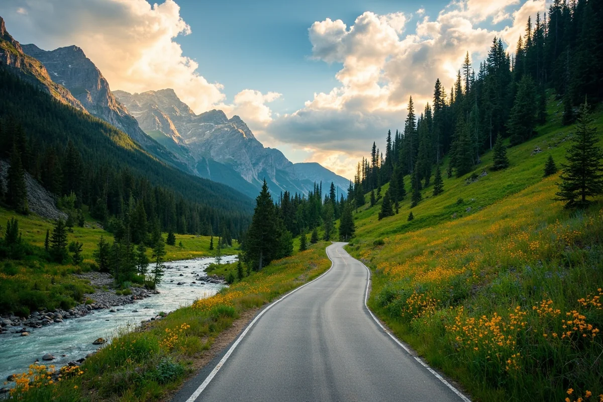
The 45-mile Pioneer Mountains Scenic Byway is the single most compelling reason to drive a few extra hours to reach Beaverhead-Deerlodge.
The byway connects Wise River on the north end to Polaris on the south, looping through the heart of the Pioneer Mountains on a mix of paved and well-maintained gravel road.
I’ve driven it in three seasons: midsummer (wildflowers everywhere, all roads open), early October (aspens turning gold, first dusting of snow on the peaks), and Memorial Day weekend (some sections muddy, a snowbank closing the high point briefly). The October drive edges it for sheer drama.
Along the byway: Elkhorn Hot Springs, the ghost town remnants at Coolidge, the Grasshopper Creek and Miner Basin area, and dozens of informal pullouts where you can simply park and watch the mountains.
There’s almost no traffic by Montana standards — I’ve driven the entire loop without counting more than six other vehicles.
Elkhorn Hot Springs ([verify current hours and rates at elkhornhotsprings.com]) sits near the midpoint of the byway and is one of the more genuine Montana hot springs experiences — outdoor pools, a log lodge, rustic cabins, and a sense of timelessness that the newer, developed hot springs facilities have mostly lost.
Top Trails in the Beaverhead-Deerlodge
Anaconda-Pintler Wilderness Trails
The Anaconda-Pintler Wilderness spans the border between Beaverhead-Deerlodge and Bitterroot National Forests.
Its 158,000 acres contain dozens of cirque lakes, rocky ridgelines, and the Pintler section of the CDT. The Pintler Lake Trail from the Storm Lake Trailhead is one of the more accessible entry points — 9 miles round-trip through classic alpine terrain.
- Difficulty: Moderate-strenuous
- Trailhead access: From Wisdom or Anaconda
Torchlight Peak
One of the Pioneer Mountains’ most rewarding summit hikes. From a trailhead off the Byway, the trail climbs through dense subalpine fir before breaking into an exposed ridge walk to the summit at 10,604 feet. Views take in the Pioneer Mountains in every direction and the Big Hole Valley to the west.
- Distance: ~10 miles out-and-back
- Difficulty: Strenuous
Hollowtop Lake Trail
In the Tobacco Root Mountains on the forest’s eastern edge, the Hollowtop Lake Trail ascends 5 miles to a high lake beneath 10,604-foot Hollowtop Mountain. The wildflower display along this trail in mid-July is one of the best I’ve seen anywhere in southwest Montana.
- Distance: 10 miles out-and-back
- Difficulty: Moderate-strenuous
Gravelly Range Road
This isn’t a hiking trail — it’s a high-clearance vehicle route (usually passable by regular 4WD in summer) that traverses the top of the Gravelly Range along the southern forest boundary.
Drive it at dawn in October and you’ll share the gravel with elk herds moving to winter range. I once counted 340 elk in a single draw from this road.
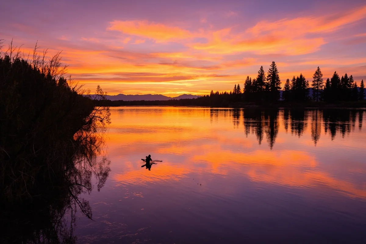
Fishing the Big Hole River: The Arctic Grayling Story
This is why serious anglers make the trip to Beaverhead-Deerlodge.
The Big Hole River, which flows along the western edge of the forest, is one of only two remaining wild populations of fluvial Arctic Grayling in the contiguous United States outside of Yellowstone National Park.
Fluvial grayling — those that live in moving water rather than lakes — were once widespread through the upper Missouri River system. They’re gone from nearly all of it. The Big Hole is their last stand outside the park.
Fishing for grayling here is a privilege with weight to it. The fish are identifiable by their enormous, sail-like dorsal fin, iridescent blue-purple flanks, and a frankly ridiculous willingness to rise to dry flies.
I caught my first fluvial grayling on a size 16 elk hair caddis on a July morning when the valley was still in shadow. I stood in the river for a moment after releasing it, watching it fin back into the current.
Montana FWP manages the grayling with care — check current regulations, as specific sections of the Big Hole may have additional restrictions. The fish are native and wild; handle them with corresponding respect.
The Big Hole also holds brown trout, rainbow trout, mountain whitefish, and in the lower sections, brook trout. The river runs cold and clear from its high headwaters and the fishing is world-class by any measure.
Montana fishing license required. [Verify current regulations and license fees at montanafwp.gov]
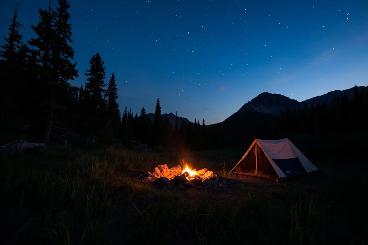
Camping in Beaverhead-Deerlodge National Forest
With 50+ campgrounds spread across eight counties, Beaverhead-Deerlodge offers more camping options than most visitors can use in a week. A representative selection:
| Campground | Fee | Notes |
|---|---|---|
| Dinner Station | ~$12/night | Near Pioneer Mountains; along Wise River |
| Twin Lakes | Free | Primitive; two small fishing lakes |
| Reservoir Lake | Free | High elevation; stunning Pioneer Mountains setting |
| Mussigbrod | Free | Primitive; good trout fishing |
| Grasshopper | ~$8/night | Along Pioneer Mountains Scenic Byway |
| Fleecer Ridge | Free | Dispersed area; good for solitude |
[Verify current fees and conditions at USFS Beaverhead-Deerlodge]
Dispersed camping is allowed throughout most of the forest outside designated campgrounds. The Pioneer Mountains and Gravelly Range areas in particular offer tremendous dispersed camping options accessible by the forest road network.
Wildlife
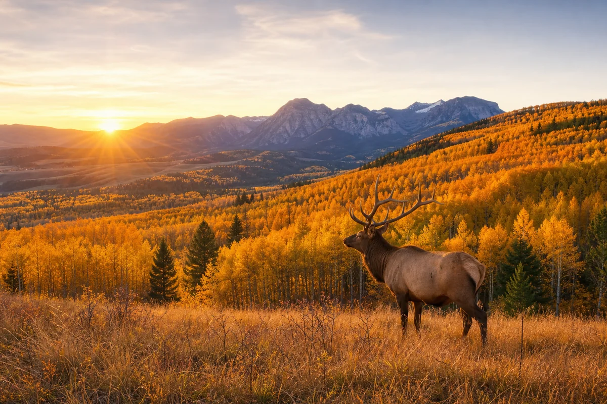
The Beaverhead-Deerlodge is serious elk country. The Big Hole Valley holds wintering elk herds numbering in the thousands, and the forest’s high alpine terrain provides summer range for elk throughout the Anaconda-Pintler and Pioneer Mountains.
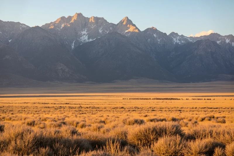
Pronghorn are more visible here than in any other national forest in Montana — the open rangelands and Gravelly Range plateau are classic pronghorn habitat.
I’ve watched groups of 40 or more pronghorn move across the sagebrush flats south of Wisdom at a ground-eating pace that explains why they’re the fastest land animal in North America.
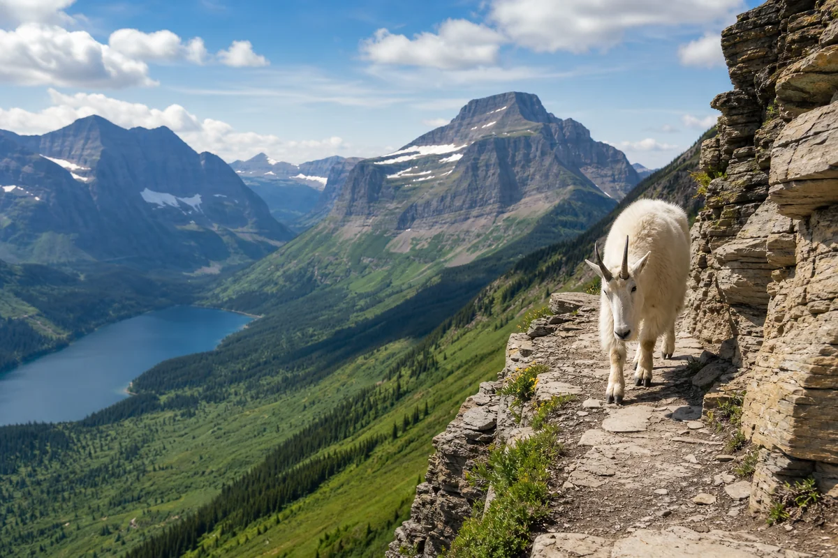
Mule deer and white-tailed deer both occur; mule deer dominate the higher, drier terrain while white-tails concentrate in the creek bottoms and areas of agricultural interface. Mountain goats occupy the highest terrain in the Anaconda-Pintler range.
Grizzly bears are present — increasing so, as populations from both the Greater Yellowstone and Northern Continental Divide Ecosystems expand into the forest. Black bears are common throughout. Carry bear spray in all backcountry areas.
What I Wish I Knew Before My First Beaverhead-Deerlodge Trip
Cell service is genuinely absent in much of this forest. Wisdom, Wise River, and Polaris have minimal to no reliable cell service. Download offline maps, bring a paper topo, and tell someone your plan.
The roads are longer than they look. This forest is enormous and largely served by forest roads. A “20-mile” drive on a gravel road at 20–25 mph is still an hour. Budget extra time for any road navigation.
Respect private land. Much of this forest is a checkerboard of public and private land. The MVUM (Motor Vehicle Use Map) is essential — it shows which roads are public and which aren’t. Trespass issues are taken seriously in these ranch communities.
Practical Info
| Category | Details |
|---|---|
| General access | Free |
| Developed campgrounds | Free–~$15/night [verify] |
| Nearest airports | Butte (BTM), ~45 min; Bozeman (BZN), ~90 min |
| Main gateways | Dillon (south), Butte (north), Wisdom/Wise River (Big Hole) |
| USFS office | Butte — (406) 683-3900 |
| Cell service | Poor to absent in most of the forest |
| Maps | Free MVUM from ranger stations or usfs.usda.gov |
| Best for | Solitude, fishing, elk watching, scenic drives, CDT hiking |
| Not ideal for | First-time backcountry visitors without navigation experience |
FAQs: Beaverhead-Deerlodge National Forest
How big is Beaverhead-Deerlodge National Forest?
Approximately 3.35 million acres, making it the largest national forest in Montana. It spans eight counties in southwest Montana.
Are there grizzly bears in Beaverhead-Deerlodge?
Yes. Both the Greater Yellowstone and Northern Continental Divide grizzly populations are expanding into the forest. Always carry bear spray in backcountry areas.
Is the Pioneer Mountains Scenic Byway paved?
Partially. The northern section from Wise River to the Byway’s high point is paved; the southern section to Polaris is maintained gravel, generally passable by regular vehicles in summer. Check with USFS for current road conditions in spring/early summer.
Can I fish the Big Hole River for Arctic Grayling?
Yes, though specific regulations may apply to protect this rare population. Check current Montana FWP regulations before fishing — special gear restrictions or catch-and-release requirements may be in effect on certain sections.
The Biggest Forest Nobody Talks About
That’s the Beaverhead-Deerlodge in a sentence. Three and a half million acres. The last fluvial Arctic Grayling population in the lower 48 outside of Yellowstone.
A scenic byway that I’ve driven three times without seeing another car on the high section. Fifty-plus campgrounds, the majority of them nearly empty in midsummer.
The visitors who find this forest tend to become its most devoted advocates — people who’ve been coming back to the same canyon on the Pioneer Mountains for fifteen years, who fish the same Big Hole stretch every September, who know where the best dispersed campsite in the Gravelly Range is and won’t tell you specifically but will nod approvingly if you figure it out yourself.
That’s the kind of forest the Beaverhead-Deerlodge is. It keeps its best things just slightly out of reach from casual effort.
Make the drive. Plan the extra day. Read the Montana national forests guide to understand where this forest sits in the full landscape of Montana’s public lands. Then point your rig toward Wise River and see what the fuss is about. There won’t be any fuss. That’s the entire point.
Have questions about the Pioneer Mountains or the Big Hole? Drop them in the comments — or pin this post for your Southwest Montana planning.
Explore the Full Montana National Forests Series
← Back to the Montana national forests guide
Also in this series: