I was standing in Billings last July, watching the thermometer climb past 95°F, when a fellow traveler from Minnesota asked me, “Wait, I thought Montana was supposed to be cold?” That moment captures the surprise most visitors feel when they discover that parts of Big Sky Country can get genuinely hot — and stay relatively mild even through winter.
If you’re planning around weather, understanding Montana’s weather patterns is essential, and knowing where to find the warmest pockets can completely transform your trip.
- “Warmest place in Montana” has three different answers depending on what you mean. Hottest summer days: Glendive, Miles City, Sidney, Plevna (which set Montana’s all-time high of 117°F in 1937). Warmest annual mean temperature: Thompson Falls and Fort Smith. Mildest winters: the Bitterroot Valley and the Chinook wind belt along the Rocky Mountain Front.
- Billings is the warmest large city overall, combining hot summers with relatively mild winters.
- Loma, Montana holds the Guinness World Record for the biggest 24-hour temperature change on Earth — a 103°F rise from -54°F to +49°F on January 15, 1972.
- Best months for reliable warmth statewide: June through early September, with July averaging 85–95°F in the warmest regions.
- For broader climate context, see our Montana weather overview.
Why Some Parts of Montana Are So Much Warmer Than Others
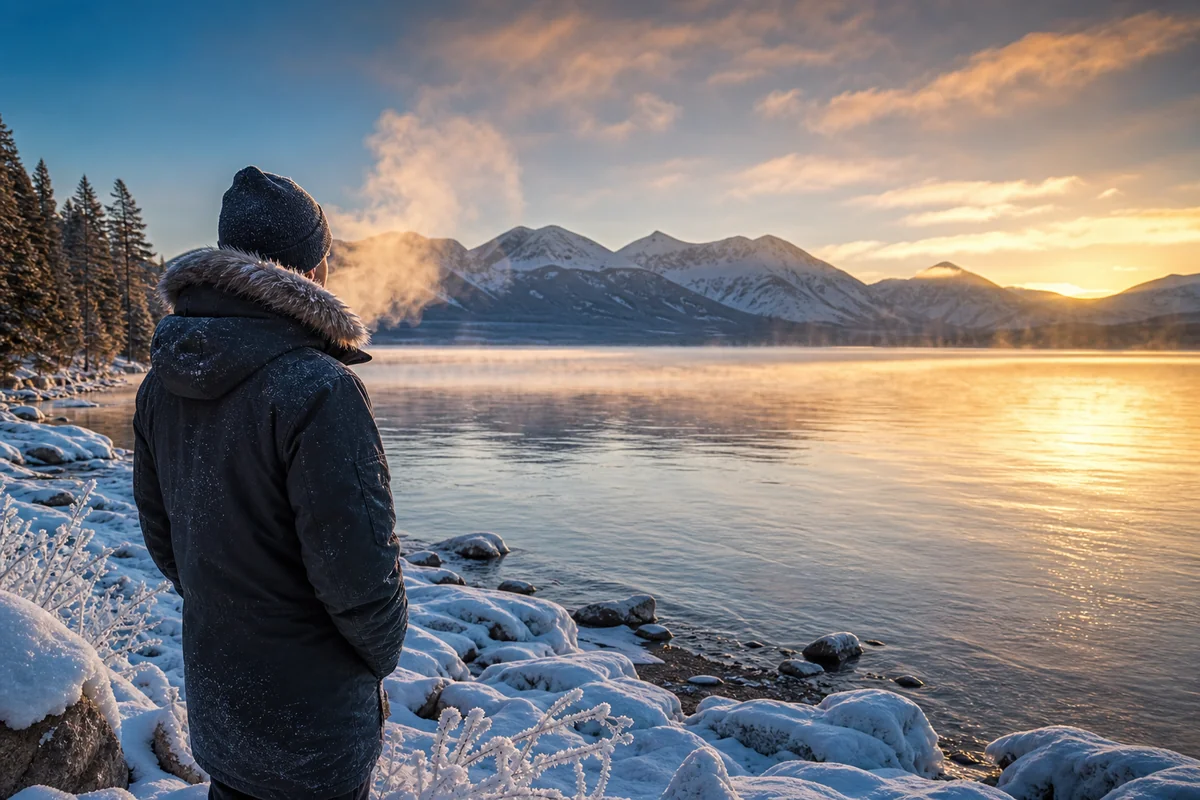
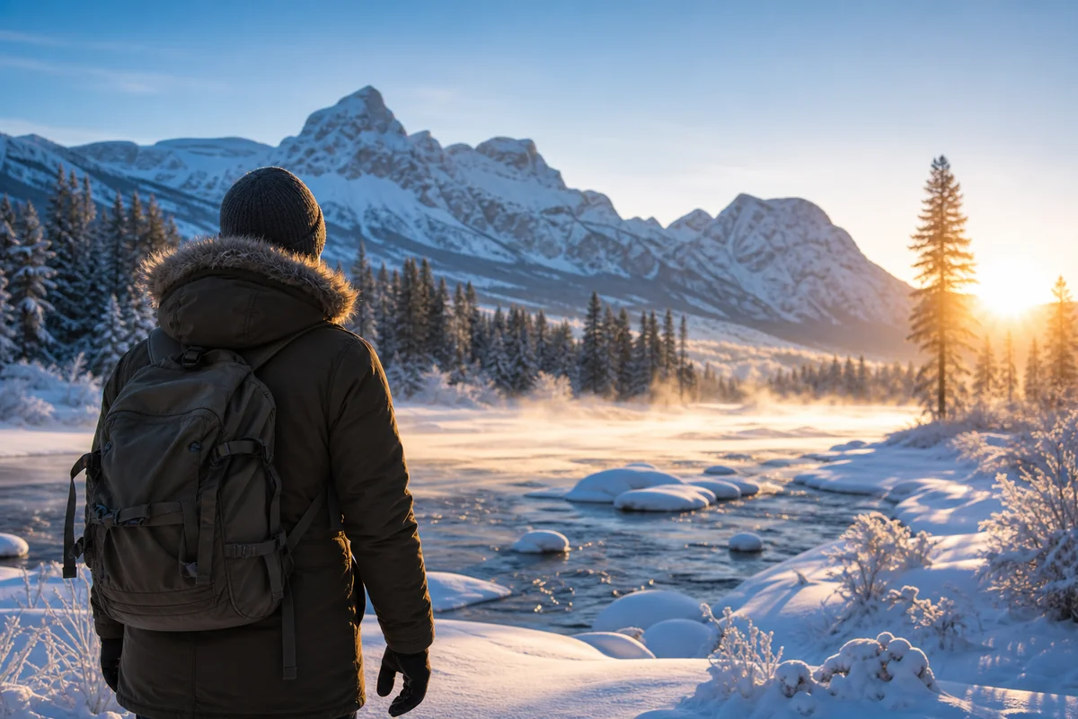
Most people picture Montana as a frozen wilderness, and that reputation isn’t entirely undeserved — the state holds the record for the coldest temperature ever recorded in the contiguous United States: -70°F at Rogers Pass on January 20, 1954. See our how cold does it get in Montana guide for the full cold story.
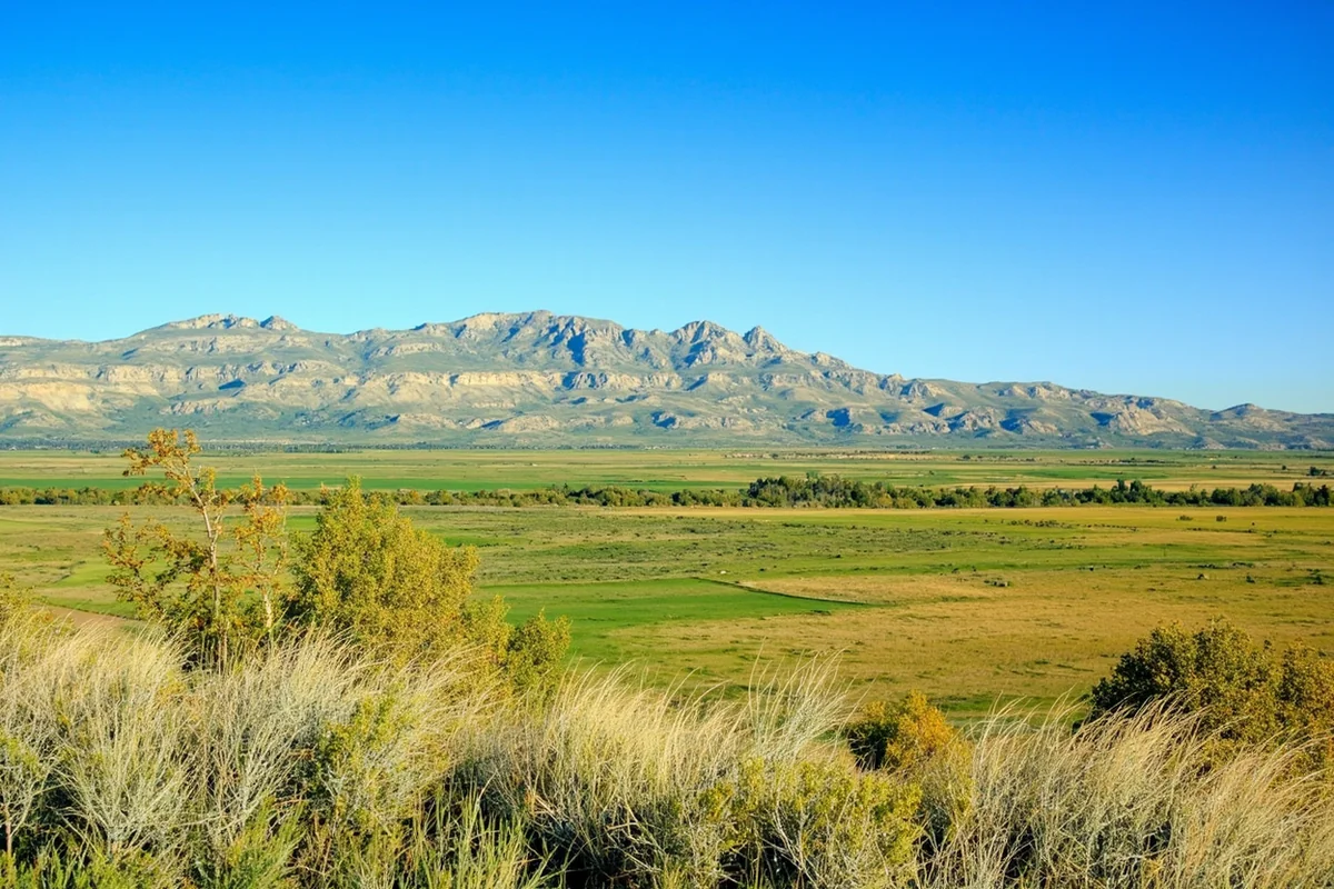
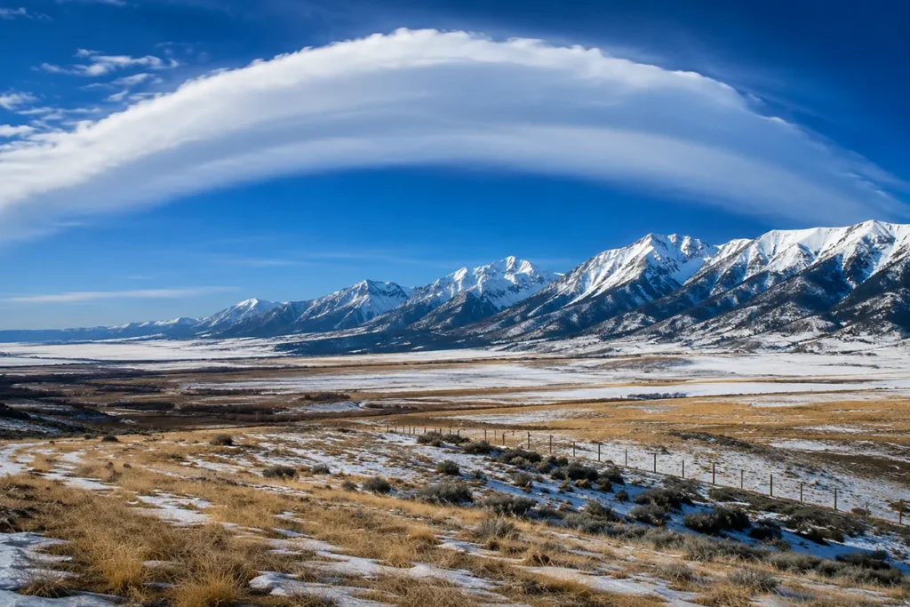
But Montana also spans 147,000+ square miles with elevation ranging from ~1,800 feet near the North Dakota border to peaks above 12,000 feet. That elevation spread alone creates wildly different climates.
Add in three other forces — Chinook winds spilling east off the Rockies, the rain shadow that dries out eastern Montana, and the Pacific maritime influence in the far northwest — and you get a state where one place can be 95°F while another is 55°F on the same afternoon.
On a typical summer road trip from Missoula to Miles City, I’ve seen 25°F temperature swings in a single day’s drive.
“Warmest” Depends on What You Mean
This is the framing most Montana weather guides miss. Three different rankings, three different winners:
| Question | Top contenders |
|---|---|
| Where are the hottest summer days? | Plevna, Glendive, Miles City, Sidney, Billings |
| Where is the highest annual mean temperature? | Thompson Falls, Fort Smith, Billings |
| Where are the mildest winters? | Bitterroot Valley (Hamilton, Stevensville), the Chinook belt (Choteau, Great Falls), Fort Smith |
| Where is the best balance of all three? | Billings |
The rest of this guide walks through each of these zones with the specific towns that anchor them.
The Eastern Plains Heat Zone — Where Montana Actually Sets Heat Records
The far eastern plains regularly produce Montana’s hottest summer days. The combination of lower elevation (mostly 1,800–3,000 ft), open prairie, and minimal mountain shading creates the closest thing Montana has to a desert summer climate.
Plevna — Holder of Montana’s All-Time State High
Plevna, a tiny town in Fallon County in southeast Montana, set the Montana all-time high temperature record of 117°F on July 5, 1937.
Almost no Montana travel guide mentions it — but it’s the single number that captures how hot the eastern plains can get.
Plevna’s elevation is roughly 2,800 feet, and the surrounding prairie has nothing to slow the summer sun.
Glendive — The Heat Champion
If you’re chasing single-day heat, Glendive deserves serious consideration. At just 2,064 feet elevation along the Yellowstone River in the state’s far east, Glendive averages around 90°F highs in July and routinely cracks 100°F during heat waves.
The badlands of Makoshika State Park just south of town bake under the sun — these are some of the warmest hiking conditions in Montana.
Miles City
Miles City, at 2,360 feet, regularly competes with Billings and Glendive for the state’s highest daily temperatures and often wins.
The Tongue and Yellowstone Rivers meet here in a broad valley that acts like a heat sink — triple-digit summer days are common.
May highs are often already in the 80s during the famous Bucking Horse Sale, when the rodeo brings the town to a peak.
Sidney
Sidney, tucked in the far northeast corner near the North Dakota border, gets genuinely hot in summer. The town sits in open prairie that bakes under the sun.
Mid-summer afternoons routinely climb into the 90s, and the oil-industry economy means decent amenities despite the remote feel.
Hardin
Hardin, 46 miles east of Billings on the Big Horn River, is consistently ranked among Montana’s warmest cities by annual mean temperature.
Summer highs run 77–87°F with warm overnight lows that stay above 50°F. Hardin is the gateway to the Little Bighorn Battlefield and to the Crow Reservation — both worth a stop.
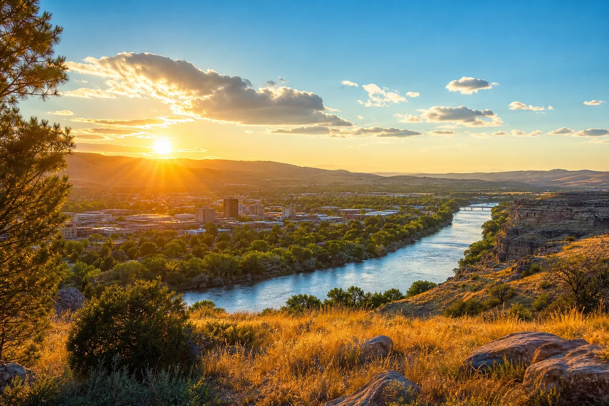
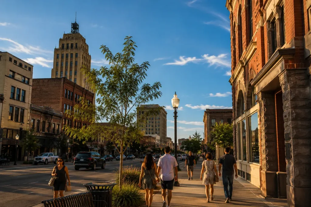
Billings — The Warmest Large City
Billings, Montana’s largest city at 3,126 feet in the Yellowstone Valley, consistently delivers the warmest temperatures of any Montana city above 50,000 people.
July and August bring average highs of 87–91°F, and the city frequently cracks 100°F during heat waves. During the 2021 Pacific Northwest heat dome, Billings hit 108°F.
What makes Billings particularly appealing for warm-weather travelers is the consistency. Unlike mountain towns where afternoon thunderstorms can crash temperatures, Billings holds its warmth through the day.
Nights typically drop into the low 60s — warm enough for patio dinners, cool enough for comfortable sleeping.
Winter highs average around 34°F, with frequent Chinook-driven warm spells. For the broader picture of January conditions, see Montana winter weather.
Eastern Plains Temperature Reference
| Location | Elevation | July Avg High | January Avg High |
|---|---|---|---|
| Plevna (state record holder) | ~2,800 ft | 90°F | 30°F |
| Glendive | 2,064 ft | 90°F | 28°F |
| Miles City | 2,360 ft | 91°F | 32°F |
| Sidney | 1,920 ft | 88°F | 28°F |
| Hardin | 2,907 ft | 89°F | 33°F |
| Billings | 3,126 ft | 89°F | 34°F |
| Missoula (comparison) | 3,209 ft | 86°F | 33°F |
| Bozeman (comparison) | 4,820 ft | 84°F | 32°F |
Fort Smith — Montana’s Quiet Winter Champion
Almost every Montana weather article skips this one, but the University of Montana’s climate writers have long flagged it: Fort Smith, in Crow Country south of Billings, holds the highest winter average temperature AND the highest annual mean temperature of any place in the state.
The town sits in a sheltered valley along the Bighorn River below Yellowtail Dam, at around 3,200 feet elevation.
The combination of Chinook influence, low relative humidity, and the lake-and-river thermal mass produces winters significantly milder than surrounding eastern Montana.
It’s a tiny community — fewer than 100 residents — but for sheer “warmest mean temperature in Montana” the data points here.
If you’re driving from Billings to Little Bighorn Battlefield, the Fort Smith detour is worth the drive simply for the climate curiosity.
Thompson Falls — The Warmest Town in Montana
Here’s the fact that catches most Montanans by surprise: NOAA’s annual climate data puts Thompson Falls in northwest Montana at the top of the list for highest annual mean temperature among named towns, at roughly 48.4°F. That’s warmer than Billings, warmer than Missoula, warmer than anywhere east of the divide.
Thompson Falls sits along the Clark Fork River at just 2,463 feet, in a sheltered valley that catches Pacific maritime air spilling east.
Summers are warm but moderate (highs 78–88°F) — the secret is the mild winters, with average winter highs in the 36–39°F range. Snowfall is much lower than the Flathead or Bitterroot.
If your goal is “warmest town in Montana by annual climate,” Thompson Falls beats every other contender in the state.
The Bitterroot Valley — Western Montana’s Banana Belt
Western Montana has its own warm pockets. The most famous is the Bitterroot Valley, running south from Missoula along Highway 93 toward the Idaho border.
Hamilton, Stevensville, and Victor
Hamilton, Stevensville, and Victor enjoy warmer temperatures than you’d expect given their proximity to mountain wilderness.
On a recent Highway 93 drive in late June, my dash thermometer showed 88°F near Hamilton while Missoula was sitting at 82°F.
The valley funnels warm air from the south and blocks some of the cooler mountain influences from the west.
Hamilton in particular gets only ~25 inches of snow annually (close to the national average) — light for Montana. Winters here are noticeably more pleasant than in Missoula or Bozeman, which is why locals call the Bitterroot Montana’s “Banana Belt.”
Missoula
Missoula surprises most visitors with its summer warmth. Despite being surrounded by mountains and forests, the city routinely hits 90°F in July and August.
The key difference from eastern Montana is that Missoula gets more afternoon clouds and occasional summer storms, so heat waves break up faster.
Big Timber and the Yellowstone Foothills
Big Timber, at about 4,100 feet in Sweet Grass County, ranks among Montana’s warmest small towns by annual mean temperature.
The Yellowstone River and a south-facing exposure make for surprisingly warm summers, and Chinook winds moderate the worst winter days.
The Crazy Mountains immediately to the north create a striking visual frame for what is, climate-wise, a quietly mild spot.
The Chinook Wind Belt — Where Temperatures Swing 50+ Degrees in Hours
No discussion of Montana’s warm places is complete without mentioning Chinook winds. These warm, dry winds spill east off the Continental Divide and can dramatically raise temperatures in hours.
I experienced my first Chinook in Great Falls during a February visit. The morning started at 15°F with snow on the ground.
By 2 PM, the temperature had soared to 52°F, and I watched snow literally evaporating from parking lots. For more on the wind side of the equation, see how windy is Montana.
Where Chinooks Hit Hardest
The Rocky Mountain Front — stretching from Glacier National Park south through Choteau, Great Falls, and toward Helena — sees the most dramatic Chinook effects. Communities here experience some of the most extreme temperature swings on Earth.
Loma — Guinness World Record Holder
This is the fact every other Montana weather article skips: Loma, Montana, holds the Guinness World Record for the biggest 24-hour temperature change anywhere on Earth.
On January 14–15, 1972, the temperature rose from -54°F to +49°F — a 103°F increase in 24 hours, driven by a powerful Chinook.
Loma is a tiny unincorporated community on the Marias River north of Fort Benton, and almost no one outside Montana has heard of it. But if you want to point to a single Montana location that captures how dramatically Chinook winds can swing the climate, this is it.
Browning’s 100-Degree Drop
Browning, just east of Glacier National Park, holds the reverse record: a 100°F drop in 24 hours. The temperature fell from 44°F to -56°F between January 23–24, 1916, when a Chinook collapsed and Arctic air spilled in behind it.
For warm-weather travelers, the Chinook belt is unpredictable but rewarding when it cooperates. I’ve golfed in Great Falls in February during Chinook conditions — surreal given the mountains looming to the west.
Always pack for the cold as a backup. See our Montana winter clothing guide before any cold-season visit.
Seasonal Guide to Montana’s Warmest Destinations
Your definition of “warm” depends on when you’re visiting. Here’s how to think about it month by month.
Spring (April–May): Head East and South
Spring comes earlier to eastern Montana than to the mountainous west. While Glacier and Yellowstone are still dealing with snowmelt and muddy trails, Billings and Miles City are often enjoying 60–70°F days.
Makoshika State Park near Glendive is a particularly good late-April destination — I’ve hiked there in perfect 65°F weather while friends in Missoula were still wearing jackets. The Missouri Breaks region around Fort Peck also warms up nicely in May.
Summer (June–August): Warmth Everywhere, East is Hottest
By summer, even mountain towns warm up considerably. For maximum heat, stick to the Yellowstone Valley corridor. For balance of warmth and mountain scenery, the Bitterroot Valley wins.
See Montana in June, Montana in July, and Montana in August for month-specific trip planning, plus the broader Montana summer overview.
Fall (September–October): The Sweet Spot
Fall might be the best season for balancing warmth with beauty. September in the Yellowstone Valley still delivers 70–80°F days while adding golden cottonwood colors along the rivers.
By October you’re gambling more with weather — I’ve experienced 75°F Halloween days in Billings and also early snowstorms.
See Montana in September for the full picture.
Winter (November–March): Limited but Possible
Winter warmth in Montana is relative. You won’t find tropical conditions, but you can find mild options.
- Thompson Falls has the mildest winter average of any named town.
- Fort Smith runs second.
- Billings is the safest bet among large cities.
- Hamilton and the broader Bitterroot Valley get noticeably less snow than surrounding regions.
And the Chinook belt produces unpredictable warm spells throughout the cold months.
For broader winter planning, see does it snow in Montana, Montana record-breaking winters, and best Airbnb in Montana for winter.
Hidden Warm Spots Most Visitors Miss
Beyond the obvious choices:
Huntley and Worden in the Yellowstone Valley’s broadest section east of Billings often record the day’s high temperatures for the region — not tourist destinations themselves, but worth knowing if you’re passing through.
The Tongue River Valley south of Miles City cuts through badlands country that traps heat effectively. The area around Ashland and Birney sees temperatures comparable to Miles City with even fewer visitors.
Fort Peck and the Missouri Breaks in northeast Montana warm up early in spring and stay warm late in fall — a good shoulder-season destination most travel guides skip.
The Bighorn Canyon area around Fort Smith benefits from canyon thermal effects and reservoir mass — genuinely mild compared to surrounding terrain.
Practical Tips for Visiting Montana’s Warm Zones
Hydration is critical. Montana’s warmest areas are also its driest. Low humidity dehydrates you faster than expected. I carry at least a gallon of water per person for any day of exploration in eastern Montana. During a July hike at Makoshika State Park, I consumed three liters in four hours and still felt the effects. See is Montana humid for more on the climate reality.
Sun protection matters more at elevation. Even at 2,000 feet, Montana sits higher than most of the country, and UV exposure is more intense than at sea level. Wear a hat, use sunscreen, and consider UPF clothing for extended outdoor time.
Air conditioning isn’t universal. Many older Montana motels and vacation rentals lack A/C. If summer heat bothers you, verify A/C availability when booking. Newer hotels in Billings, Bozeman, and Missoula all have it. Mid-tier and older properties — not always.
Plan for temperature swings. Even Montana’s warmest places can experience 40°F swings between afternoon highs and morning lows. Bring layers. A fleece jacket has saved me on more than one Montana morning, even in July.
Weather Safety Considerations
Thunderstorm season runs May through August across eastern Montana. Storms can be spectacular and dangerous. Lightning is a real risk on the open plains — when storms approach, head indoors or into your vehicle.
Wildfire smoke affects Montana’s warmest and driest months, particularly July and August. Smoke from regional fires can severely impact air quality. See our Montana wildfires overview and consider having an N95 mask available.
Extreme weather is rare for the categories most travelers worry about — hurricanes don’t reach Montana, tornadoes occur but are typically less severe than in the Plains states, and earthquakes happen but mostly in western mountains rather than the warm eastern plains. See why is Montana so cold and is Montana the coldest state for the full climate-extreme picture.
Best Activities in Montana’s Warm Regions
Badlands exploration. Makoshika State Park near Glendive and the Missouri Breaks badlands are best in warm, dry weather. The hoodoos, dinosaur fossils, and colorful rock formations are most accessible when trails are dry.
River recreation. The Yellowstone River through Montana’s warm corridor offers excellent summer floating. Bank-to-bank float trips from Billings downstream are popular, and the warm air makes the cold river water enjoyable rather than dangerous.
Golf and outdoor sports. Montana’s warm zones support a surprisingly long golf season. Billings has several quality courses that benefit from the mild microclimate — play windows often stretch March through November.
For more trip ideas, see our things to do in Montana hub.
Where to Stay in Montana’s Warm Zones on a Budget
Some of Montana’s warmest places are also among the most affordable. Glendive, Sidney, and Miles City all rank among the cheapest places to live in Montana, and mid-range hotel rates in those towns reflect the local cost of living — often half what you’d pay near Glacier or Yellowstone. Billings has the most lodging options across all budget tiers.
Final Thoughts on Finding Montana Warmth
After years of exploring this state in every season, I’ve come to appreciate that Montana rewards travelers who match their goals to the right zone.
Maximum summer heat → the eastern plains and the Yellowstone Valley. Mildest winter average → Thompson Falls or Fort Smith. Most consistent mid-climate → Billings. Best combination of warmth and mountain scenery → the Bitterroot Valley.
What I love most about Montana’s warm places is that they feel undiscovered. While tourists crowd Glacier and Yellowstone, Billings and the Yellowstone Valley offer authentic Montana without the masses. Add genuine warmth to that equation and you have something special.
For broader trip planning, see best time to visit Montana and our Montana winter driving guide for any cold-season backup.
Frequently Asked Questions
What is the hottest place in Montana?
Plevna, in southeastern Fallon County, holds the all-time Montana state high temperature record at 117°F, set on July 5, 1937. For routine summer heat, Glendive, Miles City, Sidney, and Billings in the Yellowstone Valley regularly produce the state’s hottest daily temperatures.
What is the warmest city in Montana year-round?
It depends on how you measure. By annual mean temperature, Thompson Falls in northwest Montana ranks #1 among named towns, with mild winters that pull its yearly average above any city east of the divide. Among large cities, Billings is the warmest overall, combining hot summers (89°F July average) with relatively mild winters. Fort Smith in Crow Country has the highest winter average in the state.
Which Montana towns have the mildest winters?
Thompson Falls for sheer annual climate, Fort Smith for winter mean specifically, and the Bitterroot Valley towns of Hamilton, Stevensville, and Victor for combination of mild winters and easy access. The Chinook belt — Choteau, Great Falls, and the Rocky Mountain Front — produces unpredictable but dramatic warm spells throughout winter.
What is the Loma temperature record?
Loma, Montana, holds the Guinness World Record for the biggest 24-hour temperature change on Earth — a 103°F rise from -54°F to +49°F on January 14–15, 1972. The change was driven by a powerful Chinook wind. The reverse record is also Montana’s: Browning’s 100°F drop in 24 hours on January 23–24, 1916.
When is the best time to visit Montana for warm weather?
Mid-June through early September for reliable warmth statewide. July is the hottest month, with the warmest regions averaging 85–95°F. September is the sweet spot for balancing warmth with cooler nights, fall colors, fewer crowds, and dramatically reduced bug pressure.
How much warmer is eastern Montana than western Montana in summer?
Typically 5–15°F warmer in summer, driven by lower elevations and less mountain shading. Glendive, Sidney, and Plevna can reach 100°F+ in July, while mountain-adjacent western Montana cities like Missoula and Kalispell usually peak in the mid-80s during the same period.
Are Montana’s warmest areas as crowded as Glacier National Park?
No. Makoshika State Park near Glendive, Pompeys Pillar near Billings, the Tongue River Valley, and the Missouri Breaks all see a fraction of Glacier’s three million annual visitors. You’ll find lower accommodation rates, no entry waits, and an authentic small-town Montana feel that doesn’t exist in the national-park corridors anymore.
Does Montana ever get hot enough for swimming?
Yes — by mid-July, lakes in the Flathead Valley warm to 65–75°F, and the Yellowstone River, Bighorn Lake, and Canyon Ferry Lake (near Helena) all become reliable swimming destinations. Late July and August are peak water-temperature months. Mountain lakes above 7,000 feet stay too cold for most swimmers all summer.
Sources