I’ve hiked to Avalanche Lake three times now, and I’ve never once had it to myself — and I’ve made peace with that, because it’s still one of the best returns on effort of any hike in Glacier National Park.
Avalanche Lake is a 4.6-mile round-trip hike from the Trail of the Cedars, reaching a 106-acre alpine lake fed by waterfalls dropping from the Sperry Glacier drainage. It’s one of the earliest trails in the park to melt out each spring and one of the most crowded by midsummer. This guide covers the real trail distance and elevation gain, when to go to avoid the worst of the crowds, what the lake trail conditions actually look like month to month, and the driving directions competitor sites keep getting wrong.
Liked this article?
Add Roaming Montana as a preferred source so you see more of our articles and guides on Google.
Getting the Distance to Avalanche Lake Right (Because Some Guides Don’t)
Let me clear something up first, because I’ve seen bad information about this hike online, including outright wrong driving directions on at least one competitor site.
The Avalanche Lake trailhead sits at the Trail of the Cedars parking area, roughly 33 miles from Kalispell via Highway 2 if you’re coming from the west entrance in West Glacier.
If you’re coming from the east side of the park through the St. Mary entrance, the drive to Browning off Highway 89 is about 30-something miles from Great Falls, not the four-digit mileage figure I’ve seen quoted elsewhere — a typo that would have you driving to another state entirely. Trust your GPS and the park’s own maps over anything that looks off.
The hike itself, from the Trail of the Cedars parking lot to the lake and back, runs 4.6 miles round trip with roughly 600 feet of elevation gain.
I’d rate it easy-to-moderate: manageable for most fitness levels, but with enough of a grade in the second half that you’ll feel it, especially if you’re not acclimated to the elevation yet.
The Hike, Step by Step
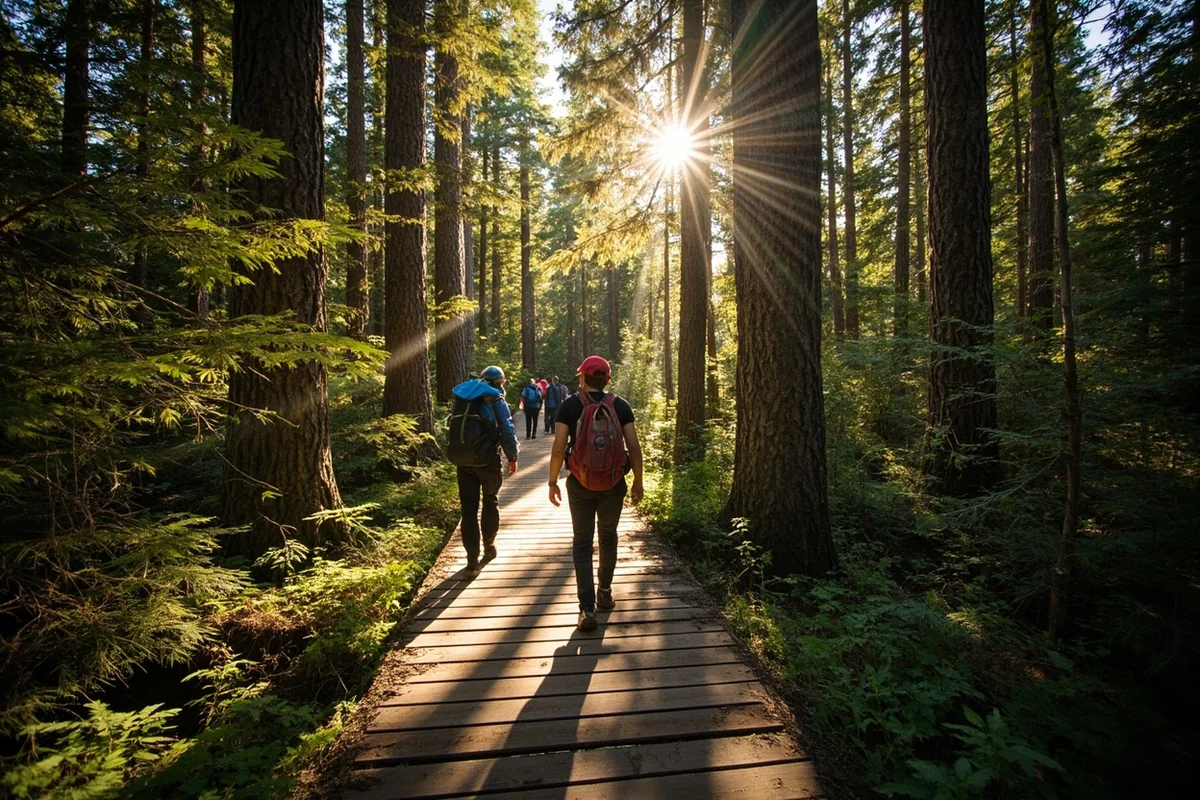
Starting from the Trail of the Cedars trailhead, the path is boardwalked and paved for the first stretch, winding through old-growth cedar and hemlock — genuinely some of the largest trees you’ll see anywhere in the park, and a nice contrast to the more open subalpine terrain most of Glacier is known for.
After about half a mile, the Avalanche Lake trail splits off and begins following Avalanche Creek upstream.
The next stretch cuts through dense forest for close to a mile before opening up enough to give you a first glimpse of Mt. Cannon and the drainage that feeds Hidden Lake, off in the distance.
From there, the trail continues gaining elevation gradually through mixed conifer forest before the vegetation starts to change — more deciduous shrubs and open meadow patches signal you’re getting close.
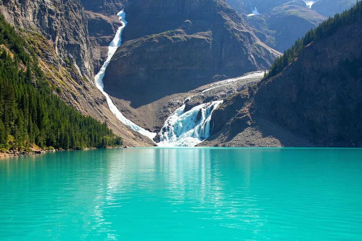
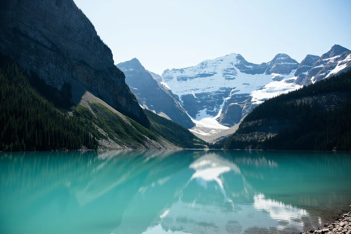
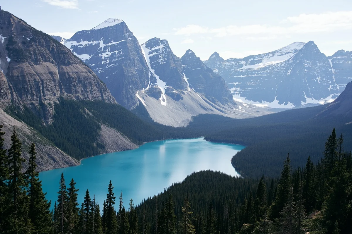
The final approach descends slightly to lake level, and the payoff is immediate: a long, narrow lake framed by steep cliff walls, with two or three visible waterfalls dropping in from high above on the far end.
I’ve stood at that first viewpoint on three separate visits now and had roughly the same reaction each time — it’s a genuinely dramatic scene for a 2.3-mile approach.
When the Trail Actually Opens (And Why It Matters)
Because this trail sits at relatively low elevation compared to most of the park’s other hikes, it’s typically one of the first to melt out each spring — often passable by late May, weeks before high-elevation trails near Logan Pass are even accessible.
I hiked it once in early June and still found patches of snow on the final descent to the lake, along with a noticeably higher, louder creek from spring runoff.
That early-season window is worth knowing about if you’re visiting Glacier before Going-to-the-Sun Road fully opens over the pass — Avalanche Lake gives you a legitimate, rewarding hike to do while you wait for the high country to clear.
Crowds and Timing
I won’t sugarcoat this one: Avalanche Lake is one of the most popular short hikes in the entire park, and the parking situation reflects it. By 9 a.m. on a July or August day, the Trail of the Cedars lot is typically full, and cars line the shoulder of the Going-to-the-Sun Road for a considerable stretch in both directions.
I’ve had my best experience arriving before 7:30 a.m., both for parking and for a noticeably quieter trail and lakeshore.
If early mornings aren’t realistic for your trip, consider the shuttle system that runs along Going-to-the-Sun Road in peak season, which drops hikers near the trailhead without the parking hassle [verify current shuttle schedule and stops].
Swimming and Water Temperature
Swimming is permitted at Avalanche Lake, and I’ll give you the same warning I give for every lake fed directly by glacial and snowmelt sources in this park: it is cold. I mean genuinely, teeth-chattering cold, even on a hot August afternoon.
I’ve waded in up to my knees and called it good enough. If you’re determined to swim, the shallower areas near the outlet tend to be marginally warmer than the deeper water near the base of the waterfalls.
Fishing Avalanche Lake
The lake holds westslope cutthroat trout, though they run small here — typically 7 to 9 inches, limited by the relatively low nutrient levels common to high alpine lakes like this one.
It’s a scenic spot to fish more than a productive one, and I’ve mostly seen people casting here as a bonus activity after the hike rather than a dedicated fishing trip. A free Glacier National Park fishing permit covers it, same as the rest of the park’s waters.
Avalanche Creek Campground
Right at the trailhead, Avalanche Creek Campground offers 87 sites with flush toilets and potable water, typically open from late May through early September [verify current dates].
I’ve stayed here once specifically to get an early jump on the trail the next morning, and it worked exactly as planned — I was on the trail by 6:45 a.m. and had long stretches of it to myself before the day-trip crowds arrived.
Nearby Trails Worth Combining
If you want to extend the day beyond Avalanche Lake itself, the Sperry Trail continues past the lake toward Sperry Chalet and the Sperry Glacier overlook, though that’s a serious full-day undertaking with significant elevation gain — not something to add on casually after the shorter hike.
For a shorter add-on, the Trail of the Cedars loop itself is worth walking in full if you skipped any of it on your way in, since a portion loops back along the opposite side of Avalanche Creek.
A Bit of Park History
Glacier National Park was established in 1910, and Avalanche Lake’s trail has been part of the visitor experience for nearly the entire life of the park since.
The Trail of the Cedars itself sits in one of the few old-growth forest pockets on this side of the park that escaped the major fires of the past century, which is part of why the cedars and hemlocks here are so much larger than the younger, fire-regenerated forest you’ll see elsewhere along Going-to-the-Sun Road.
The lake’s name comes from the frequent snow avalanches that sweep down the surrounding slopes in winter and spring, carving visible chutes into the mountainsides above the water — a detail that becomes obvious once you know to look for the bare, scoured tracks running down from the ridgelines.
Comparing Avalanche Lake to Other Glacier Hikes
I get asked often how this hike stacks up against the park’s other popular short trails. Compared to St. Mary Lake’s roadside pullouts, Avalanche Lake requires real effort — you have to earn the view.
Compared to Two Medicine Lake’s quieter, less-trafficked trails on the park’s east side, Avalanche is considerably busier, simply because of its location right along the main Going-to-the-Sun Road corridor.
If solitude matters more than convenience, Two Medicine’s trail network is the better bet; if you want maximum scenic payoff for minimum drive time from West Glacier, Avalanche Lake wins.
Nearby Lakes Worth Combining
Because Avalanche Lake sits so close to the main road, it pairs naturally with a bigger day exploring Lake McDonald itself, just a few minutes back down the highway.
I’ve built entire days around this stretch of the park: an early hike to Avalanche Lake before the crowds arrive, followed by an afternoon at Apgar or a scenic drive further up toward Logan Pass.
For lodging options on this side of the park, see my Glacier National Park lodging guide, and for a broader look at the park’s best trails, my Glacier hiking guide covers what else is worth your time.
Personal Tips / What I Wish I Knew
Go in the first hour after sunrise if you possibly can. This is the single biggest lever you have over your experience here — the difference between an empty trail and a crowded one often comes down to being there before 8 a.m.
Early June still has snow on the final stretch. If you’re visiting in the shoulder season specifically because the trail is “already open,” pack traction devices just in case and expect a colder, louder creek crossing than the July version of this hike.
The waterfalls are more dramatic after a wet spring. I’ve seen this lake in a low-snow year look noticeably less impressive than in a year with a heavy spring runoff — if photography is a priority, early summer after a big winter is your best bet.
Bear spray, every time. This is prime grizzly habitat, and Avalanche Lake’s popularity doesn’t change that. I carry it on every hike in this park regardless of how crowded the trail looks.
Check trail conditions before you drive out. Because this trail opens early and the rest of the park doesn’t, conditions can vary a lot between visits — a quick check of the park’s current trail status page before you leave your lodging saves a wasted trip if a late-season storm has closed things temporarily.
Practical Info: Avalanche Lake
| Trail distance | 4.6 miles round trip from Trail of the Cedars |
| Elevation gain | Approximately 600 feet |
| Difficulty | Easy-to-moderate |
| Lake size | 106 acres, approximately 2 miles of shoreline |
| Lake depth | Approximately 63 feet |
| Best season | Late May through September; opens earlier than most high-elevation park trails |
| Fishing permit | Free Glacier National Park fishing permit required |
| Camping | Avalanche Creek Campground at the trailhead, 87 sites |
Frequently Asked Questions
How long is the hike to Avalanche Lake?
The round trip from the Trail of the Cedars parking area is 4.6 miles, with about 600 feet of elevation gain, rated easy-to-moderate.
Is Avalanche Lake worth the crowds?
In my experience, yes — the payoff at the lake, with waterfalls dropping into a cliff-lined basin, holds up even with other hikers around. Going early in the morning is the best way to minimize the crowd factor.
Can you swim in Avalanche Lake?
Swimming is permitted, but the water is cold year-round due to glacial and snowmelt inflow. Most visitors wade rather than swim at length.
When does the Avalanche Lake trail open for the season?
Thanks to its relatively low elevation, this trail is typically one of the first in the park to melt out, often passable by late May, though early-season hikers may still encounter snow on the final approach.
Is there parking at the Avalanche Lake trailhead?
Yes, at the Trail of the Cedars lot, but it fills early in peak summer — I’d plan to arrive before 8 a.m. or use the park’s shuttle system during peak season.
Final Thoughts
Avalanche Lake earns its popularity honestly — few hikes in Glacier deliver this much visual payoff for this little mileage. Go early, bring layers for that cold final wade if you’re tempted to swim, and don’t let a crowded parking lot talk you out of one of the park’s best short hikes.
For more of Glacier’s lakes, see my guide to Lake McDonald, just down the road from this trailhead, or check out the complete guide to Montana’s best lakes for the rest of the region.