For part of the year, an entire Montana river simply vanishes. It pours into a hole in a limestone cliff, disappears completely, and shoots back out of the rock face nearly a quarter mile downstream.
- The Boulder River runs about 60 miles from the Absaroka-Beartooth Wilderness down to the Yellowstone River at Big Timber, and it splits into two distinct personalities at a single, remarkable landmark.
- Natural Bridge Falls, roughly 25 miles south of Big Timber, is where the river drops through ancient limestone caverns and, during low water, disappears underground entirely.
- The site holds real significance to the Crow Tribe, whose name for it translates to “where the water sinks in.”
- This river secretly appeared in a major Robert Redford film, joining a pattern I’ve noticed across several rivers in this series.
- I’ll cover the fishing, the falls, the geology, and a genuinely surprising mining operation buried deep beneath the mountains here.
Liked this article?
Add Roaming Montana as a preferred source so you see more of our articles and guides on Google.
The River That Disappears
I’ve visited Natural Bridge Falls twice, once in early June during runoff and once in late August, and I saw two completely different landmarks both times.
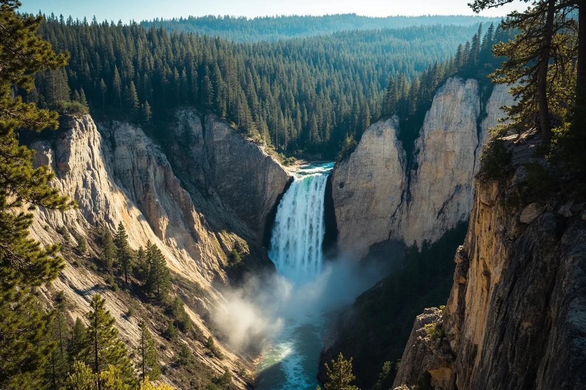
In June, the Boulder thundered over a roughly 100-foot limestone cliff in a genuine, thundering waterfall. In August, that same cliff was almost dry.
The river had vanished entirely into a hole in the limestone upstream, working its way through underground channels carved into ancient rock, only to shoot back out of the cliff face and reappear in a pool below.
This happens because the rock here is Madison limestone, soft and porous enough that the river has carved solution channels through it over thousands of years. During low water, the entire flow can travel underground rather than over the surface.
During high water, the underground channels can’t handle the volume, and the river spills over the top as a full waterfall too. I’d genuinely recommend visiting during both seasons if you can manage it, because it doesn’t feel like the same place twice.
There was once an actual natural stone bridge spanning the river here, which is how the site got its name.
It collapsed in July 1988, and today a newer bridge formation is slowly developing in its place as water continues carving through the rock — an ongoing geological process happening on a human timescale, which is rare enough to be worth appreciating on its own.
Where the Water Sinks In: A Crow Sacred Site
I think this deserves real attention, because it’s a piece of the story that most visitor guides to Natural Bridge Falls leave out entirely.
According to Elias Goes Ahead, a Crow tribal historian, the site’s name in the Crow language translates roughly to “where the water sinks in” or “where the water goes under.”
Before the Crow Tribe was confined to its reservation in the 1800s, Crow men reportedly fasted on the original limestone natural bridge itself and left offerings of tobacco there.
I find that detail genuinely moving to sit with while standing at the overlook. This wasn’t just a scenic curiosity to the people who lived in this valley long before Montana became a state — it was a place carrying real spiritual weight, tied to a genuinely unusual natural phenomenon that must have seemed remarkable to anyone who witnessed a river disappear into solid rock.
For more on the broader history of Indigenous peoples across the state, our key historical events in Montana page covers this era in more depth.
Fishing the Boulder, Section by Section
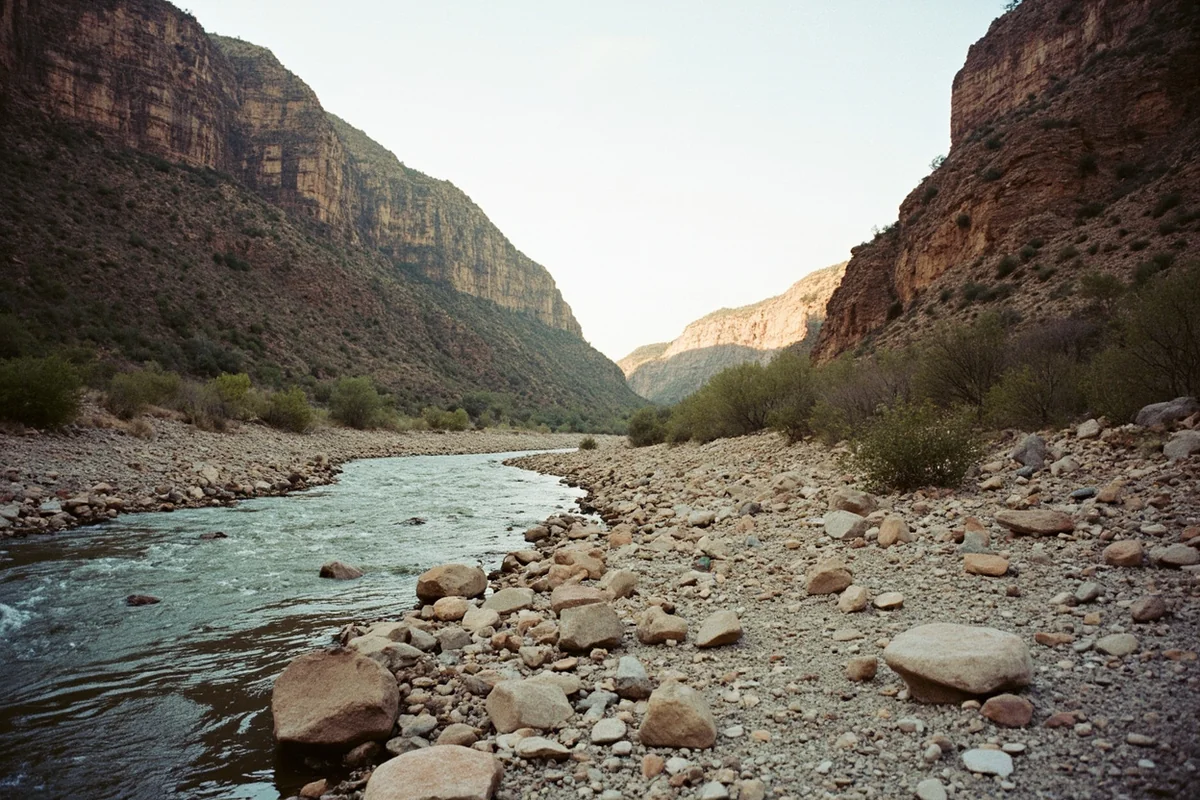
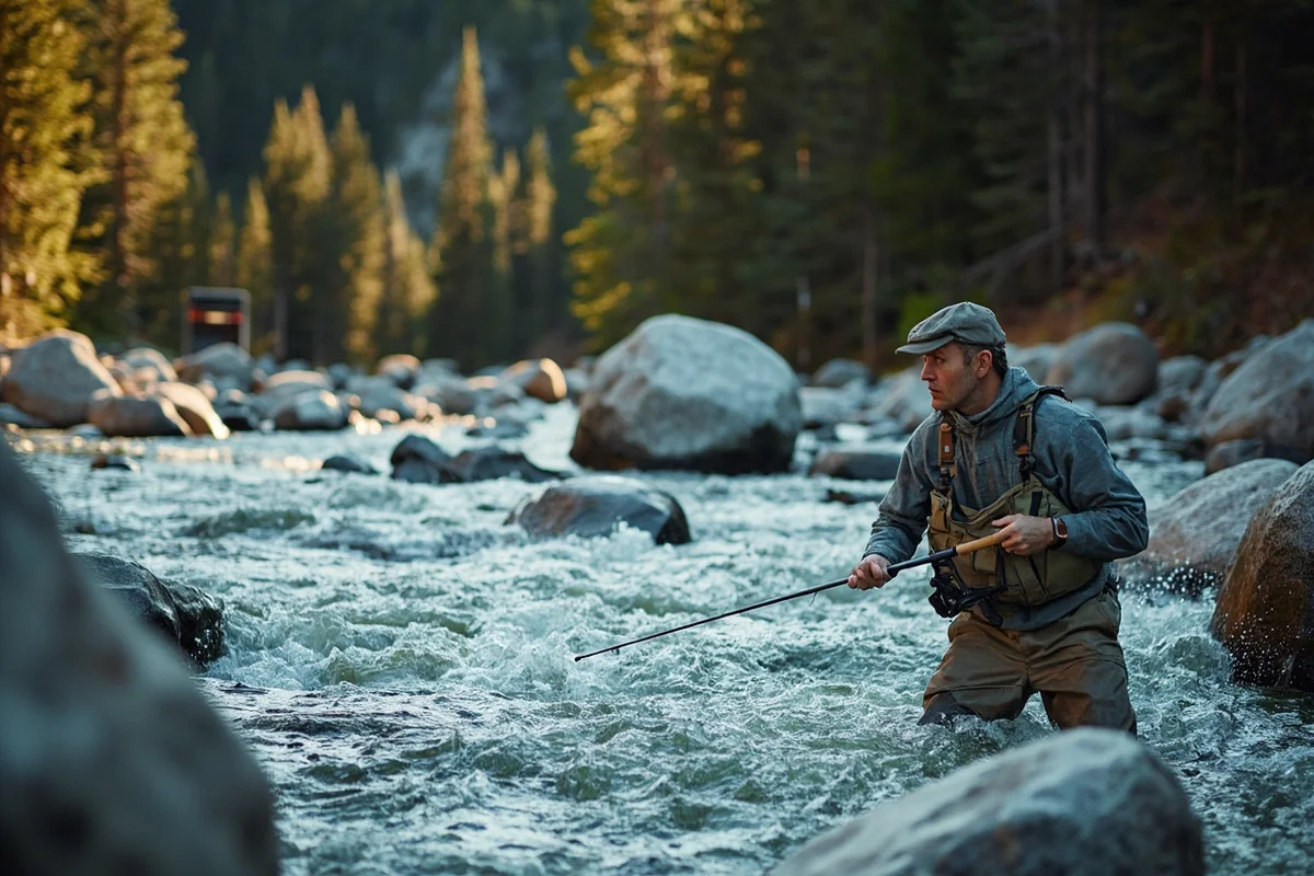
The upper canyon. From its headwaters at the confluence of the South Fork Boulder River and Basin Creek, the river runs almost 30 miles through the Absaroka-Beartooth Wilderness and surrounding national forest land, mostly on public land with excellent roadside access. This stretch runs fast, boulder-strewn, and genuinely turbulent, with Class III and IV whitewater in places. It’s not a float-fishing river here — you’re wading and working pocket water behind boulders, and the fishing rewards patience and good footwork on slippery rock.
Natural Bridge Falls. This landmark marks the dividing line between the river’s two personalities, roughly 25 to 26 miles south of Big Timber.
The lower valley. Below the falls, the Boulder enters a broad agricultural valley, slowing considerably as it winds through hay fields and cottonwood bottoms on its way to the Yellowstone.Much of this stretch runs through private ranch land, which genuinely limits public access — but that same limitation keeps fishing pressure lower than you’d expect for water this good. State access points and county bridges still offer legitimate entry points if you know where to look.
The Boulder holds a genuinely appealing mix of species: native Yellowstone cutthroat trout and mountain whitefish alongside wild brown and rainbow trout, with resident fish in the lower river reaching 18 to 20 inches.
Rainbows and browns also move up from the Yellowstone to spawn, occasionally producing real trophies for anglers willing to wade the difficult water.
The salmonfly hatch arrives in late June, though high water often makes it tough to fish; the first two weeks of July tend to offer the best combination of clear water and strong hatches.
For more on the native cutthroat you’ll encounter here, see our Montana state fish page.
Hollywood’s Other Secret Montana River
By now, if you’ve read other posts in this series, you might notice a pattern. The Blackfoot River wasn’t used in its own movie. The Kootenai River secretly starred in two major films. And the Boulder River joins that list too — the lower valley here was prominently featured in Robert Redford’s 1998 film “The Horse Whisperer.”
I find this recurring theme genuinely fascinating the more rivers I cover in this series. Montana’s film industry has quietly used a rotating cast of rivers as stand-ins and backdrops for decades, and the actual river featured in a movie’s story rarely matches the one you’d assume from the title or setting.
If you’re tracking this thread across the state, our Yellowstone River guide covers where the Boulder eventually joins that larger system near Big Timber, tying several of these film-location rivers together geographically as well as cinematically.
The Rock Beneath the Falls: 340 Million Years in the Making
The limestone that creates Natural Bridge Falls was deposited roughly 340 million years ago, when this entire region sat beneath a vast inland sea.
Limestone forms from the compressed remains of countless marine organisms — ancient clams, coral, and other sea life settling in layers over unimaginable spans of time.
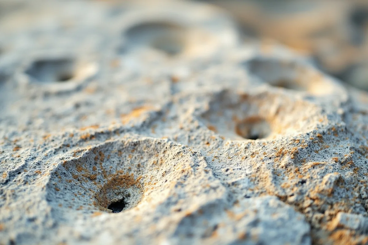
Eagle-eyed visitors can actually spot fossilized seashells embedded in the exposed rock along the falls today, a genuinely tangible connection to a Montana that looked nothing like the mountain landscape you’re standing in.
I think that’s worth pointing out to kids especially — it’s one thing to say a place is old, and another to physically touch a fossil in rock that predates the dinosaurs by tens of millions of years.
Platinum in the Mountains: The East Boulder Mine
Here’s a detail that genuinely surprised me when I first learned it. A few miles south of McLeod, the East Boulder River joins the main stem, and its drainage holds something you wouldn’t expect to find under a Montana mountain range: one of the primary sources of platinum and palladium mined in the entire United States.
Mining claims here date back to 1893, when prospector Ansel S. Hubble staked the first claims in the East Boulder drainage.
Today, the East Boulder Mine extracts ore from a roughly 28-mile-long underground deposit that connects, deep beneath the mountains, all the way to the Stillwater Mine near the town of Nye — a connection I’ll cover in more depth in this series’ upcoming Stillwater River guide.
Platinum and palladium from this deposit end up in jewelry, electronics, and the catalytic converters in cars and trucks across the country, extracted from a mine running thousands of feet beneath the same peaks anglers hike past on their way to fish the upper Boulder.
Wildlife Along the Boulder
The upper drainage, bordering the Absaroka-Beartooth Wilderness, offers genuinely excellent wildlife watching alongside the fishing and hiking.
Ospreys are a regular sight over the water, especially near the confluence areas where the East and West Boulder join the main stem — see our Montana osprey page for more on their nesting habits.
River otters occasionally show up in the calmer pools of the lower valley, covered on our Montana otters page. Elk and mule deer move through the valley in numbers, particularly in fall, and this remains legitimate grizzly bear habitat the closer you get to the wilderness boundary.
I’ve also had genuinely memorable encounters with mountain goats on the steep slopes above the upper canyon, working their way across terrain that looks nearly vertical from the valley floor.
Bring binoculars if wildlife watching is part of your plan — the canyon walls here hide more than they reveal at first glance.
Making Your Base Camp: Big Timber
Big Timber sits right at the Boulder’s confluence with the Yellowstone, making it the obvious hub for exploring this river. The drive south on Highway 298 runs through a genuinely scenic working ranch valley, with the pavement giving way to gravel once you pass Natural Bridge Falls and continue deeper into the mountains.
If you’re combining a Boulder River trip with other southwest Montana rivers, the upper drainage sits just over the mountains from Paradise Valley near Livingston, making it easy to fish both in the same trip.
Personal Tips / What I Wish I Knew
Visit Natural Bridge Falls at both high and low water if your trip allows it. I genuinely didn’t believe how different the site looks until I saw both versions myself.
Don’t attempt to float-fish the upper canyon. This stretch demands wading skill and real caution on slick boulders — it’s simply not drift-boat water, regardless of what other Montana rivers might have led you to expect.
Respect private land in the lower valley. Much of the stretch between Natural Bridge Falls and Big Timber runs through working ranches. Stick to designated state access points and county bridges rather than assuming open access.
Bring bear awareness gear for the upper drainage. This is genuine grizzly country bordering the Absaroka-Beartooth Wilderness — review our Montana bear guide before any backcountry camping trip here.
Time your salmonfly trip carefully. The hatch itself arrives in late June, but high water often makes fishing it difficult. I’ve had far better luck targeting the first two weeks of July instead.
Stop at the historic ranger station near the falls if it’s open. The Main Boulder Ranger Station, built in 1905 and located just across the road from Natural Bridge Falls, occasionally opens for public tours and adds real historical texture to the visit.
Practical Info: Boulder River at a Glance
| Section | Best For | Difficulty | Notes |
|---|---|---|---|
| Upper canyon (Absaroka-Beartooth Wilderness) | Wade fishing, hiking | Class III–IV whitewater, walk/wade only | Excellent public access |
| Natural Bridge Falls | Sightseeing, short hikes | Easy, wheelchair-accessible paths | Best seen in both high and low water |
| Lower valley (falls to Big Timber) | Fishing, scenic driving | Easy | Mostly private land, limited public access points |
[Verify current Natural Bridge State Monument hours and any Custer Gallatin National Forest alerts before your trip.]
Final Thoughts
The Boulder River rewards anyone willing to see past its name and discover what’s actually happening beneath the surface — literally, in the case of Natural Bridge Falls.
Fish the wild upper canyon, stand at the falls and watch a river disappear into 340-million-year-old rock, and take a moment to understand the Crow history tied to this exact spot before you move on.
For how the Boulder fits alongside the rest of the state’s best rivers, check out our full guide to the best rivers in Montana.
Pin this guide before your trip, and let me know in the comments whether you caught the falls at high water or low.