Cold War spies reportedly had a Montana dam on their sabotage list. That dam still controls the exact river most Flathead Valley visitors never think twice about.
- The Flathead River’s main stem forms at West Glacier and splits into two completely different characters on either side of Flathead Lake.
- Above the lake, it’s a wide, braided, snowmelt-fed river through the Kalispell area, popular for easy floating and modest trout fishing.
- Below the lake, a dam once called Kerr Dam — now tribally owned and renamed the SKQ Dam — controls flows into a wild, isolated stretch through the Flathead Indian Reservation.
- That lower stretch requires a tribal recreation permit to float, a detail almost no visitor guide clearly explains.
- I’ll walk through both halves of this river, the remarkable ownership story behind its dam, and the Cold War plot that once targeted it.
Liked this article?
Add Roaming Montana as a preferred source so you see more of our articles and guides on Google.
One River, Two Very Different Halves
Most people who visit the Flathead Valley never realize they’re only seeing half of this river’s story.
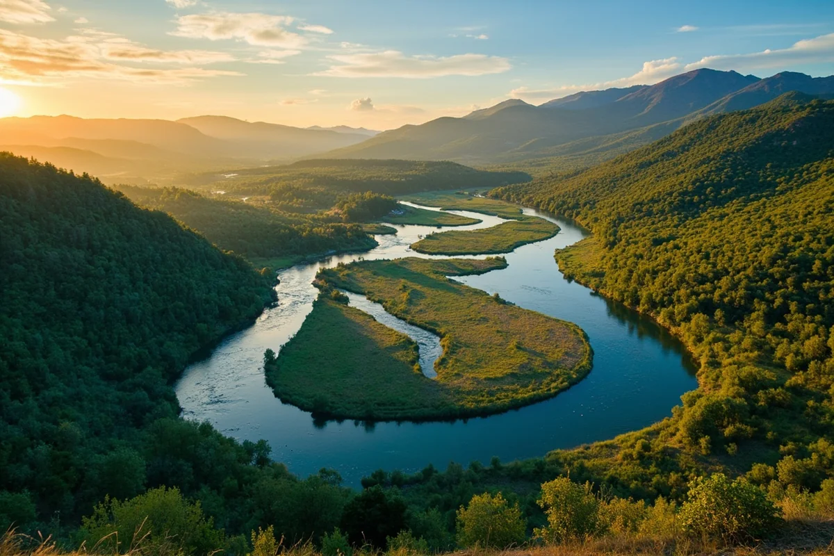
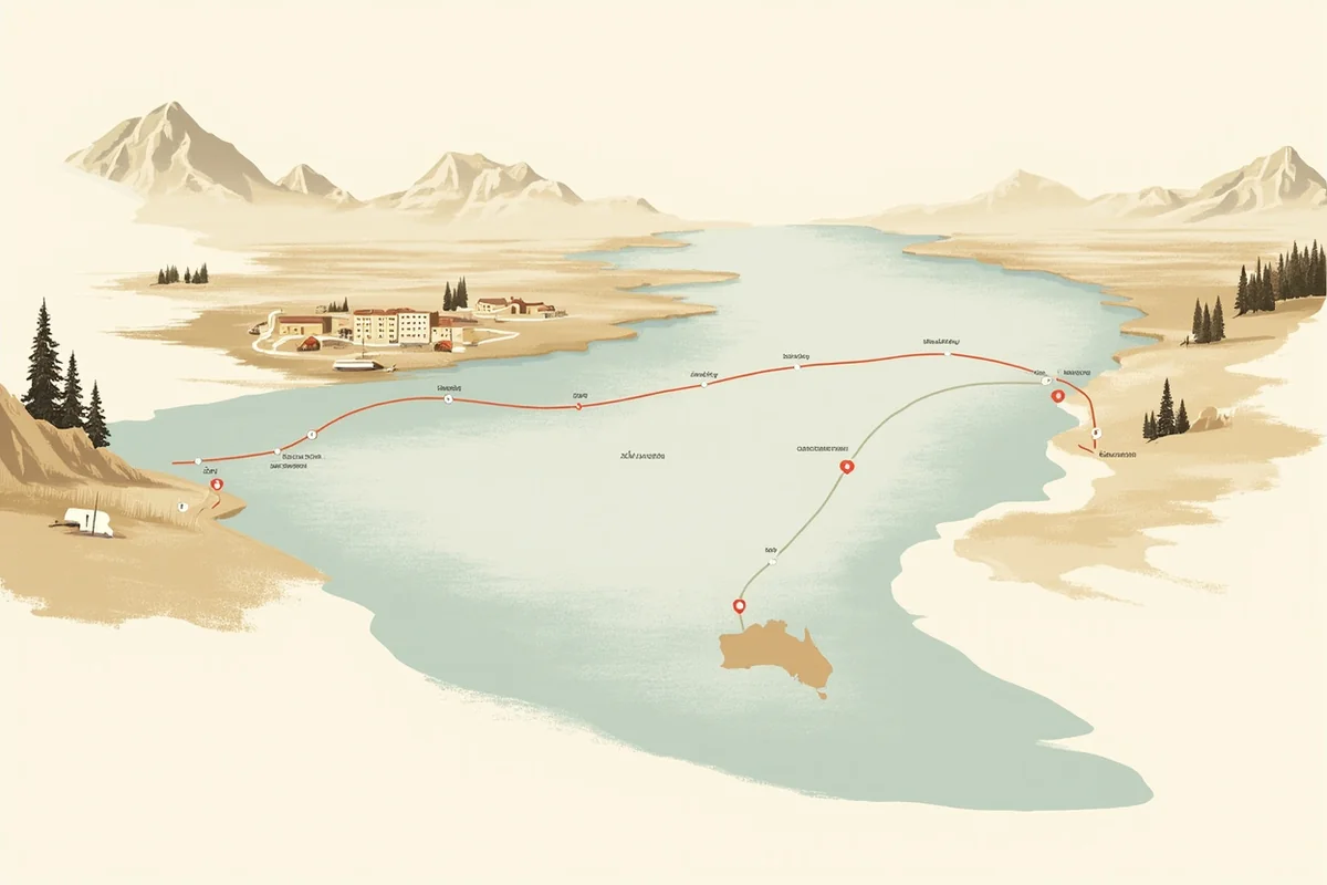
The Flathead’s main stem officially begins at West Glacier, where the North Fork and Middle Fork converge. From there it widens and slows as it passes Columbia Falls and Kalispell, eventually flowing into Flathead Lake, the largest natural freshwater lake in the western United States.
That’s the half almost every visitor sees. But south of Polson, the river reemerges from the lake through a dam, and everything about it changes — flow patterns, access rules, even which fish dominate the water.
I think both halves deserve real attention, so this guide covers the whole river, not just the postcard stretch north of the lake.
The Upper Flathead: Kalispell to Flathead Lake
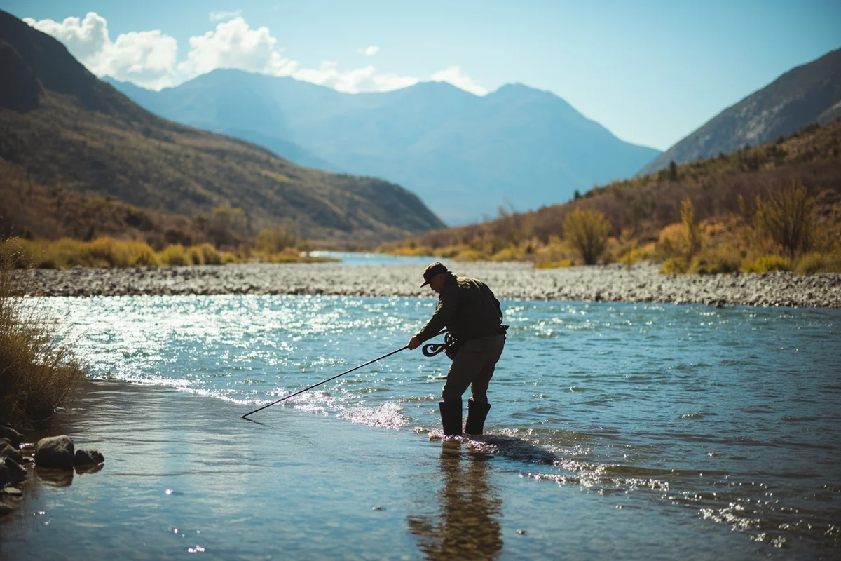
This stretch is wide by Montana standards, fed almost entirely by mountain snowmelt, and it stays genuinely cold well into summer.
Between Columbia Falls and Kalispell, the river braids into numerous channels, which makes for gorgeous scenery but can make wade fishing frustrating — the size and depth of the main channel keep a lot of the best holding water out of easy reach on foot.
I floated this stretch on a warm July afternoon and found the current fast but gentle, with a handful of small rapids and standing waves depending on flow, but nothing technical.
It’s an easy, low-stakes float compared to the whitewater found on the Middle Fork, which I’ve covered separately in our Middle Fork of the Flathead guide.
Fishing here holds decent rainbow and cutthroat trout, along with mountain whitefish that are especially productive around the Old Steel Bridge access site in Kalispell.
Bull trout migrate up from Flathead Lake to spawn in warmer months, though they’re a protected species and must be released immediately if caught.
I’ll be honest: this isn’t the state’s best trout fishery. The water’s high volume and relatively low nutrient load, being fed mostly by snowmelt, keep it from matching rivers like the Missouri or Bighorn.
What it lacks in trophy potential, it makes up for in low fishing pressure — I’ve had entire runs to myself on a summer weekday that would have been crowded on almost any other Montana river this scenic.
The Dam With Two Names (and a Cold War Secret)
Here’s a piece of this river’s story that genuinely surprised me the first time I learned it, and I’ve never seen it mentioned on a single fishing or travel guide about this river.
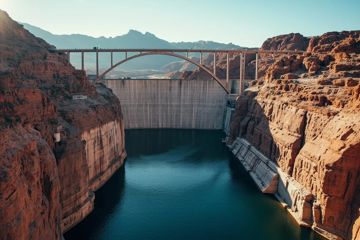
The dam that controls the outlet of Flathead Lake near Polson was built in 1938 and named Kerr Dam, after Frank Kerr, president of the Montana Power Company that built it.
Construction dragged through the Depression years due to funding troubles, but it eventually became the largest electrical generating plant in the company’s entire system.
In September 2015, the Confederated Salish and Kootenai Tribes purchased the dam outright for $18.2 million, and it now operates under a new name: the Séliš Ksanka Ql̓ispé Dam, or SKQ Dam for short, honoring the Salish and Kootenai peoples whose reservation surrounds it.
I think that ownership transition is a genuinely remarkable modern story, and it’s worth knowing before you visit, since most existing content about this river still only calls it “Kerr Dam” without any of that context.
Here’s the detail that still catches me off guard every time I think about it: declassified Cold War-era intelligence, including testimony from Soviet defector Vasili Mitrokhin, revealed that Soviet and East German intelligence services once included this exact dam on a list of American infrastructure targets, reportedly considering sabotage of its turbines or spillways to cause flooding and economic disruption.
The plan was never carried out, but it’s a wild footnote to a piece of infrastructure most Flathead Valley visitors drive past without a second thought.
The Wild Lower River: Buffalo Rapids and the Reservation Stretch
South of the dam, the Flathead becomes a genuinely different river, and I think it’s the most underrated stretch in this entire guide.
Immediately below the dam, the river drops through a canyon locally known as Buffalo Rapids, with real Class IV whitewater and sizeable waves and holes — this is serious water, not a casual float.
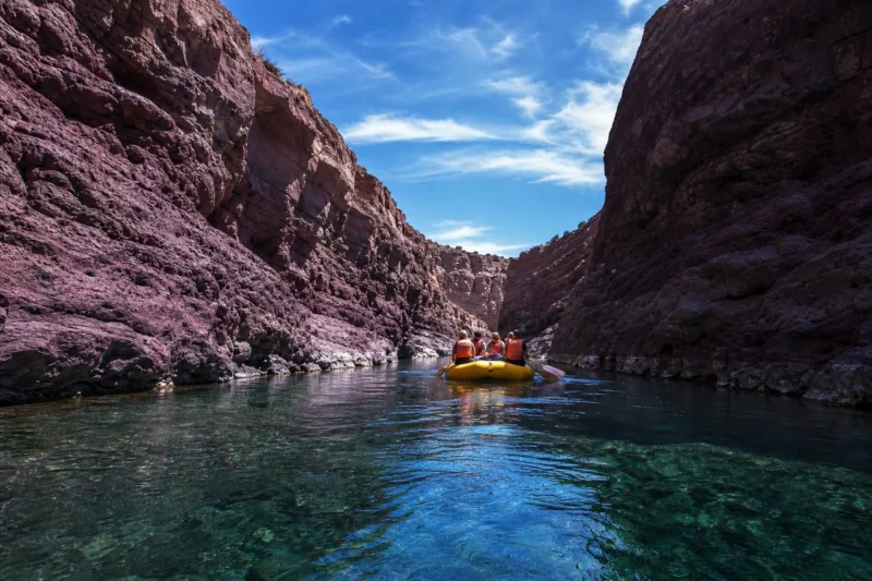
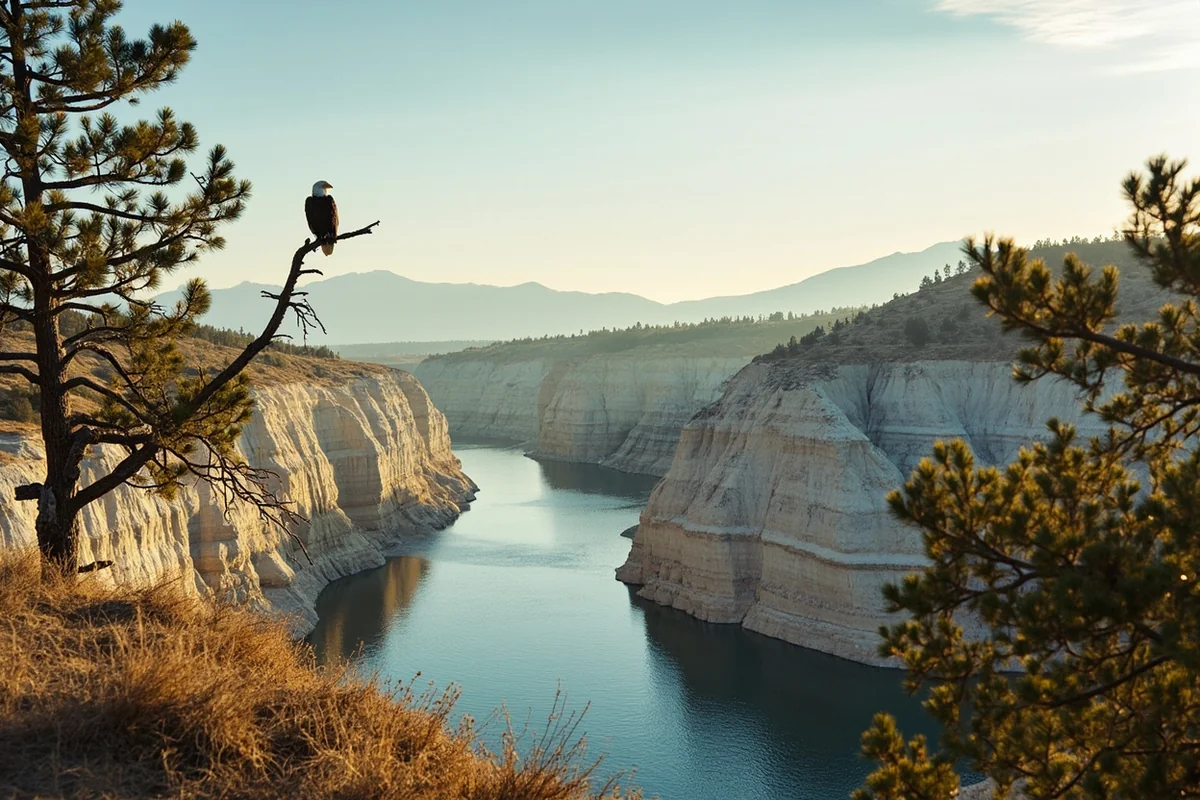
Past that, the river settles into more than 20 miles of remarkably isolated, mostly roadless water between Buffalo Bridge and Sloan Bridge, cutting through pale, crenulated cliffs made of ancient Glacial Lake Missoula sediment and Mission Glacier moraine deposits.
I want to emphasize just how quiet this stretch is. Local tribal recreation officials have described it as one of the least-used reaches of the lower river, with little to no public or private access and barely a rooftop visible from the water for miles at a stretch. Bald eagles hunt here regularly, cliff swallows nest in the soft rock formations, and wild mint grows thick along parts of the shoreline.
Here’s the detail most visitors completely miss: floating this stretch requires a recreation permit from the Confederated Salish and Kootenai Tribes, since the river here runs through the Flathead Indian Reservation.
A three-day pass and an annual pass are both available at area sporting goods stores and tribal offices [verify current permit fees before your trip, as they can change]. Fishing or camping along this stretch requires separate tribal stamps as well.
This is a genuinely different situation than most other Montana rivers, where Montana’s Stream Access Law alone governs where you can be — see our page on Montana laws for more on regulations that vary by location across the state.
Fish populations shift dramatically below the dam too. Brown trout dominate in spring and early summer, but by August, smallmouth bass move in heavily, some individuals migrating as much as 60 miles up and down the river between seasons according to tribal fisheries surveys.
Northern pike fishing is genuinely excellent in this stretch, and serious pike anglers specifically target the water around Dixon with heavy rods and large streamers.
A Lake Born From an Ice Age Flood
Flathead Lake itself has a genuinely fascinating origin story that ties directly into geology I’ve covered elsewhere in this series. In our Blackfoot River guide, I talked about the Missoula Floods reshaping that river’s canyon — Flathead Lake is part of the same story, on the other end of it.
During the last ice age, a massive glacier filled the trench now occupied by Flathead Lake, and its advance carved the basin the lake sits in today.
The Polson Moraine, near modern Polson, marks the exact southern edge of that ancient glacier — the point where it stalled for years before retreating. Water eventually cut through that moraine, and the resulting outflow helped shape the very river system this whole guide covers.
Wildlife Along the Flathead
Both halves of this river offer genuinely good wildlife watching, though the character differs sharply between them.
Above the lake, near Kalispell and Columbia Falls, ospreys are a near-constant presence over the braided channels — see our Montana osprey page for more on their nesting habits. River otters occasionally show up in quieter side channels here too, covered on our Montana otters page.
Below the dam, bald eagles are the signature sighting, often perched in the ponderosa pines overlooking the isolated Buffalo Bridge to Sloan Bridge stretch.
White-tailed deer and the occasional black bear move through the cliffside terrain, and the general remoteness of this reach means genuine wildlife encounters are more common here than almost anywhere else covered in this series.
If you’re basing your trip out of Bigfork or Polson on the lake itself, both towns make an easy jumping-off point for exploring either half of the river.
Personal Tips / What I Wish I Knew
Don’t assume the whole river operates under the same rules. The Stream Access Law governs the upper river north of the lake, but the CSKT permit system governs the lower reservation stretch. Mixing these up is the single most common mistake I see visitors make.
Fish the upper river’s side channels in late summer, not spring. High, cold runoff makes wading genuinely difficult and occasionally dangerous through June. By August, flows drop and side channels become far more approachable on foot.
Don’t underestimate Buffalo Rapids. The named whitewater immediately below the dam is genuine Class IV water. If you’re not an experienced whitewater paddler, this section deserves a guide, not a solo attempt.
Bring bear awareness gear near the upper river’s forested stretches. This entire valley remains real grizzly country closer to Glacier’s boundary — review our Montana bear guide before any riverside camping.
Budget extra time for permit logistics if you’re floating the reservation stretch. Sporting goods stores in Polson and the surrounding area carry CSKT permits, but don’t assume you can pick one up at the put-in itself.
Ask locally which stretch fits your skill level before committing. I’ve met more than one visitor who assumed the whole Flathead was gentle floating water based on the calm upper stretch, only to be genuinely surprised by Buffalo Rapids downstream. A quick conversation with a local outfitter or fly shop before you launch can save you a dangerous mistake.
Practical Info: Flathead River at a Glance
| Section | Best For | Difficulty | Access Notes |
|---|---|---|---|
| West Glacier to Kalispell | Easy floating, scenic fishing | Easy, some small rapids | Standard Montana access rules apply |
| Kalispell to Flathead Lake | Wade and float fishing | Easy | Braided channels, best late summer |
| Buffalo Rapids (below SKQ Dam) | Whitewater only | Class IV | Guide strongly recommended |
| Buffalo Bridge to Sloan Bridge | Remote floating | Easy–moderate | CSKT recreation permit required |
| Dixon area | Pike fishing | Easy | Popular with warm-water anglers |
[Verify current CSKT recreation permit fees and requirements directly with the Confederated Salish and Kootenai Tribes before planning a float on the lower river.]
Final Thoughts
The Flathead River rewards anyone willing to see it as two rivers rather than one — a wide, gentle, family-friendly stretch north of the lake, and a wild, permit-only, genuinely isolated stretch to the south that most visitors never realize exists.
Learn the SKQ Dam’s remarkable modern history, respect the reservation’s permit system on the lower river, and you’ll come away with a far fuller picture of this valley’s defining waterway than most guidebooks offer.
For how the Flathead fits alongside the rest of the state’s best rivers, check out our full guide to the best rivers in Montana.
Pin this guide before your trip, and let me know in the comments if you’ve floated the lower reservation stretch yourself.