The most common story about how this river got its name is almost certainly wrong. And the river itself, the longest undammed one left in the country, nearly rewrote its own geography in a single week in 2022.
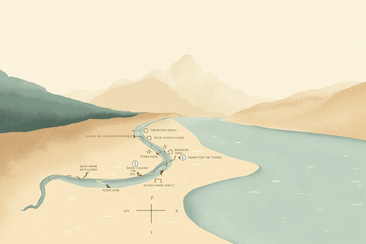
- The Yellowstone runs roughly 670 miles from its headwaters in Wyoming’s Absaroka Range, through Paradise Valley and Livingston, out past Big Timber and Columbus, and into North Dakota, where it finally joins the Missouri.
- It’s the longest undammed river in the contiguous United States, a title I’ve had to correct on other sites throughout this series — it belongs to the Yellowstone alone, not any of its tributaries.
- Most people assume the name comes from the yellow canyon walls inside the national park. Historians think that’s probably backwards.
- In June 2022, a 500-year flood event permanently rerouted parts of this river and the roads beside it.
- I’ll cover the fishing section by section, the honest history behind the name, and what that flood actually changed.
Liked this article?
Add Roaming Montana as a preferred source so you see more of our articles and guides on Google.
The Longest Undammed River in the Lower 48 — What That Actually Means
I’ve referenced this fact in nearly every other post in this series, correcting it more than once when I found it misattributed to a different river entirely. It’s time I actually explained it properly.
The Yellowstone runs its entire length, roughly 670 miles from its headwaters near Younts Peak in Wyoming to its confluence with the Missouri in North Dakota, without a single major dam interrupting its flow.
A handful of small diversion dams exist to feed irrigation canals, but nothing that impounds the river the way Hebgen Dam controls the Madison or Yellowtail Dam controls the Bighorn.
That distinction matters more than trivia value. Every other major trout river in this series has its character shaped, at least partly, by a dam somewhere upstream — cold tailwater releases, controlled flows, predictable seasons.
The Yellowstone has none of that. It runs high and muddy through spring runoff exactly the way nature intended, clears on its own schedule based on that year’s snowpack, and floods without warning when conditions align.
I think that’s genuinely rare in the modern American West, and it’s worth appreciating every time you step into this water.
A River Older Than Its Own Name
Here’s something I didn’t know until I actually dug into this river’s history, and I think most visitors get it backwards.
Most people assume “Yellowstone” comes from the dramatic yellow canyon walls inside Yellowstone National Park — the Grand Canyon of the Yellowstone, with its famous ochre and gold cliffs. It’s a satisfying story. It’s also probably not true.
The name traces back to the Minnetaree people, a Hidatsa group who lived along the Missouri River near present-day North Dakota, hundreds of miles downstream from the park.
They called the river Mi tse a-da-zi, roughly “Yellow Rock River,” most likely describing yellow sandstone bluffs along the river’s lower reaches in eastern Montana, not anything near the park.
Historians who’ve studied this closely point out that the Minnetaree had no realistic way of having traveled six hundred miles upstream into hostile territory to see the park’s canyon before naming the river.
French trappers translated the name to Roche Jaune, and English-speaking traders eventually rendered it as Yellow Stone, a name Lewis and Clark recorded and helped popularize.
The Crow people, whose traditional homeland encompasses much of the river’s course through Montana, called it something entirely different: E-chee-dik-karsh-ah-shay, or Elk River, describing the abundant wildlife along its banks rather than any rock formation at all.
I think that’s worth knowing — a river as significant as this one carried multiple names, each reflecting a different relationship with the land, long before any single version won out. And worth remembering: the national park took its name from this river, not the other way around.
For more on this deeper history, our key historical events in Montana page covers the broader Indigenous and expedition-era history of the state.
Fishing the Yellowstone, Section by Section
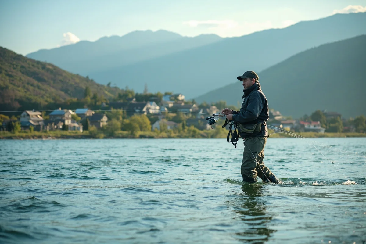
Inside Yellowstone National Park. The river’s uppermost fishable stretches, including the world-famous water around Yellowstone Lake and through the park’s interior, hold native Yellowstone cutthroat trout in water so clear you can sight-fish to individual rising fish. Access here requires a separate Yellowstone National Park fishing permit in addition to your standard license.
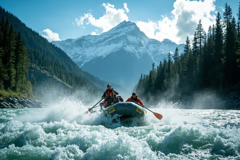
Yankee Jim Canyon to Paradise Valley. As the river exits the park near Gardiner and drops through Yankee Jim Canyon, floating gets more technical, though nothing beyond what an experienced boater can handle. Once it opens into Paradise Valley, the river settles into some of the most scenic, consistently productive water in the entire system, framed by the Absaroka and Gallatin ranges on either side.
The Livingston “town stretch.” This is the busiest section of the whole river, and for good reason — easy access, strong hatches, and a healthy mix of browns, rainbows, and cutthroats. I’ve floated it on a July morning and had to wait my turn at the boat ramp behind three other parties, which tells you something about how popular this stretch has become.
Livingston to Big Timber. Fish numbers thin out slightly here, but so does the pressure, and this stretch has a genuine reputation for producing some of the largest browns in the system, particularly in fall. The valley opens up, with the Crazy Mountains visible in the distance alongside the Absarokas.
Big Timber to Columbus. The Stillwater River joins in around Columbus, adding a pulse of cold, clear water that noticeably boosts fish numbers for several miles downstream. I’ve covered this confluence area in more depth in our Stillwater River guide.
Below Columbus. Past this point, the river warms enough that it transitions into a genuine warm-water fishery, with smallmouth bass, carp, and other species becoming more common as trout numbers steadily decline heading toward Billings and beyond.
Yankee Jim Canyon and the Toll Road That Started It All
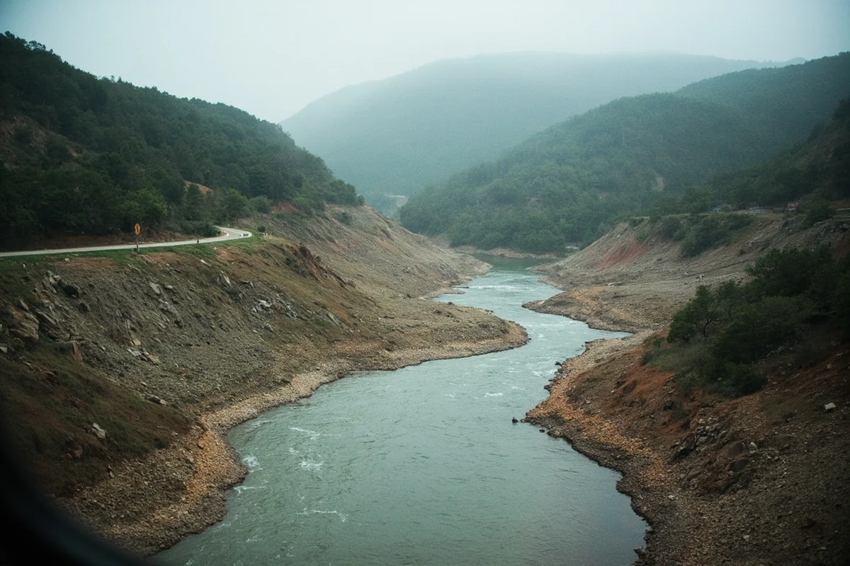
I think this stretch deserves its own mention beyond just a fishing note. Yankee Jim Canyon takes its name from an early homesteader, “Yankee Jim” George, who built and operated a toll road through this narrow gorge in the 1870s, decades before any modern highway existed here. Travelers heading toward the newly established Yellowstone National Park had to pay him to pass through.
That toll road is long gone, replaced by US-89, but the canyon itself remains one of the most scenic and slightly technical stretches of the entire river — nearly four miles long, with public access along both banks, and just enough current to keep floaters paying attention.
The Flood That Redrew the Map
I want to spend real time on this, because it’s the single biggest thing to happen to this river in decades, and most fishing content treats it as old news rather than the defining event it actually was.
In June 2022, an atmospheric river event dumped several inches of rain onto the northern reaches of Yellowstone National Park, on top of an unusually deep, late-melting snowpack.
The result was catastrophic. The Yellowstone River at Corwin Springs, just north of the park, crested at nearly 14 feet with a peak flow of roughly 50,000 cubic feet per second — the previous record, set in 1918, was about 32,000 cfs.
This was classified as a 500-year flood event, meaning roughly a 0.2 percent chance of occurring in any given year.
The damage was severe and immediate. The park’s entire North Entrance Road between Gardiner and Mammoth Hot Springs washed out in multiple places, some sections collapsing entirely into the river.
The Carbella Bridge, a historic steel truss crossing, was swept away on video that circulated widely at the time. Homes in Gardiner were damaged, with at least one carried away by the floodwaters.
Roughly ten thousand park visitors were evacuated within about 24 hours, along with dozens of people airlifted to safety from isolated communities. Remarkably, no deaths were reported in or immediately around the park.
The recovery reshaped the landscape permanently. Rather than rebuild the North Entrance Road in its original location, engineers deliberately moved the new alignment away from the river, anticipating future flood risk.
I drove through this area a year after the flood and could still see debris fields, altered channels, and fresh gravel bars that hadn’t existed before — a river that had, in a matter of days, redrawn parts of its own course after more than a century of relative stability.
I think this matters for anyone planning to fish or float here. This river is genuinely unpredictable in a way its dammed neighbors aren’t, and the 2022 flood is the clearest possible proof of that.
Check current conditions before any trip, especially during runoff season, and don’t assume a stretch you fished five years ago still looks the same today.
The Lake Trout Crisis Upstream
There’s a quieter, ongoing story worth knowing too. Inside Yellowstone National Park, non-native lake trout were illegally introduced into Yellowstone Lake sometime before the mid-1990s, and they’ve since devastated the native cutthroat population that historically spawned in the lake’s tributaries, including the upper Yellowstone River itself.
Lake trout are aggressive predators of young cutthroat, and their unchecked population growth has meant far fewer cutthroat make the migration down into the river’s uppermost reaches than a generation ago.
The National Park Service has run an extensive, ongoing lake trout suppression program for years, netting hundreds of thousands of fish annually, but full recovery remains a long-term project rather than a solved problem.
I think it’s worth knowing this before you fish the park’s interior stretches expecting the cutthroat numbers older guidebooks describe — the river has changed, and not entirely for natural reasons.
Making Your Base Camp: Livingston and Gardiner
Livingston is the obvious hub for most of this river, sitting right on the water with the widest range of fly shops, outfitters, and lodging in the valley. If you’re focused on the park stretch and Yankee Jim Canyon, Gardiner puts you closer to the water and the park’s north entrance.
Farther downstream, Big Timber and Columbus both make sense if you’re targeting the quieter, less-pressured stretches of river below Livingston. If you want to extend a day of fishing into an overnight stay, Chico Hot Springs sits right in Paradise Valley along this same stretch of river.
Personal Tips / What I Wish I Knew
Don’t fish the Livingston town stretch on a summer weekend if you want solitude. It’s genuinely the busiest water on the entire river. I’d point you toward the Big Timber to Columbus stretch instead if crowds bother you.
Runoff timing varies wildly year to year on this undammed river. Unlike the Missouri or Bighorn, there’s no dam smoothing things out. Check current flows before committing to a specific week, especially in May and June.
Wind is a real factor, especially near Yankee Jim Canyon. I’ve had days where the fishing was excellent and the casting was miserable purely because of sustained afternoon wind funneling through the canyon.
Respect grizzly country near the park boundary. Bears move through the riparian corridor around Gardiner and the upper valley regularly — review our Montana bear guide before any camping trip in this stretch.
Check current road conditions before a Gardiner-area trip. Given how much the 2022 flood permanently altered access routes, I wouldn’t assume the road you remember from a previous visit still follows the same path.
Practical Info: Yellowstone River at a Glance
| Section | Best For | Difficulty | Notes |
|---|---|---|---|
| Inside Yellowstone National Park | Native cutthroat fishing | Easy–moderate | Separate NPS fishing permit required |
| Yankee Jim Canyon | Scenic floating | Moderate | Historic toll road site |
| Paradise Valley | Fishing, floating | Easy–moderate | Most scenic stretch |
| Livingston town stretch | Fishing, floating | Easy | Busiest section of the river |
| Livingston to Big Timber | Trophy brown trout | Moderate | Larger fish, less pressure |
| Big Timber to Columbus | Fishing, floating | Easy | Stillwater confluence boosts fish numbers |
| Below Columbus | Warm-water fishing | Easy | Transitions to bass and carp water |
[Verify current road conditions, NPS fishing permit requirements, and river flow data before planning a trip to the Gardiner-area stretches, given ongoing flood-recovery infrastructure work.]
Final Thoughts
The Yellowstone earns its reputation honestly — it’s the biggest, wildest, most unpredictable river in this entire series, running free the whole way from Wyoming’s high country to the North Dakota line without a single dam to tame it.
That freedom is exactly why it can also turn on you with almost no warning, as it proved in June 2022.
Fish it with real respect for its size and its history, correct the record on its name the next time someone tells you it’s from the canyon, and take a little time to appreciate a river that, remarkably, still gets to behave like a river.
For how the Yellowstone fits alongside the rest of the state’s best water, check out our full guide to the best rivers in Montana.
Pin this guide before your trip, and let me know in the comments which stretch you’re planning to fish.