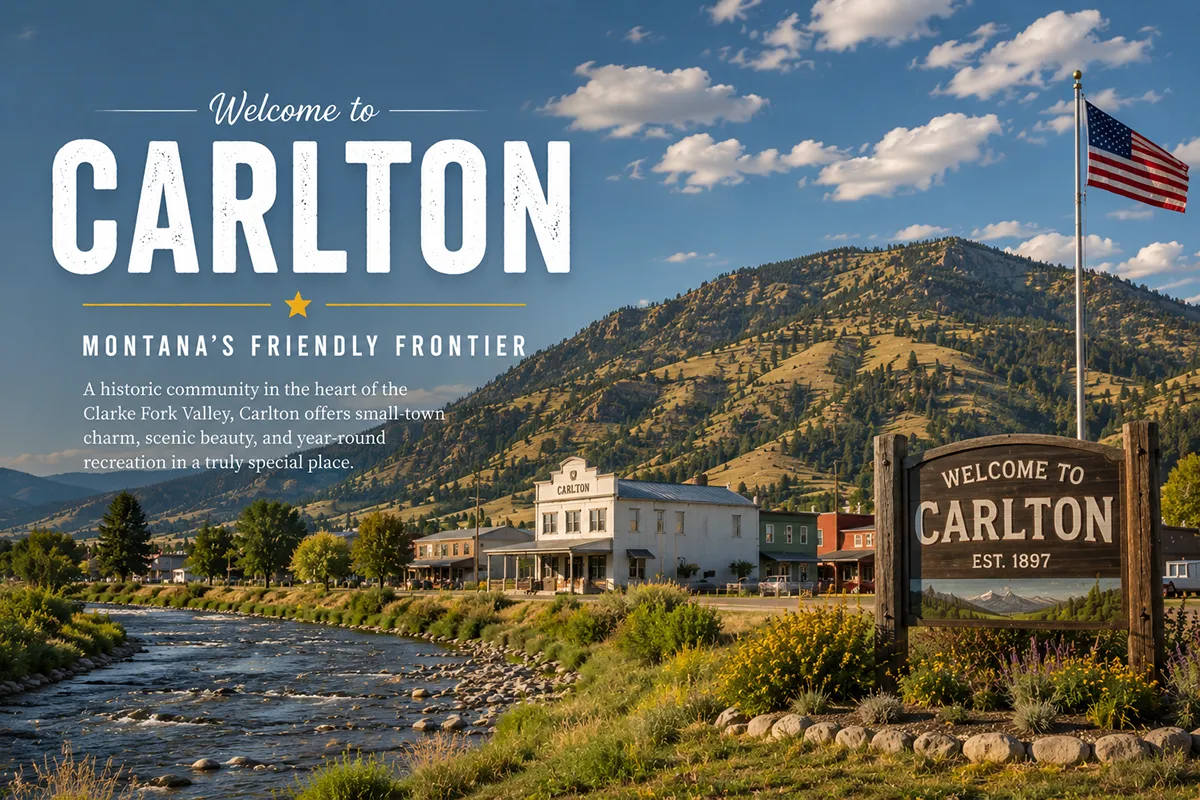
In the early 1860s, a homesteader named Robert Carlton put down roots along the eastern side of the Bitterroot River, about 17 miles south of what would become Missoula.
He built a grist mill to grind grain for the small but rapidly growing population of valley settlers.
He added a livery barn for travelers and freighters along what was then a primitive wagon track between Missoula and the southern Bitterroot Valley settlements at Stevensville, Corvallis, and Hamilton. He opened a trading post to provide flour, sugar, salt, ammunition, and the broader necessities of frontier life.
As the surrounding country filled in with homesteaders, the small community that grew up around Carlton’s enterprises added a school, a church, a cemetery, a post office, and eventually a railroad depot.
The town that emerged was named Carlton.
It was a substantively typical Bitterroot Valley settlement of the late 19th century — small, agricultural, anchored by the grain milling and provisioning enterprises that supported the surrounding farms and ranches.
Carlton never grew into a major Bitterroot Valley city like Hamilton (which Marcus Daly developed in the 1890s as the commercial center of Ravalli County) or Stevensville (which traces its founding back to St. Mary’s Mission in 1841 — the first permanent white settlement in Montana).
Carlton remained small.
Today, Carlton is a Census Designated Place of approximately 2,800 residents in southern Missoula County — the southern border of the community follows the Ravalli County line. The community functions primarily as a quiet rural-residential area along US Highway 93.
The post office that serves the CDP is in Florence, three miles south. Carlton’s contemporary character reflects its position as a substantively important transitional community between metro Missoula and the broader Bitterroot Valley to the south.
TL;DR
- Carlton (~2,800) is an unincorporated CDP in southern Missoula County in the northern Bitterroot Valley.
- The community is on US Highway 93, about 17 miles south of Missoula and 30 miles north of Hamilton.
- The southern border of Carlton follows the Ravalli County line.
- Founded in the early 1860s by homesteader Robert Carlton, who built a grist mill, livery barn, and trading post.
- The community subsequently developed a school, church, cemetery, post office, and railroad depot.
- The community’s contemporary post office is served via Florence, Montana (ZIP 59833), 3 miles south.
- The CDP covers approximately 6.18 square miles.
- The surrounding Bitterroot Valley is the ancestral home of the Salish (Flathead) people, the route of the Lewis & Clark Expedition in 1805 and 1806, and site of St. Mary’s Mission (1841) — Montana’s first permanent white settlement.
- Surrounded by the Bitterroot National Forest, Selway-Bitterroot Wilderness, and the Sapphire Mountains (with the Anaconda-Pintler Wilderness).
- Best for: northern Bitterroot Valley exploration, Missoula commuters, US-93 corridor travelers, Bitterroot National Forest access.
Liked this article?
Add Roaming Montana as a preferred source so you see more of our articles and guides on Google.
Carlton at a Glance
| Population (estimated) | ~2,800 |
|---|---|
| County | Missoula County (southern, on Ravalli County line) |
| Status | Unincorporated CDP |
| Region | Northern Bitterroot Valley |
| Elevation | 3,251 ft |
| Distance to Missoula | ~17 miles north on US-93 (~25 min) |
| Distance to Florence (post office) | ~3 miles south |
| Distance to Lolo | ~10 miles north |
| Distance to Stevensville | ~10 miles south |
| Distance to Victor | ~15 miles south |
| Distance to Corvallis | ~25 miles south |
| Distance to Hamilton (Ravalli County seat) | ~30 miles south |
| Distance to Darby | ~50 miles south |
| CDP area | 6.18 sq miles |
| Founded | Early 1860s |
| Town founder | Robert Carlton |
| Best for | Northern Bitterroot Valley, US-93 corridor, Bitterroot National Forest access |
What Makes Carlton Different
The story of Carlton is the story of the early Bitterroot Valley.
The Pre-Settlement Bitterroot
The Bitterroot Valley was the ancestral home of the Salish people — also commonly called the Flathead — for centuries before European-American arrival.
The Salish maintained substantial permanent villages along the Bitterroot River, hunted buffalo across the eastern Rocky Mountain Front, and gathered the bitterroot plant (Lewisia rediviva) — the small succulent root that gave the valley its name and that remains Montana’s state flower today.
In September 1805, the Lewis and Clark Expedition crossed through the Bitterroot Valley on the westward journey to the Pacific Coast.
Lewis and Clark again passed through the valley in 1806 on the return journey, stopping at Traveler’s Rest near the present-day junction of US-12 and US-93 (just north of Lolo).
The site is now Traveler’s Rest State Park — one of the most substantially documented Lewis and Clark camp sites along the entire transcontinental route.
In September 1841, Jesuit priest Father Pierre-Jean De Smet, accompanied by Iroquois Catholic guides who had brought Catholic theology to the Salish over decades of contact, established St. Mary’s Mission near the present-day site of Stevensville.
The mission was the first permanent white settlement in what would become Montana — 48 years before Montana achieved statehood.
The pattern of European-American settlement that would eventually produce Carlton began here, in the 1840s.
The Robert Carlton Story
By the early 1860s, the Bitterroot Valley was rapidly opening to homesteading. The Montana Territory had been organized in 1864. Mining at Bannack and Virginia City to the east had drawn waves of newcomers. Some pushed west into the Bitterroot Valley looking for agricultural land.
Robert Carlton was one of them.
Carlton arrived along the eastern bank of the Bitterroot River about 17 miles south of present-day Missoula in the early 1860s.
He filed a homestead claim. He built a grist mill to grind wheat and other grains for the surrounding small population of settlers. He added a livery barn for traveler and freight services. He opened a trading post to provide the broader necessities of frontier life.
The combination of services made Carlton’s homestead an unofficial commercial center for the surrounding country.
As more homesteaders arrived, the community that grew up around Carlton’s enterprises added the typical institutions of an organized 19th-century rural settlement: a school to educate the children, a church for religious services, a cemetery for the inevitable burials, a post office for mail service, and eventually a railroad depot as the Northern Pacific developed its main line through the Bitterroot Valley.
The community was formally named Carlton in recognition of its founder.
The Bitterroot’s “Big Ditch Boom” and Apple Boom
While Carlton itself remained small, the broader Bitterroot Valley experienced substantial booms in the early 20th century.
Marcus Daly — the Copper King who had built his fortune through the Anaconda Copper Mining Company — had invested heavily in the Bitterroot Valley starting in the 1880s.
Daly built a 24,000-square-foot Queen Anne mansion (still standing today in Hamilton as the Daly Mansion). He developed irrigation infrastructure. He helped establish Hamilton as Ravalli County’s commercial center.
After Daly’s death in 1900, his irrigation network was substantially expanded in what came to be called the “Big Ditch Boom” of 1906-1915.
East-Coast and Midwest speculators bought Bitterroot land at substantial markups, promising irrigation infrastructure that would support fruit orchards. The subsequent “Apple Boom” brought many unsuspecting farmers to the valley with promises of fertile land and good climate.
Many of those Apple Boom-era homesteaders settled in the country around Carlton.
Hamilton‘s population jumped from 1,800 in 1907 to 3,000 by 1911 during the boom. Many smaller communities — including Carlton — grew somewhat during the same period before contracting again after the Anaconda Copper Mining Company’s Hamilton mill closed in 1915 (having run out of accessible timber).
Contemporary Carlton
The contemporary Carlton community functions primarily as a rural-residential area along US Highway 93.
The substantial population growth of Missoula — particularly during the 1990s and early 2000s “new west” migration — extended into the northern Bitterroot Valley. Carlton became a substantively important bedroom community for Missoula commuters who wanted small-town character with reasonable access to urban services.
The community’s school, church, and cemetery still operate. The post office is now served via Florence three miles south.
For broader trip context, see my Montana cities and towns hub and Montana history overview.
The Top 6 Things to Do In & Around Carlton
1. US-93 Bitterroot Valley Drive
The signature regional drive.
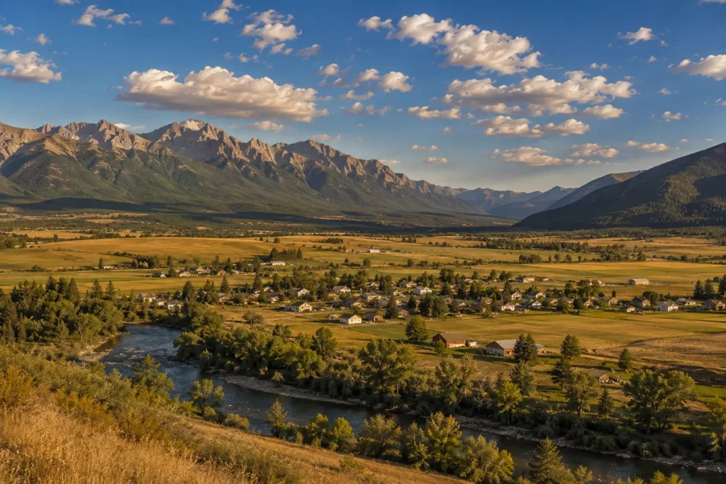
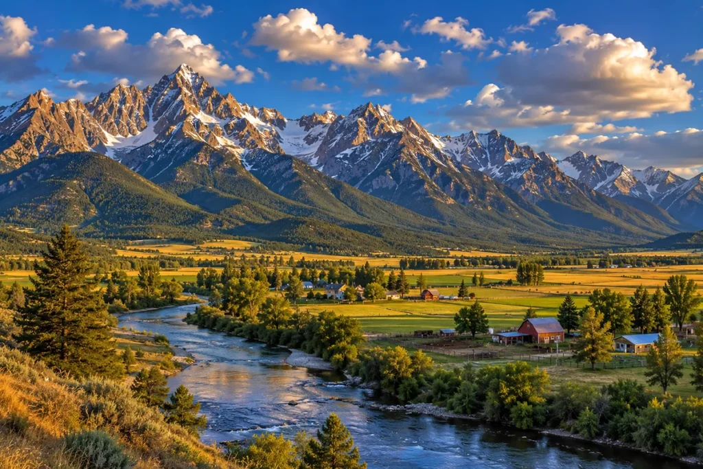
US Highway 93 between Missoula and Hamilton — passing directly through Carlton — is one of the most substantively scenic drives in western Montana. The Bitterroot Range rises dramatically on the western horizon. The Sapphire Mountains rise on the east.
The Bitterroot River winds through the valley bottom. Multiple communities along the way (Carlton, Florence, Stevensville, Victor, Corvallis, Hamilton, Darby) offer substantive stops.
2. Bitterroot National Forest
The Bitterroot National Forest covers approximately 1.6 million acres surrounding the valley.
The forest’s Selway-Bitterroot Wilderness Area — extending into Idaho — is one of the most substantial wilderness areas in the contiguous United States. Multiple trailheads accessible from secondary roads off US-93 near Carlton.
The forest offers extensive hiking, hunting, fishing, camping, and dispersed recreation.
3. Lolo Hot Springs
About 25 miles north and west of Carlton (via Lolo and US-12 west toward Idaho).
Lolo Hot Springs is one of Montana’s substantively important historic hot springs — visited by Lewis and Clark in 1805 and 1806. The modern resort offers swimming pools, hot soaking pools, lodging, and food service.
See best natural hot springs in Montana for broader regional context.
4. Traveler’s Rest State Park
Approximately 10 miles north of Carlton near Lolo.
The site where Lewis and Clark camped in 1805 and 1806 is now a Montana State Park with substantial interpretive infrastructure. Some of the only definitively documented Lewis and Clark Expedition artifacts in the entire historic trail system are here.
5. Daly Mansion (Hamilton)
About 30 miles south in Hamilton.
The 24,000-square-foot Daly Mansion is the Queen Anne-style residence that Copper King Marcus Daly built in the late 19th century. Twenty-five bedrooms. Seven fireplaces. Substantially restored and operated as a museum.
6. St. Mary’s Mission (Stevensville)
About 10 miles south in Stevensville.
The St. Mary’s Mission site preserves Montana’s first permanent white settlement (1841). The mission complex includes Father Anthony Ravalli’s restored log cabin and pharmacy, Chief Victor’s Cabin (now a Native American museum), DeSmet Park, and a modern visitor center.
Where to Stay
Carlton has limited dedicated lodging.
Most travelers base in Missoula (17 miles north) or in the broader Bitterroot Valley communities.
| Lodging | Vibe | Price | Best For |
|---|---|---|---|
| Missoula hotels (25 min N) | Full city selection — see Hotels in Missoula | $130–280 | Most travelers |
| Hamilton lodging (30 min S) | Ravalli County seat | $120–220 | Bitterroot-focused |
| Stevensville options (15 min S) | Smaller community | $110–200 | Quieter base |
| Vacation rentals (Carlton/Florence area) | Bitterroot River cabins | $130–280 | Anglers, longer visits |
Where to Eat
Carlton has limited dining within the community itself.
- Missoula restaurants (25 min N) — extensive city variety; see Missoula breweries for craft beer
- Hamilton dining (30 min S) — full Ravalli County selection
- Florence options (5 min S) — small-town cafes
- Stevensville restaurants (15 min S) — additional choices
- See best restaurants in Montana for broader regional context
Getting There & Around
From Missoula: 17 miles south on US-93, about 25 minutes.
From Hamilton: 30 miles north on US-93, about 35 minutes.
From Florence: 3 miles north on US-93, about 5 minutes.
From Lolo: 10 miles south on US-93, about 12 minutes.
From Stevensville: 10 miles north on US-93, about 12 minutes.
Cell service: Generally available throughout Carlton and along US-93.
When to Visit
Summer (June-August): Best Bitterroot Valley weather; full access to Bitterroot National Forest; warmest temperatures.
Fall (September-October): Outstanding Bitterroot Valley fall color; cooler temperatures; harvest activity at remaining valley orchards.
Winter (December-March): Inversion-prone weather can be challenging in the valley bottom; light snow typical at valley elevations.
Spring (April-May): Bitterroot River runoff; the valley greens up; cherry blossoms at remaining orchards.
Personal Tips
Use Carlton as a base for Bitterroot exploration. The community’s central position between Missoula and Hamilton makes it a substantively practical base for exploring the broader valley, the Bitterroot National Forest, and the Lewis and Clark sites.
Don’t expect a town center. Carlton is functionally a rural-residential area rather than a chartered community with a substantial downtown. Don’t drive in expecting a Main Street walking tour. The historical Carlton commercial buildings were largely lost decades ago.
Read about the Apple Boom. Understanding the early-20th-century Big Ditch Boom (1906-1915) and the related Apple Boom adds substantial context to the Bitterroot Valley’s contemporary agricultural landscape. Many of the irrigation canals visible from US-93 date to this era.
Combine with Lolo Hot Springs and Traveler’s Rest. A morning at the Lewis and Clark sites near Lolo followed by an afternoon soak at Lolo Hot Springs and an evening dinner in Missoula — with Carlton as the operational base — makes a substantive Bitterroot Valley day.
Drive the full US-93 corridor. The complete drive from Missoula through Carlton, Florence, Stevensville, Victor, Corvallis, and Hamilton to Darby is one of the most substantive valley drives in Montana — particularly substantive when timed for fall color or spring greens.
Use Missoula for city services. Carlton is 25 minutes from full urban infrastructure — hotels, restaurants, hospitals, airports. The convenience makes Carlton a substantively practical base for travelers who want rural character without sacrificing access.
Carlton Quick Facts
| Population (estimated) | ~2,800 | | County | Missoula County | | Status | Unincorporated CDP | | Elevation | 3,251 ft | | CDP area | 6.18 sq miles | | Founded | Early 1860s | | Founder | Robert Carlton | | Founding enterprises | Grist mill, livery barn, trading post | | Subsequent institutions | School, church, cemetery, post office, railroad depot | | Post office served via | Florence, MT (ZIP 59833) | | Distance to Florence (post office) | 3 miles south | | Distance to Missoula | 17 miles north | | Distance to Hamilton | 30 miles south | | County line | Ravalli County (immediately to the south) | | Surrounding wilderness | Selway-Bitterroot, Anaconda-Pintler | | Surrounding national forest | Bitterroot National Forest | | Region’s first permanent white settlement | St. Mary’s Mission, 1841 (Stevensville) | | Lewis and Clark valley crossings | 1805 (westbound), 1806 (eastbound) | | Average summer high | 84°F | | Average winter low | 16°F |
Conclusion
Carlton is a 2,800-person unincorporated community in southern Missoula County with substantively important Bitterroot Valley heritage.
The community’s founding by Robert Carlton in the early 1860s — and the typical pattern of small-Bitterroot-Valley-settlement development that followed (grist mill, livery barn, trading post; later school, church, cemetery, post office, depot) — represents one of the more substantive but unheralded stories of how the broader Bitterroot Valley was settled.
The valley’s deeper Indigenous heritage (Salish ancestral land), Catholic mission heritage (St. Mary’s Mission 1841), and Copper King heritage (Marcus Daly’s late-19th-century Bitterroot investments) all surround Carlton today.
For travelers exploring the Missoula area and the broader Hamilton-anchored Bitterroot Valley, Carlton functions as a substantively useful base in the middle of one of Montana’s most substantively scenic valleys.
Have a Carlton question? Drop it in the comments — I read every one.
Frequently Asked Questions
Is Carlton Montana worth visiting?
Carlton is worth a stop primarily as a substantively practical base for exploring the northern Bitterroot Valley — including Lolo (with Lolo Hot Springs and Traveler’s Rest State Park), Stevensville (with St. Mary’s Mission, Montana’s first white settlement), Hamilton (with the Daly Mansion and the Ravalli County Museum), and the surrounding Bitterroot National Forest and Selway-Bitterroot Wilderness. The community itself is small and rural-residential rather than a traditional tourism destination.
Who founded Carlton Montana?
Carlton was founded in the early 1860s by Robert Carlton, a homesteader who built a grist mill, a livery barn, and a trading post along the eastern bank of the Bitterroot River about 17 miles south of present-day Missoula. As more homesteaders arrived in the surrounding country, the small community added a school, church, cemetery, post office, and eventually a railroad depot. The community was formally named Carlton in recognition of its founder.
Where is Carlton Montana located?
Carlton is located in southern Missoula County in the northern Bitterroot Valley of western Montana — not in Ravalli County, although the southern border of the Carlton CDP follows the Ravalli County line. The community is on US Highway 93, about 17 miles south of Missoula and 30 miles north of Hamilton (the Ravalli County seat). The post office that serves Carlton is in Florence, 3 miles south (ZIP 59833).
How big is Carlton Montana?
Carlton is an unincorporated Census Designated Place (CDP) with approximately 2,800 residents, covering approximately 6.18 square miles in southern Missoula County. The community functions primarily as a rural-residential area along US Highway 93, with substantial commuter ties to nearby Missoula.
What is the Bitterroot Valley?
The Bitterroot Valley is a substantially long valley in western Montana extending approximately 95 miles from Lost Trail Pass at the Idaho border in the south to the confluence of the Bitterroot River with the Clark Fork River near Missoula in the north. The valley is bounded by the Bitterroot Range to the west (with the Selway-Bitterroot Wilderness Area) and the Sapphire Mountains to the east (with the Anaconda-Pintler Wilderness Area). The valley is the ancestral home of the Salish (Flathead) people, the route of the Lewis and Clark Expedition in 1805 and 1806, and the site of Montana’s first permanent white settlement at St. Mary’s Mission (1841) near present-day Stevensville. The valley’s name comes from the bitterroot plant (Lewisia rediviva) that the Salish historically gathered and that remains Montana’s state flower.
How far is Carlton from Missoula Montana?
Carlton is approximately 17 miles south of Missoula on US Highway 93 — about a 25-minute drive. Missoula is the largest city in western Montana and serves as the practical urban anchor for Carlton residents and visitors, with full city services including the University of Montana, Missoula International Airport, multiple hospitals, extensive Missoula breweries, restaurants, Hotels in Missoula, and shopping. See things to do in Missoula for broader context.
What is the Big Ditch Boom?
The “Big Ditch Boom” was an early-20th-century irrigation development era in the Bitterroot Valley (1906-1915) during which East-Coast and Midwest speculators invested substantial money to build the “Big Ditch” irrigation system based on infrastructure that Copper King Marcus Daly had begun developing before his death in 1900. The subsequent “Apple Boom” brought many unsuspecting farmers to the valley with promises of fertile land and good climate for growing fruit trees (primarily apples). Many Apple Boom-era homesteaders settled in the country around Carlton and the broader northern Bitterroot Valley. The booms supported substantial valley population growth — including Hamilton‘s jump from 1,800 in 1907 to 3,000 by 1911 — before contracting again after the Anaconda Copper Mining Company’s Hamilton mill closed in 1915.