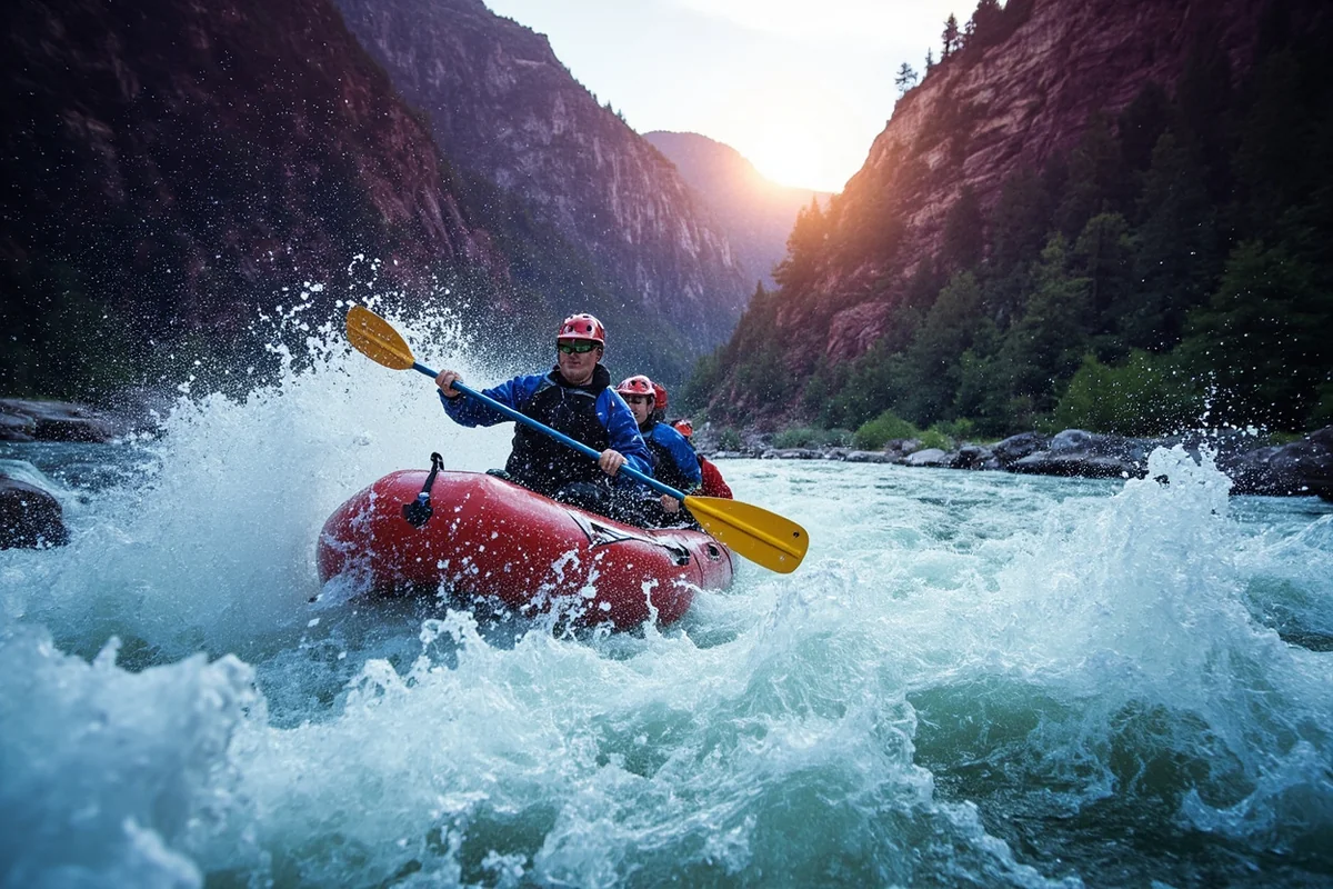
I’ve bounced through the Tumbleweed rapid in the Alberton Gorge with a raft full of soaked, laughing strangers, and I’ve also stood on a quiet bluff east of Missoula watching a dam disappear and a river get its confluence back. Both moments happened on the exact same river.
- The Clark Fork is Montana’s largest river by volume, running from Butte to Lake Pend Oreille in Idaho.
- The Alberton Gorge, 30–45 minutes west of Missoula, is the state’s most popular whitewater trip — Class II–III rapids that are exciting but manageable for beginners.
- Below Missoula, calmer stretches like Tarkio Canyon offer easy scenic floating and solid fishing.
- The river’s upper stretch, from Butte to Missoula, is also part of the largest and most expensive Superfund complex in the United States — a piece of history almost no rafting site mentions.
- The 2008 removal of Milltown Dam near Missoula reunited the Clark Fork and Blackfoot Rivers for the first time in a century, and it’s one of the best river restoration stories in the American West.
Liked this article?
Add Roaming Montana as a preferred source so you see more of our articles and guides on Google.
A River With Two Very Different Stories
Most people who’ve heard of the Clark Fork know it for one thing: the Alberton Gorge, a whitewater run just west of Missoula that’s become one of Montana’s signature summer adventures.
That reputation is well earned. But it’s only half the river’s story.
The Clark Fork begins as Blacktail Creek near Pipestone Pass outside Butte, on the Continental Divide. From there it flows almost 300 miles through some of Montana’s most productive mining country, past Missoula, and eventually into Lake Pend Oreille in Idaho.
It’s Montana’s largest river by volume — bigger than the Missouri or Yellowstone in terms of actual water flow, even though it’s not the longest.
That headwaters stretch, from Butte through Anaconda toward Missoula, carries a legacy most tourism content skips entirely.
I think that history matters, so this guide covers both sides of the Clark Fork: the fun, splashy recreation the river is famous for, and the century of mining contamination and restoration work that shaped the water flowing under your raft today.
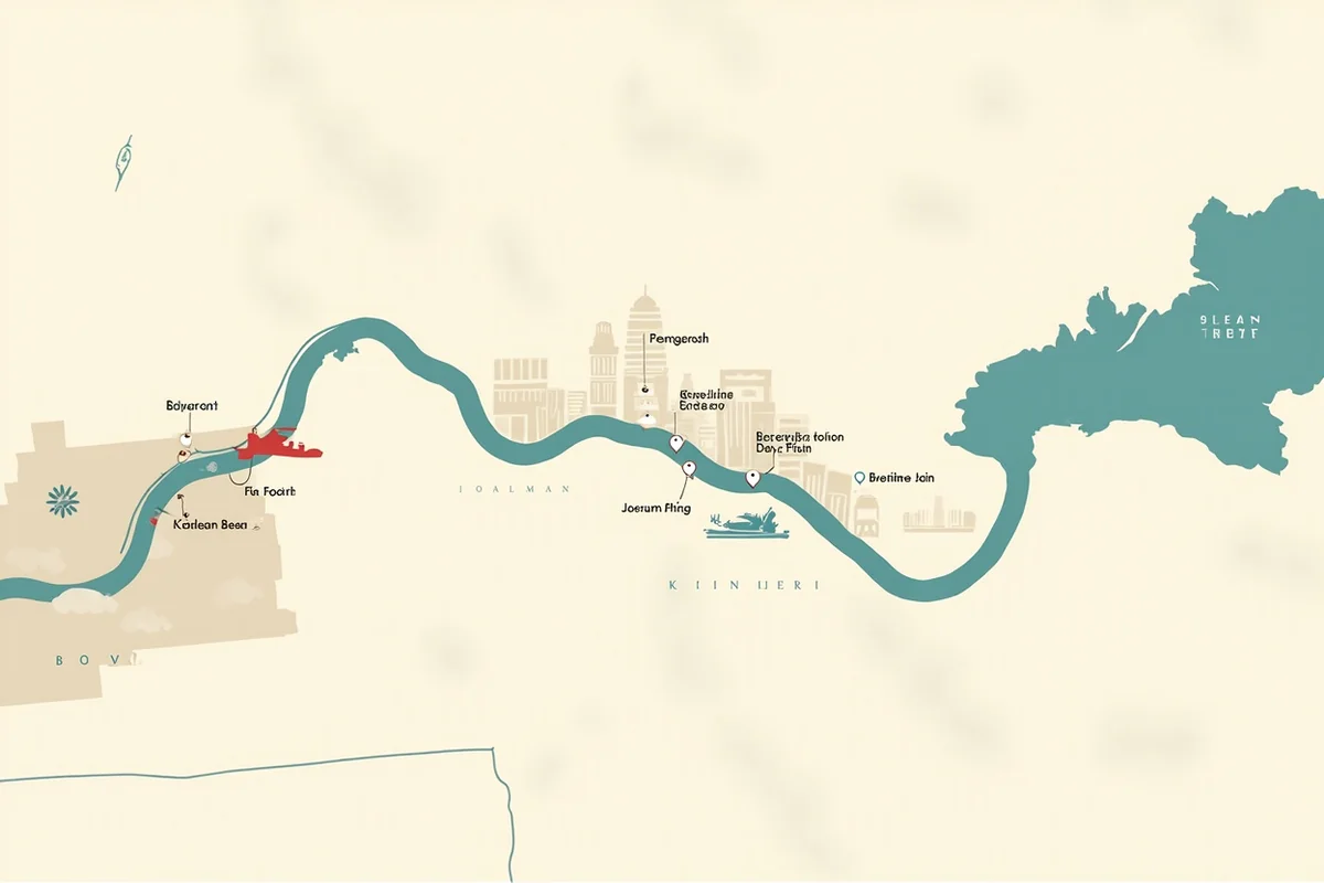
Floating and Rafting the Alberton Gorge
Alberton Gorge sits about 30 to 45 minutes west of Missoula off Interstate 90, and it’s genuinely one of the best beginner-friendly whitewater trips I’ve done anywhere in the state.
The Gorge is typically split into an Upper section (Cyr Bridge to Sandy Beaches) and a Lower section (Sandy Beaches through Tumbleweed and Split Rock down to Tarkio).
Most guided trips run the full stretch, covering around 12 miles and a series of Class II and III rapids with names like Tumbleweed, Fang, and Cliffside.
I ran this stretch on a hot July afternoon a few summers back, and the combination of big splashy waves, warm water, and calm pools in between made it feel far less intimidating than the rapid names suggest.
It’s genuinely appropriate for kids as young as six during summer flows, which isn’t something I’d say about most Class III water in this state.
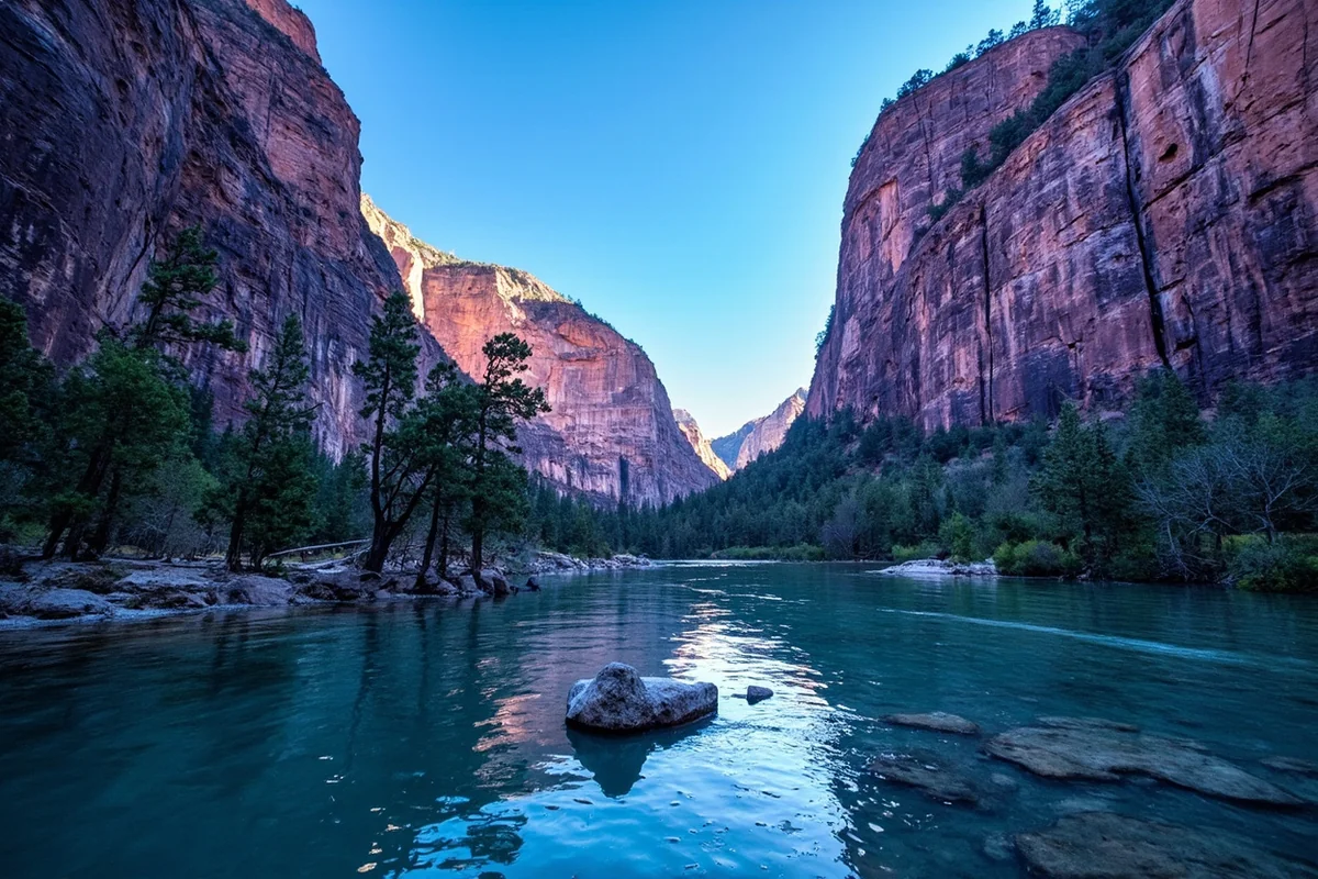
The scenery holds up its end of the deal too. Purple-toned cliffs rise straight out of the river in places, and it’s common to spot osprey, eagles, deer, and otters along the banks — our Montana osprey and Montana otters pages cover both in more depth.
Peak season runs late June through early August, though the Gorge is runnable most of the year except during the coldest winter stretches when ice dams can form.
If you’re going without a guide, Montana’s Stream Access Law applies here just like everywhere else, and you’ll want a Montana conservation license if you’re launching from state land access points.
Beyond the Gorge: Scenic Floating and Fishing Near Missoula
Not every stretch of the Clark Fork is whitewater, and that’s a good thing if rapids aren’t your goal.
Tarkio Canyon, just past the Gorge’s takeout, offers a genuinely peaceful scenic float through canyon walls without a single rapid to worry about — a good option for families with younger kids or anyone who just wants to watch the scenery drift by.
Closer to town, the river runs directly through downtown Missoula, and it’s easy access for a quick evening float or a stand-up paddleboard session after work.
Fishing picks up considerably downstream of the Blackfoot and Bitterroot confluences, where the added water volume and cooler tributary flows create better trout habitat.
If you’re planning multiple days in the area, Missoula makes an obvious base camp, and there are several good RV parks in Missoula within easy reach of the river. A handful of solid Missoula breweries make a fitting reward after a day on the water.
The River’s Hidden History: Butte, Copper, and the Largest Superfund Site in America
Here’s the part of the Clark Fork story that almost no rafting company mentions, and I think it’s genuinely important context for understanding this river.
Starting in the 1860s, the area around Butte became one of the richest copper mining districts in the world. Hundreds of mines burrowed beneath the city over the following decades, fueling a copper boom that helped power the electrification of America and made a handful of “Copper King” families enormously wealthy.
For decades, waste rock and tailings from mining and smelting operations near Butte and Anaconda accumulated along the region’s waterways.
In 1908, a massive flood — a hundred-year event — washed millions of tons of that contaminated sediment down the Clark Fork. Much of it settled behind a dam that had been completed just months earlier at Milltown, a small community near the confluence of the Clark Fork and Blackfoot Rivers.
That sediment sat there for most of the 20th century. In 1981, routine water testing found arsenic contamination in Milltown-area drinking wells, and the source was traced back to the buildup of mining waste behind the dam.
In 1983, the EPA designated the Silver Bow Creek/Butte Area, the Anaconda Smelter site, and the Milltown Reservoir Sediments site as Superfund sites.
Together, these three sites make up what’s now considered the largest and most expensive Superfund complex in the entire United States, stretching across roughly 120 miles of the Clark Fork from Butte to Missoula.
Atlantic Richfield Company (ARCO), which had acquired the mining company responsible for the contamination in the 1970s, became legally responsible for funding the cleanup. BP later acquired ARCO in 2000 and continues to fund remediation work today.
I want to be honest about something here: this isn’t ancient history. Cleanup work along parts of the upper Clark Fork, particularly a stretch known as Reach A between Warm Springs and Garrison, is still ongoing.
Scientific monitoring shows real improvement in water quality over the past several decades, but researchers note that the ecological health of parts of the river remains an open question even after significant investment.
Milltown Dam: How a River Got Its Confluence Back
The most dramatic chapter of this story is the removal of Milltown Dam itself, and it’s worth knowing before you visit the area.
After decades of study, litigation, and public debate, the EPA finalized a cleanup plan in 2004 that called for removing both the dam and roughly 2.6 million cubic yards of contaminated sediment from behind it. Work began in 2006 with a drawdown of the reservoir.
The contaminated material was hauled by rail to a disposal site near the small town of Opportunity, close to Anaconda — a decision that wasn’t without controversy among residents there, since Opportunity absorbed much of the waste while receiving a comparatively small share of the overall cleanup investment.
By 2008, the dam removal had progressed far enough that the Clark Fork and Blackfoot Rivers flowed freely into each other for the first time in a hundred years, restoring fish passage between the two systems.
I was among a crowd of Missoula-area residents who came out to watch parts of this process, and there’s something genuinely moving about watching a river visibly reclaim its original path.
Milltown State Park opened on the former reservoir site in 2018, and it’s one of the only former Superfund sites in the country to become public parkland.
Today it offers walking trails, fishing access, and interpretive displays explaining the whole saga — a worthwhile stop if you’re driving between Missoula and the Blackfoot corridor.
Making Your Base Camp: Missoula
If you’re building a Clark Fork trip around both the Gorge and the calmer stretches near town, Missoula is the obvious hub. It sits at the meeting point of several rivers — the Clark Fork, Bitterroot, and Blackfoot all converge nearby — which is part of why the fishing and floating options here are so varied.
Heading east from Missoula, towns like Clinton sit along Rock Creek, a well-known tributary trout stream, while Deer Lodge and Anaconda anchor the upper river’s mining history if you want to see the Superfund story firsthand. West toward the Idaho border, Superior and Thompson Falls offer quieter access to the lower Clark Fork.
I’d genuinely recommend splitting a longer Montana trip so you experience both ends of this river’s personality. Spend a day rafting the Gorge for the adrenaline, then spend a slower afternoon driving the upper valley toward Butte and Anaconda to see where the water actually starts and what it’s been through to get here.
Personal Tips / What I Wish I Knew
Book Alberton Gorge trips on weekday mornings if you can. Summer weekends get genuinely crowded with multiple outfitters running trips back to back — I’ve had a noticeably better experience floating on a Tuesday.
Bring water shoes, not flip-flops. The put-in and take-out areas involve rocky, uneven footing, and I’ve seen more than one pair of sandals lost to the current.
Don’t skip Milltown State Park just because it sounds like a Superfund site. It’s genuinely become one of the more pleasant, low-key river parks in the Missoula area, and understanding its history adds real depth to a Clark Fork trip.
Check current flows before a DIY float. Alberton Gorge changes character dramatically between spring high water and late-summer lows — what’s playful in July can be genuinely serious whitewater in June.
Respect the Stream Access Law, but be aware of ranch land upstream. Much of the upper Clark Fork corridor between Butte and Missoula runs through private agricultural land, so plan your access points at established fishing access sites.
Practical Info: Clark Fork River at a Glance
| Section | Best For | Difficulty | Notes |
|---|---|---|---|
| Butte to Deer Lodge | History, driving tour | N/A | Headwaters and Superfund cleanup zone |
| Milltown State Park | Walking, fishing, history | Easy | Former Superfund site, restored in 2018 |
| Through Missoula | Easy floating, paddleboarding | Easy | Convenient urban access |
| Alberton Gorge | Whitewater rafting | Class II–III | Best late June–early August |
| Tarkio Canyon | Scenic floating | Easy | No rapids, good for families |
| Superior to Idaho border | Fishing, quiet floating | Easy–moderate | Less crowded, larger water volume |
[Verify current Superfund cleanup status and Milltown State Park hours directly with Montana DEQ and FWP before visiting, as remediation work is ongoing in places.]
Final Thoughts
The Clark Fork is proof that a river can hold two completely different stories at once — a genuinely fun, family-friendly whitewater trip in one stretch, and one of the most significant environmental cleanup efforts in American history in another.
I’d encourage you to raft the Gorge, but also take twenty minutes at Milltown State Park to understand what this river has actually been through over the past century.
For how the Clark Fork fits alongside the rest of the state’s best water, check out our full guide to the best rivers in Montana.
Pin this guide before your trip, and let me know in the comments if you’ve floated the Gorge yourself.