Two grizzly bear biologists fighting to save a river you’ve probably never heard of accidentally created one of the most important environmental laws in American history. That river runs right along the edge of Glacier National Park.
- The Middle Fork of the Flathead runs about 92 miles along Glacier National Park’s southern boundary, and it’s Montana’s best true whitewater river.
- The fight to protect it in the 1950s directly inspired the federal Wild and Scenic Rivers Act of 1968.
- The popular day-trip stretch, Moccasin Creek to West Glacier, has real Class II–III rapids and requires no permit, unlike the Smith River.
- A truly wild upper stretch exists too, reachable only by small plane or a multi-day hike into the Bob Marshall Wilderness.
- I’ll also clear up a persistent myth about which river the movie “The River Wild” was actually filmed on.
Liked this article?
Add Roaming Montana as a preferred source so you see more of our articles and guides on Google.
The River That Created an Entire Federal Law
I want to start with a story most rafters on this river have never heard, even after paddling it themselves.
In the 1950s, a dam was proposed on the Middle Fork of the Flathead called the Spruce Park Dam. It would have flooded a stretch of river that also happened to be prime grizzly bear habitat.
Two brothers, Frank and John Craighead, led the opposition. They were wildlife biologists, best known today for their pioneering grizzly bear research in Yellowstone, and they fought this dam using science and public writing rather than just local protest.
Through articles published in 1955 and 1957, the Craigheads developed the actual concept and classification system for protecting free-flowing rivers. That framework became the direct basis for the National Wild and Scenic Rivers Act, passed by Congress in 1968.
The Middle Fork itself was formally designated under that same act in 1976, running from its headwaters all the way to its confluence with the South Fork.
I think that’s a remarkable thing to know before you ever dip a paddle in this water: an entire national system protecting rivers across the whole country exists partly because of a fight over this specific stretch of Montana.
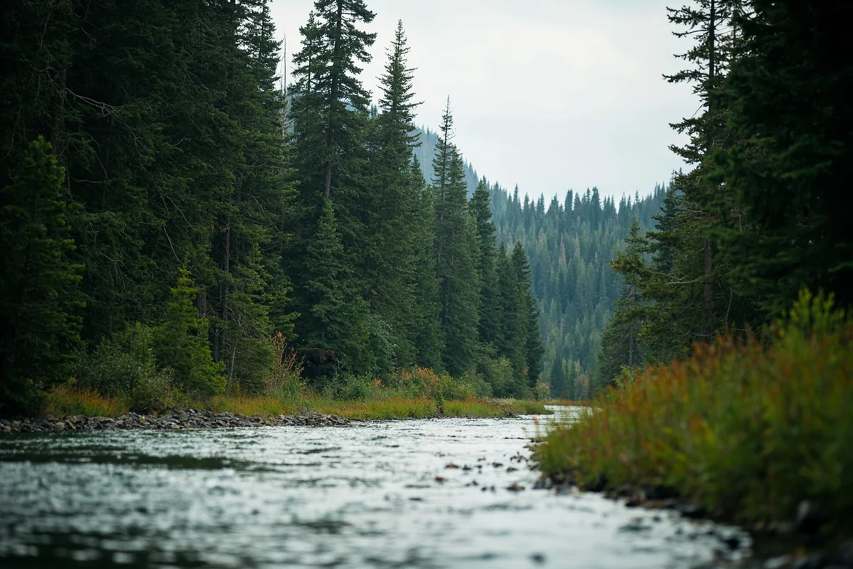
What strikes me most about this story is how directly it connects to what you’ll actually see on a float today. The Craigheads weren’t fighting for scenery alone — they were fighting to keep a functioning grizzly bear corridor intact, connecting the Bob Marshall Wilderness to Glacier National Park.
That’s still exactly what this river corridor does. Paddling through here, you’re moving through one continuous, undammed wildlife highway that their research helped preserve.
Running the Whitewater: Moccasin Creek to West Glacier
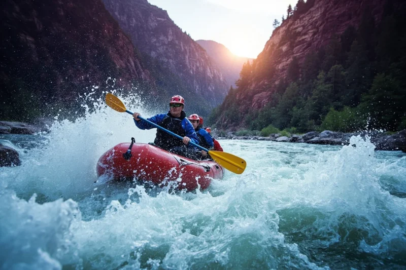
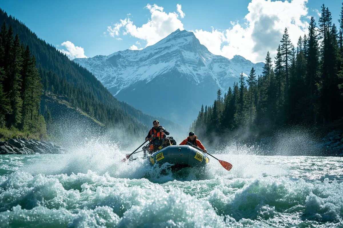
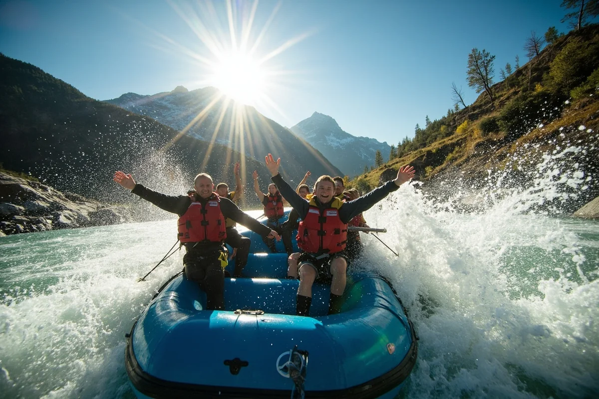
This is the stretch nearly everyone means when they talk about rafting the Middle Fork, and it’s genuinely the best single day of whitewater in Montana.
The put-in at Moccasin Creek Access, right off Highway 2, gets busy fast in summer. I’d recommend arriving early or booking a guided trip that handles logistics for you, since the boat ramp itself is a tight, high-traffic spot during peak season.
From there, you’ll run a long series of named rapids in order: Tunnel, Bonecrusher, Washboard, Big Squeeze, Jaws, Pinball, Repeater, The Notch, and Pumphouse.
It sounds intimidating on paper, and at high spring flows it genuinely is. At lower late-summer flows, though, several of these rapids drop to a moderate Class II or III, and experienced paddlers who’ve run it at both extremes will tell you Jaws and Pinball aren’t quite the beasts their names suggest once water levels come down.
I ran this stretch myself on a warm afternoon in early August, when flows had dropped enough that our guide called it a “friendly” day on the water.
Even at that gentler level, Bonecrusher lived up to its name with a solid jolt of cold spray, and by the time we hit Jaws I’d stopped worrying about the names entirely and just started enjoying the ride.
Glacier’s peaks stayed visible over our shoulders almost the entire float, which is a genuinely rare thing for a whitewater trip — most rivers this exciting don’t come with scenery this good attached.
I want to be honest about one tradeoff here: a busy BNSF rail line runs along much of the river-left bank for this entire stretch, and freight trains pass through regularly enough that conversations get interrupted a few times over a multi-hour float. It doesn’t ruin the trip, but it’s not the silent wilderness experience some visitors expect based on photos alone.
No permit is required to run this stretch on your own, which is a real point of contrast with Montana’s other famous permitted float, the Smith River.
You will want to clean, drain, and dry your boat before launching, since this river’s water quality is genuinely outstanding and everyone benefits from keeping invasive species out of it — our page on boating in Montana covers this and other statewide rules in more depth.
The Wilderness Run: Schafer Meadows and Beyond
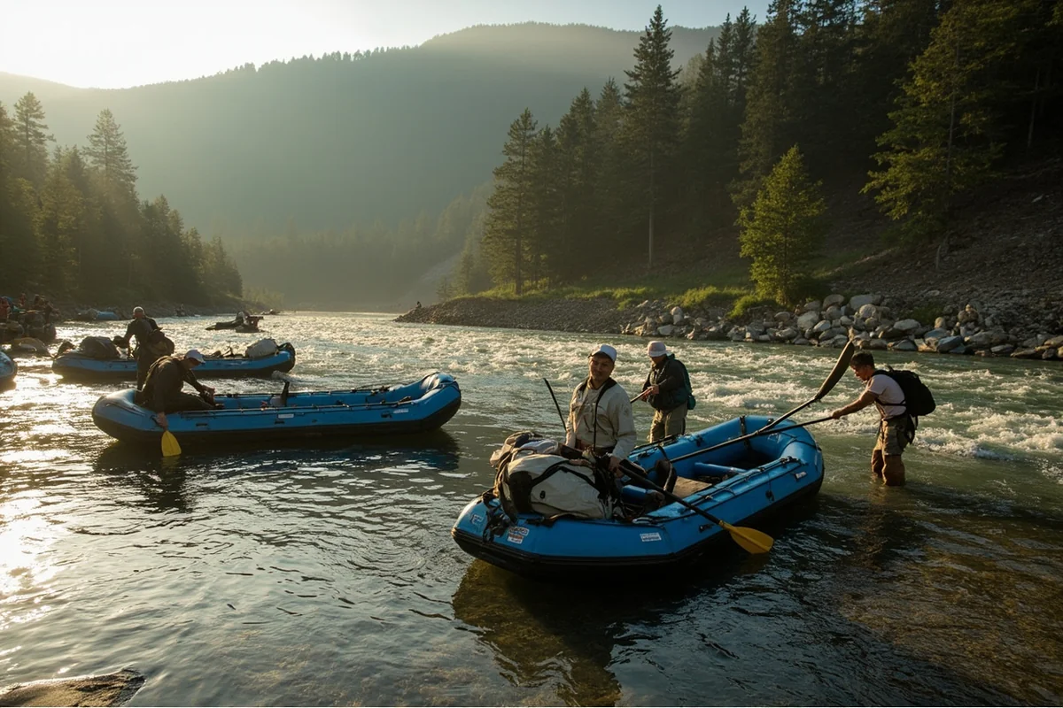
If the day-trip stretch sounds too crowded, there’s a genuinely wild alternative most visitors never consider: the upper Middle Fork, deep inside the Bob Marshall Wilderness.
You can’t drive to this put-in. Most people fly in on a small bush plane out of Kalispell, a roughly 20-minute flight to a remote airstrip near Schafer Meadows, then hike about a quarter mile through mud to reach the river itself. Gear space is limited on these small planes, so plan accordingly if you’re bringing a full multi-day kit.
About three miles downstream from the Schafer put-in, a two-mile stretch called the Three Forks Rapid series begins — mostly read-and-run water, though it can require careful scouting at higher flows, and river conditions shift meaningfully year to year based on snowpack and deadfall.
This upper stretch runs through true, roadless wilderness the entire way, traversing both the Bob Marshall and Great Bear Wilderness areas before the river eventually reaches the more developed lower sections near Glacier’s boundary.
If solitude and a genuine backcountry experience matter more to you than convenience, this is the version of the Middle Fork worth the extra planning.
Nyack Flats and the Scenic Lower River
Between the whitewater and the wilderness run sits a quieter option: the stretch from Cascadilla down toward West Glacier, often called Nyack Flats.
Here the river goes flat and wide, braiding into multiple channels with occasional log jams, especially at low to moderate flows. Glacier National Park rises on one side and the Bob Marshall Wilderness on the other, and it’s a genuinely gorgeous stretch for a mellow scenic float if whitewater isn’t your goal.
Setting the Record Straight on “The River Wild”
I want to clear up something that nearly every rafting company’s website gets slightly wrong, sometimes on purpose.
The 1994 thriller “The River Wild,” starring Meryl Streep, is often described as having been filmed on the Middle Fork of the Flathead, and some scenic footage genuinely was shot here.
But the film’s big whitewater action sequences were actually filmed on Montana’s Kootenai River, under a special agreement with the Kootenai people, who consider that specific location sacred ground.
Part of that original agreement reportedly required the exact filming location to never be publicly disclosed, which is part of why the story around this movie has gotten muddled over the years.
Regardless of the mix-up, this river’s own scenery is dramatic enough that it doesn’t need Hollywood’s help to sell itself.
Fishing the Middle Fork
Beyond rafting, this river holds rainbow, cutthroat, and whitefish, along with native bull trout, which are a federally protected species. If you hook one, you’re required to release it immediately without unnecessary handling — check current Montana fishing regulations before your trip, since bull trout rules can be stricter here than elsewhere in the state.
The upper wilderness stretch near Schafer Meadows offers some of the least-pressured cutthroat fishing I’ve encountered anywhere in the state, largely because so few anglers make the effort to fly or hike in.
If you do have the means to get up there, a multi-day fishing float combined with the Three Forks whitewater makes for one of Montana’s most complete backcountry river experiences.
Wildlife sightings are common along quieter stretches too. Ospreys hunt these waters regularly — see our Montana osprey page for more — and river otters occasionally show up in slower pools, covered on our Montana otters page.
Keep an eye on the gravel bars in early morning and evening, when deer and the occasional moose come down to drink.
Making Your Base Camp
West Glacier is the obvious hub for a Middle Fork trip, sitting right at the edge of Glacier National Park with easy access to the Moccasin Creek put-in and several outfitters.
If you’re extending your trip into the park itself, our guide to where to stay in Glacier National Park covers lodging options in more depth, and our roundup of the best hikes in Glacier pairs well with a rafting day if you want to split your visit between water and trail.
Personal Tips / What I Wish I Knew
Book guided trips well ahead for peak summer dates. The most popular whitewater window, especially weekends in July, fills up fast with four established outfitters all competing for the same put-in slots.
Ask about current water levels before choosing your trip length. Spring and early summer flows mean genuinely serious Class III–IV water; by late August, flows can drop to a fraction of peak levels, making for a much gentler, more family-friendly ride.
Don’t expect total wilderness silence on the popular stretch. If the sound of passing freight trains would bother you, consider the upper wilderness run or the quieter Nyack Flats stretch instead.
Check gear weight limits early if you’re flying into Schafer Meadows. Bush plane cargo space is genuinely limited, and last-minute repacking at the airstrip isn’t fun.
Bring bear awareness gear regardless of which stretch you run. This entire river corridor is real grizzly habitat, the same landscape that originally inspired its federal protection — review our Montana bear guide before any riverside camping trip.
Pack layers even in midsummer. Mountain weather along this corridor changes fast, and I’ve been caught in a genuine downpour on what started as a cloudless August morning. A dry bag for a spare layer is worth the extra few pounds.
Practical Info: Middle Fork Flathead at a Glance
| Section | Best For | Difficulty | Access |
|---|---|---|---|
| Schafer Meadows to Three Forks | Wilderness rafting/packrafting | Class II–III, remote | Fly-in or multi-day hike only |
| Cascadilla to West Glacier (Nyack Flats) | Scenic floating | Easy, flat water | Drivable access points |
| Moccasin Creek to West Glacier | Whitewater rafting | Class II–III (higher at peak flow) | Highway 2, most popular stretch |
[Verify current outfitter availability, water levels, and Forest Service regulations before your trip, as conditions and rules can change seasonally.]
Final Thoughts
The Middle Fork gives you a genuine choice: book a guided whitewater day that requires zero planning, or commit to a wilderness trip that requires a bush plane and real backcountry skills.
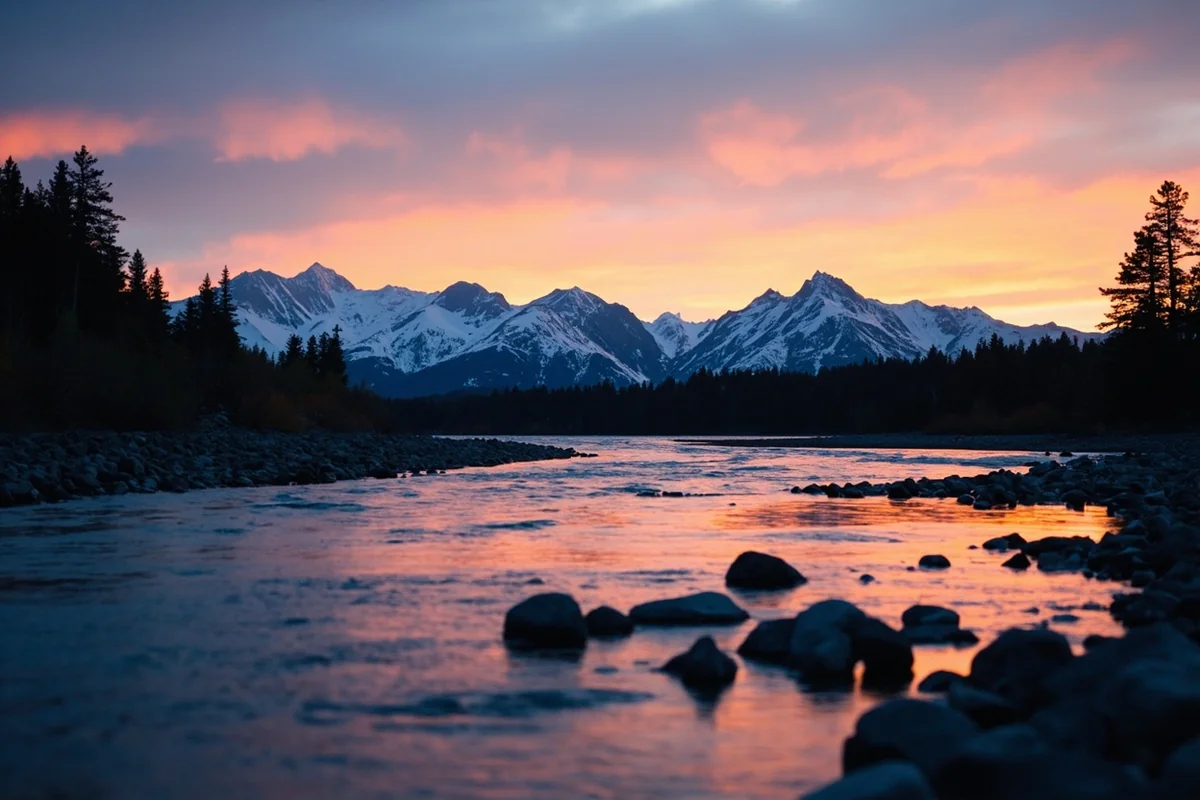
Either way, you’re floating a river that quietly reshaped how the entire country protects its waterways, running right alongside one of the most spectacular national parks in the system.
For how the Middle Fork fits alongside the rest of the state’s best rivers, check out our full guide to the best rivers in Montana.
Pin this guide before your trip, and let me know in the comments which stretch you’re planning to run.