Lewis and Clark once stood at a river junction in north-central Montana and simply couldn’t agree on which fork was actually the Missouri. Getting it wrong would have meant losing their entire expedition’s timeline. This river was the other option.
- The Marias River runs about 210 miles from the confluence of Cut Bank Creek and the Two Medicine River near Glacier National Park to its meeting with the Missouri near Loma.
- In June 1805, this river presented Lewis and Clark with one of the most consequential navigational decisions of their entire journey.
- The river also carries a much darker piece of history: the site of one of the deadliest incidents of the Indian Wars, a history I want to tell honestly rather than skip past.
- Tiber Dam, completed in 1956, created Lake Elwell and once supplied water to a Cold War missile defense site.
- I’ll cover the fishing, floating, and the full history of a river most Montana visitors drive past without a second thought.
Liked this article?
Add Roaming Montana as a preferred source so you see more of our articles and guides on Google.
Decision Point
I want to start with a moment that genuinely could have changed American history, and it happened right at this river’s mouth.
On June 2, 1805, the Lewis and Clark Expedition reached a fork where a substantial, unfamiliar river joined the Missouri.
Nothing in their information from traders or Native guides had described two rivers meeting at this point, and the two options looked deceptively similar in size. Getting the choice wrong meant potentially losing weeks, or the entire expedition’s chance of crossing the Rockies before winter.
The Corps of Discovery spent ten days at this junction, now known as Decision Point, testing the water and terrain of both forks. Most of the enlisted men believed the northern fork — this river — was the true Missouri.
Lewis and Clark disagreed, based on subtler clues about current speed and streambed composition, and ultimately sent parties up both forks to scout ahead. Lewis followed the southern fork and, after several more days, encountered the thundering sound of the Great Falls of the Missouri, confirming his instinct had been right.
I’ve covered that discovery in more depth in our Missouri River guide. Had Lewis chosen wrong, the delay alone might have stranded the expedition in the mountains for another winter.
This wasn’t a small gamble to take. The expedition split its remaining supplies and cached equipment near this junction, betting everything on Lewis’s read of two nearly identical-looking rivers.
For more on this pivotal chapter of the state’s history, our key historical events in Montana page covers the broader Lewis and Clark journey through the region, and Fort Benton, the historic river town downstream, makes a natural stop if you’re tracing this same stretch of the expedition’s route today.
A River Named for Love, Not Politics
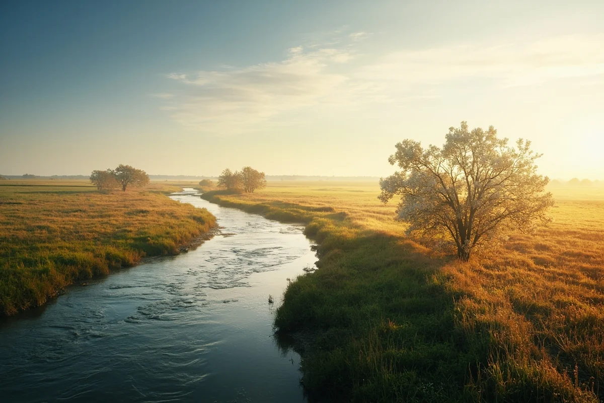
Most of the rivers I’ve covered in this series carry names honoring political figures or virtues Lewis associated with Thomas Jefferson. The Marias breaks that pattern entirely.
Lewis named this river in 1805 after his cousin, Maria Wood. It’s a small, personal gesture in the middle of an otherwise very official naming convention, and I find it genuinely charming — a reminder that even amid a mission of enormous national consequence, the expedition’s leader still had room to think of home.
The Marias Massacre
I need to tell this part of the river’s story honestly, because it’s real history connected directly to this water, and I don’t think it’s right to leave it out simply because it’s difficult.
On January 23, 1870, U.S. Army soldiers attacked a band of Piegan Blackfeet camped along the Marias River. The soldiers killed approximately 173 people.
The overwhelming majority of the dead were elderly men, women, and children — the camp’s able-bodied warriors were largely absent at the time.
The event is remembered today as the Marias Massacre, and it stands as one of the deadliest single incidents of the broader Indian Wars in American history.
This attack happened in the dead of winter, against a band that was not the intended target of the military operation in the first place — historical accounts indicate the soldiers had mistakenly identified the camp, striking a band that had largely kept peace with the United States rather than the group responsible for recent conflicts the Army was actually pursuing.
I think that detail matters, because it underscores how much of the violence carried out during this era in Montana’s history fell on people who bore no responsibility for the tensions used to justify it.
I’m not going to soften this or present it as a minor historical footnote. It’s a genuinely tragic and significant event, and I think anyone spending time on this river should know it happened here, on this exact stretch of water, within living memory of people whose descendants are still part of Montana’s Blackfeet Nation today.
Understanding this history doesn’t require avoiding the river — it requires carrying an honest picture of everything that happened here, not just the parts that make for comfortable travel writing.
Tiber Dam and a Forgotten Cold War Secret
The river’s more recent history includes a genuinely strange chapter I didn’t expect to find while researching this guide.
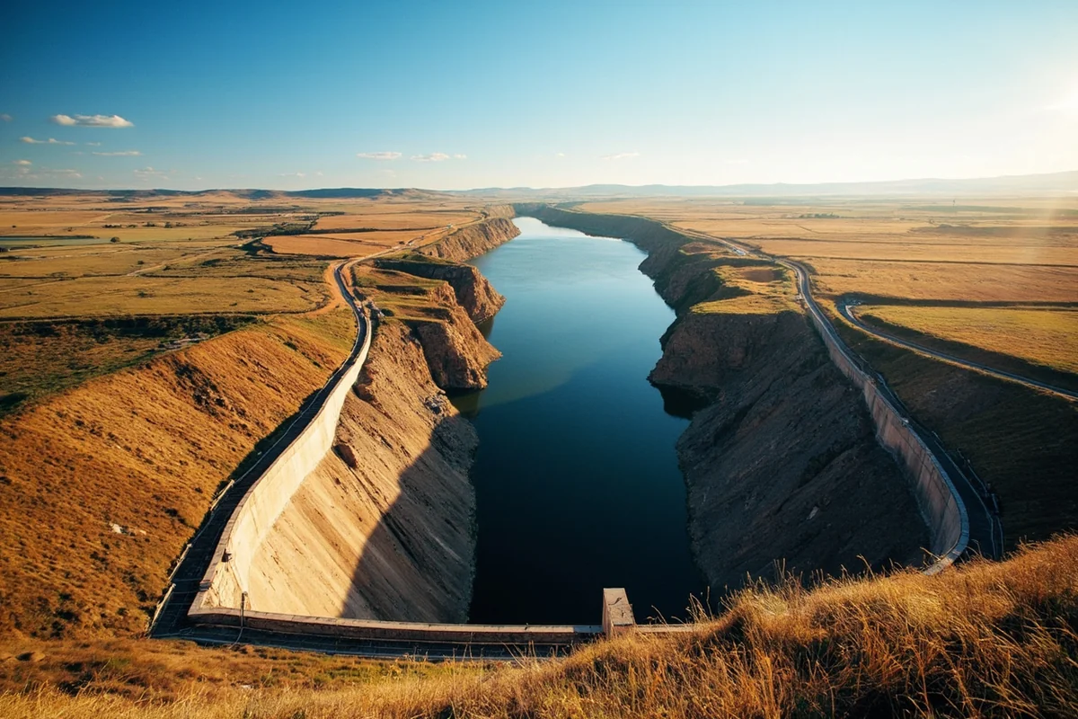
Tiber Dam, completed in 1956 as part of the broader Pick-Sloan Missouri Basin Program, created Lake Elwell and was designed primarily for flood control, having absorbed the brunt of major floods in both 1964 and 1975. Its original irrigation ambitions never fully materialized, and much of the surrounding land remains dryland agriculture today.
Here’s the detail that surprised me: a water intake facility at the dam was built specifically to supply an Anti-Ballistic Missile control center located about six miles away.
When President Nixon’s Strategic Arms Limitation Talks with the Soviet Union led to the shutdown of that Cold War-era missile defense site in 1971, the water system was repurposed to serve domestic and farmstead use across six surrounding counties instead.
It’s a strange footnote to find attached to a dam mostly known today for walleye fishing and boating, and it’s the kind of detail that makes me appreciate how much unexpected history hides in Montana’s water infrastructure once you start digging past the surface.
Fishing and Floating the Marias
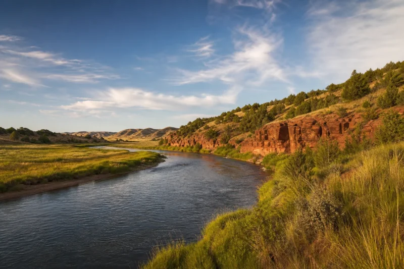
The river splits into two very different fisheries at Tiber Dam. Above the dam, the Marias runs as a slow prairie river through Glacier and Toole counties, best suited to canoes and kayaks, especially as water levels drop in mid-to-late summer. This upper stretch holds walleye, bass, catfish, and whitefish.
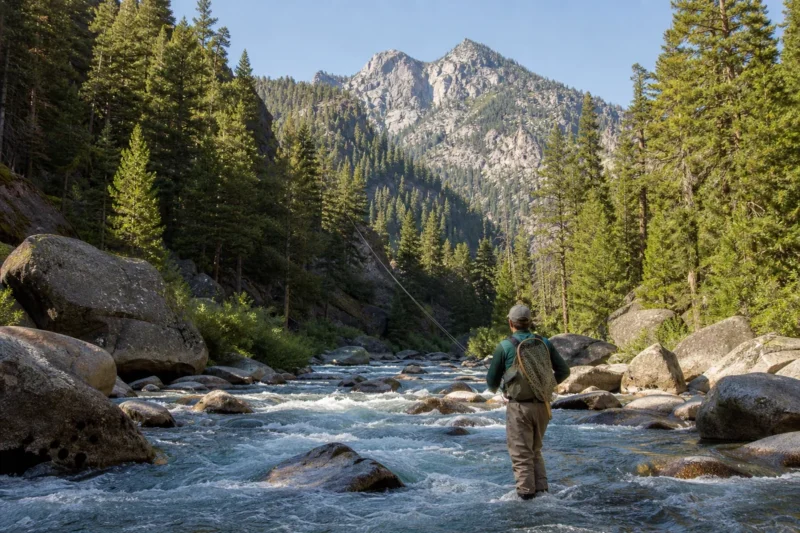
Below Tiber Dam, the tailwater deepens considerably, running 8 to 10 feet deep directly below the dam, and this is genuinely the more interesting water for anglers. It’s currently the only river in Montana stocked with hatchery trout, a management decision driven by limited natural spawning success in this stretch.
Beyond trout, the lower river holds walleye, sauger, and northern pike, along with more than a dozen native nongame species that fisheries biologists monitor as part of the broader Missouri River system’s health.
Lake Elwell itself, the reservoir formed by Tiber Dam, offers its own separate fishery worth knowing about — walleye, northern pike, and perch draw a steady stream of boat anglers throughout the open-water season, and the surrounding recreation area includes several developed campgrounds if you want to combine reservoir fishing with a river trip below the dam.
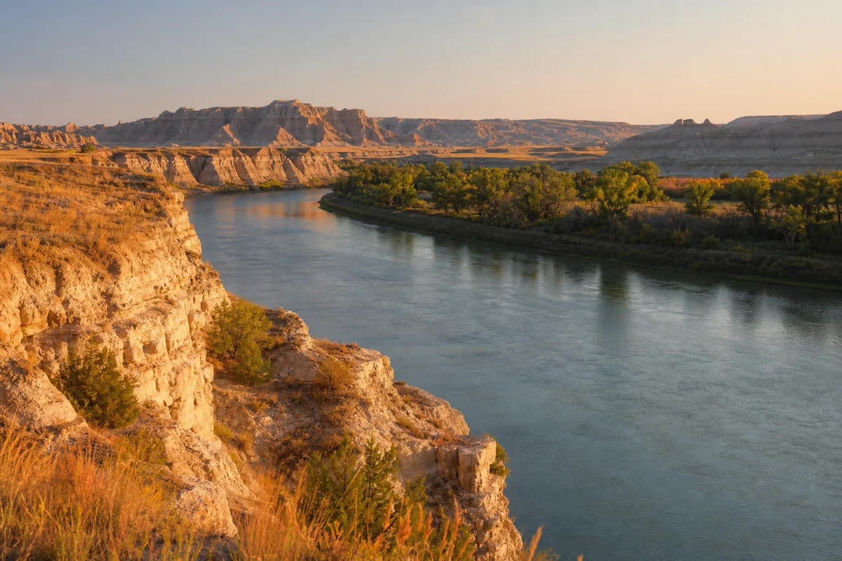
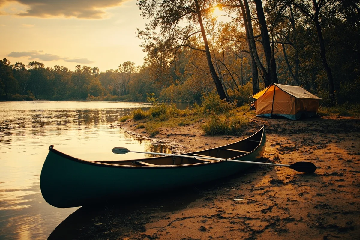
The signature float here is a 78-mile, multi-day trip from Tiber Dam down to Loma, typically taking paddlers four to six days through a Class I stretch marked by small sandstone cliffs and thick cottonwood groves.
This is a Class I river for its entire length below the dam, meaning it’s approachable for less experienced paddlers, but the remoteness is real — long stretches between access points mean you should be prepared for genuine self-sufficiency, and cottonwood sweepers can pose real hazards at higher water.
Wildlife Along the Marias
The stretch just below Tiber Dam, roughly 57 miles of it, is genuinely one of the better wildlife-watching corridors in this entire series, largely because so few people access it.
Whitetail deer, beaver, muskrat, porcupine, and a wide range of waterfowl and songbirds are all common sightings, along with both bald and golden eagles working the river corridor — see our Montana osprey page for more on the raptors you’re likely to spot overhead.
Pelicans are also a surprisingly common sight drifting along the slower stretches, a detail that catches most first-time visitors off guard given how far this river sits from any coastline.
Black bears move through the cottonwood bottoms and surrounding coulees in this stretch, so review our Montana bear guide before any overnight float camping trip along the lower river.
If you’re floating any stretch of the Marias, Montana’s general boating regulations apply just as they do statewide.
Personal Tips / What I Wish I Knew
Plan the multi-day float with real self-sufficiency in mind. Access points are genuinely far apart on the lower river, and you should be prepared to handle problems yourself rather than counting on nearby help arriving quickly.
Fish the tailwater below Tiber Dam if trout are your priority. It’s the only stocked trout water on the entire river, and the deeper, cooler water here supports a genuinely different fishery than the warm-water species found elsewhere on this system.
Visit the Decision Point interpretive area if history interests you. Standing at the actual junction where Lewis and Clark faced that pivotal choice adds real weight to a trip through this otherwise quiet stretch of prairie, and the interpretive panels there do a genuinely good job explaining the stakes involved.
Approach the Marias Massacre history with the seriousness it deserves. If you’re interested in learning more, look to sources connected to the Blackfeet Nation itself for the fullest and most respectful account of this history, rather than relying solely on secondhand travel summaries like this one.
Watch for cottonwood sweepers on the lower float. They’re a genuine hazard, especially during higher spring flows, and they’re not always visible until you’re close enough that avoiding them requires a quick, confident maneuver.
Practical Info: Marias River at a Glance
| Section | Best For | Difficulty | Notes |
|---|---|---|---|
| Headwaters to Tiber Dam | Warm-water fishing, kayaking | Easy, best in late summer | Slow prairie river |
| Tiber Dam tailwater | Trout fishing | Easy | Only stocked trout water in Montana |
| Tiber Dam to Loma (multi-day float) | Floating, camping | Class I, remote | 78 miles, 4–6 day trip typical |
| Loma / Decision Point | History, sightseeing | Easy | Confluence with the Missouri |
[Verify current stocking status, fishing regulations, and Lake Elwell boating conditions directly with Montana FWP and the Bureau of Reclamation before your trip.]
Final Thoughts
The Marias carries more history in 210 miles than almost any other river in this series — a navigational puzzle that could have derailed the entire Lewis and Clark Expedition, a personal tribute from an explorer to his cousin, a genuinely tragic chapter of the Indian Wars that deserves honest remembrance, and an unexpected Cold War footnote buried in a flood-control dam.
Fish the tailwater, float the remote lower stretch if you’re up for a real backcountry trip, and take the fuller history with you rather than just the parts that make for easy postcard copy.
Few rivers in this state ask as much genuine reflection from the people who visit them, and I think that’s exactly why the Marias deserves more attention than it typically gets.
For how the Marias fits alongside the rest of the state’s best rivers, check out our full guide to the best rivers in Montana.
Pin this guide before your trip, and let me know in the comments if you’ve stood at Decision Point yourself.