I’ve fished the same river in four completely different moods: a cold tailwater below a dam, a set of thundering waterfalls that gave a city its name, a canyon of white sandstone cliffs, and a wind-scoured lake behind one of the largest earthen dams on the planet. All of it was the Missouri.
- The Missouri River runs roughly 700+ miles through Montana, from its birth at Three Forks to the North Dakota border, and no single “fishing guide” or “float trip” post can honestly cover the whole thing.
- The 35-mile trout water near Craig and Wolf Creek is the famous blue-ribbon tailwater section most anglers picture.
- The actual Great Falls — five waterfalls that gave the city its name — nearly ended the Lewis and Clark Expedition and are worth a half-day stop even if you’re not fishing.
- The 149-mile Wild and Scenic stretch through the White Cliffs and Missouri Breaks is one of the best multi-day float trips in the country, and unlike the Smith River, it doesn’t require a permit.
- Fort Peck Dam and Lake, near the river’s eastern stretch, has its own wild Depression-era history worth knowing before you go.
Liked this article?
Add Roaming Montana as a preferred source so you see more of our articles and guides on Google.
A River With Five Completely Different Personalities
Most content about “the Missouri River in Montana” is really about one 35-mile stretch near Craig. I understand why — it’s genuinely great trout water.
But it sells the river short. The Missouri begins at Three Forks, where the Jefferson, Madison, and Gallatin Rivers converge, and it doesn’t leave Montana until it crosses into North Dakota, roughly 700 miles later depending on how you measure the bends.
Along the way, it’s a trout stream, a waterfall, a scenic wilderness float, a massive reservoir, and a slow prairie river, sometimes within the same 100-mile stretch. I’ve spent time on every one of those versions of the Missouri, and I think it deserves a guide that treats it as one continuous story instead of five separate rivers with the same name.
It’s easy to forget, standing on a drift boat near Craig with a rod in hand, that this same river once nearly broke the will of the Lewis and Clark Expedition, that it’s carved a canyon of white sandstone barely touched since 1805, and that it eventually widens into a lake so large you can lose sight of land. Very few rivers anywhere in the country pack that much range into one state.
The Trout Water: Fishing the Missouri Near Craig and Wolf Creek
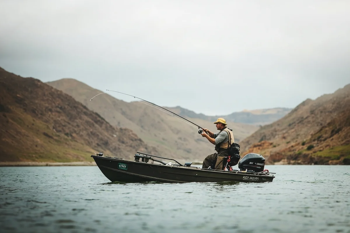
This is the section most anglers mean when they say “the Mo.” It runs about 35 miles from Holter Dam down through Cascade, and it’s some of the most consistent trout water in the country.
The tailwater release from Holter Dam keeps this stretch cold and clear even in the height of summer, which is a real advantage.
Freestone rivers like the Madison or the Big Hole can get dangerously warm and trigger hoot-owl fishing closures in late summer. The Missouri near Craig almost never does, because the dam release regulates the temperature.
I floated this stretch on an overcast morning in early July and watched three separate guide boats hook fish within casting distance of each other inside of fifteen minutes. The trout density here is genuinely staggering.
Spring (April through early June) brings blanket caddis and PMD hatches and some of the best dry fly fishing of the year. Summer holds up well thanks to the cold releases, with tricos and BWOs carrying the technical dry fly game into fall.
Winter fishing is even possible here, since the dam prevents the kind of ice-up that shuts down most other Montana rivers.
Public access is excellent, with boat ramps and fishing access sites at Holter Dam, Wolf Creek Bridge, Craig, Stickney Creek, and several points downstream toward Cascade.
Montana’s Stream Access Law applies here just like everywhere else in the state, so you can legally wade and fish from any public access point without worrying about private land complications.
The Falls That Named a City
Here’s a piece of Missouri River history that most fishing content skips entirely, and it’s one of the best stories in the whole state.
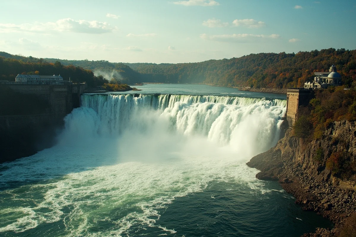
On June 13, 1805, Meriwether Lewis heard a distant roar and went to investigate. What he found were the Great Falls of the Missouri — a series of five waterfalls dropping a combined 612 feet over about ten miles of river. He called the sight one of the grandest he’d seen on the entire expedition.
The problem was that Native guides had told the expedition the portage around the falls would take about half a mile.
It actually took 18 miles overland, and it consumed nearly a month of their travel season. Along the way, the men faced grizzly bear encounters, rattlesnakes, swarms of mosquitoes, and prickly pear cactus that tore through their moccasins.
They even built a collapsible iron-frame boat at their upper camp, hoping to skip building new canoes. It failed to hold water, and they had to abandon it and carve two dugout canoes instead, adding to the delay.
One detail I love: on the day Lewis first saw the falls, a member of the expedition named Silas Goodrich caught several westslope cutthroat trout here — the first time anyone in the party had documented the species. That fish is now Montana’s official state fish, and it was discovered at this exact spot.
Today, the city of Great Falls sits right where this all happened, and the falls themselves are still there, though four of the five have been altered by hydroelectric dams built starting in 1890.
Only Crooked Falls remains in its fully natural state. The falls were significant enough to end up depicted on Montana’s state seal, a detail most visitors never notice on their own driver’s license.
Right next door, Giant Springs State Park is worth a stop even on a fishing-focused trip. It’s one of the largest freshwater springs in the country, and it feeds the Roe River, one of the shortest rivers in North America, right into the Missouri.
I spent a slow afternoon here in September walking the River’s Edge Trail, which follows both the falls and the actual Lewis and Clark portage route.
Standing at the falls and picturing a soaked, exhausted crew hauling canoes on handmade wooden wagons across this same ground changes how you see the rest of the river.
Floating Through “Visionary Enchantment”: The White Cliffs and Missouri Breaks
Downstream from Fort Benton, the Missouri changes completely again. This is the Upper Missouri National Wild and Scenic River — 149 miles of federally protected corridor, designated in 1976, running through the Upper Missouri River Breaks National Monument toward the James Kipp Recreation Area.
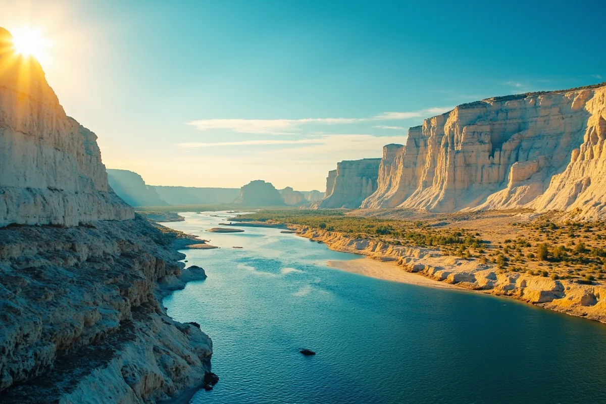
Lewis described this stretch in his journal as full of “scenes of visionary enchantment,” and after floating it myself, I don’t think that’s an exaggeration. Wind-carved white sandstone formations, including the famous Citadel Rock, rise directly out of the water in a landscape that’s barely changed since 1805.
Here’s the detail that surprises most people: unlike the Smith River, you don’t need a permit to float this stretch. It’s fully open, first-come, first-served river access, which makes it a genuinely underrated alternative for anyone who struck out in the Smith River lottery.
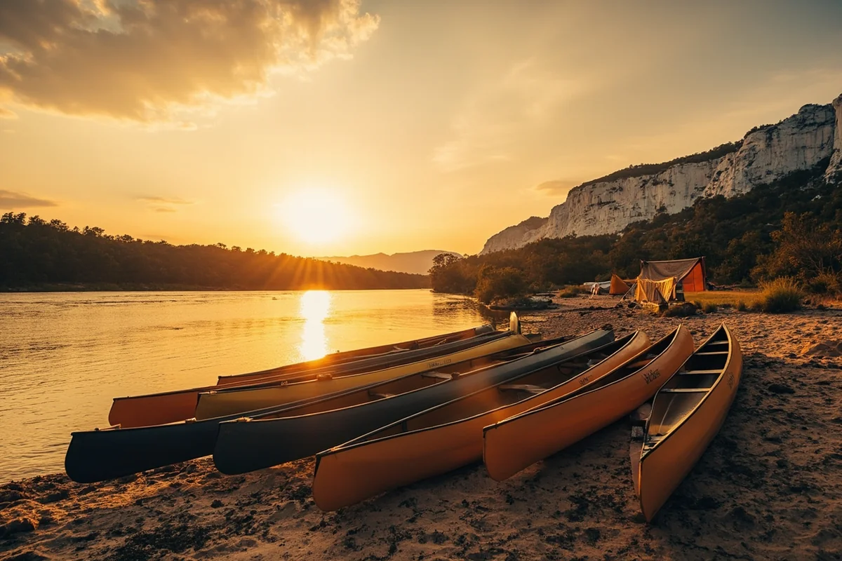
The classic trip is a four-day, three-night float launching at Coal Banks Landing, camping at Eagle Creek, Hole-in-the-Wall, and Slaughter River, and taking out at Judith Landing. The White Cliffs themselves stretch roughly 46 miles along this route.
Cell service disappears almost entirely once you launch, so bring paper maps and tell someone your plan. This is genuinely remote water, and the isolation is a huge part of what makes it special.
Fort Benton is the practical starting point for most trips, and it’s worth a stop on its own — this small town was once a major Missouri River steamboat port during the region’s fur trade and gold rush era, and its riverside historic district still reflects that history.
This stretch is also prime territory for the American Prairie Reserve, a large-scale conservation project working to restore native prairie and wildlife habitat along the Missouri Breaks.
Keep an eye out for bighorn sheep on the cliffs, and know that grizzly bears have started showing up in this stretch again in recent years as their range expands eastward onto the plains — review our Montana bear guide before any overnight trip here.
Fort Peck: The Dam That Built a Lake
Farther downstream, the Missouri widens dramatically behind Fort Peck Dam, one of the largest hydraulically-filled earthen dams in the world.
It was built during the Great Depression as a Works Progress Administration project, employing tens of thousands of workers at its peak [verify current employment figures if citing exact numbers]. A photo of the dam’s spillway famously appeared on the cover of the very first issue of LIFE magazine in 1936.
The reservoir it created, Fort Peck Lake, is one of the largest man-made lakes in the country by surface area, stretching for well over a hundred miles through remote, sparsely populated eastern Montana.
The Fort Peck Interpretive Center does a genuinely excellent job explaining both the engineering feat and the human cost of building it, including the workers who died during construction.
I’d treat Fort Peck as a destination in its own right rather than a quick stop — it’s remote enough that most travelers skip it entirely, which is exactly why I like it. Big open water, serious walleye and northern pike fishing, and a level of solitude that’s hard to find anywhere else on this river.
The Missouri Beyond Fort Peck
East of Fort Peck, the Missouri settles into its final Montana character: a wide, slow prairie river winding past towns like Wolf Point and Glasgow on its way toward the North Dakota line.
This stretch gets far less recreational attention than the water upstream, but it’s genuinely worth knowing about if you’re road-tripping through eastern Montana.
The landscape opens up into classic high plains country here — wide sky, rolling grassland, and a sense of scale that’s hard to appreciate from a car window alone.
Not far from the North Dakota border, the Missouri absorbs one more major tributary before leaving the state: the Yellowstone River, which flows in from the south.
Lewis and Clark camped near this confluence on their way west in 1805, and it’s a fitting final landmark for a river that’s carried this much history across the entire state.
Ospreys and bald eagles are common along these banks — our Montana osprey page covers their habits in more depth — and river otters turn up in the quieter side channels, covered on our Montana otters page. This is also serious pheasant and waterfowl hunting country in fall, if that’s part of your Montana trip.
Personal Tips / What I Wish I Knew
Don’t try to “do the Missouri” in one trip. I made this mistake early on, trying to combine fishing at Craig with a float through the Breaks in the same week. Each section deserves its own dedicated visit, ideally in different seasons.
The Craig stretch gets genuinely crowded in summer. If solitude matters to you, fish it in April, May, or September instead of July.
Bring more sun protection than you think you need for the Breaks float. There’s almost no shade along most of the White Cliffs corridor, and multi-day sun exposure on the water sneaks up on you.
Stop at Giant Springs even if fishing is your only goal. It’s a five-minute detour from central Great Falls and gives real context to the whole Lewis and Clark story before you get back on the water.
Check current river flows before any trip. Both the Craig tailwater and the Breaks float depend heavily on upstream dam releases and snowpack, and conditions can shift quickly.
Don’t skip the eastern stretch just because it’s less famous. I almost did, and I would have missed some of the best pheasant hunting country and quietest birdwatching in the state. Not every good stretch of this river needs a drift boat and a fishing rod to be worth visiting.
Practical Info: Missouri River at a Glance
| Section | Best For | Best Season | Notes |
|---|---|---|---|
| Three Forks headwaters | Scenery, history | Spring–fall | Where the Missouri officially begins |
| Craig / Wolf Creek | Fly fishing | Year-round | Cold tailwater keeps it fishable even in summer |
| Great Falls | History, sightseeing | Spring–fall | Five falls, Giant Springs, portage route |
| White Cliffs / Missouri Breaks | Multi-day float | Late spring–early fall | No permit required, unlike the Smith River |
| Fort Peck | Big lake fishing, solitude | Summer–fall | Remote; plan fuel and supplies ahead |
[Verify current fishing regulations, float permits (none currently required for the Breaks), and Fort Peck facility hours before you travel.]
Final Thoughts
The Missouri is the rare Montana river that can’t be summed up in one sentence, and I’d argue that’s exactly what makes it worth exploring properly instead of just booking a single guided trip near Craig and calling it done.
Fish the tailwater, stand at the actual falls that stopped Lewis and Clark in their tracks, float the Breaks if the Smith River lottery didn’t go your way, and don’t skip Fort Peck just because it’s far from everything else.
For how the Missouri fits alongside the rest of the state’s best water, check out our full guide to the best rivers in Montana. Pin this guide before your trip, and let me know which stretch you’re planning to explore first.