A short, remote canyon in central Montana is one of only three places on the entire planet where a genuinely rare volcanic rock forms in significant quantity. Almost nobody who floats through it knows that.
- The Dearborn River runs about 67 miles from the Scapegoat Wilderness to its confluence with the Missouri near Craig, dropping roughly 2,500 feet along the way.
- Its lower canyon exposes shonkinite, an extremely rare igneous rock found in only three major locations worldwide.
- The best-known float is a scenic, moderately technical 19-to-21-mile canyon run, no permit required, with a short season running from mid-May through mid-June.
- The upper river sits in genuine wilderness, reachable only by foot or horseback through the Scapegoat.
- I’ll cover the geology, the float, the fishing, and why this river flies almost entirely under the radar despite sitting close to some of Montana’s most famous water.
Liked this article?
Add Roaming Montana as a preferred source so you see more of our articles and guides on Google.
One More River Named for Jefferson’s Cabinet
I’ve told a version of this naming story several times now across this series, and the Dearborn adds one more name to the pattern.
Meriwether Lewis named this river in July 1805 after Henry Dearborn, the sitting Secretary of War under President Thomas Jefferson, following the same convention that gave us the Madison, Gallatin, and Jefferson Rivers to the south.
Lewis actually explored a short stretch of the river himself and recorded his impressions in his journal, noting its clear, fast-moving water and smooth, rounded streambed rock.
It’s a small thing, but I like knowing that this remote, lightly-visited river caught the attention of one of the expedition’s leaders enough to earn a permanent name honoring a member of the president’s cabinet, the same honor given to some of the state’s most famous water.
Henry Dearborn himself never set foot anywhere near this river — like most of the cabinet officials honored this way, the naming was a gesture of political tribute rather than a reflection of any personal connection to the place.
It’s a pattern I find genuinely interesting the more of these rivers I cover in this series: an East Coast politician’s name, permanently attached to a remote Montana canyon he never saw, simply because an explorer thousands of miles away decided to pay tribute.
For more on this era of Montana’s history, our key historical events in Montana page covers the broader context of the Lewis and Clark Expedition’s path through the state.
The Rarest Rock in Montana
Here’s the detail that genuinely surprised me when I first learned it, and it’s the single biggest reason I think this river deserves more attention than it gets.
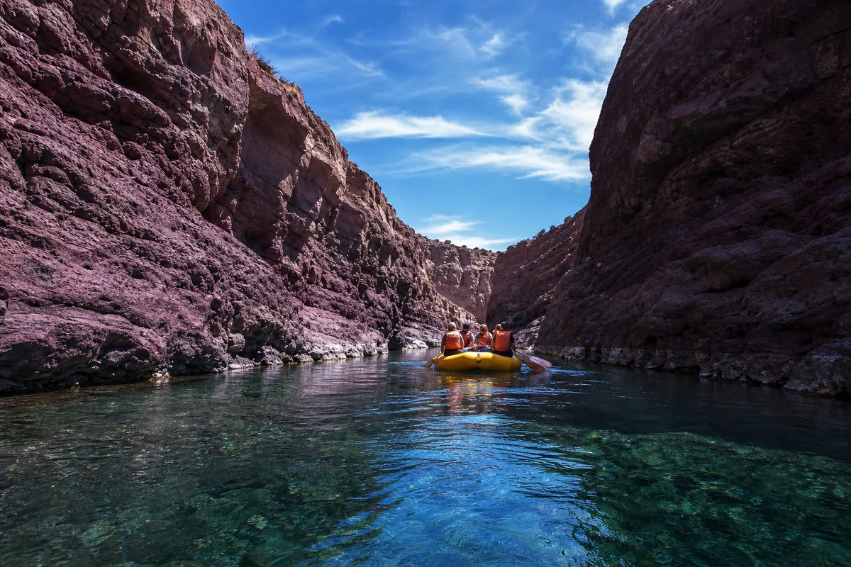
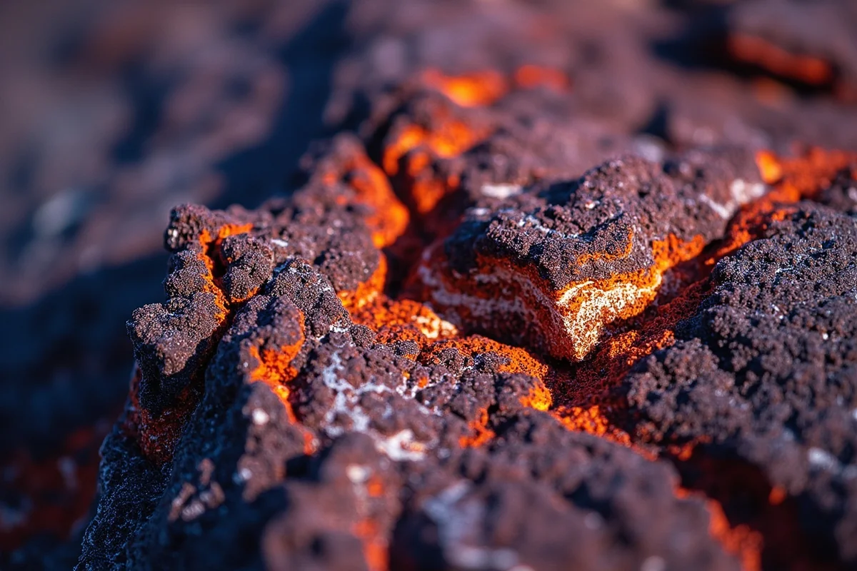
The lower Dearborn Canyon cuts through the Adel Mountains Volcanic Field, exposing a rock called shonkinite — a dark, coarse-grained igneous rock ranging from deep red to dark gray, streaked with bright orange and white marbling.
Central Montana is one of only three major sources of shonkinite in the entire world, and the rock’s name itself comes from the Shonkin Sag, a geological feature near Highwood, Montana, not far from this same region.
I think that’s a genuinely remarkable thing to float past without realizing it. Most people paddling this canyon are focused entirely on the whitewater and the fishing, and I don’t blame them — but knowing you’re passing through one of only a handful of places on the planet with this particular geology adds a different kind of appreciation to the trip.
Shonkinite forms when magma cools slowly deep underground rather than erupting at the surface, allowing large, visible mineral crystals to develop within the rock.
The Adel Mountains Volcanic Field, which produced this canyon’s distinctive walls, is itself a geologically unusual formation for this part of Montana — most of the surrounding Rocky Mountain Front is defined by sedimentary rock laid down by ancient seas, not the intrusive igneous rock exposed here.
Geologists still study this field for what it reveals about volcanic activity in the region tens of millions of years ago, long before the canyon itself was carved by the river running through it today.
Floating the Canyon
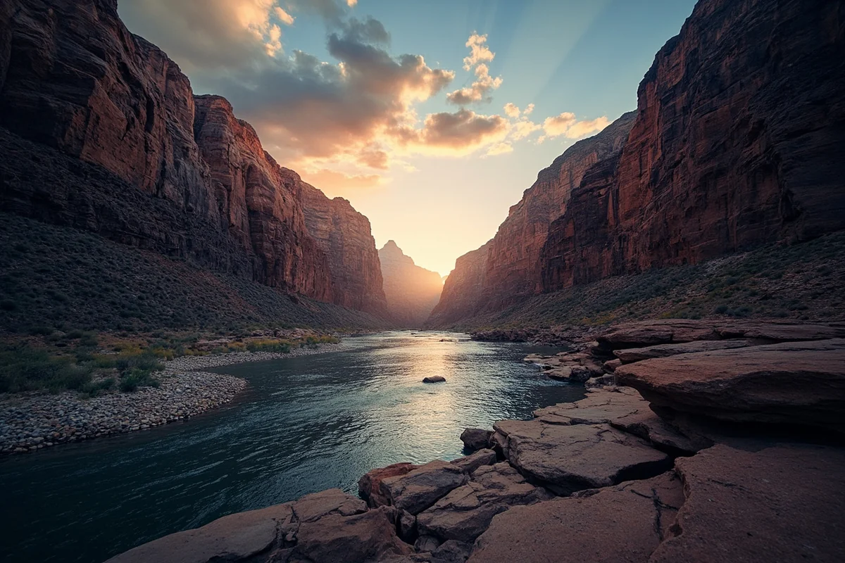
The Dearborn’s signature trip is a 19-to-21-mile float through its lower canyon, running from the Highway 287 bridge down to the river’s confluence with the Missouri River near Craig.
It’s widely considered one of the most scenic floats in the state, carving through sheer volcanic cliffs that rise hundreds of feet above the water in places.
Unlike the Smith River, which requires a competitive lottery permit to float, the Dearborn requires no permit at all — a genuinely appealing option if you struck out in that lottery but still want a comparably wild, scenic canyon experience.
That said, this isn’t an easy substitute. Most of the land bordering the river is private, meaning there’s effectively no legal place to camp along the way except sandbars below the high-water mark, and landowners here have a well-earned reputation for being unwelcoming to anyone who lingers too long.
The float season is genuinely short, typically running from the third Saturday in May through mid-June, sometimes stretching into early July in a wet year.
Flows below roughly 250 cubic feet per second mean you’ll be walking your boat through shallow stretches, while flows above 900 cfs make the technical drops genuinely hazardous for inexperienced boaters.
Given how small this river runs compared to the Missouri or Yellowstone, even modest changes in flow make an outsized difference in how the float actually feels on the water. Most groups treat this as a long single-day trip, 8 to 10 hours if you stop to fish, so plan an early start.
The Wilderness Headwaters
Above the canyon, the Dearborn begins high in the Scapegoat Wilderness, part of the larger Bob Marshall Wilderness Complex, and this upper stretch is a completely different experience altogether from the popular canyon float below.
Access here is by foot or horseback only, following a trail that crosses the river and climbs past Devils Glen, a dramatic canyon carved through granite at the base of Steamboat Mountain.
Fishing pressure in this stretch is about as light as anything covered in this series, simply because so few people make the effort to hike in.
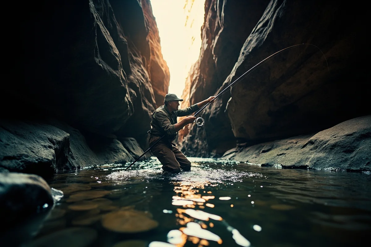
The tradeoff is technical fishing — tight pools between sheer rock walls demand a good first cast, since there’s often no room for a second attempt.
The hike itself is a genuine part of the experience. Depending on how far upstream you go, you’re looking at anywhere from an hour to most of a day on foot before you reach the better fishing water, moving through terrain that shifts from open trail to steep, shale-strewn slopes as the canyon narrows.
I’d treat this less as a quick fishing trip and more as a backcountry outing that happens to include excellent fishing along the way.
Fishing the Dearborn
Rainbow, cutthroat, and brown trout dominate here, generally running smaller than the trophy fish found on the nearby Missouri, with most fish in the 10-to-15-inch range in the canyon and slightly smaller in the wilderness headwaters upstream.
What the Dearborn lacks in size, it makes up for in scenery and solitude — this is a real contrast to the more technical, heavily pressured fishing found just a short drive away.
Stonefly hatches, including salmonflies in late May and early June, bring good dry fly action during the same narrow window that makes floating possible. Streamer fishing produces the canyon’s larger browns, particularly worked deep along undercut cliff walls.
If you’re already planning a Missouri River trip near Cascade or Craig, the Dearborn makes a genuinely worthwhile detour for a completely different kind of day.
Wildlife and the “De Facto Wilderness”
Guides who float this river regularly describe the lower canyon as a kind of accidental wilderness — not a designated protected area, but so difficult to access and so thoroughly surrounded by private land that it functions like one anyway.
No cell service, no roads, and no people for long stretches, despite running through what’s technically working ranch country rather than public wilderness.
That isolation makes for genuinely excellent wildlife viewing. Elk, deer, moose, otters, and bald eagles are all regular sightings along the float, and this same landscape once served as buffalo hunting grounds for the Blackfeet people before European settlement reshaped the region — a history worth knowing as you float through what still feels like remarkably undisturbed country.
Beaver, mink, bobcat, and the occasional bear round out the wildlife list on a good day. Review our Montana bear guide before any overnight trip in the upper wilderness stretch, and see our Montana osprey and Montana otters pages for more on two of the canyon’s most reliable sightings.
I think there’s something worth sitting with in the fact that this river’s wildness comes almost entirely from private land ownership rather than any formal protection.
No wilderness designation, no national monument status — just ranchers who’ve kept development away and a canyon too rugged and remote to attract much attention.
It’s a genuinely different model of land conservation than the more famous protected corridors covered elsewhere in this series, and it works here largely by accident rather than by design.
Personal Tips / What I Wish I Knew
Start early on float day. The full canyon run takes most of a day even at good flows, and rushing it means missing both the fishing and the scenery that make this trip worthwhile in the first place.
Check current flows before committing to a date. This river’s narrow floatable window and sensitivity to both high and low flows make it genuinely important to check conditions the same week you plan to go, not weeks in advance. A gauge reading that looked promising on a Monday can shift substantially by the weekend.
Don’t plan to camp along the lower canyon. Nearly all the surrounding land is private, and landowners here are known for discouraging lingering visitors. Plan this as a long day trip rather than an overnight unless you’re on a guided multi-day package that has secured proper access.
Consider the wilderness headwaters if the canyon float sounds too crowded. It won’t be crowded either way, but the upper stretch offers genuine solitude for anglers willing to hike in and put in the extra effort required to reach the better water.
Bring real rain gear regardless of the forecast. Spring floating season means genuinely unpredictable Rocky Mountain Front weather, and I’ve been caught in a cold, driving rain on what started as a clear morning with barely a cloud in sight.
Practical Info: Dearborn River at a Glance
| Section | Best For | Difficulty | Notes |
|---|---|---|---|
| Scapegoat Wilderness headwaters | Remote wade fishing | Easy–moderate, hike-in only | Devils Glen canyon feature |
| Highway 287 to Missouri confluence (canyon float) | Scenic floating, fishing | Moderate whitewater | No permit required, short season |
| Confluence area near Craig | Access point, transition to Missouri | Easy | Connects directly to Missouri River trips |
[Verify current river flows, access conditions, and any private land restrictions directly with Montana FWP before your trip, as this river’s short season shifts year to year.]
Final Thoughts
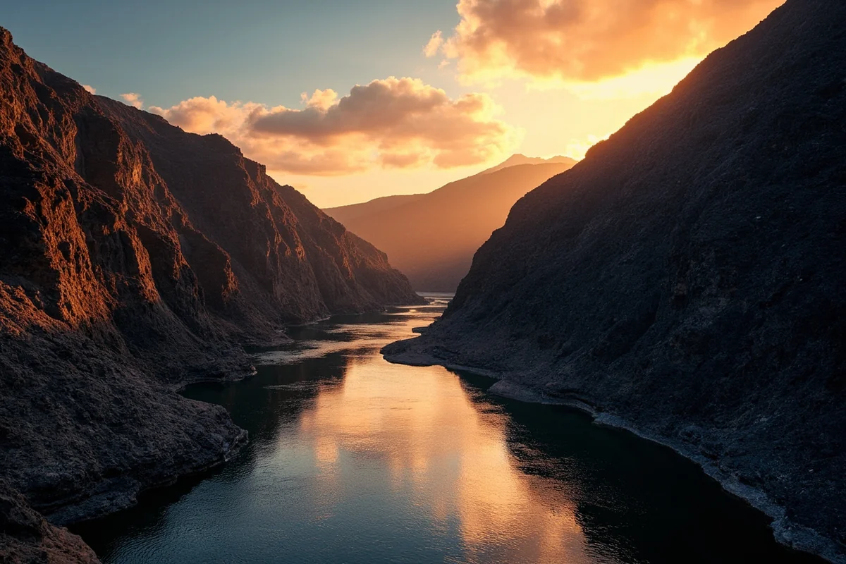
The Dearborn is proof that some of Montana’s best rivers don’t need a permit lottery or a famous name to be worth seeking out — just a short window, a little planning, and an appreciation for genuinely rare geology most floaters paddle straight past.
Fish it during that narrow spring season, respect the private land along the way, and take a moment to notice the shonkinite walls rising around you.
It’s the kind of river that rewards curiosity as much as skill, and I think that combination is exactly what makes it worth the effort to time your trip right.
For how the Dearborn fits alongside the rest of the state’s best rivers, check out our full guide to the best rivers in Montana.
Pin this guide before your trip, and let me know in the comments if you caught the canyon at the right flow.