Ninety percent of this river’s water can legally disappear into an irrigation canal during the growing season. What’s left has to support both a working agricultural valley and one of the more honest fishing stories in this entire series.
- The Sun River runs about 130 miles from the Bob Marshall Wilderness to its confluence with the Missouri at Great Falls, and it’s really two completely different rivers depending on where you fish it.
- The wilderness forks and the stretch above Gibson Reservoir offer genuinely excellent, lightly-pressured trout fishing.
- Heavy irrigation demand downstream, part of one of Montana’s oldest reclamation projects, dramatically reduces both flow and fish density the closer you get to Great Falls.
- The river’s watershed was affected by the same historic 1964 storm system that caused the deadliest natural disaster in Montana history, though the worst of that tragedy struck a related river system on the Blackfeet Reservation, not the Sun itself.
- I’ll cover the fishing section by section and the honest numbers behind this river’s downstream decline.
Liked this article?
Add Roaming Montana as a preferred source so you see more of our articles and guides on Google.
A River in Two Worlds
I want to be upfront about something before I get into the details of this river: the Sun above Gibson Reservoir and the Sun below it are almost unrecognizable as the same waterway.
The upper river begins as two separate forks, the North Fork and South Fork, deep in the Bob Marshall Wilderness, fed by summer snowfields at elevations above 8,000 feet.
This water is cold, clear, and lightly fished, simply because reaching it requires real effort. Below Gibson Reservoir, the story changes entirely — the Sun becomes the backbone of one of Montana’s oldest and most extensive irrigation systems, and the river pays a real price for that role.
I think both halves deserve honest treatment, so this guide covers the whole river rather than just the scenic parts most visitor content prefers to highlight.
The Wilderness Forks
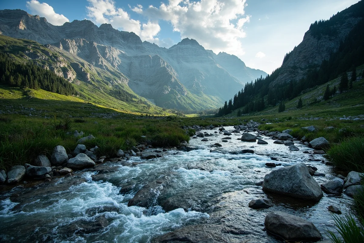
Both the North Fork and South Fork Sun River sit entirely within the Bob Marshall Wilderness Complex, accessible only by wilderness trail or horseback. This is genuine backcountry fishing — cold, nutrient-poor snowmelt water holding smaller but eager rainbow and cutthroat trout that rarely see a fly.
The two forks converge about five miles above Gibson Reservoir, and this final stretch before the reservoir offers similarly excellent, lightly pressured fishing.
Access remains difficult even here, since the road ends at Gibson Dam and reaching this water still requires a hike.
I’d treat a trip to this stretch as a genuine wilderness outing rather than a quick fishing excursion — bring the gear and mindset for a real backcountry trip, and keep a sharp eye out for grizzly bears, which are a real presence in this corridor. Review our Montana bear guide before heading in.
Gibson Dam and the Sun River Project
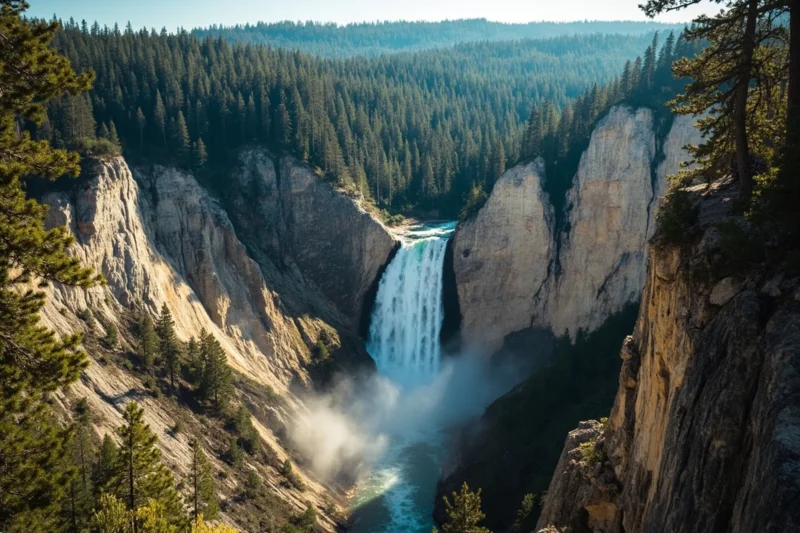
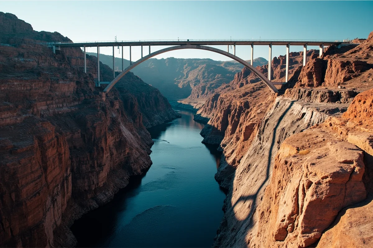
Gibson Dam, completed in 1929, anchors one of Montana’s oldest and most complex irrigation systems: the Sun River Project, authorized by the Secretary of the Interior in 1906.
The dam itself was named for Paris Gibson, the founder of Great Falls, who championed the project alongside railroad magnate James J. Hill as part of an ambitious vision to turn Great Falls into a major agricultural shipping hub.
The scale of this system is genuinely impressive from an engineering standpoint. Water stored behind Gibson Dam feeds a network of canals, including the Pishkun Supply Canal, distributing water across roughly 93,000 acres of farmland in the Sun River Valley and the Greenfields Bench near Fairfield.
During peak irrigation season, as much as 90 percent of the Sun’s flow can be legally diverted into these canals — a genuinely stark number that explains a lot about what you’ll find fishing downstream.
The Flood That Changed Everything
I want to handle this carefully, because it connects to one of the most serious tragedies in Montana’s history, even though the worst of it didn’t happen directly on this river.
In early June 1964, a massive storm system dropped as much as 16 inches of rain over 36 hours onto an already deep mountain snowpack across the Rocky Mountain Front.
The resulting flood is widely considered the worst natural disaster in Montana’s recorded history, affecting nearly 30,000 square miles, roughly a fifth of the entire state, and causing an estimated $500 million in damage in today’s dollars.
The most severe loss of life happened on the Blackfeet Indian Reservation, where the Swift Dam and Two Medicine Dam, on related river systems east of the Continental Divide, catastrophically failed.
At least 28 to 30 people died in that specific disaster, and it remains one of the deadliest events in the state’s history.
The Sun River watershed, sharing the same storm system, was also severely affected. Reports at the time indicated Gibson Dam came close to failure, with a large volume of water spilling into the Sun River Valley below.
The dam itself held, unlike Swift and Two Medicine, but the flooding it contributed to still caused serious damage throughout the valley.
According to a state fisheries biologist, the river’s fishery is now considered fully recovered from the 1964 flood, though other ongoing factors, mainly irrigation demand, continue to limit the lower river’s potential today.
The Honest Numbers Downstream
I think this is worth laying out plainly, because most content about this river doesn’t. A 2021 trout survey found roughly 600 fish per mile in the upper forks, a genuinely healthy number.
That figure drops to 183 trout per mile near Augusta, 168 near Simms, and just 85 at the town of Sun River — a steep, steady decline as the river moves through the heaviest irrigation withdrawal zones.
This isn’t a story of contamination or a single dramatic event the way some other rivers in this series have faced.
It’s a quieter, more structural story about a heavily allocated water system with real legal rights attached to nearly all of it, decided decades before anyone was thinking much about the fishery at all.
Local volunteers and watershed groups continue working collaboratively with irrigators to find ways to protect at least some cold, clean flow for the fishery, but as one retired state hydrologist put it, existing water rights could legally dry up the river if priorities shifted.
I think that’s worth knowing before you plan a fishing trip to the lower valley expecting Missouri River-caliber water.
Fishing the Sun River, Section by Section
Wilderness forks and above Gibson Reservoir. Excellent, lightly pressured fishing for smaller rainbow and cutthroat trout, reachable only by trail.
Between Gibson Dam and Sun River Dam. A short, three-mile stretch of nearly continuous whitewater, genuinely difficult to fish from a boat and not recommended for beginners.
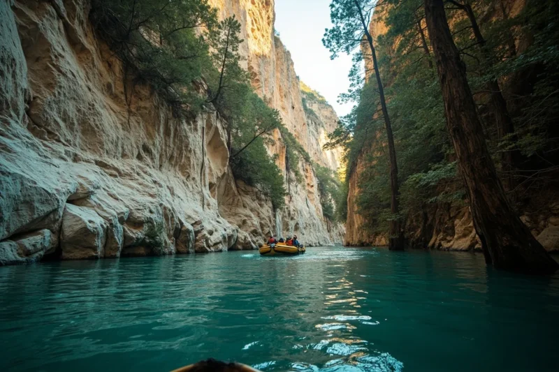
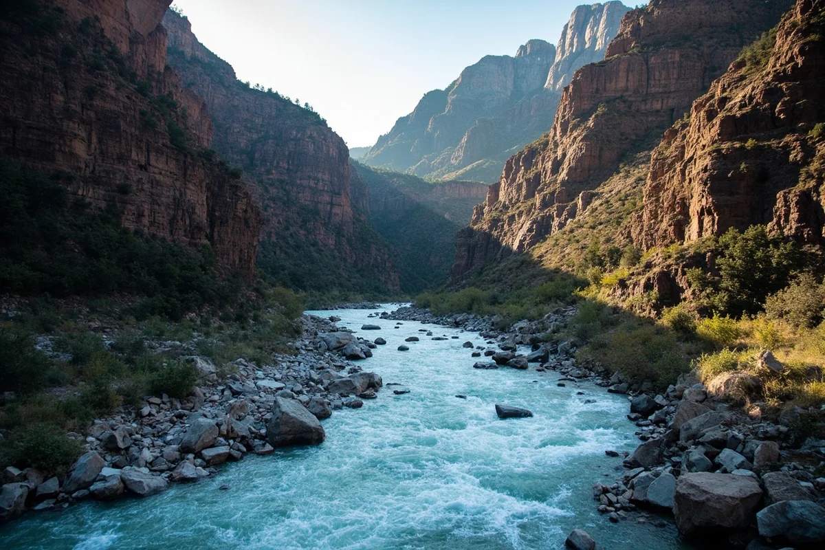
Sun River Canyon. Below Sun River Dam, the river carves through roughly 25 miles of steep, remote canyon along the edge of the Rocky Mountain Front. Rapids here vary with flow, and access is limited to steep, rocky hiking trails rather than roads.
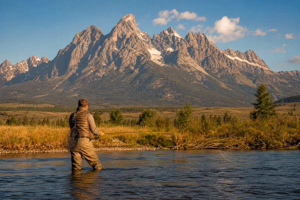
Below Willow Creek Reservoir to Great Falls. This lower stretch reflects the irrigation impact described above — lower trout numbers, mostly brown trout, with northern pike becoming increasingly common the closer you get to the Missouri confluence near Great Falls. Streamers, nymphs, and late-summer hoppers are the most productive approach here.
Wildlife of the Sun River Corridor
The upper Sun River corridor is genuinely excellent wildlife habitat, and it’s part of why the Sun River Wildlife Management Area exists near Augusta — protecting winter range for one of the larger elk herds along the Rocky Mountain Front.
Large numbers of elk are visible from the county road during winter months, and mule deer, white-tailed deer, and pronghorn antelope are common sightings year-round throughout the valley.
Ospreys and bald eagles work the river regularly for fish — see our Montana osprey page for more on their habits — and river otters occasionally show up in the calmer stretches below the canyon, covered on our Montana otters page.
Spring and fall bring significant waterfowl migrations through the valley, making this a genuinely worthwhile stop for birdwatchers as well as anglers.
Montana’s Stream Access Law governs recreation on the Sun just as it does statewide, letting you wade and fish up to the ordinary high-water mark from any legal public access point — worth knowing given how much of the lower valley runs through private agricultural land.
Our overview of boating in Montana covers the broader rules that apply if you’re floating any stretch of this river.
Making Your Base Camp
Augusta is the natural hub for exploring the upper Sun River and Gibson Reservoir, sitting close to the mountain access points and offering a genuine small-town Rocky Mountain Front experience, the kind of place where ranching still visibly shapes daily life.
If you’re focused on the lower river’s warm-water fishing or connecting to a broader Missouri River trip, Great Falls makes more sense as a base, with easy access to where the Sun finally meets the Missouri River.
Personal Tips / What I Wish I Knew
Set expectations by section before you go. The upper forks and lower valley are genuinely different fisheries, and showing up to the lower river expecting wilderness-caliber fishing will disappoint you.
Budget real time and effort for the wilderness stretches. This isn’t roadside fishing. Plan for a hike, pack accordingly, and treat it as a backcountry trip rather than a quick outing.
Check current reservoir releases before a lower-river trip. Given how heavily this system is managed for irrigation, flows downstream can shift dramatically depending on the time of year and current agricultural demand, sometimes within the span of just a few days.
Bring pike gear if you’re fishing the lower stretches or Willow Creek Reservoir. Large spoons and heavier tackle open up a genuinely different, productive fishery down here even when trout numbers are thin.
Respect grizzly country in the upper drainage. This is a real, active bear corridor connecting to the Bob Marshall Wilderness, not just a formality — carry bear spray and know how to use it before you’re actually standing in thick willows along the riverbank.
Practical Info: Sun River at a Glance
| Section | Best For | Difficulty | Notes |
|---|---|---|---|
| Wilderness forks (Bob Marshall) | Remote trout fishing | Hike/horseback only | Genuine backcountry trip |
| Above Gibson Reservoir | Trout fishing | Moderate hike required | Road ends at Gibson Dam |
| Gibson Dam to Sun River Dam | N/A — difficult whitewater | Not beginner-friendly | Nearly continuous rapids |
| Sun River Canyon | Scenic fishing, hiking | Moderate–difficult | Steep, rocky trail access |
| Below Willow Creek Reservoir | Warm-water fishing, pike | Easy | Reflects irrigation impact |
[Verify current reservoir levels and irrigation-season flow releases directly with the Bureau of Reclamation and Montana FWP before planning a lower-river trip.]
Final Thoughts
The Sun River rewards honesty about what it actually is: a genuinely excellent wilderness fishery in its upper reaches, and a heavily worked agricultural river downstream that still manages to hold fish despite enormous irrigation demand.
I’d encourage you to fish both halves with realistic expectations for each, and to appreciate the collaborative work happening quietly to keep at least some of this river’s character intact for the future.
It’s not the flashiest river in this series, but it might be one of the most honest about the tradeoffs every working Montana river eventually has to make.
For how the Sun fits alongside the rest of the state’s best rivers, check out our full guide to the best rivers in Montana.
Pin this guide before your trip, and let me know in the comments which stretch you end up exploring.