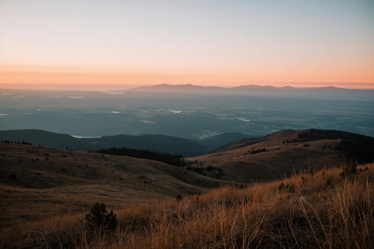
The first time I watched sunrise from Chief Mountain, the entire Continental Divide lit up like someone had drawn a line of fire across the horizon. Below, the grasslands spread eastward toward the Hi-Line, and behind me, glaciers carved their slow paths through ancient rock—two Montana worlds meeting at an invisible seam.
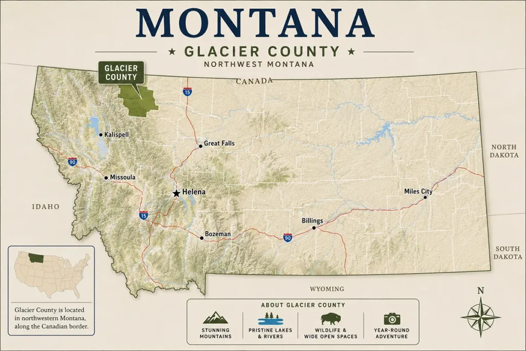
Glacier County sits at one of the most dramatic transitions in the American West, where the Rocky Mountains crash into the Great Plains like a frozen wave. As one of Montana’s 56 counties, it offers visitors something most destinations can’t: wilderness that rivals anywhere in North America, combined with deep cultural heritage and access that doesn’t require a week-long backpacking trip.
- Glacier County encompasses the eastern half of Glacier National Park, the entire Blackfeet Indian Reservation, and stretches to the prairie Hi-Line
- The county spans 3,085 square miles with elevations from 3,600 to over 10,000 feet
- Cut Bank and Browning serve as the main towns, with East Glacier Park as the summer tourism hub
- Summer highs typically range from 70–85°F at lower elevations, but mountain weather changes rapidly
- The Blackfeet Nation manages the eastern half of the county, requiring special permits for off-reservation hiking
- Going-to-the-Sun Road’s east entrance provides direct access from the county
Liked this article?
Add Roaming Montana as a preferred source so you see more of our articles and guides on Google.
Understanding Glacier County’s Unique Geography
Glacier County isn’t just named after its famous national park—it literally contains some of the most dramatic mountain-to-prairie transition landscape in Montana. The Continental Divide forms the western boundary, with peaks that still hold working glaciers despite climate change.
What surprised me most during my July visit was how you could stand in alpine meadows at 7,000 feet in the morning, then drive 40 minutes east to prairie grasslands where the horizon stretches unbroken.
The county covers 3,085 square miles, making it larger than Delaware and Rhode Island combined. Unlike some Montana counties where the terrain stays relatively consistent, Glacier County packs incredible variety into its boundaries.
The Three Distinct Zones
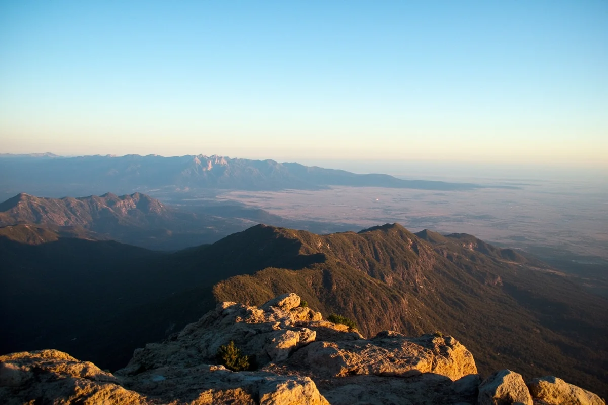
The western third encompasses the Rocky Mountain Front, where sedimentary rock thrust sheets tower thousands of feet above their base. During my September visit, the aspens were turning gold along the mountain flanks while snow already dusted the higher peaks—a visual reminder of the elevation changes.
The middle section includes the Blackfeet Indian Reservation lands, rolling prairie with coulee breaks and isolated buttes. This transition zone captures both worlds, with sudden views of the mountains to the west and endless sky to the east.
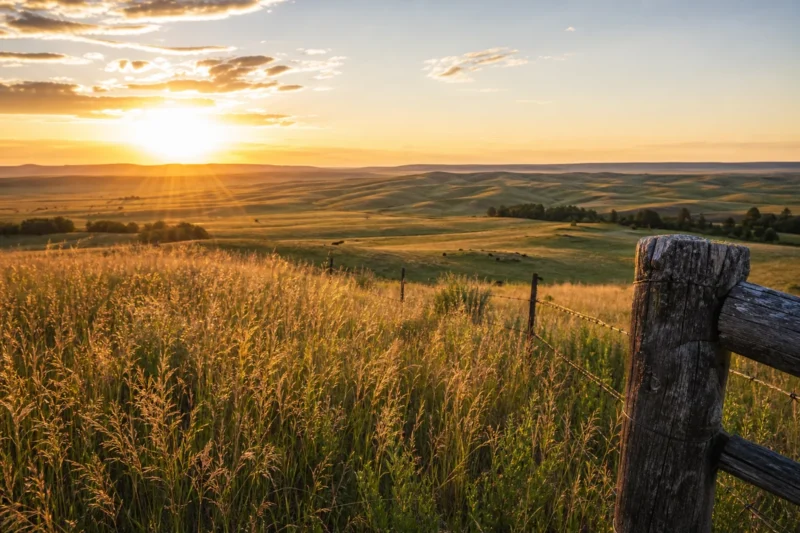
The eastern portion reaches toward the Hi-Line, Montana’s northern tier along the Canadian border. This is true prairie country, where high plains ecology dominates and the mountains become distant blue shadows on clear days.
The Blackfeet Nation and Reservation Lands
The Blackfeet Indian Reservation occupies roughly 1.5 million acres, making up most of Glacier County east of the park. Understanding this is crucial for visitors—this isn’t public land, and different rules apply than in the adjacent national park.
What most guidebooks skip is that the Blackfeet people have inhabited this region for at least 10,000 years according to tribal historians. The reservation was established in 1855 and later reduced in size when the federal government purchased the land that became Glacier National Park’s eastern section in 1895.
Visiting Reservation Lands
During my visit to the Museum of the Plains Indian in Browning, a staff member explained that recreational permits are required for fishing, hiking, or camping on tribal lands outside the national park boundaries. These permits, which typically cost around $10–$20 per person depending on activities, are available at various locations including many convenience stores in Browning and East Glacier Park.
The tribe manages several areas specifically for visitors, including hiking access to certain waterfalls and fishing spots. What caught me off guard was learning that some trails that appear to start in Glacier National Park actually cross onto reservation lands—something that’s not always clearly marked.
Cut Bank: The County Seat
Cut Bank sits at the edge of where the mountains give way to prairie, earning its nickname as the “Coldest Spot in the Nation.” While that title is somewhat tongue-in-cheek (other Montana locations regularly record colder temperatures), the town has leaned into its reputation with a 27-foot penguin statue that’s become an unexpected photo opportunity.
The town of roughly 3,000 residents serves as Glacier County’s administrative center and a practical stop for travelers heading to the park. What I appreciated during my stay was how it functions as a genuine working town rather than a tourism hub—gas stations stay open late, grocery stores stock actual supplies, and locals know the current road conditions.
What Cut Bank Offers Visitors
Lodging options in Cut Bank typically range from $80–$140 per night for standard motels, significantly less expensive than staying in East Glacier Park or West Glacier during peak season. The tradeoff is distance—you’re about 30 miles from the Two Medicine entrance to Glacier National Park.
The town also provides last-chance services before heading into more remote areas. One thing that caught me off guard was how early restaurants close, even in summer. Plan to eat dinner by 7 p.m. if you want options beyond fast food.
Browning: Heart of the Blackfeet Nation
Browning, with a population around 1,000, serves as the headquarters of the Blackfeet Nation. The town sits 12 miles east of Glacier National Park’s eastern boundary and functions as the cultural and administrative center of the reservation.
Visitors arriving in July during North American Indian Days will encounter one of the largest powwows and celebrations in the region. The four-day event draws participants from tribes across North America, with dancing competitions, rodeo events, and traditional games. During my visit in early July, every hotel and campsite within 50 miles was fully booked—advance planning is essential.
Museum of the Plains Indian
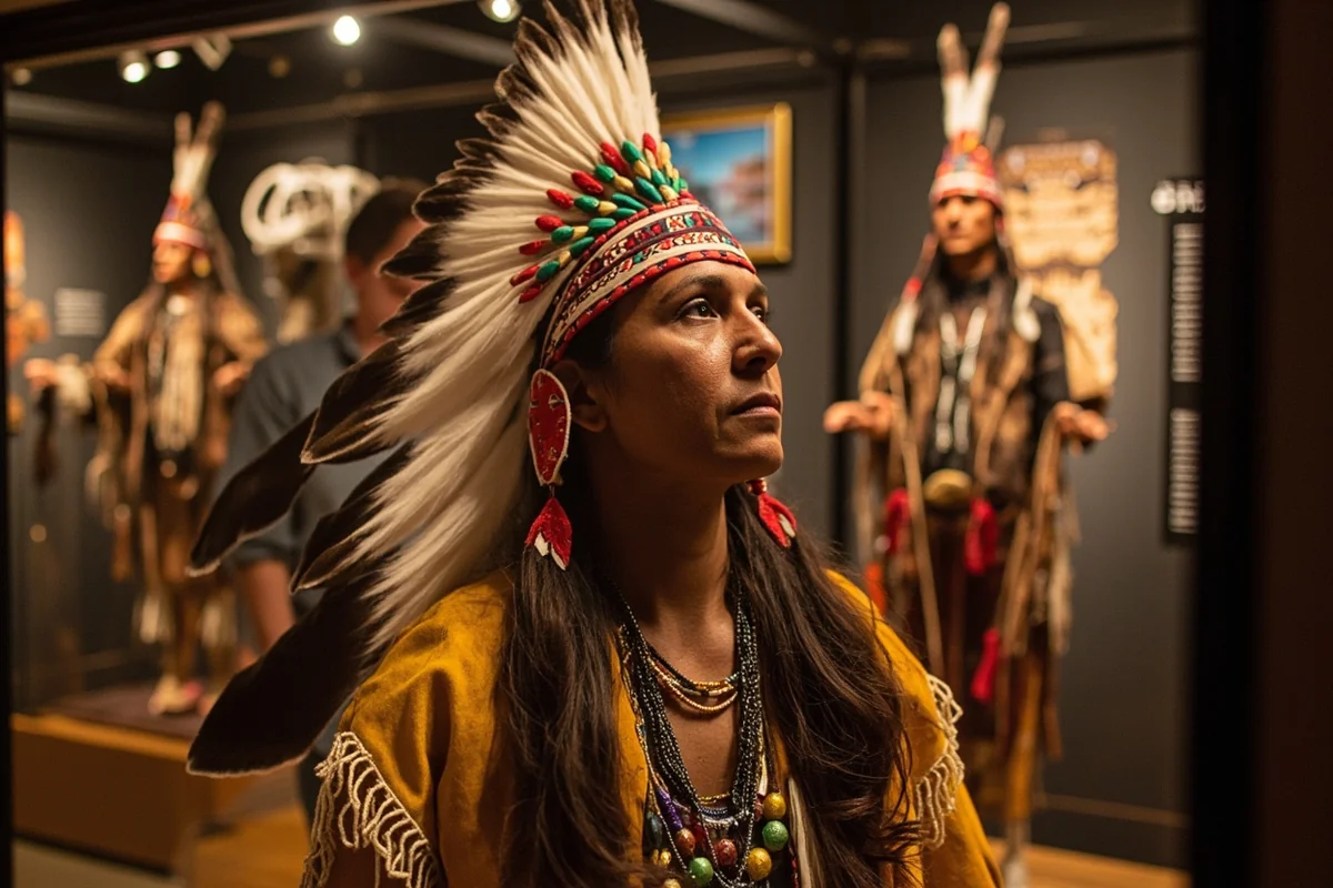
Operated by the Indian Arts and Craft Board under the U.S. Department of the Interior, this museum offers the most comprehensive introduction to Blackfeet culture and Northern Plains tribes available in the region. The permanent collection includes historical clothing, weapons, and tools, along with contemporary Native American art.
Admission was $5 for adults when I visited, with summer hours extending to 7 p.m. What most visitors miss is the museum store, which sells authentic Native American crafts directly from tribal artists—prices generally range from $20 for small beadwork items to several thousand dollars for major art pieces.
East Glacier Park: The Summer Hub
East Glacier Park transforms from a near-ghost town in winter (permanent population under 400) to a bustling tourism center each summer. The town exists almost entirely to serve park visitors, with hotels, restaurants, and outfitters concentrated along Highway 2.
The historic Glacier Park Lodge anchors the town, built by the Great Northern Railway in 1913. Even if you’re not staying there, the lobby with its massive Douglas fir pillars is worth visiting. Room rates at the lodge typically range from $200–$400 per night during peak season, though prices vary significantly based on timing and room type.
Strategic Base for Park Access
What makes East Glacier Park valuable is its position as a gateway to less-crowded sections of Glacier National Park. The Two Medicine area, accessed from just outside town, sees a fraction of the visitors that flood Logan Pass and Many Glacier.
During my August visit, the Two Medicine parking area filled by 9 a.m. on weekends—late by Glacier National Park standards, where popular trailheads on the west side fill by 6 or 7 a.m. The relative breathing room makes East Glacier Park an appealing base for visitors who want easier park access without the extreme crowding.
Accessing Glacier National Park from the County
Glacier County provides access to what many consider the most spectacular sections of Glacier National Park. The Two Medicine area and the eastern approach to Going-to-the-Sun Road both fall within county boundaries.
The St. Mary entrance station sits just at the county’s edge, providing access to Going-to-the-Sun Road from the east. According to the National Park Service, this entrance typically opens earlier in spring than the Logan Pass section, since it sits at lower elevation and requires less snow removal.
Two Medicine Area
Two Medicine Valley offers a microcosm of what makes Glacier National Park special: dramatic peaks, alpine lakes, waterfalls, and historic lodges, all with fewer crowds than the park’s western valleys. The area sits entirely within Glacier County’s boundaries.
The boat tour across Two Medicine Lake, operated by Glacier Park Boat Company, typically runs from early June through mid-September depending on conditions. Fares usually range around $15–$20 for adults, and the tour cuts several miles off hikes to destinations like Twin Falls or Upper Two Medicine Lake.
What surprised me most was the wind. Two Medicine sits at the mountain-prairie transition, and afternoon winds regularly gust to 30–40 mph by mid-afternoon during my summer visits. Morning hikes face calmer conditions and better photography light.
Going-to-the-Sun Road Eastern Section
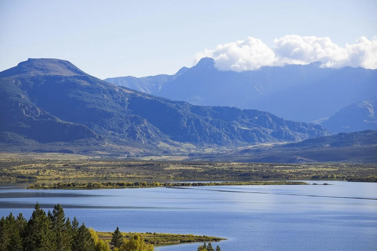
The eastern portion of Going-to-the-Sun Road, from St. Mary to Logan Pass, climbs through dramatically different terrain than the western approach. The road here follows the edge of the Continental Divide, with viewpoints looking east over the plains.
The Sun Point area, about 10 miles west of St. Mary, offers one of the best value-to-effort viewpoints in the park. A short paved walk leads to panoramic views of St. Mary Lake with peaks surrounding it. During my early September visit, this spot was nearly empty at sunrise while Logan Pass parking lots were already full.
Chief Mountain and the International Highway
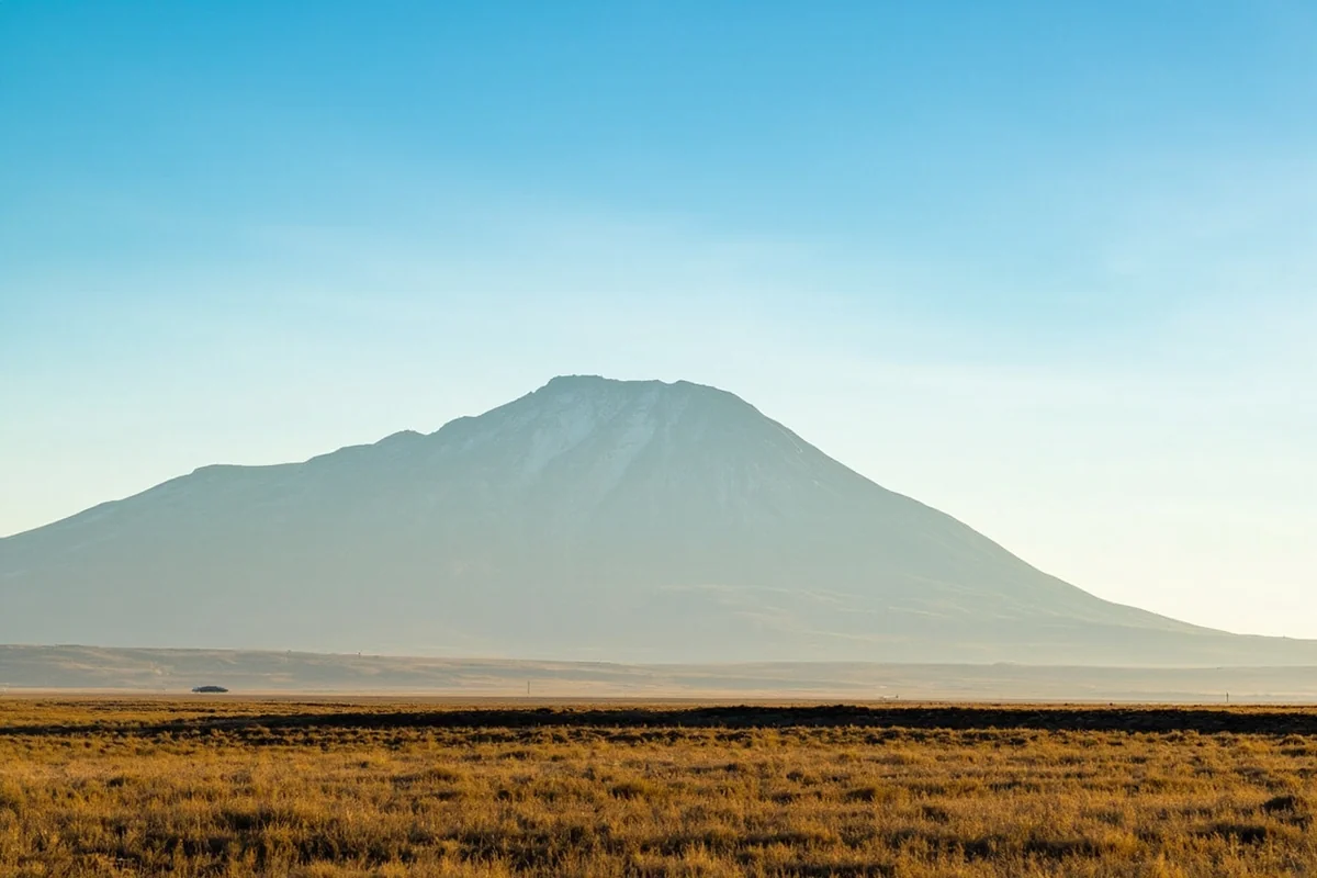
Chief Mountain rises 9,080 feet as an isolated peak visible for miles across the northern plains. For the Blackfeet people, it holds profound spiritual significance and serves as a landmark that’s been part of their geography for millennia.
Chief Mountain International Highway (Highway 17) provides a seasonal route from Babb, Montana to Cardston, Alberta. The road typically opens in late May and closes in mid-September, depending on conditions. What most visitors don’t realize is that this border crossing has limited hours—generally 9 a.m. to 6 p.m. during the summer season.
The viewpoint at the Chief Mountain border station offers one of the most dramatic panoramas in Glacier County. Mountains rise directly behind you to the west, while prairie stretches to the eastern horizon. During my July visit, I watched a thunderstorm march across the plains below while standing in sunshine—the scale and clarity of sky here makes weather-watching spectacular.
Weather and When to Visit
Glacier County’s weather varies dramatically with elevation and season. The mountains can see snow any month of the year, while the prairie portions experience a more typical northern Great Plains climate.
Summer temperatures at lower elevations (Cut Bank, Browning) typically range from 70–85°F for highs, with nights cooling to 45–55°F. Mountain temperatures run 10–20 degrees cooler at higher elevations. What caught me off guard during my first summer visit was how quickly conditions change—I’ve experienced sunshine, hail, and fog within a single two-hour hike.
Seasonal Considerations
June brings wildflowers to lower elevations but snow still blocks many high-country trails. The advantage is fewer crowds and green landscapes. During my mid-June visit, Two Medicine trails at lower elevations were clear, but anything above 6,500 feet remained under snowpack.
July and August offer the most reliable weather and full trail access, but also peak crowds and higher prices. Wildflowers bloom at higher elevations during this window, and all facilities operate on full summer schedules.
September delivers spectacular fall colors, fewer visitors, and unpredictable weather. The aspens along the mountain front turn gold, typically peaking in mid-to-late September. During my September visits, I’ve experienced both perfect 75-degree days and snow squalls in the same week.
Winter essentially shuts down tourism infrastructure in East Glacier Park, and many park roads close for the season. However, mosquitoes and biting flies are completely absent—a significant advantage for those willing to brave the cold.
Wind Warning
The Rocky Mountain Front acts as a natural wind tunnel, and Glacier County catches the full force. Wind speeds of 30–50 mph are common throughout the year, with gusts exceeding 100 mph recorded during extreme events.
During my May visit, wind knocked me sideways while hiking near Two Medicine. Local advice I received: secure everything in your vehicle, stake tents with extra anchors, and plan hiking for morning hours before winds typically strengthen in the afternoon.
Wildlife Viewing Throughout the County
Glacier County supports one of the most intact large-mammal ecosystems in the lower 48 states. The county’s position at the mountains-meet-plains transition creates habitat for both alpine and prairie species.
Grizzly bears roam throughout the western portions of the county, both inside and outside park boundaries. Black bears occur in forested areas. According to Montana Fish, Wildlife & Parks, bear spray and proper food storage aren’t optional suggestions—they’re necessities for anyone hiking or camping in the region.
Where to Look for Wildlife
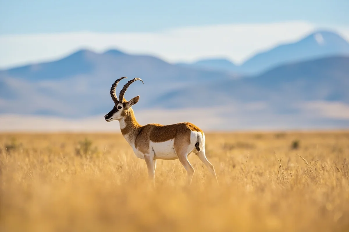
The prairie portions of Glacier County host pronghorn antelope year-round. These animals can sprint at speeds exceeding 50 mph, and watching them bound across open grassland ranks among Montana’s most impressive wildlife spectacles. I’ve had best luck spotting them along Highway 89 between Browning and the Canadian border during early morning hours.
Bighorn sheep frequent the rocky slopes near Two Medicine and along Going-to-the-Sun Road’s eastern sections. During my September visit, a group of rams was grazing just off the road near Rising Sun, seemingly unconcerned by passing vehicles.
Elk move between mountain summer ranges and lower elevation winter ranges, and the transition zones in Glacier County see significant migrations. The fields around East Glacier Park often host elk herds during spring and fall shoulder seasons.
Hiking Beyond the Beaten Path
While everyone knows about Glacier National Park’s famous trails, Glacier County offers lesser-known hiking options that see a fraction of the traffic. What most guides don’t tell you is that some of the best views require crossing reservation lands, where separate permits apply.
Scenic Point from Two Medicine
This 7.6-mile round-trip hike climbs to panoramic views of Two Medicine Valley and surrounding peaks. The trail gains about 2,300 feet, with much of that elevation packed into the final two miles.
What makes this hike special is the transition from forest to alpine tundra, with views expanding as you climb. During my August hike, wildflowers covered the upper meadows, and I encountered fewer than a dozen other hikers despite perfect weather—rare for Glacier National Park in peak season.
The downside is exposure. Once above treeline, you’re completely exposed to weather and sun. I started at 7 a.m. and finished by 11:30 a.m., avoiding the worst of afternoon heat and thunderstorm potential.
Pitamakan-Dawson Loop
This challenging 18.8-mile loop through the Two Medicine area crosses high mountain passes and skirts alpine lakes. It’s one of Glacier National Park’s premier backpacking trips, requiring an overnight permit from the National Park Service.
The route crosses the Continental Divide twice and tops out above 8,000 feet. During my two-day trip in September, I saw more mountain goats than people, and sunrise from Dawson Pass revealed peaks stretching to every horizon.
What most hikers get wrong is underestimating the elevation gain—nearly 3,000 feet on day one. The combination of altitude and distance leaves many struggling, despite the trail’s moderate technical difficulty.
Photography Opportunities
Glacier County offers some of Montana’s most photogenic landscapes, though the best shots require planning and local knowledge. The dramatic light during golden hour, combined with the mountain-prairie transition, creates opportunities that don’t exist elsewhere.
Best Locations and Timing
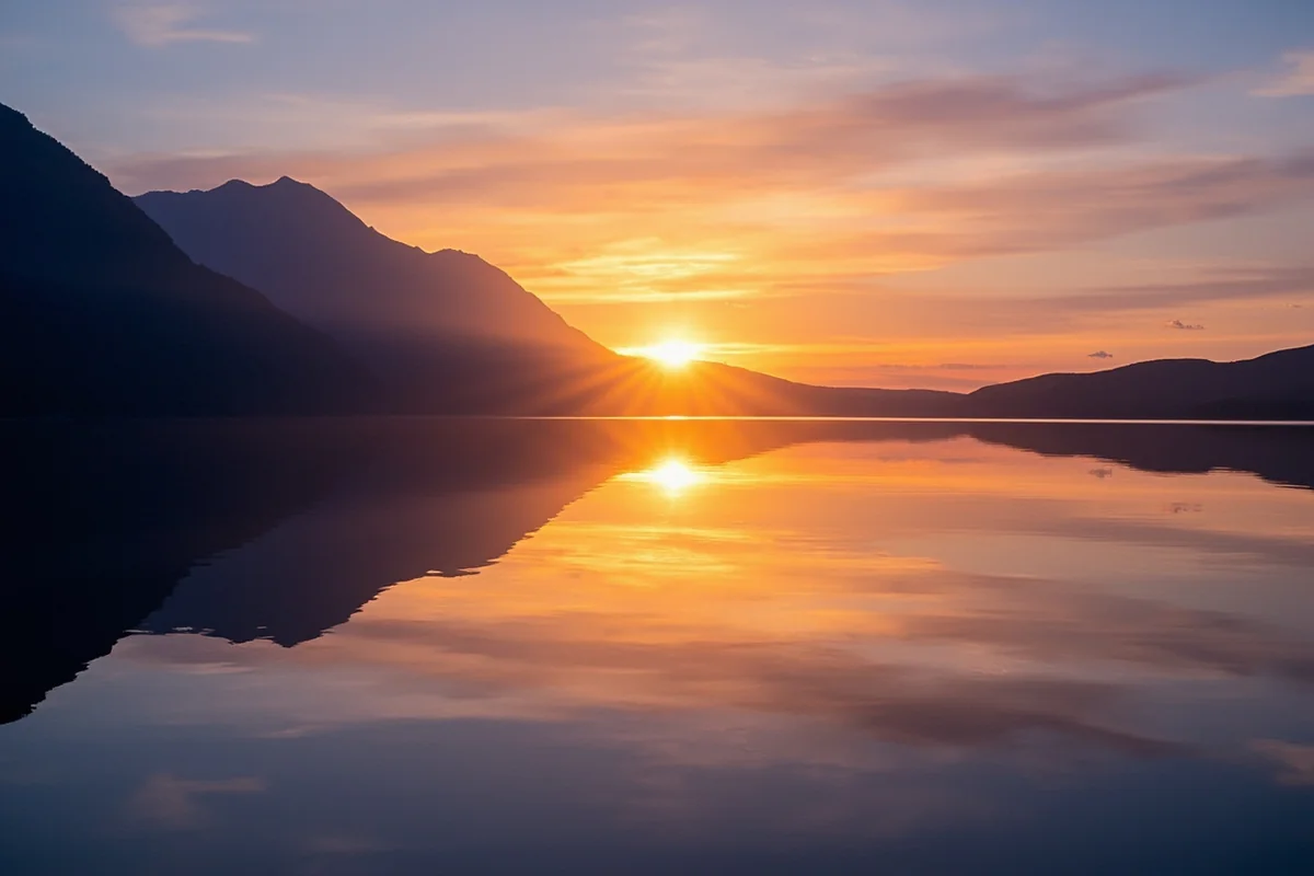
St. Mary Lake from the Going-to-the-Sun Road viewpoints catches sunrise light beautifully. The mountains to the west reflect in the lake if winds are calm—typically most likely in early morning before the afternoon gusts arrive.
The Chief Mountain viewpoint, both from the border station and from various points along Highway 89, offers clear views of this iconic peak. Late afternoon light emphasizes the mountain’s dramatic vertical relief. During my July evening visit, the peak caught golden light while thunderstorms rolled across the plains below—some of the most dramatic conditions I’ve encountered anywhere in Montana.
Two Medicine Lake from the boat dock or campground area provides classic mountain reflection shots. I’ve had best success during early morning hours before winds ripple the water surface, typically before 8 a.m.
For prairie landscapes, the roads east of Browning toward Cut Bank cross photogenic grasslands with mountain backdrops. What you won’t find are obvious pullouts—you’ll need to find safe spots to park on road shoulders, which can be tricky given the narrow highways.
Practical Information for Visitors
Planning a visit to Glacier County requires understanding its unique characteristics—remote location, limited services, and weather extremes all factor into successful trips.
Getting There
Glacier County sits in Montana’s far northwest, with the Canadian border forming its northern edge. No commercial airports operate within the county.
The closest airports with regular service are in Great Falls (about 120 miles from Cut Bank) and Kalispell (about 60 miles from East Glacier Park). Rental cars are essential—no public transportation serves the county beyond seasonal park shuttles.
Highway 89 runs north-south through the county, connecting Browning, St. Mary, and continuing toward Canada. Highway 2 parallels it to the east, passing through Cut Bank and East Glacier Park. Going-to-the-Sun Road provides the only east-west route through the mountains, and it closes completely from roughly mid-October through late June.
Where to Stay
| Location | Typical Rate Range | Best For | Notes |
|---|---|---|---|
| East Glacier Park | $150–$300 | Park access, amenities | Seasonal, mostly closed Oct-May |
| Cut Bank | $80–$140 | Budget, year-round | 30+ miles from park entrances |
| Browning | $90–$150 | Cultural access, mid-range | Limited options, book ahead |
| St. Mary | $120–$250 | Going-to-the-Sun Road | Technically in adjacent county but closest to attractions |
Camping options include several Glacier National Park campgrounds on the county’s western edge, including Two Medicine (which accepts reservations through recreation.gov) and Rising Sun (which was first-come, first-served during my visits, though policies can change).
Services and Supplies
Gas stations operate in Cut Bank, Browning, and East Glacier Park. Fuel prices typically run $0.30–$0.50 per gallon higher than in larger Montana cities. During my visits, only Cut Bank had 24-hour fuel availability—everywhere else closed by 10 p.m.
Grocery stores in Cut Bank and Browning provide actual supplies beyond convenience store snacks. East Glacier Park has only small markets with limited selection and elevated prices. Stock up before reaching the mountain areas.
Cell phone service is spotty to non-existent throughout much of Glacier County. Verizon provided the most reliable coverage during my visits, but still went dead in many areas. Don’t rely on GPS or emergency communication via cell phone in remote areas.
Common Mistakes Visitors Make
After multiple visits to Glacier County across different seasons, I’ve identified several errors that can turn a great trip frustrating or even dangerous.
Underestimating Distances and Drive Times
Maps make Glacier County look compact, but mountain roads wind significantly, adding time. The 32 miles from East Glacier Park to St. Mary via Highway 49 and 89 takes 45 minutes minimum, not the 25 minutes GPS might suggest. Going-to-the-Sun Road, though only 50 miles, requires 2+ hours to drive due to curves, grades, and frequent stops for wildlife and views.
During my July visit, I planned to drive from East Glacier to Logan Pass and back in an afternoon—barely making it before sunset because I underestimated crowds, parking searches, and the temptation to stop at every viewpoint.
Ignoring Permit Requirements
The Blackfeet Reservation requires permits for recreational activities on tribal lands. Rangers do check, and fines apply for violations. What I learned from a conversation with a tribal conservation officer: many visitors genuinely don’t realize they’ve crossed onto reservation land, particularly near trails that start in the national park but cross boundaries.
Purchase permits in advance from businesses in Browning or East Glacier Park, or check with tribal offices for current requirements and fees.
Insufficient Weather Preparation
Glacier County’s weather swings are more extreme than visitors from moderate climates anticipate. Temperatures can drop 30–40 degrees between afternoon and evening. Rain gear isn’t optional—it’s essential equipment for any hiking or outdoor activity.
During an August hike to Scenic Point, I started in 75-degree sunshine and finished in 45-degree fog with wind gusts that made standing difficult. My lightweight rain jacket and extra fleece layer saved the day, while less-prepared hikers I passed were genuinely suffering.
Cultural Sensitivity and Respect
Visiting Glacier County means traveling through the homeland of the Blackfeet Nation. Understanding basic cultural respect isn’t just courteous—it’s essential for responsible travel.
Photography of people, ceremonies, or religious sites requires permission. During my visit to North American Indian Days, signs clearly posted which areas were open for photography and which weren’t. What surprised me was how welcoming people were when I simply asked permission first rather than assuming.
Some areas on the reservation hold spiritual significance and may be off-limits to visitors. Chief Mountain, in particular, is sacred to the Blackfeet people. Respect any posted signs or access restrictions, even if the areas appear open or unguarded.
Beyond Summer: Shoulder Season Advantages
Most visitors arrive between late June and early September, missing Glacier County’s shoulder seasons. While weather becomes less predictable, the advantages sometimes outweigh the risks.
Late May and early June bring snowmelt-fed waterfalls at their most impressive, green landscapes, and essentially empty trails at lower elevations. During my early June visit to Two Medicine, I had Aster Falls completely to myself on a Saturday morning—something unthinkable during peak season.
September offers crisp temperatures, golden aspens, and significantly fewer crowds. Wildlife viewing actually improves as animals move to lower elevations ahead of winter. The tradeoff is unpredictable weather. I’ve encountered both perfect Indian summer days and legitimate blizzards in September.
Connections to Broader Montana Travel
Glacier County represents just one of Montana’s diverse counties, each with distinct characteristics. Travelers exploring the state’s full range might compare the alpine landscapes here to the sagebrush country of eastern counties like Carter County or Fallon County.
The county’s position along the Hi-Line connects it to other northern Montana destinations including Blaine County to the east and Flathead County to the west. Each offers different perspectives on Montana’s northern tier.
For visitors interested in Montana’s mining and pioneer history, counties like Deer Lodge County or Beaverhead County provide contrasting experiences from Glacier County’s wilderness and Native American heritage focus.
Resources for Additional Planning
Several official sources provide current information for Glacier County visits. The National Park Service website (nps.gov/glac) offers real-time road status, trail conditions, and permit availability for Glacier National Park portions.
The Blackfeet Nation’s official website (blackfeetnation.com) provides information about permits, regulations, and cultural sites on reservation lands. The tribal fish and wildlife department can answer specific questions about access and regulations.
Montana Fish, Wildlife & Parks maintains updated information about wildlife activity, bear encounters, and safety recommendations throughout the region. Their website includes specific alerts about current conditions that affect visitor safety.
The Glacier Country tourism region website covers broader area information including lodging, services, and seasonal events. Cut Bank and Browning both maintain chamber of commerce websites with local business directories and event calendars.
Making the Most of Limited Time
Many visitors to Montana allocate only a few days for Glacier National Park without realizing that Glacier County itself deserves more exploration. If your schedule allows just a short visit, prioritizing becomes essential.
For a single day, focus on the Two Medicine area. Arrive early (7 a.m. or earlier), hike to Running Eagle Falls and Aster Falls (easy, short trails), then drive or boat to the upper lake area. This provides mountain scenery, waterfalls, and wildlife opportunities without the crowds of Many Glacier or Logan Pass.
With two days, add a drive over Going-to-the-Sun Road from the east side, stopping at all viewpoints between St. Mary and Logan Pass. The third day could include cultural sites in Browning, including the Museum of the Plains Indian and conversations with local artisans.
Three or more days allow for serious hiking, wildlife watching at different times of day, and exploration beyond the primary tourist zones. This is when Glacier County reveals its depth—the transition zones, the prairie landscapes, and the cultural dimensions that make it more than just a national park gateway.
How We Researched This Guide
This guide draws from multiple visits to Glacier County across different seasons, including summer peak season, shoulder season trips in May and September, and day visits throughout the year. Information comes from firsthand exploration of Two Medicine, Going-to-the-Sun Road’s eastern sections, and communities including Cut Bank, Browning, and East Glacier Park. Details were verified through the National Park Service, Blackfeet Nation tribal offices, Montana Fish Wildlife & Parks, and conversations with local business owners, outfitters, and tribal members. Current regulations, permit requirements, and facility information were confirmed with relevant official sources as of the time of writing.
Final Thoughts: What Makes Glacier County Different
Glacier County rewards visitors who look beyond the national park boundaries. The Two Medicine area, the Blackfeet cultural sites in Browning, the prairie drive east from Cut Bank with the entire front range filling your rearview mirror — these experiences exist within the same county as Logan Pass, and most people never find them.
Stay at least one night in East Glacier Park rather than commuting from the west side. Visit the Museum of the Plains Indian. Get to Two Medicine before 8 a.m. And if September is an option, take it — the crowds thin, the aspens turn gold, and the county finally has space to show you what it actually is.
That sunrise from Chief Mountain I described at the top of this guide isn’t a lucky shot. It’s what Glacier County looks like when you show up early enough to see it.
Frequently Asked Questions
What is Glacier County, Montana known for?
Glacier County is home to the eastern portion of Glacier National Park, including the iconic Going-to-the-Sun Road and stunning peaks of the Rocky Mountain Front. The county also encompasses part of the Blackfeet Indian Reservation, offering visitors a unique opportunity to experience Native American culture and history. Beyond the park, you’ll find excellent wildlife viewing opportunities, with grizzly bears, mountain goats, and bighorn sheep commonly spotted in the region.
What is the best time to visit Glacier County, Montana?
The best time to visit Glacier County is from late June through September when Going-to-the-Sun Road is fully open and weather conditions are most favorable for hiking and sightseeing. July and August offer the warmest temperatures (60-80°F) and the best access to high-elevation trails, though these months also see the largest crowds. For fewer tourists and beautiful fall colors, consider visiting in September, but be prepared for cooler temperatures and potential early-season snowfall at higher elevations.
How far is Glacier County from major Montana cities?
Glacier County is located about 140 miles northwest of Great Falls (roughly 2.5 hours drive) and approximately 300 miles north of Missoula (about 5 hours). The closest airport is Glacier Park International Airport in Kalispell, which is about 60 miles southwest of the county seat, Cut Bank, and offers the most convenient access for travelers flying into the region.
How much does it cost to visit Glacier National Park in Glacier County?
A seven-day vehicle pass to Glacier National Park costs $35, while an individual entry pass (for those entering on foot or bicycle) is $20. If you’re planning multiple visits or exploring other national parks, the America the Beautiful Annual Pass at $80 is a better value. Budget an additional $15-40 per night for camping inside the park, or $150-300+ for lodging in nearby communities like East Glacier Park or St. Mary.
What should I pack for a trip to Glacier County, Montana?
Pack layers for highly variable mountain weather, including a waterproof jacket, fleece or warm mid-layer, and sun protection (hat, sunglasses, SPF 50+ sunscreen). Essential items include sturdy hiking boots, bear spray (required for most trails), plenty of water, and a first-aid kit. Even in summer, temperatures can drop significantly at higher elevations, so bring warm clothing for early mornings and evenings.
Are there gas stations and services in Glacier County?
Gas stations and services in Glacier County are limited, with the main options in Cut Bank, Browning, and East Glacier Park village. Inside Glacier National Park, gas is only available at select locations like Rising Sun and Apgar, and prices are typically $0.50-1.00 higher per gallon than outside the park. I always recommend filling up your tank before entering the park and carrying extra water and snacks, as services are spread out and distances between towns can exceed 50 miles.
Do I need a vehicle reservation for Going-to-the-Sun Road in Glacier County?
Yes, from late May through early September, you need a vehicle reservation ($2 fee) to enter the Going-to-the-Sun Road corridor between 6 AM and 3 PM. Reservations are released in blocks on recreation.gov and typically sell out within minutes, so book as early as possible (up to 120 days in advance). Alternatively, you can enter before 6 AM or after 3 PM without a reservation, or use the park’s free shuttle system from designated areas.