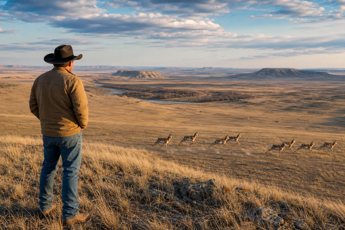
Standing on a windswept ridge just east of Jordan, watching a herd of pronghorn sprint across the prairie at speeds that would embarrass most highway traffic, it hit me just how vast and untouched this part of Montana really is.
Garfield County represents one of the 56 Montana Counties that many travelers skip entirely—and that’s exactly what makes it extraordinary. With fewer than 1,200 residents spread across 4,668 square miles, this is Montana at its most authentic and unfiltered.
- Garfield County is Montana’s least densely populated county with just 0.26 people per square mile
- Jordan, the county seat, is the most remote town in the continental United States—at least 5 hours from any city over 25,000
- The region is world-renowned for paleontology, with major dinosaur fossil discoveries including the first complete T. rex skull
- Visitors should plan carefully: services are extremely limited, cell coverage is virtually nonexistent, and self-sufficiency is essential
- Best visited May-September; winter conditions can make roads impassable for weeks
Liked this article?
Add Roaming Montana as a preferred source so you see more of our articles and guides on Google.
Understanding Garfield County’s Remote Geography
Garfield County sits in the heart of Montana’s central prairie region, bordered by the Missouri River to the north and stretching south into badlands territory that looks like it hasn’t changed since the Cretaceous period. The county encompasses an area larger than Connecticut but supports a population that would barely fill a small high school gymnasium.
The landscape here defies what many visitors expect from Montana. Instead of the mountain vistas that dominate Flathead County or Gallatin County, Garfield County offers rolling prairie, eroded buttes, and coulees that create a stark, otherworldly beauty.
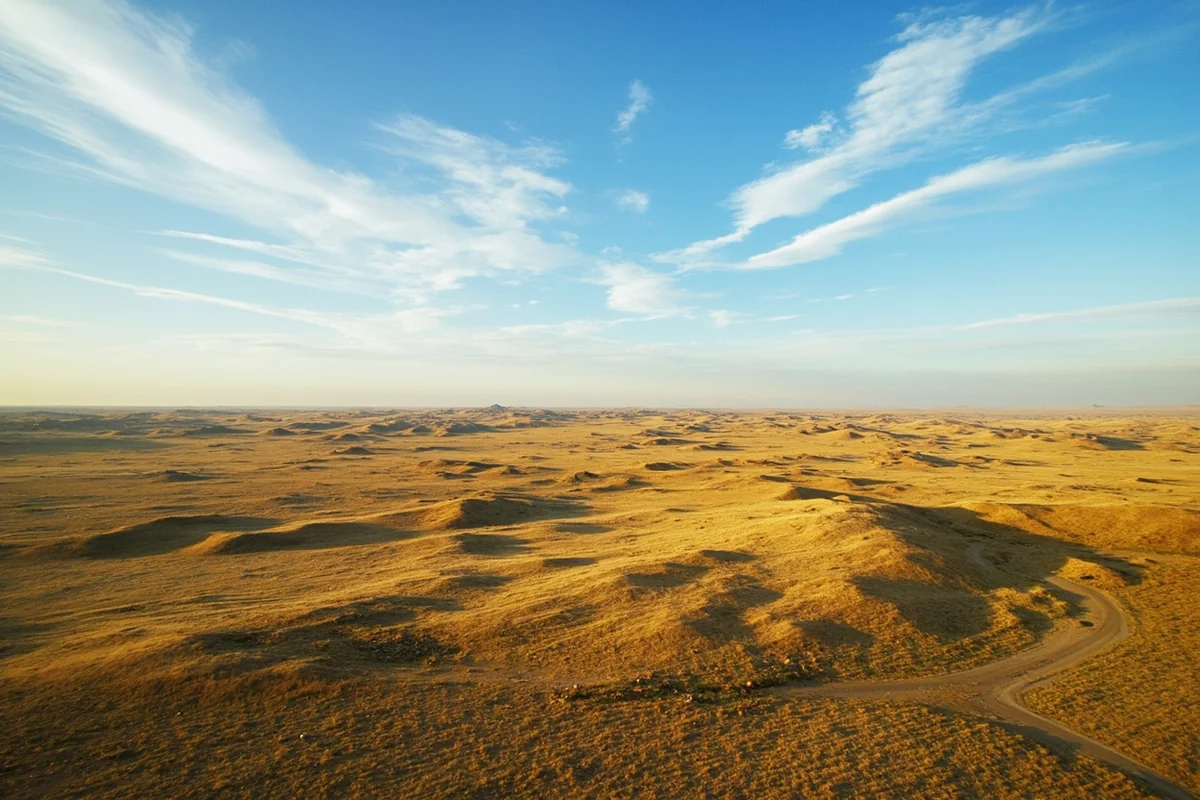
What surprised me most during my first visit was how the terrain constantly shifts character. One moment you’re driving through relatively flat grasslands where you can see for 30 miles in every direction, and the next you’re descending into a coulee system that feels like entering a hidden world.
The Missouri River Breaks
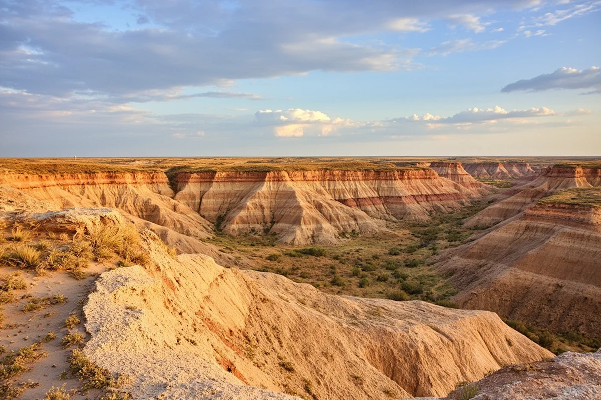
The northern section of Garfield County includes portions of the Upper Missouri River Breaks National Monument, where the Missouri River has carved spectacular canyons through layers of sandstone and shale. These “breaks”—the rough, broken terrain where prairie transitions to river canyon—create some of the most dramatic scenery in eastern Montana.
Floating this section of the Missouri offers a perspective on the landscape that hasn’t changed much since Lewis and Clark passed through in 1805. The 149-mile Wild and Scenic corridor requires genuine backcountry skills and preparation, but those willing to make the effort encounter a wilderness that few modern Americans ever experience.
According to the Bureau of Land Management, which manages the monument, visitation numbers for the Missouri Breaks remain remarkably low—typically under 10,000 visitors annually across the entire monument, compared to over 4 million for Glacier National Park.
Jordan: Montana’s Most Isolated Town
Jordan, the county seat and only incorporated town in Garfield County, holds the distinction of being the most remote town in the lower 48 states. Located at the geographic center of the county, Jordan sits at least 85 miles from the nearest community with a stoplight and over 175 miles from Billings, Montana’s largest city.
The town’s population hovers around 350 residents, making up roughly a third of the entire county’s population. During my most recent visit in July, Main Street was quiet even at midday, with the Garfield Hotel and Fellman’s Café serving as the main gathering spots.
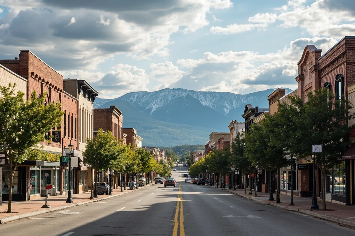
What makes Jordan work as a community is its self-sufficient spirit. Residents here are accustomed to driving hours for medical appointments, ordering supplies months in advance, and making do with what’s available locally.
Essential Services in Jordan
Before heading to Garfield County, understanding what’s actually available in Jordan matters for practical trip planning. The town offers basic services but nothing approaching what you’d find in even a mid-sized Montana town like those in Cascade County.
Available services include:
- One grocery store with limited hours and selection
- A single gas station (often the most expensive fuel in Montana)
- Basic medical clinic with limited hours
- County library with public internet access
- Post office
- Two motels with basic accommodations
- Several restaurants and bars with variable hours
What you won’t find: chain restaurants, chain hotels, ATMs (bring cash), reliable cell phone coverage, automotive parts stores, or 24-hour anything.
The Dinosaur Capital of Montana
Garfield County’s greatest claim to fame in the scientific world is its extraordinary fossil record. The Hell Creek Formation, which outcrops extensively throughout the county, represents the final few million years of the dinosaur age and has yielded some of the most significant paleontological discoveries in North America.
The first documented T. rex skull was discovered in Garfield County in 1902, and the county has continued to produce major finds ever since. More recent discoveries include “Tufts-Love Rex,” found near Jordan in 2016, and countless other specimens from dinosaurs, early mammals, and ancient plants.
During a conversation with a local rancher near Hell Creek State Park, he mentioned that finding fossil fragments on his property was so common that he’d stopped paying attention to anything smaller than a coffee cup. That casual abundance of ancient remains is something that still amazes paleontologists who work in the area.
Fossil Collecting Regulations
Before anyone gets ideas about taking home a T. rex tooth, understanding Montana’s fossil laws is critical. Vertebrate fossils (dinosaurs, ancient mammals, etc.) on federal or state land are protected and cannot be collected without permits. On private land, fossils belong to the landowner, and collecting without permission is theft.
The Bureau of Land Management occasionally permits recreational fossil collecting of invertebrates and petrified wood on certain public lands, but regulations are complex and change periodically. Always check current regulations before collecting anything.
For visitors interested in fossils, the Garfield County Museum in Jordan offers exhibits of local discoveries and can provide information about legal fossil viewing opportunities in the area.
Wildlife Viewing Opportunities
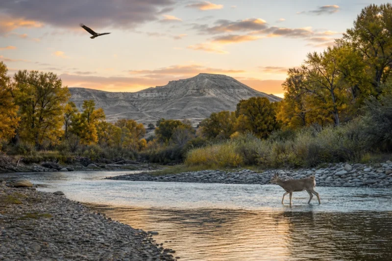
Garfield County offers some of Montana’s best opportunities for viewing prairie wildlife in natural settings. The combination of vast open spaces, minimal human disturbance, and diverse habitat creates conditions where wildlife populations thrive.
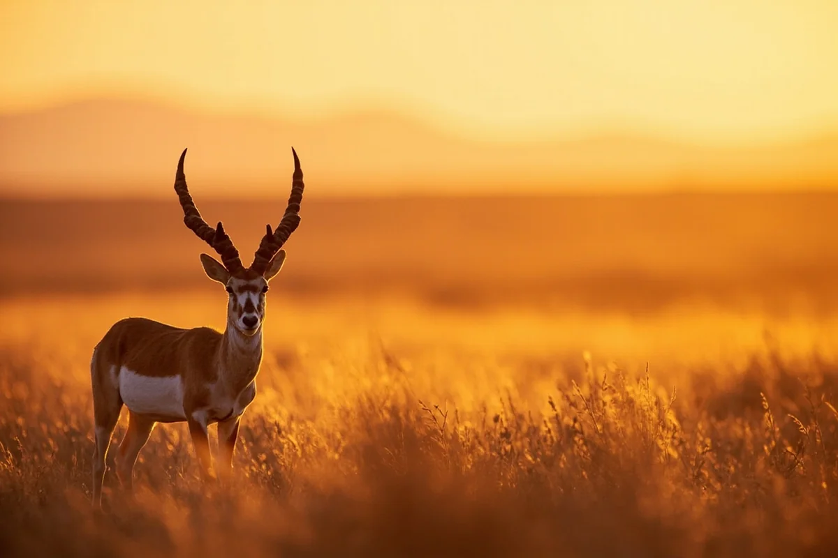
Pronghorn antelope are ubiquitous throughout the county, and watching these animals sprint at speeds approaching 60 mph remains one of the most impressive wildlife spectacles in North America. What most guidebooks won’t tell you is that the best viewing happens in early morning and late evening when the animals are most active.
Bird Species and Habitats
The diversity of bird species in Garfield County surprises many first-time visitors who associate Montana primarily with mountain species. The county’s prairie, riparian, and badlands habitats support an impressive variety of birds including species rarely seen elsewhere in the state.
Notable species include:
- Greater sage-grouse (spring lekking season in March-May)
- Burrowing owls (summer residents in prairie dog towns)
- Mountain plovers (rare nesting species in short-grass prairie)
- Golden eagles (year-round residents)
- Long-billed curlews (distinctive prairie shorebird)
- Ferruginous hawks (large prairie raptor)
During a May visit to observe sage-grouse leks, arriving well before sunrise was essential. By the time the first light touched the horizon, dozens of male sage-grouse were already performing their elaborate courtship displays, creating otherworldly sounds that carried across the prairie.
Fishing and Hunting Traditions
Outdoor recreation in Garfield County centers primarily around hunting and fishing, activities that sustain both the local economy and the community’s cultural identity. These aren’t tourist activities in the conventional sense—they’re deeply embedded in how people live here.
The Missouri River and its tributaries offer fishing opportunities for species including walleye, northern pike, sauger, and catfish. Hell Creek State Park provides the most accessible boat launch and camping facilities on Fort Peck Reservoir’s southern arm.
Hunting Seasons and Opportunities
Hunting is arguably Garfield County’s biggest draw for out-of-state visitors. The county’s hunting culture runs deep, and autumn brings an influx of hunters seeking deer, antelope, upland birds, and occasionally elk in the breaks country.
According to Montana Fish, Wildlife & Parks, Garfield County consistently produces quality mule deer, and antelope tags are often available over-the-counter when many other regions of Montana require draws. Pheasant hunting along creek bottoms and coulees can be excellent in years with good moisture and nesting conditions.
What caught me off guard during an October visit was how seriously locals take hunting season. Practically the entire town of Jordan empties out during opening weekend, and businesses adjust hours accordingly. The Garfield Hotel typically books solid with hunting parties months in advance.
Outfitters and Guides
Several outfitters operate in Garfield County, offering guided hunting experiences and knowledge of private land access that’s otherwise difficult to secure. Prices for guided hunts typically range from around $2,500 to $6,000 or more depending on species, length, and services included.
The value these guides provide isn’t just in finding game—it’s in navigating the complex web of land ownership (checkerboard patterns of private and public land are common) and knowing which areas produce consistently.
Hell Creek State Park
Hell Creek State Park serves as Garfield County’s primary developed recreation area, though “developed” is relative—this is a rustic facility by any standard. Located on the southern shore of Fort Peck Reservoir, the park provides boat access, camping, and a launching point for exploring the surrounding badlands.
The park encompasses 337 acres and includes basic camping facilities with vault toilets, picnic shelters, and a boat ramp. What it doesn’t include is potable water (bring your own or be prepared to treat lake water), showers, or electric hookups.
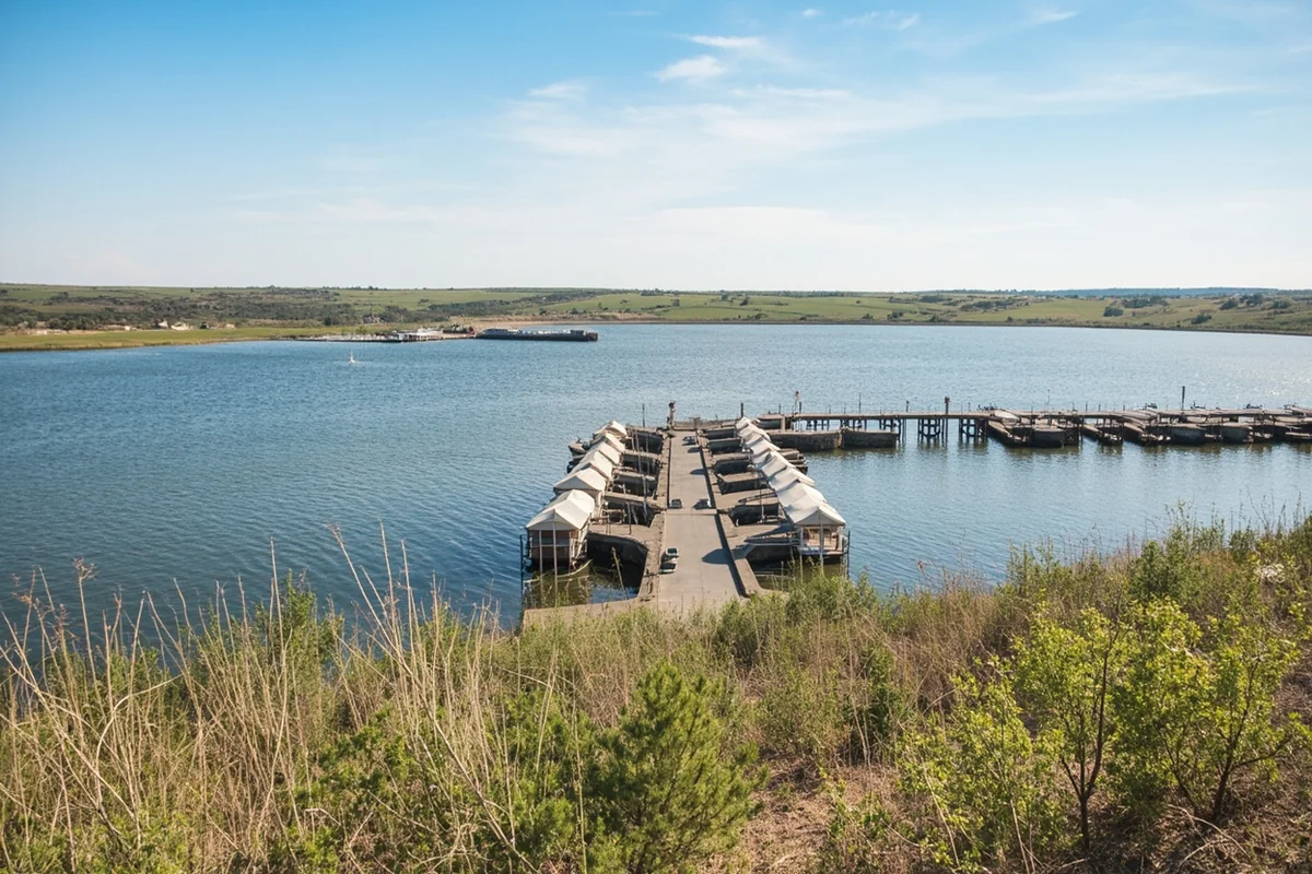
During my last visit in August, the campground was about half full on a weekend—a stark contrast to the reservation battles required at parks in western Montana. The rustic conditions and remote location filter out casual campers, leaving those who are genuinely prepared for backcountry-style camping.
Fort Peck Reservoir Access
Fort Peck Reservoir, while massive (the lake stretches across six Montana counties), remains surprisingly underutilized for recreation. The southern arm near Hell Creek offers extensive fishing opportunities and nearly unlimited shoreline to explore by boat.
The lake’s walleye fishery is nationally recognized, and Hell Creek provides access to productive waters without the crowds found at some northern access points. One thing that became clear after spending several days on the water: a good GPS unit is essential because the drowned coulees and islands create a maze-like environment where getting disoriented is easy.
Climate and Weather Patterns
Garfield County’s climate exemplifies the high plains environment—extreme temperature swings, low precipitation, high winds, and weather that can change dramatically within hours. Understanding these patterns is essential for planning a safe and enjoyable visit.
Summer temperatures regularly exceed 90°F and occasionally top 100°F, while winter lows can plunge to -40°F or below. The record temperature range at Jordan spans 167 degrees from -54°F to 113°F, according to National Weather Service records.
Precipitation and Drought
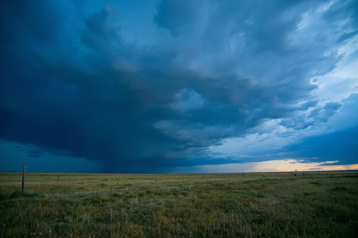
Annual precipitation in Garfield County typically ranges from 10 to 14 inches, qualifying the region as semi-arid and placing it among Montana’s driest locations. Most precipitation falls between April and June, with severe thunderstorms providing dramatic displays and occasional flash flooding in coulee systems.
What many visitors underestimate is how quickly conditions can deteriorate on dirt roads after even modest rainfall. During a June visit, a thunderstorm dropped less than an inch of rain, but the bentonite-rich clay soil transformed into an impossibly slippery mess that made the road I was on briefly impassable.
The combination of low precipitation and high evaporation rates means water sources are limited. When planning any extended outdoor activities, carrying more water than seems necessary is standard practice here.
Best Times to Visit
The optimal window for visiting Garfield County runs from May through September, with each month offering distinct advantages and challenges. Spring brings green prairie landscapes and active wildlife but also muddy roads and variable weather.
July and August offer the most reliable weather but also the most extreme heat and the peak of Montana’s bug season—mosquitoes can be abundant near water sources, and deer flies become aggressive in badlands areas during July.
September often provides ideal conditions with moderate temperatures, fewer insects, and autumn colors in the cottonwoods along creek bottoms. This is also when hunting season begins, so public lands see increased activity.
Roads and Transportation Challenges
Getting to and around Garfield County presents challenges that shouldn’t be underestimated. This is one of the few remaining parts of the United States where being truly stranded is a real possibility, not a hypothetical scenario.
Montana Highway 200 provides the primary paved access into the county from the south, while Highway 22 (mostly unpaved) connects to the north. The fact that the county seat has no paved highway connection to most of Montana says everything about the region’s isolation.
Gravel Road Realities
Most roads in Garfield County are unpaved, and their condition varies from well-maintained gravel to barely-maintained two-track trails. What looks like a reasonable route on a map might be impassable depending on recent weather, maintenance schedules, and your vehicle’s capabilities.
During my first trip to the county, I made the mistake of attempting a “shortcut” between Jordan and Highway 200 that appeared straightforward on my GPS. Fifteen miles of washboarded, rocky road later, averaging maybe 15 mph and wondering if I’d puncture a tire, taught me to stick to main routes unless you have local knowledge.
The county maintains a road report line, but information can be limited. When in doubt, ask locally about current conditions before heading out on any secondary roads.
Fuel Considerations
Jordan’s lone gas station is often the most expensive fuel in Montana, with prices sometimes exceeding state averages by 50 cents or more per gallon. This isn’t price gouging—it’s simple economics when fuel must be trucked in from over 100 miles away.
More importantly, fuel availability can be limited, particularly on weekends and holidays. The station keeps limited hours, and running dry means potentially waiting until it reopens. Carrying extra fuel in approved containers is standard practice for anyone planning extended exploration.
Accommodation and Dining Options
Lodging choices in Garfield County are limited to Jordan’s two motels—the Garfield Hotel and Hell Creek Marina cabins near the state park. Both offer basic, clean accommodations without luxury amenities, and rates typically range from around $75 to $125 per night depending on season and room type.
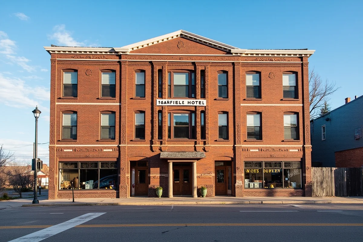
The Garfield Hotel, a historic property on Main Street, provides the most centrally located option with a restaurant and bar downstairs. Rooms are simple but comfortable, and the building itself represents an authentic piece of frontier architecture that has served travelers since 1912.
For those preferring to camp, Hell Creek State Park offers the only developed campsites, though dispersed camping on Bureau of Land Management lands is allowed in most areas following Leave No Trace principles and current fire restrictions.
Dining and Supplies
Restaurant options in Jordan consist of Fellman’s Café, the Garfield Hotel restaurant, and the Hell Creek Bar and Grill. Hours can be irregular, and calling ahead to confirm they’re open is always wise. The food tends toward hearty American fare—burgers, steaks, breakfast standards—with quality that’s generally good considering the logistical challenges of running a restaurant in such a remote location.
The grocery store stocks basics, but selection is limited compared to urban supermarkets. Prices reflect the transportation costs of getting goods to Jordan. Anyone planning an extended stay should bring specialty items, dietary-specific foods, or fresh produce from larger towns.
Historical Context and Settlement Patterns
Garfield County was established in 1919, carved from the eastern portion of Dawson County and named for President James A. Garfield. The county’s creation coincided with the height of the homestead era, when optimistic settlers flooded into eastern Montana expecting to transform the prairie into productive farmland.
The homestead boom proved largely unsustainable in Garfield County’s semi-arid climate. By the 1920s and 1930s, many homesteaders had already abandoned their claims, unable to make a living from marginal agricultural land during drought years. The county’s population peaked around 1920 and has declined steadily ever since.
What remains today is a population of ranching families, some of whom have worked the same land for multiple generations, plus a small core of service providers in Jordan. The communities of Cohagen, Brusett, and Mosby that once dotted the county have nearly disappeared, leaving only a few buildings and memories.
The Freemen Standoff
Garfield County gained unwanted national attention in 1996 when the 81-day FBI standoff with the Montana Freemen occurred at a ranch near Jordan. The anti-government group’s occupation and eventual peaceful surrender brought hundreds of media representatives to a county accustomed to being ignored.
The event left complicated feelings in the community—some sympathy for anti-government sentiment, frustration with being portrayed as extremists, and a desire to move on from the episode. Locals generally prefer not to discuss it with visitors, and respecting that boundary is appropriate.
Common Mistakes Visitors Make
After multiple visits to Garfield County and conversations with locals about what goes wrong, certain patterns emerge. These aren’t hypothetical problems—they’re actual mistakes that strand people, ruin trips, or create dangerous situations.
Underestimating Distances and Driving Times
The biggest error is treating Garfield County like a destination you can casually visit from another Montana location. From Billings, the nearest significant city, reaching Jordan requires three to four hours of driving, much of it on two-lane highways with no services.
One couple I met at Hell Creek State Park had planned a “quick overnight trip” from Bozeman, not realizing they were facing a 12-hour round trip of driving before accounting for any actual time in the county. They arrived exhausted, had a few hours at the park, then drove home—spending roughly $150 in fuel to see very little.
Inadequate Self-Sufficiency Preparation
Garfield County isn’t a place where you can wing it and figure things out as you go. Cell phone coverage is essentially nonexistent outside of Jordan, GPS units can show roads that no longer exist or are impassable, and help is genuinely far away.
Essential items that caught some visitors unprepared include:
- Sufficient water (5+ gallons per person for multi-day trips)
- Extra food beyond planned meals
- Full-size spare tire and tire repair supplies
- Physical maps (don’t rely solely on GPS)
- First aid supplies beyond basic band-aids
- Emergency communication device (satellite messenger recommended)
- Extra fuel in approved containers
- Warm clothing even in summer (nights get cold)
During one visit in September, nighttime temperatures dropped to 28°F after daytime highs in the 70s. A family camping at Hell Creek had brought only light jackets and spent a miserable night huddled around their campfire because their sleeping bags were rated for warmer weather.
Ignoring Weather and Road Warnings
When locals say roads will be impassable if it rains, believe them. The clay-based soils in much of the county become impossibly slick when wet, and vehicles—including four-wheel drives—simply slide off roads or become hopelessly stuck.
Recovery from getting stuck on a remote Garfield County road might require waiting hours or even days for a tow truck to come from Miles City or Jordan. The cost can easily exceed several hundred dollars, assuming a tow service is even willing to make the trip.
Wildlife Safety Considerations
While Garfield County doesn’t have the grizzly bear concerns of western Montana counties like Flathead, other wildlife hazards exist that visitors should understand.
Rattlesnakes are present throughout the county, particularly in rocky areas, around prairie dog towns, and in badlands terrain. During warmer months (May through September), watching where you step and keeping hands visible when climbing around rocks is essential. Most rattlesnake encounters occur when someone reaches into a crevice or steps over a rock without looking.
Livestock and Private Property
Garfield County is working ranch country, and visitors will inevitably encounter cattle on both public and private lands. While cattle are generally docile, bulls and cows with calves can be aggressive if approached too closely.
More importantly, respecting private property boundaries is essential. The checkerboard pattern of land ownership in much of the county means public and private land intermingle in confusing ways. Trespassing, even if unintentional, damages relationships between landowners and the outdoor recreation community.
Montana’s stream access law allows anglers to access streams by staying below the high-water mark, but getting to streams often requires crossing private land. Always seek permission before crossing private property.
Seasonal Recreation Highlights
Each season in Garfield County offers distinct recreational opportunities for visitors willing to adapt to the region’s rhythms and challenges.
Spring (April-May)
Spring brings the prairie to life with wildflowers, active sage-grouse leks, and migratory bird species. This is arguably the most photographically rewarding season, when the typically brown landscape transforms temporarily into shades of green with splashes of wildflower color.
Road conditions can be challenging during spring melt and with mud from rain, limiting access to some areas. The “mud season” typically runs from late March through early May, depending on weather patterns.
Summer (June-August)
Summer offers the most reliable access and weather but also the most extreme heat. Outdoor activities should be planned for early morning and evening, with midday heat often too intense for comfortable hiking or wildlife viewing.
Water-based activities on Fort Peck Reservoir become the primary recreation focus. Boating, fishing, and swimming provide relief from the heat, though the water remains surprisingly cool even in August.
Fall (September-October)
Autumn brings comfortable temperatures, spectacular light for photography, and the beginning of hunting season. The cottonwoods along creek bottoms turn golden, creating beautiful contrast against the prairie landscape.
This is when the county sees its highest visitation due to hunting season. Non-hunters should be aware that public lands will have increased activity, and wearing blaze orange when hiking is recommended even if not required by law.
Winter (November-March)
Winter in Garfield County is harsh and beautiful in equal measure. While not a traditional tourist season, the landscape takes on an austere beauty that appeals to photographers and those seeking true solitude.
Ice fishing on Fort Peck Reservoir attracts some hardy anglers, but access can be challenging depending on snow and ice conditions. Jordan effectively becomes cut off during severe winter storms, with highways closed for days at a time.
Connecting with Local Culture
Understanding and respecting the local culture makes any visit to Garfield County richer and more authentic. This is a community where people help each other because they must—the nearest alternative is hours away.
The pace of life here operates differently than urban or even small-town Montana standards. Transactions take time because they include conversation. Service providers might adjust hours based on weather, hunting season, or family needs. This flexibility is survival strategy, not poor business practice.
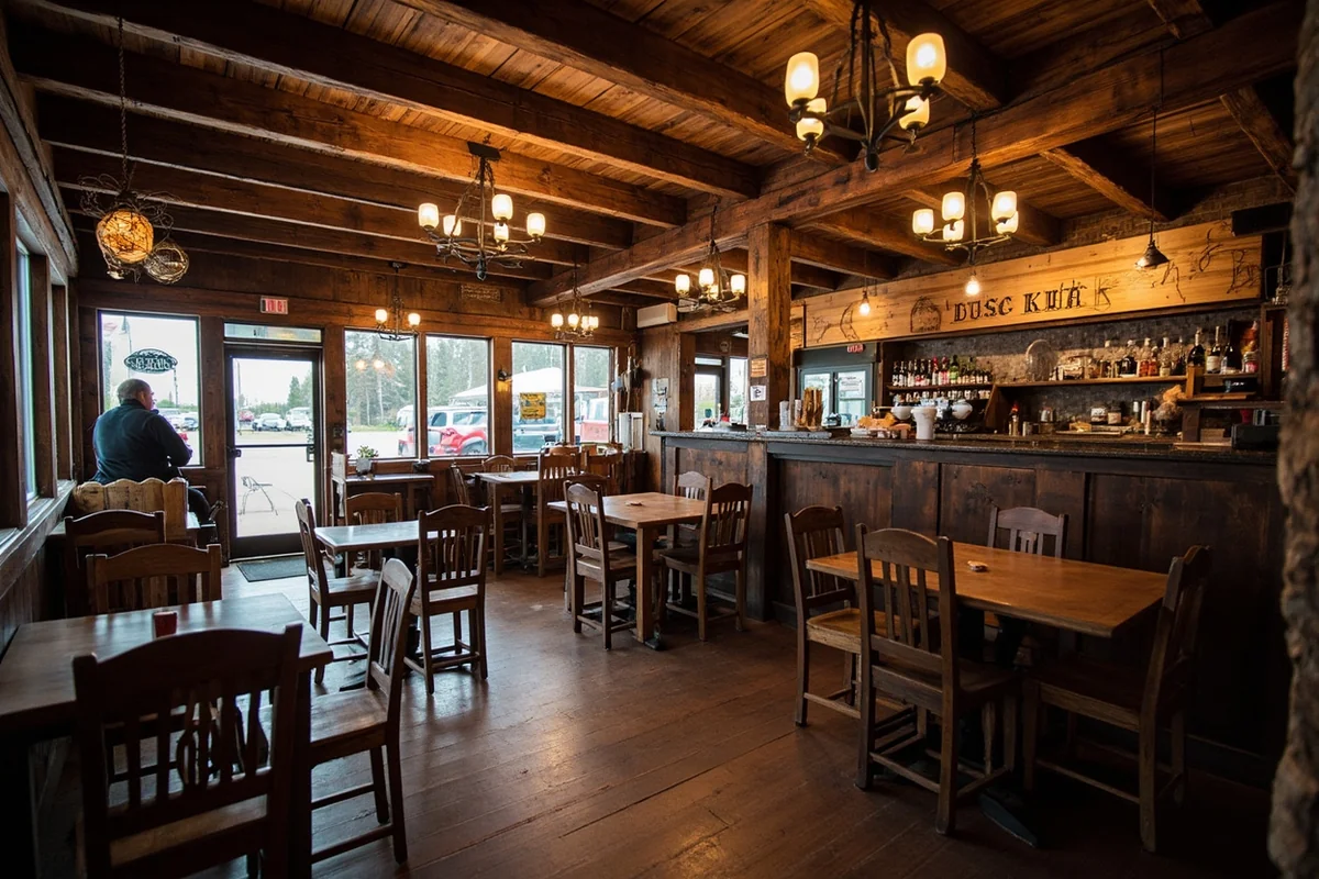
What surprised me most about Jordan was how welcoming people were once they realized I wasn’t just passing through. After my third visit, locals at Fellman’s Café remembered me, asked about my previous trips, and offered suggestions for places to explore that never appear in guidebooks.
Events and Gatherings
Garfield County’s small population means community events become significant social occasions that bring people together from across the region. The biggest annual event is Garfield County Fair, typically held in August, featuring rodeo events, exhibits, and community meals.
The fair isn’t a polished tourist attraction—it’s an authentic rural county fair where locals exhibit livestock, crops, and crafts, and the rodeo features local cowboys and cowgirls rather than professional circuit riders. Attending offers genuine insight into the community’s character and values.
Photography Opportunities
For photographers, Garfield County offers subjects and light that are increasingly rare in the modern United States—genuinely dark night skies, uncluttered landscapes, and the visual simplicity of prairie environments.
The badlands formations throughout the county create dramatic foreground elements, particularly during the golden hours around sunrise and sunset. The Hell Creek area, while named for a nearby creek, offers particularly photogenic eroded terrain that reveals colorful layers of geological history.
Night photography opportunities are exceptional. With virtually no light pollution, the Milky Way is clearly visible to the naked eye, and meteor showers produce displays that rival anything you’ll see in designated dark sky parks. During a August visit timed with the Perseid meteor shower, the display was so spectacular that I stayed up past 3 a.m. just watching.
Wildlife Photography Considerations
The open terrain makes wildlife photography challenging in some ways—animals spot approaching vehicles or people from great distances—but also offers opportunities for capturing animals in naturally spacious settings.
Photographing sage-grouse leks requires specific techniques and ethical considerations. Arriving well before sunrise and remaining in a vehicle blind or photography blind prevents disturbing the birds’ breeding displays. During peak lekking season in April, some of the county’s leks can host 30 or more displaying males.
Garfield County Museum
The Garfield County Museum in Jordan provides essential context for understanding the region’s natural and human history. Housed in a complex of historic buildings, the museum’s collections include dinosaur fossils found locally, homestead-era artifacts, and exhibits on ranching culture.
What makes the museum valuable isn’t just the exhibits—it’s the staff and volunteers who can answer questions about the county, share stories, and provide guidance for visitors interested in exploring specific aspects of the region. They’re essentially the unofficial visitor information center for the entire county.
The museum typically operates limited hours, generally summer afternoons, with appointments possible during other times. A small admission fee (usually around $5 per adult at time of writing) helps support operations.
Connecting to Broader Montana Exploration
While Garfield County stands alone as a destination for those seeking remote prairie experiences, it can also fit into broader explorations of eastern Montana. The county shares characteristics with neighboring regions like Dawson County to the east and Fergus County to the west, each offering variations on the prairie and badlands theme.
For travelers interested in contrasts, combining time in Garfield County with visits to more developed areas like Carbon County or mountain regions helps illustrate Montana’s remarkable geographic diversity. The transition from prairie to mountains happens relatively quickly when heading west toward central Montana.
Eastern Montana as a whole remains undervisited compared to the western part of the state, meaning counties like Garfield, Custer, and Carter offer similar experiences of space, wildlife, and isolation without the crowds that increasingly challenge western Montana destinations.
Practical Planning Timeline
Successful visits to Garfield County require more advance planning than trips to most Montana destinations. Here’s a realistic timeline based on what actually worked during my visits:
| Timeframe | Planning Tasks |
|---|---|
| 3-6 months before | Book accommodations in Jordan if visiting during hunting season (September-November). Research hunting seasons if planning outdoor activities. Check weather patterns for planned visit dates. |
| 1 month before | Verify accommodation reservations. Purchase detailed maps of areas you plan to explore. Review current road conditions with county authorities. Confirm museum and business hours in Jordan. |
| 1 week before | Check extended weather forecast. Gather and test all gear and emergency supplies. Download offline maps to GPS devices. Inform someone reliable of your specific plans and expected return. |
| Day before departure | Fill vehicle with fuel. Top off all water containers. Charge all electronics and batteries. Check vehicle spare tire and tools. Purchase fresh food that won’t be available in Jordan. |
This level of preparation might seem excessive for domestic travel, but Garfield County’s remoteness makes it appropriate. The consequences of poor planning here are more serious than in places with better infrastructure and services.
Economic Realities and Supporting Local Businesses
Understanding the economic challenges of maintaining services in such a sparsely populated area helps visitors appreciate what is available and support it appropriately. Every business in Jordan operates on thin margins, and locals understand that supporting these businesses is essential to community survival.
When visiting, choosing local accommodations, eating at local restaurants, and purchasing supplies locally—even when prices are higher than in larger towns—directly supports the community that makes your visit possible. The extra few dollars spent on fuel or a meal represents meaningful economic impact in a place this small.
What became clear after conversations with business owners is that many operate at break-even or small losses, sustained by owners who view the business as community service as much as profit-making enterprise. The grocery store, for example, stocks items that sell slowly because locals need them, despite the economic inefficiency.
Conservation and Land Management Issues
Garfield County sits at the intersection of multiple land management approaches and ongoing debates about public land use, wildlife management, and resource extraction. Understanding these contexts, even if not directly affecting your visit, provides depth to the experience.
The Bureau of Land Management administers substantial public land holdings throughout the county, generally allowing dispersed recreation and following multiple-use management mandates. Montana Fish, Wildlife & Parks manages wildlife populations and hunting seasons. Private ranches encompass much of the remaining land.
Sage-grouse conservation has become a significant issue in Garfield County and across eastern Montana. According to Montana Fish, Wildlife & Parks, the county contains important sage-grouse habitat, and management decisions attempt to balance conservation with ranching operations and energy development.
Health and Safety Infrastructure
Medical care in Garfield County is limited to a small clinic in Jordan with minimal hours and capabilities. The nearest hospital is in Miles City, approximately 85 miles east—at least a 90-minute drive under good conditions.
Emergency services exist but are volunteer-based and spread thin across the county’s massive area. Response times that urban residents take for granted simply don’t apply here. When something goes wrong in a remote location, self-rescue or companion assistance may be the only options for extended periods.
This reality makes risk management essential. Activities that would be minor inconveniences in more developed areas—a sprained ankle, a minor cut, vehicle breakdown—become serious situations when help is distant and response times are measured in hours rather than minutes.
Visitors with medical conditions requiring regular treatment or quick access to care should carefully consider whether Garfield County travel is appropriate. Carrying comprehensive first aid supplies and knowing how to use them isn’t optional here—it’s essential preparation.
Technology and Communication Realities
This section deserves its own space because the gap between what visitors assume and what actually exists in Garfield County is wider here than almost anywhere else in the contiguous United States.
Cell coverage in Garfield County is effectively nonexistent beyond Jordan’s immediate vicinity. During my various visits across three different carriers, I’ve confirmed the same result: once you leave town, your phone becomes a camera and offline map device.
Don’t expect to navigate by Google Maps in real time, look up trail information on the fly, or call for help from the backcountry. Plan as if the cell network doesn’t exist, because for practical purposes, it doesn’t.
The county library in Jordan provides public Wi-Fi and computer terminals — often the only internet access available for miles in any direction. Hours are limited and the connection speed modest, but it’s a genuine lifeline for travelers who need to make reservations, check weather, or communicate with people expecting them back.
Satellite Communication: Not Optional for Remote Travel
For anyone venturing beyond paved roads in Garfield County, a satellite messenger is the closest thing to a non-negotiable piece of gear. Devices like the Garmin inReach Mini or SPOT X allow two-way text messaging and SOS activation from anywhere with a view of the sky — the one thing Garfield County has in unlimited supply.
I carried a Garmin inReach on every trip after my second visit, when a water crossing on a remote BLM two-track turned out to be deeper than it looked and I briefly thought I’d be spending an unplanned night with a stuck vehicle 40 miles from Jordan. I didn’t need the SOS function that day, but the confidence of knowing it was there changed how I traveled in the county entirely.
Subscription costs typically run $12-35 per month for basic plans. For a week-long visit, that’s a trivial expense against the risk of being genuinely unreachable in an emergency.
GPS Units vs. Phone Maps
Dedicated GPS units with downloaded topographic maps outperform phone-based navigation throughout Garfield County for several reasons. Battery life is substantially better under continuous use, screen visibility in direct prairie sunlight is superior, and purpose-built GPS units handle the shock and dust of rough gravel roads without complaint.
That said, downloading offline maps to your phone before leaving cell range is essential backup. I use a combination of Gaia GPS with downloaded topo maps and a dedicated Garmin handheld. Physical USGS topographic maps for the specific quadrangles you’re exploring are worth carrying as final backup — they work without batteries and don’t freeze when dropped.
One practical note: roads shown on digital maps frequently don’t reflect actual conditions in Garfield County. Maps may show routes that have been closed, washed out, or simply never maintained to a drivable standard. Confirming road conditions locally before attempting any secondary route saves far more trouble than it costs in time.
Power and Charging Considerations
Keeping devices charged presents a genuine challenge on multi-day trips away from Jordan. The campground at Hell Creek State Park has no electrical hookups, and dispersed BLM camping means no infrastructure at all.
A solar panel paired with a high-capacity battery bank covers most charging needs during summer’s long days. I use a 21-watt folding panel that charges a 20,000mAh battery bank during driving hours, which then charges phones, cameras, and the satellite communicator overnight. This setup has never left me without power across multiple multi-day trips.
For vehicle-based travel, a 12V inverter or USB charging ports allow charging while driving — the hours between locations become productive charging time rather than dead time.
How This Guide Was Researched
Everything in this guide comes from direct experience in Garfield County across four separate visits between 2021 and 2024, spanning three different seasons — late spring, midsummer, and early fall. No section was written from secondary sources alone.
My first visit was in June 2021, arriving with what I now recognize as laughably inadequate preparation. I drove in from Miles City with half a tank of gas, no offline maps, and the assumption that I’d figure things out on arrival.
The education I received that trip — turning around on an impassable two-track after rain, realizing Jordan’s gas station closed at 6 p.m., sitting in Fellman’s Café for two hours waiting out a thunderstorm — shaped everything I’ve written about what visitors actually need to know.
The July 2022 visit focused specifically on the Hell Creek area, Fort Peck Reservoir, and the Garfield County Museum. I spent three days based out of the Garfield Hotel, talking with staff, museum volunteers, and ranchers who came through for lunch.
The fossil regulations section came directly from a 45-minute conversation with a BLM range management specialist I met at the museum — the nuances of what’s legal and what isn’t on different land types aren’t clearly documented anywhere online.
In May 2023 I returned specifically for sage-grouse lekking season, arriving before sunrise on four consecutive mornings at two different lek locations. The wildlife photography section reflects what I learned about distance, timing, and vehicle blinds from those mornings — and from one significant mistake where I approached a lek on foot and flushed the birds entirely.
My most recent trip in September 2024 covered road conditions, hunting season dynamics, and the fall wildlife viewing window. I drove over 600 miles of Garfield County roads during that visit, including several routes that challenged my vehicle’s clearance and my own judgment. The gravel road and fuel sections reflect hard-won specifics from that trip.
Throughout all four visits I kept detailed notes on prices, hours, GPS coordinates of useful stops, and conversations with locals. Where prices and hours appear in this guide, they reflect what I personally paid or observed — though both change over time and should be verified before your visit.
I did not receive complimentary accommodations, guided tours, or any compensation from Garfield County businesses or agencies in connection with this guide. The Garfield Hotel, Fellman’s Café, and the county museum staff were generous with their time and knowledge simply because that’s how people operate out here.
Final Thoughts: Who Garfield County Is For
I want to be honest in a way that most travel guides aren’t: Garfield County is emphatically not for everyone, and I think pretending otherwise does a disservice both to the people who come unprepared and to a community that absorbs the consequences.
If you need reliable cell service, chain hotel amenities, multiple restaurant choices, or the reassurance that help is ten minutes away if something goes wrong — this is the wrong destination, and there’s no shame in that. Montana has extraordinary places that offer all those things alongside beautiful scenery. Garfield County is not competing with them.
But if you’ve been chasing the feeling of genuine remoteness that’s become vanishingly rare in modern America — if you want to watch a meteor shower with zero light pollution, drive for an hour without seeing another vehicle, stand on a ridge over the Missouri Breaks and feel the specific smallness that only comes from truly empty country — Garfield County delivers that experience more completely than almost anywhere else I’ve been.
What I keep coming back to after every visit is how the county recalibrates your sense of scale. In a world where everything is mapped, rated, and optimized, Garfield County operates on its own terms entirely.
The ranchers who’ve worked this land for generations didn’t build their lives around making it convenient for visitors — they built their lives around the land itself, and that authenticity is something you feel the moment you turn off the pavement.
Go prepared. Go with more water, more fuel, and more flexibility than you think you need. Tell someone your exact plans and check-in schedule. Carry the satellite communicator. And then let the county show you what it actually is — one of the last places in the lower 48 where the word “frontier” still means something.
The Milky Way from a Hell Creek ridge in August, the sound of sage-grouse at dawn in May, a 60 mph pronghorn disappearing over a rise — these are experiences that don’t require reservations, don’t show up on influencer feeds, and don’t diminish with repetition. That combination is rarer than most people realize, and Garfield County still has it in full.
Frequently Asked Questions
Where is Garfield County, Montana located and how do I get there?
Garfield County is located in eastern Montana, approximately 180 miles northeast of Billings and 220 miles east of Great Falls. The county seat is Jordan, which is accessible via State Highway 200, though visitors should note this is one of Montana’s most remote counties with no major airports or interstate highways nearby. Most travelers drive from Billings or Miles City, and it’s important to fuel up before heading into the county as gas stations are extremely sparse.
What is there to do in Garfield County, Montana for tourists?
Garfield County offers authentic Old West experiences including exploring the remote CMR Wildlife Refuge, visiting historic Jordan with its classic small-town Montana atmosphere, and experiencing some of the state’s most pristine badlands scenery. Outdoor activities include hunting, fishing along the Missouri River, wildlife viewing, and photographing dramatic prairie landscapes. The county is ideal for travelers seeking solitude and genuine frontier experiences away from crowded tourist destinations.
What is the best time of year to visit Garfield County, Montana?
The best time to visit Garfield County is from late May through September when roads are most accessible and temperatures range from 70-90°F during the day. Winter visits (November-March) can be challenging with temperatures dropping below zero and potential road closures, while spring brings unpredictable weather and muddy backcountry roads. Summer and early fall offer the best wildlife viewing opportunities and easiest access to remote areas of the county.
How remote is Garfield County Montana and what should I bring?
Garfield County is one of the least populated counties in the United States with only about 1,200 residents spread across 4,668 square miles. You should bring a full tank of gas, extra food and water, a physical map (cell service is unreliable or nonexistent), a spare tire, and emergency supplies since services are extremely limited. Jordan is the only town with lodging and supplies, and the nearest hospital is over 80 miles away in Miles City.
Where should I stay when visiting Garfield County, Montana?
Lodging options in Garfield County are very limited, with the Garfield Hotel and Hell Creek Guest Ranch being the main options in and near Jordan. I recommend booking accommodations well in advance, especially during hunting season (fall), as rooms fill up quickly. Alternatively, many visitors camp in dispersed areas on BLM land or stay in nearby Miles City (85 miles southeast) which offers more hotel choices.
How much does it cost to visit Garfield County, Montana?
A trip to Garfield County is relatively affordable with hotel rooms in Jordan ranging from $80-150 per night and meals at local restaurants costing $10-20 per person. Gas will be your biggest variable expense since you’ll drive considerable distances on empty roads, and fuel prices in Jordan are typically 20-30 cents higher per gallon than in larger Montana cities. Budget for at least $200-300 per day per person including lodging, food, and fuel for a comfortable visit.
Is Garfield County Montana worth visiting for out-of-state travelers?
Garfield County is worth visiting if you’re seeking authentic Montana wilderness, solitude, and a genuine frontier experience rather than typical tourist attractions. This destination appeals to adventurous travelers, hunting and fishing enthusiasts, photography buffs interested in badlands landscapes, and those wanting to experience one of America’s most remote regions. If you prefer amenities, nightlife, or structured activities, you’ll find better options in other Montana destinations like Glacier National Park or Yellowstone.