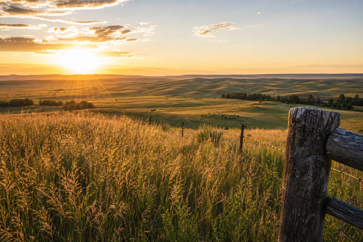
Standing at the edge of a wheat field outside Ryegate on a June morning, watching the sun cast long shadows across rolling prairie hills, it struck me how few travelers ever make it to Montana’s smallest county by population.
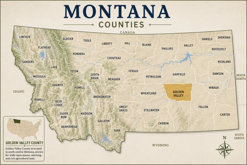
Golden Valley County holds just over 800 souls across 1,175 square miles of ranch country, yet this slice of central Montana offers something increasingly rare: an unfiltered look at rural American life where ranching traditions haven’t been diluted by tourism. Among the 56 Montana counties, this one stands out not for what it has, but for what it hasn’t lost.
- Golden Valley County is Montana’s least populated county with around 850 residents spread across vast prairie and foothill landscapes
- Ryegate (population ~250) and Lavina (population ~180) are the only incorporated towns, offering authentic small-town experiences
- The county sits in Montana’s agricultural heartland with working cattle ranches, dryland wheat farms, and genuine cowboy culture
- Fossil hunting, wildlife viewing, and backcountry exploration attract visitors seeking off-the-beaten-path adventures
- Limited services mean advance planning is essential—fuel up before you arrive and bring supplies
- Best visited May through October; winter access can be challenging on county roads
Liked this article?
Add Roaming Montana as a preferred source so you see more of our articles and guides on Google.
Understanding Golden Valley County’s Geography and Character
Golden Valley County occupies a transition zone where Montana’s Great Plains begin their gradual rise toward the mountains. The landscape here doesn’t announce itself with dramatic peaks or painted canyons—instead, it unfolds in subtle waves of grassland, coulees, and scattered pine breaks.
The Musselshell River forms the county’s northern boundary, carving through sedimentary layers that date back millions of years. During my first drive along Highway 12 through the county, what appeared flat from a distance revealed itself as surprisingly contoured terrain once you’re moving through it.
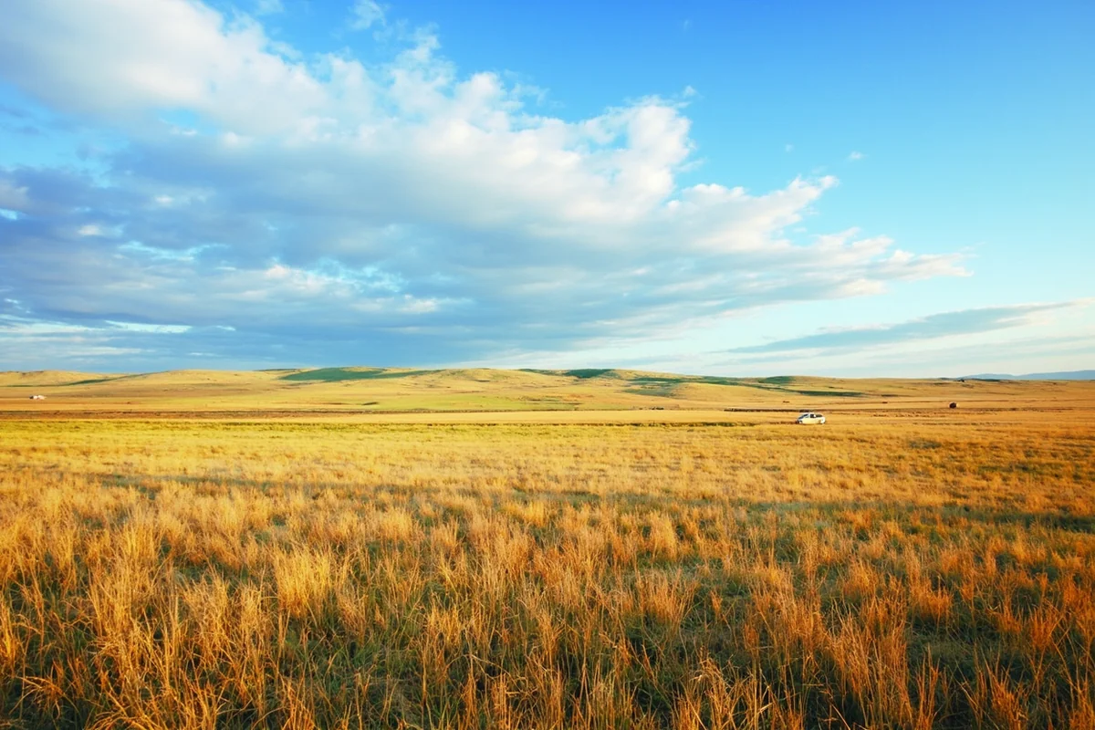
The county’s elevation ranges from roughly 3,200 feet along the Musselshell River to over 5,000 feet in the southern foothills. This gradient creates microclimates that ranchers have learned to work with over generations—the river bottoms supporting hay production while upland benches provide grazing grounds.
Why “Golden Valley” Matters
The county earned its name from the golden hue that wheat fields and native grasses take on during late summer. Driving through in August, you’ll understand immediately—the entire landscape seems to glow under the afternoon sun, creating a color palette that shifts from amber to bronze as evening approaches.
This isn’t high desert territory like some eastern Montana regions. Golden Valley receives enough precipitation—typically 12 to 16 inches annually—to support dryland farming and substantial grass growth, though ranchers here will tell you that timing matters more than totals.
The Towns: Ryegate and Lavina
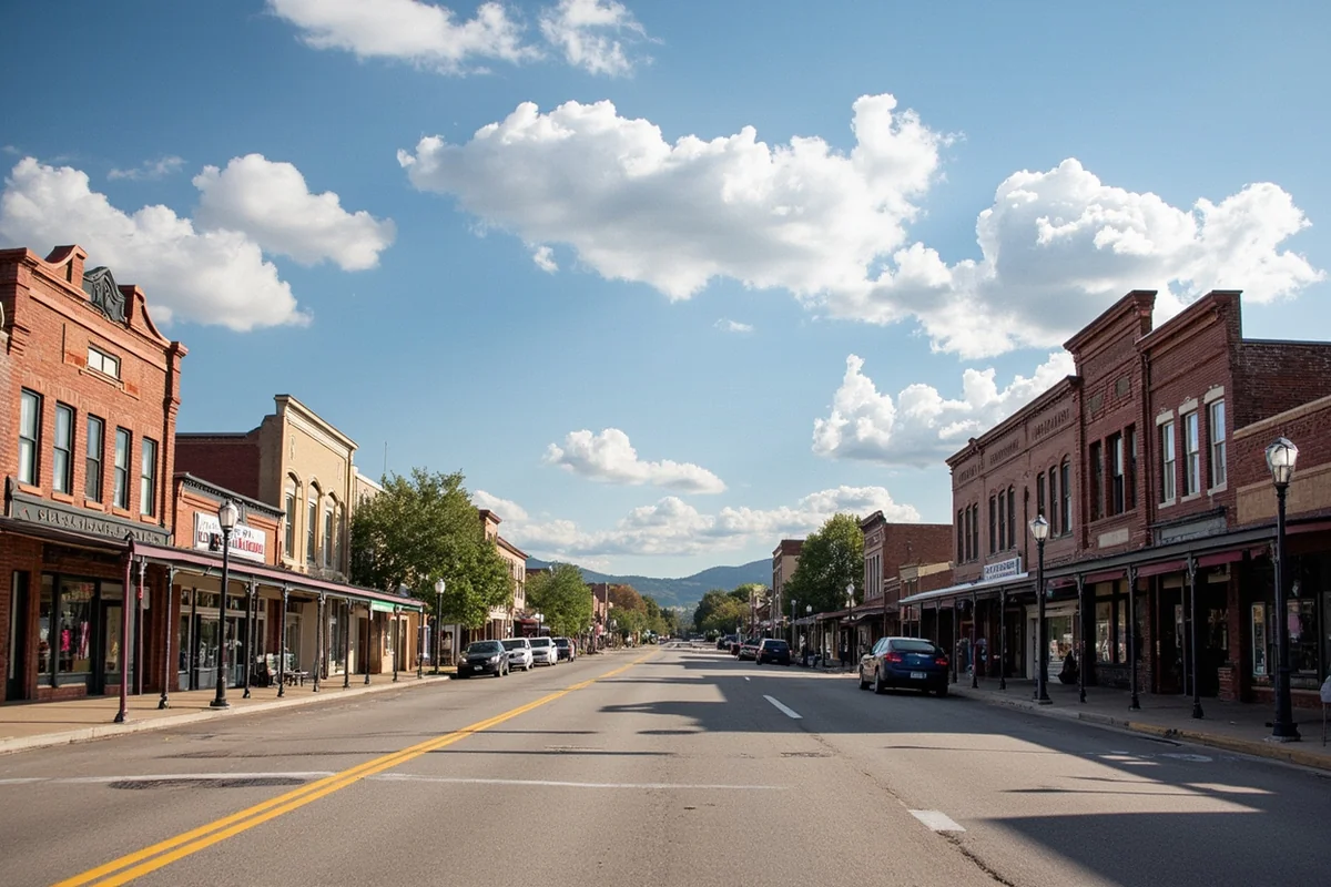
Golden Valley County contains two incorporated towns, and calling them “small” barely captures the reality. These aren’t tourist destinations with curated main streets—they’re functioning agricultural service centers where local ranchers pick up supplies and the school serves as a community hub.
Ryegate: The County Seat
Ryegate sits along Highway 12 in the northern part of the county, home to roughly 250 people and the county courthouse. The town’s layout reflects its railroad heritage—the Milwaukee Road once ran through here, though the tracks are long gone.
What surprised me most about Ryegate was the sense of community resilience. The local school combines elementary and high school grades in one building, and residents have fought to keep it open despite declining enrollment—a common battle in rural Montana counties like nearby Garfield County.
The town has a post office, a combination bar and café, and a small grocery that stocks basics. Don’t expect extensive hours—many businesses operate on schedules that accommodate local ranchers, which means early mornings and potential midday closures.
Lavina: Southern Gateway
Lavina anchors the southern end of the county where Highway 3 intersects with local roads heading toward the Bull Mountains. With a population around 180, it’s even smaller than Ryegate but serves as a critical supply point for ranches in the southern portion of Golden Valley and northern areas of neighboring counties.
During a stop at Lavina’s only café last September, conversations at neighboring tables covered cattle prices, upcoming school events, and weather predictions. The weather talk wasn’t small talk—accurate forecasting matters when you’re deciding whether to move cattle or harvest crops.
The town celebrates Lavina Heritage Days each summer, drawing former residents back for reunions and rodeo events. If you happen to visit during this weekend, typically in July, you’ll see the community at its most animated.
Ranching Heritage and Agricultural Landscape
Golden Valley County is working ranch country, pure and simple. The economy runs on cattle, wheat, and increasingly on hay production that serves markets across Montana and beyond.
Understanding the Ranching Operations
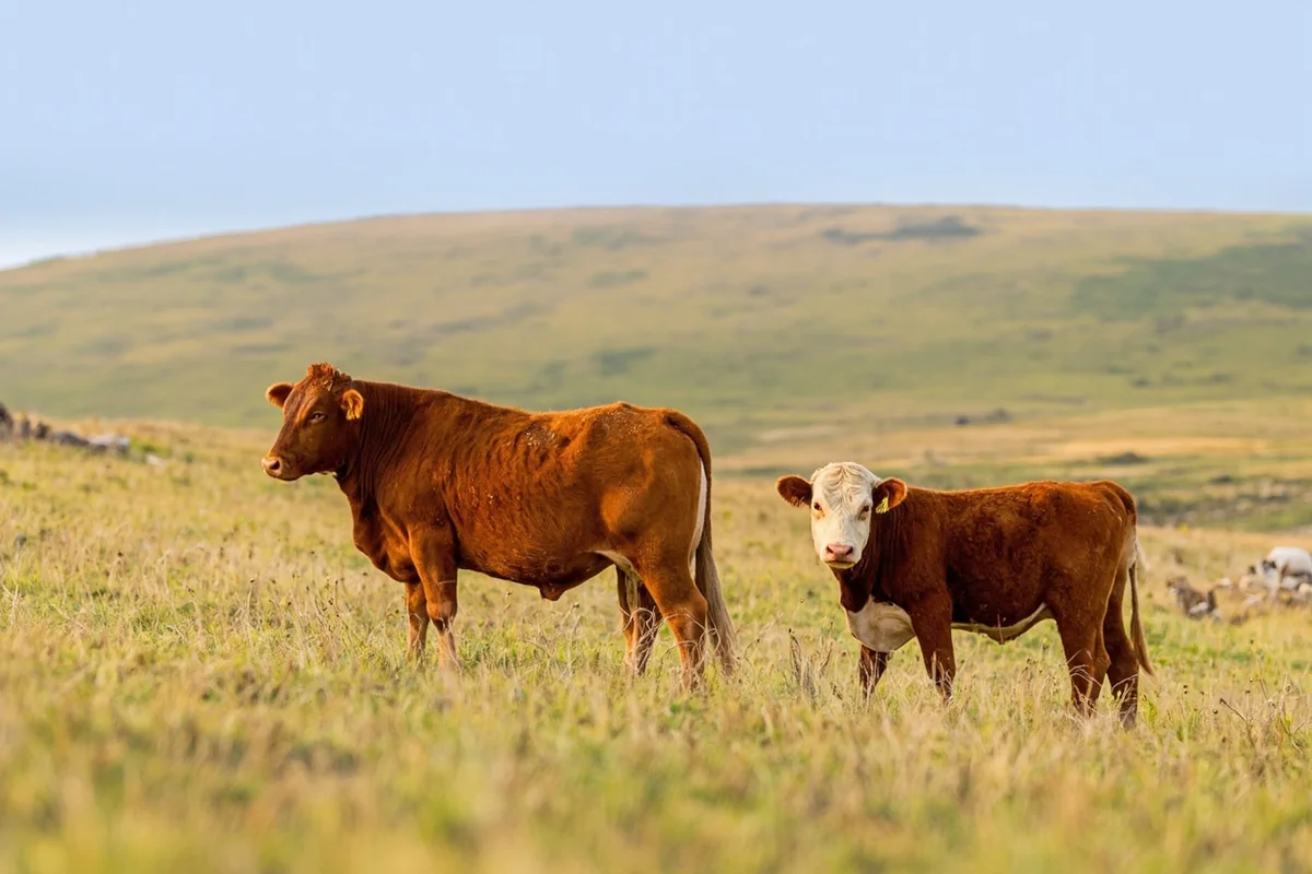
The ranches here run substantial operations—spreads of several thousand acres aren’t uncommon. What differs from mountain valley ranching you might see in places like Beaverhead County is the scale and the challenges of working open prairie.
Fencing alone represents a massive undertaking. One rancher explained to me that maintaining miles of fence line across rolling terrain, through temperature extremes that can swing 100 degrees between winter lows and summer highs, requires constant vigilance. Spring checks reveal winter damage, and summer storms bring down sections that need immediate repair.
The grazing patterns follow seasonal rhythms refined over generations. Cattle spend summers on upland ranges where native grasses grow thick, then move to lower ground and supplemental feeding as winter approaches.
Agricultural Cycles and Visitor Timing
Understanding the agricultural calendar helps you appreciate what you’re seeing. Spring (April-May) brings calving season and planting—ranches are at their busiest and least accessible to visitors. Summer (June-August) means haying operations and cattle on range, with harvest beginning in late summer.
Fall (September-October) sees cattle roundups and wheat harvest completion. The county takes on particular beauty during this season when crops are coming off and the landscape shows its golden namesake quality at peak intensity.
Winter (November-March) is quiet—ranches settle into feeding routines, and county roads can become challenging. This isn’t ideal visitor season unless you’re specifically interested in winter ranch life or have connections with local landowners.
Exploring Golden Valley County’s Backcountry
The county’s recreation opportunities lean heavily toward self-guided exploration rather than developed attractions. This appeals to visitors seeking solitude but requires more planning than typical Montana destinations.
Bull Mountains Access
The southern portion of Golden Valley County extends into the Bull Mountains, a series of pine-covered hills and buttes rising from surrounding plains. This area offers some of the county’s best opportunities for wildlife viewing and backcountry exploration.
Access requires navigating county roads and understanding land ownership patterns. Much of the area consists of private ranchland interspersed with Bureau of Land Management parcels. The BLM sections are open to public use, but reaching them often means crossing private land, which requires permission.
Montana’s stream access law doesn’t help much here since most drainages are intermittent. The practical approach involves stopping at ranches to ask permission, which locals tell me works more often than you’d expect if you’re respectful and clear about your intentions.
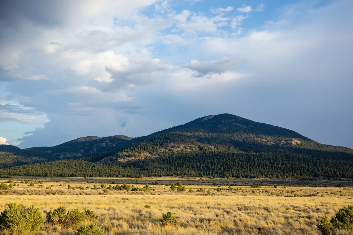
During a September hike into BLM land south of Lavina, what caught me off guard was the density of wildlife sign—fresh elk tracks, deer trails crossing every drainage, and evidence of black bears working over logs for grubs. This isn’t wilderness in the alpine sense, but it’s remarkably wild country that few people explore.
Musselshell River Access
The Musselshell River forms Golden Valley County’s northern boundary with Wheatland and Musselshell counties. This modest river—really more of a large stream in many sections—flows through cottonwood bottoms that contrast sharply with surrounding prairie.
Fishing here focuses on brown trout and some pike in deeper pools. Don’t expect trophy waters, but what the Musselshell lacks in size it offers in solitude. During a June fishing attempt near the Highway 12 crossing, the only other person around was a rancher checking irrigation equipment.
According to Montana Fish, Wildlife & Parks, the Musselshell sees minimal fishing pressure in this stretch. The river’s sinuous course creates pockets where trout hold, though accessing them means dealing with thick riparian vegetation and occasional private land sections.
Fossil and Mineral Hunting
Golden Valley County’s geology includes Hell Creek Formation exposures in some areas—the same formation that yields dinosaur fossils in places like Garfield County to the north. While major fossil discoveries aren’t common, invertebrate fossils and petrified wood occur in various locations.
One local landowner showed me fragments of petrified wood and ancient shells he’d collected from a wash on his property over the years. The fossils weren’t museum-quality specimens, but finding them yourself adds a dimension to understanding the landscape’s deep history.
Important legal note: fossil collection on federal land is permitted for personal use (not sale) for common invertebrate and plant fossils. Vertebrate fossils—anything with a backbone—require permits and professional excavation. On private land, you must have explicit permission from the landowner.
Wildlife Viewing Opportunities
Golden Valley County’s sparse human population creates excellent wildlife habitat across both private ranches and public lands. The diversity surprises many first-time visitors expecting only prairie species.
Large Mammals
Mule deer are abundant throughout the county, particularly in broken terrain where coulees and draws provide cover. Whitetail deer concentrate along the Musselshell River bottoms and in timbered portions of the Bull Mountains.
Elk populations have expanded into the Bull Mountains and adjacent areas in recent decades. These aren’t the massive herds you’d encounter in Gallatin County mountain ranges, but groups of 20-50 animals occur regularly, and bulls in the area can be respectable in size.
Pronghorn antelope use the open prairie sections, particularly in the central and western portions of the county. Early morning drives along Highway 12 or county roads often reveal small bands feeding on range or bedded on hillsides where they can watch for predators.
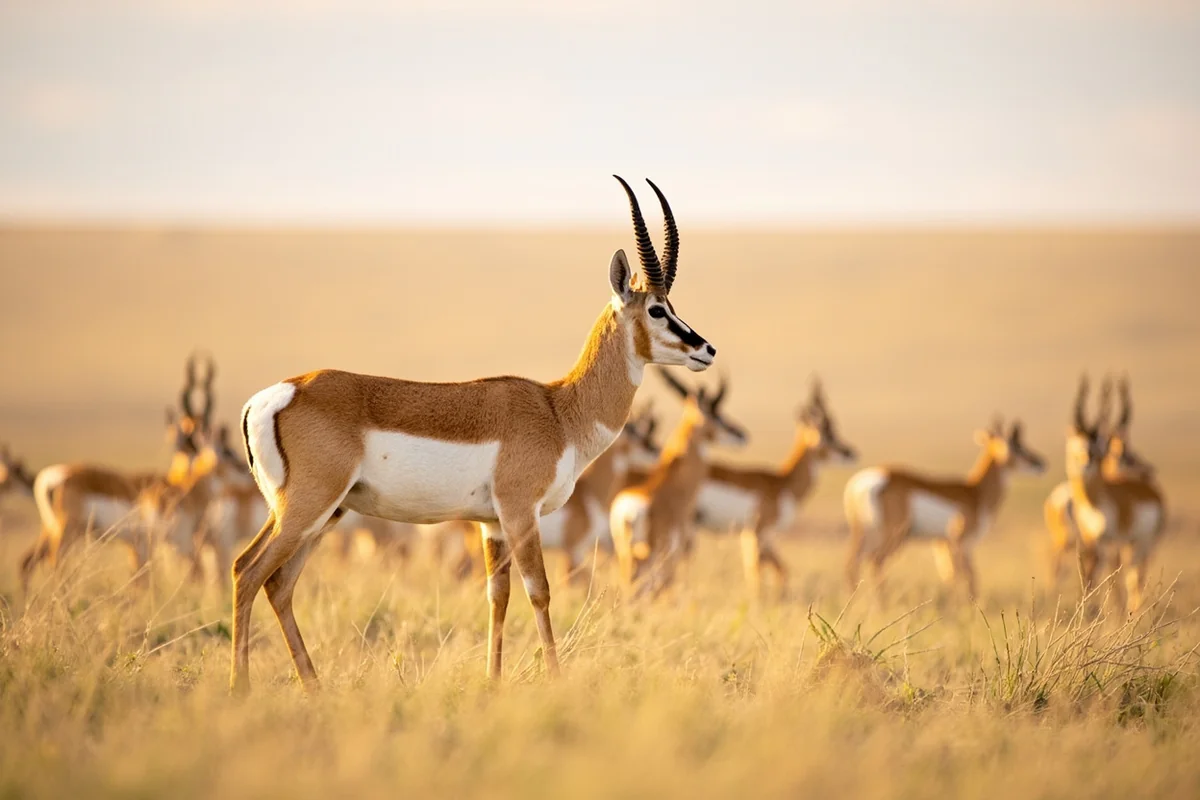
Black bears inhabit the timbered breaks and Bull Mountains, though they’re seldom seen due to low human activity and the bears’ wariness. Mountain lions move through as well—ranch families occasionally report livestock losses to predation.
Bird Diversity
The county’s bird life reflects its position in Montana’s prairie ecosystem. Grassland specialists like long-billed curlews, upland sandpipers, and various sparrow species nest in native prairie sections. Their calls and display flights add a soundtrack to spring and summer visits.
Raptors are particularly noticeable. Golden eagles hunt across open country, prairie falcons nest on cliff faces, and Swainson’s hawks are common summer residents. During fall migration, rough-legged hawks from Arctic breeding grounds appear as winter approaches.
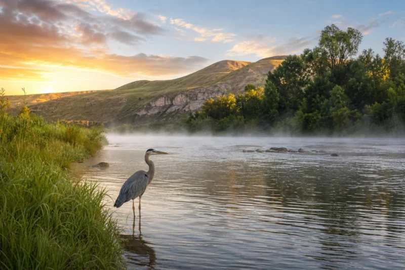
The Musselshell River corridor concentrates riparian species—yellow warblers, kingbirds, and orioles nest in cottonwoods, while kingfishers work the river for small fish. Great blue herons stalk shallow riffles, looking prehistoric against the pastoral ranch backdrop.
One mistake many visitors make is assuming prairie landscapes lack bird diversity. In reality, the variety here rivals many forested areas—the birds are simply more cryptic and require patient observation.
Practical Information for Visiting Golden Valley County
Golden Valley County demands more self-sufficiency from visitors than most Montana destinations. The sparse infrastructure that makes it appealing for solitude seekers also requires careful planning.
Access and Transportation
Highway 12 crosses the northern portion of the county, running east-west between Roundup and Harlowton. This paved two-lane road provides the main transportation corridor and your best bet for reliable year-round access.
Highway 3 runs north-south through Lavina, connecting to Highway 12 west of the county. These state highways are well-maintained, but secondary county roads vary significantly in condition depending on recent weather and maintenance schedules.
County roads are typically gravel or dirt, subject to becoming impassable during wet conditions. Montana’s notorious gumbo mud—clay soil that becomes slick as grease when wet—affects many secondary routes. After rain, even four-wheel-drive vehicles struggle with these roads.
Services and Supplies
Fuel availability is limited to Ryegate and Lavina. Both towns have gas stations, but hours can be inconsistent, and weekend closures aren’t uncommon. Fill your tank in larger towns before entering the county—Roundup to the west or Harlowton to the north offer more reliable services.
Grocery options consist of small stores with basics in both towns. For serious provisioning, plan to shop in Roundup, Harlowton, or Billings before arriving. Cell phone coverage is spotty throughout most of the county—don’t rely on GPS mapping apps exclusively.
Lodging within the county is essentially non-existent for casual visitors. Ryegate has no motels, and Lavina lacks commercial accommodations. Your options are:
– Camping on public land (BLM areas with dispersed camping allowed)
– Staying in neighboring communities like Roundup or Harlowton
– Arranging ranch stays through private contacts (not commonly available to general public)
Most visitors treat Golden Valley County as a day trip destination from base camps in nearby towns rather than an overnight location.
Season and Weather Considerations
Golden Valley County experiences typical central Montana continental climate with significant seasonal variations. Summer temperatures regularly exceed 90°F, while winter lows can drop below -30°F during cold snaps.
Spring (April-May) brings unpredictable weather—warm stretches alternating with late snowstorms and cold rain. Roads become challenging, and many county routes close seasonally during this period. The landscape is brown until late May when grasses green up quickly.
Summer (June-August) offers the most reliable weather for visiting, with warm days, cool nights, and afternoon thunderstorms that rarely last long. This is peak agricultural season, so expect to see ranchers actively working. The county falls within Montana’s bug season, and mosquitoes can be thick along the Musselshell River and in wetter draws.
Fall (September-October) provides ideal conditions—comfortable temperatures, minimal precipitation, and golden landscapes. The county truly lives up to its name during this season. Early October can bring sudden cold snaps and even snow, so pack layers.
Winter (November-March) is harsh and best avoided unless you have specific reasons to visit. Highway 12 remains plowed, but county roads become inaccessible, and services in both towns operate on reduced schedules.
Safety and Preparedness
The remoteness that makes Golden Valley County appealing also creates genuine safety considerations. Cell coverage is unreliable across most of the county—assume you won’t have service away from the highways.
Carry physical maps rather than depending solely on GPS. The Montana Gazetteer (published by DeLorme, now Garmin) provides detailed county road information and topography. County road numbers often aren’t marked on the ground, so map-reading skills matter.
Water sources are limited in backcountry areas. Carry more than you think you’ll need, particularly during summer when temperatures can be extreme. The Musselshell provides water that should be filtered or treated before consumption.
Medical services require traveling to neighboring communities. Roundup has the nearest hospital, about 30 miles west of Ryegate. For serious emergencies, Billings is roughly 90 miles southeast of Lavina and offers comprehensive medical facilities.
Wildlife encounters are possible, particularly in the Bull Mountains where bears and lions occur. Standard precautions apply—make noise while hiking, store food properly if camping, and give all wildlife plenty of space.
Cultural Insights and Local Etiquette
Golden Valley County’s small population and ranching focus create a distinct culture that visitors should understand and respect. These aren’t unwritten rules—they’re practical considerations for positive interactions.
Ranch Culture and Privacy
Ranches are working operations, not tourist attractions. Gates that you find closed should be left closed after passing through; gates found open should remain open. This isn’t arbitrary—livestock management depends on these access controls.
Ranch yards and outbuildings are private property. Driving into a ranch headquarters without invitation or advance contact is considered intrusive. If you need to speak with a landowner about access or have questions, stop at the entrance and wait, or visit during business hours in town where you’re more likely to encounter them.
Hunting season brings an influx of visitors to the region, and not all of them respect private property. If you’re exploring during fall, be aware that landowners may be wary of unfamiliar vehicles. Establishing your intentions clearly and respectfully makes interactions much smoother.
Community Dynamics
Small populations mean everyone knows everyone—and notices strangers. This isn’t hostility; it’s natural awareness in communities where unfamiliar faces are notable. A friendly nod or greeting goes a long way.
The communities here face genuine challenges maintaining services with declining populations. Schools, post offices, and local businesses operate on thin margins. If you stop for a meal or supplies, understand you’re supporting infrastructure that serves a vital role beyond mere commerce.
Conversations in cafés or stores often involve local matters—grain prices, weather impacts, school events, and community news. Outsiders jumping into these discussions uninvited can come across as presumptuous. Being friendly doesn’t mean inserting yourself into local business.
Photography and Documentation Opportunities
Golden Valley County offers distinctive photography opportunities for those interested in landscape, agricultural, and rural life subjects. The challenge and appeal lie in capturing authenticity rather than dramatic scenery.
Landscape Photography
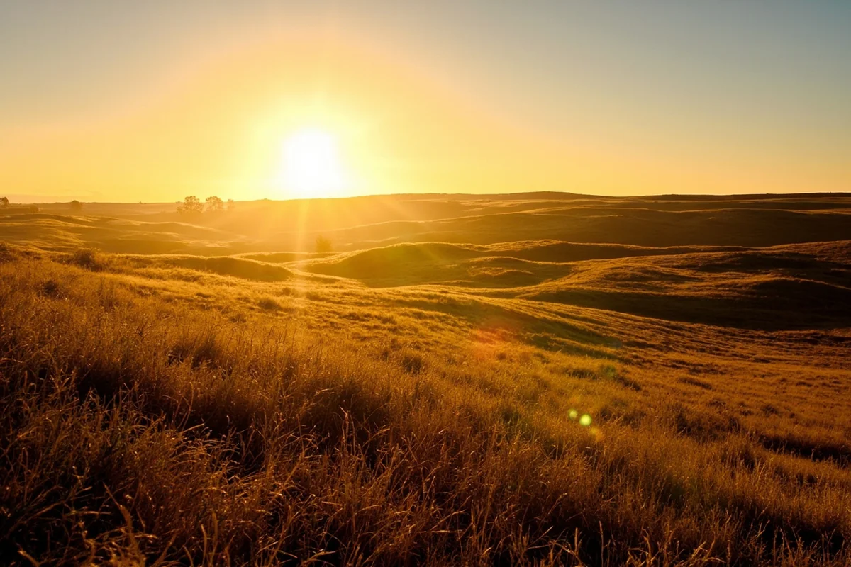
The county’s rolling topography creates interesting light conditions, particularly during golden hour when low-angle sun accentuates terrain contours. Unlike the dramatic peaks you’d find in Montana’s mountain ranges, prairie landscape photography requires attention to subtlety—how light plays across grass, the shapes of clouds against big sky, the way shadows fill coulees.
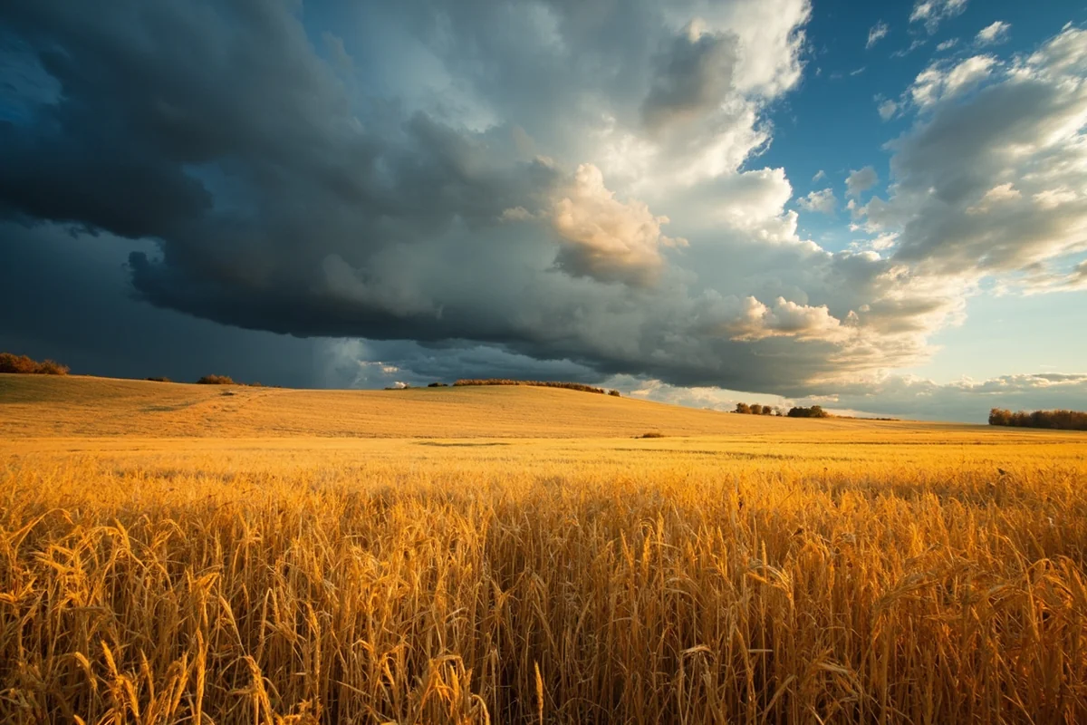
Weather events—thunderstorms building over plains, snow squalls racing across open country, or clear autumn mornings with frost—provide dynamic conditions. The same location can look entirely different depending on atmospheric conditions.
Long lenses help compress distance and isolate interesting elements in vast landscapes. Wide-angle shots need strong foreground elements to avoid feeling empty—wheat stubble patterns, fence lines, or interesting rock formations work well.
Agricultural and Rural Life Photography
Photographing working landscapes and rural scenes requires sensitivity about property and privacy. Always ask permission before photographing on private land or taking images that include people, ranch buildings, or livestock.
Most ranchers are accommodating if approached respectfully, especially if you explain your interest and share how you plan to use images. Commercial photography absolutely requires explicit permission and often compensation.
Harvest season offers particularly rich visual opportunities—combines working fields, grain trucks hauling to elevators, hay bales dotting stubble fields. The visual language of agriculture tells Golden Valley County’s story more effectively than any scenic overlook could.
Connecting Golden Valley to Broader Montana Exploration
Golden Valley County works well as part of multi-county exploration of central Montana’s agricultural heartland rather than as a standalone destination. Its sparse services and limited attractions make it better suited for experienced Montana travelers who’ve already seen the state’s marquee destinations.
Regional Context and Circuit Possibilities
The county sits within easy reach of several neighboring counties that offer complementary experiences. To the west, Broadwater County provides access to the Missouri River and Canyon Ferry Reservoir. North lies Chouteau County with its river breaks and fort heritage.
East, Custer County and Dawson County extend deeper into prairie landscapes with additional historical sites and badlands topography. South, Carbon County transitions toward the mountains with access to Yellowstone River country.
A loop combining Highway 12 east from Roundup through Golden Valley County, then south on Highway 3 to Interstate 90, creates a practical day trip showing central Montana’s character. Adding overnight stops in Billings or Roundup allows more thorough exploration.
Thematic Connections
For visitors interested in authentic rural Montana away from tourist centers, Golden Valley County represents one of the state’s most unfiltered examples. It shares character with other sparsely populated counties like Carter County in the southeast or Daniels County in the northeast.
Unlike counties with national park access or ski resorts, places like Golden Valley exist outside the tourism economy. What they offer—authentic glimpses of agricultural life, solitude, and landscape experience without commercial mediation—appeals to a specific traveler mindset.
What Most Visitors Get Wrong About Golden Valley County
After several visits across different seasons and conversations with locals, some patterns emerge about misconceptions outsiders bring to this corner of Montana.
The biggest mistake is arriving without adequate supplies and assuming services will be available when needed. The combination of limited hours, seasonal closures, and genuine scarcity means you need self-sufficiency. That gas station in Ryegate that theoretically exists may be closed when you arrive on Sunday afternoon.
Another common error is underestimating distances and road conditions. County roads that look short on maps can take significant time to navigate, especially if conditions are wet. What appears to be a simple 15-mile loop might take over an hour and require turning back if weather has damaged roads.
Many visitors expect public land access to be clearly marked and easily reached. In Golden Valley County, finding and accessing the scattered BLM parcels requires research, map work, and often conversations with landowners. It’s not impossible, but it’s not the straightforward experience you’d have in national forests.
Some people arrive expecting quaint Western town experiences with galleries, brewpubs, and boutique lodging. That’s not what Ryegate and Lavina offer. They’re functional agricultural service centers, and approaching them with different expectations leads to disappointment on both sides.
Finally, photography enthusiasts sometimes assume they can roam freely for shots. This is private working land, and wandering onto ranches without permission creates real problems. The stunning images are possible, but they require courtesy and advance arrangements.
Why Visit Golden Valley County
Given the challenges and limitations, why venture into Golden Valley County at all? The answer depends entirely on what you value in travel experiences.
This county offers something that’s becoming increasingly rare in Montana and the West generally—authentic rural character that hasn’t been modified for visitor comfort. There’s no visitor center interpretation, no scenic overlook with interpretive panels, no carefully maintained trails with rating systems.
What you get instead is the working landscape that still defines much of Montana beyond tourist corridors. Ranch families live here because their families have for generations, not because they’re participating in the state’s recreation economy. The land is managed for agricultural production and wildlife habitat, not visitor experience.
For photographers, writers, and travelers seeking to understand contemporary rural life in the American West, Golden Valley County provides valuable context. It’s possible to visit Montana’s famous destinations—Glacier, Yellowstone, the trendy ski towns—and leave with only a partial understanding of the state. Places like Golden Valley fill in the picture.
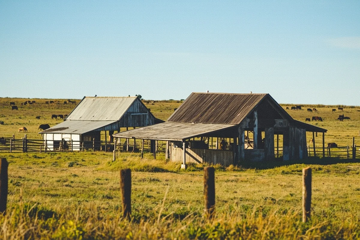
The solitude factor appeals to some visitors more than scenic grandeur. You can drive county roads for hours without encountering other vehicles, walk BLM hills without seeing another person, and experience what’s become a luxury in popular outdoor destinations—genuine quiet and aloneness with landscape.
Wildlife viewers often find the lack of crowds worth the navigation challenges. Watching elk move through pine breaks or pronghorn feeding on open prairie without competing with other observers creates more intimate encounters than you’d experience in more accessible locations.
Lastly, Golden Valley County appeals to completist travelers working through Montana’s 56 counties or those interested in experiencing the full spectrum of Montana landscapes. It’s a piece of the puzzle that helps understand the state’s diversity beyond its famous mountains and parks.
Planning Your Golden Valley County Visit
Practical visit planning requires thinking through logistics more carefully than you might for typical Montana destinations.
When to Visit
September and early October offer optimal conditions—comfortable temperatures, beautiful light, autumn colors in river bottoms, and reliable road conditions. Harvest activity adds visual interest, and wildlife patterns are predictable.
Late May through June works well for grassland wildflowers and bird activity, though weather can be unsettled and roads muddy. July and August are reliable weather-wise but hot, with afternoon temperatures often exceeding 90°F.
Avoid November through March unless you have specific cold-weather interests. Services are minimal, roads problematic, and the experience is harsh rather than scenic.
Sample Itineraries
Half-Day Drive-Through: Enter on Highway 12 from the west, stop in Ryegate for supplies and conversation, drive county roads south toward the Bull Mountains (road conditions permitting), return to Highway 12 and continue east or west. This gives a basic introduction without requiring overnight planning.
Full-Day Exploration: Base in Roundup or Harlowton. Spend morning exploring Highway 12 corridor and Ryegate area, midday driving south to Lavina and investigating Bull Mountains access points, afternoon along Musselshell River sections. Pack lunch since meal options are limited.
Multi-Day Regional Circuit: Combine Golden Valley County with visits to neighboring counties. Start in Billings, work north through Big Horn County, explore Golden Valley as part of a central Montana agricultural circuit including Fergus County and Judith Basin areas. This spreads limited attractions across a broader exploration theme.
Essential Gear and Supplies
For day visits, bring:
– Full fuel tank with spare if exploring backcountry roads
– Physical maps (Montana Gazetteer minimum)
– Food and substantial water (more than you’d normally carry)
– Basic vehicle emergency supplies (spare tire, jack, tools)
– Layers for temperature variation
– Sun protection (minimal shade in prairie country)
– Camera equipment if photography-focused
– Binoculars for wildlife and landscape viewing
For longer exploration or camping:
– All of the above plus camping gear suitable for variable conditions
– Water filtration system
– Detailed county maps showing land ownership (available from county offices)
– GPS unit with fresh batteries (supplement to, not replacement for, maps)
– Communication plan given spotty cell coverage
Historical Context
Golden Valley County’s history provides context for what you’ll see during visits. Established in 1920, it’s one of Montana’s younger counties, created during the homesteading boom when agricultural expansion subdivided larger counties.
The homestead era brought waves of settlers hoping to farm the plains, lured by railroad promotion and federal land policy. The Milwaukee Road railroad running through Ryegate enabled grain transport to market and brought supplies to settlers.
Many homesteads failed during the 1920s and 1930s as drought, economic depression, and the reality of farming marginal land took their toll. The county’s population peaked around 1,900 in 1930 and has declined steadily since, now below 900.
This history left a landscape of abandoned homesteads—foundations, windmills, and collapsed structures dot backcountry areas. Some ranches now encompass multiple former homesteads consolidated over decades as families who survived bought out those who left.
The ranching operations that remain today are typically multi-generational enterprises that adapted to the region’s realities. They run larger operations with more diversification than original homesteaders attempted, and they’ve learned to work with rather than against the landscape’s limitations.
Natural History and Ecology
Understanding Golden Valley County’s ecological context enriches the visit experience. The county sits within the Northern Great Plains ecoregion, specifically in a transition zone where prairie meets mountain foothill influences from the south and east.
The native vegetation is mixed-grass prairie dominated by wheatgrasses, needlegrasses, and blue grama. These species are adapted to the 12-16 inch average annual precipitation and extreme temperature variations. Unlike tallgrass prairies farther east or shortgrass systems farther south, mixed-grass prairies show diversity that responds to yearly moisture variations.
Historically, bison shaped these grasslands through grazing patterns, though they were eliminated from the region in the late 1800s. Cattle now fill a similar ecological role, and properly managed grazing systems maintain grassland health by preventing woody species encroachment and stimulating grass growth.
The pine stands in breaks and the Bull Mountains are predominantly ponderosa pine with some Rocky Mountain juniper. These trees establish on north-facing slopes and protected draws where moisture is adequate and fire frequency historically allowed seedling survival.
Riparian areas along the Musselshell support cottonwoods, willows, and other water-dependent species. These narrow green ribbons through brown landscapes provide critical wildlife habitat disproportionate to their acreage.
The region’s geology includes Cretaceous and Tertiary sedimentary rocks—sandstones, shales, and coal deposits. These layers hold fossils from ancient inland seas and swamps, including the famous Hell Creek Formation exposures that have yielded significant paleontological finds in nearby areas.
Economic Realities and Community Sustainability
Golden Valley County faces economic challenges common to rural agricultural areas across Montana and the Great Plains. The traditional ranch economy supports fewer families as operations consolidate and technology reduces labor needs.
According to U.S. Census data, the county’s population has declined in every census since 1930. The 2020 census counted 831 residents, down from 1,026 in 2000. This trend affects school enrollment, business viability, and service availability.
Young families face particular challenges—limited job opportunities, distance from medical care and services, and school consolidation pressures. Many ranching families now have off-ranch income sources, with one spouse working in nearby towns or seasonal off-ranch work supplementing agricultural income.
The county has resisted dramatic change toward recreation or amenity development that’s transformed some Montana counties. There’s limited appeal for the second-home market given the sparse population, lack of dramatic scenery compared to mountain regions, and limited services.
This economic reality affects visitors practically—it explains the limited infrastructure and services. It also adds poignancy to encounters with residents who are choosing to maintain communities and landscapes against challenging demographic and economic headwinds.
How We Researched This Guide
This guide draws from multiple visits to Golden Valley County across different seasons between 2021 and 2024, including spring, summer, and fall trips. The information reflects firsthand exploration of the main highway corridors, county roads, and accessible backcountry areas, as well as conversations with ranchers, business owners, and residents in both Ryegate and Lavina.
Information about public land access, wildlife populations, and land management has been verified through Montana Fish, Wildlife & Parks documentation, Bureau of Land Management records, and the U.S. Census Bureau for demographic data.
County-specific details about services and road conditions reflect actual conditions encountered during visits, supplemented by conversations with county officials and local residents.
Final Thoughts
Golden Valley County won’t impress you the way Glacier or Yellowstone will. There’s no single landmark, no famous road, no moment that makes for an obvious photo caption.
What it offers instead is harder to describe and easier to feel — the particular quiet of a county that hasn’t been packaged for anyone, where the land is still primarily about ranching rather than recreation, and where showing up means you’ve already done most of the work.
If you pass through on Highway 12 and stop for coffee in Ryegate, talk to whoever’s at the counter. Ask about the weather that week, the roads south toward Lavina, what the grass looks like this year. You’ll learn more about central Montana in that conversation than from any scenic overlook.
Come in September. Drive slow. Bring more water than you need. That’s the whole plan.
Frequently Asked Questions
Where is Golden Valley County located in Montana and how do I get there?
Golden Valley County is located in central Montana, approximately 90 miles northwest of Billings and 110 miles east of Great Falls. The most common route is via US Highway 12, which runs through the county seat of Ryegate. The nearest commercial airports are in Billings (Logan International) and Great Falls, where you can rent a car for the scenic drive through Montana’s prairie landscape.
What is there to do in Golden Valley County Montana for visitors?
Golden Valley County offers authentic rural Montana experiences including wildlife viewing, hunting for mule deer and antelope, and exploring vast open prairies perfect for photography. Visitors can fish in local creeks and reservoirs, tour historic homestead sites from the early 1900s, and experience genuine ranch culture in small communities like Ryegate and Lavina. The county is ideal for travelers seeking solitude and wide-open spaces away from typical tourist crowds.
What is the best time of year to visit Golden Valley County Montana?
Late spring through early fall (May through September) offers the most pleasant weather for visiting Golden Valley County, with temperatures ranging from 60-85°F and accessible roads. Summer months are ideal for camping and outdoor activities, while fall (September-October) provides excellent hunting opportunities and stunning golden prairie landscapes. Winter can be harsh with temperatures below zero and heavy snow, making travel challenging on rural county roads.
Are there hotels or lodging options in Golden Valley County Montana?
Golden Valley County has very limited lodging options with no major hotels, as it’s one of Montana’s least populated counties with under 900 residents. Your best bet is to book accommodations in nearby Billings (90 miles southeast) or Roundup (25 miles west), or consider camping at local dispersed sites if you’re equipped with an RV or tent. Some local ranches may offer hunting lodge accommodations during fall season, so contact the Ryegate community directly for private rental options.
How much does it cost to visit Golden Valley County Montana?
Visiting Golden Valley County is budget-friendly since most attractions are free open prairies and public lands, though you’ll need to factor in gas costs for the remote drive (gas prices typically $3-4 per gallon). If you’re staying in nearby Billings or Roundup, expect to pay $80-150 per night for hotels, plus $30-60 daily for meals at local diners and cafes. Hunting licenses for non-residents run $600-1,000 depending on the season and species.
What should I pack for a trip to Golden Valley County Montana?
Pack layers for unpredictable prairie weather, including a warm jacket (even in summer, as temperatures can drop 30-40°F from day to night), sturdy hiking boots, and sun protection like hats and SPF 50+ sunscreen for the intense high-altitude sun. Bring plenty of water, snacks, and a full tank of gas since services are extremely limited—the nearest gas station may be 30-40 miles away. Don’t forget binoculars for wildlife viewing, a camera for expansive landscape photos, and a physical map since cell phone coverage is spotty throughout the county.
Is Golden Valley County Montana worth visiting for tourists?
Golden Valley County is worth visiting if you’re seeking an off-the-beaten-path Montana experience with authentic ranch country, vast prairies, and true solitude rather than conventional tourist attractions. It’s not ideal for travelers expecting amenities, restaurants, or guided tours, but perfect for adventurous visitors who appreciate rural landscapes, wildlife, and the chance to experience one of America’s most sparsely populated areas. Consider it as a day trip addition to a larger Montana itinerary rather than a standalone destination unless you’re specifically hunting or have ranch connections.