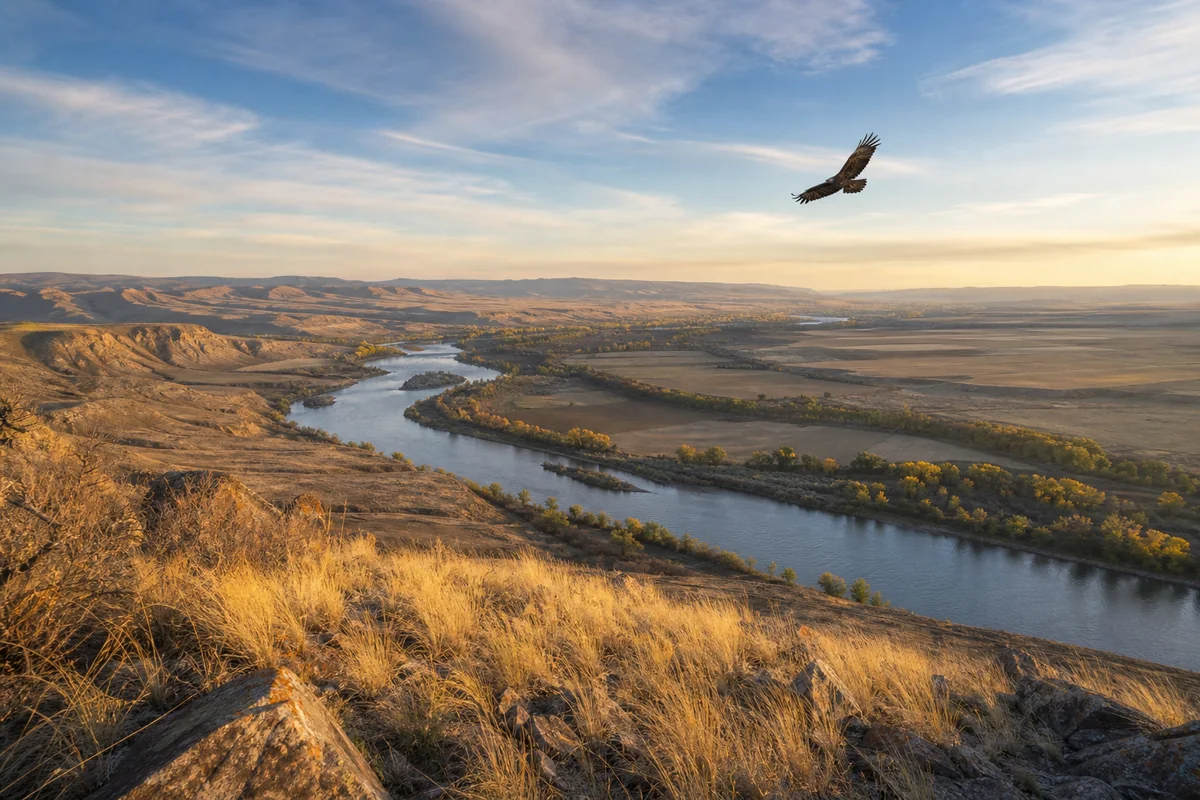
Standing on the bluffs above Terry, Montana, watching a golden eagle ride a thermal over the Yellowstone River valley, what struck me most wasn’t the silence — it was the scale. Prairie County is one of those rare places in the American West where the land still looks the way Lewis and Clark described it, and that’s not an accident.
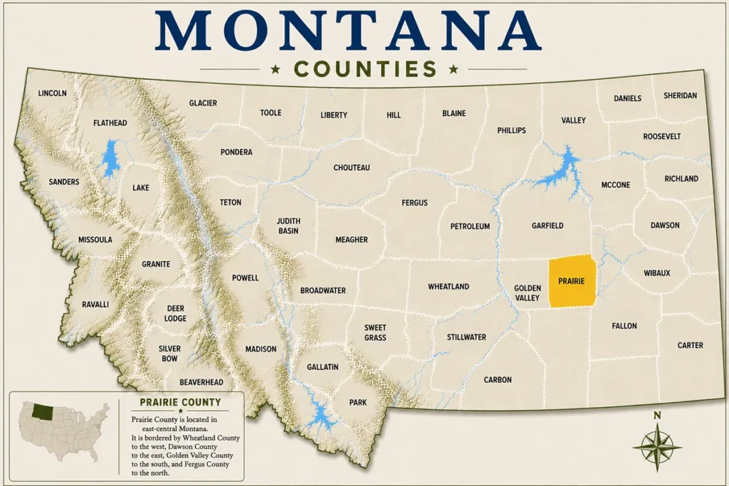
One of the 56 Montana Counties, Prairie County sits in the heart of eastern Montana’s shortgrass prairie, largely unchanged and largely overlooked — which, depending on your travel style, makes it either the best-kept secret in the state or the most underrated destination you’ve never considered.
- Prairie County is a remote, lightly visited county in eastern Montana centered on the small town of Terry.
- The Yellowstone River runs through the county, offering fishing, wildlife watching, and scenic drives.
- Makoshika State Park is just a short drive away in neighboring Dawson County — easy to pair with a Prairie County visit.
- Badlands, golden eagles, pronghorn, and stargazing are the main draws here.
- Cell service is sparse. Fuel up, download your maps offline, and embrace the disconnection.
- Best visited late May through September, though spring wildflowers in early May are genuinely stunning.
Liked this article?
Add Roaming Montana as a preferred source so you see more of our articles and guides on Google.
Where Exactly Is Prairie County?
Prairie County occupies a roughly 1,737-square-mile stretch of southeastern Montana, bordered by Custer County to the west, Fallon County to the east, Dawson County to the north, and Custer County to the south. The county seat is Terry, a town of fewer than 600 people that sits right on Interstate 94 and the banks of the Yellowstone River.
The drive from Billings takes roughly two hours heading east on I-94. From Miles City — the nearest larger hub in Custer County — Terry is just 38 miles east. If you’re road-tripping across Montana’s eastern corridor, Prairie County slots naturally into a route that could also include Fallon County or a detour south through Carter County.
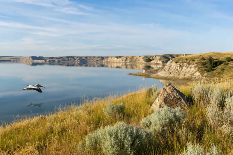
What most visitors get wrong is assuming eastern Montana is flat and featureless. The badlands formations near Terry, the river breaks carved by the Yellowstone, and the rolling coulees hiding deer and turkey — this is genuinely dramatic country once you get off the interstate.
A Brief History of Prairie County
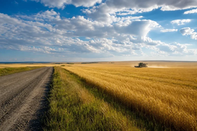
Prairie County was established in 1915, carved from Custer and Dawson counties during the homestead boom that swept eastern Montana in the early twentieth century. Thousands of families arrived believing the northern plains could be farmed like the Midwest — and thousands left again when the droughts came.
Terry itself was named for Alfred Terry, the U.S. Army general who commanded the forces during the Great Sioux War of 1876 — the same campaign that led to the Battle of the Little Bighorn, fought in what is now Big Horn County. That history hangs in the air here.
The Yellowstone Valley saw significant activity during the cattle drives of the late 1800s. Before the homesteaders, this was open range — and before that, it was hunting ground for the Lakota and Northern Cheyenne, who knew the river breaks and badlands intimately.
Top Things to Do in Prairie County
Explore the Calypso Trail and Terry Badlands
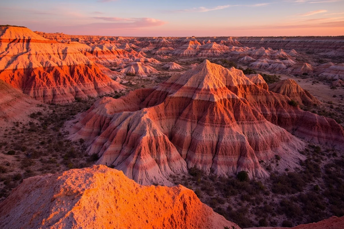
The Terry Badlands Wilderness Study Area is managed by the Bureau of Land Management and covers tens of thousands of acres of eroded buttes, coulees, and shortgrass prairie just north of Terry. There are no formal trails — this is genuine open-country hiking where you navigate by landmarks and topography.
What surprised me about the badlands was how fast the terrain changes. Within half a mile from the nearest two-track, you’re in a landscape of cream and rust-colored formations that looks like something out of the American Southwest. Deer, pronghorn, and golden eagles are common. Rattlesnakes are also present — watch where you put your hands when scrambling over rocks.
The Calypso Trail is a 6.7-mile loop accessible from a BLM trailhead north of town. It’s unmarked in sections, so download the onX Hunt or Gaia GPS app before you leave Terry.
Fishing the Yellowstone River
The Yellowstone River is one of the longest free-flowing rivers in the continental United States, and the stretch that runs through Prairie County is underutilized by anglers compared to the more famous upper sections near Gallatin County. That’s good news for anyone willing to make the drive east.
Sauger, walleye, smallmouth bass, and channel catfish are the primary targets in this lower section of the Yellowstone. According to Montana Fish, Wildlife & Parks, the lower Yellowstone supports one of the state’s best walleye fisheries, though you’ll rarely hear it mentioned alongside the blue-ribbon trout streams that dominate the fishing conversation.
Bank fishing access is available at several points near Terry. The Prairie County fishing access site off US-10 is a good starting point — there’s a rough boat ramp there as well, adequate for shallow-draft jon boats and drift boats during summer low water.
Wildlife Watching and Bird Photography
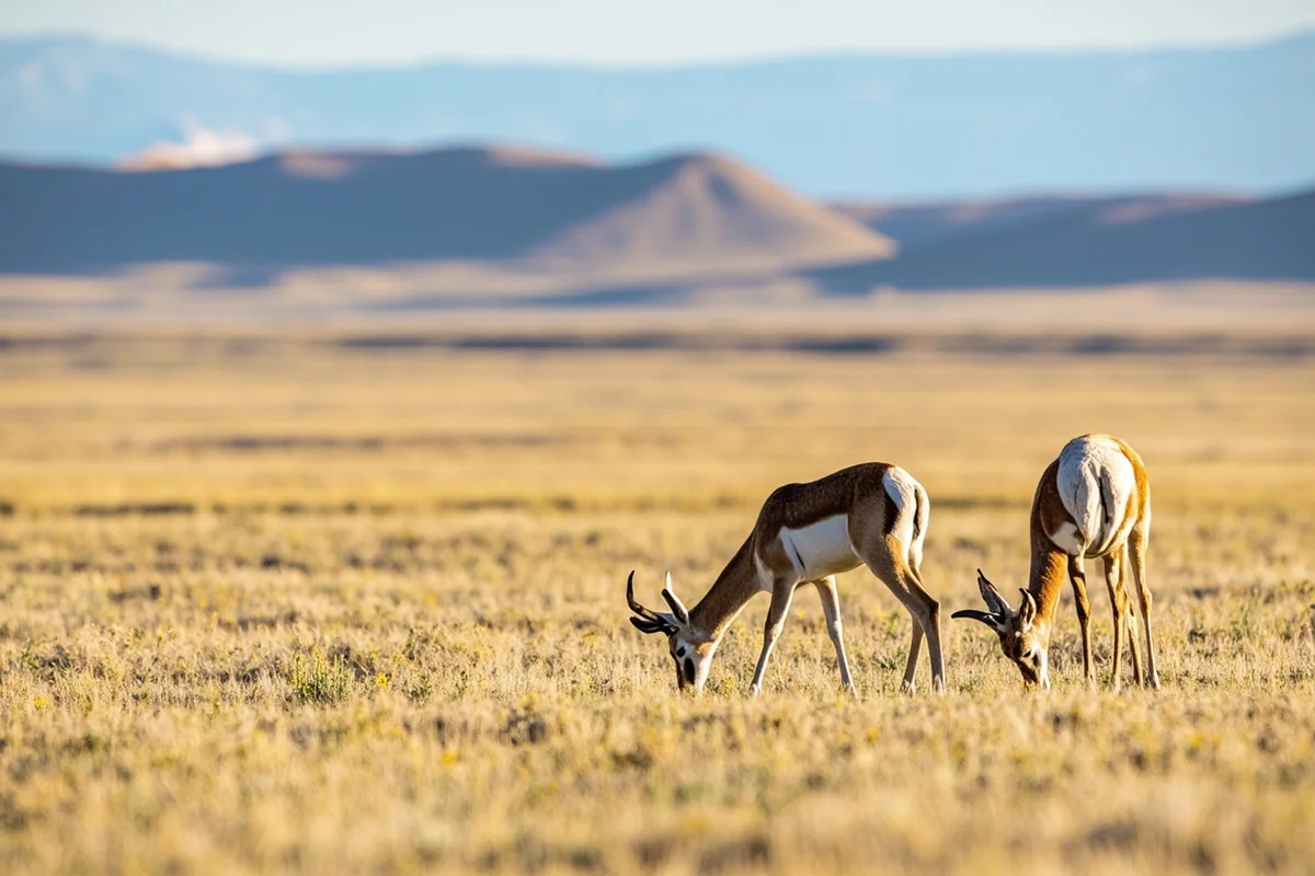
During my last visit in late May, the sagebrush flats east of Terry had more pronghorn per mile than almost anywhere else in Montana. Prairie County is genuinely good pronghorn country — the open terrain makes spotting them straightforward, and they’re often indifferent to vehicles stopped on the road.
Birding here deserves more attention than it gets. The river corridor attracts migrating waterfowl in spring and fall. Upland species including sharp-tailed grouse, ring-necked pheasant, and Hungarian partridge are present in huntable numbers. During winter, rough-legged hawks and short-eared owls quarter the fields searching for voles, and occasionally a snowy owl shows up along the grain elevators outside town.
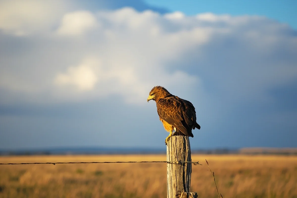
The BLM land north of the Yellowstone is particularly good for raptors. Golden eagles nest in the badland formations, and at dusk in summer, common nighthawks fill the sky above town in numbers that feel almost prehistoric.
The Prairie County Museum
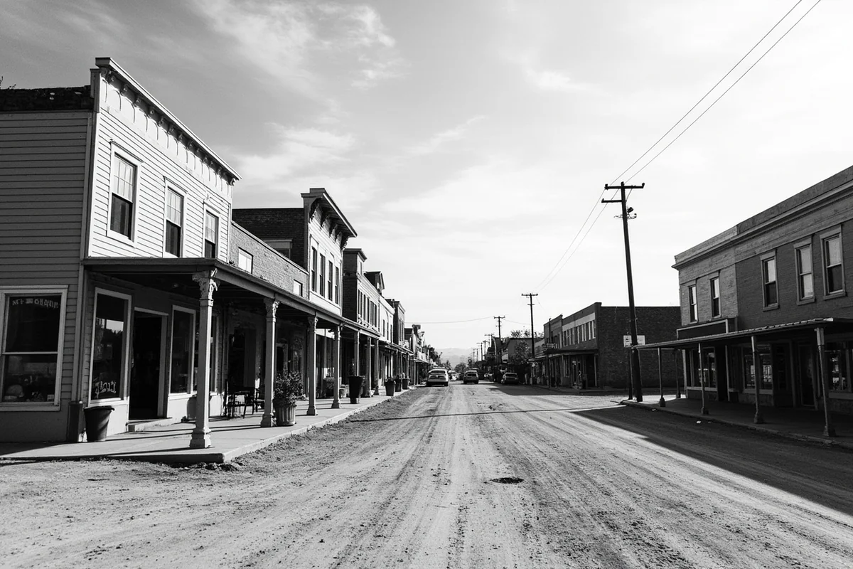
Located in Terry, the Prairie County Museum is a modest but genuine local history collection housed in a historic building on Spring Street. The exhibits cover homestead-era farming equipment, Native American artifacts, and local ranching history.
What makes this museum worth an hour of your time is the photography collection — including work by Evelyn Cameron, a pioneering photographer who documented rural life in eastern Montana from the 1890s through the 1920s. Her images are extraordinary documents of a vanished world, and Prairie County is where she lived and worked.
The museum is typically open through the summer months. Hours can be irregular, so calling ahead is worth the trouble — especially if you’re traveling outside of peak summer season.
Stargazing
Prairie County has almost no light pollution. The nearest population center of any size is Miles City, and even that’s modest enough to have little impact on the night sky.
On a clear night away from Terry’s small streetlight footprint, the Milky Way is clearly visible from roughly late May through September. What most guides skip is that the badlands north of town add a foreground element — the eroded buttes silhouetted against the stars create genuinely spectacular conditions for astrophotography.
Bring a red headlamp, know your coordinates before you go, and check the moon calendar. New moon periods in July and August are the sweet spot.
Day Trip to Makoshika State Park
Just 38 miles west in Glendive (Dawson County), Makoshika State Park is Montana’s largest state park and one of the finest badlands destinations in the northern Great Plains. If you’re based in Terry, this is an obvious day trip.
The park contains Triceratops and Tyrannosaurus rex fossil sites, miles of hiking trails, and a campground that books up in summer. Combining a Prairie County visit with Makoshika makes for a logical two-day itinerary along the I-94 corridor.
Suggested Itinerary
Prairie County doesn’t need a week — but two days gives you enough time to feel the place properly rather than just passing through.
Day 1: Arriving, Orienting, and the River
Arrive in Terry by mid-morning. Stop at the Prairie County Museum first — this gives useful context for the landscape and history you’ll encounter over the next two days. Give it an hour.
After lunch at one of Terry’s local diners (the offerings are limited but satisfying — this is not the place for fine dining, and that’s part of the point), drive down to the Yellowstone River access site. Spend the afternoon fishing or simply watching the river. In summer, the cottonwood canopy along the bank provides shade, and the sound of moving water against the near-silence of the plains is genuinely restorative.
That evening, drive north of town on the BLM access roads toward the badlands. Watch for pronghorn and raptors in the late afternoon light, then stay for sunset — the light on the formations between 7 and 8 p.m. in summer is worth the drive alone. Return to Terry for the night.
Day 2: Badlands, Birds, and Glendive
Get an early start. The Terry Badlands are best in morning light when the temperature is cooler and the shadows make the topography readable. Bring at least two liters of water per person — there is no water in the backcountry, and shade is minimal.
Hike for three to four hours, navigating toward the prominent buttes visible from the trailhead. On a recent trip, what caught me off guard was how quickly the sagebrush gave way to eroded clay formations riddled with fossil fragments — nothing museum-quality in plain sight, but the geological layers are visibly distinct and genuinely fascinating.
By early afternoon, drive west to Glendive and spend two to three hours at Makoshika State Park. The Diane Gabriel Trail offers the best overview of the badlands landscape without a strenuous commitment. Head back to Terry or continue west toward Miles City depending on your onward plans.
Practical Information for Visitors
| Category | Details |
|---|---|
| County Seat | Terry, MT |
| Population | Approximately 1,100 (county-wide) |
| Best Time to Visit | Late May through September; wildflowers peak early May |
| Getting There | I-94 East from Billings (~2 hrs); 38 miles east of Miles City |
| Nearest Airport | Glendive (small regional); Billings Logan (full service) |
| Fuel | Available in Terry; fill up before BLM excursions |
| Cell Service | Spotty to nonexistent outside Terry |
| Accommodation | Limited motels in Terry; more options in Glendive and Miles City |
| Fishing License | Required — available at Montana FWP or online at fwp.mt.gov |
| BLM Land Access | Free; no permit required for day use |
Where to Stay
Accommodation in Prairie County itself is limited. Terry has a small motel and basic lodging options — expect to pay in the range typical of rural Montana budget properties, generally under $100 per night, though prices vary by season.
Most visitors staying more than one night base themselves in Glendive (roughly 38 miles west in Dawson County) or Miles City, where there’s a wider range of chain and independent motels. For a more immersive experience, dispersed camping on BLM land north of Terry is free and legal — though you’ll need to be fully self-sufficient.
Where to Eat
Terry has a small number of local diners and a bar or two that serve food. This is honest, unpretentious Great Plains cooking — burgers, steaks, and breakfast plates. Don’t arrive expecting a coffee shop with oat milk lattes.
Grocery supplies are available but limited. If you’re cooking at a campsite, stock up in Glendive or Miles City before heading to Terry.
What Most Visitors Get Wrong About Prairie County
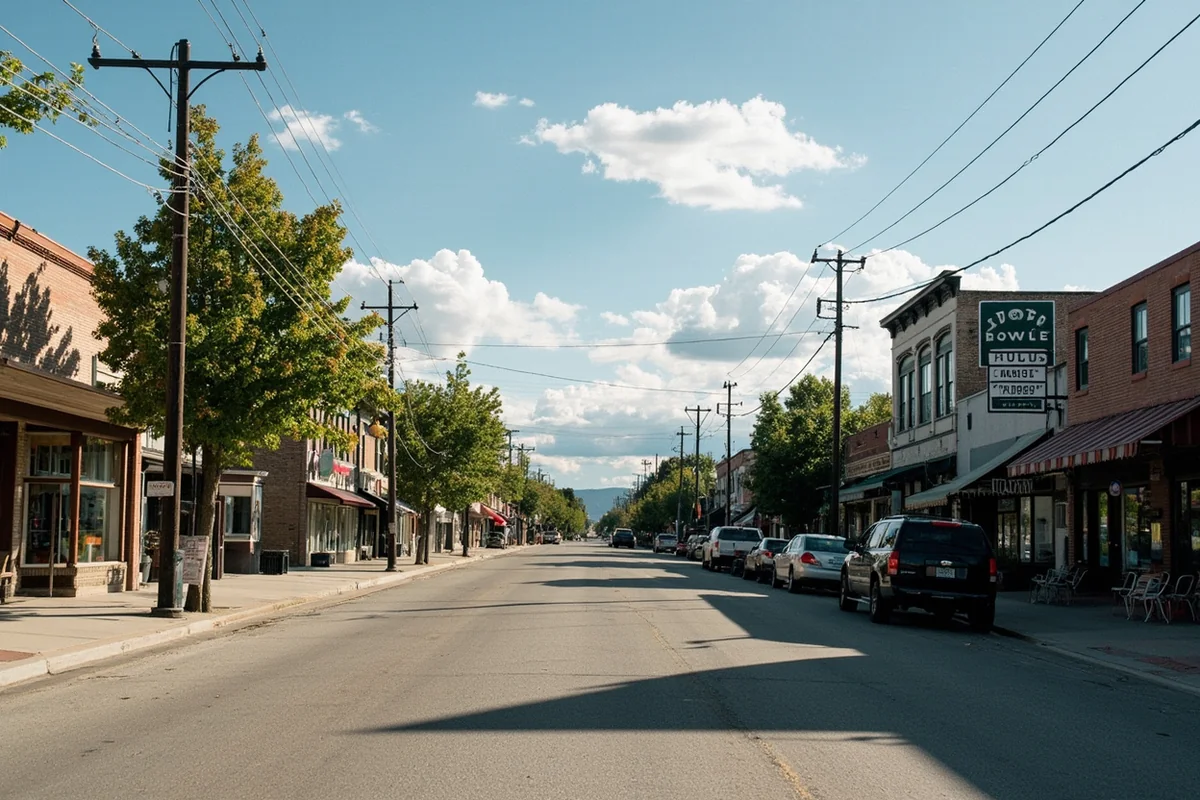
The most common mistake is treating Prairie County as a drive-through rather than a destination. Travelers on I-94 spot the Terry exit, keep going, and miss everything. The interesting country begins the moment you leave the highway.
The second mistake is underestimating the heat and exposure in summer. The badlands terrain offers almost no shade, and temperatures routinely climb into the 90s Fahrenheit from July through August. Starting any hike before 8 a.m. and carrying more water than you think you need is non-negotiable.
Third — and this one caught me personally — don’t assume the river access is obvious or well-signed. Several of the best fishing and wildlife spots require navigating BLM two-track roads that aren’t on Google Maps. Downloading the BLM’s AVENZA maps or a dedicated backcountry navigation app before you leave cellular range makes an enormous difference.
Finally, the rattlesnake population in the badlands is real and not overblown. Prairie rattlesnakes are common on warm rocky slopes, especially in May and June. Wearing gaiters or high boots and watching where you step is genuine advice, not liability boilerplate.
Prairie County in Context: How It Compares to Neighboring Counties
Eastern Montana has a cluster of remote, low-population counties that each offer a slightly different flavor of the same wide-open landscape. Garfield County to the north is even more remote and more rugged. Custer County to the west has Miles City’s energy and the Miles City Bucking Horse Sale. Fallon County to the east has Baker Lake and a different character again.
What sets Prairie County apart is the combination of the Yellowstone River bottomland, the Terry Badlands, and the Evelyn Cameron legacy — a specific cultural and photographic history that gives the county a distinct identity within eastern Montana’s broader story.
If you’re building a longer eastern Montana road trip, the logical circuit runs through Prairie, Dawson, Dawson, Fallon, and Custer counties — a loop that takes in badlands, river country, and genuine ranch culture without repeating itself.
For those interested in how Montana’s population is shifting, it’s worth noting that Prairie County sits at the opposite end of the spectrum from the growth happening in western Montana — a point made clear in our look at Montana’s fastest-growing cities and counties. Prairie County’s population has been declining for decades, which is precisely why the land feels the way it does.
The proximity to the American Prairie Reserve — though located further north in Phillips and Blaine counties — is also worth mentioning for visitors interested in the broader prairie conservation story unfolding across Montana’s plains. That project’s work adds context to why places like Prairie County’s BLM grasslands matter ecologically.
When to Visit Prairie County
Late May and early June are genuinely the best conditions for wildflowers, mild temperatures, and full rivers. The prairie blooms with penstemon, blanketflower, and prairie smoke in a way that the high-summer visitor simply doesn’t see.
July and August bring reliable sunshine and long days, but also the full intensity of eastern Montana heat. Wildlife is still abundant, stargazing is at its peak, and the county remains crowd-free by any meaningful Montana standard.
September is perhaps the most underrated month. Temperatures moderate, the cottonwoods along the Yellowstone begin to turn gold, and pronghorn are visible in large pre-rut groups that are genuinely spectacular.
Winter in Prairie County is severe and not recommended for casual visitors. Roads through the badlands can become impassable with snow or mud, and many services in Terry operate reduced hours.
Final Thoughts
Prairie County won’t make everyone’s Montana bucket list, and that’s exactly the point. This is a place for travelers who are genuinely curious about what’s beyond the obvious — who want to understand what eastern Montana actually feels like, smells like, and sounds like when the wind drops at sunset over the Yellowstone Valley.
What surprised me most on multiple visits was how quickly the place slows you down in the best possible way. No crowds, no cell notifications, no ambient noise except meadowlarks and wind. That’s not nothing in 2024.
If you’re building a Montana road trip that takes in the eastern counties — and the country between Cascade County and the North Dakota border deserves more attention than it gets — Prairie County should be more than just a dot on the map. Give it two days. Come with good boots, a full tank, and no particular agenda. The badlands will do the rest.
How We Researched This Guide
This guide is based on multiple visits to Prairie County across different seasons, including spring wildflower season in late May and midsummer exploration of the Terry Badlands Wilderness Study Area.
Information on fishing was verified with Montana Fish, Wildlife & Parks (fwp.mt.gov), and BLM land access details were confirmed with the BLM Miles City Field Office, which manages the Terry Badlands WSA.
Local history context was drawn from the Prairie County Museum and cross-referenced with Montana historical records. Conversations with Terry locals and a Glendive-based outfitter helped ground the practical details in current, on-the-ground reality.
Frequently Asked Questions
What is there to do in Prairie County, Montana for first-time visitors?
Prairie County is a hidden gem for travelers who love wide-open spaces, with highlights including the Terry Badlands, fossil hunting opportunities, and the Prairie County Museum in Terry, which showcases the region’s ranching and paleontological history. The Yellowstone River runs through the county and offers excellent fishing, wildlife watching, and scenic photography. It’s the kind of destination that rewards slow, curious travelers rather than those chasing packed itineraries.
When is the best time to visit Prairie County, Montana?
The best time to visit Prairie County is late spring through early fall, with May through September offering the most pleasant weather for outdoor exploration. Summer temperatures typically range from the 70s to low 90s°F, making it comfortable for hiking the badlands and fishing the Yellowstone River. Avoid winter travel if possible, as harsh northern plains conditions can make roads difficult and many attractions less accessible.
How far is Prairie County, Montana from major US cities and airports?
Prairie County’s county seat, Terry, sits along Interstate 94 and is approximately 165 miles east of Billings, Montana, which has the nearest major commercial airport (Billings Logan International). From Billings, it’s roughly a 2.5-hour drive east on I-94. Travelers coming from out of state should plan to fly into Billings and rent a car, as public transportation options in this rural part of eastern Montana are essentially nonexistent.
What should I pack for a trip to Prairie County, Montana?
Pack layers no matter what season you visit, since eastern Montana weather can shift dramatically within a single day, swinging from warm afternoons to surprisingly cool evenings. Sturdy hiking boots, sunscreen, a wide-brim hat, and plenty of water are essential for exploring the Terry Badlands and other open terrain. If you plan to fish the Yellowstone River, bring or rent fishing gear in Billings, as supplies in this sparsely populated county are limited.
Is Prairie County, Montana worth visiting for fossil enthusiasts?
Absolutely — eastern Montana, including the Prairie County area, sits within one of the richest fossil zones in North America, part of the Hell Creek Formation known for producing T. rex and Triceratops remains. The Prairie County Museum in Terry displays locally discovered fossils and gives great context before you head out to explore the badlands landscape where these discoveries were made. If you’re serious about fossil hunting, check local regulations carefully, as collecting fossils on public lands without a permit is illegal in Montana.
What does it cost to visit Prairie County, Montana on a budget trip?
Prairie County is one of Montana’s more affordable destinations simply because it’s so undeveloped — there are no theme parks or tourist traps driving up prices. Budget travelers can expect to spend around $80–$120 per night for modest lodging in Terry or nearby Miles City, about 35 miles west, which has more accommodation options. Camping along the Yellowstone River or at nearby public lands can reduce costs significantly, and most outdoor attractions like the Terry Badlands are free to explore.
Are there any safety tips I should know before exploring the Terry Badlands in Prairie County?
The Terry Badlands are remote and rugged, so always let someone know your hiking plans before heading out and carry more water than you think you’ll need — the high desert terrain gets hot fast in summer. Cell service is extremely limited throughout most of Prairie County, so download offline maps via Google Maps or Gaia GPS before you arrive. Watch your footing on the eroded clay and sandstone formations, which can be slippery after rain, and be aware that rattlesnakes are present in the area during warmer months.