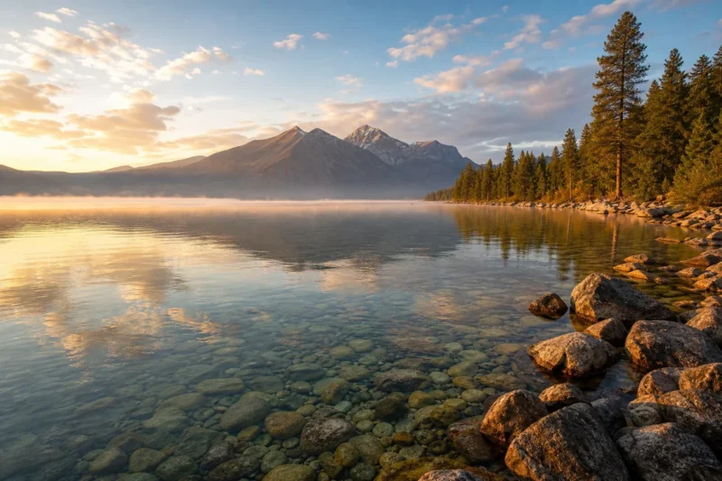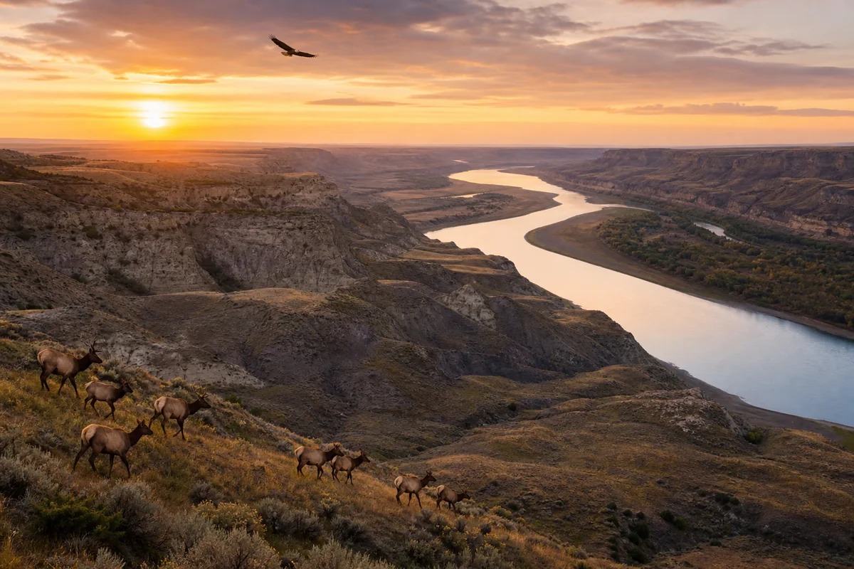
Standing on the edge of the Missouri River Breaks at dusk, watching a herd of elk pick their way down a coulée while a golden eagle rides a thermal overhead, it’s hard to believe this corner of Montana remains so quietly overlooked.
Phillips County is part of the extraordinary tapestry of 56 Montana Counties, yet it might be the one that rewards patient, curious travelers the most. Out here, the landscape is raw, the towns are real, and the solitude is genuinely earned.
- Phillips County sits in north-central Montana, centered on the town of Malta — the county seat and main service hub
- The Missouri River Breaks and Bowdoin National Wildlife Refuge are the headline natural attractions
- World-class wildlife watching, dinosaur fossil history, and big-sky prairie scenery draw visitors year-round
- Infrastructure is sparse — fuel up, plan your meals, and bring a paper map as a backup
- Best visited May through October; summer brings warmth and wildlife activity, fall brings hunters and golden light
- Accommodation options are limited but genuine — budget for basic motels or bring camping gear
Liked this article?
Add Roaming Montana as a preferred source so you see more of our articles and guides on Google.
Where Is Phillips County?
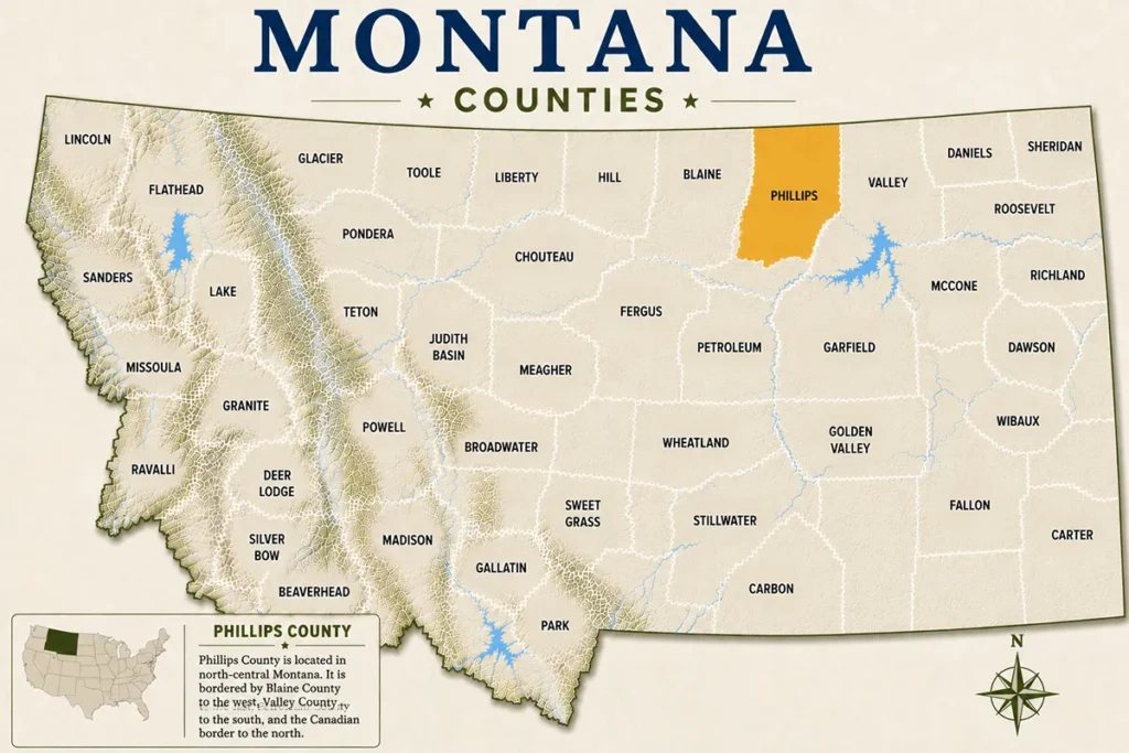
Phillips County occupies a substantial stretch of north-central Montana, bordered by Canada to the north and the Missouri River to the south.
The county covers roughly 5,140 square miles — an area larger than the state of Connecticut — yet its population sits somewhere around 4,000 people, according to recent U.S. Census estimates.
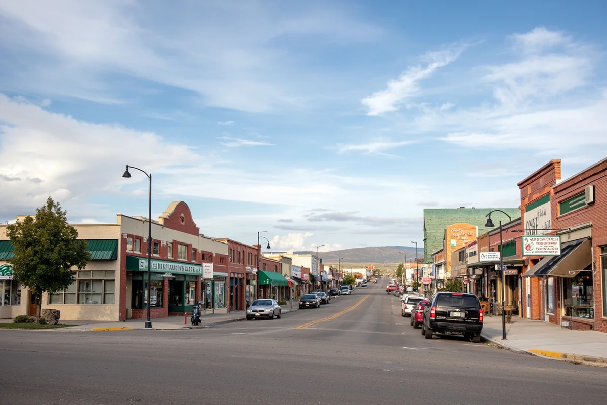
Malta, the county seat, sits along US Highway 2, the famous “Hi-Line” that runs east-west across northern Montana. It’s roughly 280 miles northeast of Great Falls and about 75 miles west of Glasgow. Plan on driving — there’s no commercial air service here, and that remoteness is genuinely part of the appeal.
Neighboring counties worth exploring on a longer road trip include Blaine County to the west and Hill County to the northwest. Together, they form one of the most authentically wild corridors in the American West.
A Sense of Place: What Makes Phillips County Unique
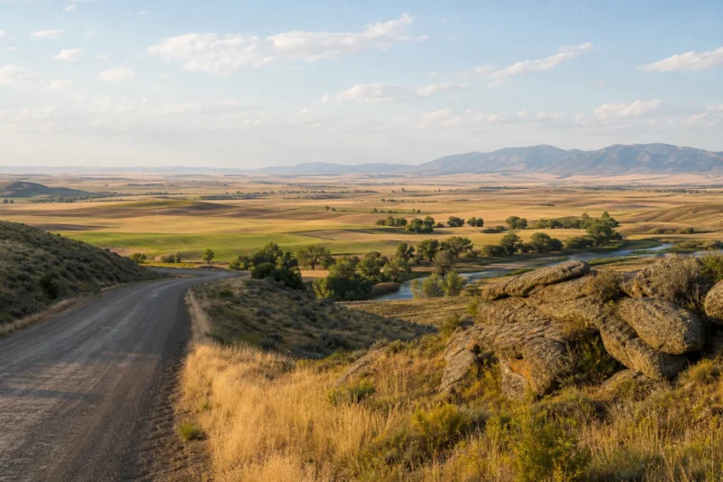
Phillips County doesn’t have ski resorts or national park entrance gates. What it has is something harder to manufacture: genuine, intact shortgrass prairie that stretches to every horizon, broken only by the jagged terrain of the Missouri Breaks and the silver ribbon of the river itself.
This is Charles M. Russell country in the most literal sense. The legendary cowboy artist spent years working cattle in this region, and the landscape he painted compulsively — the coulées, the benchlands, the enormous skies — is essentially unchanged today. That continuity between historical record and present reality is genuinely rare in the American West.
One thing that caught me off guard on my first visit was how quickly the elevation and terrain shift here. The flat Hi-Line benchlands near Malta drop abruptly into the Missouri River Breaks just 30 miles south, creating two completely different ecosystems within a short drive. Most visitors who only travel Highway 2 miss this entirely.
Top Things to Do in Phillips County
Bowdoin National Wildlife Refuge
About seven miles east of Malta, Bowdoin National Wildlife Refuge is one of the genuinely underrated birding destinations in the entire American West. Established in 1936, the refuge covers approximately 15,550 acres of wetlands, native uplands, and prairie — managed by the U.S. Fish & Wildlife Service specifically to support migratory birds on the Central Flyway.
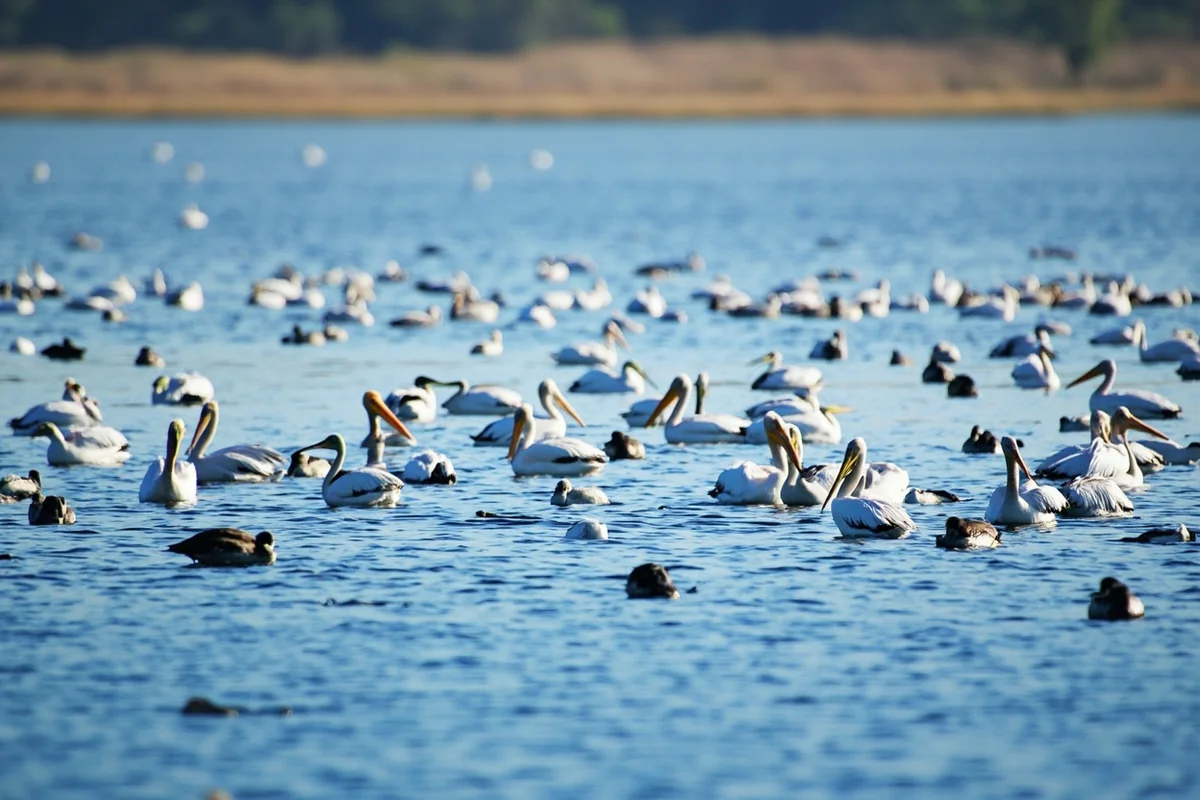
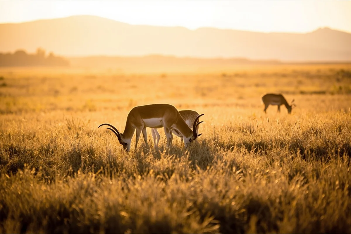
During a late-May visit, the noise alone is stunning. American white pelicans, double-crested cormorants, and dozens of duck species crowd the main lake, while white-tailed deer and pronghorn antelope move through the upland edges at dawn. According to the U.S. Fish & Wildlife Service, Bowdoin hosts over 270 bird species throughout the year — a number that genuinely earns the word “world-class.”
The 15-mile auto tour route is the primary way most visitors explore the refuge, and it’s accessible to passenger vehicles during dry conditions. What the brochure doesn’t mention: the road can become genuinely impassable after heavy rain — bring a vehicle with decent clearance if there’s been recent precipitation, and check conditions at the Malta field office before heading out.
Charles M. Russell National Wildlife Refuge
The Charles M. Russell National Wildlife Refuge — commonly called the CMR — is one of the largest national wildlife refuges in the lower 48 states, covering over 1.1 million acres across several counties including Phillips. The southern edge of Phillips County borders the CMR along the Missouri River, creating some of the most spectacular and accessible wilderness anywhere in Montana.
Elk, mule deer, pronghorn, bighorn sheep, and wild horses all live here. What surprised me most was the density of wildlife even on weekday visits — this isn’t a destination where you have to get lucky. The habitat is so intact and the human pressure so low that wildlife sightings feel almost guaranteed with even modest patience.
According to Montana Fish, Wildlife & Parks, the CMR also supports one of the healthiest populations of sharp-tailed grouse in the state, making it a destination for bird hunters every fall. If you’re visiting in September or October, expect to share the back roads with hunters — and plan accordingly if your goal is photography rather than harvest.
Missouri River Breaks
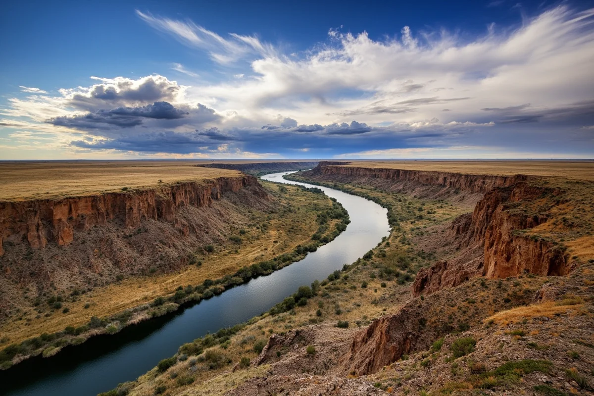
The Upper Missouri River Breaks National Monument — managed by the Bureau of Land Management — extends into the southern portion of Phillips County, and this is where the county’s landscape becomes genuinely dramatic. The Breaks are a maze of eroded badlands, river-cut coulées, and limestone formations carved by thousands of years of Missouri River action.
Accessing the Breaks from the Phillips County side typically means driving south from Malta on one of several county roads before transitioning to BLM two-track. A high-clearance vehicle is not just recommended — it’s essential. During my own exploration of the southern CMR boundary roads, what looked like a straightforward 20-mile loop on the map took nearly four hours in dry conditions.
The payoff is absolute isolation and scenery that genuinely looks prehistoric. Lewis and Clark passed through this country in 1805 and described it with something close to awe in their journals — a reaction that still holds up today.
Phillips County Museum and Dinosaur Discoveries
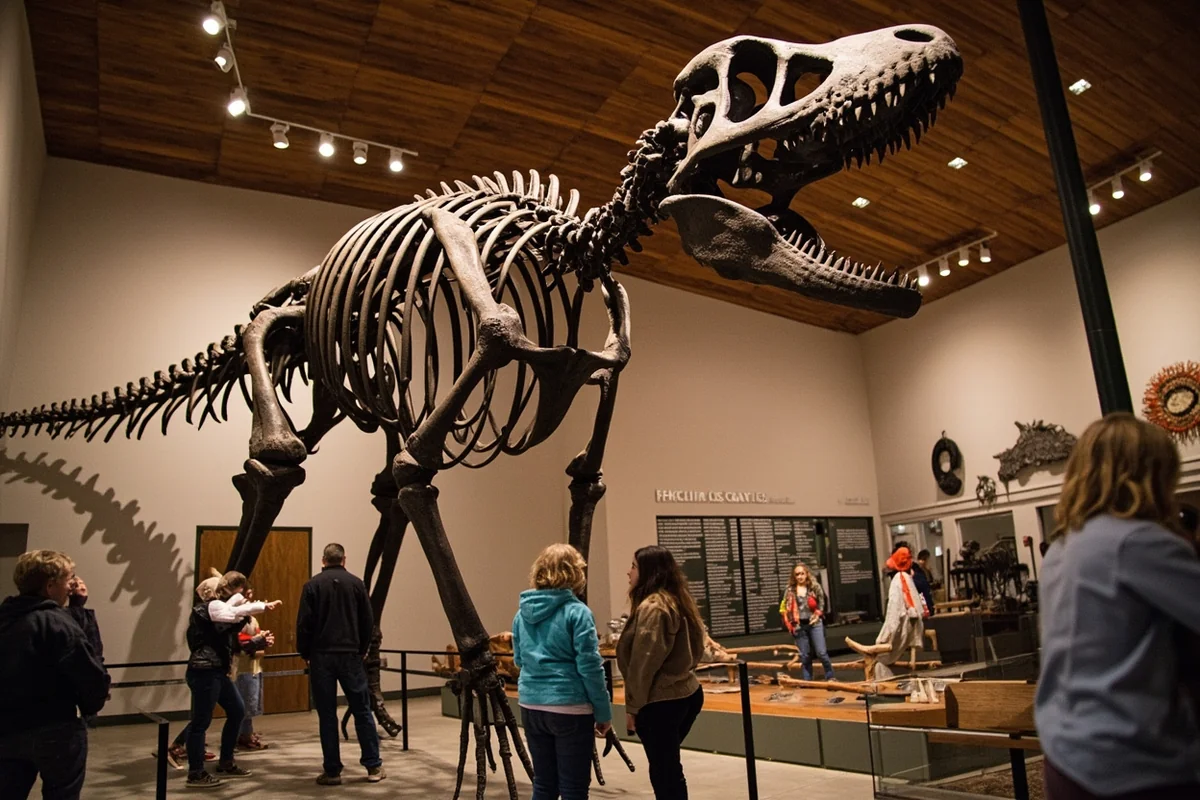
Malta turns out to be an unlikely but legitimate dinosaur destination. The Phillips County Museum in downtown Malta houses one of the most significant dinosaur exhibits in rural Montana, centered on a remarkably complete Brachylophosaurus skeleton nicknamed “Elvis” — discovered in Phillips County badlands in 2000.
The museum also houses “Leonardo,” considered by the Guinness Book of World Records to be one of the best-preserved dinosaur mummies ever found — a Brachylophosaurus with actual fossilized soft tissue. Admission is typically modest, generally around the $5–$8 per adult range at time of writing, and the exhibit space is more impressive than the exterior suggests.
For visitors who want to go beyond the museum, the Judith River Dinosaur Institute operates guided field programs in Phillips County. These aren’t cheap — expect to pay several hundred dollars for multi-day programs — but for serious paleontology enthusiasts, the opportunity to work an active dig site is genuinely extraordinary.
Hunting and Fishing
Phillips County has a serious reputation among Montana’s hunting community, and for good reason. Mule deer, whitetail, elk, pronghorn, upland birds, and waterfowl are all present in huntable numbers.
According to Montana Fish, Wildlife & Parks, Phillips County’s Block Management Area program opens significant private-land acreage to public hunting each fall — something that doesn’t exist at this scale in many other states.
Fishing in the Missouri River and its tributaries produces sauger, walleye, northern pike, and channel catfish. This isn’t trout-stream fly-fishing country — it’s a more rugged, utilitarian kind of fishing that fits the landscape perfectly. The Milk River, which runs through the northern part of the county, also offers decent fishing when water conditions cooperate.
Anyone planning to hunt or fish in Montana needs the appropriate state licenses, available through Montana Fish, Wildlife & Parks. Non-resident licenses represent a significant cost — plan ahead and purchase before arrival, as local vendors can have limited stock.
Suggested Itinerary
Day 1: Arriving and Settling In
Arrive in Malta via US Highway 2 — either driving east from Havre (about 115 miles) or west from Glasgow (about 75 miles). Get fuel and groceries the moment you arrive, because options become sparse quickly once you leave town.
Spend the afternoon at the Phillips County Museum to orient yourself to the region’s natural and cultural history.
The dinosaur exhibits alone take 90 minutes if you’re genuinely engaged. In the early evening, drive the auto tour route at Bowdoin NWR — the light is best in the last two hours before sunset, and bird activity peaks as temperatures drop.
Day 2: Into the Breaks
Start early — by 6:30 a.m. if possible. Drive south from Malta on Highway 191 toward the Missouri River Breaks, stopping at any established BLM viewpoints you encounter. The drive to the river via public access takes roughly 1.5 to 2 hours from Malta depending on your route.
Spend the middle of the day exploring on foot or by vehicle in the CMR. Bring everything you need — water, food, a first aid kit, and a physical map. Cell service is nonexistent for much of this drive. Return to Malta for dinner; expect to be back by early evening.
Day 3: Prairie and Departure
Morning birding at Bowdoin NWR again — early light produces different species than the evening session, particularly raptors and shorebirds during migration. Ferruginous hawks were visible on almost every morning visit during late May.
Before departing, stop at the Malta Sale Barn on a sale day if your timing allows — this is a working cattle auction, not a tourist attraction, and watching the genuine agricultural economy of Phillips County in action is a memorable experience. Head back onto Highway 2 and continue your Montana journey.
Practical Information for Visitors
| Category | Details |
|---|---|
| County Seat | Malta, Montana |
| Population | Approximately 4,000 (U.S. Census estimates) |
| Area | Approximately 5,140 square miles |
| Best Time to Visit | May–June (birding/wildlife), September–October (fall color, hunting) |
| Nearest Major City | Great Falls (~280 miles southwest); Glasgow (~75 miles east) |
| Cell Service | Reliable in Malta; very limited to nonexistent in the Breaks |
| Fuel | Available in Malta and Saco; fill up before heading south |
| Road Conditions | Highway 2 paved year-round; BLM roads require high clearance and vary with weather |
| Emergency Services | Phillips County Sheriff, Phillips County Hospital in Malta |
Where to Stay in Phillips County
Accommodation options in Phillips County are limited but functional. Malta has several independently owned motels along the Hi-Line strip, generally ranging from roughly $70–$130 per night depending on season. Expect clean, basic rooms rather than boutique experiences — and that’s genuinely fine for a destination that’s all about what’s outside.
The Tin Cup Bar & Suites and the Maltana Motel are among the most consistently mentioned local options. Booking ahead during the summer wildlife season and fall hunting season is strongly advised — the county has limited rooms and they fill faster than you’d expect.
Camping is available at Bowdoin NWR (primitive, no hookups) and on BLM land throughout the county. Dispersed camping on BLM land is generally free and requires no permit for stays under 14 days, though you should verify current rules directly with the Malta BLM Field Office before heading out.
Where to Eat in Malta
Malta’s dining scene is small but genuine. The Great Plains Dining & Lounge is typically cited as the top sit-down option in town, serving hearty American food in a setting that feels like actual Montana rather than a curated version of it. Expect to pay in the $15–$30 per person range for a full meal with a drink.
The Westside Restaurant is a reliable breakfast option, the kind of place where local ranchers are already on their second coffee by the time most visitors arrive. Eating breakfast alongside working ranch families before heading out into the Breaks is one of those subtle experiences that makes rural Montana travel genuinely memorable.
Don’t expect late-night dining options — most kitchens close by 8 or 9 p.m., and Sunday hours are often reduced. Pack snacks and water for any backcountry excursion regardless of how long you think you’ll be out.
What Most Visitors Get Wrong About Phillips County
The most common mistake is underestimating distances. Looking at a county map and thinking the Missouri River looks “close” to Malta is a trap — those 30 miles can take over an hour when the road surface deteriorates, and what looks like a quick out-and-back becomes a serious commitment.
A close second mistake is ignoring weather. Phillips County sits in a region prone to dramatic weather shifts, particularly in spring and early fall. A warm, blue-sky morning can become a muddy, impassable nightmare by afternoon if thunderstorms roll through.
Checking the National Weather Service forecast for Malta specifically — not just a generic Montana forecast — before any backcountry drive is not optional.
The third mistake, and the one that bothers me personally, is treating the area like a drive-through. Visitors who stay one night, check the boxes, and move on miss the rhythm of the place entirely.
The light in the morning over the Breaks, the way the sound of meadowlarks builds as the day warms up, the genuine hospitality of the people at the gas station in Saco who ask where you’re heading — that texture only reveals itself if you slow down.
For comparison, Garfield County to the southeast and Chouteau County to the west share this same unhurried quality. If you’re building a longer Hi-Line road trip, these are natural complements to a Phillips County visit.
Seasonal Considerations
Spring (April–May)
Spring is arguably the most dramatic season in Phillips County. Snow can still fall in April, and the roads in the Breaks can be genuinely dangerous after a late-season storm. But by mid-May, the prairie greens up fast, migratory birds pour into Bowdoin NWR, and the wildlife activity in the CMR hits a peak. This is the season for birders and photographers.
Summer (June–August)
Summer brings heat — temperatures regularly reach the upper 80s and into the 90s°F — and afternoon thunderstorms are common. The upside is long daylight hours (sunrise before 5:30 a.m. in June), accessible roads, and comfortable camping conditions. The downside is mosquitoes near any standing water, particularly at Bowdoin.
Fall (September–October)
Fall transforms Phillips County into a hunter’s landscape, but it’s also spectacular for any visitor. The golden light on the prairie grasses, the bugling elk in the Breaks, and the first sharp frosts create a version of this place that summer visitors never see. Book accommodation far ahead if you’re visiting in September or October — hunter demand is substantial.
Winter (November–March)
Winter is serious here. Temperatures can drop well below zero, and Highway 2 occasionally closes during blizzards. Unless you’re an experienced winter traveler with appropriate gear and a reliable vehicle, most visitors are better served by the other three seasons.
Connecting to the Broader Region
Phillips County fits naturally into a larger north-central Montana road trip. Driving east on Highway 2 brings you into Dawson County territory, while heading west connects you toward Cascade County and Great Falls.
The Hi-Line corridor is one of Montana’s most authentic and underdriven routes, threading through communities that have changed relatively little in the past century.
For travelers interested in how Montana’s rural counties compare in terms of population trends and development, the analysis at Montana’s Fastest Growing Cities and Counties provides useful context — Phillips County’s population has been slowly declining for decades, which is precisely why the landscape and culture feel so intact.
Other wild, remote Montana counties worth pairing with a Phillips County visit include Carter County in the southeast corner of the state and Daniels County near the Canadian border — each offering a similar combination of vast space, minimal tourism infrastructure, and genuinely memorable landscapes.
Final Thoughts
Phillips County rewards the kind of traveler who still believes that the best experiences don’t come pre-packaged. There’s no single Instagram moment that sums it up — it’s the accumulation of details that matters: the smell of sage after rain, the silence of the Breaks at noon, the unexpected warmth of a conversation with someone who has lived on this land their whole life.
What I’d tell any traveler considering Phillips County is this: give it more time than you think you need, bring more supplies than you think you’ll use, and resist the urge to optimize every hour. The county’s greatest gift is the space to actually be somewhere, rather than passing through it.
Montana’s most visited places are spectacular, but there’s a different kind of value in places like Phillips County — one that has nothing to do with crowds or amenities and everything to do with the raw, unmediated experience of the American West as it actually is.
How We Researched This Guide
This guide is based on multiple visits to Phillips County across different seasons, including spring birding trips to Bowdoin National Wildlife Refuge and fall drives through the Charles M. Russell National Wildlife Refuge.
We consulted directly with the Malta BLM Field Office and the U.S. Fish & Wildlife Service regarding current conditions at Bowdoin NWR, and verified natural history and wildlife data with Montana Fish, Wildlife & Parks.
The Phillips County Museum provided information on the dinosaur exhibit collection, and details on road conditions were cross-referenced with the Montana Department of Transportation. Conversations with local businesses and lodging operators in Malta informed the practical planning sections.
Frequently Asked Questions
What is the best time of year to visit Phillips County, Montana?
The best time to visit Phillips County is late spring through early fall, with June through August offering the most reliable weather for outdoor activities like fishing, hiking, and wildlife watching at the Charles M. Russell National Wildlife Refuge. Fall brings stunning golden prairie landscapes and excellent hunting seasons, while winters are harsh and remote roads can become impassable, so plan accordingly if visiting between November and March.
How far is Phillips County, Montana from major US cities?
Phillips County sits in north-central Montana, roughly 285 miles northeast of Great Falls, about 350 miles east of Missoula, and approximately 650 miles northwest of Billings if you’re coming from the southeast. The county seat of Malta is accessible via US Highway 2, often called the Hi-Line, making it a natural stop on a northern Montana road trip from Minot, North Dakota, which sits about 370 miles to the east.
What are the top things to do in Phillips County, Montana for outdoor travelers?
Phillips County is best known for world-class paddling and fishing along the Missouri River Water Trail through the Upper Missouri River Breaks National Monument, where the landscape looks almost unchanged since Lewis and Clark passed through. The Charles M. Russell National Wildlife Refuge, one of the largest in the lower 48 states, offers exceptional wildlife viewing for elk, pronghorn, mule deer, and migratory birds across nearly 1.1 million acres of rugged prairie and badlands.
Is Phillips County, Montana a good destination for fossil hunting and dinosaur sites?
Absolutely — Phillips County is considered one of the premier dinosaur fossil destinations in the entire country, with the Phillips County Museum in Malta housing the remarkably complete T. rex specimen known as ‘Peck’s Rex’ and the famous hadrosaur ‘Elvis.’ The surrounding badlands and prairie are genuine fossil-bearing formations, and guided fossil dig experiences are available seasonally, making it a must-visit for dinosaur enthusiasts traveling through Montana.
What should I budget for a trip to Phillips County, Montana?
Phillips County is one of Montana’s more affordable destinations, with motel rooms in Malta typically running $80–$130 per night and RV campsite fees ranging from free on BLM land to around $20–$30 at developed sites. Dining options are limited but budget-friendly, with most sit-down meals costing $10–$20 per person, so plan to stock up on groceries in Malta before heading into the backcountry since services are extremely sparse once you leave town.
What should I pack for a road trip to Phillips County, Montana?
Because much of Phillips County is remote high desert prairie with limited cell service and few services outside Malta, packing essentials like extra water (at least one gallon per person per day for backcountry days), a paper map or downloaded offline GPS maps, a first-aid kit, and a full-size spare tire is strongly recommended. Layers are essential year-round since temperatures can swing 40°F in a single day, and bug spray is a must from late May through July when mosquitoes are heavy near the Missouri River bottomlands.
Are there guided float trips on the Missouri River through Phillips County?
Yes, several licensed outfitters offer multi-day canoe and kayak float trips through the Wild and Scenic section of the Missouri River that passes through Phillips County, with guided trips typically running $150–$300 per person per day including meals and camping gear. These trips typically launch near Fort Benton and take 5–10 days to reach the takeout near Fred Robinson Bridge, giving you an immersive look at the same untouched White Cliffs and river corridor that Lewis and Clark described in their journals.