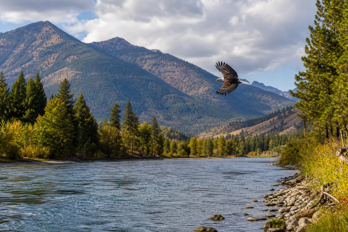
Standing at the edge of the Clark Fork River as a bald eagle swept low over the water just upstream, what struck me wasn’t the eagle itself — it was the silence around it. No crowds, no tour buses, no gift shops. Sanders County, tucked into the far northwest corner of Montana, is one of those rare places that still feels genuinely undiscovered, even among the broader tapestry of the 56 Montana Counties that make up this extraordinary state.
- Sanders County sits in northwest Montana along the Clark Fork River, bordered by the Cabinet Mountains and the Flathead Indian Reservation.
- Top draws include the National Bison Range, Wild Horse Island, Noxon Rapids Reservoir, and the Kootenai Falls area nearby.
- Thompson Falls is the county seat and a solid base for exploring the region.
- Best visited May through September, though fall foliage in October is underrated and far less crowded.
- Cell service is patchy throughout — download offline maps before you go.
- Wildlife viewing here rivals anything in better-known Montana counties, with minimal crowds.
Liked this article?
Add Roaming Montana as a preferred source so you see more of our articles and guides on Google.
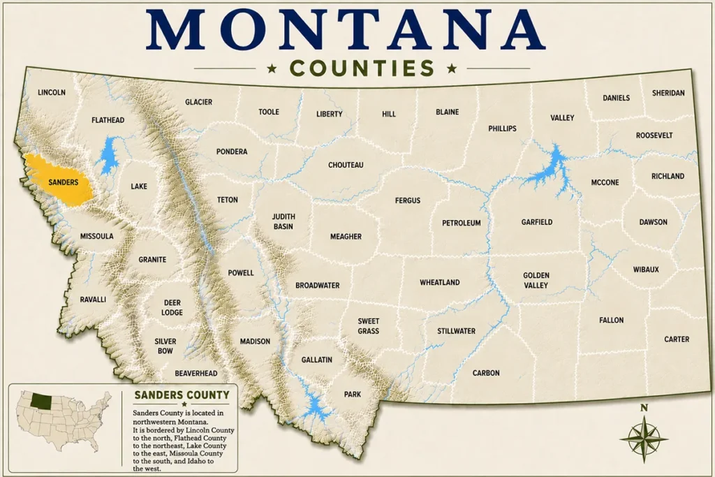
Where Is Sanders County, Montana?
Sanders County occupies the northwest corner of Montana, roughly 90 miles north of Missoula via US-200. It shares borders with Lincoln County to the north, Mineral County to the east, Lake County to the northeast, and Idaho to the west.
The Clark Fork River is the county’s defining geographic feature, carving through a broad valley before joining the Pend Oreille River system. The Cabinet Mountains rise dramatically to the north and west, while the lower valleys stay relatively accessible year-round.
Thompson Falls serves as the county seat with a population hovering around 1,300. Despite its small size, it punches well above its weight for services, with grocery stores, fuel, and a handful of decent restaurants.
A Quick History of Sanders County
Sanders County was established in 1905, carved out of Missoula County during a period of rapid settlement driven by railroad expansion and timber. It was named after Wilbur Fisk Sanders, a prominent Montana attorney and one of the state’s first two US senators.
The county’s history is deeply tied to the Salish and Kootenai people, whose ancestral territory covered much of this landscape long before European settlement. The Flathead Indian Reservation — still home to the Confederated Salish and Kootenai Tribes — borders Sanders County to the east, and the relationship between the county and the reservation shapes much of the region’s culture and politics today.
The early 20th century brought logging and hydroelectric development, and several dams along the Clark Fork — including Noxon Rapids Dam and Cabinet Gorge Dam — fundamentally changed the river’s character. Those dams also created the reservoirs that now draw boaters and anglers from across the region.
Top Things to Do in Sanders County
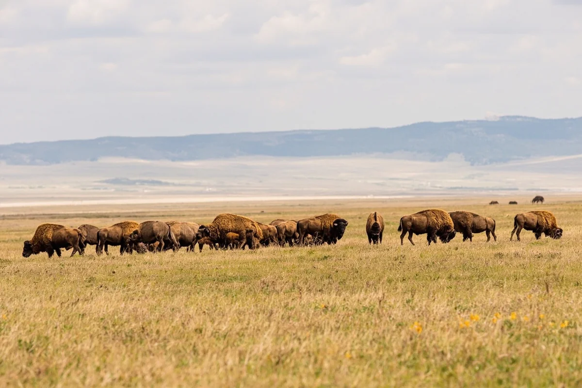
National Bison Range
Technically located in adjacent Lake County near Moiese, the National Bison Range sits close enough to the Sanders County border that most visitors combine it with a Sanders County trip. Managed by the Confederated Salish and Kootenai Tribes in partnership with the US Fish and Wildlife Service, the range protects one of the country’s oldest publicly managed bison herds.
Visiting during late spring or early fall is noticeably better than peak summer — the bison are more active in cooler temperatures, and the 19-mile auto tour loop doesn’t clog with traffic. What most visitors miss is that the range also holds pronghorn, bighorn sheep, elk, and mule deer in significant numbers.
The entrance fee was around $10 per vehicle at the time of writing, making it exceptional value. Arrive by 8 a.m. if you want the loop mostly to yourself.
Noxon Rapids Reservoir
The reservoir stretches for roughly 25 miles through the Clark Fork Valley and offers some of the most accessible flatwater boating and fishing in the county. Largemouth bass, smallmouth bass, and perch are common catches here. The largemouth fishing surprised me — it felt more like fishing in the Midwest than mountain Montana, which is partly because the reservoir’s warmer, slower water suits bass perfectly.
Public boat launches are available at Noxon and at various USDA Forest Service access points. Kayakers and paddleboarders use the reservoir heavily in summer, particularly around the Noxon area where the water is calm and the surrounding forested hillsides are genuinely beautiful.
Thompson Falls State Park
Just east of town, Thompson Falls State Park sits along the Clark Fork River and offers a short trail leading to viewpoints of the old Thompson Falls dam site. The falls themselves are no longer the dramatic cascade they once were — the dam altered the flow significantly — but the river scenery and wildlife corridors here make it a worthwhile stop.
Early morning visits regularly produce sightings of white-tailed deer, wild turkeys, and osprey hunting along the riverbanks. The park is compact and often overlooked, which means you’ll rarely share it with more than a handful of other visitors.
Cabinet Mountains Wilderness
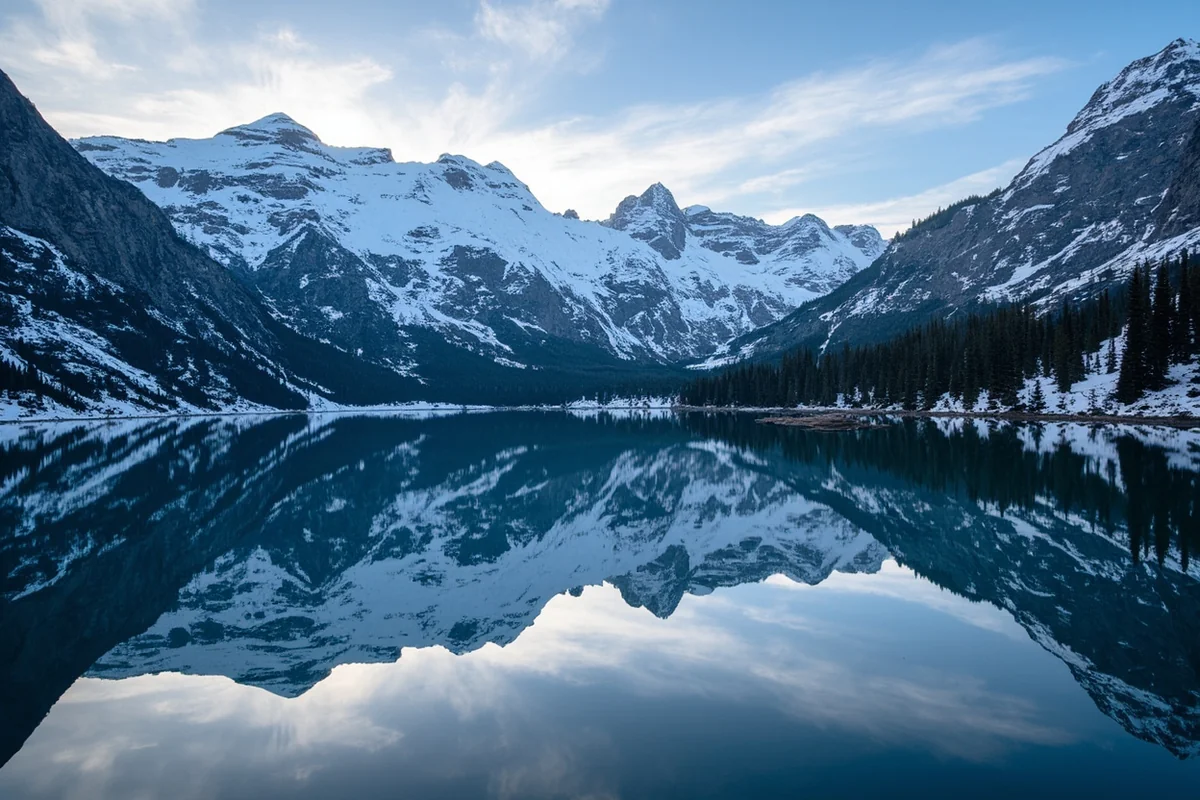
The Cabinet Mountains Wilderness, administered by the USDA Forest Service, covers over 94,000 acres of rugged, heavily forested terrain directly northwest of Thompson Falls. According to the Kootenai National Forest, the wilderness includes over 90 miles of trails, dozens of alpine lakes, and some of the most dramatic mountain terrain in northwest Montana.
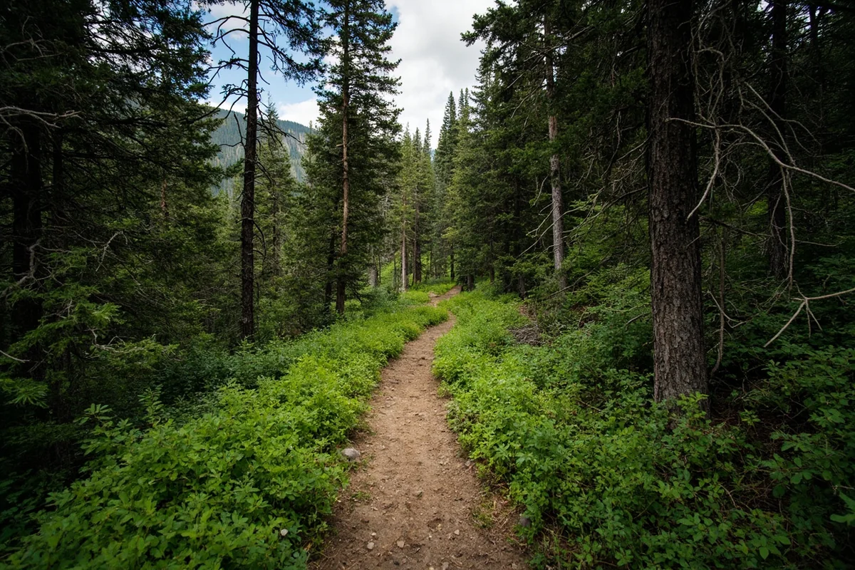
Trails like the Cliff Lake Trail and the South Fork Bull River Trail are genuinely challenging — expect elevation gains of 2,000 to 3,000 feet over relatively short distances. What the Cabinet Mountains offer that more famous wilderness areas in Montana don’t is near-total solitude; on a mid-July weekend, the trailheads see a fraction of the traffic you’d encounter in the Bob Marshall Wilderness or Glacier National Park.
Grizzly bears are present in the Cabinet Mountains — a detail that deserves serious attention rather than a passing mention. Carry bear spray, know how to use it, and make noise on trails. The Cabinet-Yaak grizzly population is small and critically important, and the forest service requests minimal impact from visitors.
Wild Horse Island State Park
Wild Horse Island in Flathead Lake — again, technically in Lake County — is a popular side trip for visitors based in Sanders County. The island is reached by private boat only and contains a herd of wild horses, bighorn sheep, and bald eagles. There is no ferry service; visitors rent boats or kayaks from marinas in Polson or Big Arm.
The crossing from Big Arm is roughly 1.5 miles and manageable in calm weather, but afternoon winds on Flathead Lake can build quickly. An early morning crossing is genuinely advisable, not just generic safety advice.
Fishing in Sanders County
The Clark Fork River system within Sanders County holds bull trout, westslope cutthroat trout, and mountain whitefish. Bull trout are a protected species — according to Montana Fish, Wildlife & Parks, they must be released immediately if caught — so confirm current regulations before fishing.
The lower Clark Fork, downstream of the Cabinet Gorge Dam, is known for quality fly fishing and is less pressured than more famous stretches upstream near Missoula. Several outfitters in the Thompson Falls area offer guided trips and local knowledge that’s worth the cost, especially if it’s your first time fishing this section of river.
Wildlife Watching
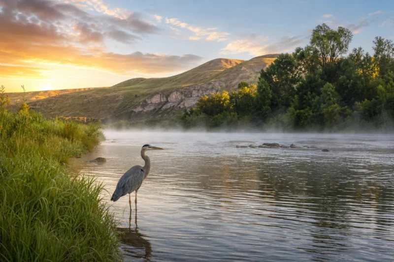
Sanders County is genuinely exceptional for wildlife, and this isn’t typical travel-blog hyperbole. On a single morning drive along Highway 200 between Thompson Falls and Plains, it’s realistic to spot white-tailed deer, wild turkeys, osprey, and great blue herons without leaving the car window.
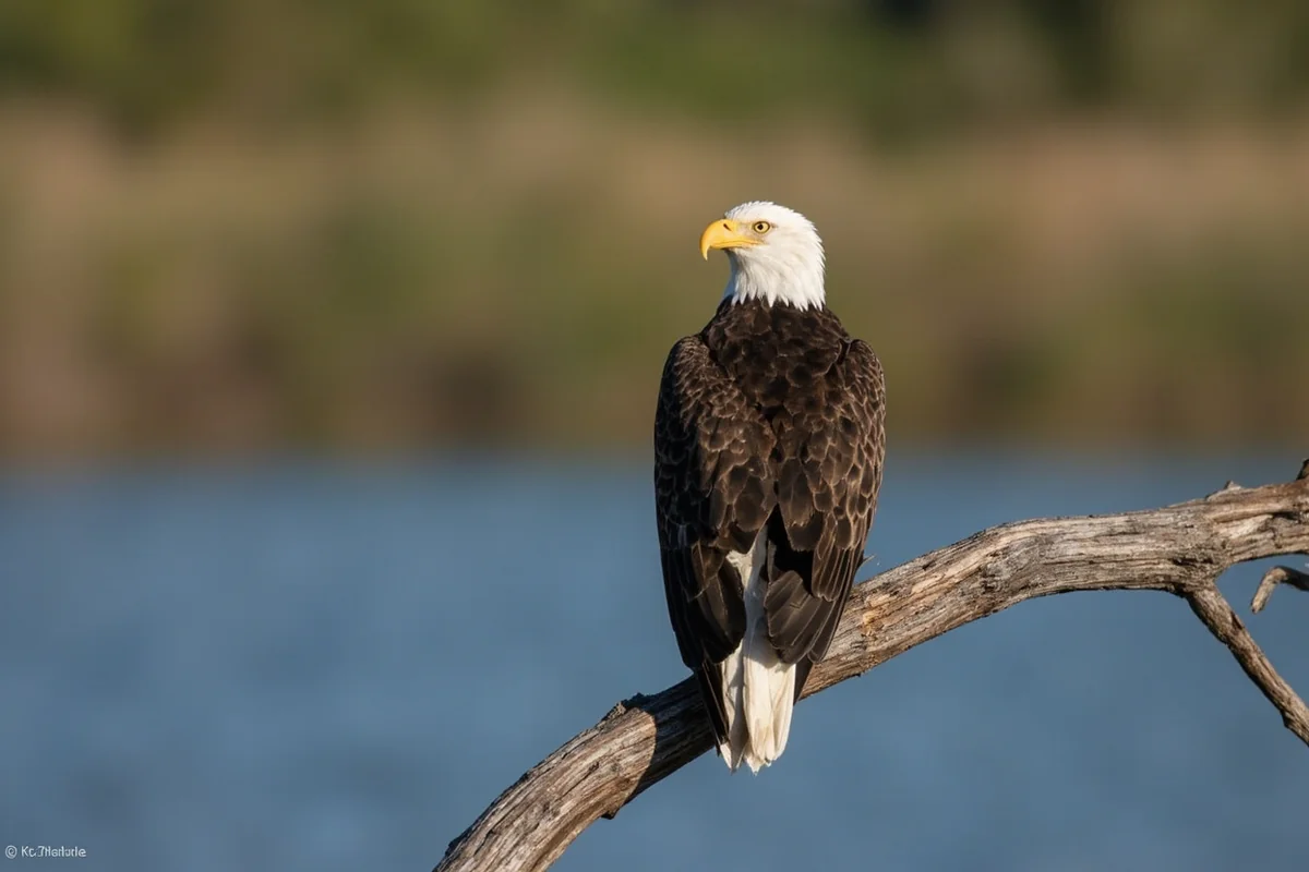
The river corridor between Plains and Thompson Falls is a particularly productive wildlife zone. Moose are occasionally spotted in the marshy areas north of the river, and bald eagle sightings are almost routine in winter when the birds congregate along open water.
Towns and Communities in Sanders County
Thompson Falls
The county seat is small but functional, with enough amenities to make it a comfortable base. There’s a decent range of accommodation from budget motels to short-term vacation rentals, a couple of local diners, and a historic downtown main street that hasn’t been overdeveloped. The Sanders County Ledger, the local newspaper, is a surprisingly useful resource for understanding what’s happening in the area.
Plains
Plains sits at the eastern edge of the county where Highway 200 meets the Clark Fork and offers a handful of basic services. It’s a quiet agricultural community and a logical first stop if you’re approaching from Missoula. The Clark Fork Valley between Plains and Thompson Falls is one of the most scenic stretches of Highway 200 in the entire state.
Trout Creek
Tucked along Highway 200 near the Idaho border, Trout Creek is a tiny community that serves as an access point for the lower Clark Fork and Cabinet Mountains. The town has a strong community feel and limited services — fuel and a small general store, essentially. It’s worth knowing about if you’re heading toward the Noxon area.
Noxon
Noxon is the closest town to Noxon Rapids Reservoir and Cabinet Gorge Dam. It’s a small but charming community and a better base than many visitors expect for exploring the western end of the county.
Practical Information for Visitors
| Category | Details |
|---|---|
| County Seat | Thompson Falls |
| Best Time to Visit | May–September; October for fall foliage |
| Main Highway | US Highway 200 |
| Nearest Airport | Missoula Montana Airport (~90 miles east) |
| Cell Coverage | Patchy; download offline maps before leaving town |
| National Forest | Lolo National Forest and Kootenai National Forest |
| Wilderness Area | Cabinet Mountains Wilderness (94,000+ acres) |
| Main Wildlife Agency | Montana Fish, Wildlife & Parks |
| Grizzly Bear Country | Yes — bear spray required in Cabinet Mountains |
| Camping Options | USDA Forest Service campgrounds; dispersed camping available |
Where to Stay in Sanders County
Accommodation in Sanders County runs the spectrum from basic Forest Service campgrounds to comfortable vacation rentals and small motels.
For those who prefer a roof overhead, Thompson Falls has the most options — expect to pay roughly $80–$140 per night for a motel room depending on season and availability. The summer peak sees prices climb, while shoulder season deals are common. Vacation rentals on platforms like VRBO have expanded the options significantly over the last few years, with several riverside properties available in the Plains-to-Thompson Falls corridor.
Camping is genuinely excellent here. The USDA Forest Service maintains several developed campgrounds along the Clark Fork and within the Kootenai and Lolo National Forests. Sites typically run under $25 per night, with some first-come, first-served sites available even at peak times — a contrast to the heavily booked situation you’d encounter in Flathead County or near Glacier. Dispersed camping on Forest Service land is free with standard leave-no-trace requirements.
Getting to Sanders County
Most visitors fly into Missoula Montana Airport, rent a car, and drive northwest on US Highway 200. The drive takes roughly 90 minutes in good conditions and is scenic from the moment you leave the Missoula valley.
Coming from Spokane or northern Idaho, Highway 200 enters the county from the west via Trout Creek — a beautiful approach through the lower Clark Fork canyon. This western approach is less commonly used by tourists but offers some of the most dramatic roadside scenery in the county.
A 4WD or AWD vehicle is strongly recommended if you plan to access backcountry areas, Forest Service roads, or the Cabinet Mountains. Summer conditions on paved roads are generally straightforward, but the forest roads can be rough even in dry weather.
When to Visit Sanders County
Spring (April–May)
Spring brings snowmelt-swollen rivers, blooming wildflowers on south-facing slopes, and the return of migratory birds. Fishing can be challenging during peak runoff, but the landscape is genuinely spectacular. Some higher elevation trails remain snowbound into late May.
Summer (June–August)
Summer is peak season. Temperatures in the valley typically range from the mid-60s°F to the low 90s°F, with higher elevations staying significantly cooler. Hiking, fishing, and boating are all at their best, but this is also when the county sees its highest visitor numbers — which, in Sanders County terms, still means relatively light crowds compared to Gallatin County or Glacier.
Fall (September–October)
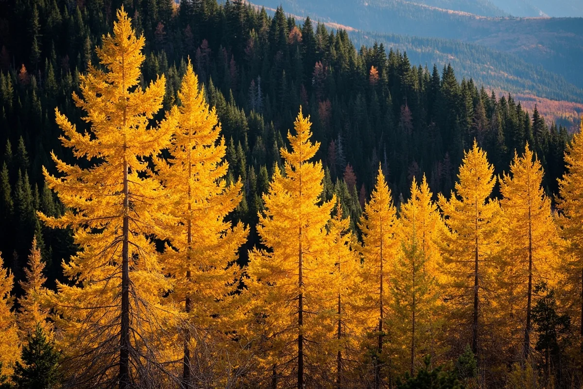
Fall is genuinely underrated here. The larch trees in the Cabinet Mountains turn a brilliant gold in late September and early October — this is something most travel guides completely skip over. Western larch is the only deciduous conifer native to North America, and the Cabinet Mountains hold significant larch populations. The visual effect on a clear October morning is extraordinary, and the crowds are almost nonexistent.
Winter (November–March)
Winter is quiet, cold, and best suited to travelers specifically seeking solitude or winter wildlife watching. Snowmobiling is popular on the groomed trail systems maintained by local clubs, and ice fishing draws a dedicated crowd to the reservoirs. Road conditions can be challenging, and services are reduced across the county.
Suggested Itinerary
Day 1: Arriving, Plains, and the Clark Fork Valley
Arrive in the county via Highway 200 from Missoula. Stop in Plains for a coffee and a quick walk along the Clark Fork riverfront — the bird activity along the riverbanks here in the morning is worth 20 minutes even if you’re just passing through.
Continue west to Thompson Falls and check into your accommodation. Spend the afternoon exploring Thompson Falls State Park and the short riverside trails near the old dam site. Evening in Thompson Falls is quiet — dinner at one of the local diners, then an early night before a full day ahead.
Day 2: Cabinet Mountains and Noxon Reservoir
Pack a full day pack and head northwest toward the Cabinet Mountains Wilderness trailheads. The drive up into the mountains takes roughly 45 minutes from Thompson Falls. Aim for an early start — the trailhead parking areas for popular routes like Cliff Lake are small, and on summer weekends they fill by mid-morning.
After hiking, descend back to Highway 200 and continue west to Noxon. The reservoir at late afternoon is peaceful and the fishing pressure drops off. Grab a meal in Noxon before the short drive back east to Thompson Falls.
Day 3: Wildlife Morning and the National Bison Range
Rise early for a slow wildlife drive along Highway 200 between Thompson Falls and Plains — this is one of those stretches where slowing down and watching pays dividends. By mid-morning, head south toward the National Bison Range near Moiese (roughly 50 miles from Thompson Falls via Highway 28).
Complete the 19-mile auto tour loop and allow at least two hours. This is realistically a half-day commitment once you factor in the drive. Return to Thompson Falls in the late afternoon or continue east toward Missoula if departing the next day.
What Most Visitors Get Wrong About Sanders County
The single most common mistake is underestimating distances and road conditions. Everything looks manageable on a map, but the Cabinet Mountains forest roads are slow, rough, and often unsigned. What looks like a 10-mile drive to a trailhead can take 45 minutes.
Another common error is expecting cell coverage to work when you need it. Downloaded offline maps — specifically Gaia GPS or AllTrails offline packs — are not optional in the backcountry here. On a trip several years back, a wrong turn on an unmarked forest road cost nearly two hours of backtracking because the signal dropped completely before the offline map was saved.
Many visitors also skip the fall visit entirely, focusing on summer. This is a genuine missed opportunity. The October larch display in the Cabinet Mountains is one of the most visually striking phenomena in northwest Montana, and it happens with almost no audience.
Finally, don’t underestimate the wildlife safety requirements in the Cabinet Mountains. Grizzly bear encounters in this range are rare but not impossible — the Cabinet-Yaak ecosystem supports a small and genetically important population, and the forest service takes habitat protection seriously. Carry bear spray, store food properly, and never leave a clean campsite. This isn’t boilerplate safety advice; it’s specific to this landscape.
Sanders County Compared to Other Montana Counties
For travelers working through the varied landscape of Montana, Sanders County occupies a distinct niche. It’s wilder and less visited than Cascade County to the east and far less commercially developed than Flathead County to the north.
Compared to Carbon County in the south — with its Beartooth Highway crowds and well-worn tourist infrastructure — Sanders County feels raw and self-sufficient. The visitors here tend to be experienced outdoors people, not first-time Montana tourists, and the services reflect that.
That’s not a drawback — it’s the point. If you’ve visited Glacier County and found the crowds overwhelming, or if you’ve explored Beaverhead County in the south and want something that feels equally remote but greener and wetter, Sanders County delivers something rare: genuine wilderness with just enough infrastructure to make a multi-day trip comfortable.
For context on how counties across Montana differ in character and growth patterns, Montana’s fastest-growing cities and counties provides useful background — Sanders County’s slow population growth is itself part of what preserves its character.
Final Thoughts
Sanders County won’t suit everyone. If you need consistent cell coverage, resort-level amenities, or a packed schedule of organized activities, there are Montana counties better set up for that kind of trip. But if what you’re looking for is the Montana that existed before it became a bucket-list destination, this is where to look.
What stayed with me longest after visiting wasn’t any single attraction — not the bison herd, not the Cabinet Mountains views, not the fishing. It was the quality of quiet. Sanders County has a particular kind of stillness that’s increasingly hard to find in Montana’s more visited corners.
Plan for at least three days to do the county justice, bring more supplies than you think you need, and arrive with a tolerance for self-reliance. The reward is a Montana experience that feels genuinely earned.
How We Researched This Guide
This guide is based on multiple visits to Sanders County across different seasons, including summer hiking in the Cabinet Mountains Wilderness, fall drives along Highway 200 during the larch season, and fishing the Clark Fork River in early June.
Information was verified with the USDA Forest Service Kootenai and Lolo National Forests, Montana Fish, Wildlife & Parks, the Confederated Salish and Kootenai Tribes’ tourism resources, and the Sanders County tourism office.
Local business owners and guides in Thompson Falls and Noxon provided additional current details, and key facts were cross-referenced with official sources including the National Bison Range and Montana State Parks.
Frequently Asked Questions
What is the best time of year to visit Sanders County, Montana?
The best time to visit Sanders County is late spring through early fall, roughly May through September, when the weather is warm enough to enjoy the lakes, rivers, and hiking trails. Summer months bring the most activity around Lake Koocanusa and the Flathead River, though July and August can draw bigger crowds, so visiting in June or September gives you a quieter, still-beautiful experience.
What are the top things to do in Sanders County, Montana?
Sanders County is an outdoor lover’s paradise, with highlights including fishing and kayaking on the Clark Fork River, exploring the wild beauty of the Cabinet Mountains Wilderness, and swimming or boating at Noxon Rapids Reservoir. The county seat of Thompson Falls also offers a stunning waterfall viewpoint and easy access to miles of uncrowded hiking and wildlife watching.
How far is Sanders County from Missoula, Montana?
Sanders County is roughly 70 to 100 miles northwest of Missoula depending on your destination within the county, making it an easy 1.5 to 2 hour drive along Highway 200. It’s a very doable day trip from Missoula, though staying overnight lets you fully explore the lakes, trails, and small towns at a relaxed pace.
Is Sanders County, Montana a good destination for fly fishing?
Yes, Sanders County is one of Montana’s underrated fly fishing destinations, with the Clark Fork River offering excellent opportunities for catching brown and rainbow trout. The river runs through some strikingly scenic canyon stretches, and because it sees far less traffic than more famous Montana fisheries, you’ll often find yourself fishing with plenty of elbow room.
What should I budget for a trip to Sanders County, Montana?
Sanders County is one of Montana’s more affordable destinations since it lacks major resort infrastructure, with basic motel rooms in towns like Thompson Falls or Plains running $80 to $130 per night. Camping at one of the many national forest campgrounds costs around $15 to $25 per night, and most outdoor activities like hiking, fishing access, and scenic drives are free or very low cost.
Are there any towns worth stopping in while driving through Sanders County?
Thompson Falls is the main hub and worth a stop for its namesake waterfall overlook, local diner food, and access to the Clark Fork River trail system. Plains and Hot Springs are two other charming small towns in the county, with Hot Springs being especially popular for its natural geothermal soaking pools, which make a perfect stop after a day of hiking.
What should I pack and prepare for when visiting Sanders County, Montana?
Pack layers even in summer since mountain mornings and evenings can dip into the 40s°F, and bring solid hiking boots, sunscreen, and insect repellent for trail and riverside outings. If you plan to fish, make sure you have a valid Montana fishing license, which you can purchase online at FWP.MT.GOV before your trip for around $15 to $25 for a non-resident short-term license.