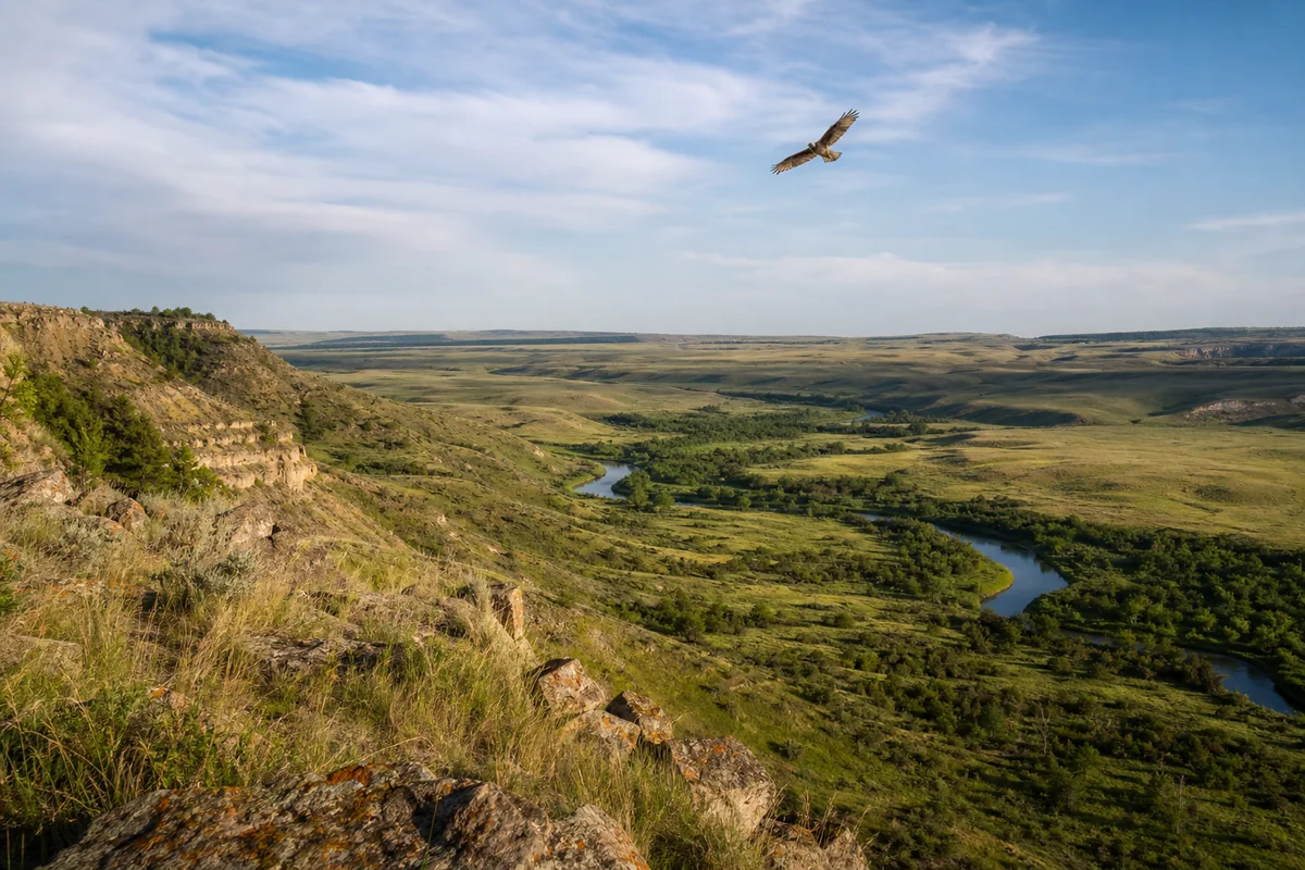
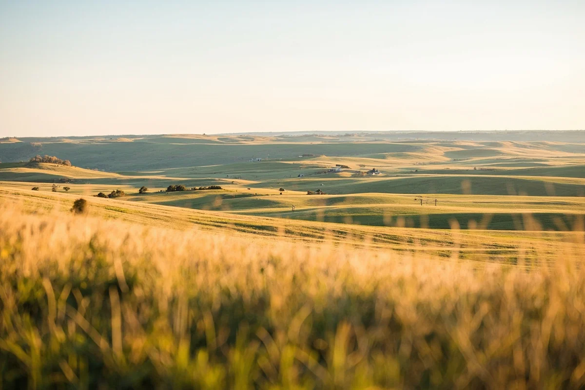
Standing on the rim of the Rosebud Creek valley on a quiet Tuesday morning, with nothing but grassland rolling to the horizon and a hawk cutting lazy circles overhead, it’s hard to believe this corner of Montana exists just a few hours from everything else. Rosebud County doesn’t make the glossy brochures the way Glacier or Yellowstone do — and that’s exactly what makes it worth your attention.
As part of the sprawling collection of 56 Montana Counties, Rosebud sits in the southeastern quarter of the state, a place where coal seams, Native American heritage, and empty prairies collide in ways that most road-trippers never slow down long enough to appreciate.
- Rosebud County covers roughly 5,000 square miles of southeastern Montana prairie, badlands, and river breaks.
- The county seat is Forsyth, a small agricultural town on the Yellowstone River with good services for travelers.
- Key draws include the Rosebud Battlefield State Park, Colstrip’s industrial history, and the Tongue River Reservoir.
- The Northern Cheyenne Indian Reservation and part of the Crow Reservation fall within or border the county — cultural tourism is a real highlight here.
- Best visited May through October; summer heat can be brutal, and winter roads can be treacherous.
- Cell service is spotty across large stretches — download offline maps before you leave the interstate.
Liked this article?
Add Roaming Montana as a preferred source so you see more of our articles and guides on Google.
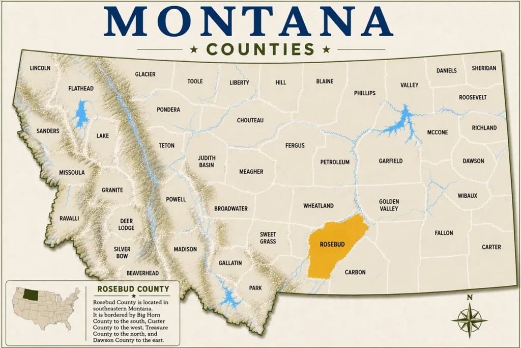
Where Is Rosebud County?
Rosebud County sits in the southeastern quadrant of Montana, bordered by Custer County to the west and Powder River County to the south. It’s roughly 120 miles east of Billings along Interstate 94, making it accessible as a day trip from the city or a natural stopover on a longer cross-state drive.
The county covers approximately 5,012 square miles — larger than the state of Connecticut — yet holds a population of only around 9,000 people. That math tells you something important about what you’re walking into: wide, open, uncrowded, and deeply rural.
The Yellowstone River runs along the northern edge of the county through Forsyth, while the Tongue River cuts south toward Wyoming. These waterways define the county’s geography, its agricultural identity, and its best recreational opportunities.
A Quick History of Rosebud County
The name “Rosebud” comes from the wild roses that bloom along creek banks every June — a detail that feels almost too gentle for a county with such a contested history. This was the heartland of the Northern Cheyenne and Crow nations long before white settlers arrived, and several decisive moments in the Indian Wars of the 1870s took place on this very ground.
The Battle of the Rosebud occurred in June 1876, just eight days before the more famous Battle of the Little Bighorn. General George Crook’s forces were fought to a standstill by Crazy Horse and his warriors — a tactical outcome that significantly shaped what followed downstream. The site is now preserved as Rosebud Battlefield State Park, and it remains one of the least visited but most historically significant battlefields in the American West.
Forsyth was established as a railroad town in the 1880s, and cattle ranching became the county’s economic backbone. In the 20th century, coal mining shifted the balance dramatically, especially around Colstrip, where four massive power plants once dominated the skyline and drew workers from across the region.
Forsyth: The County Seat
Forsyth is a town of around 1,700 people, and it’s where you’ll find the county’s most reliable services: gas, groceries, a handful of motels, and a few local diners. The downtown strip along Main Street is compact but functional — there’s no pretense here, just a working Montana ranching town that happens to sit on the Yellowstone.
The Rosebud County Courthouse is one of the more handsome buildings in the region, a sturdy brick structure that anchors the town square. The county museum, operated by the Rosebud County Pioneer Museum, is worth an hour of your time — the exhibits on early settler life, Northern Cheyenne history, and coal industry development are more comprehensive than you’d expect for a town this size.
One thing that caught me off guard during my visit was how well-maintained the riverside park is. The Yellowstone River trail in Forsyth is a genuine gem — quiet on weekday mornings, with good bird-watching along the cottonwood corridors and decent fishing access if you have a Montana fishing license.
Rosebud Battlefield State Park
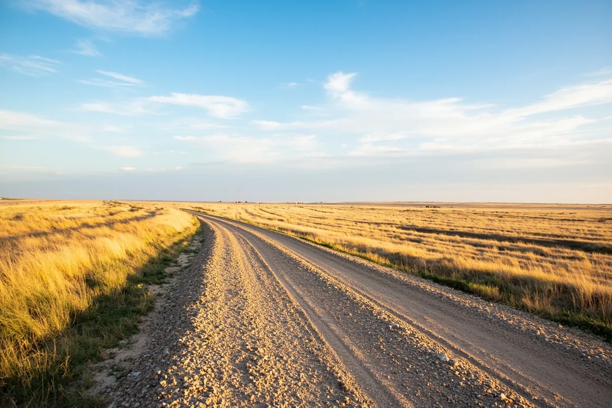
This is arguably the most compelling reason to detour into Rosebud County, and the one most visitors skip entirely. The battlefield sits about 22 miles south of the town of Busby, accessed via a gravel road that can be slick after rain — check conditions before you go, especially in spring.
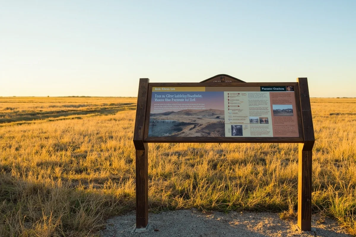
What you’ll find is a remarkably undeveloped historic site. There are interpretive panels, a small parking area, and trails that wind through the actual ground where the 1876 battle unfolded. No gift shop. No crowds. Just grassland, birdsong, and the weight of what happened here.
According to Montana State Parks, the site sees only a fraction of the visitors that the Little Bighorn Battlefield National Monument attracts — which makes it all the more affecting. Standing where Crazy Horse’s warriors outmaneuvered one of the Army’s most experienced commanders is a profoundly different experience when you’re doing it alone, without a tour bus in sight.
The recommended approach is to combine this visit with a stop at the Little Bighorn Battlefield in neighboring Big Horn County, since the two sites together form a coherent historical narrative of that pivotal summer of 1876.
Colstrip: Coal Country and Complex Identity
Colstrip is unlike any other town in Montana. Built almost entirely by the energy industry in the 1970s to house workers at the Westmoreland Coal Company and the four Colstrip Power Plants, the town has a planned, suburban feel that stands in stark contrast to the surrounding ranching landscape.
Two of the four power units have been retired in recent years, and the community is navigating what comes next with a mixture of resilience and uncertainty. For visitors, Colstrip is genuinely interesting as an example of a company town in transition — the broad streets, tidy houses, and community infrastructure all reflect a moment in American industrial history that’s rapidly becoming the past.
The Schoolhouse History and Art Center in Colstrip is the best stop in town. Housed in a renovated 1920s school building, it covers the region’s coal history, Native American culture, and local art with surprising depth. Admission is generally low — typically a suggested donation at time of writing — and the staff are knowledgeable and welcoming.
Tongue River Reservoir State Park
About 6 miles north of Decker, the Tongue River Reservoir offers the county’s best camping and water recreation. The reservoir stretches for miles through the Tongue River Breaks, and the terrain is classic eastern Montana badlands — eroded clay bluffs, sagebrush flats, and the occasional stand of cottonwood.
Fishing here is legitimate. Walleye, smallmouth bass, and yellow perch are the primary targets, and the reservoir is large enough that it doesn’t feel crowded even on summer weekends. According to Montana Fish, Wildlife & Parks, the Tongue River Reservoir covers approximately 12 miles of navigable water, making it one of the more substantial boating destinations in southeastern Montana.
Camping at the state park is primitive by some standards — expect pit toilets and a few basic amenities — but the sites along the water are spacious and the sunsets are extraordinary. Fees were in the range of the standard Montana State Parks camping rate at time of writing; check the FWP website for current pricing before your trip.
Northern Cheyenne Indian Reservation
A significant portion of Rosebud County borders or overlaps with the Northern Cheyenne Indian Reservation, with the tribal capital at Lame Deer sitting within the county boundaries. This is sovereign land with its own governance, rules, and cultural priorities — visitors should approach with respect and genuine curiosity rather than a checklist mentality.
The Northern Cheyenne are one of the few Plains Indian nations to have successfully resisted coal mining on their reservation lands, and that history of environmental and cultural advocacy is something tribal members are rightfully proud of. The tribe’s official website and the Cheyenne Cultural Center in Lame Deer are the best starting points for understanding that story.
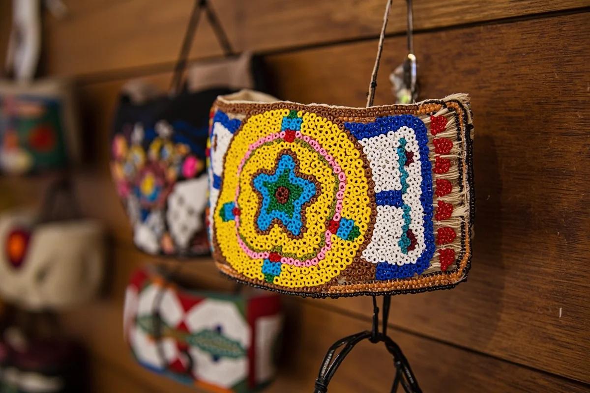
What most visitors miss is that the Northern Cheyenne Powwow, held each July 4th weekend in Lame Deer, is one of the most authentic and accessible powwows in Montana. Visitors are welcome at the public portions of the event, and the dancing, drumming, and community gathering are extraordinary to witness — but read the posted protocols before attending and ask if you’re unsure about photography.
If you’re interested in exploring more of Montana’s reservation communities, the experiences at Blaine County with its Fort Belknap Reservation offer useful context.
Outdoor Recreation Beyond the Obvious
Rosebud County isn’t a hiking destination in the traditional sense — there are no marked trail systems comparable to what you’d find in Carbon County or around Glacier. But the county rewards visitors who are comfortable making their own adventures on public land.
The BLM manages substantial acreage throughout the county, much of it open for dispersed camping, hunting, and exploration. The Rosebud Creek drainage south of Forsyth is particularly scenic in spring and early summer, when the namesake wild roses are actually blooming along the banks.
Hunters should note that Rosebud County has strong populations of pronghorn antelope, mule deer, and white-tailed deer. Pheasant and sharp-tailed grouse hunting can be exceptional in the creek bottoms and grain fields in fall. Non-resident hunting licenses are required; current information is available directly through Montana Fish, Wildlife & Parks.
Suggested Itinerary
Day 1: Forsyth and the Yellowstone
Arrive in Forsyth by mid-morning and check into one of the motels along the frontage road — expect to pay in the range of a standard budget motel rate, typically somewhere between $80–$130 per night depending on season. Start with coffee and breakfast at a local diner on Main Street, then walk the Yellowstone River trail before the afternoon heat kicks in.
Spend the late morning at the Rosebud County Pioneer Museum, then drive south to explore the Rosebud Creek valley in the afternoon. The drive on Highway 39 south toward Colstrip is one of the more scenic highway stretches in this part of the state, passing through rolling grasslands and ranch land that feel genuinely unchanged.
End the day at the Tongue River Reservoir if you’re camping, or back in Forsyth for dinner.
Day 2: Battlefield and Colstrip
Start early for the drive to Rosebud Battlefield State Park — the gravel road is easier in the cool of the morning, and you want the site to yourself if possible. Plan on at least 90 minutes here; the interpretive trail covers the key positions of both forces and the terrain itself is the exhibit.
From the battlefield, drive north to Colstrip for lunch and a visit to the Schoolhouse History and Art Center. The contrast between the battlefield and this planned industrial town makes for a surprisingly thought-provoking afternoon.
If you want to extend the trip, consider continuing west toward Billings, or loop south toward the Northern Cheyenne Reservation and Lame Deer for cultural context before heading home.
What Most Visitors Get Wrong About Rosebud County
The biggest mistake is treating the county as a pass-through rather than a destination. Most people blast down I-94, see the exit for Forsyth, and keep going toward Miles City or Billings. They’re missing the battlefield, the reservoir, the powwow, and a genuinely different side of Montana.
The second mistake is underestimating the distances. What looks like a short drive on a map can take significantly longer on gravel roads. The Rosebud Battlefield access road, for example, is 22 miles of gravel that takes around 35–40 minutes each way — plan accordingly, and carry water.
Third, don’t arrive in July or August without being prepared for heat. Temperatures in the mid-90s to over 100°F are not unusual in this part of Montana during summer. Starting outdoor activities by 7 a.m. and retreating to shade or a vehicle by noon is not an overcaution — it’s how locals operate.
Finally, the cell service situation is real. On my last visit, I lost signal entirely for about 45 miles south of Forsyth on Highway 39. Download Google Maps offline data for the Forsyth and Lame Deer area before you leave the interstate.
Where to Stay in Rosebud County
Forsyth has the county’s most reliable lodging, with a small selection of national budget chain motels and a few independent options. Expect rates to be reasonable by Montana standards — generally lower than what you’d pay in Billings or Bozeman.
Colstrip has limited accommodation, mostly oriented toward workers and contractors. Options are functional rather than characterful.
Camping at Tongue River Reservoir State Park is the best option if you have the gear. The sites are first-come, first-served for most of the season; check the Montana State Parks reservation system for any bookable sites before your trip.
For those who want a more immersive experience, several working ranches in the county offer guest accommodation during certain seasons. These aren’t widely marketed — asking locally in Forsyth or checking with the Rosebud County Tourism office is the best approach.
Practical Information for Visitors
| Detail | Information |
|---|---|
| County Seat | Forsyth, MT |
| Distance from Billings | Approximately 120 miles east via I-94 |
| Distance from Miles City | Approximately 45 miles west via I-94 |
| Best Travel Months | May, June, September, October |
| Key Attractions | Rosebud Battlefield, Tongue River Reservoir, Colstrip, Lame Deer |
| Cell Service | Reliable in Forsyth; limited to none in rural areas |
| Nearest Airport | Billings Logan International (BIL), ~120 miles |
| Emergency Services | Rosebud Healthcare in Forsyth; limited elsewhere |
| Fuel Availability | Forsyth, Colstrip, Lame Deer — limited elsewhere |
Getting There and Getting Around
Interstate 94 is the main artery, and Forsyth has a marked exit with good signage. From Billings, the drive is straightforward — flat, fast, and increasingly beautiful as the badlands topography begins to emerge east of the city.
A rental car or personal vehicle is absolutely essential. There is no public transit in Rosebud County, and distances between points of interest make walking or cycling impractical for most visitors. A high-clearance vehicle is helpful but not strictly necessary for the main routes; the Rosebud Battlefield access road is manageable in a standard sedan during dry conditions but genuinely difficult after rain.
If you’re combining Rosebud County with a broader southeastern Montana road trip, the logical circuit connects Forsyth west to Custer County and Miles City, south to the Northern Cheyenne Reservation, and back via Highway 212 through Carter County toward Ekalaka — a loop that takes two to three days and covers some of the most underrated terrain in the entire state.
Rosebud County in Context: Eastern Montana’s Bigger Picture
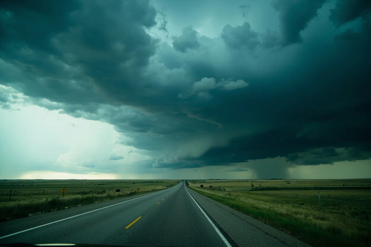
Southeastern Montana as a region is often compared unfavorably to the state’s more dramatic western landscapes — and that comparison misses the point entirely. The appeal here is different: it’s the scale, the solitude, the sense that you’re seeing something most Americans have never encountered and never will.
For context on how this part of the state is changing, it’s worth reading about Montana’s fastest growing cities and counties — Rosebud is notably not on that list, which tells its own story about what kind of experience you’re signing up for.
Counties like Dawson County to the north and Fallon County to the east share Rosebud’s character: agricultural, sparse, historically layered, and genuinely welcoming to visitors who come with curiosity rather than expectations. Together they form a part of Montana that deserves a place on the itinerary of anyone serious about understanding the state.
Final Thoughts
Rosebud County won’t give you the Instagram moment you might find at Glacier or the adrenaline hit of a Gallatin Canyon whitewater run. What it offers instead is something rarer: the chance to stand on ground where American history turned, to watch a sunrise over prairie that looks essentially as it did two hundred years ago, and to have an experience that belongs entirely to you because almost no one else showed up.
The battlefield alone justifies the detour. But the reservoir, the powwow, the drive through Colstrip, the river trail in Forsyth — these all add up to a place that rewards the kind of traveler who slows down and looks carefully.
Come with a full tank of gas, downloaded maps, and no particular rush. Rosebud County will deliver.
How We Researched This Guide
This guide is based on multiple visits to Rosebud County across different seasons, including late spring and early fall trips that allowed for direct comparison of conditions, crowds, and access.
Key attractions were explored firsthand, including the Rosebud Battlefield access road, the Tongue River Reservoir, and Forsyth’s downtown and riverside trail.
Information was verified with Montana State Parks, Montana Fish, Wildlife & Parks, and the Northern Cheyenne Tribe’s publicly available cultural resources. Local business owners and a Forsyth-based outfitter also contributed practical detail that isn’t easily found in published sources.
Frequently Asked Questions
What is the best time of year to visit Rosebud County, Montana?
The best time to visit Rosebud County is late spring through early fall, with June through August offering warm temperatures ideal for exploring the Northern Cheyenne and Crow lands, fishing the Yellowstone River, and visiting the Rosebud Battlefield State Park. September is a hidden gem for travel here, with cooler temps, fewer crowds, and stunning high-plains scenery. Winters can be harsh with subzero temperatures and heavy snowfall, so plan accordingly if visiting between November and March.
What are the top things to do in Rosebud County, Montana?
Rosebud County is rich in Native American history and frontier heritage, making the Rosebud Battlefield State Park — site of the 1876 Battle of the Rosebud — one of the most compelling stops for history lovers. The Yellowstone River corridor offers excellent fishing, wildlife watching, and floating opportunities, while the town of Forsyth serves as a charming base with local museums and the historic Rosebud County Courthouse. Outdoor enthusiasts also enjoy hiking and exploring the rugged badlands terrain that defines this corner of eastern Montana.
How far is Rosebud County, Montana from Billings?
Rosebud County is approximately 90 to 110 miles east of Billings, Montana, depending on your destination within the county, making it roughly a 1.5 to 2-hour drive via Interstate 94. Forsyth, the county seat, sits about 95 miles east of Billings and is a straightforward drive along a well-maintained interstate highway. This makes Rosebud County an easy day trip or weekend getaway from Billings for travelers already exploring eastern Montana.
What should I budget for a trip to Rosebud County, Montana?
Rosebud County is one of Montana’s more budget-friendly destinations, with motel rooms in Forsyth typically running $80 to $130 per night and local diners offering hearty meals for under $20. There are no major admission fees for most outdoor sites, though Rosebud Battlefield State Park charges a small Montana State Parks fee of around $8 for non-residents. Fuel costs are worth factoring in since services are spread out across this large, rural county, so topping off your tank in Forsyth before exploring is always a smart move.
Is Rosebud County, Montana worth visiting for Native American history?
Absolutely — Rosebud County sits in the heart of historically significant Native American territory and is adjacent to both the Northern Cheyenne Indian Reservation and the Crow Indian Reservation, making it one of the most culturally layered regions in eastern Montana. The Rosebud Battlefield State Park commemorates the 1876 battle fought just days before the famous Battle of the Little Bighorn, offering a powerful and often overlooked piece of American history. Travelers interested in Indigenous culture should also explore nearby reservation communities and consider timed visits around cultural events or powwows for a richer experience.
What should I pack for a road trip through Rosebud County, Montana?
Pack for wide-open, semi-arid high-plains conditions — sunscreen, a wide-brim hat, and plenty of water are essentials since services can be sparse between towns in this rural county. If you’re visiting in summer, lightweight layers work well as mornings and evenings can still be cool even when afternoons top 90°F. A detailed road atlas or downloaded offline maps are highly recommended since cell service can be unreliable in the more remote stretches of Rosebud County.
Are there good camping options in Rosebud County, Montana?
Yes, Rosebud County offers several solid camping options, including campgrounds along the Yellowstone River near Forsyth with basic amenities like water and restrooms for roughly $15 to $25 per night. The area is also popular with dispersed camping on Bureau of Land Management (BLM) land, which is free for up to 14 days if you follow Leave No Trace principles. I’d recommend calling ahead or checking the Montana FWP and BLM websites before your trip since facilities in this remote region can have seasonal closures or limited availability.