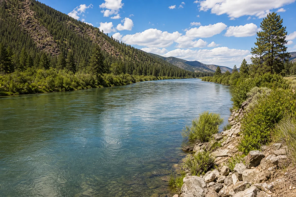
Pulling off I-90 at the little town of Superior felt like stepping into a Montana that most people only see through a car window at 75 miles per hour. What surprised me most was how quickly the Clark Fork River appeared — wide, jade-green, and completely empty of other people, even on a Saturday in July. Mineral County is one of those rare corners of the 56 Montana Counties that rewards the traveler willing to slow down and actually stop.
- Mineral County sits in the far northwest corner of Montana along I-90, making it an accessible but undervisited destination
- The Clark Fork River is the centerpiece — excellent for fishing, rafting, and wildlife watching
- Superior is the county seat and the main hub for services, fuel, and food
- St. Regis and Saltese are worth a stop for history and local character
- Lolo National Forest covers most of the county and offers outstanding hiking and dispersed camping
- Best visited late May through September — winters are snowy and some roads close seasonally
- This is a genuine off-the-beaten-path destination, not a polished tourist circuit — plan accordingly
Liked this article?
Add Roaming Montana as a preferred source so you see more of our articles and guides on Google.
What Makes Mineral County Worth Your Time
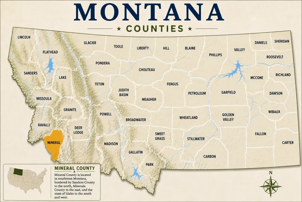
Mineral County covers roughly 1,223 square miles in the far northwestern corner of Montana, tucked between the Cabinet Mountains to the north and the Bitterroot Range to the south. The Lolo National Forest dominates the landscape, and the Clark Fork River threads through the heart of it all.
What sets this county apart from more heavily marketed Montana destinations — like nearby Flathead County or even Gallatin County — is the near-total absence of crowds. The infrastructure here is modest, the towns are small, and the land itself is very much in charge.
For travelers who want to experience Montana’s wild northwest without fighting for a campsite or waiting in line at a trailhead, Mineral County delivers in ways that more famous destinations simply can’t.
Geography and Getting There
Interstate 90 runs directly through Mineral County east to west, which is both its greatest gift and its biggest curse. Thousands of travelers pass through every single day without stopping. The highway follows the Clark Fork River corridor, offering glimpses of spectacular scenery at speed — but the actual experience only begins when you exit.
The county seat of Superior sits at roughly 2,730 feet in elevation. The surrounding peaks climb significantly higher, with many summits in the Cabinet and Bitterroot ranges topping out above 7,000 feet. That elevation range means the county experiences genuine four-season weather.
Driving distances matter here. Missoula is about 55 miles to the southeast, making it a practical base for day trips. Spokane, Washington is roughly 120 miles to the west. There are no commercial airports in Mineral County — Missoula Montana Airport is the closest option for fly-in visitors.
The Towns of Mineral County
Superior
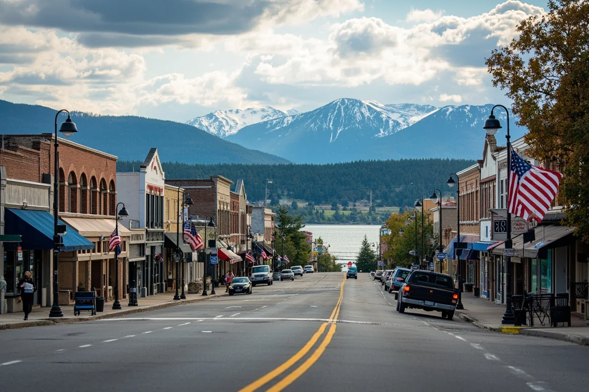
Superior is small — fewer than 900 residents at the last census — but it punches above its weight as a functional traveler hub. You’ll find gas stations, a handful of restaurants, a grocery store, and basic motels here. The town sits right on the Clark Fork and the river access points are genuinely excellent.
One thing that caught me off guard during my first visit was how friendly and unhurried everything felt. The gas station attendant spent ten minutes drawing me a hand-sketched map to a fishing access point that wasn’t marked on Google Maps. That kind of local generosity is baked into the culture here.
The Mineral County Museum in Superior is a low-key gem. It covers the region’s mining history, early homesteader life, and the railroad’s role in developing the area. Admission is typically free or asks a small donation — the kind of place that takes an hour and leaves you with a dozen new questions.
St. Regis
St. Regis sits at the western edge of the county where the St. Regis River meets the Clark Fork. It’s smaller than Superior but well-positioned as a fuel and food stop. The town has a genuine roadside Americana quality to it — older motels, a diner or two, and the kind of character that chain-heavy highway towns have long since lost.
The St. Regis River itself is popular with local anglers and sees far less pressure than the Clark Fork. Fly fishers willing to explore the smaller tributary streams here can find surprisingly productive water.
Saltese
Saltese is the kind of Montana town that makes you slow down involuntarily. Located near the Idaho border in the upper reaches of the county, it has a handful of historic buildings, a bar that has apparently been serving locals for over a century, and an atmosphere that feels genuinely unchanged by time.
The drive east from Saltese toward Superior along the Clark Fork is one of the most scenic stretches of I-90 in the entire state. Most people are too busy glancing at their GPS to notice.
Haugan
Haugan is tiny but it gets mentioned on every Mineral County list because of the 50,000 Silver Dollar Bar and Restaurant — a classic Montana roadside institution.
The silver dollar collection embedded in the bar is exactly as eccentric as it sounds, and the food is solid, unpretentious Montana fare. It’s become something of a pilgrimage stop for I-90 road-trippers, and for good reason.
Outdoor Recreation: The Real Reason to Visit
The Clark Fork River
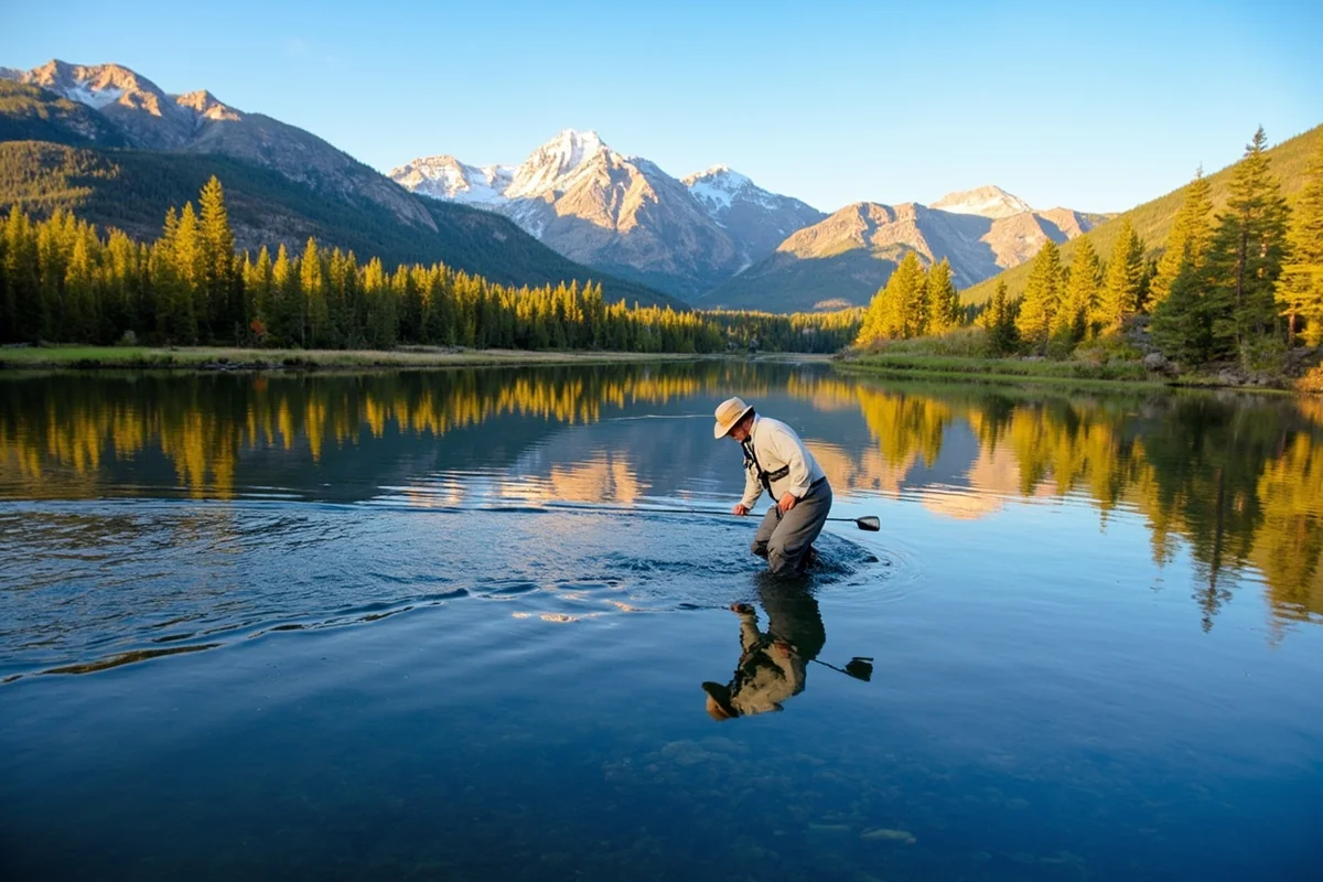
The Clark Fork is the defining natural feature of Mineral County and one of Montana’s most underrated rivers. According to Montana Fish, Wildlife & Parks, the Clark Fork supports populations of native westslope cutthroat trout and bull trout — a designation that speaks to the river’s exceptional water quality and ecological health.
Fishing access sites are scattered throughout the county. During my last visit in early June, the river was running high and green with snowmelt, which pushed the better dry-fly fishing into July. Local outfitters in Superior can advise on current conditions and guide options if you don’t want to figure the river out alone.
Whitewater kayaking and rafting are also popular. The Clark Fork has stretches of Class II–III whitewater that are excellent for intermediate paddlers. The section near Alberton Gorge — just east of the county in Missoula County — is one of the more well-known stretches and is worth including if you’re here for the whitewater.
Hiking in Lolo National Forest
Lolo National Forest covers the overwhelming majority of Mineral County’s landmass, which translates to an enormous amount of trail access. The Lolo National Forest Supervisor’s Office, based in Missoula, maintains detailed trail information and current condition reports that are far more reliable than third-party apps.
A few standout areas worth targeting:
- St. Regis Lakes Trail: A moderate out-and-back that leads to a pair of alpine lakes with excellent views and reliable wildlife sightings in early morning
- Cube Iron-Silcox Area: Remote terrain in the northern reaches of the county with low foot traffic and genuine wilderness character
- Burdette Creek Trail: A good entry-level hike that follows a small creek into mature forest — excellent for families and first-time visitors to the area
- Lightning Peak Area: Rewards experienced hikers willing to navigate unmaintained terrain with sweeping views across the Cabinet Mountains
One mistake worth flagging: many visitors assume that because these trails are in a national forest rather than a national park, they’re somehow less wild or less serious.
The opposite is true. Cell service disappears quickly, trail markers can be minimal, and weather can shift fast. Carry navigation tools beyond your phone.
Dispersed Camping
One of Mineral County’s most underappreciated features is the dispersed camping available throughout Lolo National Forest.
Unlike developed campgrounds that require reservations and fill up weeks in advance, dispersed camping here allows you to pull off a forest road, find a suitable site near a creek, and spend the night with no fee and no neighbors.
The standard national forest dispersed camping rules apply — generally staying at least 200 feet from water, leaving no trace, and moving camp every 14 days. The Lolo National Forest website has current fire restrictions and closure information that should always be checked before heading out.
What most guides skip is the seasonal access reality: many of the forest roads that lead to the best dispersed sites aren’t reliably passable until mid-June, and some require high-clearance or four-wheel-drive vehicles even in summer.
A quick call to the Plains/Thompson Falls or Superior Ranger Districts before your trip can save a long, muddy turnaround.
Wildlife Watching
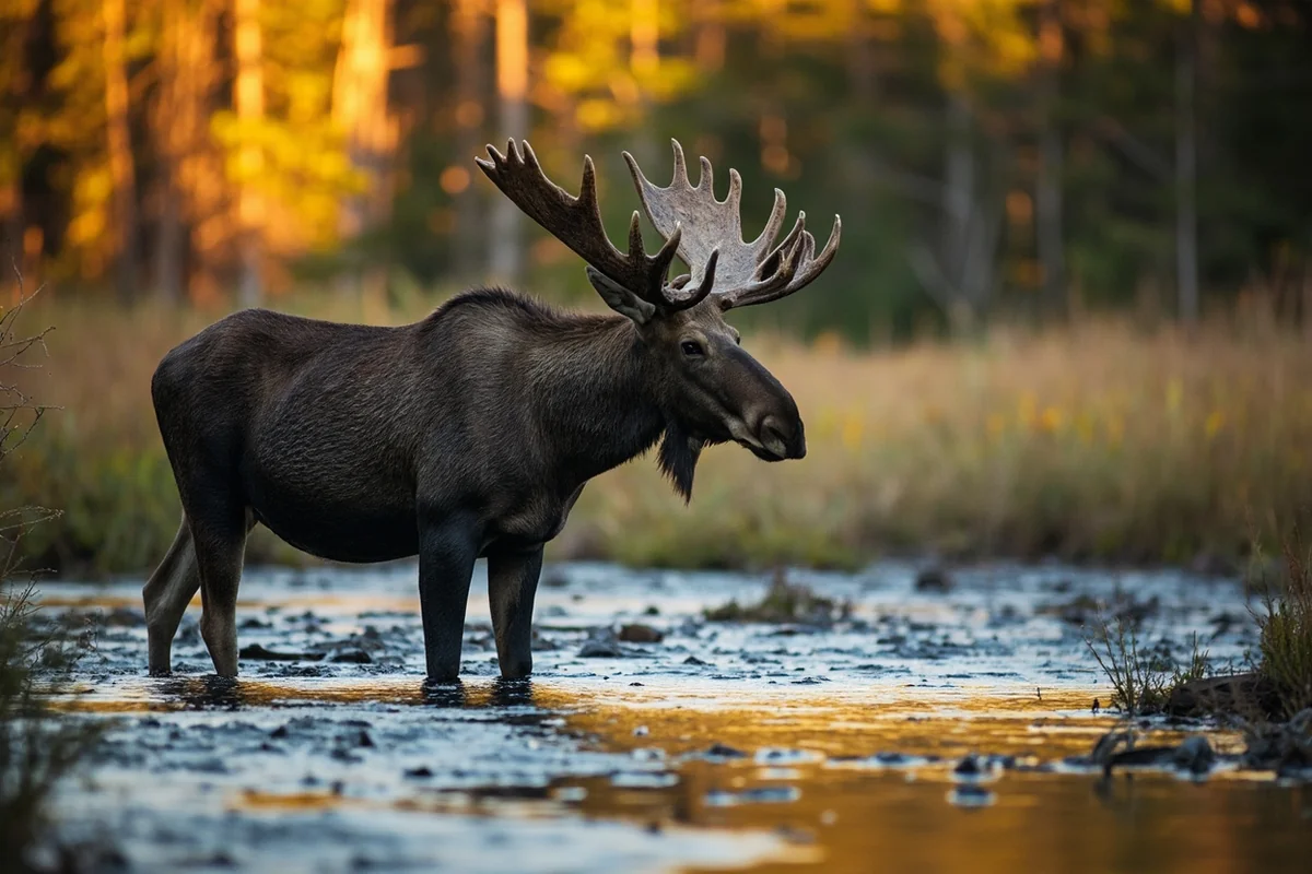
The combination of river habitat, dense forest, and minimal human pressure makes Mineral County genuinely excellent for wildlife. Moose are regularly spotted along the Clark Fork bottomlands and tributary streams, particularly in the early morning and evening.
White-tailed deer are abundant throughout. Black bears are common in the forest, and grizzly bear presence — while not as established here as in the Northern Continental Divide Ecosystem to the north — is not impossible in the more remote northern areas near the Cabinet Mountains.
Bald eagles are a near-certainty along the Clark Fork from fall through early spring. Ospreys nest along the river through summer. During one late September visit, a mature bald eagle was perched on a snag directly over a fishing access pullout — less than thirty feet from the car — completely unbothered.
History and Culture
Mining Heritage
The county’s name is not accidental. Mineral County was carved out of Missoula County in 1914, largely because of the mining activity in the area. The region saw silver, gold, and lead extraction during the late 1800s and early 1900s, and the landscape still bears evidence of that era.
Several old mine sites exist in the county, some accessible on public land. The Mineral County Museum in Superior is the best starting point for understanding this history in proper context — it provides detail that you simply won’t find in a general Montana history book.
Railroad History
The Northern Pacific Railway followed the Clark Fork corridor through this region in the 1880s, and the towns of Mineral County were essentially railroad towns at their founding. St. Regis, Superior, and Saltese all grew up in service of the rail line.
The railroad’s legacy is still physically present — tracks still run through the county, and the rail corridor shaped the layout of every town here.
The Mullan Road
One piece of history that doesn’t get enough attention in mainstream travel writing is the Mullan Road. Built between 1859 and 1862 by the U.S. Army Corps of Engineers under Lieutenant John Mullan, this was the first improved road connecting the Missouri River to the Columbia River drainage.
It passed directly through what is now Mineral County. Historical markers along the I-90 corridor reference the road, and the route is an important piece of American westward expansion history.
Suggested Itinerary
Day 1: Arrival, the River, and Superior
Arrive in Superior via I-90 and check into one of the local motels — nothing fancy, but clean and functional. Rates generally range from modest to mid-range depending on the season. After settling in, walk down to the Clark Fork River access points in town.
Even just standing on the bank for twenty minutes recalibrates your sense of what Montana actually feels like.
In the afternoon, drive west on I-90 to the 50,000 Silver Dollar at Haugan — it’s roughly 30 miles and worth the detour. Head back to Superior for dinner, and if the evening is clear, the sunset over the river valley from the hill above town is memorable.
Day 2: Forest Roads and Alpine Lakes
Start early — the St. Regis Lakes trailhead parking fills up faster than you’d expect on summer weekends, and the morning light in the forest is exceptional. Pack lunch; the hike to the upper lake and back is a solid half-day.
In the afternoon, drive the forest roads north of Superior toward the Cube Iron area if your vehicle can handle moderate dirt roads. Even if you don’t push deep into the backcountry, the drive itself — through old-growth larch and fir with occasional river glimpses — is outstanding.
Stop at any gravel bar along a tributary creek you find appealing. That spontaneity is half the point of Mineral County.
End the evening in St. Regis. Have dinner at whichever diner looks most promising and walk the river at dusk.
Practical Information
| Detail | Information |
|---|---|
| County Seat | Superior, Montana |
| Population | Approximately 4,000 (county-wide) |
| Nearest Major City | Missoula (~55 miles southeast) |
| Primary Highway | Interstate 90 |
| Best Travel Months | Late May through September |
| Cell Service | Reliable in towns, minimal or none in forest areas |
| National Forest | Lolo National Forest (most of the county) |
| Fishing License | Required — available at local sporting goods retailers or online via Montana FWP |
| Nearest Hospital | Community Medical Center, Missoula |
| Gas Availability | Superior, St. Regis, and Haugan |
When to Go
Late June through early September is the sweet spot for most visitors. Trails are generally snow-free, the Clark Fork settles into fishable levels by mid-July, and daytime temperatures in the valley are comfortable — typically ranging from the mid-60s to mid-80s Fahrenheit.
Fall is arguably the most beautiful season here. The larch trees in Lolo National Forest turn gold in late September and October, creating a display that rivals anything in the traditional “leaf peeping” destinations on the East Coast.
Visitor numbers drop sharply after Labor Day, which makes fall an exceptional time for anglers, hikers, and anyone who values solitude.
Winter closes many forest roads and the passes can be serious business. Visitors coming in winter should have appropriate tires, carry chains, and check road conditions through Montana Department of Transportation before traveling.
Where to Stay
Accommodation in Mineral County is functional rather than luxurious. Superior and St. Regis both have independent motels that typically run in a moderate price range — expect to pay roughly $80–$140 per night depending on season, though rates fluctuate and should be verified directly with the property.
For a different experience, dispersed camping in Lolo National Forest costs nothing and puts you directly in the landscape. There are also a few developed Forest Service campgrounds in and around the county — check the Recreation.gov platform and the Lolo National Forest website for current availability and any reservation requirements.
Dining
Don’t arrive expecting a restaurant scene. Mineral County’s food options are limited but characterful. The 50,000 Silver Dollar in Haugan is the most well-known option. Superior has a small number of local restaurants and a diner-style option that covers basics well. St. Regis has similar options.
If you’re planning multi-day backcountry time, stock up on supplies in Missoula before heading west. The grocery options in Mineral County are limited in selection, and specialty food items simply aren’t available.
What Most Visitors Get Wrong
The biggest mistake is treating Mineral County as a drive-through between Missoula and Idaho. This is a county that reveals itself slowly, to people who stop and pay attention. Driving through at highway speed gives you approximately five percent of what’s actually here.
The second most common mistake is underestimating the weather. Even in July, afternoon thunderstorms are common in the mountains, and temperatures can drop sharply above 5,000 feet.
What starts as a warm, blue-sky morning in Superior can turn cold and wet within two hours at the trailhead. Layers and rain gear are not optional.
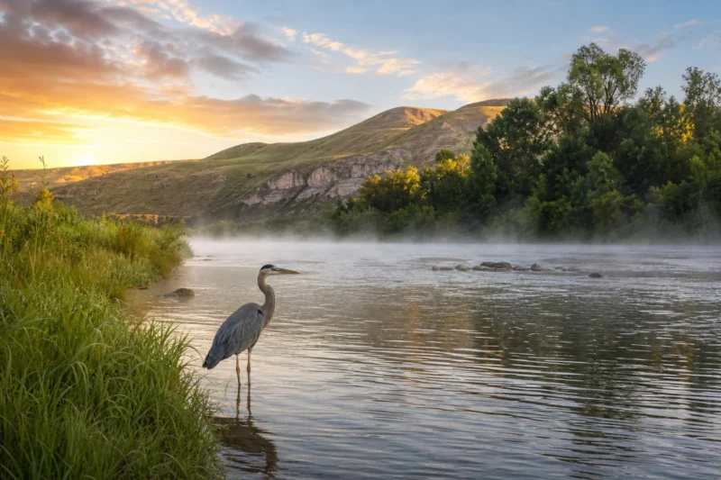
A subtler mistake: assuming that because this isn’t Glacier or Yellowstone, the wildlife encounters will be less remarkable. On a single afternoon last August, the riverbank near a fishing access site in Superior produced sightings of a river otter, a great blue heron, an osprey, and a bull moose moving through the willows — all within about ninety minutes. No park entrance fee required.
For travelers interested in exploring more of Montana’s diverse county landscapes, it’s worth knowing that Mineral County’s character is quite different from the open plains and ranch country found in places like Carter County or Custer County, or the agricultural expanses of Blaine County. Montana’s regional variety is one of its most underappreciated qualities.
Connecting Mineral County to Broader Montana Travel
Mineral County works exceptionally well as part of a larger northwestern Montana road trip. Pairing it with neighboring Flathead County — which includes Glacier National Park and Flathead Lake — creates a trip that covers both the wild northwest and one of Montana’s signature landmark destinations.
Heading south from Missoula after your Mineral County visit opens up options ranging from the Bitterroot Valley into Beaverhead County in the far south, or east toward Broadwater County and the Missouri River canyon. The range of experiences across this state rewards trip planning that thinks in terms of regions rather than single stops.
For those curious about which parts of Montana are growing fastest and drawing new residents, the patterns detailed in Montana’s fastest-growing cities and counties make for interesting context — Mineral County is notably absent from that list, which is precisely part of its appeal.
Travelers who enjoy the history dimension of Mineral County might also appreciate the mining heritage and small-town character found in Deer Lodge County, or the wide-open agricultural history of Cascade County further east.
Final Thoughts
Mineral County is the kind of place that changes how you think about Montana road trips. It proves that the best experiences here aren’t always the famous ones — sometimes they’re the exits you almost didn’t take, the rivers you almost drove past, the county museums you almost skipped because you were in a hurry to get somewhere bigger.
What stays with me from every visit is the quality of the silence. Not the absence of sound — the river is never quiet — but the absence of the noise that follows crowds. The fishing access sites here feel like they belong to you. The forest roads feel genuinely exploratory. That’s increasingly rare in this state, and it won’t last forever.
If you’re planning a Montana trip and you’re the kind of traveler who reads this far into a county guide, Mineral County is for you. Put it on the itinerary, book two nights minimum, and leave room for the unexpected turns. That’s where the best parts of this county live.
How We Researched This Guide
This guide is based on multiple visits to Mineral County across different seasons, including summer fishing trips, a fall larch-viewing visit, and an early June scouting trip during spring runoff.
Key attractions, road conditions, and local services were verified firsthand during these visits, supplemented by conversations with local business owners in Superior and St. Regis and with a ranger at the Lolo National Forest Superior Ranger District.
Fishing information was cross-checked with Montana Fish, Wildlife & Parks official resources, and road and trail condition information was verified with the Montana Department of Transportation and the Lolo National Forest Supervisor’s Office.
Frequently Asked Questions
What is the best time of year to visit Mineral County, Montana?
The best time to visit Mineral County is late June through early September, when mountain roads are open, wildflowers are blooming, and the Clark Fork River is ideal for fishing and rafting. Fall is also stunning for foliage and elk hunting, typically running from mid-September through October. If you’re planning a winter trip, expect heavy snowfall and limited road access, but the backcountry skiing and snowmobiling can be spectacular.
What are the top things to do in Mineral County, Montana?
Mineral County is best known for outdoor adventures including fishing and whitewater rafting on the Clark Fork River, hiking in the Lolo National Forest, and exploring the historic mining town of Superior, the county seat. The area around St. Regis offers excellent wildlife watching, and the Cabinet Mountains Wilderness on the county’s western edge is a bucket-list destination for serious hikers and backpackers. Rockhounding for garnets and other minerals is also a uniquely popular activity that lives up to the county’s name.
How far is Mineral County, Montana from Missoula?
Mineral County sits roughly 50 to 90 miles west of Missoula along Interstate 90, making it an easy day trip or weekend getaway from the city. The drive to Superior, the county seat, takes about 55 miles and roughly 50 minutes under normal conditions. If you’re flying in, Missoula Montana Airport (MSO) is your closest major airport and a practical base before heading west into the county.
Is Mineral County, Montana good for fishing, and do I need a license?
Yes, Mineral County offers outstanding fishing, particularly on the Clark Fork River and its tributaries, where you can target brown trout, rainbow trout, and mountain whitefish. You will need a valid Montana fishing license, which non-residents can purchase online through Montana Fish, Wildlife & Parks — a non-resident season license runs around $111, while a 2-day license is approximately $25. Always check current regulations, as some stretches of the Clark Fork have catch-and-release restrictions to protect native fish populations.
What should I pack for a trip to Mineral County, Montana?
Pack in layers regardless of the season, since mountain weather in Mineral County can shift quickly from warm sunshine to cold rain within the same afternoon. Essential items include sturdy waterproof hiking boots, a rain jacket, sun protection, insect repellent for summer visits, and a bear spray canister if you plan to hike deep into the Lolo National Forest or Cabinet Mountains. If you’re camping, bring a water filter since backcountry water sources require treatment, and always carry a paper map because cell service is unreliable throughout much of the county.
Are there good campgrounds in Mineral County, Montana, and what do they cost?
Mineral County has several solid campground options managed by the US Forest Service, including Cascade Campground and Trout Creek Campground along the Clark Fork corridor, with nightly fees typically ranging from $15 to $25. Reservations can be made through Recreation.gov, and it’s strongly recommended you book at least two to three weeks ahead for summer weekends. Dispersed camping is also permitted in much of the Lolo National Forest for free, as long as you follow Leave No Trace guidelines and stay outside of designated recreation areas.
Is Mineral County, Montana safe for first-time visitors unfamiliar with wilderness travel?
Mineral County is welcoming for first-time visitors as long as you respect the mountain environment and plan ahead — the terrain ranges from accessible river valleys to remote alpine wilderness, so your experience level should match your chosen activities. For beginners, sticking to well-marked trails near Superior or day hikes along the Clark Fork is a great starting point before venturing into the backcountry. Always let someone know your itinerary, check weather forecasts before heading out, and note that the nearest major hospital is in Missoula, roughly an hour’s drive east.