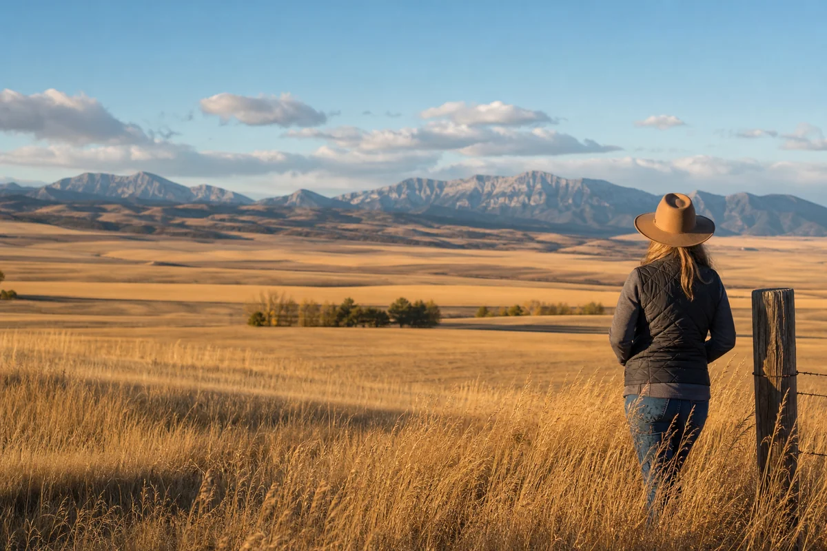
Standing at the edge of the Judith Gap on a windy October morning, watching golden wheat fields stretch in every direction until they blurred into the foothills of the Little Belt Mountains, what struck me most wasn’t the scenery — it was the silence.
Wheatland County is one of those rare corners of Montana’s 56 counties that hasn’t yet been discovered by the Instagram crowd, and frankly, that’s exactly what makes it worth your time.
- Wheatland County is a quiet, agricultural county in central Montana — small population, big landscapes, and almost zero tourist crowds
- Harlowton is the county seat and main hub — it has genuine small-town character, a historic downtown, and access to the Musselshell River
- Best visited in late spring or early fall when weather is mild and the landscape is dramatic
- Key draws include the Judith Gap wind farms, Musselshell River fishing and kayaking, the Ott Museum, and wide-open scenic drives
- Wheatland County is ideal for travellers who want to experience authentic Montana without the crowds of Glacier or Yellowstone
- Plan to be self-sufficient — services are limited, fuel up before arriving, and book accommodation well in advance
Liked this article?
Add Roaming Montana as a preferred source so you see more of our articles and guides on Google.
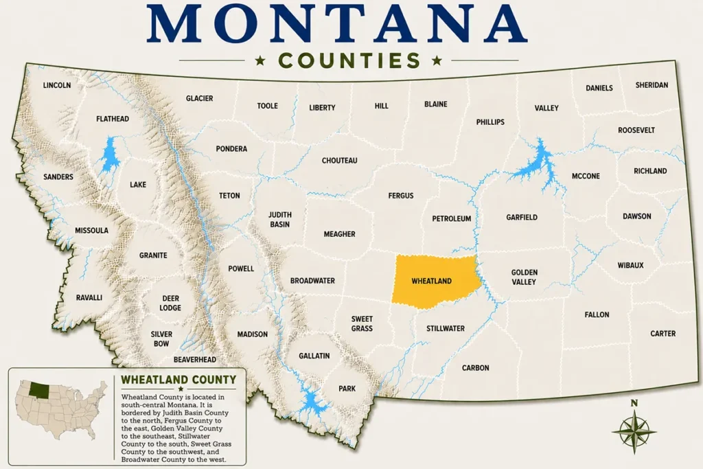
Where Exactly Is Wheatland County?
Wheatland County sits in the heart of central Montana, roughly halfway between Billings and Great Falls along US Highway 12. It covers just over 1,400 square miles, making it one of Montana’s smaller counties by area — but what it lacks in size, it more than makes up for in character.
The county seat is Harlowton, a town of around 900 people that functions as the commercial and cultural centre of the county. The Musselshell River runs through the county, carving a quiet valley that provides the visual anchor for the whole region.
Compared to the drama of Gallatin County or the wide-open eastern plains of Custer County, Wheatland County occupies a compelling middle ground — transitional terrain where the Rocky Mountain foothills begin to flatten into the high plains.
A Brief History of Wheatland County
Wheatland County was created in 1917, carved out of Meagher and Sweet Grass counties during Montana’s homesteading era. The name is straightforward and honest — this is wheat country, always has been.
The county’s early growth was tied directly to the Chicago, Milwaukee, St. Paul and Pacific Railroad, better known as the Milwaukee Road. Harlowton served as a major division point on the railroad, and at one point it was home to the largest electric locomotive repair facility in the world — a fact that genuinely surprises most visitors.
When the Milwaukee Road began pulling back operations in the 1970s and eventually abandoned its transcontinental line in 1980, Wheatland County felt the blow hard. The population has been gradually declining since, but the community has held together with remarkable resilience.
Harlowton: The Heart of Wheatland County
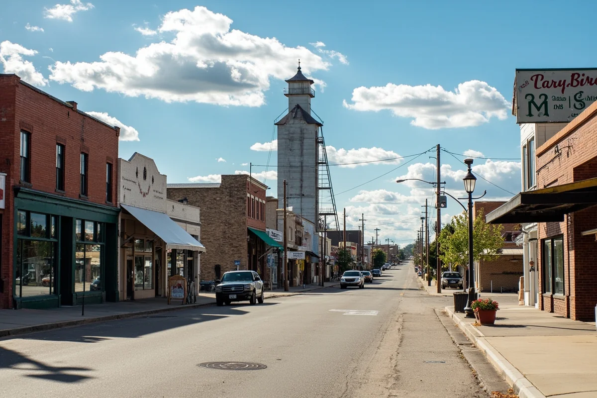
Harlowton is the kind of town you almost drive through without stopping — and that would be a genuine mistake. The downtown has a weathered, working-class dignity to it that feels completely authentic, nothing curated or tourist-polished about it.
The most striking feature of Harlowton’s skyline is its grain elevator, which dominates the view from US-12 and serves as a reminder that agriculture isn’t just a backdrop here — it’s the entire economy.
The Ott Museum
One of the best small-town museums in central Montana, the Ott Museum tells the story of Wheatland County through a well-curated collection of homesteading artifacts, railroad memorabilia, and Indigenous history. What impressed me on my visit was the depth of the Milwaukee Road collection — old photographs, engine components, and detailed maps of the original rail line that you simply won’t find anywhere else.
The museum is run by volunteers, which means hours can be inconsistent, especially outside of summer. Call ahead before making it a centrepiece of your plans. Admission is typically a small donation, generally just a few dollars.
The Chief Joseph Park and Overlook
Perched above Harlowton, Chief Joseph Park offers a sweeping view of the Musselshell River valley below. It’s a short walk from the main parking area to the overlook, and the view at golden hour is genuinely spectacular.
The park also has a small playground and picnic area — perfectly placed for a lunch stop if you’re driving through on US-12. What most visitors miss is the historic marker at the trailhead explaining the Nez Perce flight of 1877, which passed through this region.
The Upper Musselshell Historical Society
Separate from the Ott Museum, this community organisation maintains archives and hosts occasional local history events. If you’re someone who geeks out on regional history, reaching out to them in advance can open doors to resources that aren’t publicly advertised.
Outdoor Activities in Wheatland County
Fishing the Musselshell River
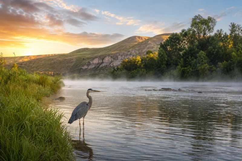
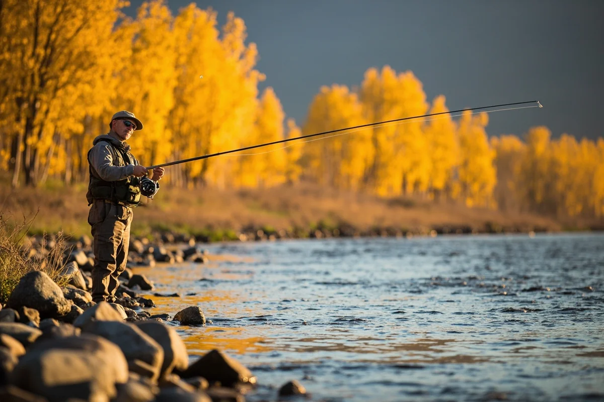
The Musselshell River is the centrepiece of outdoor recreation in Wheatland County. According to Montana Fish, Wildlife & Parks, the Musselshell supports populations of brown trout, rainbow trout, and walleye, making it a legitimate multi-species fishery that gets almost no pressure compared to more famous Montana rivers.
Access points near Harlowton are reasonably easy to find — the Musselshell River Fishing Access Site just east of town is a good starting point. What surprised me on a recent fall visit was how clear the water runs in September and October, well after the summer runoff has settled.
Bring a 4–5 weight rod for trout in the upper stretches, and consider going heavier if you’re targeting walleye in the slower, deeper sections further downstream. Fishing licenses are required and available through Montana FWP — expect to pay roughly in line with standard Montana non-resident fees.
Kayaking and Floating
The Musselshell is also a genuinely enjoyable float. The section through the Harlowton area is relatively mellow — Class I to II at most — making it accessible for intermediate paddlers. On a mid-May float through this stretch, the river felt completely private, not another boat in sight for hours.
Be aware that water levels fluctuate significantly by season. Late June and July can see fast, murky water after snowmelt; by late August, some sections become too shallow to float comfortably. Spring and early summer or late September tend to be the sweet spots.
Judith Gap Wind Farm Scenic Drive
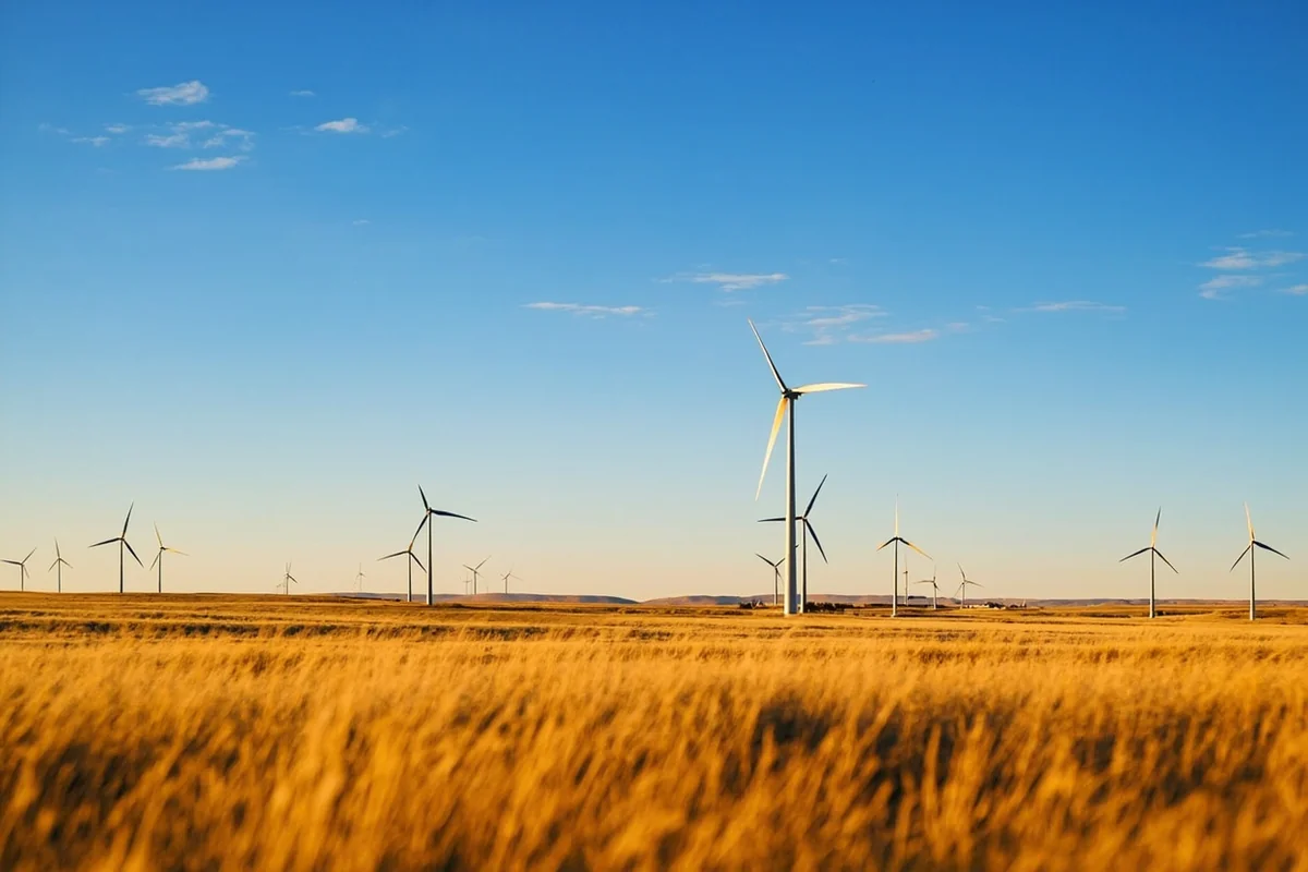
Just north of Harlowton, the Judith Gap Wind Farm is one of the most visually striking landscapes in central Montana. Driving through on US-191, the turbines rise out of the prairie like a forest of slow-moving giants — it’s oddly hypnotic.
The gap itself is a natural corridor between the Big Snowy Mountains to the east and the Little Belt Mountains to the west, which is exactly why it’s one of the windiest places in Montana. The drive through takes only about 20 minutes but makes for excellent photographs, especially in late afternoon light.
Hiking and Wildlife Watching
Wheatland County isn’t a hiking destination in the way that Flathead County is, but there are pleasant walks along the river and around the county’s public lands that reward patient visitors. Pronghorn antelope are common sights in the open fields, and white-tailed deer are frequently spotted along the river corridor at dusk.
Mule deer, sharp-tailed grouse, and the occasional golden eagle are also regulars. Bring binoculars — this is a county where wildlife watching happens incidentally rather than at designated viewing areas.
Scenic Drives Worth Taking
One of the great underrated pleasures of Wheatland County is simply driving. US Highway 12 cuts across the county in an east-west direction and offers consistently beautiful views of the river valley and rolling wheat country.
For something more off the beaten path, local county roads heading north toward the Judith Basin or south into Sweet Grass County open up landscapes that feel genuinely remote. Cell service drops out quickly once you leave US-12, so download offline maps before heading out.
A particularly memorable drive runs south from Harlowton toward Ryegate — it’s maybe 25 miles, mostly paved, and passes through farm country that looks like it hasn’t changed since 1940. Those travelling the region may also find it worthwhile to explore neighbouring Golden Valley County to the east, which connects naturally to Wheatland’s landscape and pace.
Best Time to Visit Wheatland County
| Season | Weather | Highlights | Drawbacks |
|---|---|---|---|
| Spring (Apr–May) | Cool, variable, occasional snow | Wildflowers, high river levels, migrating birds | Muddy roads, unpredictable weather |
| Summer (Jun–Aug) | Warm to hot, dry | Long days, fishing, river floating | July heat can be intense; river levels drop |
| Fall (Sep–Oct) | Mild, crisp, excellent visibility | Harvest season drama, golden light, hunting season | Hunting season means orange vests if hiking |
| Winter (Nov–Mar) | Cold, windy, some snow | Quiet, authentic, uncrowded | Limited services, some roads impassable |
Late September through mid-October is personally my favourite window. The harvest is typically underway or recently finished, the light turns amber and golden in ways that make even mundane landscapes look cinematic, and the summer visitors are completely gone.
The Judith Gap wind picks up dramatically in winter and early spring — this is not a place to be caught underprepared in February.
Suggested Itinerary
Day 1: Arriving and Settling Into Harlowton
Arrive in Harlowton via US-12 from either Billings (roughly 90 minutes east) or Great Falls (about 90 minutes northwest). Check into your accommodation — options are limited, so book ahead — and take a slow walk through the historic downtown.
Spend the late afternoon at Chief Joseph Park for the overlook view, then find dinner in town. The local café scene is small but genuine; expect home-style cooking at reasonable prices. Evening is a good time to drive the US-191 corridor north briefly to see the wind farm turbines silhouetted against the sky.
Day 2: River, Museum, and Open Road
Start the morning at the Musselshell River Fishing Access Site east of town — even if you’re not fishing, it’s a beautiful spot for a walk along the bank before the day heats up. If you have fishing gear, spend two to three hours here and you’ll likely have the river almost entirely to yourself.
After lunch, visit the Ott Museum — plan for 60 to 90 minutes if you’re genuinely interested in the history. In the afternoon, take the scenic drive south toward Ryegate or north into the Judith Gap before heading back to Harlowton for the evening.
Day 3: Exploring the Edges and Departing
Spend the morning driving some of the county roads you haven’t yet explored — scan the fields for pronghorn and keep your camera ready. Before leaving the county, stop at whatever local café or diner is open for a proper breakfast.
From Harlowton, US-12 connects west toward White Sulphur Springs and eventually into Broadwater County, or east toward Roundup and the oil country of the plains. Either direction opens into a different Montana story.
Where to Stay in Wheatland County
Accommodation in Wheatland County is limited and functional rather than luxurious. Harlowton has a small selection of motels that typically run in the budget-to-mid range — expect to pay roughly $70–$120 per night at time of writing, though rates fluctuate with demand and season.
There are no major hotel chains in the county. What you find instead are independently owned properties with genuine local character. The trade-off is that standards vary, so read recent reviews before booking.
Camping is available along the Musselshell River at designated public access sites. This is genuinely pleasant in good weather — falling asleep to river sounds in a county this quiet is an experience in itself. Dispersed camping on BLM land is possible with appropriate knowledge of regulations; check with the Lewistown BLM Field Office for specifics.
Where to Eat in Wheatland County
Dining options in Harlowton are limited but honest. The town has a handful of cafés, a bar or two that serves food, and a small grocery store for self-catering. Don’t arrive expecting farm-to-table restaurants or craft cocktails — this is real working Montana, and the food reflects that.
What the local cafés do well is generous portions at prices that feel almost nostalgically affordable by modern standards. A full breakfast with eggs, meat, toast, and coffee will generally cost you well under $15 — something increasingly rare in other parts of Montana. For context on how other parts of the state are changing economically, the Montana’s fastest growing cities and counties article offers useful perspective on why places like Wheatland feel like a different world from Bozeman.
Stock up on snacks and water before heading out on any scenic drives — there are no services between Harlowton and several of the surrounding towns.
What Most Visitors Get Wrong About Wheatland County
Underestimating distances between services. This one caught me off guard on my first visit. The county feels compact on a map but the distances between fuel stations and convenience stores are real. Fill up your tank in Harlowton before any extended drive, no exceptions.
Assuming the museum will be open. The Ott Museum is volunteer-run, and while summer hours are generally reliable, spring and fall hours can be unpredictable. Call ahead or check Facebook for current schedules — arriving to find it closed is an easy and avoidable disappointment.
Ignoring hunting season timing. Fall is genuinely the best time to visit Wheatland County, but it’s also when deer and elk hunting seasons open. If you’re hiking through fields or along river corridors in late October or November, wear blaze orange and be aware of your surroundings. This isn’t a concern unique to Wheatland, but many out-of-state visitors don’t think about it.
Expecting cellular reliability. Coverage in town is adequate, but it drops quickly outside Harlowton. Download your maps, save your accommodation address offline, and don’t rely on live navigation on county roads.
Overlooking the seasonal weather window. A few visitors each year arrive in March expecting spring and find winter. The Judith Gap is notorious for wind — on a particularly gusty April morning during one visit, my car door was nearly ripped off its hinges. Check forecasts carefully and pack layers regardless of what month you’re visiting.
How Wheatland County Compares to Neighbouring Counties
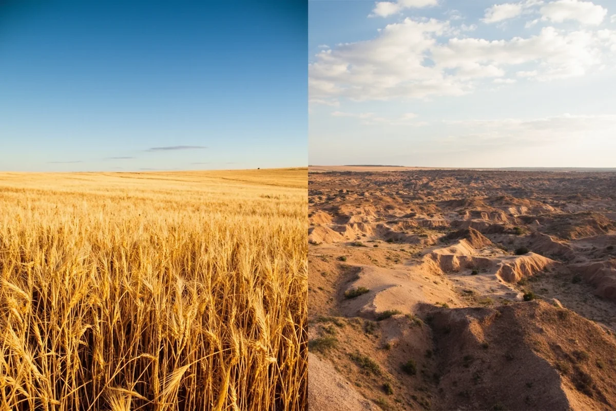
Travellers who enjoy exploring Montana’s lesser-known regions often build road trips that string together several central Montana counties. Fergus County to the north offers the Charles M. Russell National Wildlife Refuge and the Judith Mountains, adding a wilder dimension to a Wheatland-centred trip.
To the west, Granite County shifts the terrain dramatically into mountain country. To the south and east, the plains stretch toward Carbon County and the Beartooth Plateau. Wheatland makes a natural pivot point for a central Montana loop.
What distinguishes Wheatland specifically is its agricultural identity — this is genuinely farm country in a way that some other Montana counties only partially are. The relationship between the land and the people who work it is visible in everything from the grain elevators to the conversations at the local café counter.
Practical Information for Visitors
| Detail | Information |
|---|---|
| County Seat | Harlowton |
| Population | Approximately 2,000 (county-wide) |
| Nearest Major City | Billings (~130 miles east), Great Falls (~100 miles northwest) |
| Main Highway | US Highway 12 (east-west), US-191 (north-south) |
| Airport Access | Billings Logan International Airport (closest commercial flights) |
| Fuel Availability | Available in Harlowton; limited elsewhere in county |
| Cell Coverage | Adequate in Harlowton; poor to none on rural roads |
| Emergency Services | Wheatland Memorial Healthcare (Harlowton) |
| Fishing Licence | Required; available through Montana FWP online or in Harlowton |
Is Wheatland County Right for Your Trip?
This county is not for everyone, and being honest about that serves you better than overselling it. If you’re coming to Montana primarily for Glacier National Park or Yellowstone, Wheatland County is a long way from either and probably not worth a dedicated detour.
But if you’re building a road trip across central Montana, interested in agricultural heritage and small-town American life, or simply want somewhere genuinely quiet and uncrowded — Wheatland County rewards the effort.
The travellers who love it most tend to be those who find deep satisfaction in the unhurried, the unfiltered, and the overlooked. For them, it’s one of the most honest places in Montana. For similar appeals to off-the-beaten-path Montana travel, counties like Daniels County in the northeast corner of the state or Carter County in the southeastern corner offer comparable quiet authenticity.
Final Thoughts
Wheatland County won’t blow you away with dramatic mountain scenery or adrenaline-fuelled adventure. What it offers instead is something increasingly rare in American travel — a place that exists entirely on its own terms, without any performance for visitors.
The Musselshell River will still be running quietly through the valley whether you show up or not. The grain elevators will still catch the afternoon light. The locals at the café counter will still be having the same conversations they’ve been having for decades. Arriving here feels less like visiting a destination and more like stepping momentarily into a life that runs on a completely different rhythm.
If that’s what you’re looking for — and more travellers are, especially those weary of curated experiences — Wheatland County is exactly where you should point your car.
How We Researched This Guide
This guide is based on multiple visits to Wheatland County across different seasons, including spring and fall trips that allowed for direct comparison of river conditions, landscape character, and service availability.
Key attractions including the Ott Museum, Musselshell River access sites, and the Judith Gap scenic corridor were explored firsthand. Information on fishing regulations and public land access was verified with Montana Fish, Wildlife & Parks and the BLM Lewistown Field Office.
Local business owners and café staff in Harlowton provided additional context on seasonal patterns and community history that doesn’t appear in standard travel resources.
Frequently Asked Questions
What is there to do in Wheatland County, Montana for outdoor enthusiasts?
Wheatland County offers excellent fishing along the Musselshell River, wildlife watching on the open prairie, and hunting for deer and upland game birds. The rolling wheat fields and wide-open landscapes make it a great destination for photography, birdwatching, and experiencing authentic rural Montana life away from the tourist crowds.
When is the best time to visit Wheatland County, Montana?
Late spring through early fall, roughly May through September, offers the most pleasant weather for exploring Wheatland County, with temperatures ranging from the 60s to low 90s°F. Harvest season in late summer and early fall is particularly scenic, when golden wheat fields stretch across the county and the big Montana sky creates stunning photographic opportunities.
How far is Wheatland County, Montana from Billings?
Wheatland County is approximately 90 miles northwest of Billings, making it roughly a 1.5-hour drive via US-12 West through the Musselshell River Valley. Billings Logan International Airport is your best arrival point if you’re flying in, and the scenic drive itself is worth the trip as you pass through classic central Montana ranch country.
What is the county seat of Wheatland County and what can visitors find there?
Harlowton is the county seat of Wheatland County and serves as the main hub for visitors, offering basic amenities including small locally-owned restaurants, gas stations, and lodging options. The town is home to the Upper Musselshell Museum, which showcases fascinating local history including the area’s railroad heritage and homesteading era.
Is Wheatland County, Montana a good destination for a road trip through central Montana?
Absolutely — Wheatland County sits right along US Highway 12, one of Montana’s most underrated scenic drives connecting the Yellowstone region to the Missouri River country. It pairs well with stops in nearby Roundup, White Sulphur Springs, and the Judith Basin, making it a natural waypoint on a central Montana road trip loop.
What should I budget for a trip to Wheatland County, Montana?
Wheatland County is one of Montana’s more budget-friendly destinations, with modest motel accommodations typically running $80–$130 per night in Harlowton. Dining options are limited but affordable, with most meals at local diners costing under $20 per person, so the bigger expenses to plan for are fuel and any hunting or fishing licenses required for outdoor activities.
Are there any unique historical attractions in Wheatland County, Montana?
Wheatland County has a rich railroad history as Harlowton was once a significant division point for the Milwaukee Road, the first electrified transcontinental railroad in the United States. You can still see remnants of this history at the Upper Musselshell Museum, which houses a preserved electric locomotive and exhibits detailing how the railroad shaped settlement across central Montana.