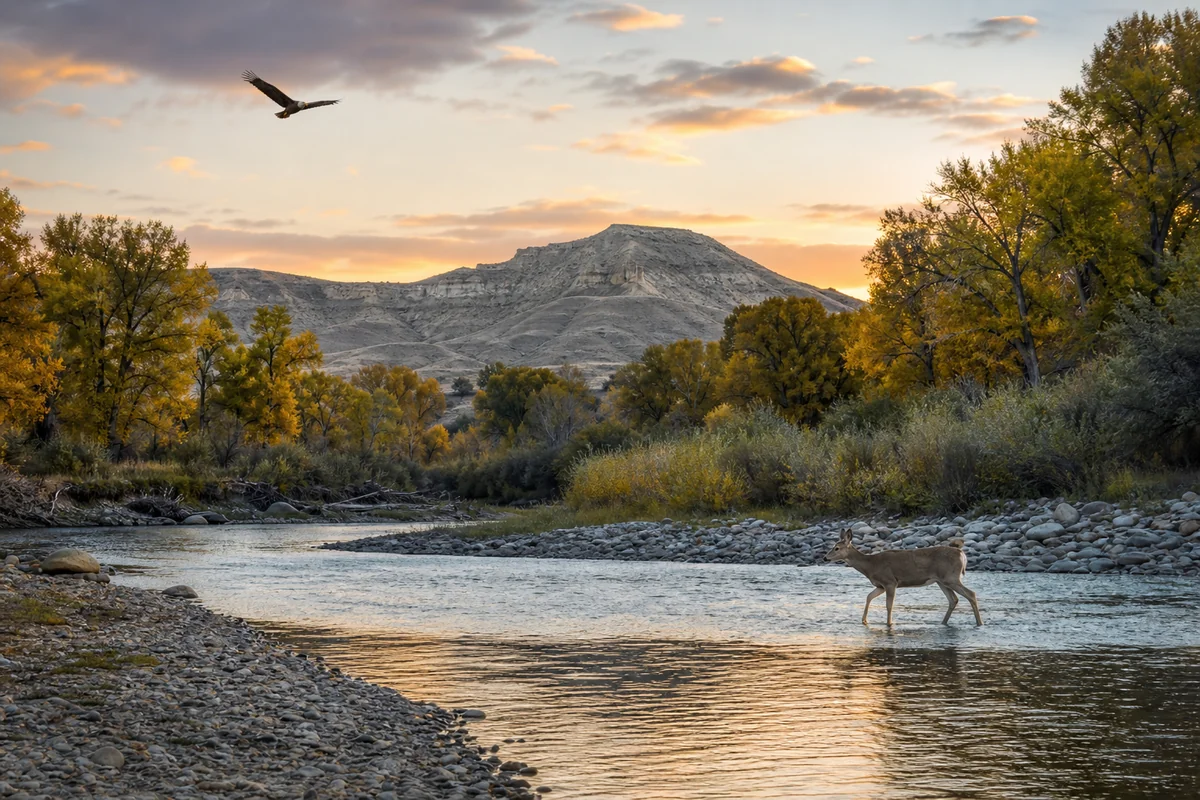
Standing at the edge of the Musselshell River at dusk, watching a white-tailed deer pick its way through the cottonwood corridor while a hawk circled overhead, it hit me — this is the Montana most tourists never find.
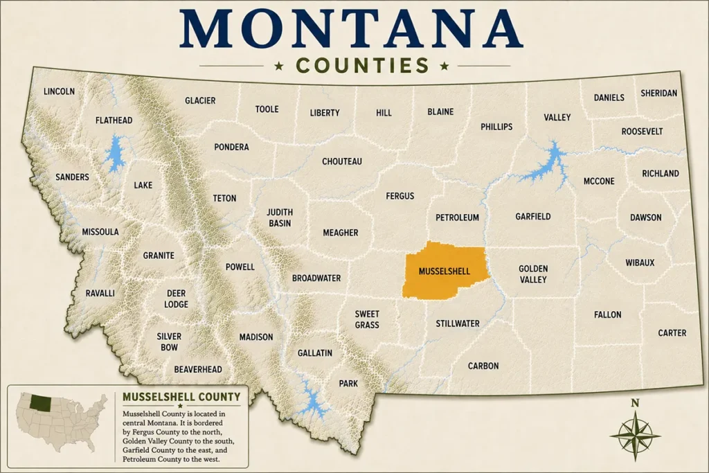
Musselshell County sits in the geographic heart of the state, part of the fascinating mosaic of the 56 Montana Counties, and it rewards the travelers patient enough to seek it out.
- Musselshell County is a remote, authentic Montana experience centered on Roundup, its county seat.
- Best visited in late spring or early fall — summers are hot and dry, winters are brutally cold.
- Top draws include the Musselshell River, coal mining history, wildlife watching, and wide-open prairie landscapes.
- Very limited accommodation — book ahead, especially during hunting season in fall.
- Not a destination for luxury travelers; come for solitude, history, and genuine Big Sky country.
- Neighboring counties like Fergus County and Golden Valley County pair well for a longer road trip.
Liked this article?
Add Roaming Montana as a preferred source so you see more of our articles and guides on Google.
Where Is Musselshell County?
Musselshell County occupies a striking stretch of central Montana, bordered by Fergus and Petroleum counties to the north, Golden Valley and Yellowstone counties to the south, Meagher County to the west, and Wheatland County to the east.
The county seat is Roundup, a small but proud town of roughly 1,700 residents sitting along US Highway 12.
Driving into the county from Billings — about 60 miles to the southeast — you’ll notice the terrain shift from rolling plains into a more dramatic landscape of coulees, rimrock bluffs, and river bottomlands. It’s the kind of country that makes you feel genuinely far from everything, in the best possible way.
For context on how this region compares to Montana’s fast-growing urban centers, it’s worth reading about Montana’s fastest-growing cities and counties — Musselshell is decidedly not on that list, and that’s precisely its appeal.
A Brief History of Musselshell County
Musselshell County was established in 1911, carved out of Fergus and Meagher counties as homesteaders and coal prospectors flooded the region.
The county takes its name from the Musselshell River, which in turn is believed to derive from the freshwater mussels that Native American tribes, including the Crow and Blackfeet, historically harvested from its banks.
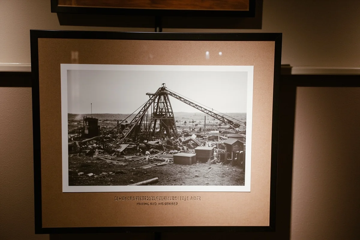
The early 20th century brought coal mining to the Bull Mountains south of Roundup, and the Northern Pacific Railway made the town a regional hub. At its peak, the coalfields employed hundreds of workers, many of them immigrants from Eastern Europe who built lasting cultural roots in the community.
What most visitors don’t expect is how richly layered the human history here is — from prehistoric Indigenous presence to cowboy culture to hard-rock mining heritage. That depth makes Musselshell County far more interesting than a casual glance at the map suggests.
Things to Do in Musselshell County
Explore Roundup and Its Downtown
Roundup is a working Montana town, not a tourist facade, and that’s what makes walking its main street genuinely interesting. The storefronts mix longtime family businesses with a handful of newer spots, and locals are refreshingly unhurried and willing to chat.
The Musselshell Valley Historical Museum is the cultural anchor of the town. Housed in a compact but carefully curated building, it covers everything from dinosaur fossils found in the region to coal mining artifacts and homestead-era farm equipment.
What surprised me most was the quality of the fossil collection — central Montana’s geology is extraordinarily productive, and the museum makes that tangible.
Admission is typically modest, usually under $5 at time of writing, and the volunteer docents often have personal family connections to the history on display, which adds a layer no exhibit label can replicate.
The Musselshell River
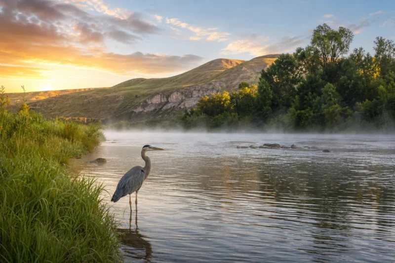
The river is the county’s natural backbone. Stretching roughly 300 miles before joining the Missouri River, the Musselshell runs through the county in a series of cottonwood-lined bends that attract wildlife year-round.
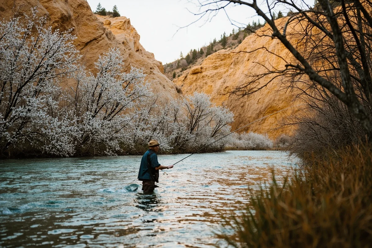
Fishing here is genuinely rewarding for those who put in the effort. The river holds sauger, channel catfish, northern pike, and smallmouth bass in various stretches.
According to Montana Fish, Wildlife & Parks, the Musselshell is a designated fishing access site corridor — several public access points exist along its length within the county, though conditions vary significantly by season and water year.
Canoe and kayak trips on the lower Musselshell are possible in higher water years — late spring tends to offer the best flows. On a recent visit in late May, the river was running a healthy pale green with enough depth for a solid half-day float, but by mid-July the same stretch had dropped to wading depth in places.
Bull Mountains Wildlife Watching
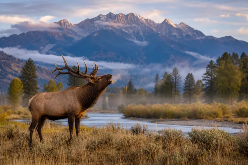
The Bull Mountains rise just south of Roundup, a low but dramatically eroded range of pine-covered ridges and open parks that serves as critical wildlife habitat. Mule deer, white-tailed deer, elk, wild turkey, and pronghorn are all present, and the area is one of central Montana’s most productive hunting zones in fall.
Even outside hunting season, the Bull Mountains reward slow driving and patient watching. The dirt roads through Bureau of Land Management land are accessible to most vehicles in dry conditions, though a high-clearance rig is genuinely helpful after rain. The sunsets from the ridgelines here are extraordinary — shades of amber and rose across an uninterrupted prairie horizon.
Coal Camp History Sites
Several remnants of the coal camp era survive in various states of ruin around the Bull Mountains. These aren’t formally developed historic sites — you’ll need local knowledge or good research to find them — but stumbling across the foundation of a company store or the collapsed timbers of a tipple is one of those experiences that makes central Montana feel genuinely alive with history.
The Roundup museum staff can point you toward the best-documented locations. What most guides skip is that some of these sites sit on private ranch land, so always confirm access before heading out.
Petroleum County and the Missouri Breaks Adjacent Areas
Musselshell County itself doesn’t border the Missouri River Breaks, but its northern reaches begin to take on similar badland character. A day trip north into Fergus County or east toward Golden Valley County extends the experience considerably if you have the time.
For those exploring the deeper prairie counties of central Montana, pairing Musselshell with a visit to Garfield County or Custer County creates a meaningful road trip arc across the heart of Big Sky Country.
Hunting and Upland Bird Seasons
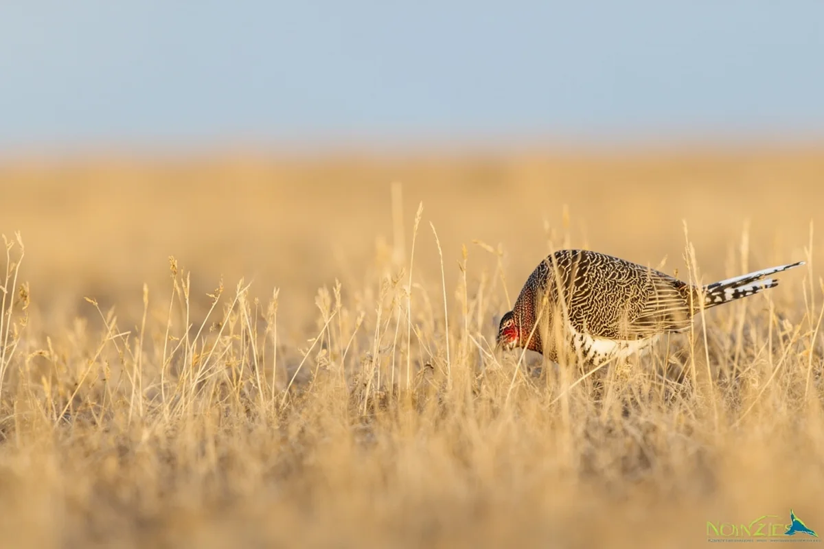
Fall hunting season transforms Musselshell County every October. Pheasant, Hungarian partridge, sharp-tailed grouse, and deer draw hunters from across Montana and neighboring states. The county’s mix of CRP grasslands, river bottoms, and timbered Bull Mountain terrain creates genuinely diverse habitat.
Accommodation books out fast during the peak October–November window — sometimes months in advance. Plan accordingly, and if you’re combining a hunting trip with general exploration, mid-September offers mild weather, excellent bird watching, and dramatically lower crowds.
Suggested Itinerary
Day 1: Arriving in Roundup and Getting Oriented
Drive into Roundup via US-12 from Billings, a straightforward 60-mile stretch that takes roughly an hour. Check into your accommodation, then walk the main street while it’s still afternoon — the light hits the older brick buildings beautifully around 4 p.m.
Spend an hour at the Musselshell Valley Historical Museum before it closes (typically early evening in summer, earlier off-season — call ahead). In the evening, have dinner at one of the local diners; the portions are Montana-sized and the pie is not optional.
Day 2: The River, the Bluffs, and the Bull Mountains
Start early — drive south toward the Bull Mountains before the day heats up. Follow the county roads into the foothills for wildlife watching and photography. By mid-morning, loop back toward the Musselshell River for a few hours of fishing or a short float if water conditions allow.
After lunch in Roundup, head to one of the BLM river access points in the afternoon and spend the remaining daylight watching for wildlife in the cottonwood corridor. The combination of river bottom and upland terrain means encounters with deer, raptors, and waterfowl are almost guaranteed in spring or fall.
Day 3: Back Roads, History, and Departure
Dedicate your final morning to the coal camp history drive south of Roundup. Check with locals the evening before for current road conditions and any access notes. This is unhurried, exploratory travel — plan for a half-day on gravel roads with no fixed schedule.
Head out via US-12 eastbound toward Golden Valley County or backtrack toward Billings depending on your onward plans. The drive itself is the experience — rolling shortgrass prairie under a sky that earns the Big Sky name honestly.
Where to Stay in Musselshell County
Accommodation options in Musselshell County are limited but functional. Roundup has a small selection of motels along the highway corridor, and rates generally range from roughly $80–$140 per night depending on season and availability, though expect prices to skew higher during fall hunting season.
There are no resort-style properties or boutique hotels here. What you’ll find are clean, no-frills roadside motels and occasional vacation rental listings that come and go on platforms like Airbnb and VRBO. Checking those platforms close to your trip date is worth it, as local ranch stays sometimes appear with little advance notice.
Camping is available at county and BLM sites along the Musselshell River corridor. These are primitive sites — bring everything you need, including water. The BLM’s Lewistown Field Office manages significant public land in the broader region and is a useful contact for dispersed camping guidance.
Where to Eat in Roundup
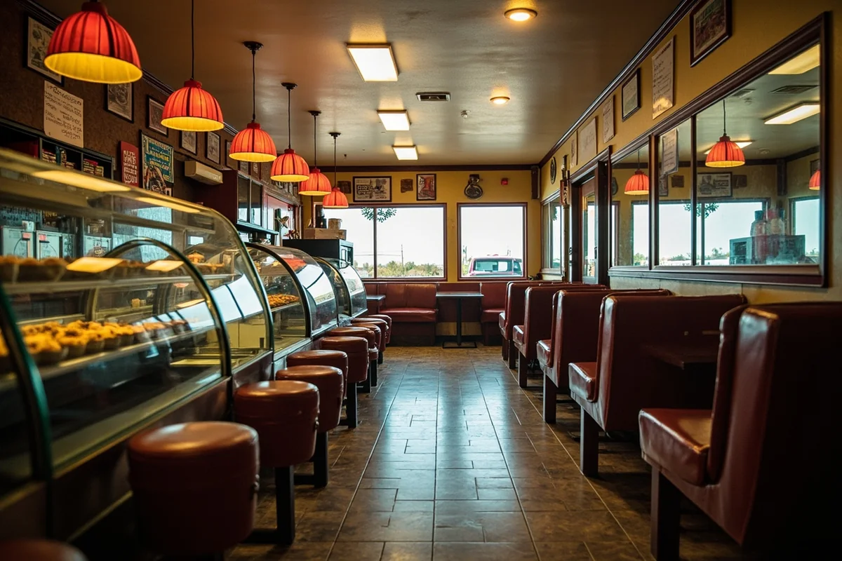
Dining options in Musselshell County center almost entirely on Roundup, and the selection is small. Expect a handful of diners, a bar or two with food, and a basic grocery store for self-catering supplies.
What the food lacks in variety it often makes up for in generosity and honesty. Local diners in towns like Roundup tend to do breakfast and lunch extremely well — eggs, biscuits, and homemade soups are typical strong points. Dinner options thin out considerably, so plan your day around an early evening meal.
One genuine mistake made on a first visit: arriving on a Sunday evening expecting full service. Several spots close early or entirely on Sundays. Check hours before you arrive, especially outside of summer.
Practical Travel Information
| Category | Details |
|---|---|
| County Seat | Roundup, MT |
| Population | Approx. 4,300 (county total, per US Census estimates) |
| Nearest Major City | Billings (~60 miles southeast via US-12) |
| Best Months to Visit | May–June (spring), September–October (fall) |
| Summer Temps | Typically 85–100°F in July–August |
| Winter Temps | Can drop below -20°F; roads may close |
| Nearest Airport | Billings Logan International (BIL) |
| Cell Coverage | Spotty to nonexistent outside Roundup — download offline maps |
| Fuel Stops | Roundup only — do not leave town with less than half a tank |
| Fishing License | Required — available at Montana Fish, Wildlife & Parks or local outfitters |
What Most Visitors Get Wrong About Musselshell County
Underestimating the Distances
Central Montana’s scale is deceptive even on a map. Drives between points of interest that look like 20 minutes on Google Maps routinely take 45 minutes on gravel roads. Build in buffer time, always.
Assuming Services Are Available
There is no urgent care clinic in Roundup at the time of writing — the nearest hospital is in Billings. Fuel up in town before any back-road excursion, and carry a basic first aid kit, extra water, and a physical paper map or downloaded offline map. Cell service disappears quickly once you leave the highway corridor.
Visiting in the Heat of Summer
July and August temperatures regularly push into the high 90s and above. The river access points are genuinely pleasant, but extended hiking or off-road driving in midday heat is uncomfortable at best. If summer is your only option, plan outdoor activity for early morning and late evening, and rest in shade during the middle of the day.
Not Calling Ahead
The museum, local businesses, and even some fuel stations keep irregular hours, especially off-season. What I learned the hard way on an October visit was that the museum had shifted to weekend-only hours after Labor Day. A two-minute phone call before arrival saves real frustration.
Overlooking the Adjacent Counties
Musselshell County is most rewarding as part of a broader central Montana road trip. Counties like Broadwater County to the west, Cascade County to the northwest, and Chouteau County further north each add distinct character to a longer journey. Treating Musselshell as an isolated day trip rather than a stop on a longer route means leaving a lot of Montana on the table.
When to Visit Musselshell County
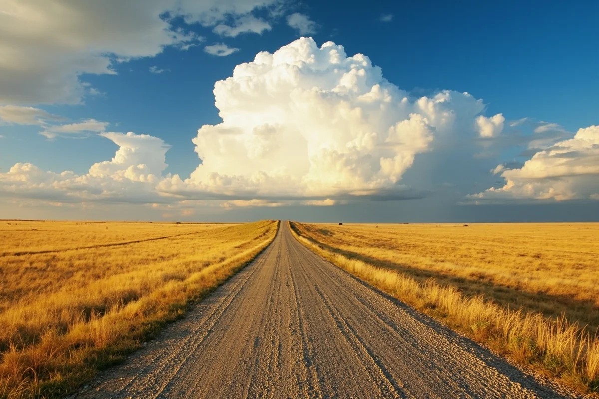
Late May to mid-June is arguably the sweet spot. The Musselshell River runs at healthy levels, wildflowers bloom across the coulees, and temperatures are comfortable for outdoor activity — generally in the 60s and 70s. Bird life is at its most active, and the landscape has a green vitality that disappears quickly by July.
September and early October is the other prime window. Temperatures cool back down, the cottonwoods turn gold along the river, and hunting season brings the county to life. Fall light on the Bull Mountains is exceptional for photography.
Winter is for serious adventure travelers only. Roads can become impassable with little warning, temperatures are extreme, and many services reduce hours or close entirely. If you go in winter, be fully self-sufficient.
Spring shoulder season (April) can be rewarding but unpredictable. Mud season is real in Montana — some back roads become completely impassable, and late snowstorms are not unusual well into May.
Musselshell County in the Context of Central Montana
One of the things that makes Musselshell County worth understanding is how it fits into the broader tapestry of central Montana. Its neighbors to the south, like Carbon County and Fallon County, each represent different facets of eastern Montana’s character.
Counties like Blaine County to the north and Daniels County in the far northeast share Musselshell’s quiet, unhurried pace, while more developed counties like Gallatin County and Flathead County represent the tourist-facing side of Montana that most visitors encounter first.
What Musselshell offers is the in-between Montana — not wilderness in the high alpine sense, not urban in any sense, but a working landscape of ranches, rivers, and rimrock that feels fundamentally real.
Final Thoughts
Musselshell County won’t appear on many Montana travel influencer feeds, and that’s exactly why it’s worth going. The county rewards curiosity, patience, and a willingness to move at a slower pace than modern travel culture typically encourages. What you’ll find here — genuinely unspoiled prairie, honest small-town hospitality, and a landscape that hasn’t been packaged for Instagram — is increasingly rare.
Come prepared, come with time to spare, and resist the urge to rush from attraction to attraction. The best moments in Musselshell County happen when you stop the car and actually look — at the river, the bluffs, the enormous sky, the hawk on the fence post fifty yards from the road.
If central Montana is new territory for you, let Musselshell County be your introduction. It will recalibrate what you think Montana is, and leave you curious about every quiet county on the map between here and the mountains.
How We Researched This Guide
This guide is based on multiple visits to Musselshell County across different seasons, including spring and fall trips that allowed direct comparison of river conditions, wildlife activity, and local business operations.
Research included firsthand exploration of Roundup’s downtown, the Musselshell Valley Historical Museum, Bull Mountains back roads, and river access points along the Musselshell River corridor.
Conversations with local museum volunteers, outfitters, and ranch operators informed the practical advice sections.
Information was verified with official sources including Montana Fish, Wildlife & Parks, the BLM Lewistown Field Office, and the Montana Department of Transportation road condition resources.
Frequently Asked Questions
What is there to do in Musselshell County, Montana for outdoor enthusiasts?
Musselshell County offers excellent opportunities for hunting, fishing, hiking, and wildlife watching, with the Musselshell River serving as a central attraction for anglers targeting catfish, walleye, and bass. The surrounding prairie and badlands terrain are popular with hunters pursuing pronghorn, mule deer, and upland birds during open seasons. If you love wide-open spaces with minimal crowds, this off-the-beaten-path Montana county delivers an authentic rural Western experience.
When is the best time to visit Musselshell County, Montana?
The best time to visit Musselshell County is late spring through early fall, roughly May through September, when temperatures are mild and outdoor activities are fully accessible. Summer highs typically reach the mid-80s°F, making it comfortable for exploring the river valleys and rolling prairies. Fall is especially popular with hunters, while winter can bring harsh conditions with heavy snow and temperatures well below freezing, so plan accordingly if visiting off-season.
How far is Musselshell County from Billings, Montana?
Roundup, the county seat of Musselshell County, is located approximately 50 miles north of Billings along US-87, making it an easy day trip or a convenient first stop on a central Montana road trip. The drive takes under an hour and transitions quickly from urban Billings into wide prairie landscapes. Billings Logan International Airport is your best flight option if you’re flying in from elsewhere in the US.
What should I pack for a trip to Musselshell County, Montana?
Pack layers regardless of the season, as temperature swings between morning and afternoon can be dramatic on the Montana high plains, sometimes exceeding 30°F in a single day. Sturdy hiking boots, sun protection, and plenty of water are essential since services and shade are sparse across much of the county. If you’re visiting for hunting or fishing, make sure to carry your valid Montana licenses and any required stamps, which can be purchased online through Montana Fish, Wildlife & Parks before your trip.
What is the Musselshell Valley Historical Museum and is it worth visiting?
The Musselshell Valley Historical Museum in Roundup is a worthwhile stop for travelers curious about the region’s homesteading, coal mining, and ranching heritage that shaped central Montana in the late 1800s and early 1900s. The museum features local artifacts, historic photographs, and exhibits that give real context to the landscapes you’ll be driving through. Admission is typically low-cost or donation-based, making it an affordable and enriching addition to your itinerary.
Are there campgrounds or RV parks in Musselshell County, Montana?
Musselshell County has limited but functional camping options, including basic campgrounds along the Musselshell River and primitive sites on public lands managed by the Bureau of Land Management. RV travelers will find a few hookup sites in and around Roundup, though amenities are basic compared to more touristy Montana destinations. I’d recommend booking ahead during peak hunting season in fall, as spots fill quickly with out-of-state visitors.
How much does a trip to Musselshell County, Montana typically cost?
Musselshell County is one of Montana’s more budget-friendly destinations since lodging, dining, and activities are far less expensive than popular spots like Glacier or Yellowstone. Expect to pay roughly $80–$130 per night for a motel in Roundup, with most meals at local diners running well under $20 per person. If you’re hunting or fishing, factor in Montana non-resident license fees, which vary by species but typically range from $20 to over $1,000 for combination big game licenses.